Top 5 Mountain Passes around Kaltenleutgeben
Best mountain passes around Kaltenleutgeben are found within the Wienerwald, offering elevated points, saddles, and scenic routes. These locations provide varied terrain for outdoor activities. The area is known for its recreational appeal for hikers and cyclists. Many routes feature viewpoints over the surrounding landscape.
Best mountain passes around Kaltenleutgeben
- The most popular mountain passes is Sulzer Höhe Pass, a mountain pass popular with road cyclists. It features a constant, gentle uphill stretch and offers views over the landscape…
Last updated: July 7, 2026
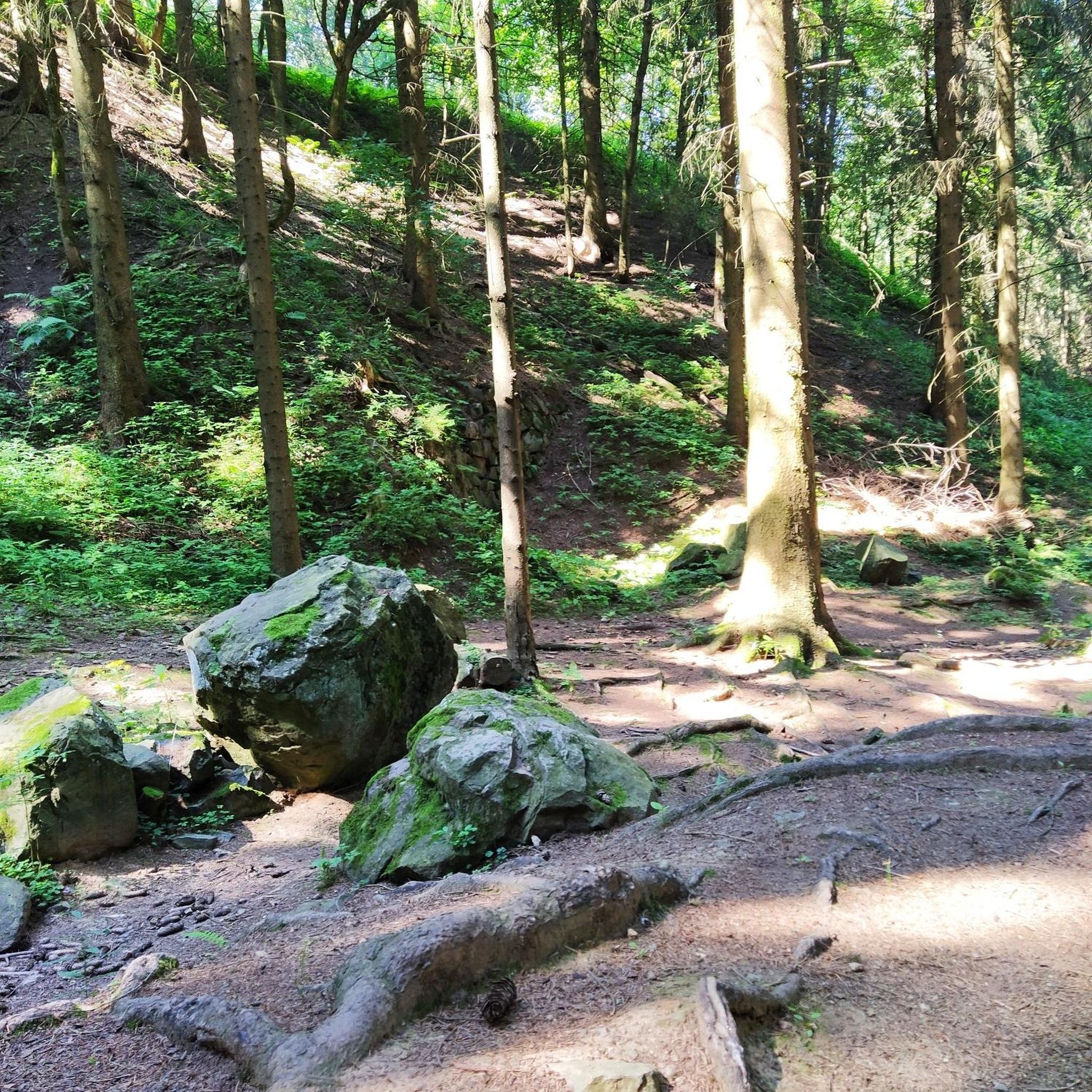
Sulzer Höhe Pass
Highlight • Mountain Pass
Translated by Google •
Tip by

Switchbacks at Geschriebene Buche
Highlight (Segment) • Mountain Pass
Tip by

Sign up now to discover places like this
Get recommendations on the best single tracks, peaks, & plenty of other exciting outdoor places.
Sign up for free
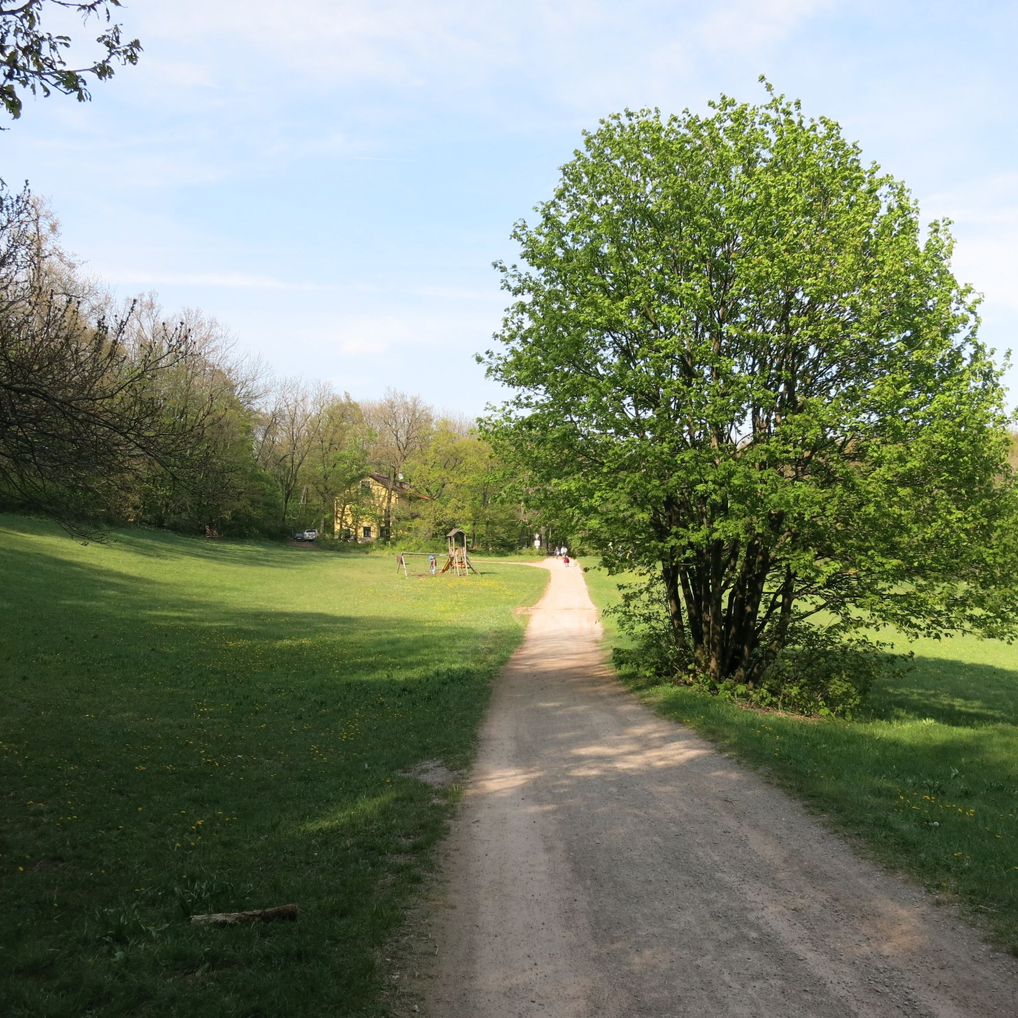
Hengstl Pass
Highlight • Mountain Pass
Translated by Google •
Tip by

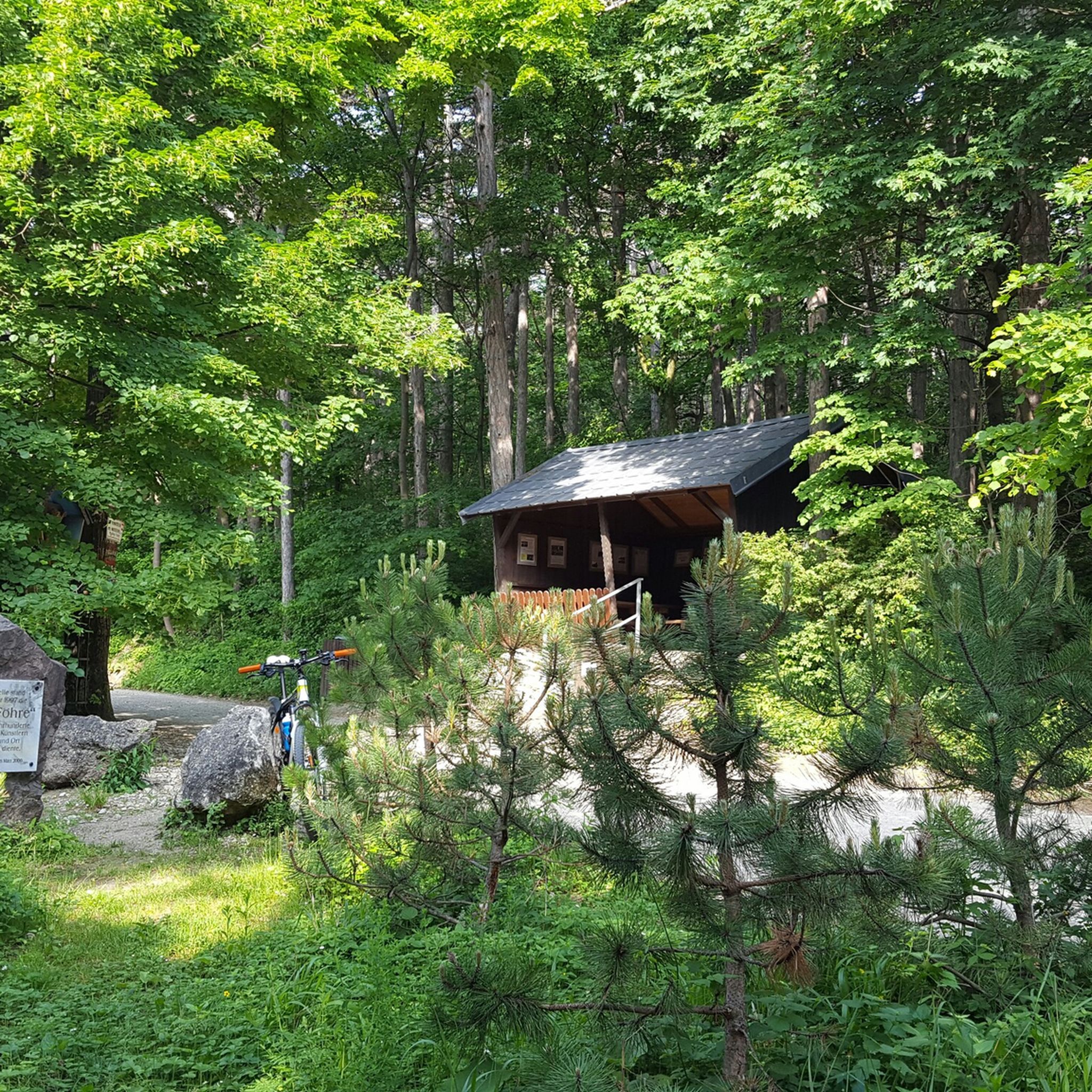
Kleiner Semmering Pass
Highlight • Mountain Pass
Although the four beautiful serpentine curves invite you to take them close to the grip limit of racing bike tires, be warned against this here. The …
Translated by Google •
Tip by

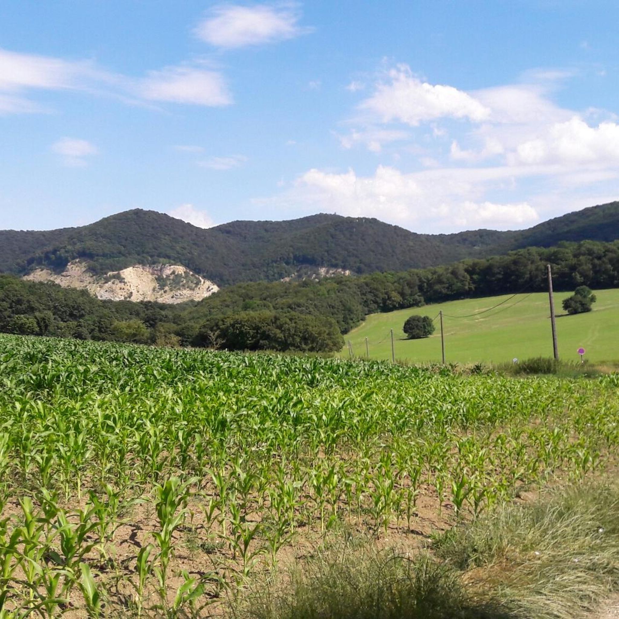
Saddle Between Sittendorf and Dornbach
Highlight • Mountain Pass
Translated by Google •
Tip by

Start today with a free account
Your next adventure awaits.
Login or Signup
Tips from the Community

The route is good for training gentle ascents.
0
0

The Kleine Semmering is the watershed between Wienfluss and Liesingbach.
1
0


A joy both on the ascent and on the descent, right on Vienna's doorstep.
1
0

beautiful route through the forest – almost no traffic
1
0
Comfortable pass road – traffic is limited
0
0

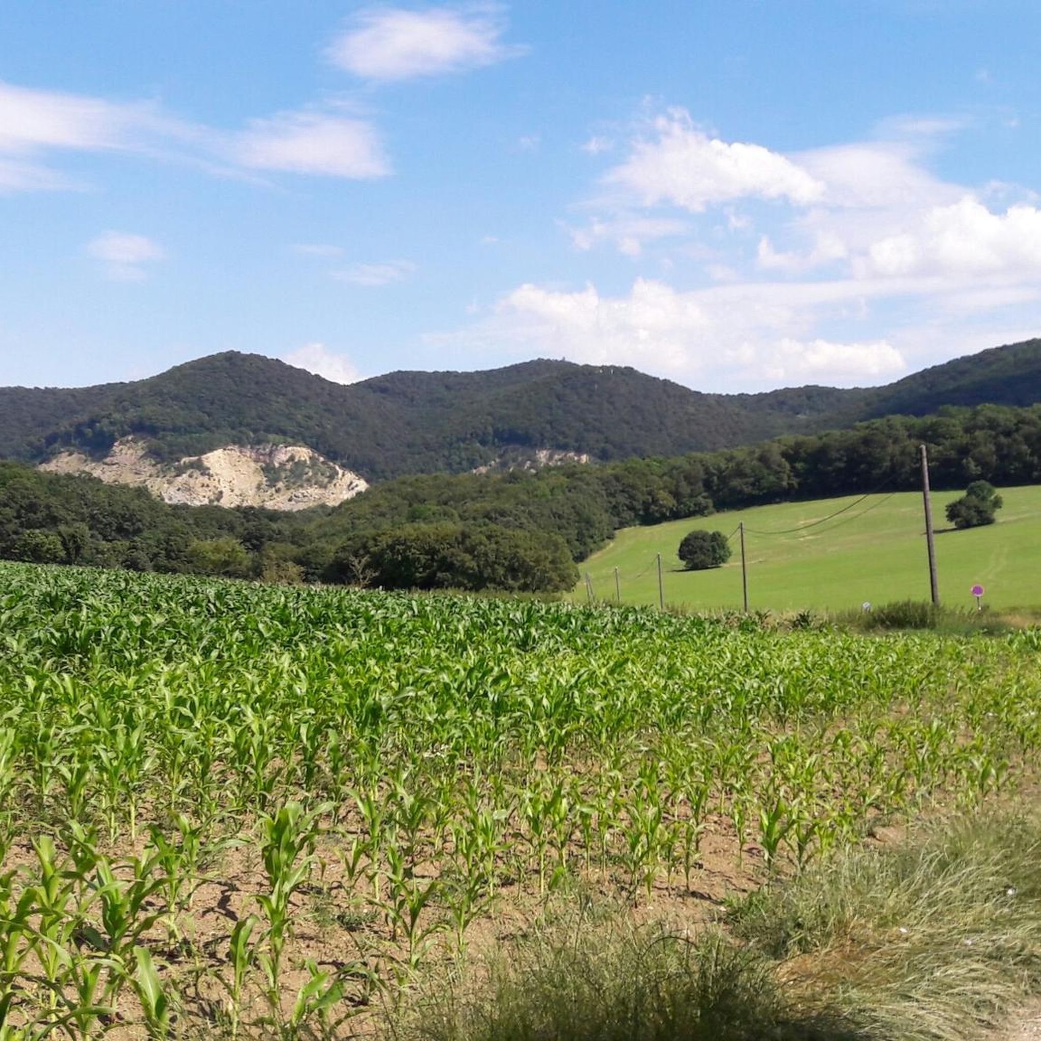
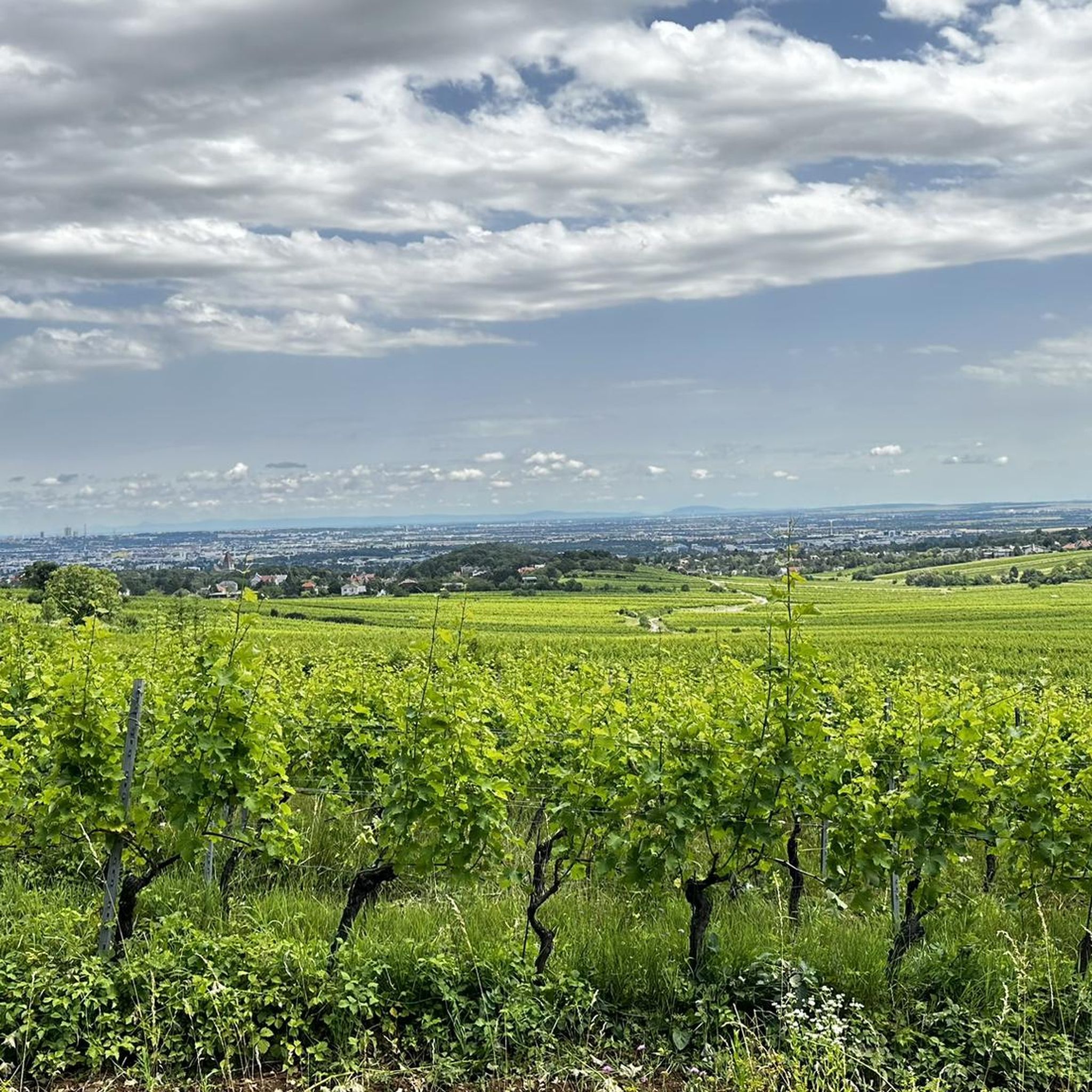
The Sulzer Höhe is a mountain in the southern Vienna Woods that is 491 meters high. It lies between the towns of Kaltenleutbaren and Sulz in the Vienna Woods and is a popular destination for hikers, cyclists and climbers. The mountain offers a beautiful view over the landscape and the city of Vienna. At the summit there is a large radio tower accompanied by an old tree. The Sulzer Höhe is also historically interesting because it was first mentioned in documents in 1754/55 and was used to extract limestone for the construction of buildings and roads.
2
0

Easy pass with a relatively constant slight incline
1
1
Frequently Asked Questions
What are the most popular mountain passes around Kaltenleutgeben?
The Wienerwald offers several popular elevated points and saddles. Among them, the Sulzer Höhe Pass is a favorite for road cyclists, known for its gentle uphill stretch and views. Another well-regarded spot is the Kleiner Semmering Pass, appreciated for its beautiful hairpin bends through the forest. The Switchbacks at Geschriebene Buche also offer scenic, quiet routes for cyclists.
What kind of terrain can I expect on the mountain passes near Kaltenleutgeben?
The terrain around Kaltenleutgeben, within the Wienerwald, features a mix of elevated points, saddles, and scenic routes. You'll find everything from constant, gentle uphill stretches, like at Sulzer Höhe Pass, to routes with beautiful hairpin bends and moderate climbs, such as the Kleiner Semmering Pass. Many routes are forested, offering a tranquil experience.
Are there good viewpoints along the mountain passes?
Yes, several elevated points and passes offer rewarding views. The Sulzer Höhe Pass provides beautiful views over the landscape and the city of Vienna. The Höllenstein, with its Julienturm observation tower, offers expansive panoramic views over the Wienerwald, reaching as far as Rax and Schneeberg on clear days. The Löwenkopf also provides beautiful views over the surrounding forests and hills, including Kaltenleutgeben itself.
What outdoor activities can I do near these mountain passes?
The area around Kaltenleutgeben is excellent for various outdoor activities. You can enjoy extensive hiking, with routes like the 'Bierhäuselberg Rest Area – Franz Ferdinand Hut loop' or the 'Red Cross in the Vienna Woods – Viennese Hut loop'. For cyclists, there are numerous road cycling routes, including those that incorporate the passes, such as the 'Kleiner Semmering Pass – Rechter Wöglerin Curve loop'. You can find more details on these activities in the hiking guide and road cycling guide for Kaltenleutgeben.
Are there any family-friendly options among the mountain passes or nearby trails?
While specific passes might involve moderate climbs, the Wienerwald generally offers accessible routes. For family-friendly walks, consider easier hiking routes around Kaltenleutgeben, such as the 'Kleiner See Kaltenleutgeben – Flössl Quarry Pond loop' which is rated easy. The Höllensteinhaus is also a popular destination with food and drinks, and can be reached via flatter routes from Gießhübl or Sittendorf, making it suitable for a family outing.
What is the best time of year to visit the mountain passes around Kaltenleutgeben?
The Wienerwald is enjoyable throughout much of the year. Spring and autumn offer pleasant temperatures and beautiful scenery, with vibrant foliage in fall. Summer is also popular, though some routes might be damp due to forest cover, as noted for the Kleiner Semmering Pass. Winter hiking is possible, but conditions can vary, especially on less-trafficked roads.
Are there places to eat or rest near the mountain passes?
Yes, the Wienerwald has several spots for refreshment. The Höllensteinhaus, located at the Höllenstein summit, is a managed hut offering food, drinks, and even overnight stays. The Wiener Hütte is another essential and popular excursion restaurant situated on an elevated area between Kaltenleutgeben and Breitenfurt, serving traditional Austrian cuisine and providing a welcoming stop for hikers and cyclists.
What are some unique or less-trafficked mountain pass routes for cyclists?
For cyclists seeking quieter routes, the Switchbacks at Geschriebene Buche are a 'little gem' as the route is hardly used by cars. Similarly, the Hengstl Pass is very little traveled, allowing you to enjoy the tranquility of the Vienna Woods. These offer a more serene cycling experience compared to busier roads.
Are there any historical sites or landmarks to see near the passes?
The Sulzer Höhe Pass is historically interesting, having been first mentioned in documents in 1754/55 and used for limestone extraction. The Julienturm, an observation tower at Höllenstein, was erected in 1880, adding a historical element to the panoramic views. The region as a whole, being part of the Wienerwald, has a rich history tied to Vienna's development and recreation.
What should I be aware of regarding road conditions on the passes?
Road conditions can vary. For instance, the Kleiner Semmering Pass has a tar surface that can be smooth and worn, with less static friction, especially when damp or covered with leaves. Always exercise caution, particularly on descents, as forest roads can remain wet longer. Many routes are quiet and well-maintained for cycling, but awareness of conditions is always recommended.
What do visitors enjoy most about the mountain passes around Kaltenleutgeben?
Visitors particularly appreciate the tranquility and natural beauty of the Wienerwald. Cyclists enjoy the moderate climbs, scenic bends, and less-trafficked roads like those found at the Switchbacks at Geschriebene Buche and Hengstl Pass. The rewarding views from points like the Sulzer Höhe Pass and the accessibility of huts like the Höllensteinhaus for refreshments are also highly valued.
Are there any circular walks that incorporate these mountain passes?
Yes, the region is well-suited for circular routes. Many hiking and cycling tours in the Wienerwald are designed as loops, allowing you to experience various passes and elevated points. For example, the 'Saddle Between Sittendorf and Dornbach' is described as a wonderful connection for tours to the Wienerwald Achter, which often involves circular routes. You can explore various circular options in the hiking guide and road cycling guide for Kaltenleutgeben.
Most popular routes around Kaltenleutgeben
Most popular attractions around Kaltenleutgeben

Get inspired with the komoot mobile app


Explore more
See even more epic mountain passes by checking out these guides around Kaltenleutgeben:
