The best running trails around Kaltenleutgeben
5.0
(10)
167
runners
17
runs
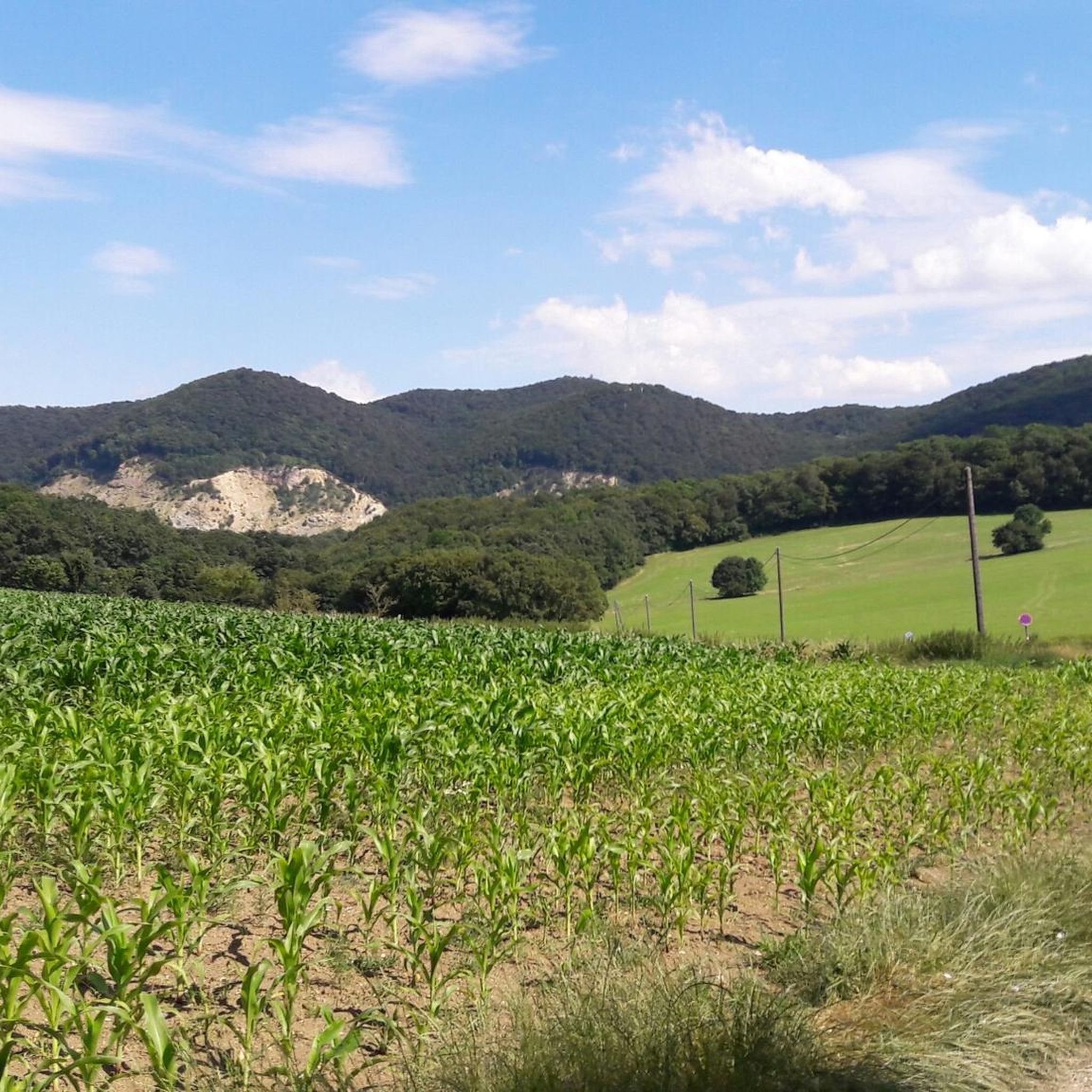
Jogging around Kaltenleutgeben offers access to diverse landscapes within the Vienna Woods and Föhrenberge Nature Park. The region is characterized by extensive forest paths and dirt roads, providing varied terrain for runners. Routes often feature well-distributed elevation changes, ranging from gentle ascents to more challenging climbs. This area provides a natural setting for running, away from urban traffic.
Best jogging routes around Kaltenleutgeben
- The most popular jogging route is Sulzer Höhe – Rebekka Spring loop from Kaltenleutgeben, a 13.4…
Last updated: October 18, 2026
5.0
(1)
52
runners
21.6km
02:43
680m
680m
Hard run. Very good fitness required. Sure-footedness, sturdy shoes and alpine experience required.
5.0
(1)
21
runners
Moderate run. Good fitness required. Mostly paved surfaces. Suitable for all skill levels.

11
runners
Hard run. Very good fitness required. Sure-footedness, sturdy shoes and alpine experience required.
13
runners
8.35km
01:00
190m
190m
Moderate run. Good fitness required. Mostly paved surfaces. Suitable for all skill levels.
6
runners
Moderate run. Good fitness required. Mostly paved surfaces. Suitable for all skill levels.
Get access to more routes and recommendations from other explorers.
Already have an account?
Our route recommendations are based on thousands of hikes, rides, and runs completed by other people on komoot.
Start today with a free account
Your next adventure awaits.
Tips from the Community

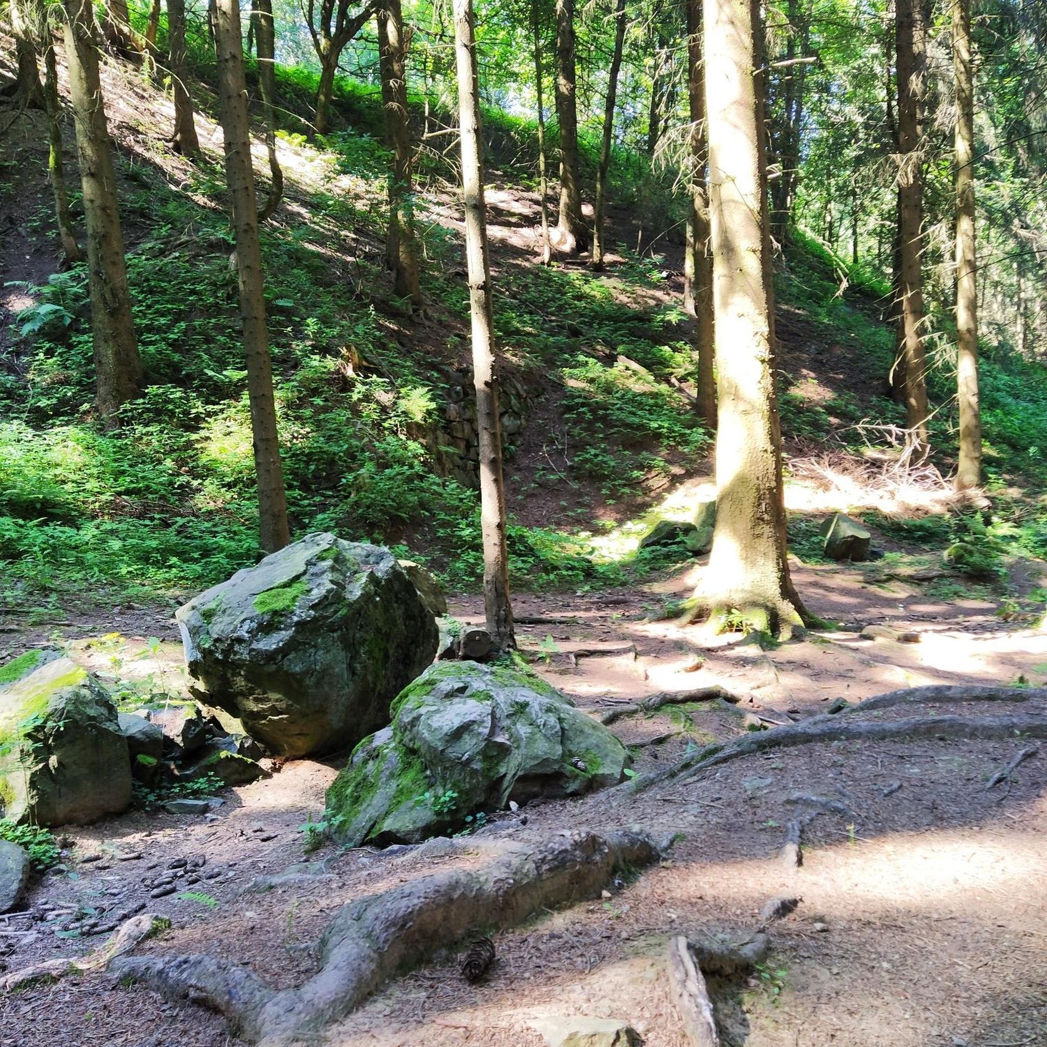
Beautiful spot, with cold drinking water, and benches. Ideal for a short break before the climb
0
0

Attention! The name of the guesthouse seems to have changed, as it is now labeled "Salzstanglwirt".
1
0

The spring was significant in the 19th century, at a time when Kaltenleutgeben was a spa town and known for its cold-water baths. The Rebekkaquelle, which originates on the right bank of the Dürre Liesing, supplied the Winternitz cold-water establishment. With the decline of spa operations in the interwar period, the spring also fell into oblivion.
0
0

The Josefswarte on the Hinterer Föhrenberg is a classic observation tower in the Vienna Woods, offering panoramic views across Vienna, the Vienna Basin, and the surrounding hills on a clear day. After climbing along forest paths, you can enjoy fresh air, a breathtaking vista, and a perfect photo opportunity. It's an ideal and rewarding highlight on hiking and running routes around Perchtoldsdorf and Kaltenleutgeben.
6
0
At the Gaisberg summit cross (599 m), you can enjoy a panoramic view over the Vienna Woods and down into the Vienna Basin. The cross marks a perfect spot for a short breather after the final ascent. Ideal for a summit photo before heading back down via trails and forest paths.
3
0
Visited again today – at the Gaisberg summit cross (599 m) you can enjoy a sweeping view over the Vienna Woods and down into the Vienna Basin. The cross marks a perfect spot for a short breather after the final climb. Ideal for a summit photo before heading back down via trails and forest paths.
3
0
The Kaltenleutgeben quarry lake lies idyllically nestled between steep rock faces and dense forest, shimmering in rich shades of green and blue on sunny days. Along the shore, you'll find lovely spots for a break with views of the water and the former quarry face. Please observe the local regulations – swimming and cycling are restricted or partially prohibited in the lake area.
4
1
Frequently Asked Questions
How many running routes are available in Kaltenleutgeben?
Kaltenleutgeben offers a good selection of running routes, with over 15 trails to explore. These routes vary in difficulty, providing options for different fitness levels within the beautiful Vienna Woods and Föhrenberge Nature Park.
What kind of terrain can I expect on the running trails in Kaltenleutgeben?
You'll primarily find well-maintained forest paths and dirt roads, offering a natural running surface away from traffic. The terrain often features well-distributed elevation changes, from gentle ascents to more challenging climbs, especially in areas like the Föhrenberge Nature Park.
Are there easy running routes suitable for beginners in Kaltenleutgeben?
Yes, there are several moderate routes that are suitable for beginners or those looking for a less strenuous run. For example, the Kneipp Water Treading Pool – Helenenquelle loop from Kaltenleutgeben is a moderate 5.2 km path with manageable elevation, perfect for an accessible run.
What are some of the more challenging running trails in the area?
For experienced runners seeking a challenge, Kaltenleutgeben offers several difficult routes. The Sulzer Höhe – Rebekka Spring loop from Kaltenleutgeben is a demanding 21.6 km trail with significant elevation gain, taking nearly 3 hours to complete. Another difficult option is the Großer Sattelberg – Gaisberg Cross (599 m) loop from Biosphärenpark Wienerwald Kernzone Hollergraben, a 14.6 km trail through varied terrain.
Are the running routes in Kaltenleutgeben dog-friendly?
Many of the forest paths and trails in the Föhrenberge Nature Park and Vienna Woods are suitable for running with dogs. It's always recommended to keep your dog on a leash, especially in nature protection areas, and to be mindful of other trail users and wildlife.
Can I find circular running routes in Kaltenleutgeben?
Absolutely! Most of the popular running routes in Kaltenleutgeben are designed as loops, allowing you to start and finish at the same point. Examples include the Doktorberg Trail – Helenenquelle loop from Biosphärenpark Wienerwald Kernzone Hollergraben and the Rebekka Spring – Kneipp Water Treading Pool loop from Kaltenleutgeben.
What interesting landmarks or viewpoints can I see along the running routes?
The routes often pass by notable natural features and offer scenic views. You might encounter landmarks like Teufelsstein, Husarentempel, or Höllenstein, which can provide rewarding panoramas. Specific viewpoints include the Josefswarte and Kammersteiner Hut or the Rudolfshöhe Lookout Tower, offering great spots to pause and enjoy the scenery.
How long do the running trails typically take to complete?
The duration varies significantly based on the route's length and difficulty. Moderate trails, like the 8.6 km Doktorberg Trail, can take around 1 hour, while more difficult and longer routes, such as the 21.6 km Sulzer Höhe loop, might require nearly 3 hours to complete.
Where can I park or access the running routes by public transport?
Convenient starting points often include areas with parking, such as the Wiener Hütte junction. Many trails are also accessible via public transport, with bus stops located near popular trailheads, making it easy to reach the starting points without a car.
What do other runners enjoy most about jogging in Kaltenleutgeben?
The running routes in Kaltenleutgeben are highly rated by the komoot community, with an average score of 5.0 stars. Runners often praise the diverse landscapes, the well-maintained forest paths, and the natural setting within the Föhrenberge Nature Park and Vienna Woods, which provides a refreshing escape from urban environments.
Are there any places to stop for refreshments or a break along the trails?
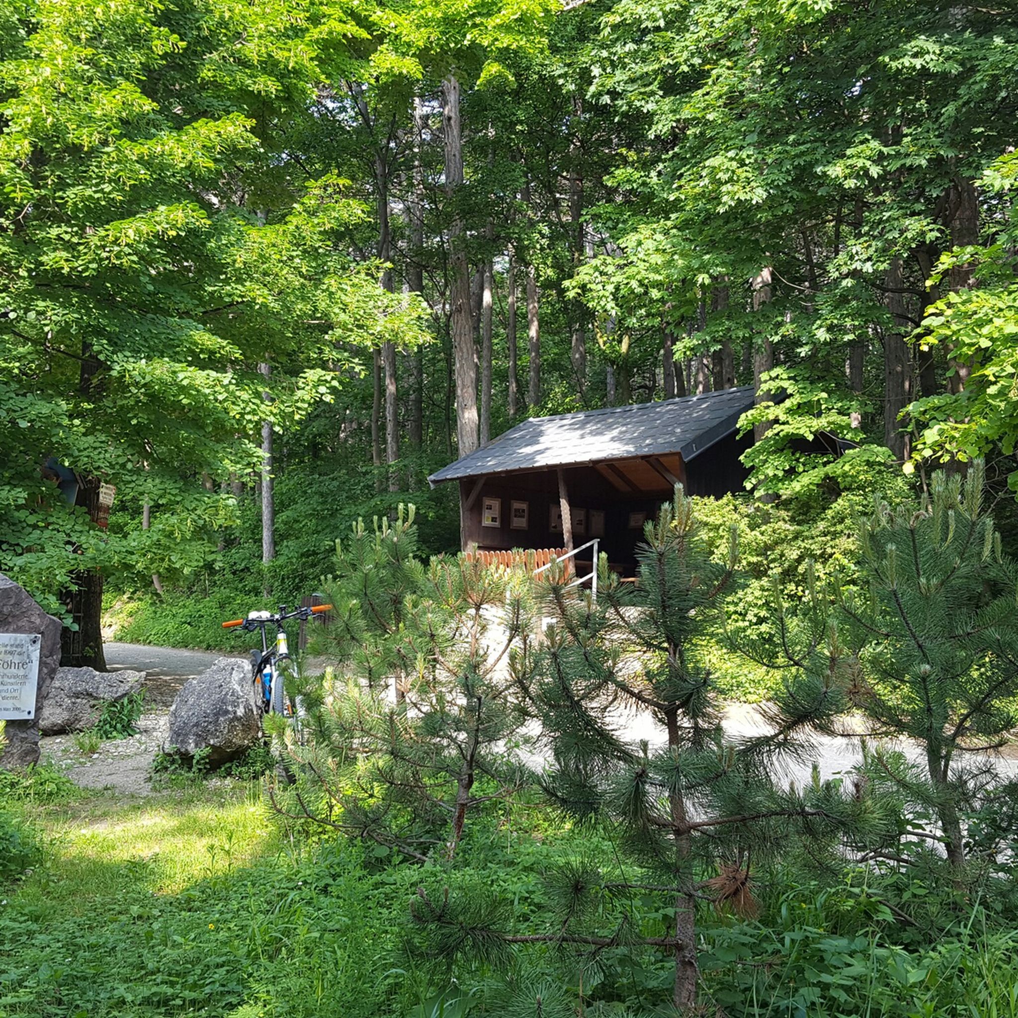
Yes, some routes pass by or are close to huts and rest areas where you can take a break and grab refreshments. Notable spots include the Anninger Hut, Franz Ferdinand Hut, or the Breite Föhre Rest Area, offering convenient stops during your run.
Are there specific considerations for running in Kaltenleutgeben during winter?
While the region is beautiful year-round, winter running may require appropriate gear due to snow or ice on trails. The well-maintained forest roads can still be accessible, but it's advisable to check local conditions and wear suitable footwear for traction. The diverse terrain means some paths might be more challenging in snowy conditions.
Is Kaltenleutgeben suitable for family-friendly running or walks?
Yes, the region offers routes with varying difficulties, making it possible to find paths suitable for families. While some trails have significant elevation, there are easier forest paths that can be enjoyed by families looking for a gentle run or a scenic walk together. Look for moderate routes with less elevation for a more family-friendly experience.
Most popular routes around Kaltenleutgeben
Most popular attractions around Kaltenleutgeben

Get inspired with the komoot mobile app


Explore more
Browse the best Running Trails & Routes in other regions.
