The best mountain hikes around Kaltenleutgeben
5.0
(1)
70
hikers
14
hikes
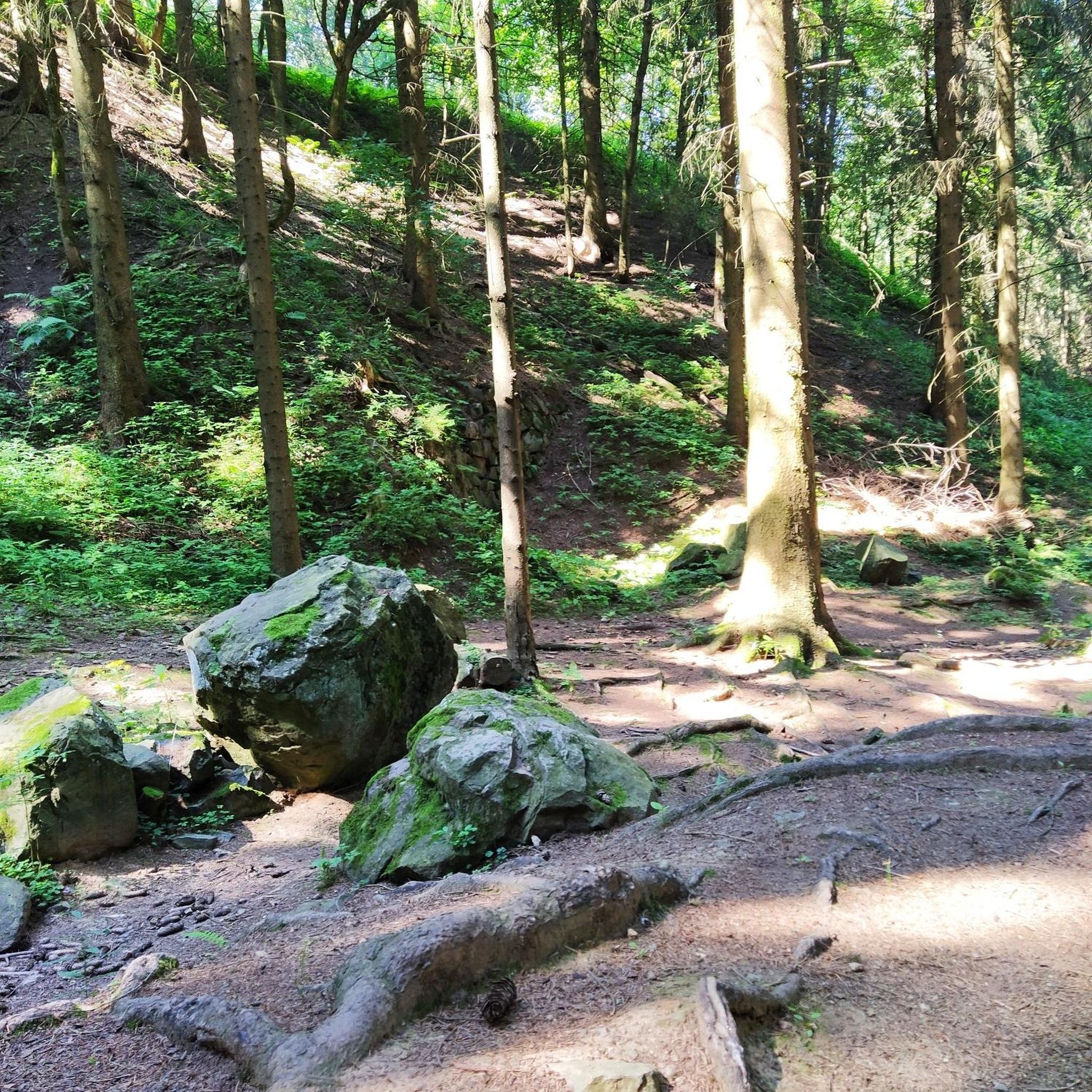
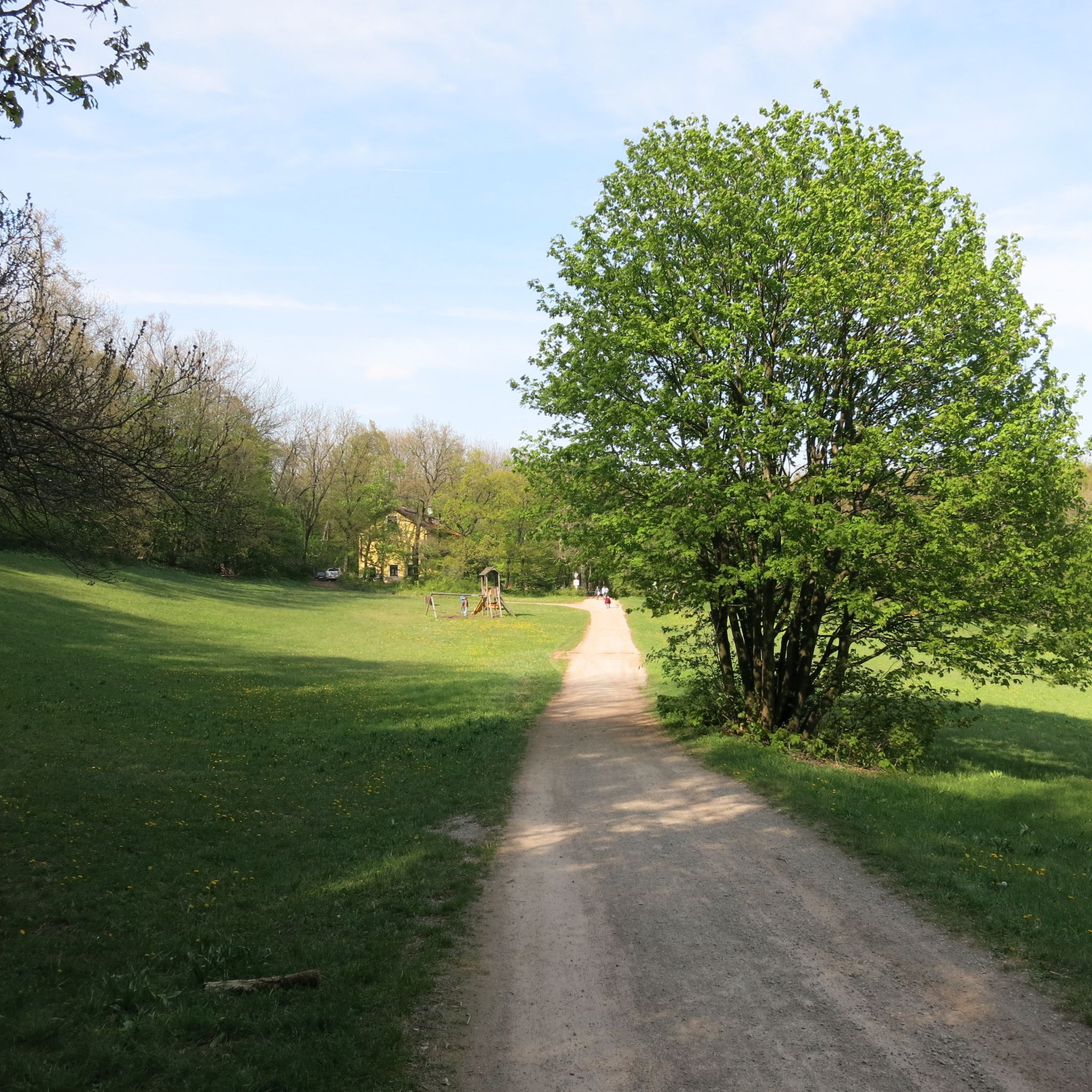
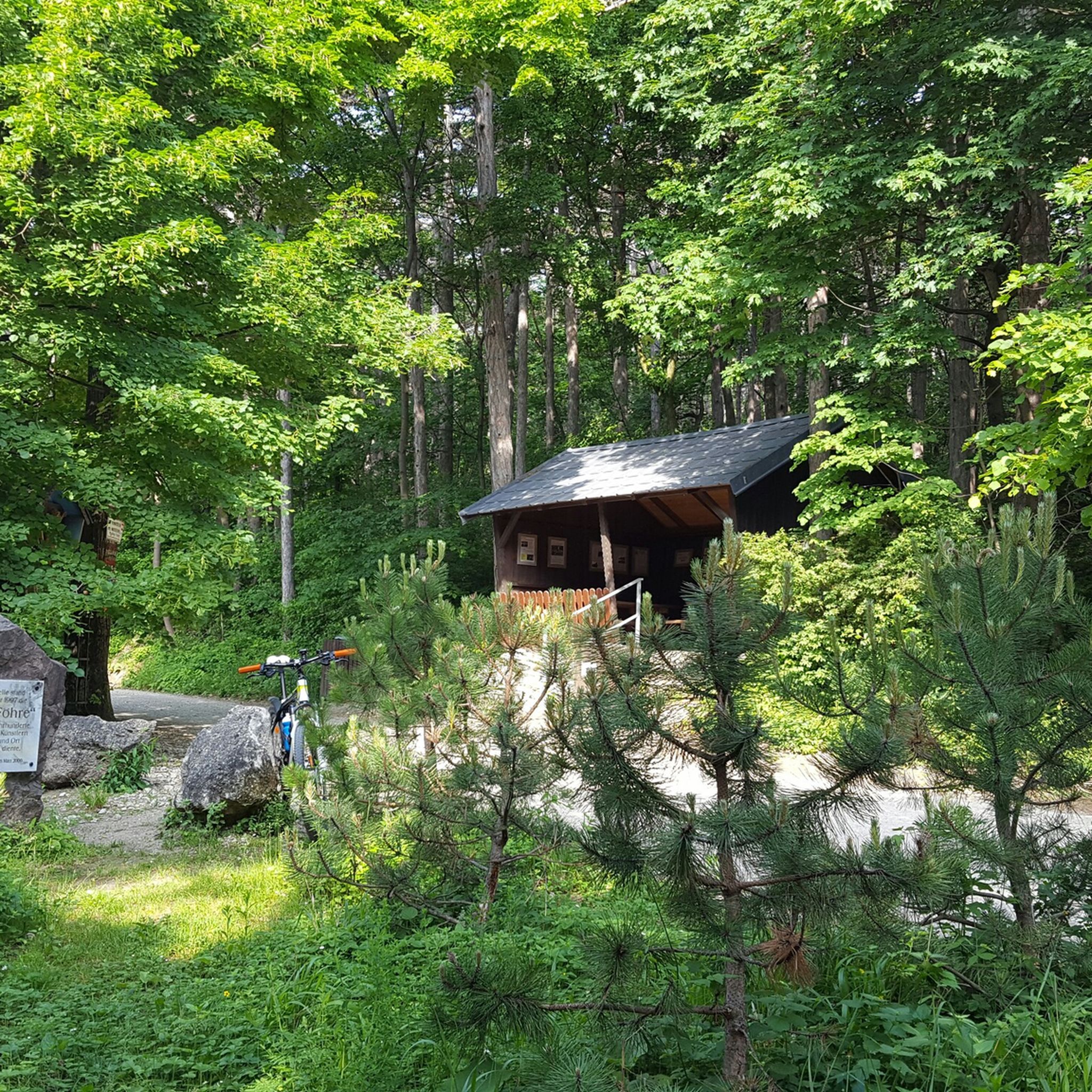
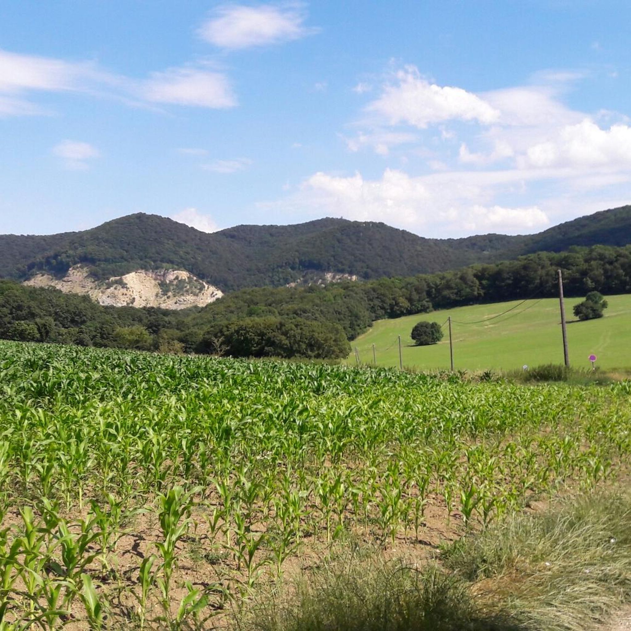
Mountaineering routes around Kaltenleutgeben are situated southwest of Vienna, within the narrow, wooded valley of the Liesingbach stream. The region is characterized by its location within the Vienna Woods and the Föhrenberge Nature Park, featuring extensive pine and beech forests and gentle hills. Terrain varies from easily accessible paths to more demanding routes requiring good physical condition and sure-footedness.
Best mountaineering routes around Kaltenleutgeben
- The most popular mountaineering route is Mödlinger Via Ferrata loop from Mödling, a 1.2 miles…
Last updated: July 1, 2026
20
hikers
1.94km
00:43
90m
90m
Hard mountaineering route. Great for any fitness level. Sure-footedness, sturdy shoes and alpine experience required.
12
hikers
Hard mountaineering route. Good fitness required. Sure-footedness, sturdy shoes and alpine experience required.

Sign up for free
11
hikers
3.64km
01:11
110m
110m
Hard mountaineering route. Great for any fitness level. Sure-footedness, sturdy shoes and alpine experience required.
3
hikers
13.4km
03:49
300m
300m
Moderate mountaineering route. Good fitness required. Easily-accessible paths. Suitable for all skill levels.
3
hikers
Moderate mountaineering route. Good fitness required. Easily-accessible paths. Suitable for all skill levels.
Get access to more routes and recommendations from other explorers.
Sign up for free
Already have an account?
Our route recommendations are based on thousands of hikes, rides, and runs completed by other people on komoot.
Start today with a free account
Your next adventure awaits.
Login or Signup
Tips from the Community

The church is uniquely beautiful and looks so great in photos. The church square is just as beautiful.
1
0
Beethoven was taken with the romantic, varied landscape around Mödling
0
0
Empress Elisabeth often spent her summer holidays in Rodaun, Hugo von Hofmannsthal wrote his plays here in the forest in a summer house and here was the famous Kurbad Stelzer spa, the Romans already came here for cures.
1
0
Unfortunately, we found that the portions are now extremely small and the prices in relation to them, extremely high, even excessive...
1
0

don't hesitate too long, just go up the slope
0
0
this is a very beautiful place
0
0

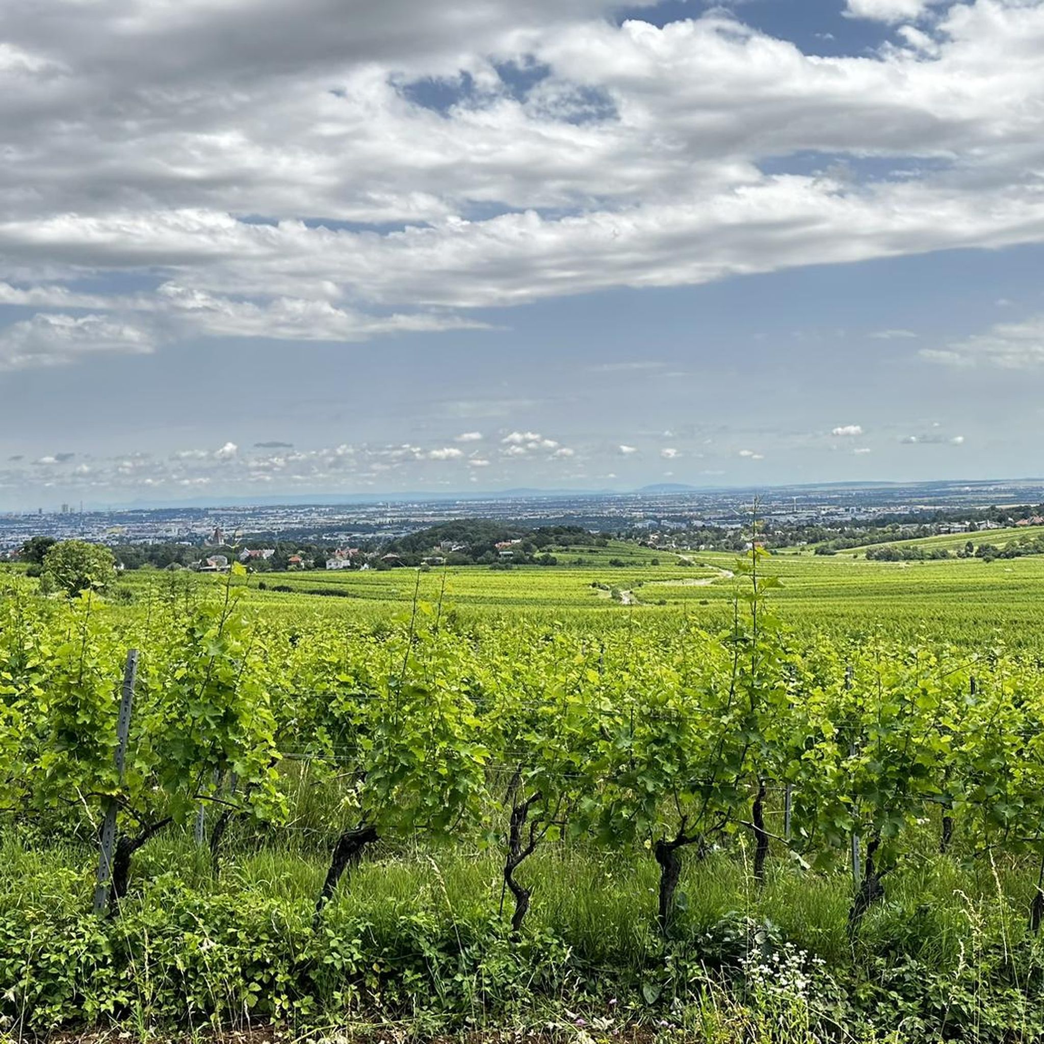
Here you get a very beautiful view in the direction of Vienna.
0
0

A rewarding climb with a short, secured steep ascent over a rocky step.
0
0
Frequently Asked Questions
How many mountaineering routes are available around Kaltenleutgeben?
There are over 15 mountaineering routes around Kaltenleutgeben listed on komoot, offering a diverse range of experiences within the Vienna Woods and Föhrenberge Nature Park. These routes cater to various skill levels, from easy paths to more demanding ascents.
What makes mountaineering around Kaltenleutgeben unique?
Mountaineering in Kaltenleutgeben is unique due to its location within the picturesque Vienna Woods and the Föhrenberge Nature Park. You'll find extensive pine and beech forests, gentle hills, and varied terrain, ranging from easily accessible paths to routes requiring good physical condition. The area also offers scenic viewpoints and mountain huts, providing a blend of natural beauty and recreational opportunities.
What do other mountaineers say about the routes in Kaltenleutgeben?
The mountaineering routes around Kaltenleutgeben are highly regarded by the komoot community, with an average score of 5.0 stars from over 1 review. More than 70 mountaineers have already explored the varied terrain, often praising the diverse landscapes and well-maintained trails.
Are there mountaineering routes suitable for beginners in Kaltenleutgeben?
Yes, Kaltenleutgeben offers several routes suitable for beginners. There are 2 easy mountaineering routes available, providing accessible paths for those new to the sport or looking for a more relaxed experience. These trails are generally less demanding and perfect for enjoying the natural surroundings.
Where can I find more challenging mountaineering routes near Kaltenleutgeben?
For those seeking a challenge, Kaltenleutgeben has 4 difficult mountaineering routes. One such demanding option is the Sina Warte Observation Tower – Eisernes Tor – Hoher Lindkogel loop from Bezirk Baden, which spans 7.3 miles (11.7 km) and offers significant elevation changes and panoramic views of the Vienna Basin and the foothills of the Alps.
Are there any circular mountaineering routes in the area?
Yes, many mountaineering routes around Kaltenleutgeben are designed as loops, allowing you to start and end at the same point. For example, the Parking Lot – Höllensteinhaus loop from Bezirk Mödling is a moderate 6.2-mile (9.9 km) circular route that takes you to the Höllensteinhaus, a popular resting point with a viewing platform.
What are some notable viewpoints or landmarks along the mountaineering routes?
The region boasts several impressive viewpoints and landmarks. You can enjoy panoramic views from the Sina Warte Observation Tower, which is part of the Sina Warte Observation Tower highlight. The Husar Temple in Mödling, accessible via the Husar Temple highlight, also offers expansive views over the Vienna Basin. Additionally, the Höllensteinhaus features a viewing platform, and on clear days, you might even catch magnificent views of Schneeberg from the Schöffel mountain rescue hut.
Are there any mountain huts or places to rest along the trails?
Yes, several mountain huts serve as excellent resting points and attractions along the trails. Notable ones include the Franz Ferdinand Hut, the Schöffel mountain rescue hut, and the Höllensteinhaus. These huts often provide opportunities for refreshments and a break during your mountaineering adventure.
Can I find routes that pass by lakes or water features?
Yes, the region around Kaltenleutgeben features picturesque water bodies. An easy hiking loop includes the Flössl Quarry Pond, and natural springs like the Helenenquelle are also encountered along some trails. You can explore highlights like the Kaltenleutgeben Quarry Lake or the Forest Pond with Viewing Platform for routes incorporating water features.
What is the best time of year for mountaineering in Kaltenleutgeben?
Kaltenleutgeben offers mountaineering opportunities year-round. During warmer months, the extensive network of trails through pine and beech forests is ideal. In winter, the area transforms, providing options for winter hiking and snowshoeing, with a three-kilometer-long cross-country ski trail also available.
Are there any historical sites to explore on the mountaineering routes?
Yes, some routes combine natural beauty with historical interest. For instance, the Mödlinger Via Ferrata – Ruins of Mödling Castle loop from Mödling is a 2.2-mile (3.6 km) trail that leads through historical sites like the Ruins of Mödling Castle, offering a glimpse into the past while you hike.
Are there any routes that offer a via ferrata experience?
Yes, for those looking for a via ferrata experience, the Mödlinger Via Ferrata loop from Mödling is a challenging 1.2-mile (1.9 km) trail that provides this unique mountaineering adventure.
Most popular routes around Kaltenleutgeben
Most popular attractions around Kaltenleutgeben

Get inspired with the komoot mobile app


Explore more
Browse the best Mountain Hikes & Routes in other regions.
