Top 5 Mountain Passes around Pfalzgrafenweiler
Best mountain passes around Pfalzgrafenweiler are found within the Northern Black Forest, a region situated on a high plateau between 600 and 750 meters above sea level. This area features extensive forests and mountainous landscapes, providing numerous elevated hiking trails and varied terrain. The topography offers experiences akin to traditional mountain passes, with diverse routes for outdoor activities. Pfalzgrafenweiler is known for its natural beauty and opportunities for both hiking and cycling.
Best mountain passes around Pfalzgrafenweiler
- The most popular mountain passes is Massholder Pass summit, a mountain pass and viewpoint. It is noted as one of the highest mountain passes in Germany and is accessible for many.
- Another must-see spot is Besenfelder Steige, a challenging climb and mountain pass. This route requires significant effort when ascending but offers a fast descent.
- Visitors also love Freudenstadt–Kniebis Road, an intermediate mountain pass and cycle way. This wide road with good asphalt provides an enjoyable route for cycling.
- Pfalzgrafenweiler is known for its climbs, viewpoints, and cycle routes. The region offers a variety of mountain passes to see and explore, catering to different activity levels.
- The mountain passes around Pfalzgrafenweiler are appreciated by the komoot community, with 48 upvotes and 7 photos contributed by users.
Last updated: July 7, 2026
Besenfelder Steige
Highlight (Segment) • Climb
Translated by Google •
Tip by

Zweifelt Pass route from Zwickgabel to Tonbach
Highlight (Segment) • Mountain Pass
Translated by Google •
Tip by

Sign up now to discover places like this
Get recommendations on the best single tracks, peaks, & plenty of other exciting outdoor places.
Sign up for free
Freudenstadt–Kniebis Road
Highlight (Segment) • Mountain Pass
Translated by Google •
Tip by

Reichenbachstraße: Bad Rippoldsau to Zwieselberg
Highlight (Segment) • Mountain Pass
As a small motivation boost, the small L404 signs help, because they also indicate the kilometers from the Bad Rippoldsau church. And so you can easily see that when you reach the first hairpin, you have already covered more than two kilometers, i.e. a good third.
Translated by Google •
Tip by

Massholder Pass summit
Highlight • Mountain Pass
Translated by Google •
Tip by
Start today with a free account
Your next adventure awaits.
Login or Signup
Popular around Pfalzgrafenweiler
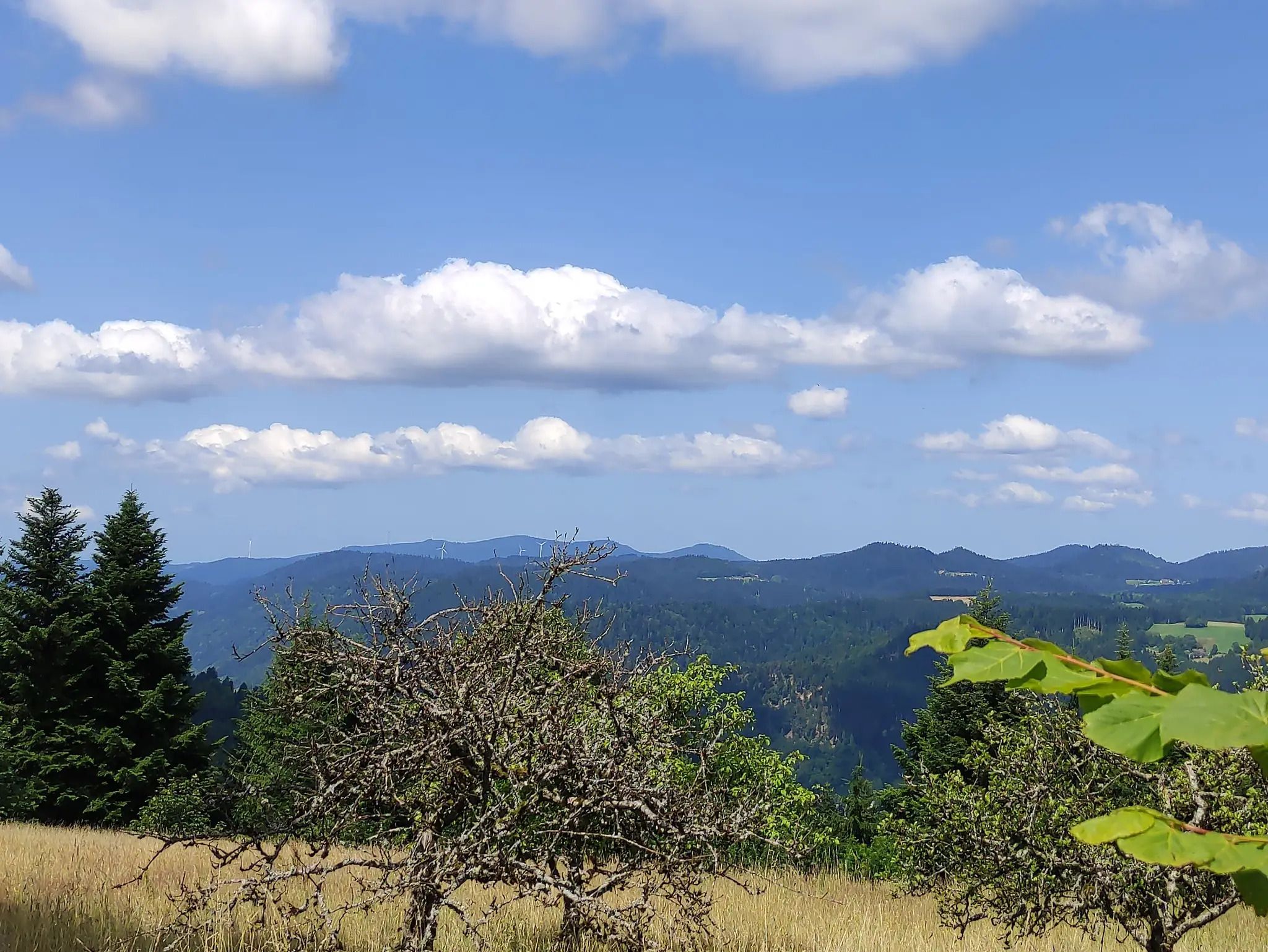
The Eastern Path of the Black Forest Association
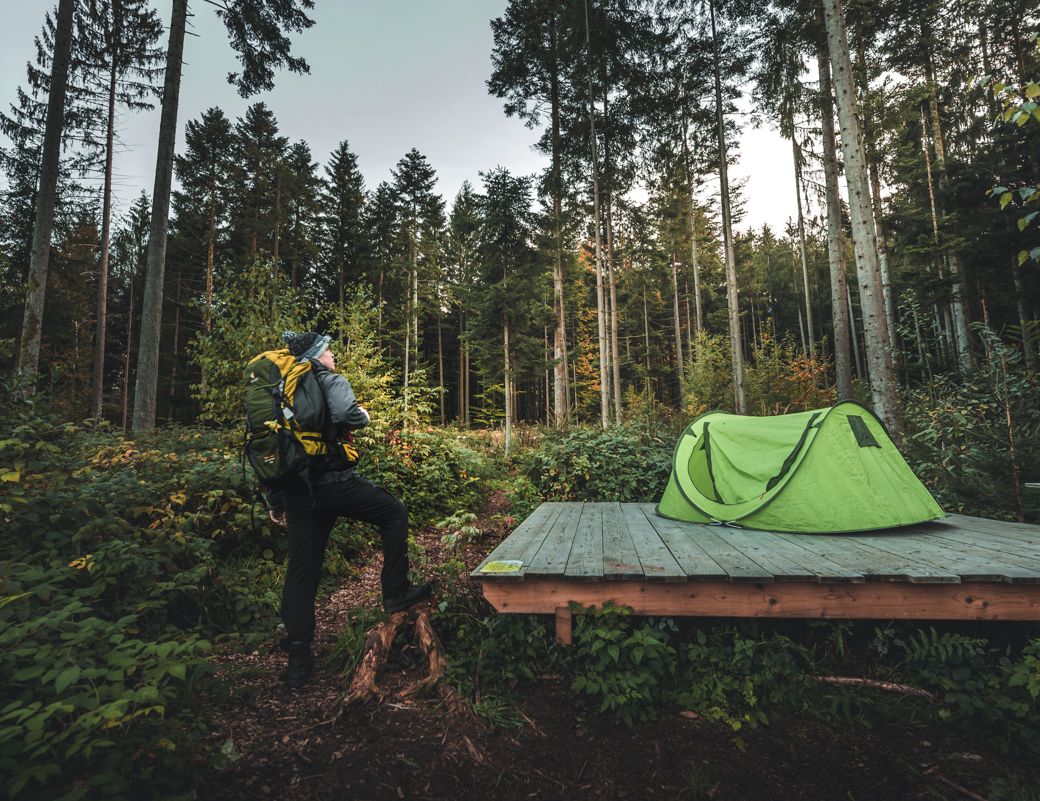
Special overnight stays and trekking camps in the Black Forest
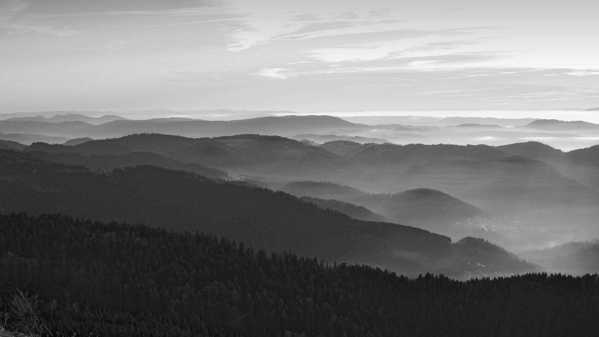
Let yourself be enchanted — hiking in the mystical Black Forest
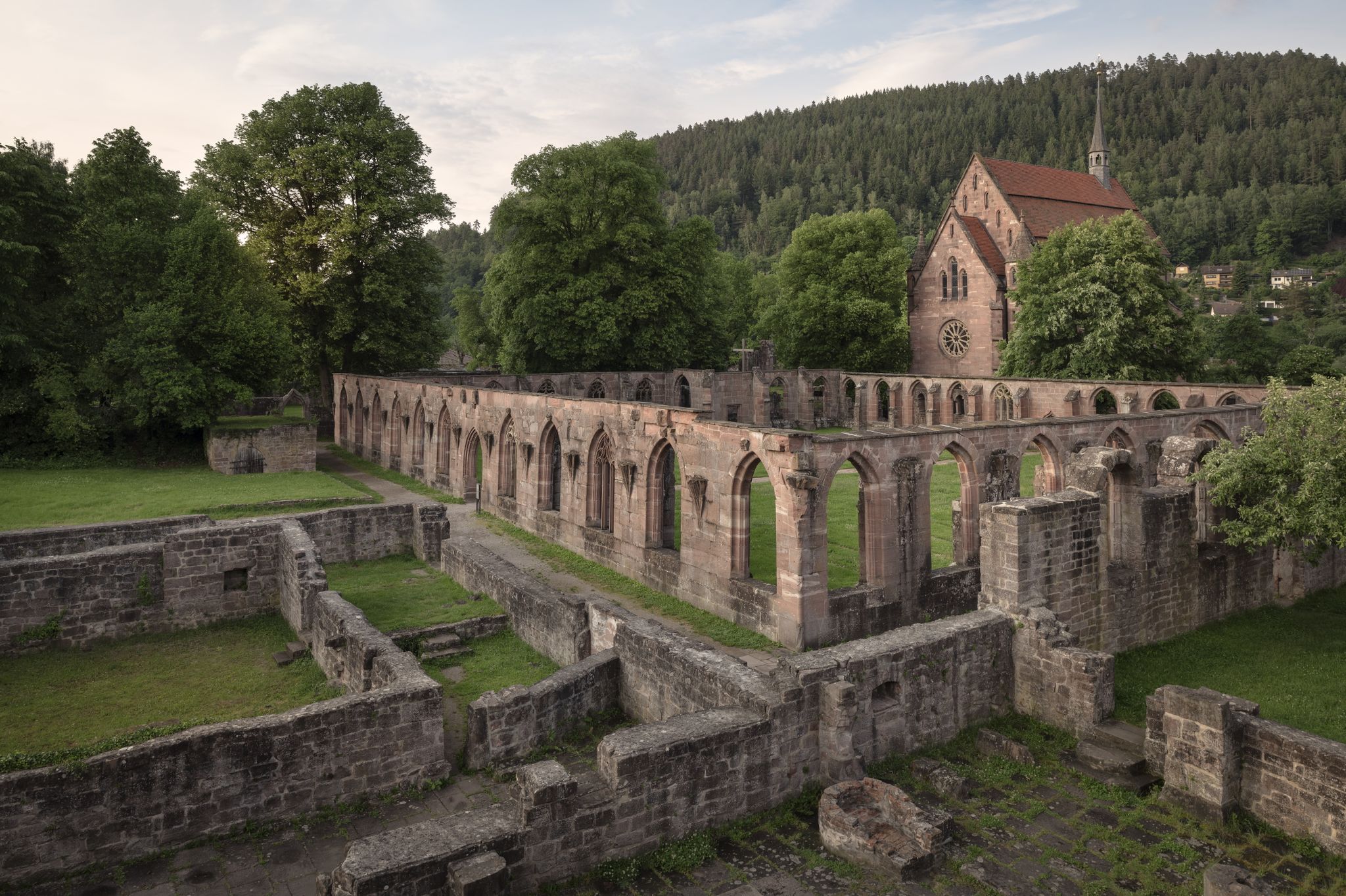
Cycling the Monastery Route in the Northern Black Forest
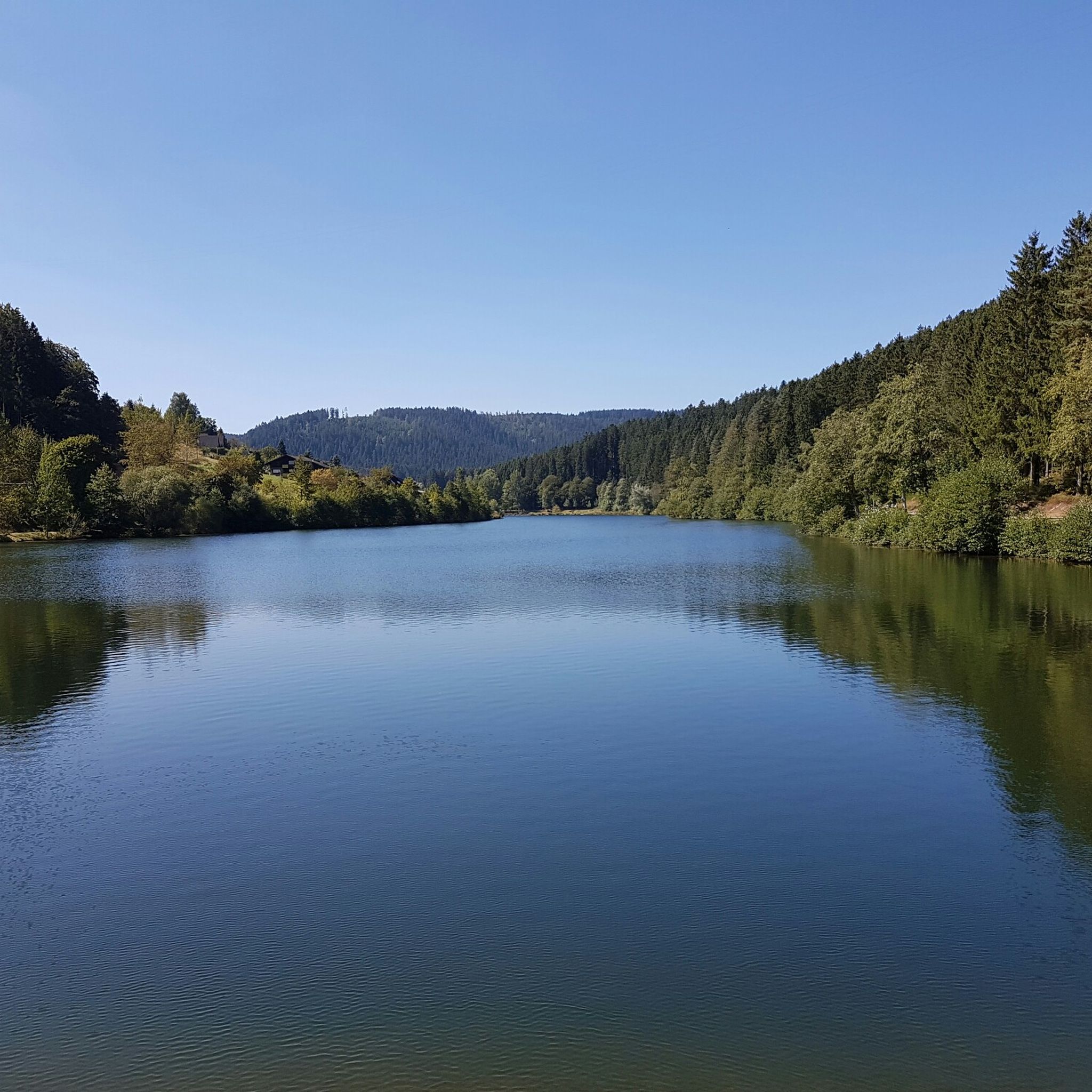
Hiking around Pfalzgrafenweiler
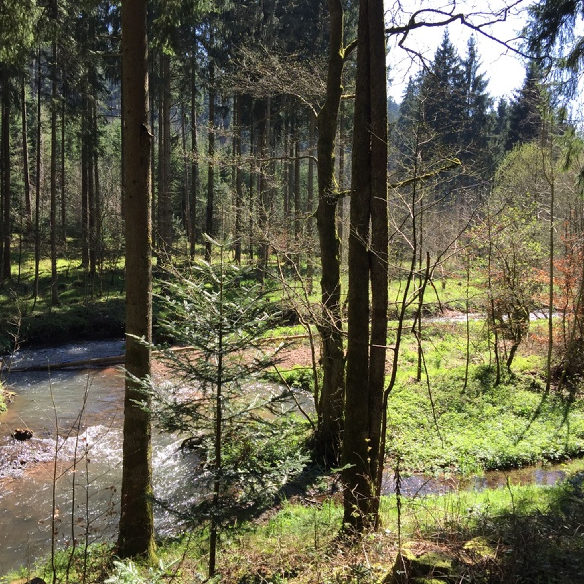
MTB Trails around Pfalzgrafenweiler
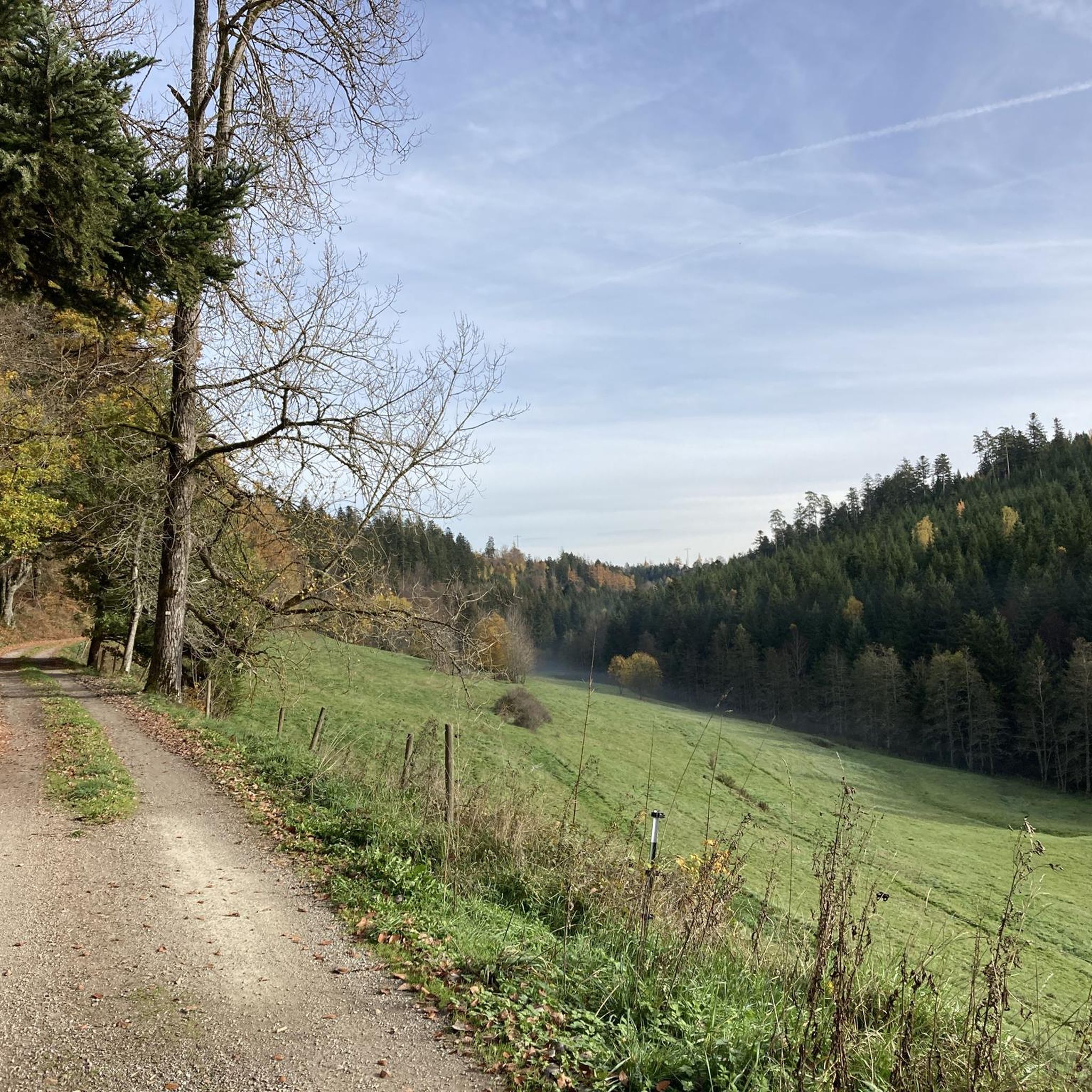
Cycling around Pfalzgrafenweiler
Road Cycling Routes around Pfalzgrafenweiler
Running Trails around Pfalzgrafenweiler

Gravel biking around Pfalzgrafenweiler
Other adventures around Pfalzgrafenweiler


Tips from the Community

NOT recommended on the ascent, as many drivers give full throttle here. There are forest road alternatives through the forest, e.g. from Schwarzenberg. Naturally cool on the descent.
0
0

The Besenfelder Steige is an extremely challenging descent. When you're hurtling down into the Murg Valley at 70-80 km/h, you need a high level of concentration and bike control. The surface damage, combined with the steep gradient and the curves, is incredibly demanding. Plus, you're exposed to the wind. I ride down it quite often, but I still have to mentally prepare myself for the stress beforehand. Uphill? Absolutely not. There are far too many trucks on the road, and overtaking is extremely difficult due to the poor visibility around the curves. Unfortunately, not everyone has the patience for it. With a regular bike, I would definitely recommend sticking to gravel. With a road bike, you can either go via Heselbach to Igelsberg (a short gravel section) or via Klosterreichenbach.
0
0
I'd recommend it more as a climb. While you do have to pedal quite a bit, the gradient is nice and moderate, and the traffic remains manageable. You should be more careful on the descent, as there are some nasty road defects, especially in the curves.
1
0
The surface is impeccable on the Tonbach side – which unfortunately ends abruptly at the Überzwerchberg Hut. From there, the trail to Zwickgabel leads over gravel: medium-coarse and somewhat loose. With a little caution, it's the ideal playground for a gravel bike; however, you should think twice about it with a road bike. The gravel section from Zwickgabel is definitely more recommendable uphill than downhill. After the hard work, you'll be rewarded with the descent to Tonbach on a perfect surface. You shouldn't just blast down the narrow, somewhat confusing forest road without guardrails – but 50+ km/h is perfectly acceptable as long as no one is coming the other way.
0
0
I agree with Albrecht. Downhill, from about the bus stop to the first bend, it's briefly two-lane, but then it's no longer there. Despite the poor visibility, overtaking is impossible here, so the climb can sometimes be stressful even by car. The numerous trucks during the week are replaced by amateur racers on weekends and holidays. The descent is sometimes challenging, extremely fast, and not the best surface. Especially on the tight hairpin bend, you can't brake too hard and you have to stay fully focused. After that, it's a steep descent.
0
0

Despite the gravel in places, the ascent from Zwickgabel is definitely doable in dry conditions with 25 or 28 inch tires, and is definitely worth it because of the beautiful descent to Tonbach.
3
0

Busy road, even with heavy goods traffic, therefore only recommended as a descent.
2
0

No thank you. There's really too much traffic here. cars, trucks and mopeds. The Stresse is wide, but very busy.
2
0
Frequently Asked Questions
What kind of views can I expect from the mountain passes around Pfalzgrafenweiler?
The region offers expansive views over picturesque landscapes, including the Neckar valley and the Swabian Alb. Many routes provide broad vistas reminiscent of traditional mountain pass views. For example, the Massholder Pass summit is a notable viewpoint, and the Zweifelt Pass route from Zwickgabel to Tonbach also features scenic viewpoints through forests.
Are there challenging mountain passes for experienced cyclists or hikers?
Yes, for those seeking a challenge, the Besenfelder Steige is a demanding climb that requires significant effort when ascending but rewards with a very fast descent. It's noted for being a tough climb with few resting spots, making it suitable for experienced individuals.
What are the best options for cycling on the mountain passes?
Cyclists will enjoy the Freudenstadt–Kniebis Road, an intermediate cycle way known for its wide road and excellent asphalt, providing an enjoyable route. Additionally, the Tonbach side of the Zweifelt Pass route from Zwickgabel to Tonbach has been redesigned and is closed to motorized traffic, making it an excellent option for road cyclists through the Black Forest National Park.
What other cycling routes are available near Pfalzgrafenweiler's mountain passes?
Beyond the specific passes, Pfalzgrafenweiler offers diverse cycling opportunities. You can explore routes like the 'Erzgrube Lake – Erzgrube Covered Bridge loop' for touring bicycles, or the 'Nagold City Park – Zinsbach Valley Road loop' for road cycling. For gravel biking, consider the 'Bösingen Water House – Waldach Cycle Path loop'. You can find more details on these and other routes in the Cycling around Pfalzgrafenweiler, Road Cycling Routes around Pfalzgrafenweiler, and Gravel biking around Pfalzgrafenweiler guides.
Are there any family-friendly hiking options that offer a 'mountain pass' experience?
While traditional high-altitude passes are not the focus, the region offers numerous elevated trails suitable for families. The Panoramaweg, a 12-kilometer circular trail, provides picturesque landscapes and expansive views, suitable for various fitness levels. The Naturpark-Wildsee-Steig, circling the idyllic Wildsee lake, is another scenic journey through diverse flora and fauna that families can enjoy.
What natural attractions can I discover along these routes?
You can experience a variety of natural spectacles. The Wasserfallsteig is an adventurous trail following several waterfalls and streams. The Naturpark-Wildsee-Steig allows visitors to experience diverse flora and fauna, especially vibrant in spring. Additionally, the Hohe Tannen Nature Reserve near Kälberbronn is famous for its ancient and tall trees, some exceeding 50 meters in height, offering a unique natural environment.
What is the best time of year to visit the mountain passes around Pfalzgrafenweiler?
The region is beautiful throughout the warmer months, with spring offering vibrant flora, especially around the Wildsee lake. Summer provides ideal conditions for hiking and cycling. Autumn brings stunning foliage. While winter hiking is possible, be prepared for colder conditions and potentially snow, which can transform the landscape.
Are there any historical or cultural sites to explore near the mountain passes?
Yes, the region blends natural beauty with historical interest. A hike along the Waldach can lead you to the Mandelberg Castle Ruins. Additionally, trails through the Zinsbach valley reveal a cultural landscape with old mills and meadows, offering glimpses into the area's past.
What should I know about road conditions on these mountain passes?
Road conditions vary. The Freudenstadt–Kniebis Road is known for its good asphalt and wide surface. However, the Zweifelt Pass route from Zwickgabel to Tonbach has a gravel path on the Zwickgabel side, which is not recommended for racing bikes, while the Tonbach side has a newly redesigned road. Some routes, like the Besenfelder Steige, can be busy with traffic, including heavy goods vehicles and motorcyclists, especially on weekends.
Are there any 'hidden gems' or less-known routes that offer a unique experience?
Exploring the Bömbach and Zinsbach Valleys offers a more intimate experience. Routes through the romantic Bömbach valley can lead to the protected landscape area Egenhauser Kapf, which boasts magnificent panoramic views. These valley routes, with their ascending and descending paths, provide a hiking experience akin to traversing a mountain pass away from the more frequented spots.
What do visitors particularly enjoy about the mountain passes and trails in Pfalzgrafenweiler?
Visitors appreciate the diverse terrain and the sense of accomplishment, especially on challenging climbs like the Besenfelder Steige. The fast descents are often highlighted as very fun. The wide roads with good asphalt, such as the Freudenstadt–Kniebis Road, are popular among cyclists. The panoramic views and the unique natural environment, like the ancient trees in the Hohe Tannen Nature Reserve, are also frequently praised.
Most popular routes around Pfalzgrafenweiler
Most popular attractions around Pfalzgrafenweiler

Get inspired with the komoot mobile app


Explore more
See even more epic mountain passes by checking out these guides around Pfalzgrafenweiler:
