The best gravel rides around Pfalzgrafenweiler
4.5
(303)
1,585
riders
119
rides
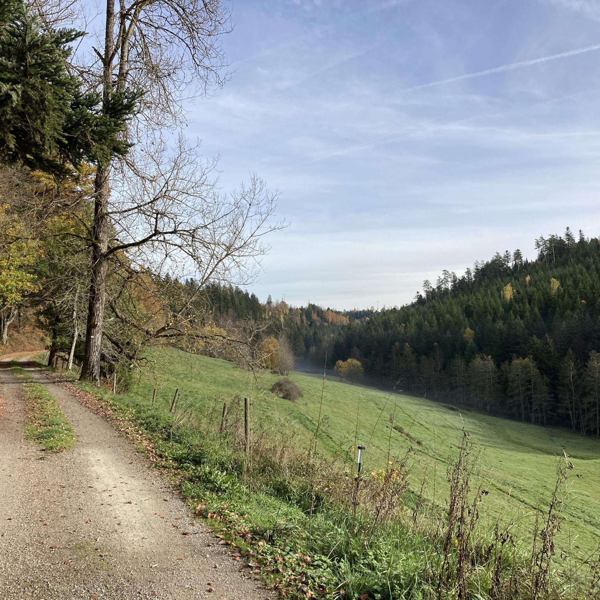
Gravel biking around Pfalzgrafenweiler offers diverse terrain within the northern Black Forest. The region is characterized by a high plateau, extensive forests such as the Weiler Wald, and scenic valleys like the Zinsbachtal and Waldachtal. Gravel bike trails navigate through these varied landscapes, providing routes across forested areas, open meadows, and along river valleys. The elevation changes are typical of the Black Forest foothills, offering both challenging climbs and flowing sections.
Best gravel bike trails around Pfalzgrafenweiler
- The most popular…
Last updated: October 19, 2026
4.7
(10)
39
riders
37.5km
02:07
450m
450m
Hard gravel ride. Very good fitness required. Mostly paved surfaces. Suitable for all skill levels.
4.0
(1)
13
riders
49.0km
03:27
680m
680m
Hard gravel ride. Very good fitness required. Mostly paved surfaces. Suitable for all skill levels.

3.0
(1)
6
riders
25.4km
01:41
410m
410m
Moderate gravel ride. Good fitness required. Mostly paved surfaces. Suitable for all skill levels.
5.0
(2)
11
riders
36.3km
02:18
540m
540m
Hard gravel ride. Very good fitness required. Mostly paved surfaces. Suitable for all skill levels.
5.0
(1)
4
riders
18.3km
01:23
330m
330m
Moderate gravel ride. Good fitness required. Mostly paved surfaces. Suitable for all skill levels.
Get access to more routes and recommendations from other explorers.
Already have an account?
Our route recommendations are based on thousands of hikes, rides, and runs completed by other people on komoot.
Start today with a free account
Your next adventure awaits.
Popular around Pfalzgrafenweiler
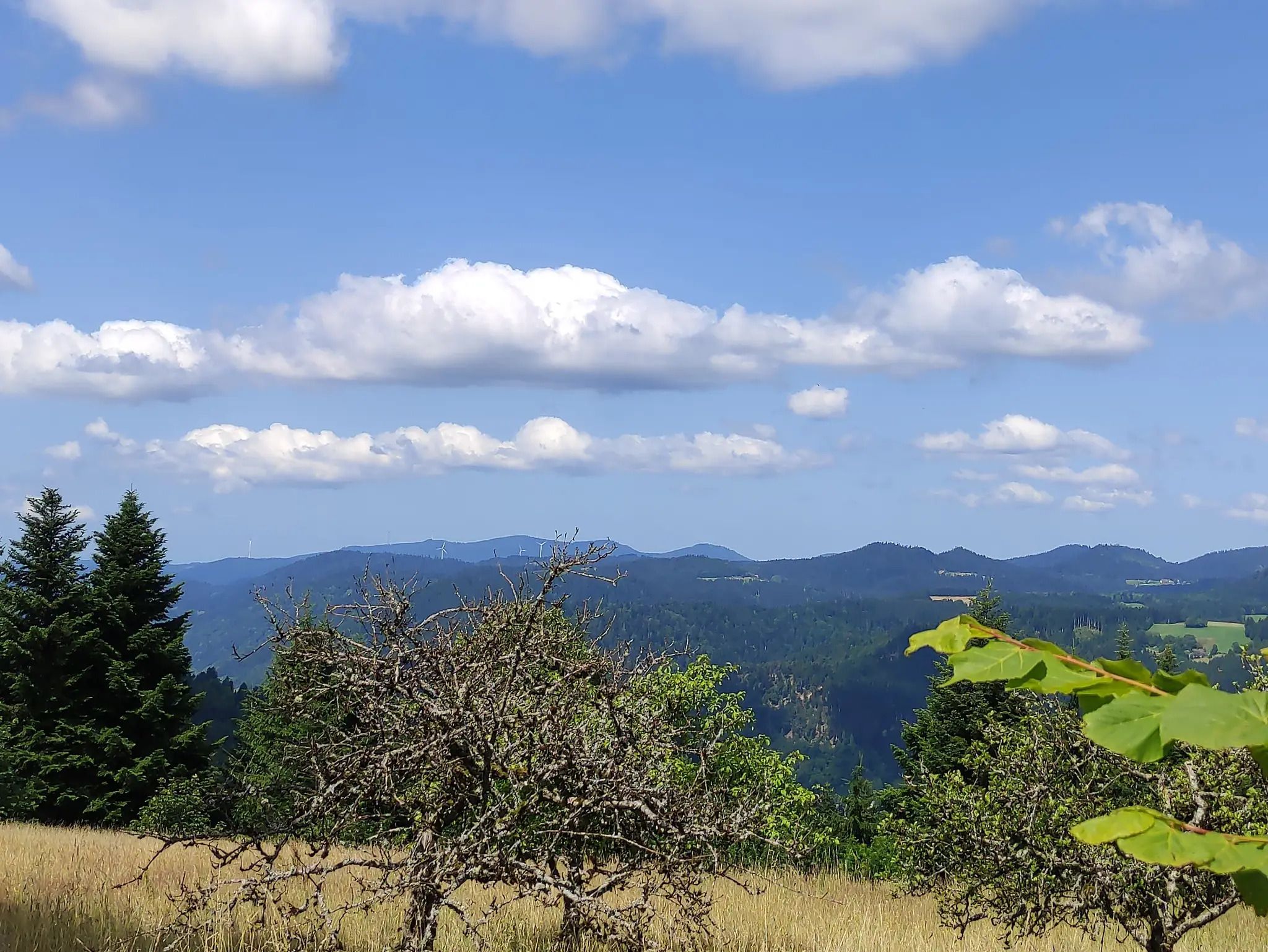
The Eastern Path of the Black Forest Association
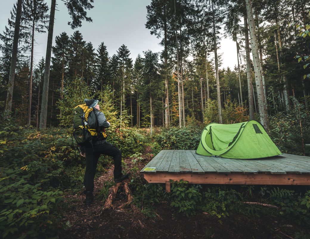
Special overnight stays and trekking camps in the Black Forest
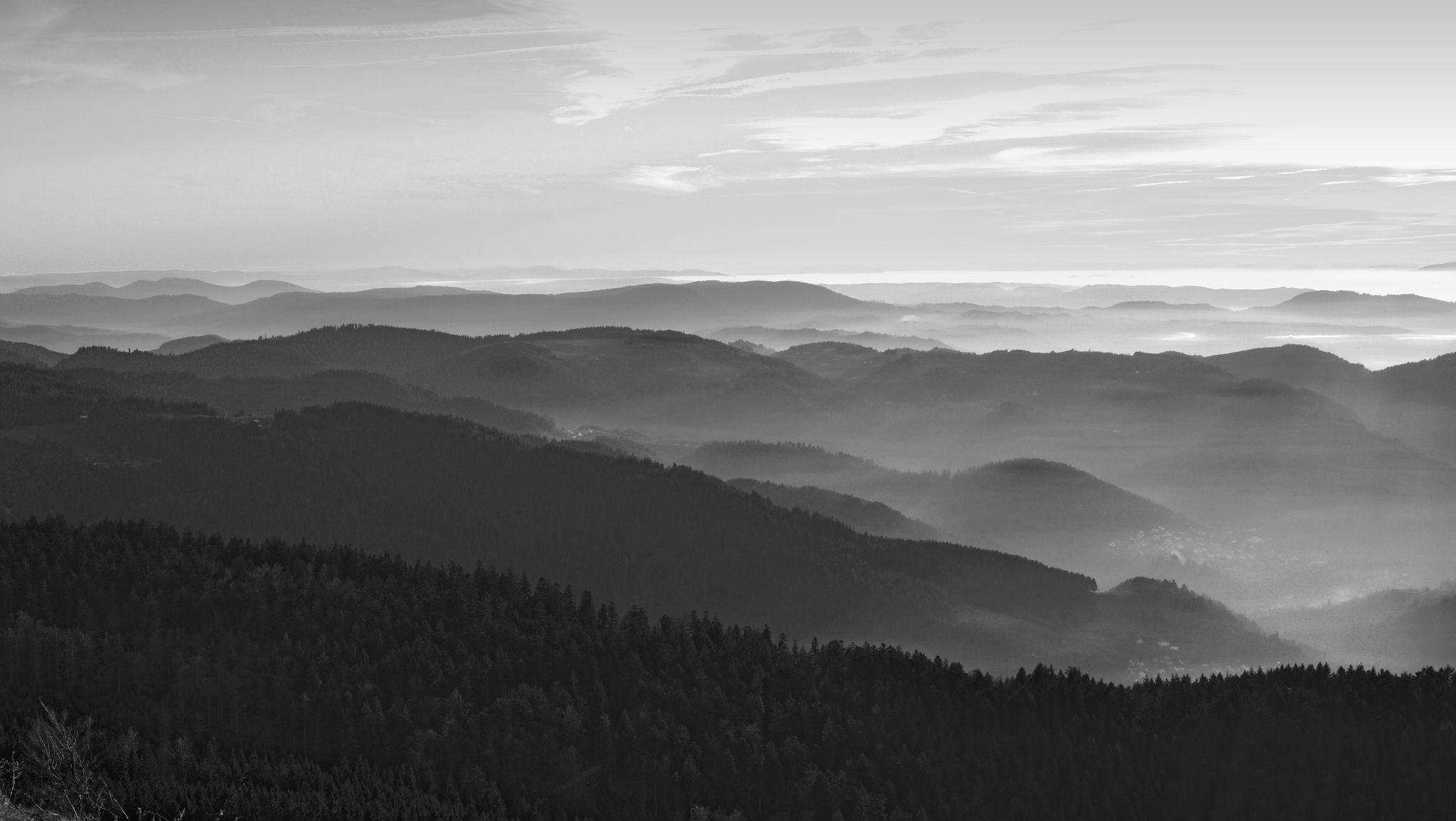
Let yourself be enchanted — hiking in the mystical Black Forest
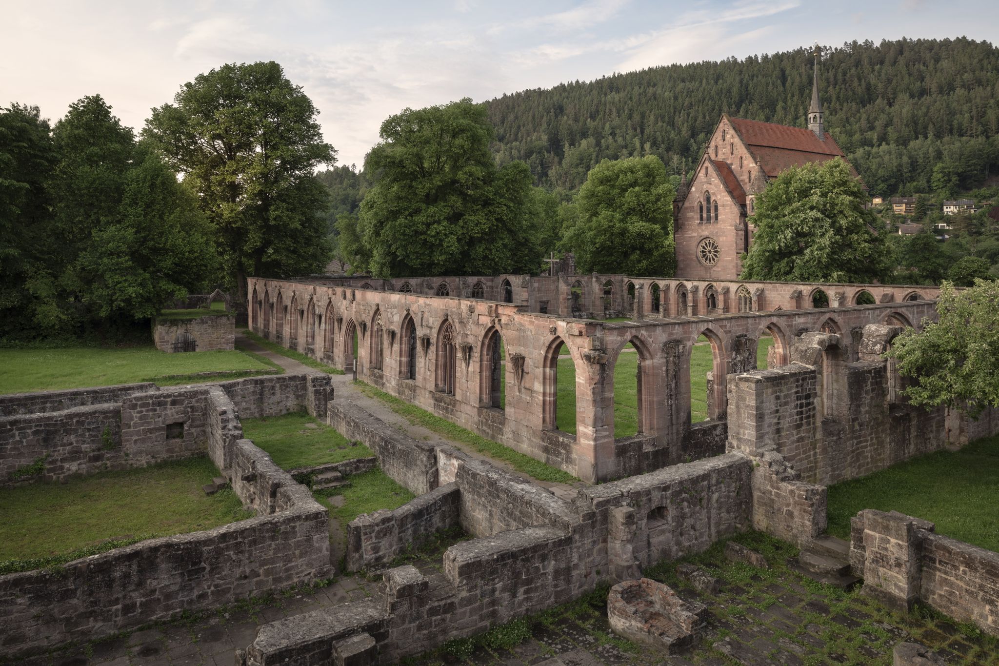
Cycling the Monastery Route in the Northern Black Forest
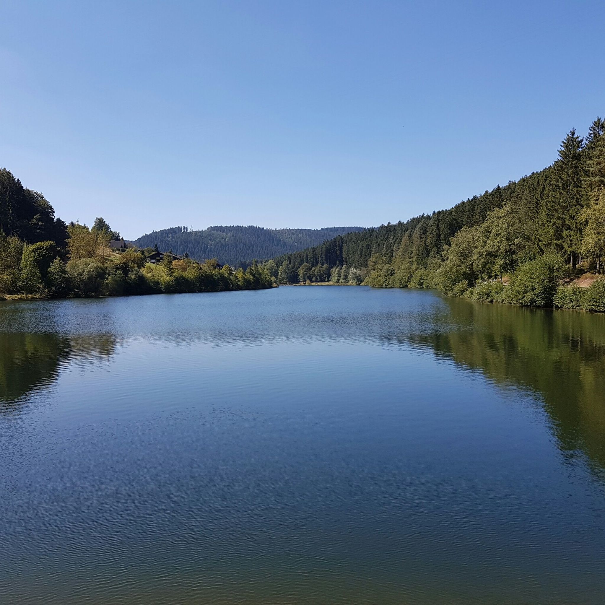
Hiking around Pfalzgrafenweiler
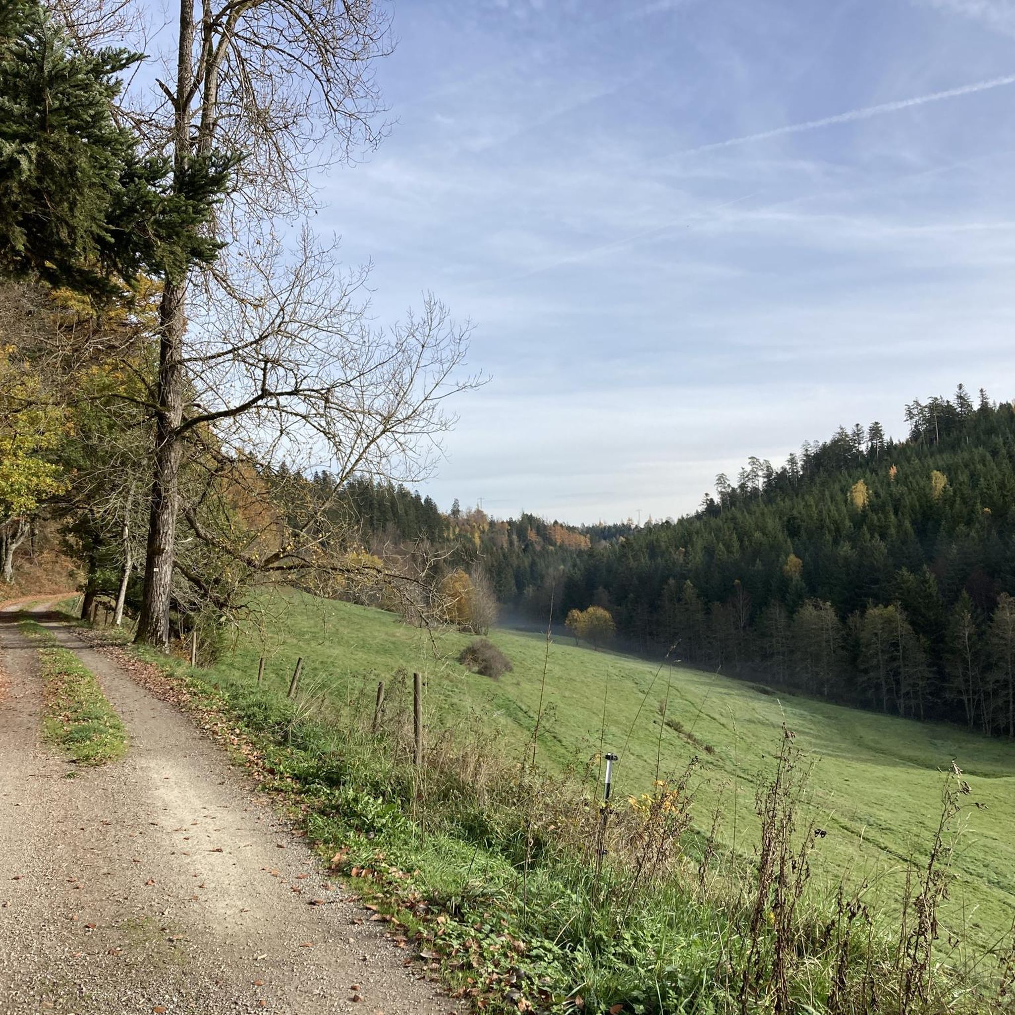
Cycling around Pfalzgrafenweiler
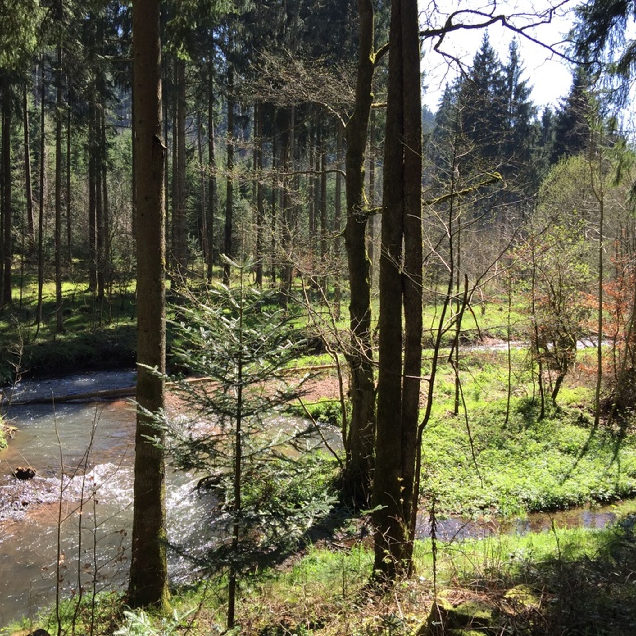
MTB Trails around Pfalzgrafenweiler
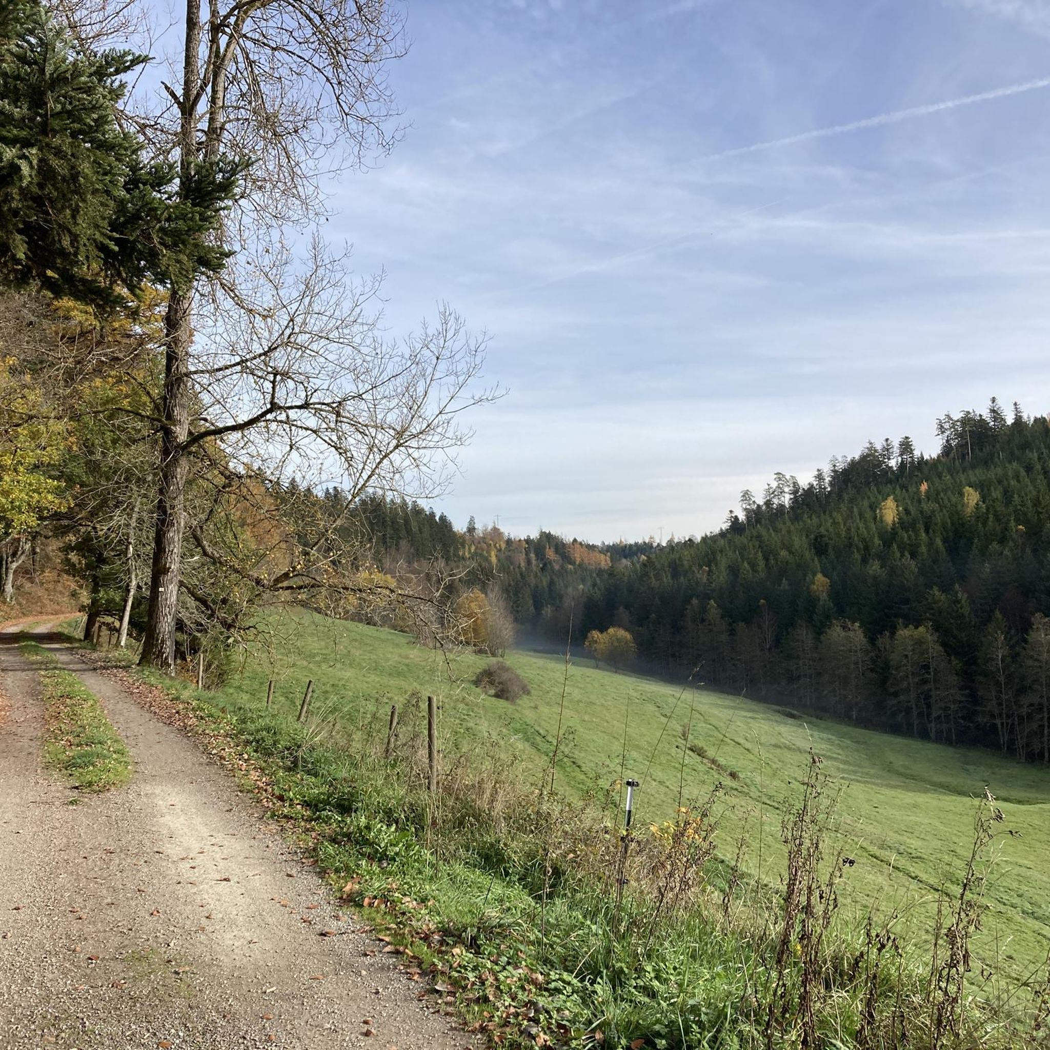
Road Cycling Routes around Pfalzgrafenweiler
Running Trails around Pfalzgrafenweiler
Other adventures around Pfalzgrafenweiler


Tips from the Community

Can only recommend it. However, it goes up and down again and again.
0
0

The Zinsbachmühle is a historic, former grain mill in the idyllic Zinsbachtal in the Northern Black Forest, whose origin at the present location dates back to 1555.
3
0

The Bösinger Wasserhäusle was a pumping station and was used to transport fresh spring water from a source in the Waldach valley via cast iron pipes to the village of Bösingen (a district of the municipality of Pfalzgrafenweiler), located 1.4 km away and 140 meters higher up. The pumps were driven by the water power of the Waldach. A water wheel with a diameter of six meters was used. The facility went into operation in 1894. In 1911, it was supplemented by an 8 hp gasoline engine, which could now also drive the pumps during low water levels in the Waldach. In 1948, it was connected to the power grid via a transformer station, after which a newly installed electric motor could serve as a backup drive. The Bösingen's own water supply was taken out of service in 1991 due to drinking water contamination. The entire facility, including the weir, the power channel, and the pumping station, has been protected as a cultural-historical monument since 2000. The pumping station can be visited all day on the Day of the Open Monument. Source: https://de.wikipedia.org/wiki/B%C3%B6singer_Wasserh%C3%A4usle
0
0
The Bösinger Wasserhäusle was a pumping station and served to transport fresh spring water from a source in the Waldach valley via cast iron pipes to the village of Bösingen (part of the municipality of Pfalzgrafenweiler), 1.4 km away and 140 meters higher. The pumps were driven by the water power of the Waldach. A water wheel with a diameter of six meters was used. The facility went into operation in 1894. In 1911, it was supplemented by an 8 hp gasoline engine, which could now also drive the pumps during low water levels in the Waldach. In 1948, it was connected to the power grid via a transformer station, from which time a newly installed electric motor could serve as a backup drive. The Bösingen's own water supply was taken out of operation in 1991 due to drinking water contamination. The entire facility with its weir, power channel, and pumping station has been protected as a cultural-historical monument since 2000. The pumping station can be visited all day on the Day of the Open Monument. Source: https://de.wikipedia.org/wiki/B%C3%B6singer_Wasserh%C3%A4usle
0
0

Weir on the Waldach, 300-meter-long drive channel, iron, backward-acting water wheel with spur gear transmission, 6 meters in diameter (originally lined with wooden paddles), 3 meters of head in the drive channel, pump output: 3-5 HP depending on water inflow from the drive channel, double-acting plunger pump from Maschinenfabrik Esslingen from the year 1893 with a high-performance suction and delivery pump and pressure vessel. In 1991, the plant was shut down as a private water supply due to contaminated spring water. Depending on the water level of the Waldach, the pumping station managed to pump 160,000 liters of fresh spring water directly into the houses and into the water reservoir in Bösingen, 2.3 km away and 140 meters higher, in 8 to 14 hours. The spring yields 1-2 liters per second depending on the season.
0
0
Weir on the Waldach, 300-meter-long tailrace canal, iron overshot water wheel with spur gear transmission, 6 meters in diameter (originally with wooden paddles), 3-meter head, pump capacity: 3-5 HP depending on water inflow from the tailrace canal, double-acting plunger pump from Maschinenfabrik Esslingen from 1893 with a powerful suction and delivery pump and pressure vessel. In 1991, the plant was shut down due to contaminated spring water as a private water supply. The pump managed to pump 160,000 liters of fresh spring water directly into the houses and into the water reservoir in Bösingen, 2.3 km away and 140 meters higher, in 8 to 14 hours, depending on the water level of the Waldach. The spring yields 1-2 liters per second depending on the season.
0
0

It's quite busy on weekends, but it's always good for a quick dip.
2
0
It's bearable here. In good weather, it's suitable for swimming.
1
0
Frequently Asked Questions
How many gravel bike trails can I find around Pfalzgrafenweiler?
Pfalzgrafenweiler offers a wide selection of gravel bike trails, with over 170 routes available. These trails cater to various skill levels, from moderate paths to more challenging routes with significant elevation changes.
What kind of terrain and elevation can I expect on gravel bike trails in Pfalzgrafenweiler?
The region around Pfalzgrafenweiler, situated on a high plateau in the northern Black Forest, features diverse terrain. You'll encounter extensive forests like the Weiler Wald, scenic valleys such as the Zinsbachtal and Waldachtal, and open meadows. Elevation changes are typical of the Black Forest foothills, providing both challenging climbs and flowing sections. For example, the Bösingen Water House – Waldach Cycle Path loop from Pfalzgrafenweiler includes over 450 meters of elevation gain.
Are there any family-friendly gravel bike routes in the area?
While many routes in Pfalzgrafenweiler are rated moderate to difficult, there are options suitable for families looking for a less strenuous ride. The region's extensive network includes paths that are more relaxed, often traversing through forests and along valleys. It's recommended to check individual route descriptions for difficulty and elevation to find the best fit for your family.
Can I bring my dog on the gravel bike trails around Pfalzgrafenweiler?
Many natural areas and trails in the Black Forest region are dog-friendly, provided dogs are kept on a leash, especially in nature reserves or near wildlife. Always respect local signage and regulations regarding pets on specific trails or protected areas like the Hohe Tannen Nature Reserve.
What natural features or landmarks can I see while gravel biking in Pfalzgrafenweiler?
You can explore a variety of natural beauty and historical sites. Highlights include the ancient trees of the Hohe Tannen Nature Reserve, the unspoiled Zinsbachtal Valley with its historic mills, and the expansive Weiler Wald. Some routes also offer views of the Nagoldtalsperre (Nagold Dam). You might also pass by the 700-year-old Ruine Mandelberg, which features an observation tower.
Are there any routes that offer scenic viewpoints?
Yes, several routes provide breathtaking panoramic views. From various vantage points, such as the Russenbusch, you can enjoy sweeping vistas across vast forests, the Zinsbach and Waldachtal valleys, and even as far as the Swabian Alb. The Nagoldtalsperre Erzgrube – Nagold Dam loop from Egenhausen is known for its scenic views of the Nagold Dam.
Are there any waterfalls or caves accessible from the gravel bike trails?
While gravel biking, you might find yourself near some interesting natural attractions. For instance, you could explore the Waterfall at the Lenzinsägmühle or the Kammerloch Waterfall. The region also has historical mining sites and caves, such as the Lower Sophia Mine or the Dorothea Exploration Tunnel, which are worth exploring off the bike.
What is the best time of year to go gravel biking in Pfalzgrafenweiler?
Pfalzgrafenweiler, as a designated spa town with an invigorating climate, is excellent for outdoor activities. Spring, summer, and autumn generally offer the best conditions for gravel biking, with pleasant temperatures and vibrant landscapes. While winter biking is possible, be prepared for colder temperatures and potential snow or ice, especially on higher elevations.
Are there options for circular gravel bike routes?
Yes, many of the gravel bike routes around Pfalzgrafenweiler are designed as loops, allowing you to start and end at the same point. Examples include the Bösingen Water House – Waldach Cycle Path loop from Pfalzgrafenweiler and the Nagoldtalsperre – Nagold Dam loop from Große Tannen, which are popular choices among local riders.
Where can I find parking near the gravel bike trails in Pfalzgrafenweiler?
Pfalzgrafenweiler and its surrounding villages offer various parking options, especially near trailheads or popular starting points for outdoor activities. Look for designated parking areas in town or at the entrances to nature reserves and forests. Specific parking information is often available in the detailed descriptions of individual routes on Komoot.
How can I reach the gravel bike trails using public transport?
Pfalzgrafenweiler is connected by public transport, primarily buses. While direct bike transport on buses might be limited, you can often reach the town center or nearby villages by bus and then cycle to the trailheads. For detailed information on routes and bike transport policies, it's best to consult local public transport schedules or the Schwarzwald Tourism website: schwarzwald-tourismus.info.
Are there places to stop for refreshments or accommodation along the routes?
Yes, the region around Pfalzgrafenweiler has several charming villages and towns where you can find cafes, pubs, and restaurants for refreshments. Many also offer accommodation options for cyclists. The Zinsbachtal Valley, for example, is known for its historic mills, some of which may offer hospitality. Planning your route with potential stops in mind can enhance your gravel biking experience.
What do other gravel bikers say about the trails in Pfalzgrafenweiler?
The gravel biking community highly rates the trails in Pfalzgrafenweiler, with an average score of 4.7 stars from over 180 reviews on Komoot. Riders often praise the varied forest and valley landscapes, the well-maintained paths, and the challenging yet rewarding elevation changes. Many appreciate the opportunity to explore both natural beauty and historical landmarks.
Are there any easy gravel bike routes for beginners?
While many routes feature moderate to difficult sections, beginners can find easier gravel paths, particularly those that stick to flatter valley floors or less undulating forest roads. The region's network offers options for various ability levels, so looking for routes with minimal elevation gain and shorter distances is a good starting point for those new to gravel biking.
Can I find more challenging or long-distance gravel routes?
Absolutely. Pfalzgrafenweiler is an excellent base for challenging and longer gravel rides. Many routes are rated as 'difficult' and cover significant distances with substantial elevation gain. For example, the Nagoldtalsperre Erzgrube – Nagold Dam loop from Egenhausen is a difficult 49 km path with over 680 meters of ascent, perfect for experienced riders seeking a longer adventure.
Most popular routes around Pfalzgrafenweiler
Most popular attractions around Pfalzgrafenweiler

Get inspired with the komoot mobile app


Explore more
Browse the best Gravel rides in other regions.
