The best running trails around Pfalzgrafenweiler
4.5
(46)
351
runners
66
runs
Jogging routes Pfalzgrafenweiler are set within the Northern Black Forest, a region characterized by extensive forests, diverse valleys, and a high plateau. The area is known as a climatic health resort, offering varied terrain suitable for outdoor activities. Runners can explore the Weiler Wald, which provides a natural environment for numerous trails. The Zinsbachtal Landscape Protection Area features unspoiled nature and varied vegetation, while the high plateau location ensures many paths are relatively flat or easily accessible.
Best jogging routes…
Last updated: July 5, 2026
5.0
(2)
17
runners
5.36km
00:36
110m
110m
Moderate run. Good fitness required. Mostly paved surfaces. Suitable for all skill levels.
21
runners
Easy run. Great for any fitness level. Mostly paved surfaces. Suitable for all skill levels.

Sign up for free
5.0
(7)
18
runners
7.50km
00:51
140m
140m
Moderate run. Good fitness required. Mostly paved surfaces. Suitable for all skill levels.
4.5
(2)
15
runners
9.11km
00:57
100m
100m
Moderate run. Good fitness required. Mostly paved surfaces. Suitable for all skill levels.
5.0
(1)
9
runners
7.81km
00:49
70m
70m
Moderate run. Good fitness required. Mostly paved surfaces. Suitable for all skill levels.
Get access to more routes and recommendations from other explorers.
Sign up for free
Already have an account?
Our route recommendations are based on thousands of hikes, rides, and runs completed by other people on komoot.
Start today with a free account
Your next adventure awaits.
Login or Signup
Popular around Pfalzgrafenweiler
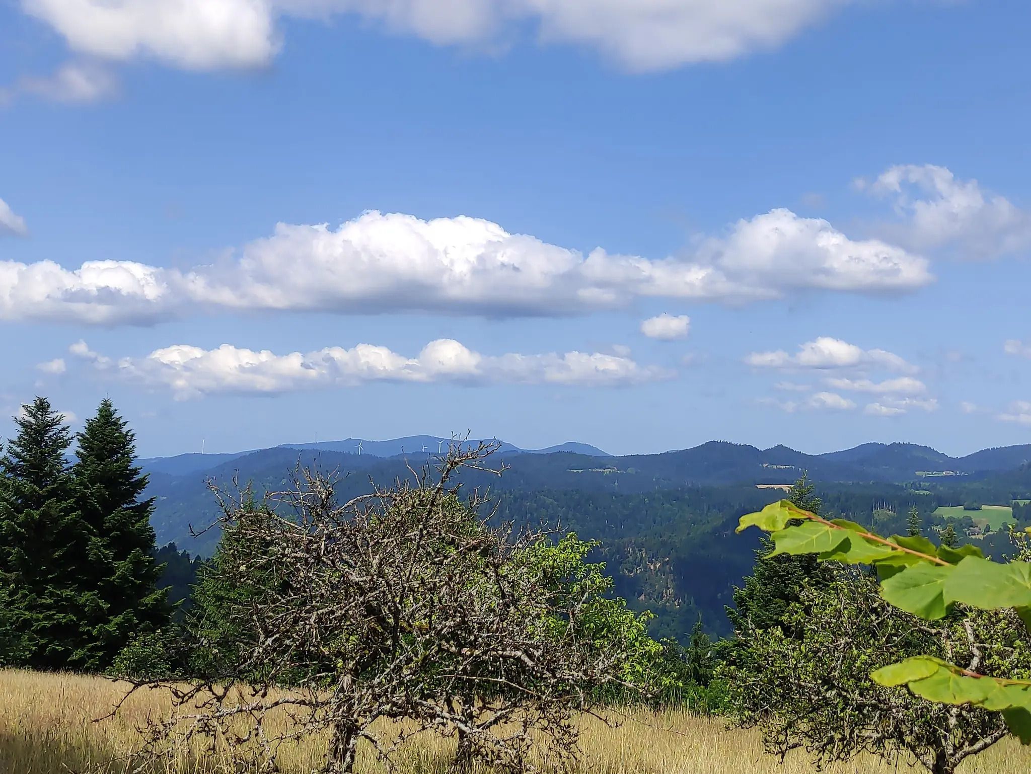
The Eastern Path of the Black Forest Association
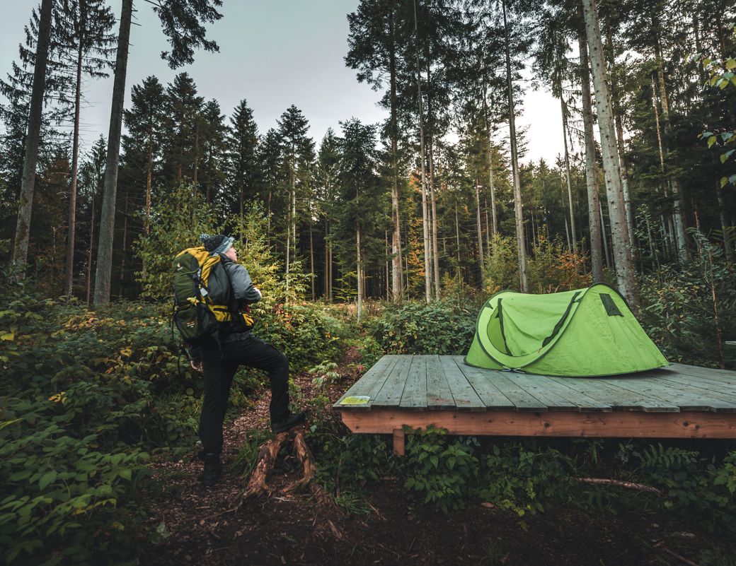
Special overnight stays and trekking camps in the Black Forest
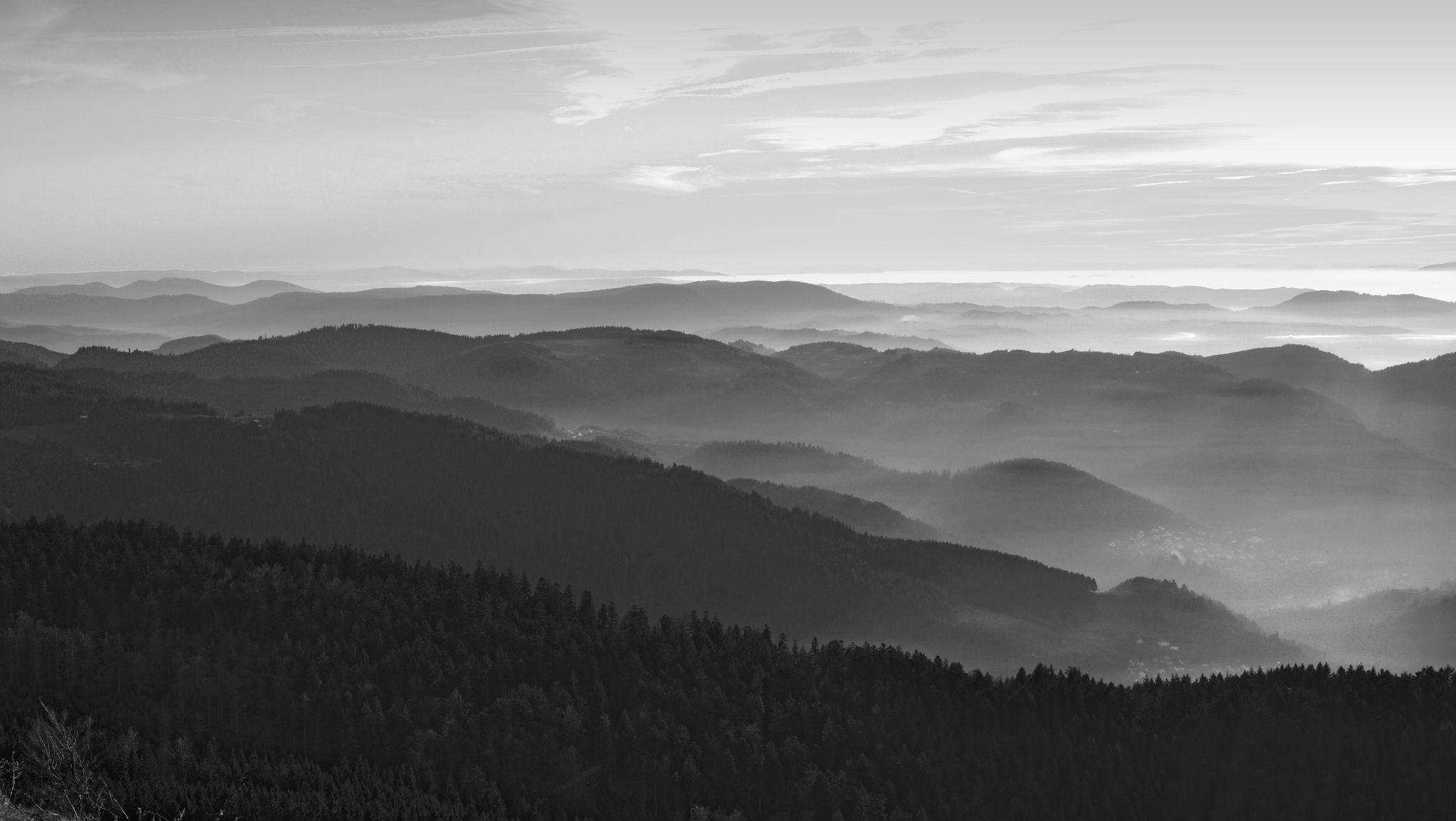
Let yourself be enchanted — hiking in the mystical Black Forest
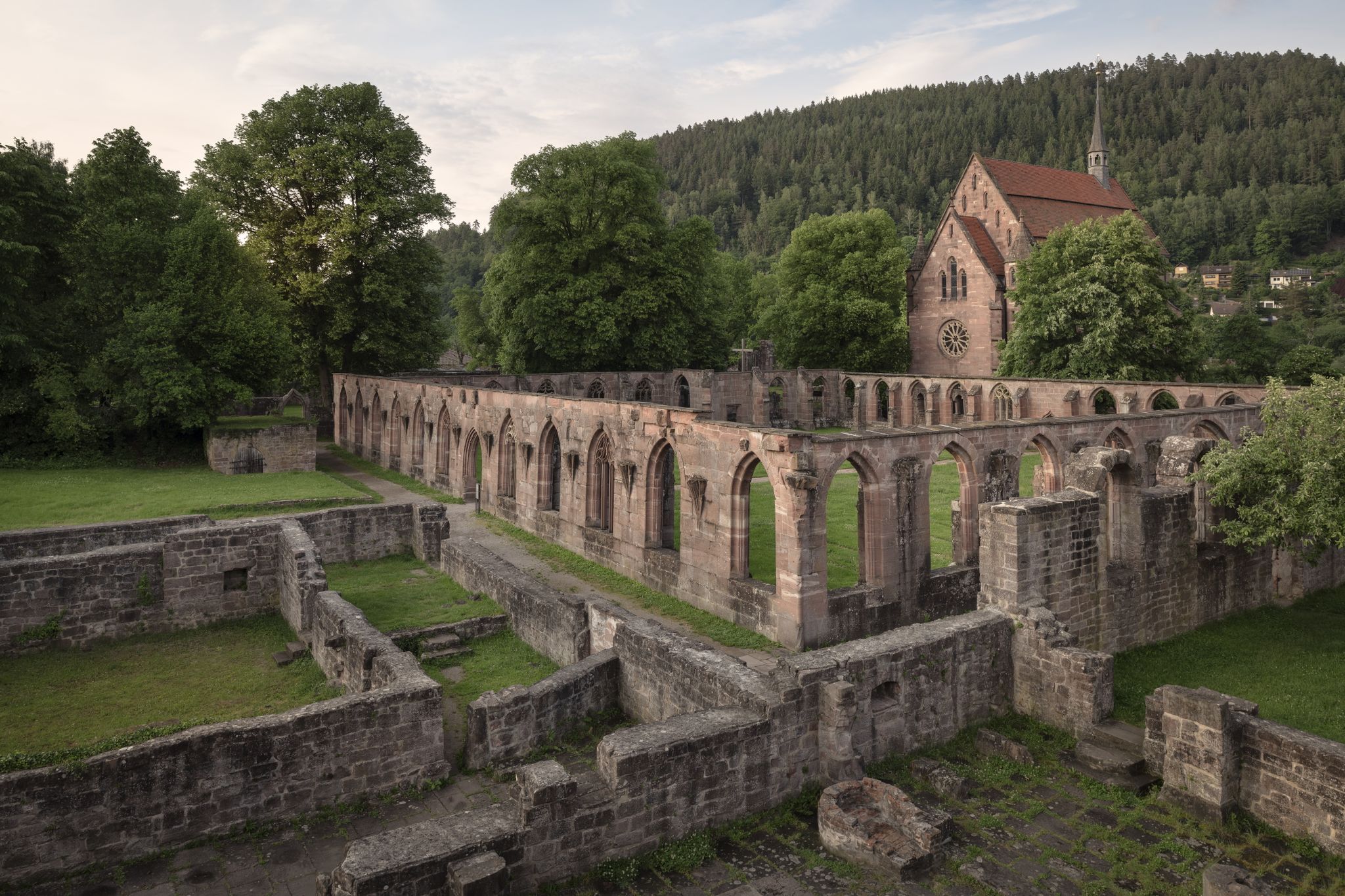
Cycling the Monastery Route in the Northern Black Forest
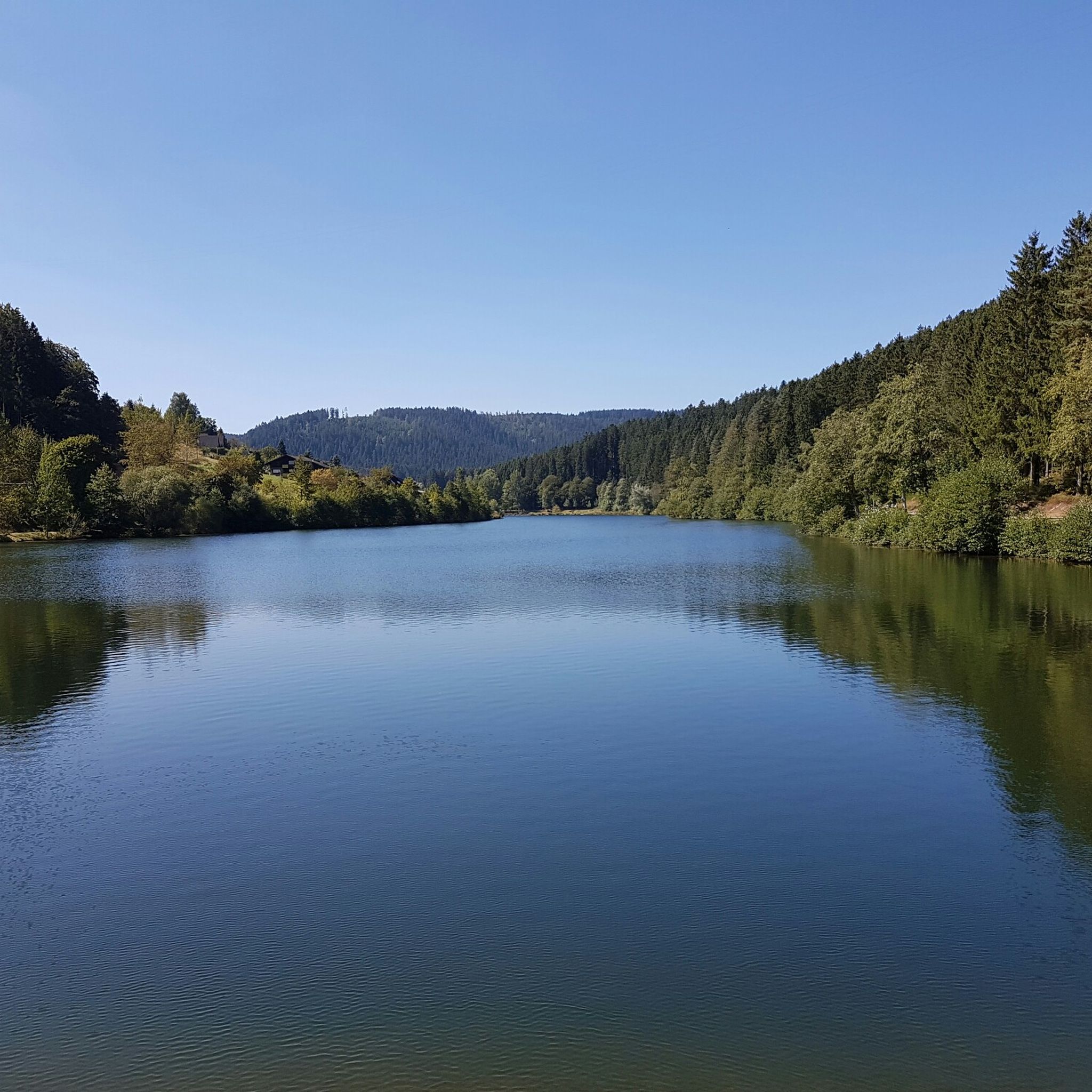
Hiking around Pfalzgrafenweiler
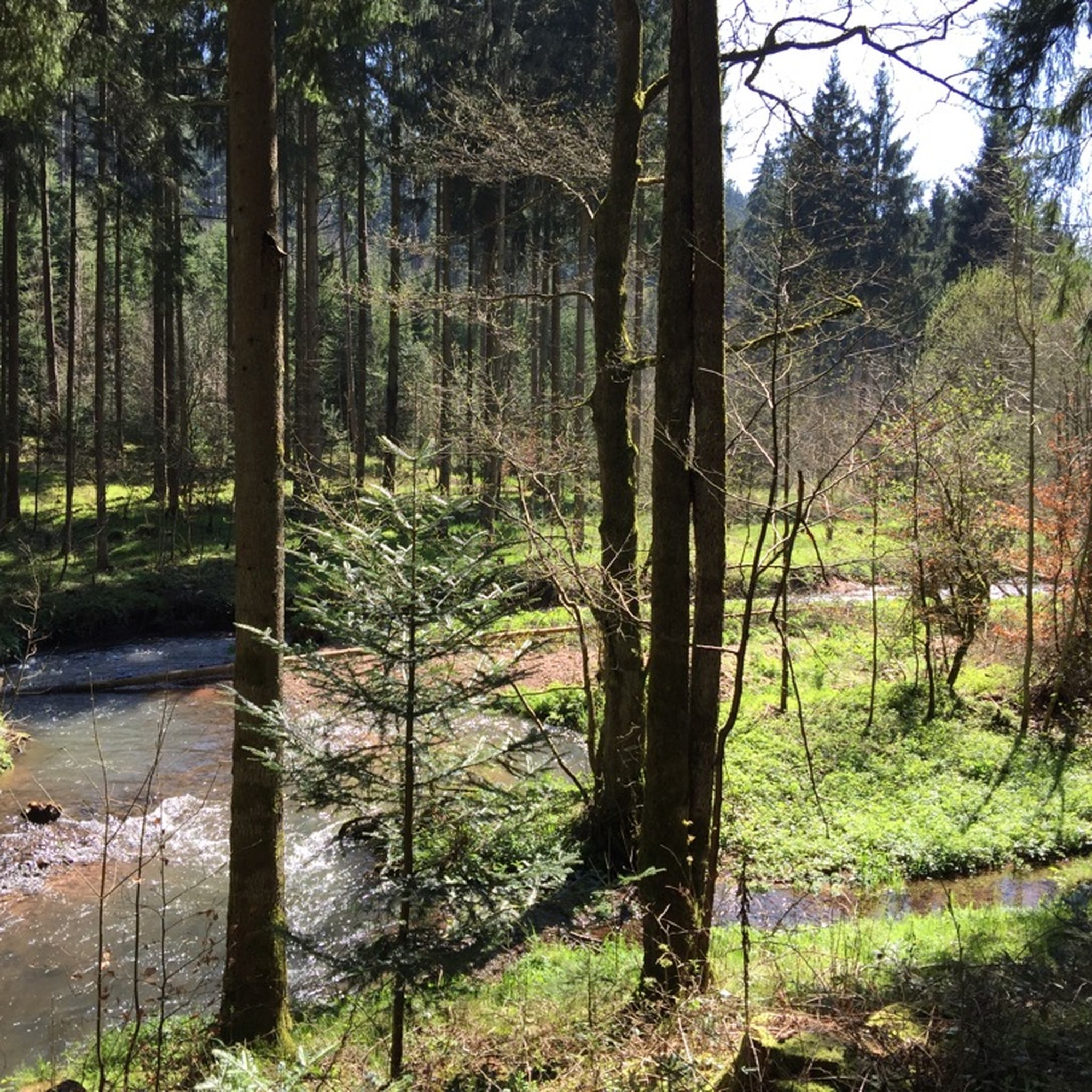
MTB Trails around Pfalzgrafenweiler
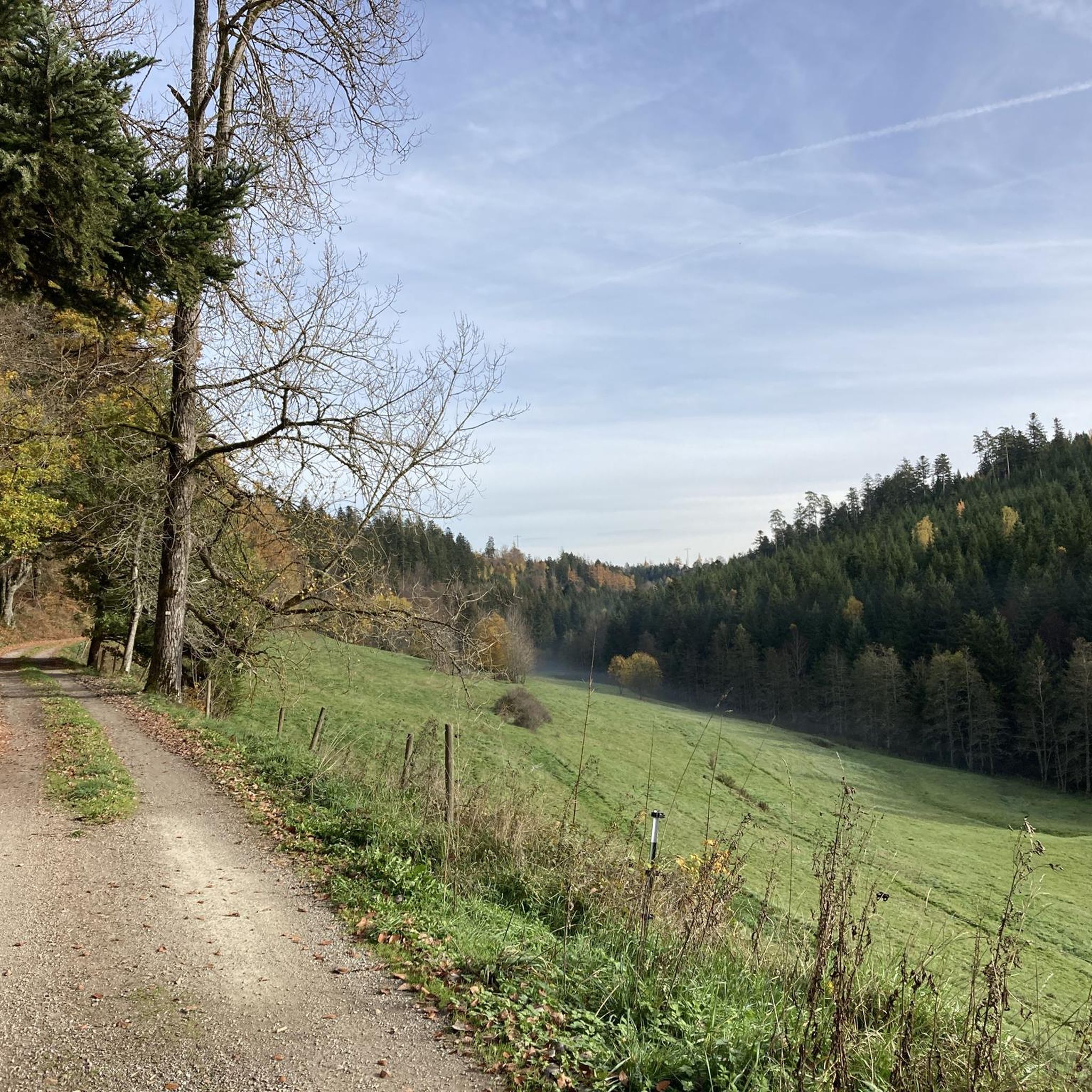
Cycling around Pfalzgrafenweiler
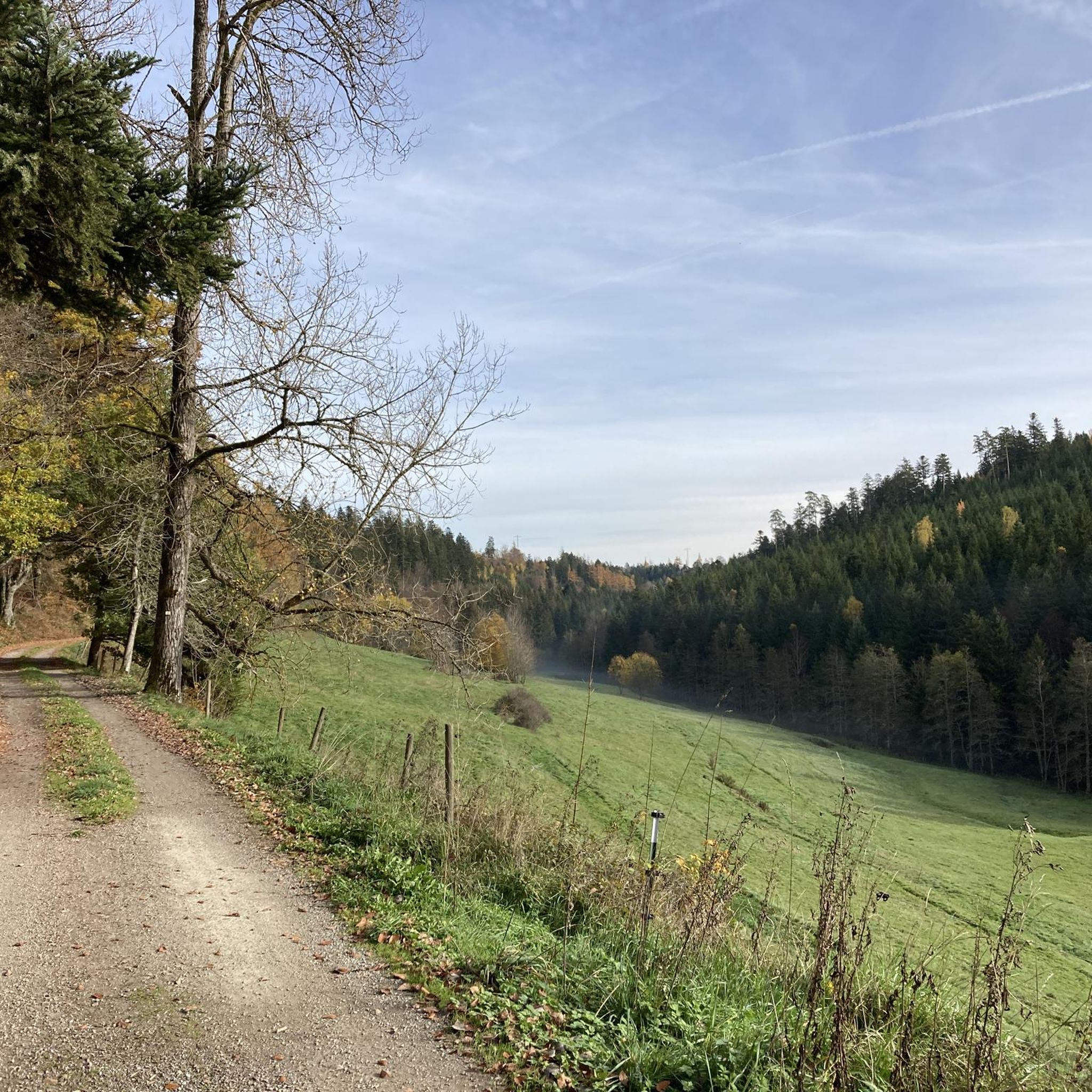
Road Cycling Routes around Pfalzgrafenweiler

Gravel biking around Pfalzgrafenweiler
Other adventures around Pfalzgrafenweiler


Tips from the Community

The Bömbachsee near Altensteig-Spielberg is idyllically situated, surrounded by forests in the middle of the countryside, and invites you to swim. The small lake is easily accessible via the Ziegelweg, and parking is available. A large sunbathing lawn with shady trees adjoins the eastern shore.
6
0

The Bösinger Wasserhäusle was a pumping station and was used to transport fresh spring water from a source in the Waldach valley via cast iron pipes to the village of Bösingen (a district of the municipality of Pfalzgrafenweiler), located 1.4 km away and 140 meters higher up. The pumps were driven by the water power of the Waldach. A water wheel with a diameter of six meters was used. The facility went into operation in 1894. In 1911, it was supplemented by an 8 hp gasoline engine, which could now also drive the pumps during low water levels in the Waldach. In 1948, it was connected to the power grid via a transformer station, after which a newly installed electric motor could serve as a backup drive. The Bösingen's own water supply was taken out of service in 1991 due to drinking water contamination. The entire facility, including the weir, the power channel, and the pumping station, has been protected as a cultural-historical monument since 2000. The pumping station can be visited all day on the Day of the Open Monument. Source: https://de.wikipedia.org/wiki/B%C3%B6singer_Wasserh%C3%A4usle
0
0
The Silberbrünnle spring 🌊 in Pfalzgrafenweiler-Bösingen is an idyllically located spring at the foot of the Schlosswald forest. It is a popular excursion destination in the Black Forest, known for its year-round bubbling, crystal-clear water, which soon flows into the Waldach. The resting bench invites you to linger,
0
0
Stitch Trail Adventure Trail - Stitch Trail An adventure trail to marvel at with currently 13 stations over approx. 2.5 km, an idea by Anne Krimmer. A colorful world of animals and plants made of crocheted and knitted motifs accompanies you through the forest. The start is at the Schloßwald at the barrier Nördlinger Hütte, continuing over the zig-zag path to the end of the path below the Mandelberg ruins. The stitched story of the Knitterbibus Can be seen as a stitch trail in the Schlosswald in Pfalzgrafenweiler. Sources: https://www.pfalzgrafenweiler.de/tourismus-freizeit/erlebniswege/maschenpfad https://wollklunker.blogspot.com/
1
0
Schlossquelle 🏰🌊 from 1974 - Off the beaten path behind a pasture fence - Pfalzgrafenweiler - LKR. Freudenstadt
1
0
Maschenpfad Experience trail - Maschenpfad An experience trail to marvel at with currently 13 stations over approx. 2.5 km, based on an idea by Anne Krimmer. A colorful world of animals and plants made of crocheted and knitted motifs accompanies you through the forest. The start is at Schloßwald at the barrier of Nördlinger Hütte, continuing over the Zick-Zack-Weg to the end of the path below the Mandelberg ruins. The unraveled story of the Knitterbibus Can be seen as the Maschenpfad in the Schlosswald in Pfalzgrafenweiler. Sources: https://www.pfalzgrafenweiler.de/tourismus-freizeit/erlebniswege/maschenpfad https://wollklunker.blogspot.com/
1
0
The Vörbach ruin is a ridge castle near the municipality of Pfalzgrafenweiler in the district of Freudenstadt in Baden-Württemberg, above the Waldach valley. Remains of the keep, the shield wall, and a flanking tower have been preserved. The castle is first mentioned in a document in 1140 as the property of the Counts Palatine of Tübingen. The brothers Albrecht and Diem von Steinhilben were named as the first named owners in 1330. Their father Dietrich von Steinhilben likely received the castle as a fief from the Count Palatine. In 1360, Vörbach was sold by Count Burkhard to Count Palatine Ruprecht I. of the Palatinate. The complex was sold by Count Otto I. in 1440 to Counts Ludwig I. and Ulrich of Württemberg. The fief was granted to the Lords of Emershofen until 1483. They sold Vörbach for 1,800 guilders to the Lords of Ehingen. In 1485, Jörg von Ehingen was enfeoffed with Vörbach by Count Eberhard im Bart. Rudolf von Ehingen sold, among other things, the castle in 1498 to Hans von Neuneck zu Glatt. Wildhans von Neuneck sold the Vörbach castle estate in 1625 for 70,000 guilders to the Duke of Württemberg. After the great village fire of Pfalzgrafenweiler on April 24, 1798, the stones were used to rebuild the town. In 1906, the Schwarzwaldverein built the Nördlinger Hütte on a tower stump of the surrounding wall, named after a founding member, as a resting and shelter hut. It was last renovated in 1990 and is now used as the clubhouse of the Schwarzwaldverein Pfalzgrafenweiler. A curved ditch cuts off the castle site from the corner of the mountain. The foundation walls of the square keep are found on a hill. Rough-hewn ashlar blocks were used to build the tower, suggesting a late Staufen construction. The exact height is not known, but is estimated to be around 30 meters. A large castle complex with numerous outbuildings can be seen on a historical forest map from 1584. A description from 1625 mentions a summer house, a gatekeeper's house, cattle and horse stables, and a well, among other things. Two buildings used as cattle stables and a sheep barn were located outside the castle. No remains of these are visible anymore. Source: https://de.wikipedia.org/wiki/Ruine_V%C3%B6rbach
2
0

Weir on the Waldach, 300-meter-long drive channel, iron, backward-acting water wheel with spur gear transmission, 6 meters in diameter (originally lined with wooden paddles), 3 meters of head in the drive channel, pump output: 3-5 HP depending on water inflow from the drive channel, double-acting plunger pump from Maschinenfabrik Esslingen from the year 1893 with a high-performance suction and delivery pump and pressure vessel. In 1991, the plant was shut down as a private water supply due to contaminated spring water. Depending on the water level of the Waldach, the pumping station managed to pump 160,000 liters of fresh spring water directly into the houses and into the water reservoir in Bösingen, 2.3 km away and 140 meters higher, in 8 to 14 hours. The spring yields 1-2 liters per second depending on the season.
0
0
Frequently Asked Questions
How many running routes are available in Pfalzgrafenweiler?
Pfalzgrafenweiler offers a wide selection of running routes, with over 60 trails available for you to explore. These range from easy to more challenging options, catering to various fitness levels.
What kind of terrain can I expect on the jogging trails around Pfalzgrafenweiler?
The jogging trails in Pfalzgrafenweiler are predominantly set within the Northern Black Forest, offering diverse terrain. You'll find routes through extensive forests like the Weiler Wald, charming valleys such as the Zinsbachtal Landscape Protection Area, and paths on a high plateau, which often means relatively flat or easily accessible sections.
Are there running routes suitable for beginners or those looking for an easy jog?
Yes, Pfalzgrafenweiler has several easy running routes perfect for beginners or those seeking a relaxed pace. There are 11 routes classified as easy, such as the Harfentanne loop from Waldsägmühle, which offers a gentle elevation profile through the forest.
Can I find circular running routes in Pfalzgrafenweiler?
Absolutely. Many of the running routes in Pfalzgrafenweiler are circular, allowing you to start and end at the same point. Examples include the popular Schlossquelle loop from Pfalzgrafenweiler and the Nördlinger Hut – Silberbrünnle Spring loop from Pfalzgrafenweiler.
What natural sights or landmarks can I see while jogging around Pfalzgrafenweiler?
While jogging, you can encounter several natural highlights. The Bömbach Lake – Bömbachsee Forest Playground loop takes you past the scenic Bömbach Lake. The region also features the impressive "Große Tannen" Nature Reserve with its towering trees near Kälberbronn, and the unspoiled nature of the Zinsbachtal Valley, which you can explore on routes like the Hotel Waldsägmühle and Garden – Zinsbachtal Valley loop.
Are there family-friendly jogging trails in the area?
Yes, Pfalzgrafenweiler offers routes suitable for families. Trails with minimal elevation gain and well-maintained paths are ideal. The Bömbach Lake – Bömbachsee Forest Playground loop is a great option, combining natural beauty with a playground nearby for younger family members.
Can I bring my dog on the running trails in Pfalzgrafenweiler?
Many trails in the Pfalzgrafenweiler area, particularly those through the Weiler Wald and Zinsbachtal, are dog-friendly. It's generally recommended to keep dogs on a leash, especially in nature reserves or areas with wildlife, to ensure their safety and respect for other trail users and the environment.
What do other runners enjoy the most about jogging in Pfalzgrafenweiler?
The running routes in Pfalzgrafenweiler are highly rated by the komoot community, with an average score of 4.6 stars from over 30 reviews. Reviewers often praise the quiet woodlands, the diverse natural landscapes, and the well-maintained paths that make for an enjoyable running experience in this climatic health resort.
Are there running routes with low-impact surfaces in Pfalzgrafenweiler?
Many of the trails in Pfalzgrafenweiler traverse forest paths and natural ground, which typically offer a softer, more low-impact surface compared to asphalt. Routes through the Weiler Wald and Zinsbachtal often feature these types of surfaces, ideal for runners looking to reduce strain.
Where can I find parking near the popular running trails?
Parking is generally available at common starting points for many routes. For instance, trails near Waldsägmühle, such as the Harfentanne loop, often have designated parking areas. For routes starting directly from Pfalzgrafenweiler, parking can usually be found within the town or at trailheads on the outskirts.
Are there any cafes or restaurants near the running routes for a post-run refreshment?
Yes, Pfalzgrafenweiler and its surrounding villages offer options for refreshments. For example, the Hotel Waldsägmühle and Garden – Zinsbachtal Valley loop starts near Hotel Waldsägmühle, which provides dining options. In Pfalzgrafenweiler itself, you'll find various cafes and restaurants to relax after your run.
What makes Pfalzgrafenweiler an ideal destination for outdoor running?
Pfalzgrafenweiler's designation as a "Luftkurort" (climatic health resort) and its location within the picturesque Northern Black Forest make it ideal. The region boasts extensive forests, diverse valleys, and a high plateau, providing a variety of well-maintained trails and fresh air, perfect for an invigorating running experience.
Most popular routes around Pfalzgrafenweiler
Most popular attractions around Pfalzgrafenweiler

Get inspired with the komoot mobile app


Explore more
Browse the best Running Trails & Routes in other regions.
