Top 3 Mountain Passes around Sierra De Segura
Mountain passes around Sierra De Segura are situated within a prominent mountain range in Jaén province, Spain, forming part of the Sierras de Cazorla, Segura y Las Villas Natural Park. This region is characterized by its complex relief, deep gorges, and significant hydrological importance. The area offers diverse landscapes, from dense pine forests to high-altitude plateaus, making it suitable for various outdoor activities. It is recognized for its rich biodiversity and natural beauty.
Best mountain passes around Sierra De Segura
…Last updated: August 30, 2026
Despiernacaballos Pass
Highlight • Mountain Pass
Translated by Google •
Tip by

Final section of the Puerto del Yelmo
Highlight (Segment) • Mountain Pass
Translated by Google •
Tip by

Sign up now to discover places like this
Get recommendations on the best single tracks, peaks, & plenty of other exciting outdoor places.
Sign up for free
Collado de Góntar
Highlight • Natural Monument
Translated by Google •
Tip by

View of Embalse del Tranco de Beas and Surrounding Mountains
Highlight • Viewpoint
Translated by Google •
Tip by

Start today with a free account
Your next adventure awaits.
Login or Signup
Popular around Sierra De Segura

Bikepacking the mountains and deserts of Andalucía
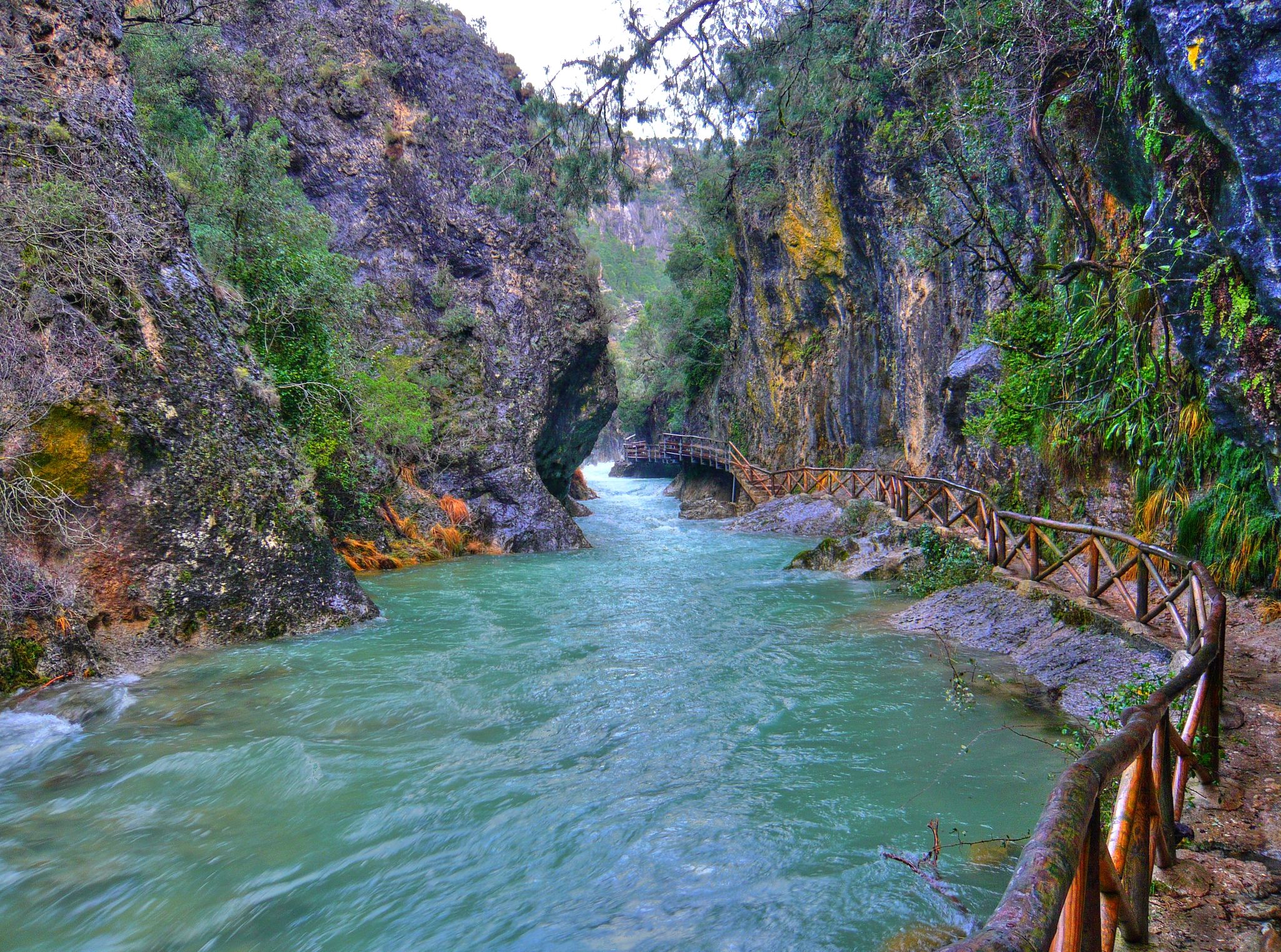
Through the Borosa Gorge to the highest peak of the Sierra de Segura
A winter getaway along the greenways of Andalusia in Spain
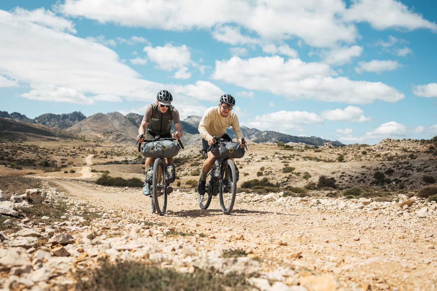
Bikepacking in Andalusia – Europe's gravel paradise
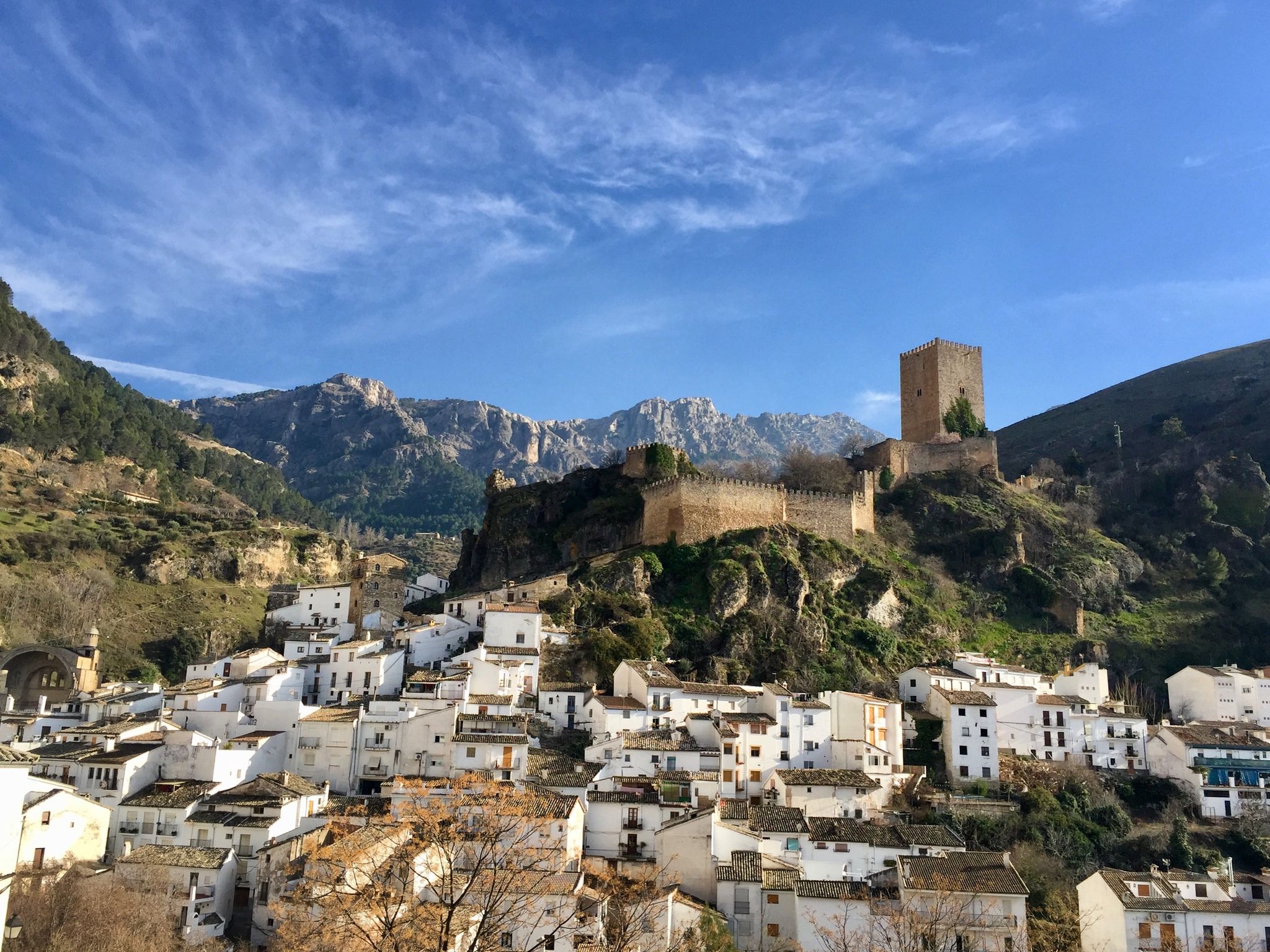
European Divide Trail across the Iberian Peninsula – central
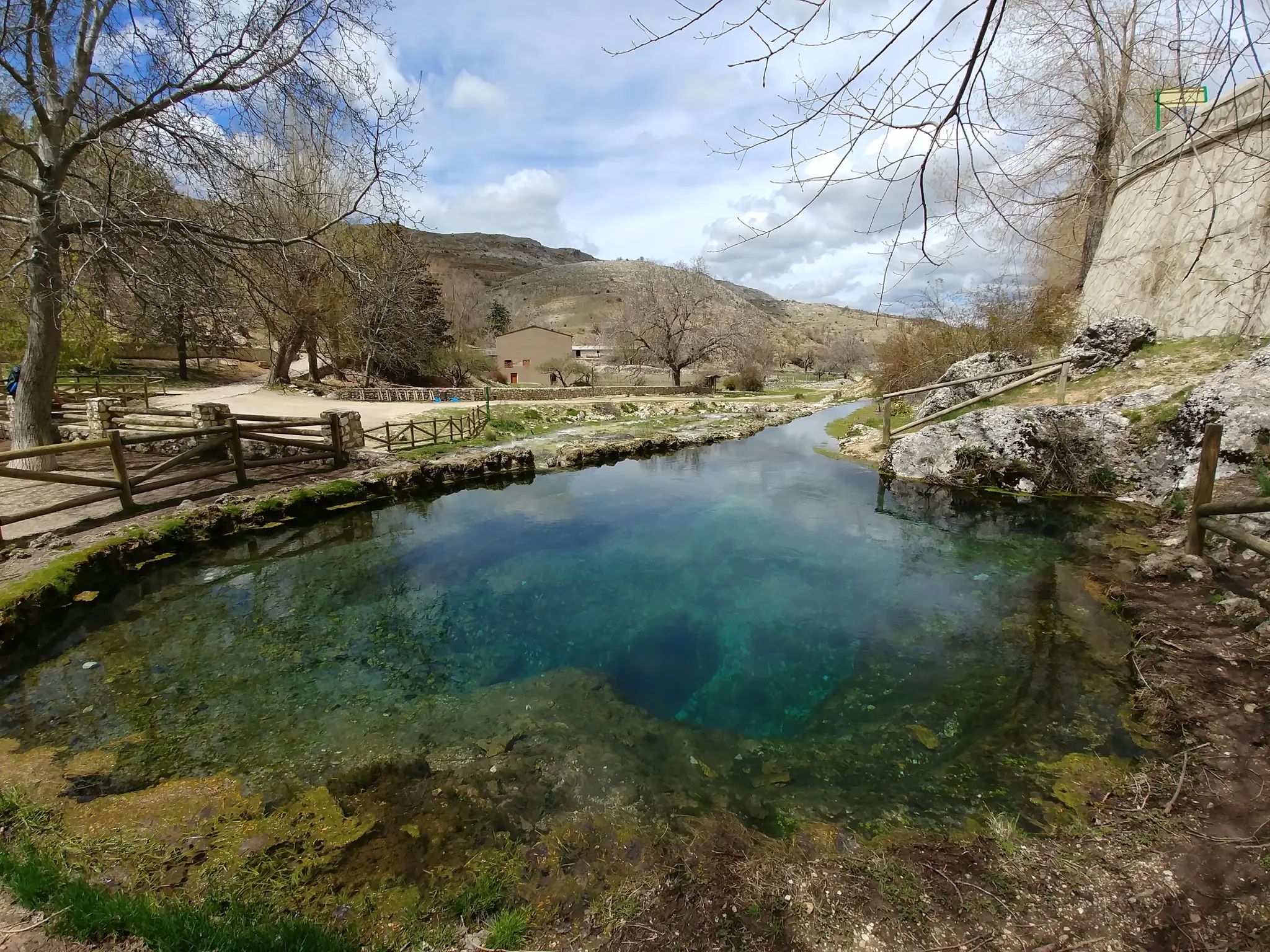
Transhumance in the Sierra de Segura – hiking the GR 144

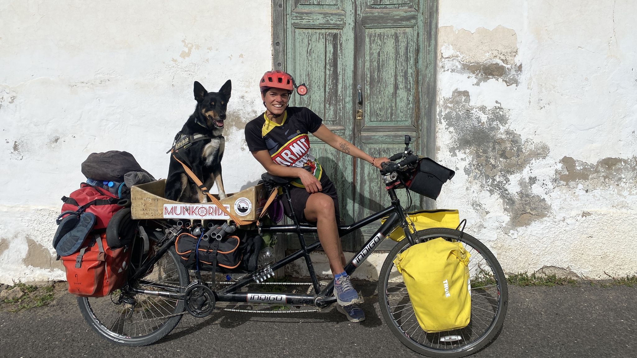
Let’s head south – cycle in Andalusia with me and my dog

Wild and free Andalusia – Transandalus through the interior
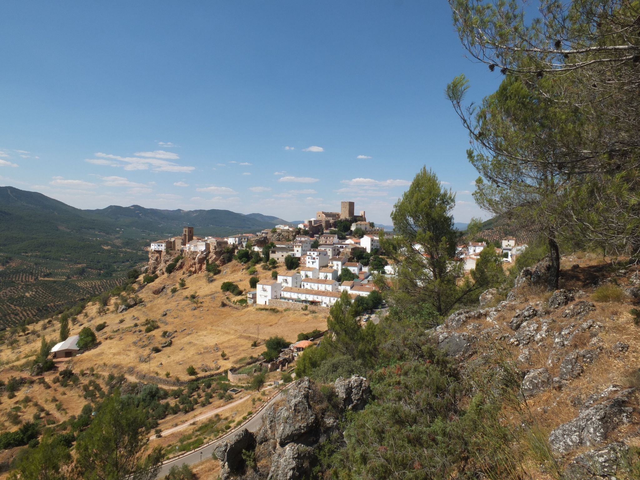
Mountains and olive groves in the Sierra de Segura – GR 146

Explore the Betic Mountains on two wheels – Altravesur
Other adventures around Sierra De Segura


Tips from the Community

It is the closest uphill cycling port to the route of the Segura River (I have done the downhill from Poyotello to Huelga Utrera, passing by the Cueva del Agua). Years ago it was not paved and that made it even more epic, it is 10 kilometres long and would surely be considered a first-class or special port. With asphalt, it continues to be beautiful and demanding, especially from km 6 to 9. If you do it uphill, save your strength for this section.
2
0

The climb is very demanding but with incredible views below La Toba, a beautiful place and above the canyon, also spectacular.
3
0

Despiernacaballos is a hard and unique climb that connects the Segura river valley with Cañada Hermosa and the road to Santiago de la Espada or Pontones. But that is not all; It allows you to suffer during the ascent and enjoy the views of the Segura river valley at every turn. A true privilege reserved for a few intrepid 💪
0
0

Before reaching the Río Segura gorge and after a road that ``glides over the top of the Sierra del Almorchón, the spectacular curves that look like balconies hanging over the Río Segura itself! Impressive views.
2
0
This mythical peak is where the cycle of paragliding and gliding takes place. You can also climb it by a track combined with silks!
0
0
Spectacular rock formation that witnesses everything that happens around it due to its strategic position. Everyone who gets there is privileged! 😊
3
0

Hornos is a charming town located in the Sierra de Cazorla, Segura y Las Villas Natural Park. It is surrounded by huge mountains and is located at the northern end of the Tranco de Beas reservoir. A magical place to make a stop and savor its unique beauty.
0
0
The valley in the background is that of the Madera River, and the photographs are taken from the rise of Despiernacaballos. The village of Toba is located down in the valley.
1
0
Frequently Asked Questions
What makes the mountain passes in Sierra de Segura unique?
The mountain passes in Sierra de Segura are unique due to their location within the Sierras de Cazorla, Segura y Las Villas Natural Park, one of Spain's largest protected areas. This results in a region with complex relief, deep gorges, and significant hydrological importance. You'll find diverse landscapes, from dense pine forests to high-altitude plateaus, offering rich biodiversity and stunning natural beauty. Some passes, like Despiernacaballos Pass, are known for their notable asphalt curves and dramatic changes in scenery, while Collado de Góntar features a spectacular fragmented rock formation.
Which mountain passes are popular for cycling in Sierra de Segura?
Cyclists often enjoy the ascent to Puerto de El Pinar, which is about 14.7 km long with an average gradient of 3.5% on the A-317 road. Another popular choice is Despiernacaballos Pass, known for its asphalt roads and challenging curves. The Final section of the Puerto del Yelmo also offers a special cycling experience through a spectacular forest with minimal motor vehicle traffic. For more cycling options, explore the Road Cycling Routes around Sierra De Segura guide.
Are there any historical mountain passes in the region?
Yes, Puerto (or Puerto de Cecilia) is mentioned in historical travel accounts of the Sierra de Segura, highlighting its traditional role as a significant mountain crossing. While modern details might be less abundant, its historical context suggests an authentic experience of the Sierra's past routes and its integration into the natural landscape.
What kind of views can I expect from the mountain passes?
The mountain passes offer breathtaking panoramic views. For instance, Pico Las Banderillas, the highest point in Sierra de Segura, provides extensive views of the entire Sierra, including the Guadalquivir valley. From Despiernacaballos Pass, you can witness impressive vistas overlooking the Río Segura. Additionally, View of Embalse del Tranco de Beas and Surrounding Mountains offers a charming perspective of the reservoir and the surrounding peaks.
Are there hiking opportunities near the mountain passes?
Absolutely. The region is ideal for hiking. While Pico Las Banderillas is a challenging but rewarding hike to the highest point, many other trails exist. You can find a variety of options, from easy walks to more demanding routes. For specific hiking trails, you can check out the Easy hikes around Sierra De Segura or the Waterfall hikes around Sierra De Segura guides for detailed routes.
What wildlife might I encounter around the mountain passes?
The Sierra de Segura, being part of a large natural park, is rich in biodiversity. Hikers in areas like Pico Las Banderillas might encounter various wildlife, including deer, fallow deer, mouflon, and even bearded vultures. The immense pine forests and diverse landscapes provide habitats for a wide array of flora and fauna.
Are there any family-friendly viewpoints or passes?
Yes, the View of Embalse del Tranco de Beas and Surrounding Mountains is considered family-friendly. It offers a magical stop with views of the Tranco de Beas reservoir and the charming town of Hornos, making it suitable for visitors of all ages to enjoy the scenic beauty.
What is the best time of year to visit the mountain passes in Sierra de Segura?
The diverse landscapes of Sierra de Segura make its mountain passes appealing throughout much of the year. Spring and autumn generally offer pleasant temperatures for outdoor activities like hiking and cycling, with vibrant flora in spring and beautiful colors in autumn. While specific data on 'best time' isn't provided, these seasons typically avoid the peak heat of summer and potential snow in winter at higher altitudes, making them ideal for exploring.
Can I find challenging routes for experienced hikers or cyclists?
Yes, the region offers challenging routes. Pico Las Banderillas, for example, is a demanding hike to the highest point in the Sierra de Segura. For cyclists, the climb to Despiernacaballos Pass is described as very demanding. You can find difficult road cycling routes like 'Puerto Despiernacaballo y Mirador de Huelguecillas' or 'Tour of the Cazorla and Las Villas Sierras' in the Road Cycling Routes around Sierra De Segura guide.
What natural monuments can be found among the mountain passes?
One notable natural monument is Collado de Góntar. Located at the northern end of Calar del Cobo, it features a spectacular rock formation that has fragmented into two huge portions over time, creating a unique and impressive geological sight.
Are there opportunities for paragliding or gliding near the passes?
Yes, the area around the Final section of the Puerto del Yelmo is known as a location where the cycle of paragliding and gliding takes place. This mythical peak offers unique conditions for these aerial sports.
Most popular routes around Sierra De Segura
Most popular attractions around Sierra De Segura

Get inspired with the komoot mobile app


Didn’t find what you were looking for?
Find even more amazing mountain passes around Sierra De Segura organized by region:
Explore more
See even more epic mountain passes by checking out these guides around Sierra De Segura:
