The best running trails around Sierra De Segura
3.5
(2)
368
runners
45
runs
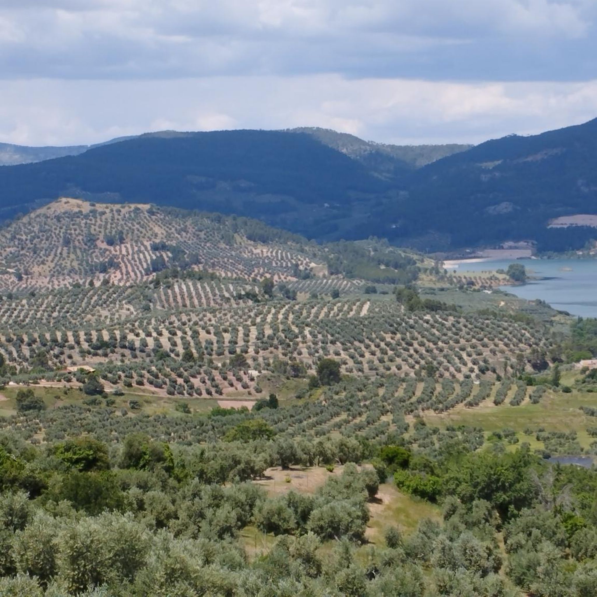
Jogging routes around Sierra De Segura offer diverse terrain within the Sierras de Cazorla, Segura y Las Villas Natural Park, a UNESCO Biosphere Reserve. The region features rugged mountains, deep gorges, and an extensive network of rivers, providing varied running experiences. Pine forests and karstic formations create a dramatic backdrop for trails, with elevations ranging significantly across the park. This area is ideal for runners seeking natural beauty and varied challenges.
Best jogging routes around Sierra De Segura
- The most…
Last updated: October 10, 2026
2
runners
Hard run. Very good fitness required. Mostly accessible paths. Some sure footedness required.
2
runners
Hard run. Very good fitness required. Sure-footedness, sturdy shoes and alpine experience required.

1
runners
18.3km
02:04
370m
370m
Hard run. Very good fitness required. Mostly accessible paths. Some sure footedness required.
12.7km
01:52
680m
680m
Hard run. Very good fitness required. Mostly accessible paths. Some sure footedness required.
Hard run. Very good fitness required. Mostly accessible paths. Some sure footedness required.
41
runners
Hard run. Good fitness required. Sure-footedness, sturdy shoes and alpine experience required.
19
runners
12.3km
01:46
540m
540m
Hard run. Very good fitness required. Mostly paved surfaces. Suitable for all skill levels.
19
runners
25.4km
03:29
1,110m
1,110m
Hard run. Very good fitness required. Mostly paved surfaces. Suitable for all skill levels.
11
runners
17.4km
02:16
630m
630m
Hard run. Very good fitness required. Mostly paved surfaces. Suitable for all skill levels.
12
runners
7.88km
00:53
200m
200m
Moderate run. Good fitness required. Mostly paved surfaces. Suitable for all skill levels.
Get access to more routes and recommendations from other explorers.
Already have an account?
Our route recommendations are based on thousands of hikes, rides, and runs completed by other people on komoot.
Start today with a free account
Your next adventure awaits.
Popular around Sierra De Segura
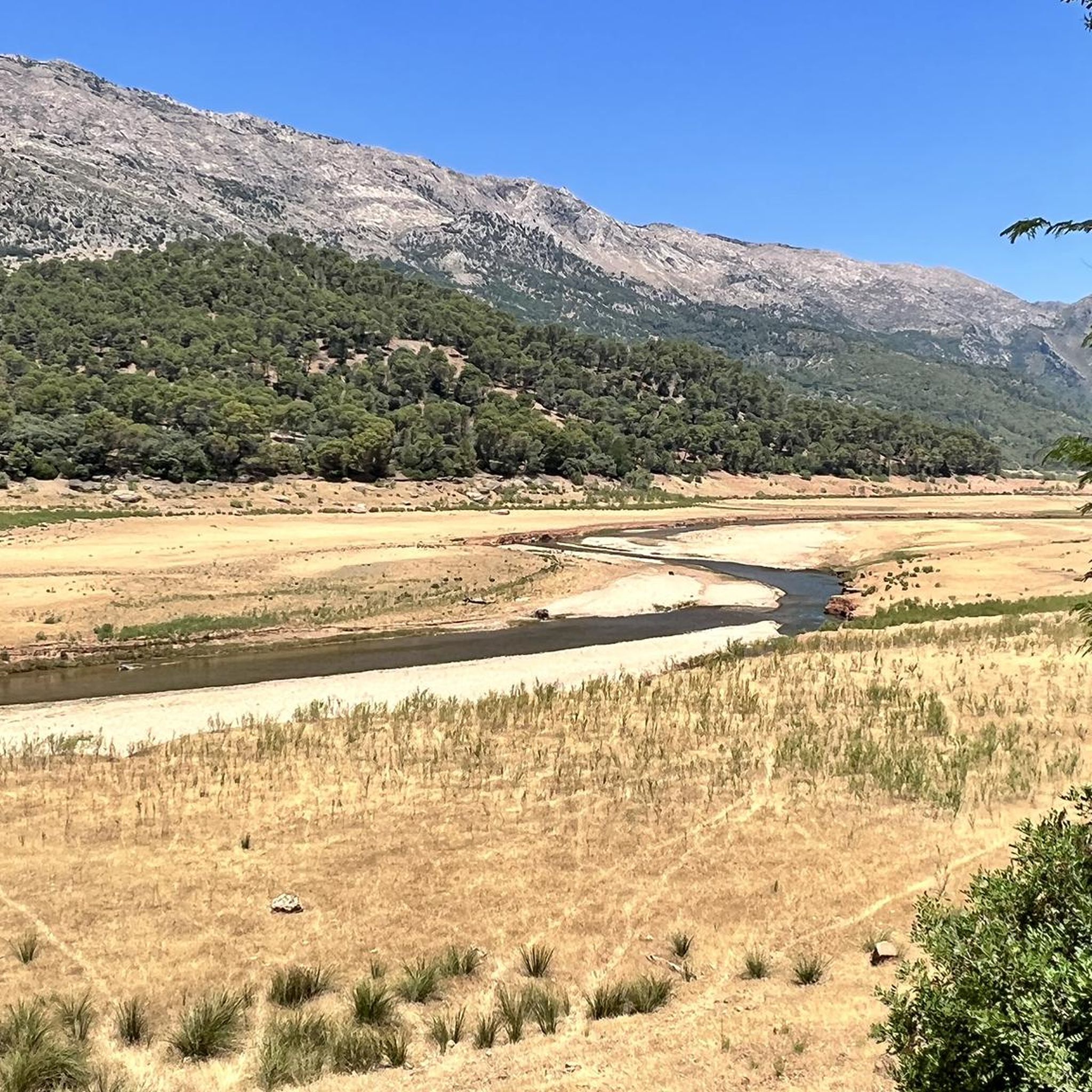
Running Trails around Embalse de Tranco de Beas
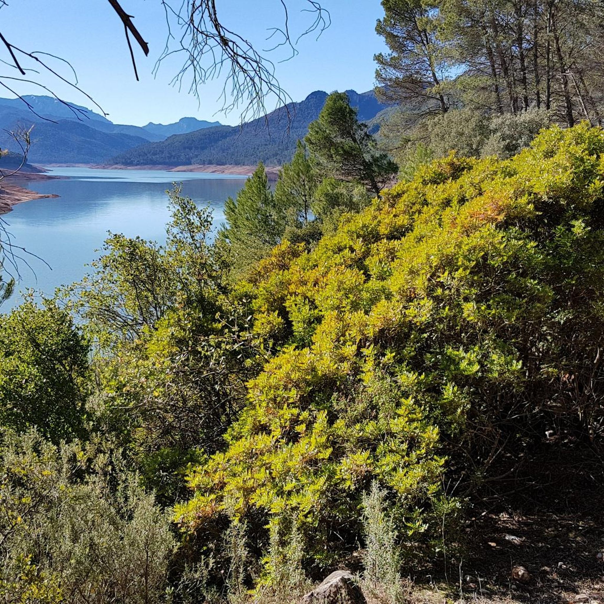
Running Trails around Beas De Segura
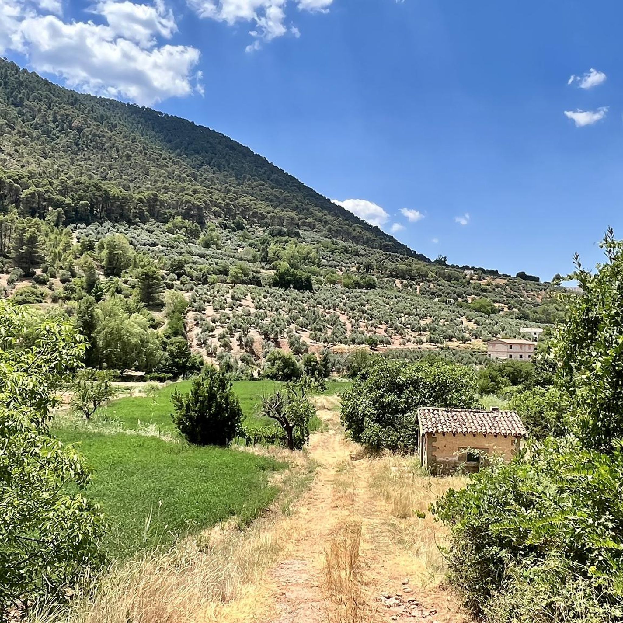
Running Trails around Benatae
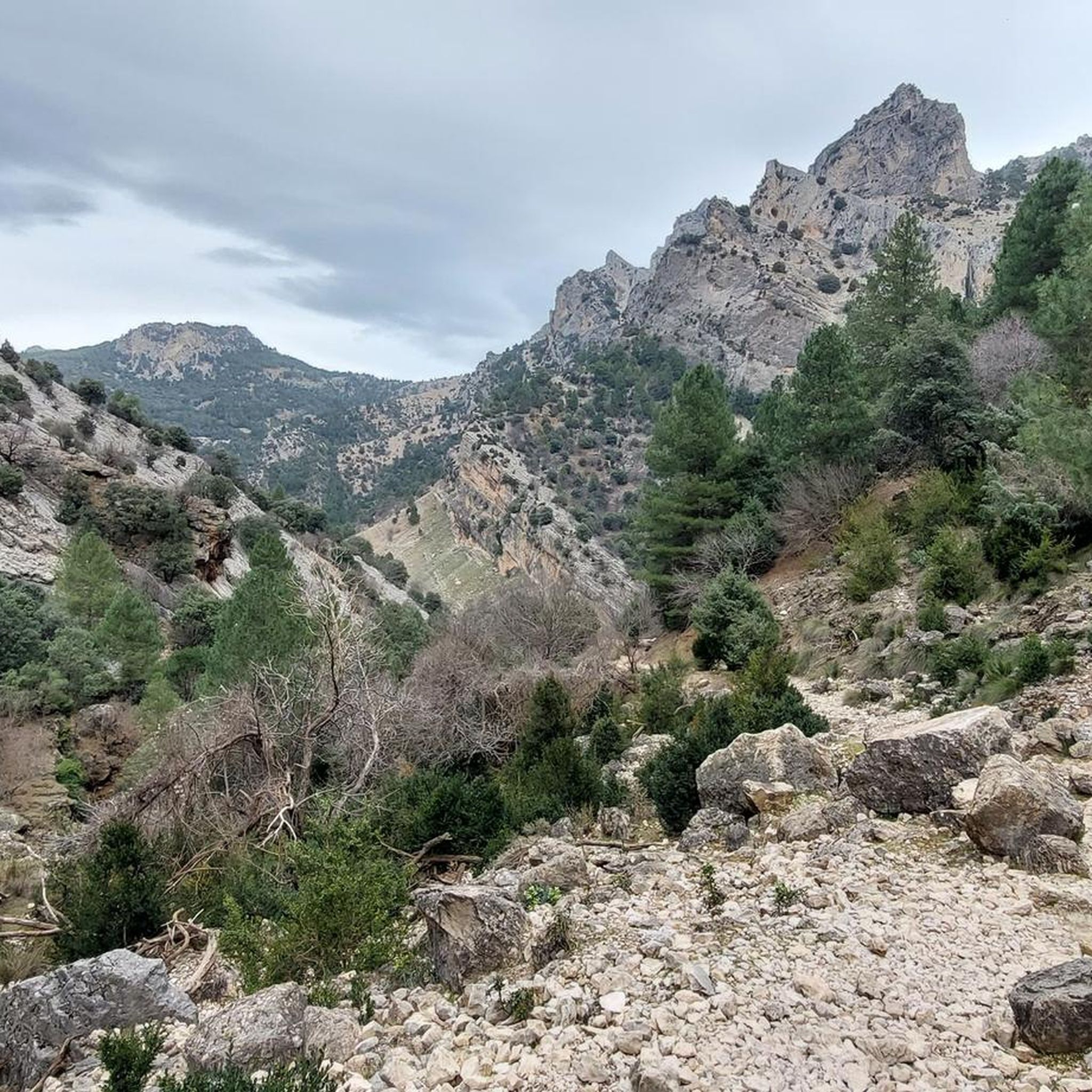
Running Trails around Santiago-Pontones
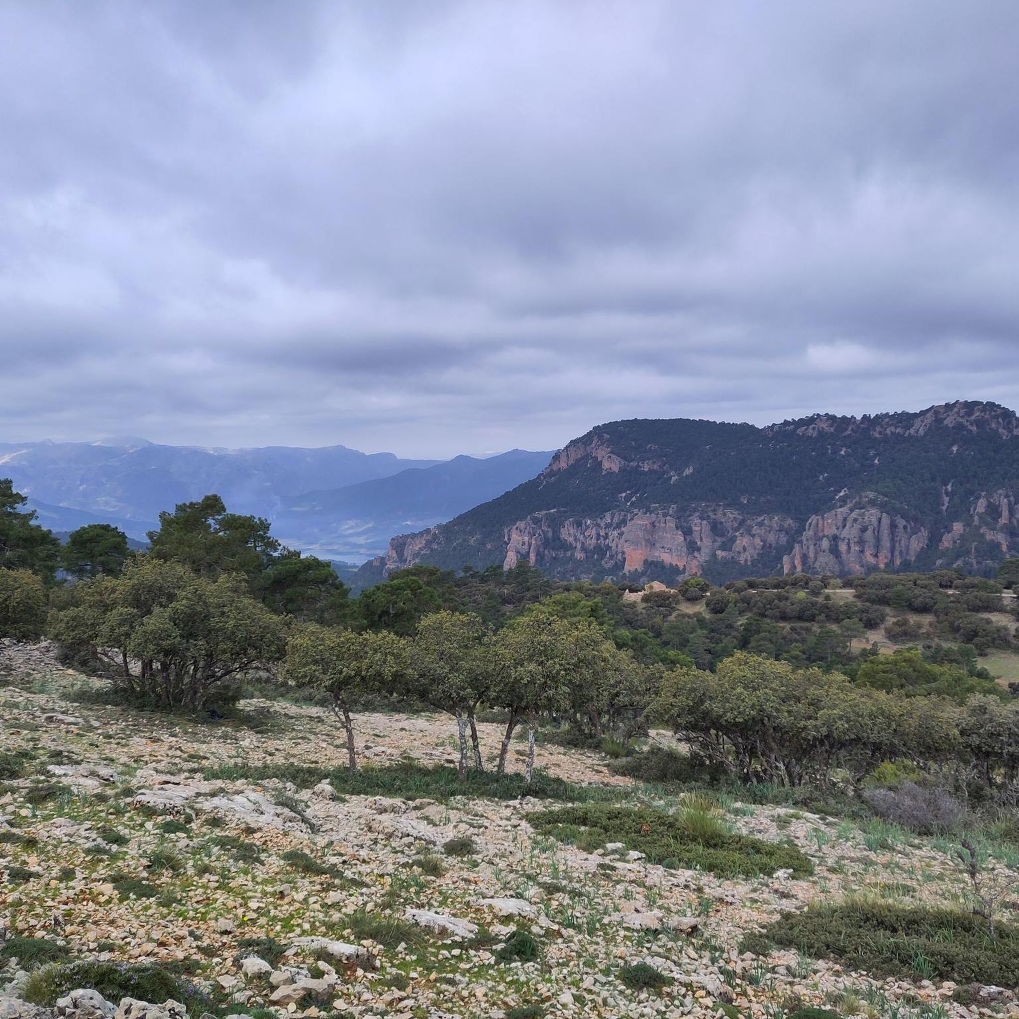
Running Trails around Segura De La Sierra
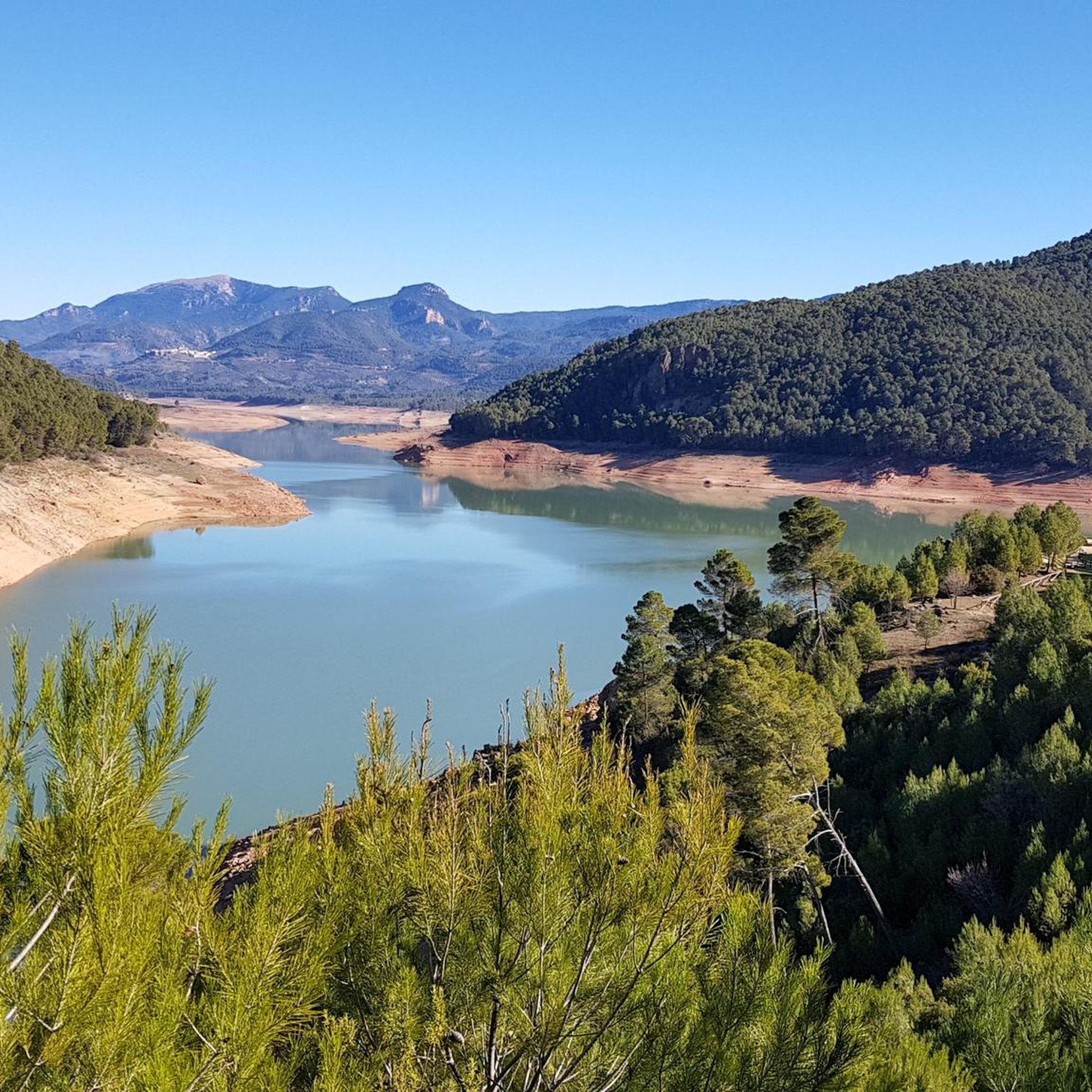
Running Trails around Hornos
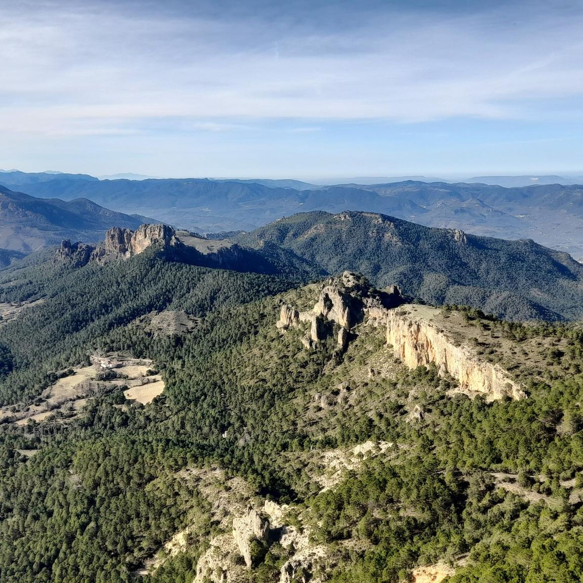
Running Trails around Orcera
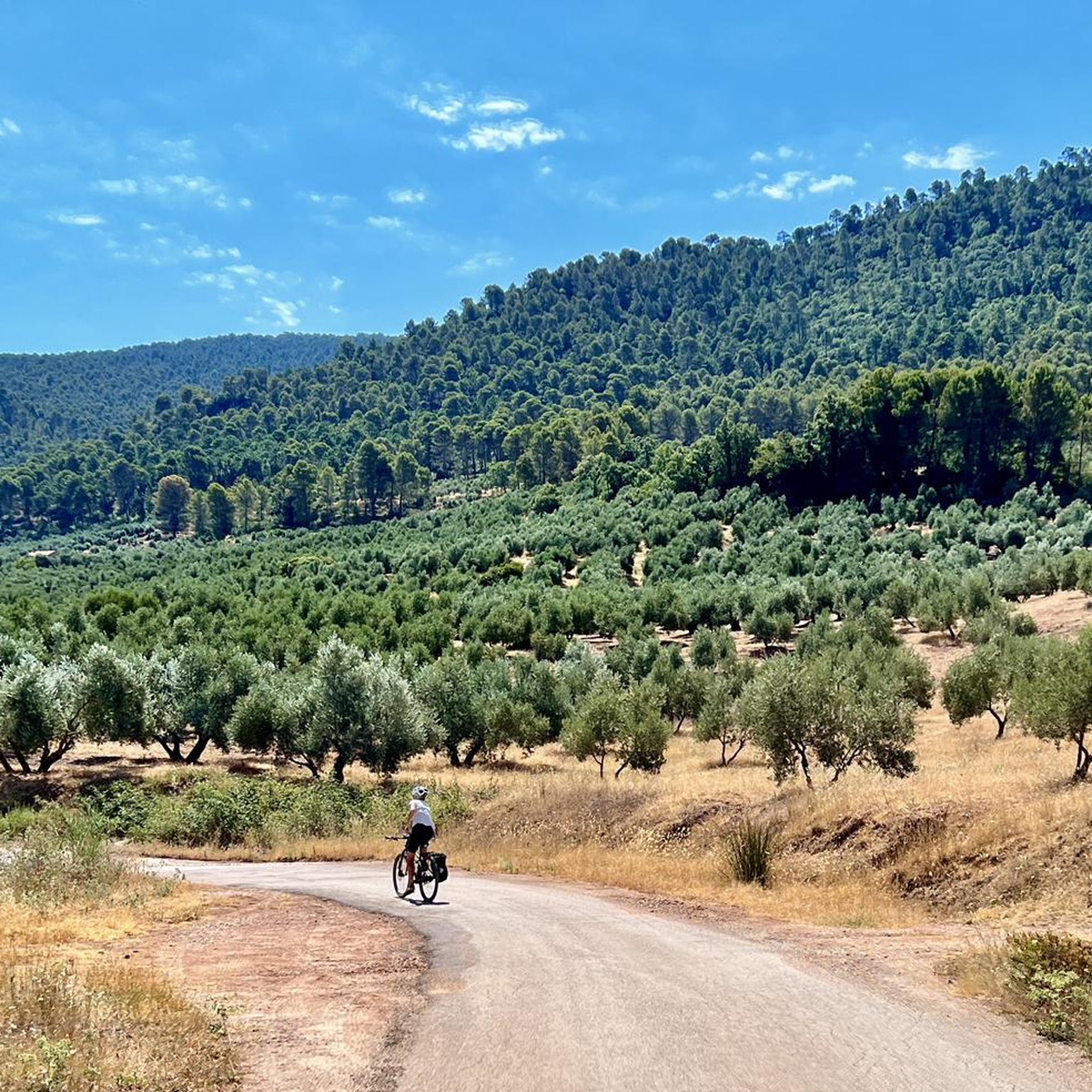
Running Trails around Siles
Running Trails around Torres De Albánchez

Running Trails around La Puerta De Segura
Other adventures around Sierra De Segura


Tips from the Community

The trail (PR) leading there is very poorly maintained and frankly difficult to follow in places. I also saw no markings (apart from two old wooden signs). A shame.
0
0

Beautiful trail in a narrow canyon formed by the river.
1
0

Pico Mentiras is one of the highest peaks in the Sierra de Segura, reaching an altitude of 1,896 metres. It is located in Calar de la Sima, within the Calares del Mundo y de la Sima Natural Park. The most common route to climb Pico Mentiras starts from the village of Arguellite.
6
0
La Peña Palomera is an impressive peak located in the Sierra de Segura, near Yeste. It is located in the Calar de la Sima, a mountain formation that extends between the provinces of Albacete and Jaén. One of the most popular routes starts from the village of Arguellite and offers a circular route of approximately 21.9 km with a gradient of 1,040 metres.
6
0
The Cueva del Agua in Santiago-Pontones is an impressive karst formation located in the Sierra de Segura, in Jaén. This cave is known for its natural beauty and spectacular surroundings, which include waterfalls and rich vegetation.
5
0

Beautiful village on the GR7 hiking trail
5
0

The town is the head of the region and is the last town in the province of Jaén. After the unification with the village of Pontón Bajo and Alto, it is called Santiago-Pontones, sharing the Town Hall.
4
0

Santiago de la Espada is a town belonging to the municipality of Santiago-Pontones, Jaén (Spain). It was an independent municipality until 1975 when it merged with the town of Pontones. It is located southeast of the Sierra de Segura region. It borders the provinces of Albacete (north) and Granada (south). It has 1492 inhabitants and is located at 1340 m high. Its name is Hornillero because in the Middle Ages there was an oven in which some shepherds from the mountains of Cuenca met to found what would become “El Hornillo”. Although the most commonly used by the inhabitants of the area is that of Santiago.
24
0
Frequently Asked Questions
How many running routes are available in Sierra de Segura?
The Sierra de Segura region offers a diverse selection of over 20 running routes, catering to various skill levels. While most are challenging, there are also moderate options available for those looking for a less strenuous run.
Are there easy running routes suitable for beginners in Sierra de Segura?
While the majority of routes in Sierra de Segura are classified as difficult due to the mountainous terrain, there are 4 moderate routes available. For example, the Running loop from Segura de la Sierra is a moderate 7.8 km (4.8 miles) path, offering a good option for those seeking a less demanding experience.
Can I find circular running routes in the Sierra de Segura region?
Yes, Sierra de Segura features several excellent circular running routes. Popular options include Charco del humo and cueva del agua from Pontones, a challenging 16.9 km (10.5 miles) loop, and Cerro de la Buitrera from la Puerta de Segura, a 12.7 km (7.9 miles) trail through varied mountain terrain.
What kind of terrain can I expect on the running trails in Sierra de Segura?
The running trails in Sierra de Segura are characterized by rugged mountains, deep gorges, and extensive pine forests. As part of a UNESCO Biosphere Reserve, you'll encounter diverse landscapes, from challenging ascents to paths alongside rivers and through woodlands. The terrain often features karstic formations and varied elevations, providing a dynamic running experience.
Are there any notable natural attractions or landmarks to see while running?
Absolutely! Sierra de Segura is rich in natural beauty. You can encounter stunning features like the dramatic Salto de los Órganos Waterfall, explore geological formations such as the Cueva del Agua, or run near the Source of the Segura River. The region also boasts impressive peaks like El Yelmo Summit (1,808 m), offering breathtaking views.
Is Sierra de Segura a good place for family-friendly jogging?
While many routes are challenging, the diverse natural park offers opportunities for families. Look for shorter, moderate trails or explore areas with less elevation gain. The natural beauty and varied flora and fauna can make for an engaging outdoor experience for all ages, even if not all routes are suitable for young children.
Are dogs allowed on the running trails in Sierra de Segura?
As part of the Sierras de Cazorla, Segura y Las Villas Natural Park, specific regulations apply to dogs. Generally, dogs are permitted on trails but must be kept on a leash to protect wildlife and ensure the safety of other visitors. Always check local signage or park authority guidelines for any specific restrictions in certain areas.
What is the best time of year to go jogging in Sierra de Segura?
Sierra de Segura offers year-round opportunities, but the best time often depends on your preference. Spring and autumn provide pleasant temperatures and vibrant scenery. During warmer months, the extensive woodlands offer shaded trails, which can be particularly appealing. Winter running is also possible, though higher elevations may experience colder conditions and occasional snow.
Are there options for parking near the trailheads in Sierra de Segura?
Yes, many popular trailheads and access points within the Sierra de Segura region offer parking facilities. Given the area's popularity for outdoor activities, efforts are made to provide convenient access. It's always advisable to check specific route details on komoot for information on parking availability at your chosen starting point.
How can I reach the running trails in Sierra de Segura using public transport?
Access to the more remote trailheads within Sierra de Segura, especially deep within the Natural Park, can be limited by public transport. While some villages and towns in the region may have bus services, reaching specific starting points for running trails often requires personal transport. Planning ahead and checking local transport schedules is recommended.
What do other runners appreciate most about the trails in Sierra de Segura?
The running routes in Sierra de Segura are highly rated by the komoot community, with an average score of 4.0 stars. Reviewers often praise the stunning natural beauty, varied and challenging terrain, and the opportunity to immerse themselves in a UNESCO Biosphere Reserve. The diverse landscapes, from rugged mountains to serene river valleys, are frequently highlighted as major draws.
Are there any challenging routes for experienced trail runners?
Absolutely. Sierra de Segura is renowned for its challenging routes, with 18 out of 22 listed trails being difficult. Routes like El Yelmo - trail running, an 18.9 km (11.8 miles) trail with significant elevation gain, or Cueva del Agua loop from La Matea, a demanding 46.8 km (29.1 miles) route, offer substantial tests for experienced trail runners.
Can I find routes that feature water elements like rivers or reservoirs?
Yes, the region is the source of the Guadalquivir and Segura rivers and features an extensive hydrographic network. You can find routes that run alongside these rivers, explore gorges, and even pass by the Tranco reservoir. The Charco del humo and cueva del agua from Pontones route, for instance, explores river valleys and geological features related to water.
Most popular routes around Sierra De Segura
Most popular attractions around Sierra De Segura

Get inspired with the komoot mobile app


Didn’t find what you were looking for?
Check out more Running Trails & Routes throughout Sierra De Segura below and find the perfect route in your destination.
Explore more
Browse the best Running Trails & Routes in other regions.
