Top 17 Natural Monuments around Uvernet-Fours
Best natural monuments around Uvernet-Fours are found in the Alpes-de-Haute-Provence department of France. The municipality is situated at the entrance to the Bachelard Gorges and at the foot of the Col de la Cayolle and Col d'Allos. Nearly half of Uvernet-Fours lies within the Mercantour National Park, preserving a mountain environment. This region offers diverse landscapes, including high-altitude lakes, mountain passes, and dramatic gorges.
Best natural monuments around Uvernet-Fours
- The most popular natural monuments is Cayolle Pass, a mountain…
Last updated: July 4, 2026
Cayolle Pass
Highlight • Mountain Pass
Translated by Google •
Tip by

Champs Pass
Highlight • Viewpoint
Translated by Google •
Tip by

Sign up now to discover places like this
Get recommendations on the best single tracks, peaks, & plenty of other exciting outdoor places.
Sign up for free
Moutière Pass
Highlight • Mountain Pass
More information: quaeldich.de/paesse/col-de-la-moutiere and de.wikipedia.org/wiki/Col_de_la_Mouti%C3%A8re
Translated by Google •
Tip by

Col de la Bonette
Highlight • Mountain Pass
Tip by

Lac des Sagnes
Highlight • Lake
Translated by Google •
Tip by
Sign up for free to discover even more natural monuments around Uvernet-Fours.
Sign up for free
Already have an account?
Start today with a free account
Your next adventure awaits.
Login or Signup
Popular around Uvernet-Fours

Transalps MTB – Chamonix to the Mediterranean Sea
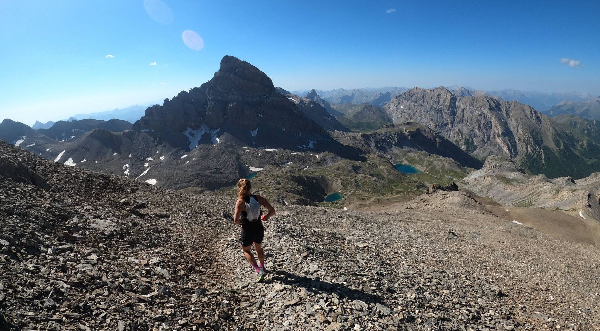
Trail running in the mountain peaks from Barcelonnette
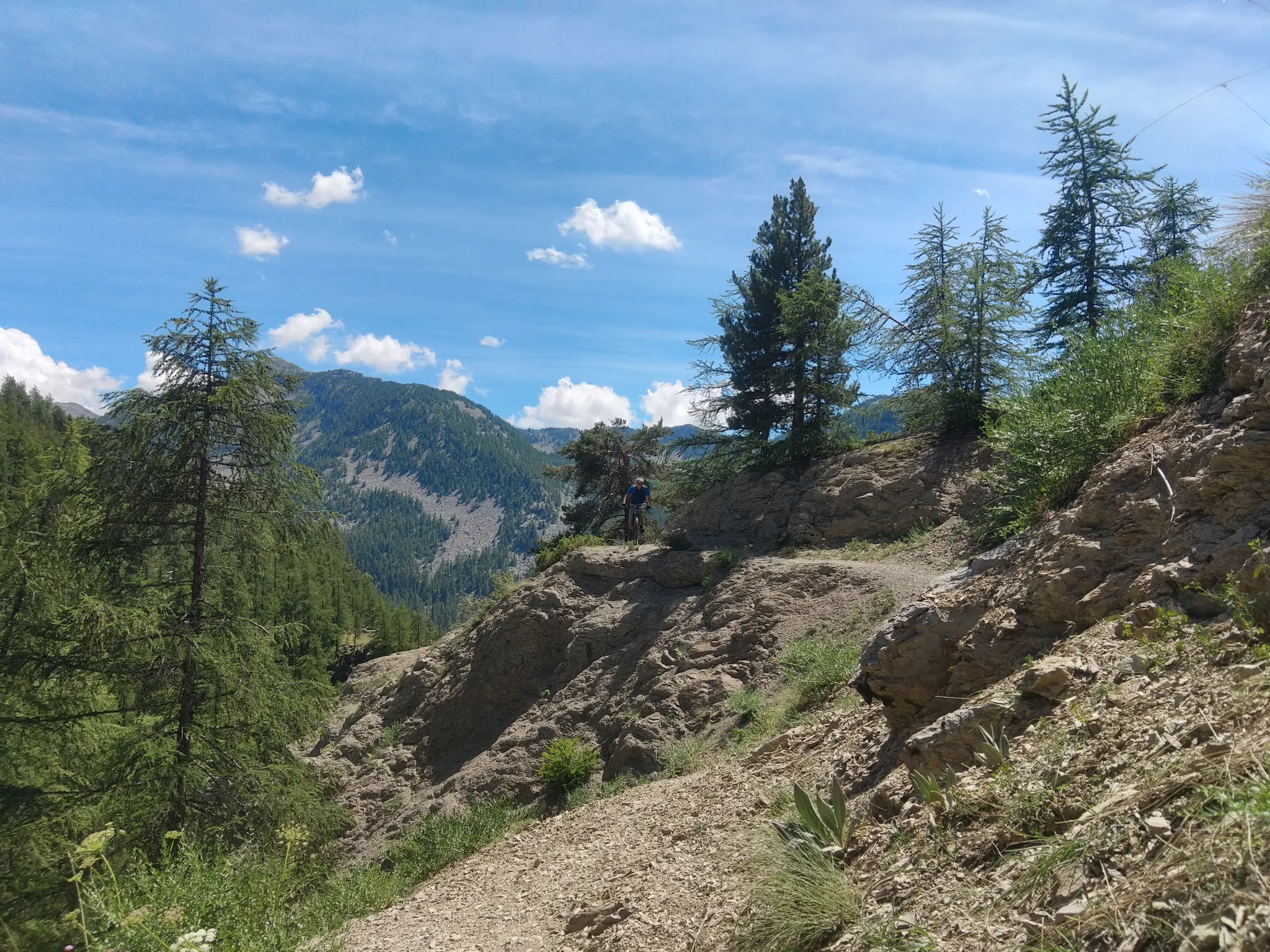
In the shadow of Europe's largest canyon – the TransVerdon

Mountains and marmots — France’s Ubaye trail (GR 56)

MigrAction – Generations in Motion
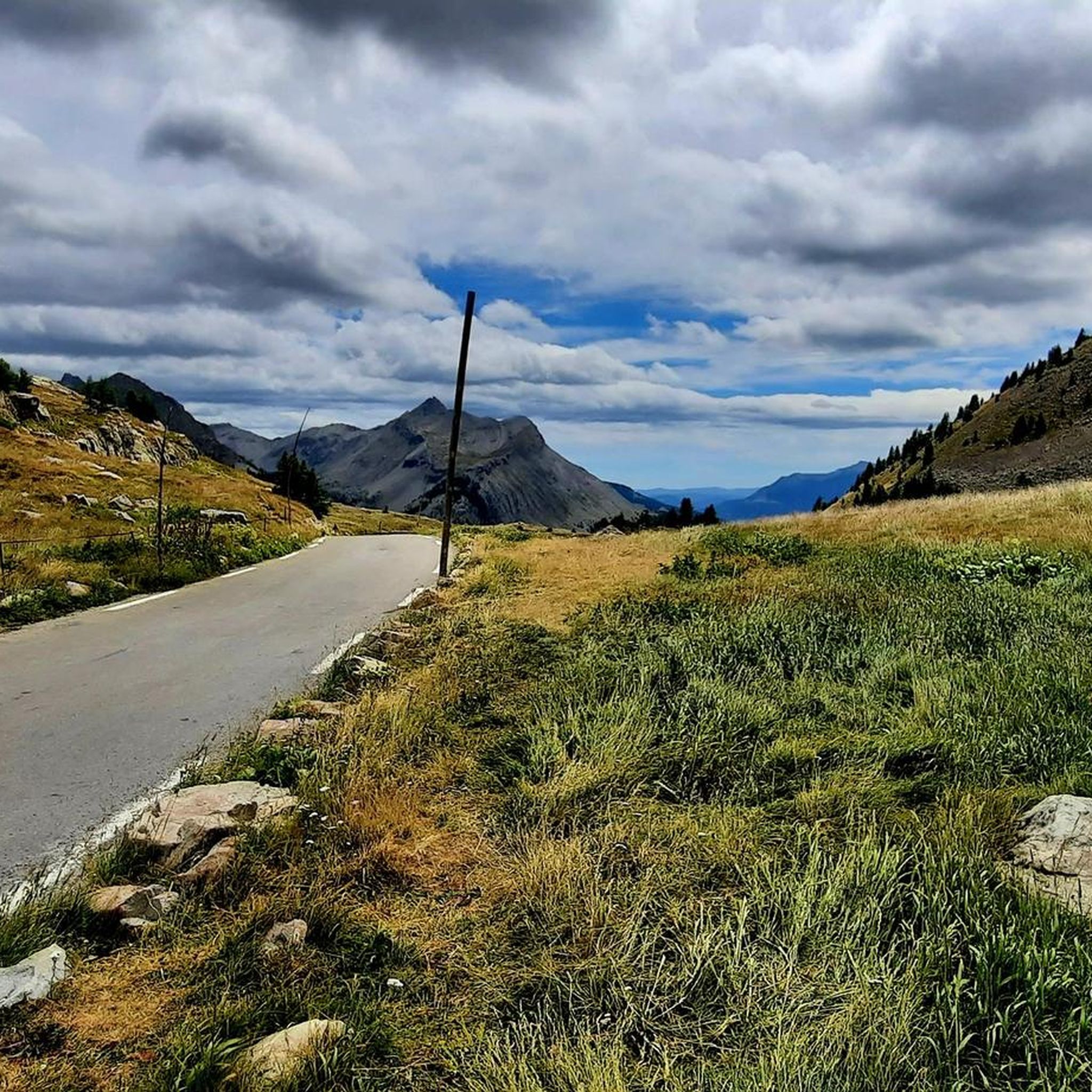
Road Cycling Routes around Uvernet-Fours
Hiking around Uvernet-Fours
Cycling around Uvernet-Fours
MTB Trails around Uvernet-Fours
Running Trails around Uvernet-Fours
Other adventures around Uvernet-Fours


Tips from the Community

I rode up to the Col de Moutiere from Saint Etienne via Saint Dalmas, and then took the 3km of gravel road link to the Col de la Bonette. I returned to Saint Etienne via the more classic D64. It makes for a much quieter, wilder and steeper ascent, with a better (but busier) road surface and more gradual decline for the D64 descent. Also this way it's a loop and you see more of the incredible scenery. The 3km gravel section is very doable with my moutain bike (i would rate it as a 'blue'). I didnt need to carry or push the bike even though some parts were boken up by small water crossings. I was overtaken by a motorbike at one point. Be careful of the weather here, especially the potentially violent afternoon thunderstorms. There is no shelter nearby
0
0

If there were a ranking of the most beautiful, undiscovered Alpine passes in the cycling world, the Moutière would certainly be a contender. Starting from Saint-Dalmas-le-Selvage, the climb through the valleys of Sestrière and Sagnas is simply sublime.
1
0

Gorgeous pass with very little traffic and perfect asphalt.
18
0
A long climb but never too difficult, the views are stunning.
17
0
Very long climb with wonderful views.
16
0
A very long climb with little traffic, the asphalt is in perfect condition and the gradients are never too steep.
15
0

Beautiful plateau where you can stop for a picnic
0
0

The Col de la Moutière is located in Provence-Alpes-Cote d'Azur. This climb is part of the Alps. From Saint Etienne de Tinée, the Col de la Moutière is 18.3 km long. Over this distance 1300 altimeters are bridged. The average slope of the rise is, therefore, 7.1%. You can check the current traffic and winter situation on the Col de la Moutière in Provence-Alpes-Cote d'Azur on Bison futé.
1
0
Frequently Asked Questions
What are some of the most notable mountain passes to explore in the Uvernet-Fours area?
The region is renowned for its impressive mountain passes. You can explore the Cayolle Pass, which offers a remarkable panorama at over 2,324 meters. Other significant passes include the Champs Pass, known for its stunning views and quiet roads, and the Moutière Pass, an unpaved alpine pass with spectacular views of surrounding peaks. The Col de la Bonette is also a must-do for its dreamlike landscape.
Are there any high-altitude lakes worth visiting near Uvernet-Fours?
Yes, the area boasts beautiful high-altitude lakes. Lake Allos, located at 2,230 meters within the Mercantour National Park, is Europe's largest natural high-altitude lake, offering pristine turquoise waters and opportunities for wildlife spotting. Lake Sainte-Marguerite is another superb option, ideal for family-friendly hikes and picnics.
What kind of natural landscapes can I expect to see in the Bachelard Gorges?
The Bachelard Gorges, situated at the entrance to Uvernet-Fours, offer a dramatic and rugged landscape carved by the Bachelard torrent. This area is known for its unique geological features, providing adventurous hikes and close encounters with the powerful natural forces that have sculpted the terrain over time. It's protected from winds and enjoys generous sunshine, making it explorable throughout the year.
What outdoor activities can I do near the natural monuments around Uvernet-Fours?
The region offers a wide range of outdoor activities. You can enjoy extensive hiking trails, from easy loops to challenging alpine routes, especially within the Mercantour National Park. Cycling is popular on the scenic mountain passes like Col de la Cayolle and Col d'Allos. For more challenging adventures, there are also mountain hikes available.
Are there family-friendly natural monuments or activities in Uvernet-Fours?
Yes, Lake Sainte-Marguerite is an excellent family-friendly destination, perfect for picnics and easy walks where you might spot marmots. Many trails within the Mercantour National Park also offer accessible sections suitable for families, allowing children to experience the natural beauty and wildlife.
Can I bring my dog to the natural monuments and trails in the Uvernet-Fours region?
Generally, dogs are allowed on many trails, but specific rules may apply, especially within the Mercantour National Park where wildlife protection is paramount. When hiking near areas with marmots or herds, it's advisable to keep dogs on a leash to ensure the safety of both your pet and the local fauna. Always check local regulations for specific sites.
What is the best time to visit the natural monuments around Uvernet-Fours?
The best time to visit largely depends on your preferred activities. Summer (June to September) is ideal for hiking and cycling, with pleasant weather and all passes typically open. Spring offers lush greenery and blooming wildflowers, while autumn provides stunning fall foliage. Winter transforms the landscape into a snowy wonderland, suitable for snowshoeing or cross-country skiing, though some high-altitude passes may be closed.
What kind of wildlife can I expect to see in the Mercantour National Park?
The Mercantour National Park is a sanctuary of biodiversity. You might spot emblematic animals such as wolves, bearded vultures, chamois, and golden eagles. The park is also home to marmots, especially around lakes like Allos and Sainte-Marguerite, and a vast array of over 2,000 plant species, many of which are protected.
Are there any viewpoints offering panoramic vistas of the region?
Absolutely. The mountain passes are prime locations for panoramic views. The Cayolle Pass and Champs Pass offer incredible landscapes. For a 360-degree panorama, consider hiking to the Tête de la Sestrière, which provides superb views of the Laverq and Agneliers valleys and surrounding peaks.
What makes the Mercantour National Park a significant natural monument in itself?
Nearly half of Uvernet-Fours lies within the Mercantour National Park, making it a monumental natural attraction. It's a living sanctuary of biodiversity, encompassing lakes, waterfalls, and numerous peaks over 3,000 meters. The park's commitment to preserving a fragile mountain environment, coupled with its diverse natural settings and rich cultural and geological heritage, makes it a truly valuable destination for experiencing a preserved alpine environment.
Are there easy hiking trails suitable for beginners near Uvernet-Fours?
Yes, there are several easy hiking options. For instance, the Stone Shelter – Lake Pra Loup loop from Uvernet is an easy 5 km hike. The area around Lake Sainte-Marguerite also offers gentle paths perfect for a leisurely stroll.
Where can I find parking near the natural monuments?
Parking is generally available at the starting points of popular trails and near major natural monuments like Lake Allos and the mountain passes. For example, there's parking available for the Lake Allos – Lac d'Allos Refuge loop from Parking de La Chaup. It's always recommended to check specific access points and parking availability before your visit, especially during peak season.
Most popular routes around Uvernet-Fours
Most popular attractions around Uvernet-Fours

Get inspired with the komoot mobile app


Explore more
Extend your search for the best caves by checking out these guides of the top ones around Uvernet-Fours:
