The best traffic-free bike rides around Uvernet-Fours
4.7
(337)
21,275
riders
4
rides
No traffic road cycling routes around Uvernet-Fours are set within the dramatic landscapes of the Ubaye Valley, bordering the Mercantour National Park in the French Alps. The region is characterized by high mountain passes, deep gorges, and alpine meadows, offering challenging ascents and scenic descents. Road cyclists navigate routes that traverse significant elevation changes, providing panoramic views of the surrounding peaks and valleys.
Best no traffic road cycling routes around Uvernet-Fours
- The most popular no traffic road cycling route is…
Last updated: July 18, 2026
4.8
(4)
94
riders
28.8km
01:50
740m
740m
Moderate road ride. Good fitness required. Mostly well-paved surfaces and easy to ride.
5.0
(1)
51
riders
33.1km
02:17
1,120m
1,110m
Hard road ride. Very good fitness required. Some segments of this route may be unpaved and difficult to ride.

Sign up for free
8
riders
11.7km
00:51
370m
370m
Moderate road ride. Good fitness required. Mostly well-paved surfaces and easy to ride.
5
riders
14.4km
01:09
450m
450m
Moderate road ride. Good fitness required. Some segments of this route may be unpaved and difficult to ride.
7
riders
22.5km
01:45
940m
940m
Hard road ride. Very good fitness required. Mostly well-paved surfaces and easy to ride.
Our route recommendations are based on thousands of hikes, rides, and runs completed by other people on komoot.
Start today with a free account
Your next adventure awaits.
Login or Signup
Popular around Uvernet-Fours

Transalps MTB – Chamonix to the Mediterranean Sea
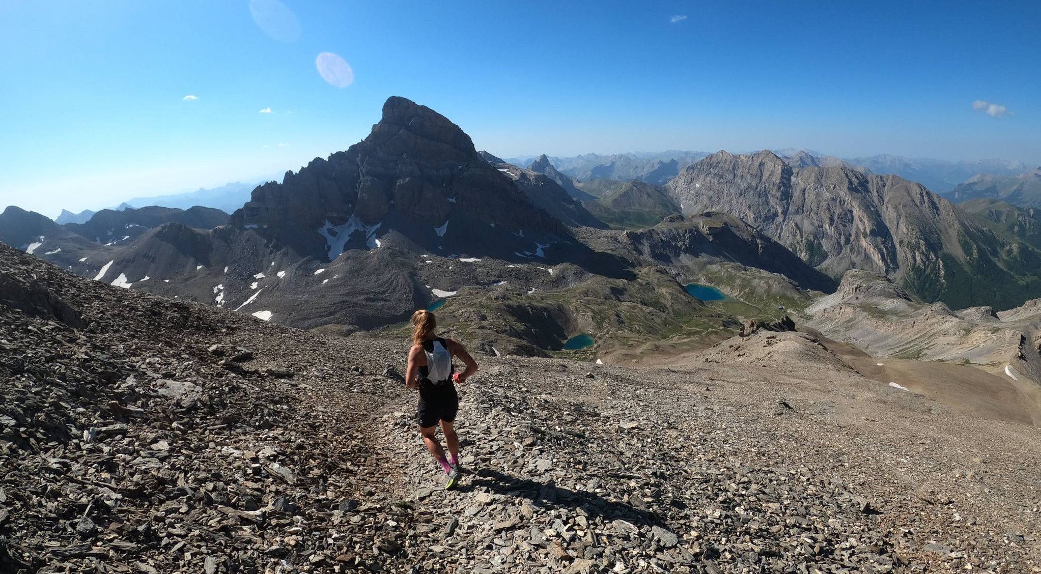
Trail running in the mountain peaks from Barcelonnette
In the shadow of Europe's largest canyon – the TransVerdon

Mountains and marmots — France’s Ubaye trail (GR 56)

MigrAction – Generations in Motion
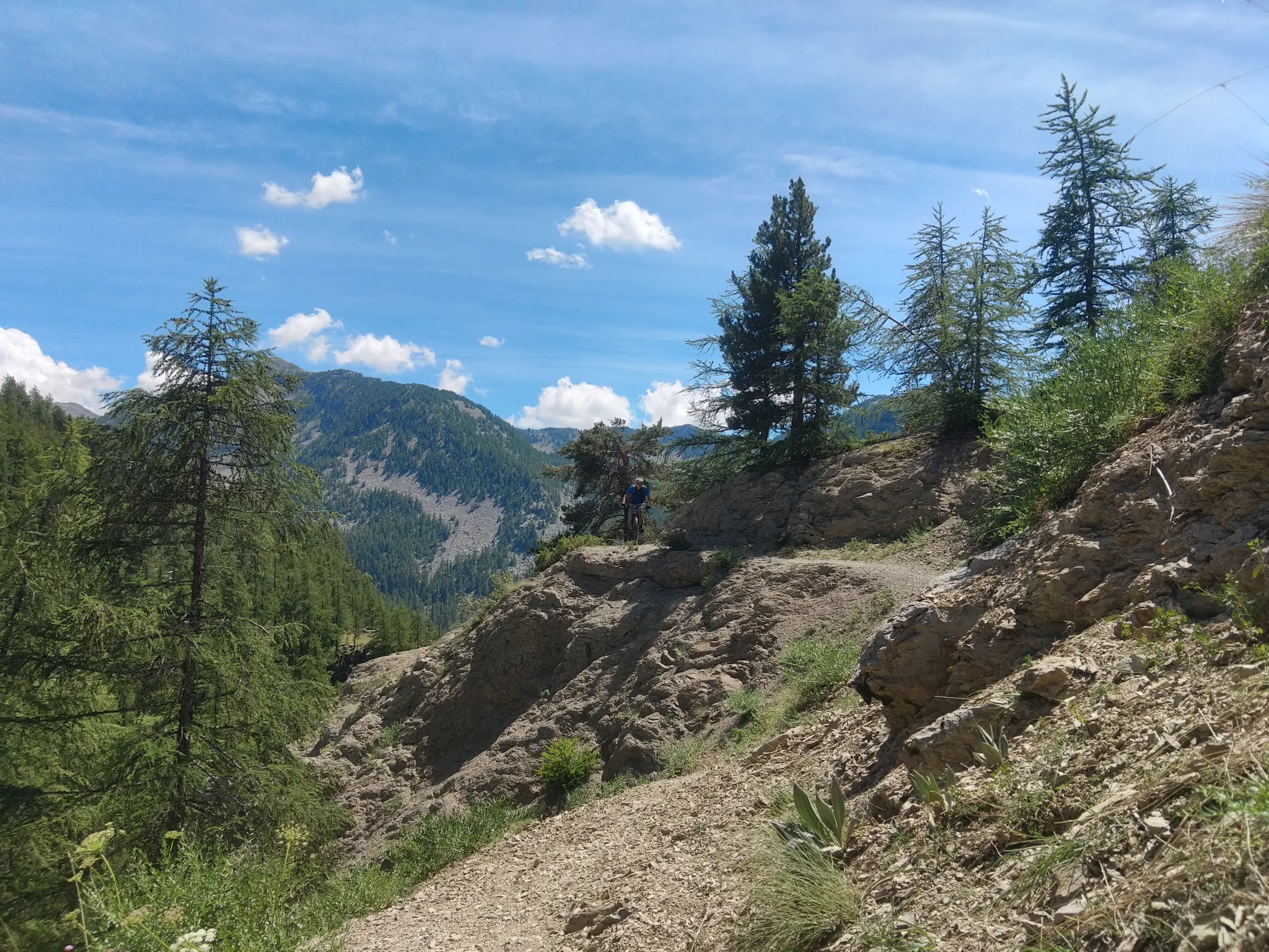
Traffic-free bike rides around Uvernet-Fours

Traffic-free bike rides around Uvernet-Fours
Other adventures around Uvernet-Fours


Tips from the Community

I rode up to the Col de Moutiere from Saint Etienne via Saint Dalmas, and then took the 3km of gravel road link to the Col de la Bonette. I returned to Saint Etienne via the more classic D64. It makes for a much quieter, wilder and steeper ascent, with a better (but busier) road surface and more gradual decline for the D64 descent. Also this way it's a loop and you see more of the incredible scenery. The 3km gravel section is very doable with my moutain bike (i would rate it as a 'blue'). I didnt need to carry or push the bike even though some parts were boken up by small water crossings. I was overtaken by a motorbike at one point. Be careful of the weather here, especially the potentially violent afternoon thunderstorms. There is no shelter nearby
0
0

A TRUE GATEWAY TO WILD YET TAMED NATURE AND MAJESTIC MOUNTAIN PASSES
0
0

If there were a ranking of the most beautiful, undiscovered Alpine passes in the cycling world, the Moutière would certainly be a contender. Starting from Saint-Dalmas-le-Selvage, the climb through the valleys of Sestrière and Sagnas is simply sublime.
1
0

Please note that the Col d'Allos is closed even to cyclists due to major roadworks.
0
0

The Col des Champs is a mountain pass with an altitude of 2,087 meters and connects Haute-Provence with the Alpes-Maritimes, all within the Mercantour National Park. The pass is part of the so-called Route des Trois Cols, an interesting circular route with three passes above 2,000 meters. This route connects the Col d'Allos with the Col de la Cayolle via this pass, thus linking the Allos Valley (Haute-Verdon) with the Var Valley. Its two slopes share the ruggedness of a major Alpine pass.
0
0

When it was created in 1878, the Parc de La Sapinière occupied a vast plot of nearly 5 ha that included the current avenue Porfirio Diaz (formerly La Galopine) and its subdivision of villas. The farmhouse of La Sapinière was located on the current site of the residence La Sousta. Having become the property of Antoine Signoret (1895), the Parc de La Sapinière was reduced and divided into lots. The former allée La Galopine became, in September 1907, the avenue Porfirio Diaz, and accommodated no less than four villas including the spectacular Villa Bleue (1929). Reduced to 14,500 m2, its new surface area nevertheless remains one of the largest among the gardens of the villas built on their return from Mexico. Like the parks belonging to the first generation of villas (1870-1890), that of La Sapinière was first and foremost a rustic, nourishing garden, for which the best fruit trees were selected and vegetable plants were gathered in a considerable area: English Reinette apple trees, white court-pendu, chestnut, Bon-Chrétien pear trees, Carmelite lemon, soldier ploughman, Ohio beauty cherry... Access to the farmhouse (also called rustic house) was carefully organized by a head of cultivation who came specially from Grenoble (Pépinières Paul de Mortillet (La Tronche-Isère). "As a border for the path leading to the rustic house, we recommend as rustic plants, if it is partly shaded: ivy and periwinkle especially. For part exposed to the sun: variegated couch grass, ribbon phalaris, blue fescue, vine plumbago, etc. Not forgetting the rose bushes “which also make strong and pretty borders”.
4
0

Beautiful little town with a great pedestrian zone
2
0

Gorgeous pass with very little traffic and perfect asphalt.
18
0
Frequently Asked Questions
How many no traffic road cycling routes are available in Uvernet-Fours?
There are several dedicated no traffic road cycling routes around Uvernet-Fours. This guide features 3 routes, ranging from moderate to difficult, offering diverse experiences for cyclists.
What is the typical difficulty level of no traffic road cycling routes in Uvernet-Fours?
The no traffic road cycling routes in Uvernet-Fours are generally suited for experienced cyclists. This guide includes 2 moderate routes and 1 difficult route, reflecting the challenging alpine terrain of the Ubaye Valley.
Are there circular no traffic road cycling routes available?
Yes, many of the no traffic road cycling routes in Uvernet-Fours are designed as loops, allowing you to start and finish in the same location. For example, you can explore the Barcelonnette – Barcelonnette loop or the challenging Col des Champs – Saint Martin loop.
What natural features or landmarks can I expect to see along these routes?
The routes offer breathtaking scenery. You'll encounter dramatic landscapes like the Gorges du Bachelard on the approach to Col de la Cayolle, and stunning alpine pastures around the Col des Champs. The region is also home to beautiful lakes such as Lake Sainte-Marguerite and Lake Allos, both within the Mercantour National Park.
When is the best time of year to cycle these no traffic routes in Uvernet-Fours?
The best time to cycle these alpine routes is typically from late spring to early autumn, generally June through September, when the high mountain passes are clear of snow. Notably, in July and August, the Col d'Allos is exclusively open to bicycles on Friday mornings, enhancing the car-free experience.
Are there any family-friendly no traffic road cycling options?
While many routes in Uvernet-Fours involve significant climbs and are geared towards experienced cyclists, some sections or shorter loops around towns like Barcelonnette, such as the Barcelonnette – Faucon-de-Barcelonnette loop, might be more manageable for families with older, experienced children. Always check the route's elevation and distance carefully.
Can I bring my dog on these road cycling routes?
Road cycling routes, especially those in mountainous terrain, are generally not ideal for dogs due to the sustained effort required and potential hazards. If you wish to explore the region with your dog, consider hiking trails in the Mercantour National Park, where dogs are often permitted on leash in certain areas.
Where can I park my car when starting these no traffic road cycling routes?
Parking is generally available in the main villages and towns such as Barcelonnette, which serves as a common starting point for many routes. For routes like the Col des Champs – Saint Martin loop, you might find parking options near the Col des Champs itself or in nearby hamlets.
Is public transport available to access these routes with a bike?
Public transport options in the high Alps can be limited, especially for carrying bikes. While some regional bus services might operate, it's advisable to check their specific policies regarding bicycles in advance. Many cyclists choose to drive to a starting point like Barcelonnette.
What do other road cyclists enjoy most about no traffic road cycling in Uvernet-Fours?
The komoot community highly rates the cycling experience in Uvernet-Fours, with an average score of 4.75 stars. Reviewers often praise the region's stunning alpine scenery, the challenge of its famous mountain passes, and the sense of tranquility found on less-trafficked roads like those around the Col des Champs, offering a truly immersive outdoor adventure.
Are any of the famous 'Trois Cols' included in these no traffic routes?
Yes, the region is renowned for its iconic mountain passes. While the full 'Trois Cols' loop (Col de la Cayolle, Col d'Allos, Col des Champs) is a major undertaking, individual routes like the Col des Champs – Saint Martin loop offer a taste of these legendary climbs. The Col d'Allos also has specific car-free days in summer, enhancing the no-traffic experience.
Are there places to eat or stay near these no traffic road cycling routes?
Yes, you'll find various amenities in the main towns like Barcelonnette. Along the routes, especially near the cols, there are also mountain huts and refuges. For example, the Refuge du col d’Allos offers a place to rest and refuel. Charming hamlets like Fours and Bayasse also provide opportunities for a break.
Most popular routes around Uvernet-Fours
Most popular attractions around Uvernet-Fours

Get inspired with the komoot mobile app


Explore more
Browse the best Road cycling routes in other regions.
