The best road cycling routes around Uvernet-Fours
4.7
(345)
21,753
riders
71
rides
Road cycling routes around Uvernet-Fours are characterized by dramatic Alpine terrain and high mountain passes within the Mercantour National Park and Ubaye Valley. The region features challenging paved roads, including some of the highest in France, offering significant elevation gains. Cyclists encounter varied landscapes, from shaded forests and charming alpine villages to exposed, rugged mountain slopes. Road surfaces are generally well-maintained, supporting routes that demand excellent fitness.
Best road cycling routes around Uvernet-Fours
- The most popular road cycling route is…
Last updated: July 13, 2026
4.9
(61)
3,949
riders
67.6km
04:05
1,710m
1,710m
Hard road ride. Very good fitness required. Mostly well-paved surfaces and easy to ride.
4.8
(17)
1,882
riders
128km
07:45
3,410m
3,410m
The Col d'Allos from Barcelonnette - Pelat Massif is a difficult 79.8-mile road cycling route with 11202 feet of elevation gain.

Sign up for free
4.8
(12)
1,376
riders
123km
06:37
2,380m
2,380m
Tackle the difficult 76.5-mile Col de Vars - Massif de Parpaillon road cycling route, climbing 7806 feet through the Southern Alps.
4.6
(18)
925
riders
64.0km
03:16
1,080m
1,080m
Hard road ride. Very good fitness required. Mostly well-paved surfaces and easy to ride.
4.3
(13)
613
riders
45.1km
02:30
990m
990m
Hard road ride. Very good fitness required. Mostly well-paved surfaces and easy to ride.
Get access to more routes and recommendations from other explorers.
Sign up for free
Already have an account?
Our route recommendations are based on thousands of hikes, rides, and runs completed by other people on komoot.
Start today with a free account
Your next adventure awaits.
Login or Signup
Popular around Uvernet-Fours

Transalps MTB – Chamonix to the Mediterranean Sea
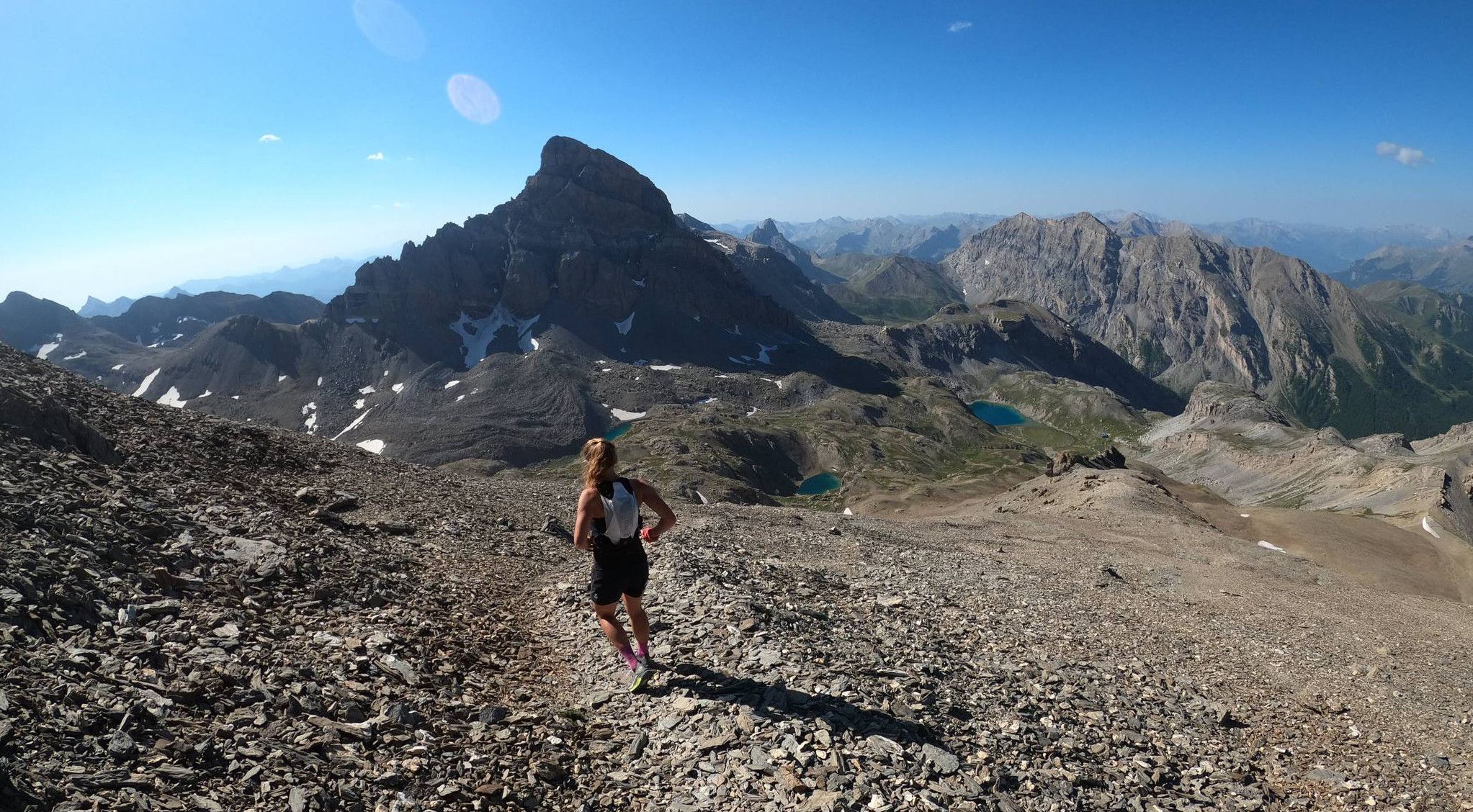
Trail running in the mountain peaks from Barcelonnette
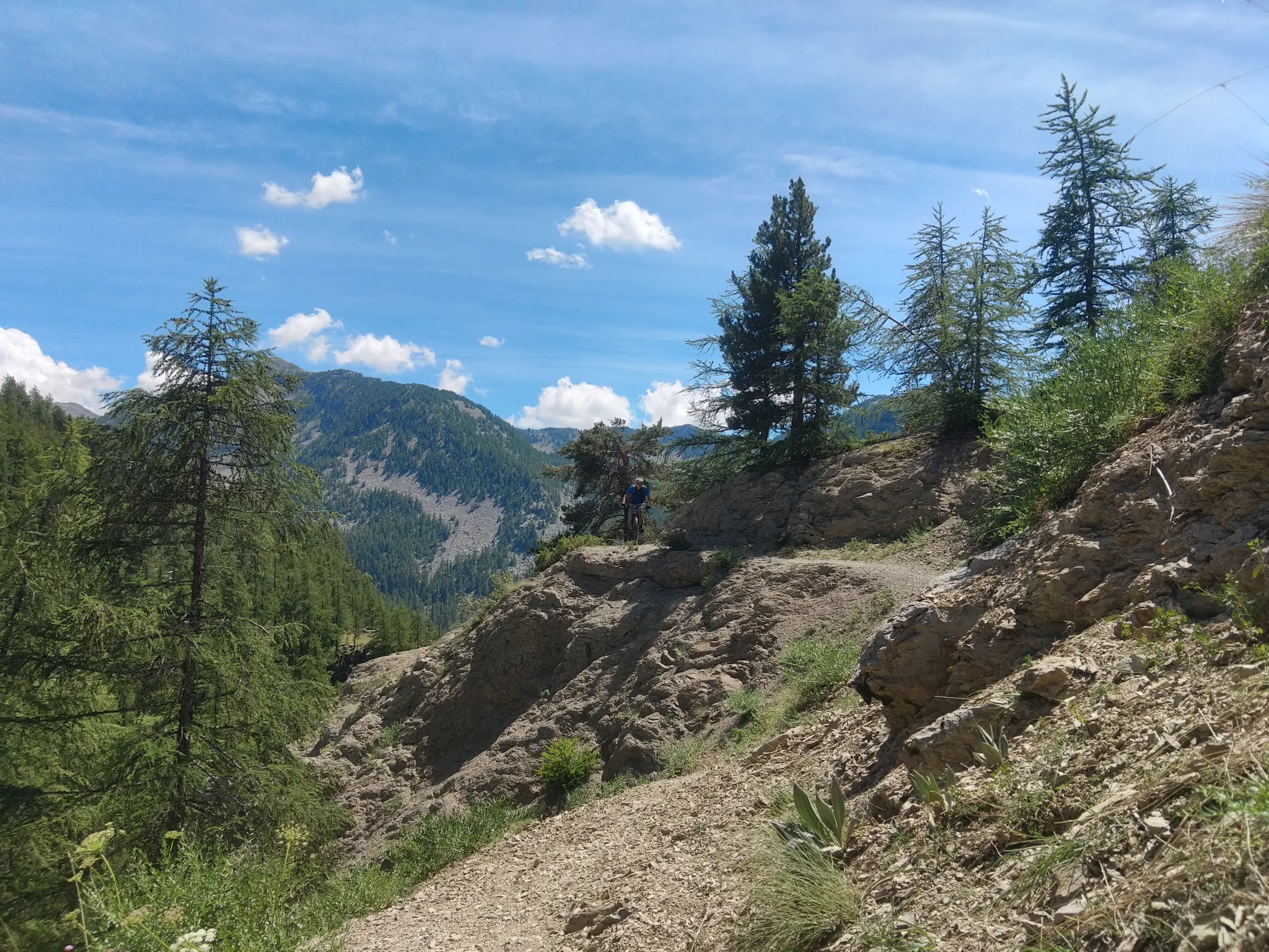
In the shadow of Europe's largest canyon – the TransVerdon

Mountains and marmots — France’s Ubaye trail (GR 56)

MigrAction – Generations in Motion
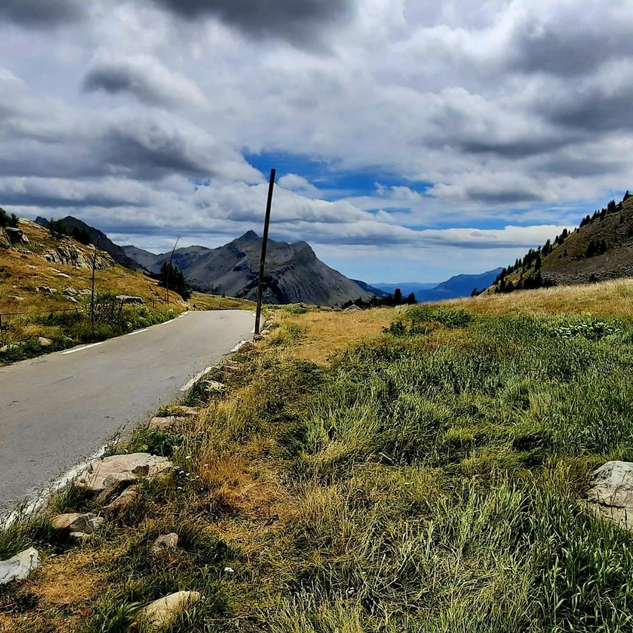
Hiking around Uvernet-Fours
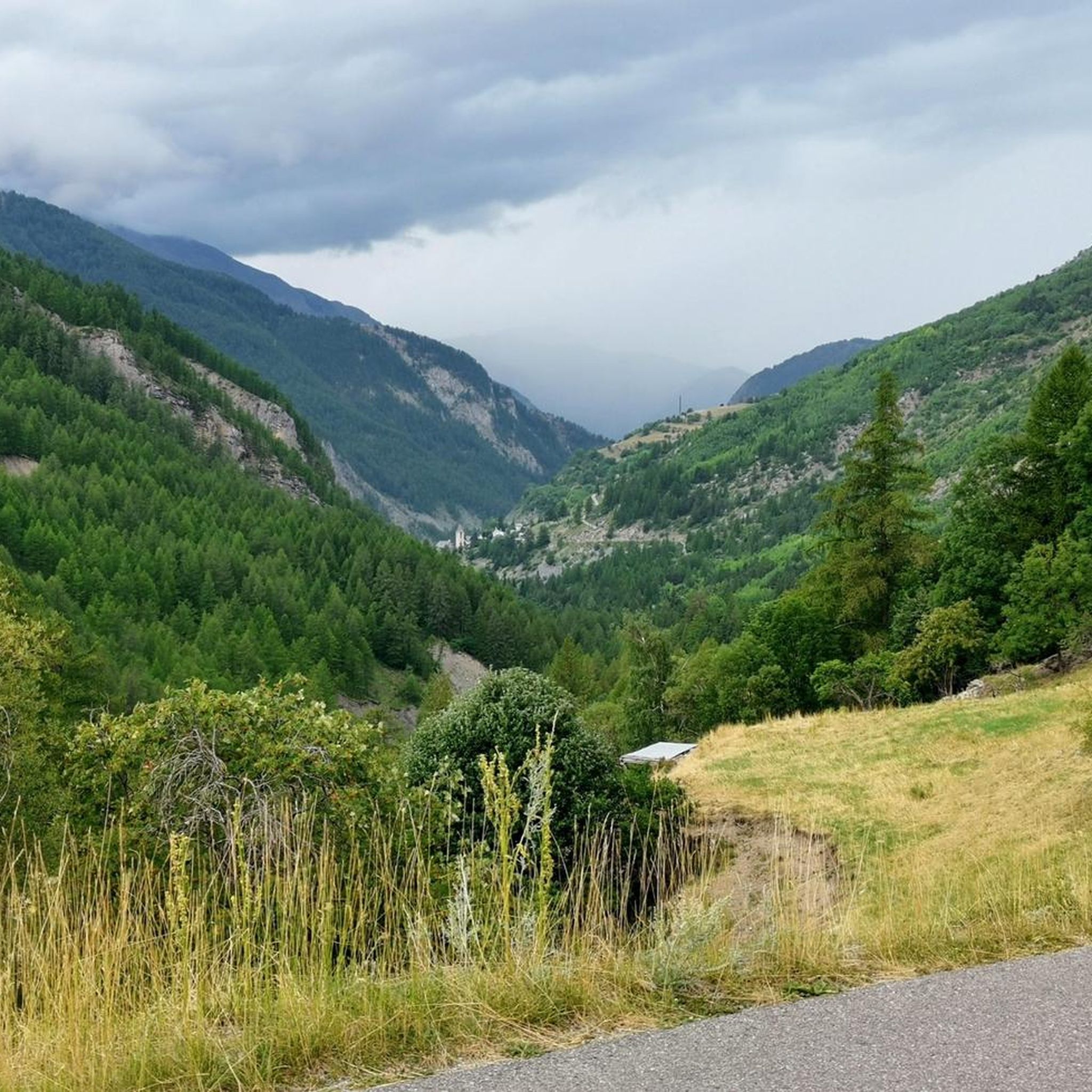
Cycling around Uvernet-Fours
MTB Trails around Uvernet-Fours
Running Trails around Uvernet-Fours

Gravel biking around Uvernet-Fours
Other adventures around Uvernet-Fours


Tips from the Community

A TRUE GATEWAY TO WILD YET TAMED NATURE AND MAJESTIC MOUNTAIN PASSES
0
0

Pretty little village with a centre worth visiting.
13
0

Tried and tested! There's still a long way to go to the top of the pass, so don't forget to stay hydrated.
0
1
Drinking water (tested and approved)!!
0
0

Please note that the Col d'Allos is closed even to cyclists due to major roadworks.
0
0

Gorge that characterizes the initial part of the climb to Col de la Cayolle. Road not steep and easy to cycle. Be careful of the possible presence of stones on the road surface
0
0

Beautiful little town with a great pedestrian zone
2
0
Gorgeous pass with very little traffic and perfect asphalt.
18
0
Frequently Asked Questions
How many road cycling routes are available in Uvernet-Fours?
There are over 60 road cycling routes around Uvernet-Fours. These routes cater to various skill levels, from easier rides to challenging ascents over high mountain passes.
What is the typical terrain like for road cycling in Uvernet-Fours?
Road cycling in Uvernet-Fours is characterized by dramatic Alpine terrain, featuring significant elevation gains as you traverse high mountain passes. You'll encounter varied landscapes, from shaded forests and charming alpine villages to exposed, rugged mountain slopes. Road surfaces are generally well-maintained, providing a good experience for cyclists.
Are there road cycling routes for different skill levels in Uvernet-Fours?
Yes, Uvernet-Fours offers routes for various abilities. While many routes demand excellent fitness due to the mountainous terrain, there are 9 easy routes, 25 moderate routes, and 32 difficult routes available, ensuring options for different skill levels.
What are some of the most iconic mountain passes for road cycling in the Uvernet-Fours region?
The region is home to several legendary passes. The most famous is the Col de la Bonette, which includes the highest paved road in France at 2,802 meters. Other notable passes include the scenic Col de la Cayolle, the nearby Col d'Allos, and the tranquil Col de la Moutière. These passes offer challenging climbs and breathtaking panoramic views.
When is the best time of year to go road cycling in Uvernet-Fours?
The best time for road cycling in Uvernet-Fours is typically from late spring through early autumn, when the high mountain passes are clear of snow and the weather is most favorable. The region's dramatic Alpine terrain means that some higher routes may only be accessible during the summer months.
What natural features can I expect to see while road cycling around Uvernet-Fours?
While cycling, you'll be immersed in the stunning natural beauty of the Mercantour National Park and the Ubaye Valley. Expect to see rugged glaciers, pristine rivers, serene mountain pastures, and a rich variety of flora and fauna. The region also boasts beautiful lakes like Lake Sainte-Marguerite and Lake Allos, Europe's largest natural high-altitude lake.
Are there any notable landmarks or attractions along the road cycling routes?
Yes, many routes offer access to significant landmarks. For instance, cycling towards the Bonette Summit will take you past the Camp des Fourches military camp. The region is also dotted with charming alpine villages and offers views of various mountain peaks like the Tête de la Sestrière.
What do other road cyclists enjoy the most about road cycling in Uvernet-Fours?
The road cycling routes in Uvernet-Fours are highly rated by the komoot community, with an average score of 4.8 stars from over 300 reviews. Cyclists frequently praise the challenging ascents, the breathtaking panoramic views from the high passes, and the constantly changing scenery that transitions from forests to rugged mountain slopes.
Are there any long-distance road cycling routes in the Uvernet-Fours area?
Yes, the region is ideal for long-distance road cycling. Routes like The 3 Cols Loop, spanning nearly 130 km with significant elevation gain, and the Col de Vars and Col de Pontis Loop, also over 120 km, offer extensive challenges for endurance cyclists.
Can I find loop routes for road cycling in Uvernet-Fours?
Absolutely. Many of the best road cycling experiences in Uvernet-Fours are designed as loops, allowing you to start and finish in the same location. Examples include Ubaye River – Col de Vars loop from Barcelonnette and Barcelonnette – Ubaye River loop from Barcelonnette, which offer varied terrain and scenic views.
Are there options for family-friendly road cycling in Uvernet-Fours?
While many routes are challenging, the Ubaye Valley offers picturesque, sunny paths that can be suitable for families or those seeking less strenuous rides. Look for routes with more moderate gradients, especially those that follow river valleys rather than high mountain passes.
Is there information about parking for road cyclists in Uvernet-Fours?
Yes, Uvernet-Fours and surrounding towns like Barcelonnette offer various parking options. For specific trailheads, it's advisable to check local signage or online maps for designated parking areas suitable for cyclists, especially when planning to tackle longer routes or loops.
Are there cafes or places to stop for refreshments along the road cycling routes?
Yes, as you cycle through the charming alpine villages in the Ubaye Valley and near the base of the major passes, you'll find opportunities to stop for refreshments. Many villages offer cafes, restaurants, and small shops where you can refuel and rest.
Most popular routes around Uvernet-Fours
Most popular attractions around Uvernet-Fours

Get inspired with the komoot mobile app


Explore more
Browse the best Road cycling routes in other regions.
