Fontcouverte-La-Toussuire
Fontcouverte-La-Toussuire
Top 3 Natural Monuments around Fontcouverte-La-Toussuire
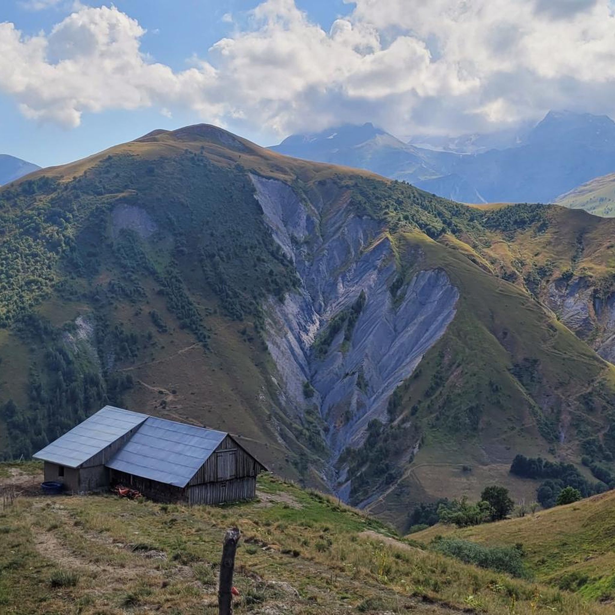
Best natural monuments around Fontcouverte-La-Toussuire are found within the Arvan Villard massif in Savoie, France. This region features diverse alpine landscapes and geological formations. Notable natural features include prominent peaks, high-altitude mountain pastures, and significant mountain passes. The area also contains historical natural monuments such as ancient springs and Neolithic stone structures.
Best natural monuments around Fontcouverte-La-Toussuire
- The most popular natural monument is Glacier de l'Étendard, a glacier covering 270 hectares with a thickness between 30 and 70 meters. It is accessible from the Col de la Croix de Fer.
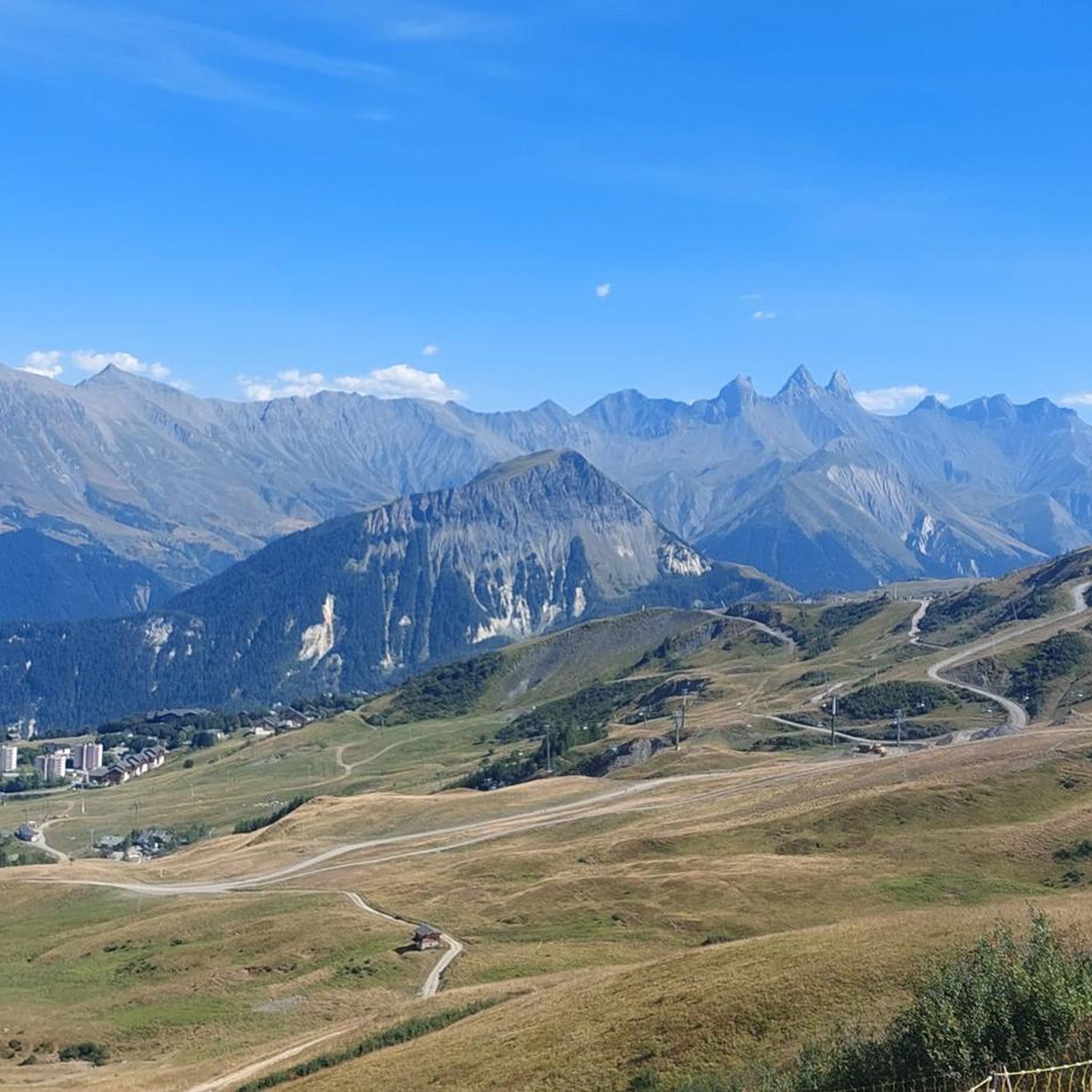
- Another must-see spot is View of the Aiguilles d'Arves from the Descent to Col de la Croix de Fer, a viewpoint offering vistas of the Aiguilles d'Arves. This view is encountered along a descent that follows a ski slope, which is rocky in summer.
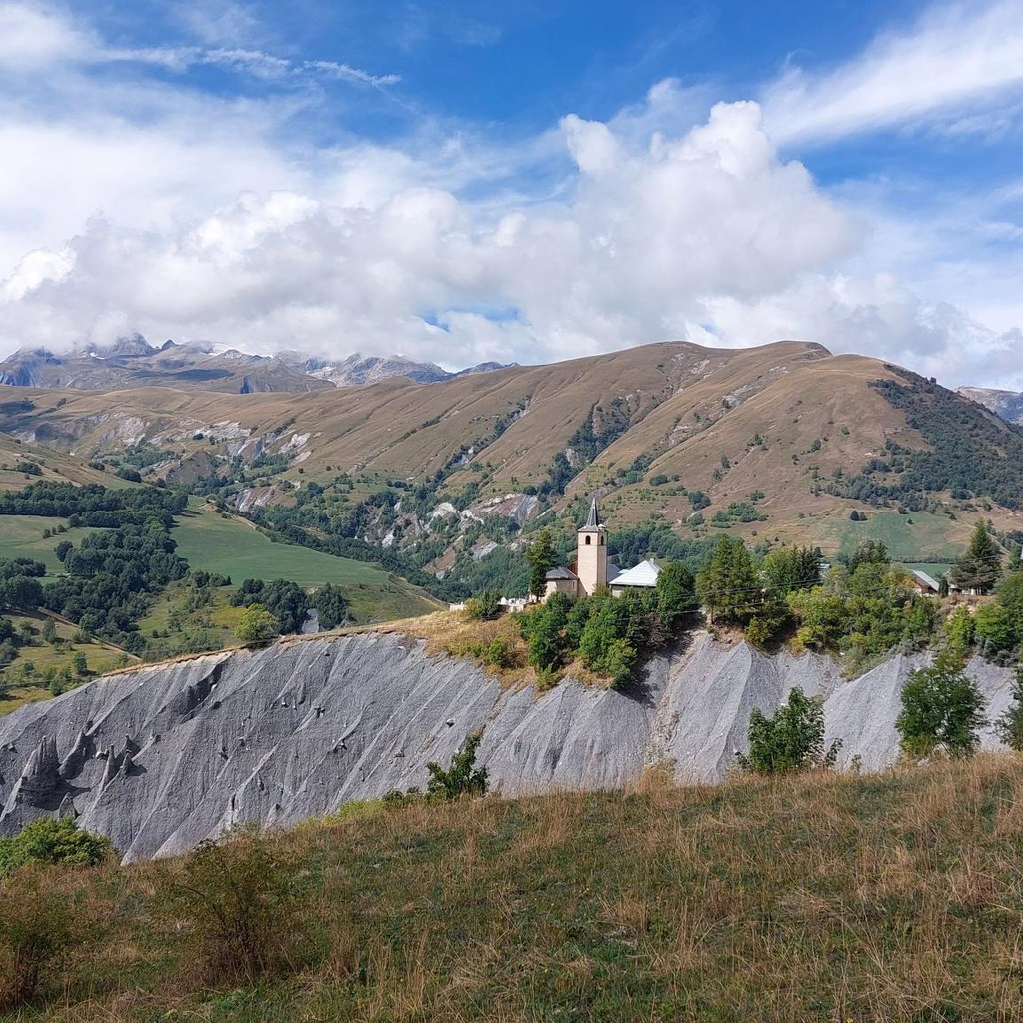
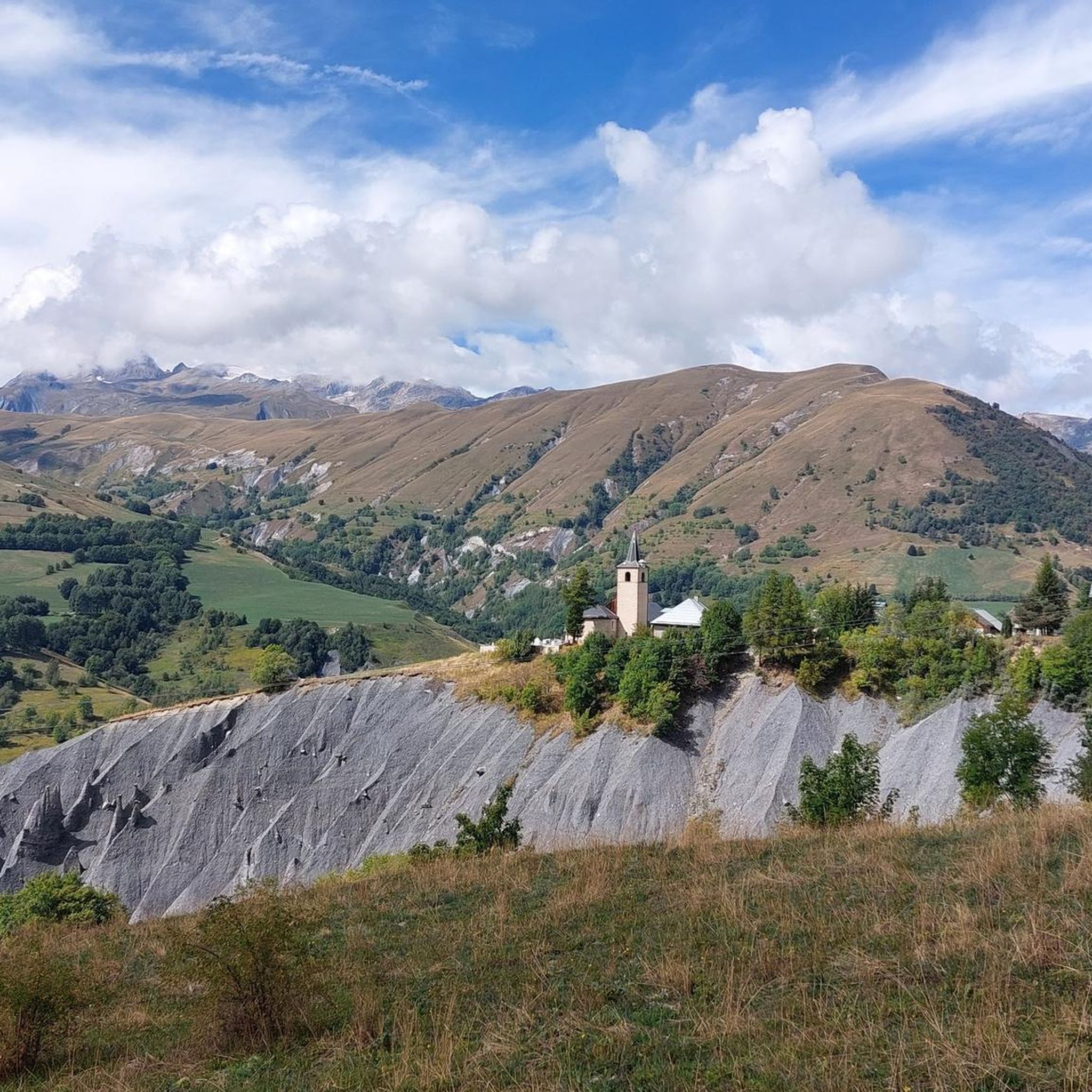
- Visitors also love The Monk of Champlan (Demoiselle Coiffée), a unique natural monument. This capped damsel formation is associated with local legends.
- Fontcouverte-La-Toussuire is known for its alpine peaks, mountain passes, and unique geological formations. Visitors can explore a variety of natural monuments, from expansive glaciers to ancient stone structures.
- The natural monuments around Fontcouverte-La-Toussuire are appreciated by the komoot community, with more than 500 upvotes and over 300 photos shared by users.
Last updated: July 2, 2026
Col de la Croix de Fer
Highlight • Mountain Pass
The Col de la Croix de Fer from Saint-Jean-de-Maurienne is 28.2 kilometers with an elevation gain of 1475 meters. The average gradient is 5.23% with maximum gradients of 9.6%
The final ascent is via the Col du Glandon. After the summit of Glandon it remains approximately 2 kilometers to the summit.
Translated by Google •
Tip by

Glacier de l'Étendard
Highlight • Natural Monument
Translated by Google •
Tip by

Sign up now to discover places like this
Get recommendations on the best single tracks, peaks, & plenty of other exciting outdoor places.
Sign up for free
The Monk of Champlan (Demoiselle Coiffée)
Highlight • Natural Monument
Translated by Google •
Tip by

Terminus of the Saint-Sorlin Glacier
Highlight • Natural Monument
Translated by Google •
Tip by

View of the Aiguilles d'Arves from the Descent to Col de la Croix de Fer
Highlight • Viewpoint
Translated by Google •
Tip by
Start today with a free account
Your next adventure awaits.
Login or Signup
Popular around Fontcouverte-La-Toussuire
Road Cycling Routes around Fontcouverte-La-Toussuire
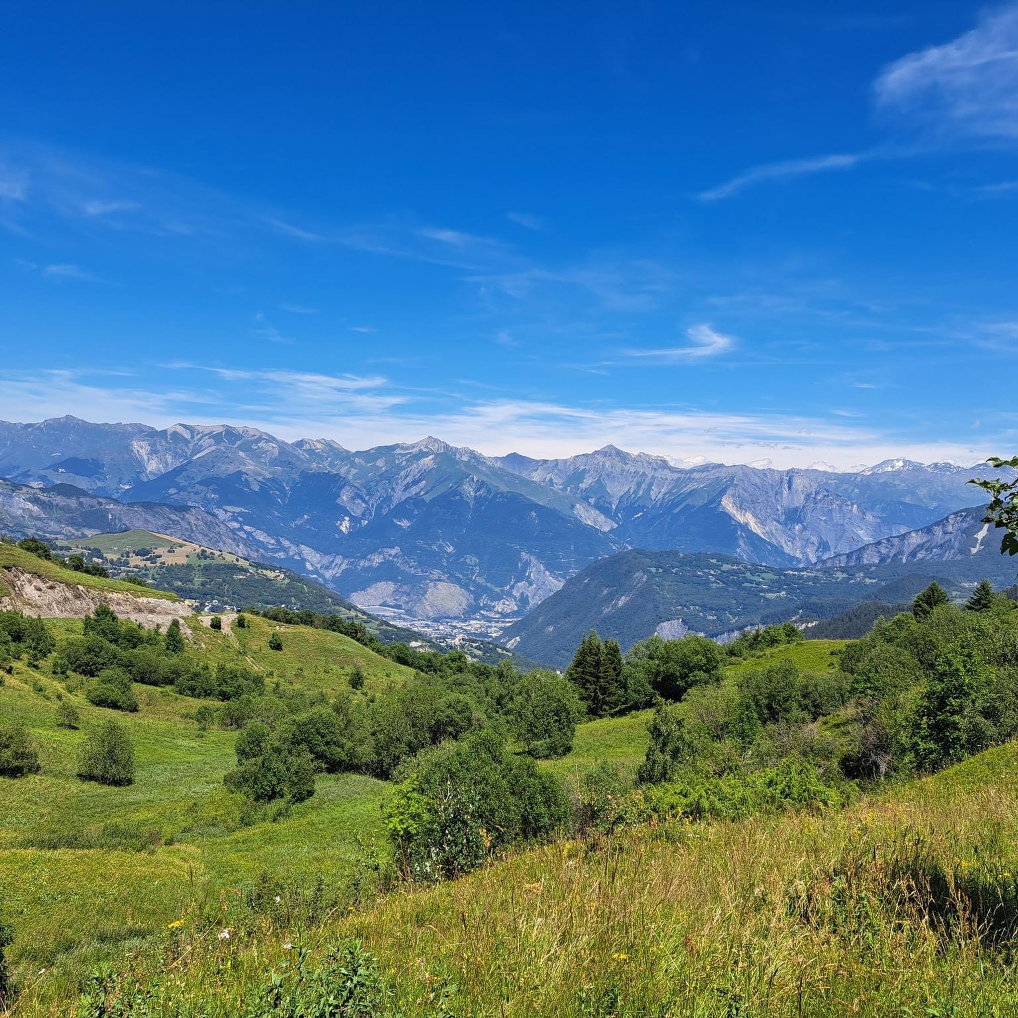
Hiking around Fontcouverte-La-Toussuire
Running Trails around Fontcouverte-La-Toussuire
Cycling around Fontcouverte-La-Toussuire
MTB Trails around Fontcouverte-La-Toussuire

Gravel biking around Fontcouverte-La-Toussuire

Mountain Hikes around Fontcouverte-La-Toussuire
Tips from the Community


The Col de la Croix de Fer culminates at an altitude of 2063 meters. It is the big neighbor of the Col du Glandon, another crossing point between the Maurienne and Oisans valleys. The Tour de France has used this pass 21 times. It is one of the most beautiful in France, a must-visit point for any mountain-loving cyclist!
1
0

View of the St Sorlin Glacier
0
0

View of the Aiguilles d'Arves. The descent is along a ski slope, which is very rocky in summer.
0
0
End of the Saint Sorlin glacier on August 15, 2023, retreating each year.
0
0

There are three different ways to climb to the top of the Col de la Croix de Fer. The most famous is the climb from the Verney dam in the Oisans valley, because it is the slope used in the Marmotte (except the last kilometers). It is 27.5 kilometers long with an elevation gain of 1292 meters. The average slope is 4.7% with maximum slopes of 11.1%. The Col de la Croix de Fer from Saint-Jean-de-Maurienne is 28.2 kilometers with an elevation gain of 1475 meters. The average gradient is 5.23% with maximum gradients of 9.6% The final ascent is via the Col du Glandon. After the summit of Glandon it remains approximately 2 kilometers to the summit.
6
1

The Etandard glacier, also called Saint Sorlin d'Arves, covers 270 hectares and a thickness that varies between 30 and 70 meters. It is easily accessible from the famous Iron Cross Pass.
0
0

Capped damsel, legend of Gargantua
1
0
Frequently Asked Questions
What unique natural features can I explore in Fontcouverte-La-Toussuire?
The region is rich in diverse natural features. You can discover impressive geological formations like The Monk of Champlan (Demoiselle Coiffée), which is a unique 'fairy chimney' rock pillar. The area also boasts vast high-altitude mountain pastures and dramatic alpine landscapes.
Are there any significant historical natural monuments in the area?
Yes, Fontcouverte-La-Toussuire has natural monuments with historical significance. The village itself is named after the Covered Fountain (Fontaine Couverte), an ancient natural spring. Additionally, near the Villards chapel, you can find The Cromlech, a Neolithic-era semi-circle of standing stones believed to have functioned as an ancient sundial or calendar.
Where can I find the best panoramic views of the region?
For breathtaking panoramic views, consider visiting the Col de la Croix de Fer. From here, you can often admire the Aiguilles d'Arves and the Arves valley. The Pointe de l'Ouillon also offers a stunning 360-degree panorama of the Oisans region and Vanoise National Park.
What kind of outdoor activities can I do near these natural monuments?
The natural monuments are excellent starting points for various outdoor activities. You can find numerous hiking trails, from easy to challenging, that lead through mountain pastures and offer stunning vistas. There are also running routes and traffic-free bike rides, especially around the renowned mountain passes.
Are there hiking trails suitable for different difficulty levels?
Yes, the area offers a range of hiking trails. For example, the ascent to the Col de la Croix de Fer can be challenging, especially for cyclists, with steep gradients. However, many trails through the high-altitude mountain pastures are suitable for intermediate hikers, and easier paths can be found for more leisurely strolls.
Are there family-friendly natural monuments to visit?
While many natural monuments involve some hiking, sites like the Covered Fountain in Fontcouverte offer an easy, accessible historical natural feature. The Cromlech, with its ancient mystery, can also be an engaging visit for families. For walks, look for trails marked as 'easy' in the nearby hiking guides.
What is the best time of year to visit the natural monuments?
The best time largely depends on your preferred activity. Summer (June to September) is ideal for hiking and cycling, with mountain pastures alive with herds and wildflowers. The autumn months offer stunning foliage. In winter, the landscape transforms into ski slopes, and some areas might be accessible for snowshoeing, though certain high-altitude passes may be closed.
Are there options for parking near the natural monuments?
Yes, many natural monuments and trailheads have designated parking areas. For instance, the Col de la Croix de Fer has parking available at the summit. It's always advisable to check specific access points for each monument before your visit.
What are some of the most impressive glaciers to see in the region?
You can witness the grandeur of alpine glaciers, such as the Glacier de l'Étendard, also known as Saint Sorlin d'Arves. You can also visit the Terminus of the Saint-Sorlin Glacier to observe its current state and retreat.
Can I see the iconic Aiguilles d'Arves from a natural monument?
Absolutely. The dramatic Aiguilles d'Arves are a prominent feature of the landscape. You can get a magnificent view of these peaks from the Col de la Croix de Fer, and especially from the Col d'Arves, which offers an unparalleled panorama.
What do visitors particularly enjoy about the natural monuments in Fontcouverte-La-Toussuire?
Visitors frequently praise the breathtaking panoramic views, especially from high mountain passes like the Col de la Croix de Fer. The opportunity to immerse oneself in pristine alpine environments, observe unique geological formations, and experience the rich history embedded in sites like the Cromlech are also highly valued.
Most popular routes around Fontcouverte-La-Toussuire
Most popular attractions around Fontcouverte-La-Toussuire

Get inspired with the komoot mobile app


Explore more
Extend your search for the best caves by checking out these guides of the top ones around Fontcouverte-La-Toussuire:
