The best MTB trails around Fontcouverte-La-Toussuire
4.4
(108)
1,054
riders
100
rides
Mountain biking around Fontcouverte-La-Toussuire, located in the Maurienne valley of the French Alps, offers diverse terrain for riders. The region is characterized by expansive high-altitude mountain pastures, challenging mountain passes, and varied landscapes. These features provide a range of mountain bike trails suitable for different skill levels.
Best mountain bike trails around Fontcouverte-La-Toussuire
- The most popular mountain bike trail is L'Ouillon – Descente trialisante! loop from Saint-Jean-d'Arves, a difficult 13.4 miles (21.6 km) trail that takes 2 hours 36 minutes to complete. This route features significant elevation gain through alpine terrain.
- Another top favourite among local mountain bikers is Les Trois Croix Sculpture – La Toussuire Summit loop from Villarembert, a moderate 11.2 miles (18.0 km) path. This trail ascends to the La Toussuire Summit, offering panoramic views.
- Local mountain bikers also love the Col d'Arves – L'Ouillon loop from Villarembert, a 17.5 miles (28.1 km) trail leading through challenging mountain passes and high-altitude areas, often completed in about 2 hours 51 minutes.
- Mountain biking around Fontcouverte-La-Toussuire is defined by high-altitude mountain pastures, challenging mountain passes, and diverse valley terrain. The network offers options for different ability levels, from moderate climbs to difficult descents.
- The routes in Fontcouverte-La-Toussuire are highly rated by the komoot community with an average score of 4.5 stars from over 100 reviews. More than 1000 mountain bikers have used komoot to explore Fontcouverte-La-Toussuire's varied terrain.
Last updated: July 1, 2026
4.0
(2)
27
riders
33.5km
04:19
1,630m
1,630m
Hard mountain bike ride. Very good fitness required. Advanced riding skills necessary. Some portions of the route may require you to push your bike.
3.0
(1)
16
riders
17.3km
02:03
690m
690m
Moderate mountain bike ride. Good fitness required. Advanced riding skills necessary.

Sign up for free
8
riders
20.2km
02:48
1,110m
1,110m
Hard mountain bike ride. Very good fitness required. Advanced riding skills necessary. Some portions of the route may require you to push your bike.
12
riders
29.1km
02:36
1,020m
1,020m
Hard mountain bike ride. Very good fitness required. Suitable for all skill levels.
3.0
(1)
8
riders
17.4km
02:21
890m
890m
Moderate mountain bike ride. Good fitness required. Suitable for all skill levels.
Get access to more routes and recommendations from other explorers.
Sign up for free
Already have an account?
Our route recommendations are based on thousands of hikes, rides, and runs completed by other people on komoot.
Start today with a free account
Your next adventure awaits.
Login or Signup
Popular around Fontcouverte-La-Toussuire
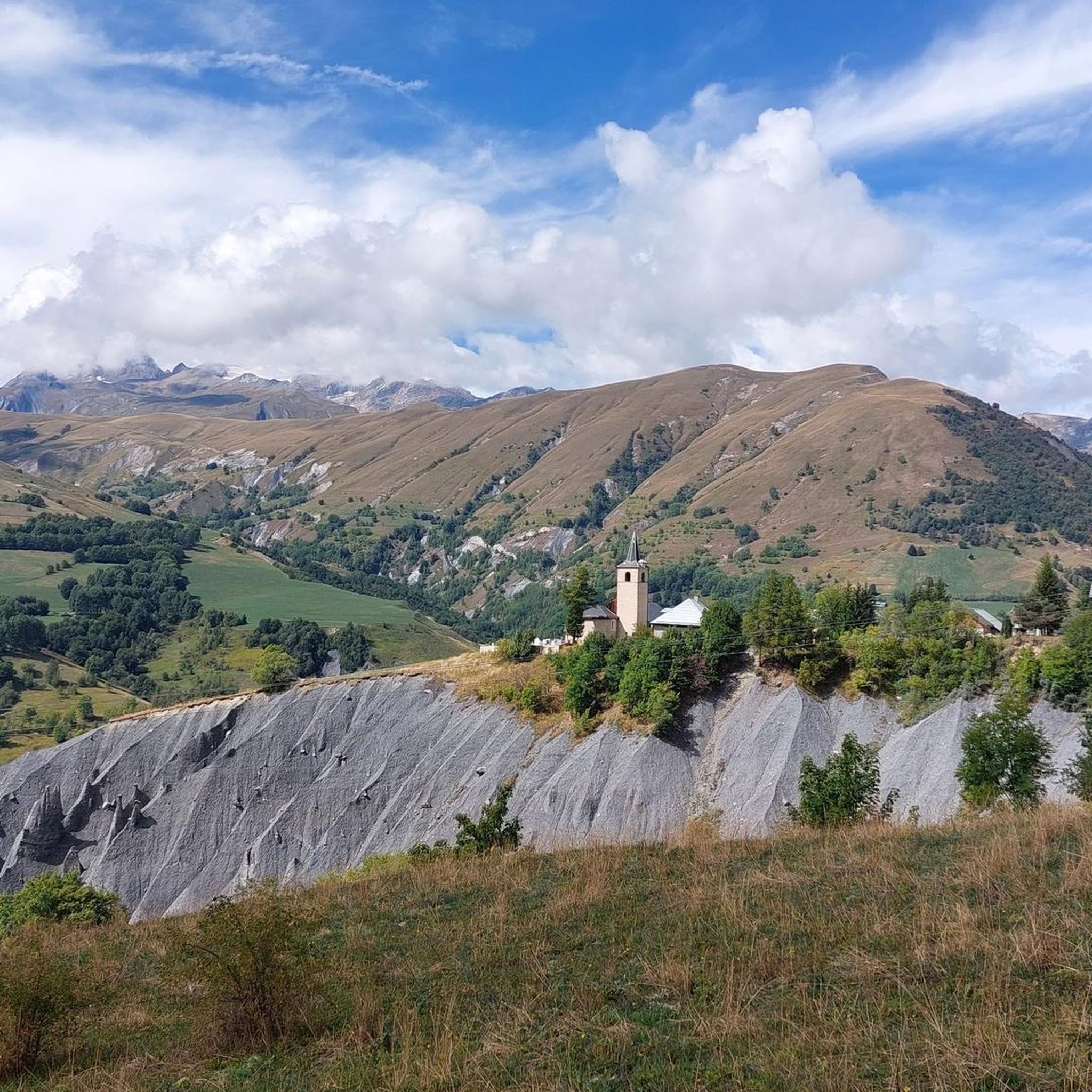
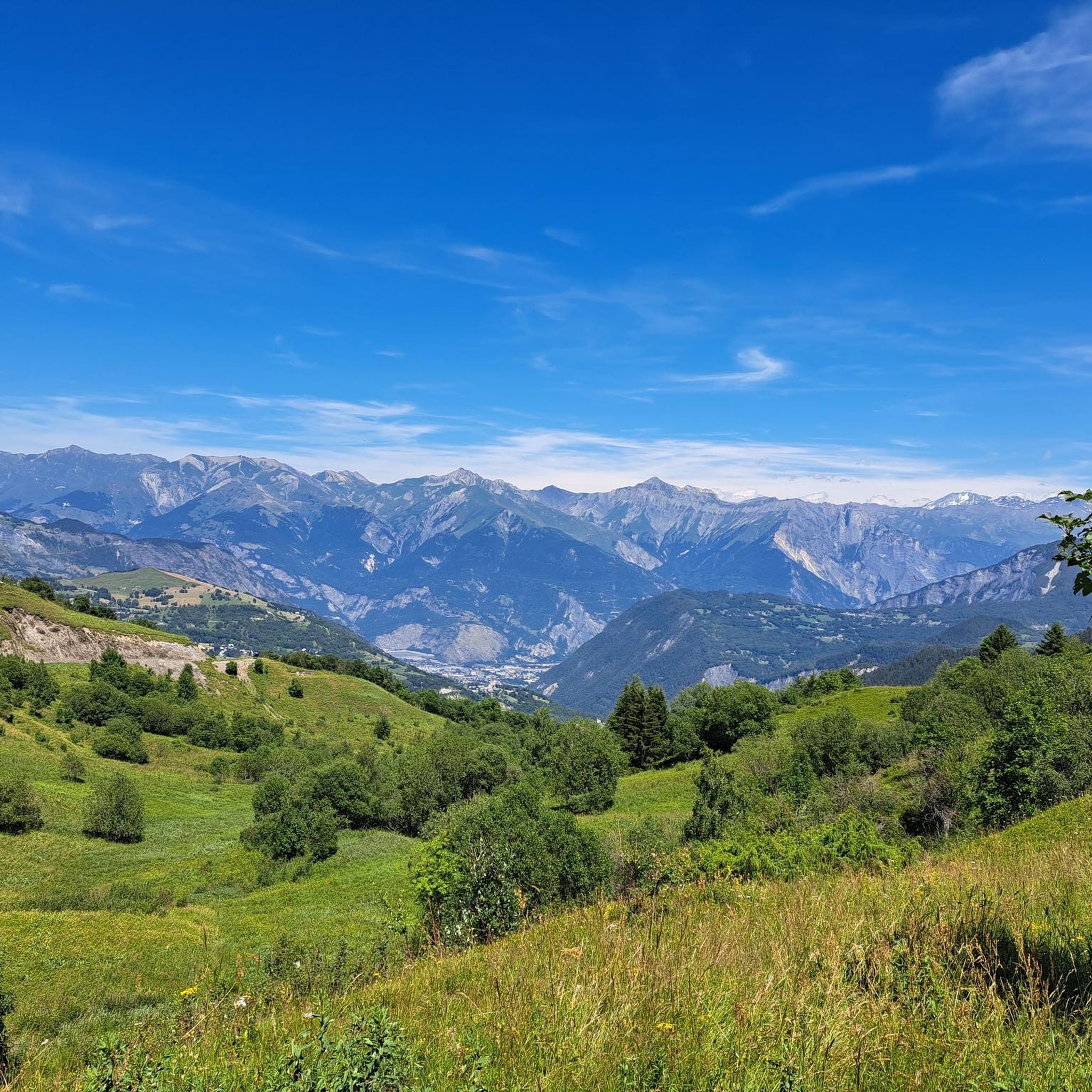
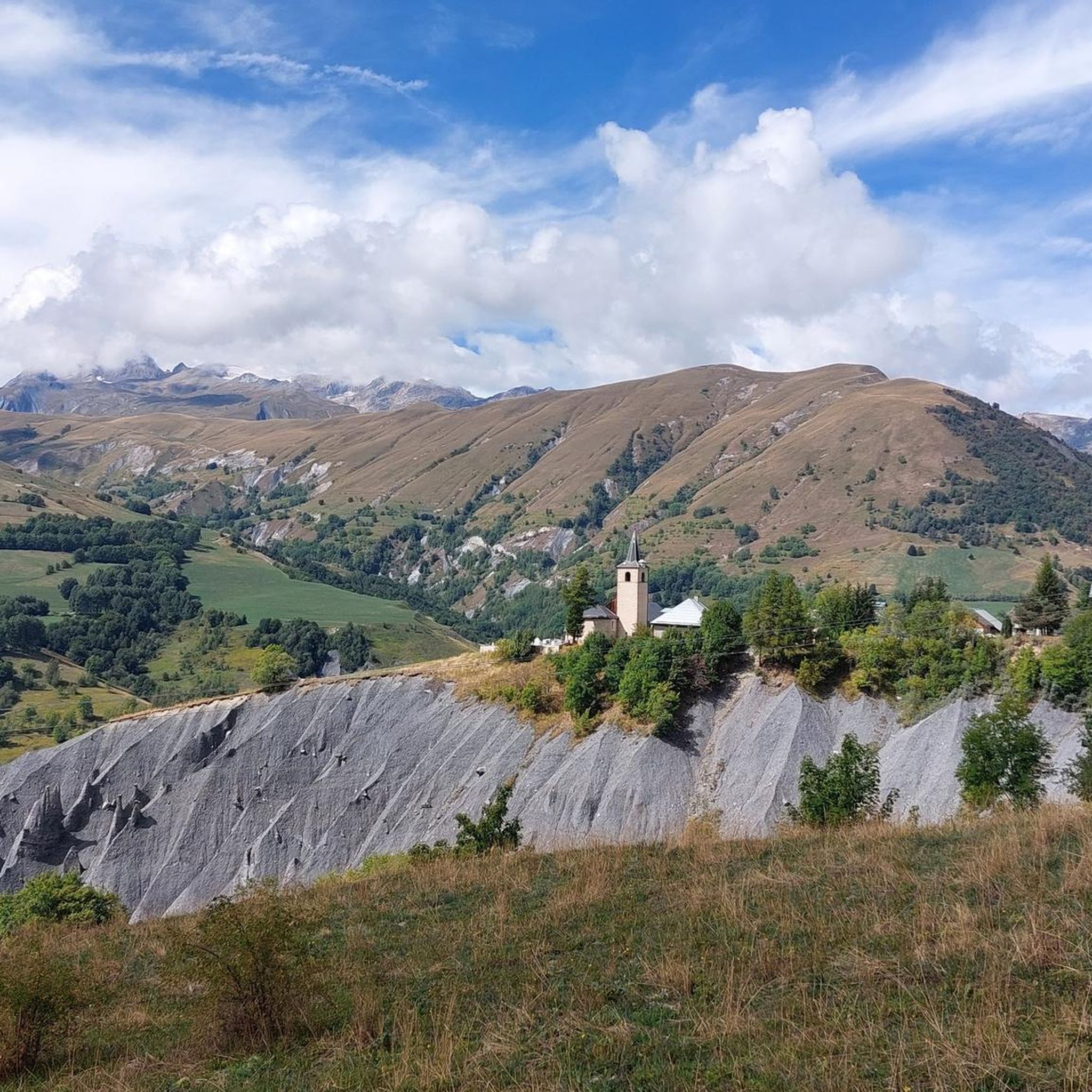
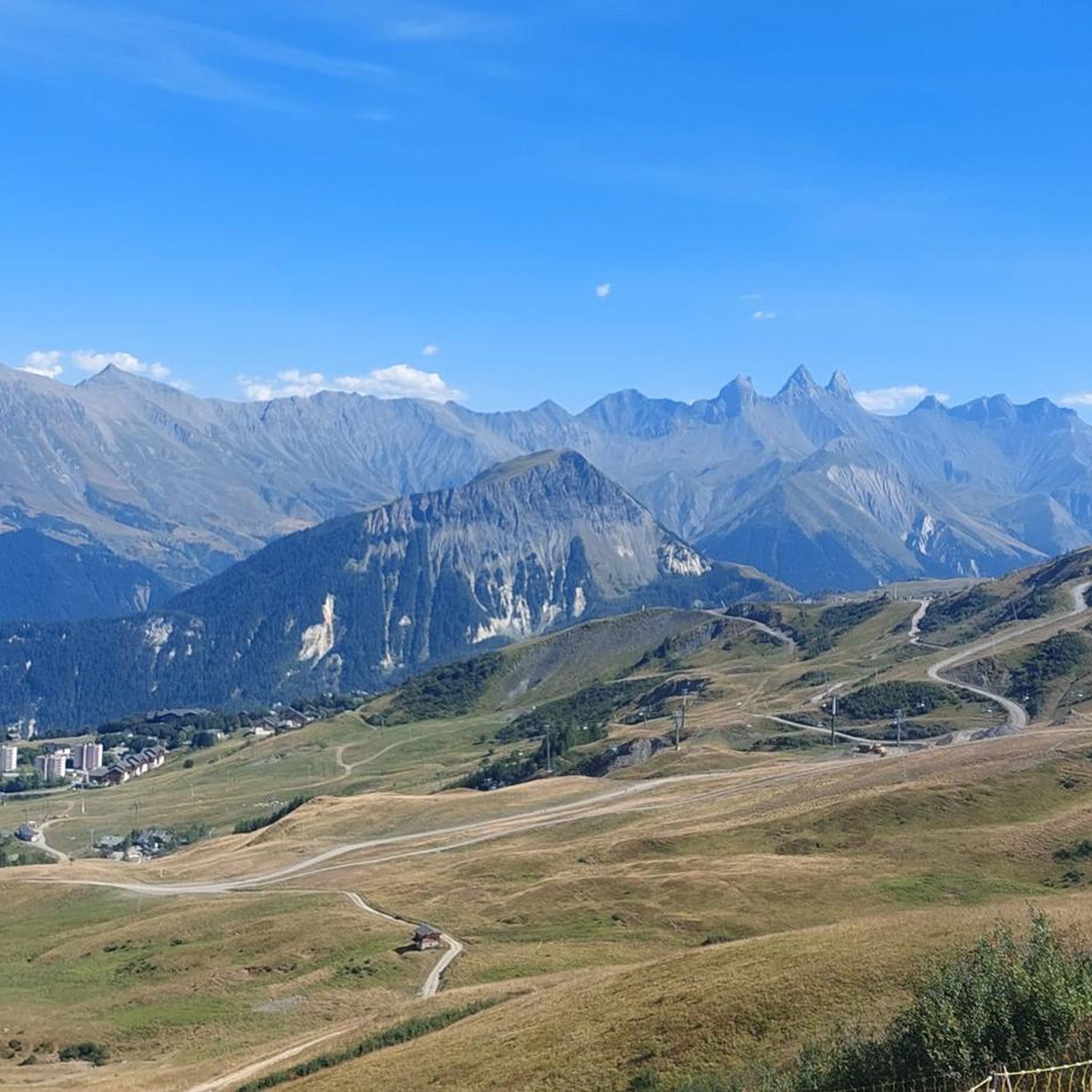


Tips from the Community

Grandiose ascent on the D110, great view at the pass.
2
0


The views at the top of this pass are definitely worth the detour 👍
0
0

The Col d’Arves, perched at an altitude of 2,100 metres, offers a breathtaking panorama of the majestic Aiguilles d'Arves and the surrounding Alpine peaks. This Alpine pass, accessible by hiking trails, is a privileged place for mountain lovers in search of tranquility and grandiose landscapes. The alpine meadows and green valleys that stretch as far as the eye can see contrast with the snow-capped peaks.
1
0

The Col de la Croix de Fer culminates at an altitude of 2063 meters. It is the big neighbor of the Col du Glandon, another crossing point between the Maurienne and Oisans valleys. The Tour de France has used this pass 21 times. It is one of the most beautiful in France, a must-visit point for any mountain-loving cyclist!
1
0

Essential crossing point for many descents on both sides
0
0

There are three different ways to climb to the top of the Col de la Croix de Fer. The most famous is the climb from the Verney dam in the Oisans valley, because it is the slope used in the Marmotte (except the last kilometers). It is 27.5 kilometers long with an elevation gain of 1292 meters. The average slope is 4.7% with maximum slopes of 11.1%. The Col de la Croix de Fer from Saint-Jean-de-Maurienne is 28.2 kilometers with an elevation gain of 1475 meters. The average gradient is 5.23% with maximum gradients of 9.6% The final ascent is via the Col du Glandon. After the summit of Glandon it remains approximately 2 kilometers to the summit.
6
1

The ascent from Saint-Jean-de-Maurienne over the Col du Mollard to the Croix de Fer is a very good choice.
0
0
Frequently Asked Questions
How many mountain bike trails are available in Fontcouverte-La-Toussuire?
The Fontcouverte-La-Toussuire region offers over 110 mountain bike trails. These routes cater to various skill levels, with a significant number of moderate and difficult options, alongside a few easier trails.
Are there mountain bike trails suitable for beginners or families in Fontcouverte-La-Toussuire?
While many trails in Fontcouverte-La-Toussuire are moderate to difficult, there are a few easier options available. These routes often traverse the expansive high-altitude mountain pastures, providing a less strenuous experience for families or beginners. Look for trails with less significant elevation changes.
What kind of terrain can I expect on mountain bike trails in Fontcouverte-La-Toussuire?
Mountain biking in Fontcouverte-La-Toussuire is characterized by diverse terrain, including expansive high-altitude mountain pastures, challenging mountain passes, and varied valley landscapes. You'll encounter everything from technical descents to sustained climbs through alpine environments.
Are there any long-distance mountain bike routes in Fontcouverte-La-Toussuire?
Yes, Fontcouverte-La-Toussuire offers several longer mountain bike routes. For example, the Col d'Arves – L'Ouillon loop from Villarembert is a challenging 17.5-mile (28.1 km) trail that takes you through high-altitude areas and mountain passes.
What do other mountain bikers enjoy most about the trails in Fontcouverte-La-Toussuire?
The mountain bike trails in Fontcouverte-La-Toussuire are highly rated by the komoot community, with an average score of 4.5 stars from over 100 reviews. Riders often praise the diverse terrain, challenging ascents, and the stunning panoramic views from high-altitude points like the Pointe de l'Ouillon.
Are there any scenic mountain bike routes with viewpoints in the region?
Absolutely. Many routes offer spectacular views. For instance, the Les Trois Croix Sculpture – La Toussuire Summit loop from Villarembert ascends to La Toussuire Summit, providing panoramic vistas. The region is also known for views of the Aiguilles d'Arves from passes like the Col du Mollard.
What are some notable landmarks or attractions I can see near the mountain bike trails?
While mountain biking, you can encounter several interesting landmarks. The region is part of the 'land of great passes,' with historic climbs like the Col de la Croix de Fer and the Mollard Pass. You might also spot the famous Montvernier Hairpins, a renowned road cycling climb.
Are there any loop trails for mountain biking in Fontcouverte-La-Toussuire?
Yes, many mountain bike routes in Fontcouverte-La-Toussuire are designed as loops, allowing you to start and finish in the same location. Examples include the Tour des 3 lacs – L'Ouillon loop from Saint-Jean-d'Arves and the Col de la Chal loop from La Simianaz.
What is the best time of year for mountain biking in Fontcouverte-La-Toussuire?
The summer months are generally the best time for mountain biking in Fontcouverte-La-Toussuire. During this period, the high-altitude mountain pastures are accessible, and the weather conditions are typically favorable for exploring the trails. Always check local weather forecasts before heading out.
Are there any specific summits or high points accessible by mountain bike that offer great views?
Yes, several high points offer exceptional views. The La Toussuire Summit is a popular destination, providing panoramic vistas. The Pointe de l'Ouillon, at 2,431 meters, also offers a 360° view of Oisans and the Vanoise National Park.
What are the typical elevation gains on mountain bike trails in this region?
Mountain bike trails in Fontcouverte-La-Toussuire often feature significant elevation gains due to the alpine terrain. For example, the L'Ouillon – Descente trialisante! loop from Saint-Jean-d'Arves involves nearly 1,000 meters of ascent, making for a challenging ride.
Most popular routes around Fontcouverte-La-Toussuire
Most popular attractions around Fontcouverte-La-Toussuire

Get inspired with the komoot mobile app


Explore more
Browse the best MTB trails in other regions.
