Top 6 Natural Monuments around Lamagdelaine
Natural monuments around Lamagdelaine are primarily found within the Causses du Quercy Natural Regional Park, a UNESCO Global Geopark. This region is characterized by its distinctive karst landscapes, formed by the erosion of limestone over millennia. Visitors can explore a network of caves, sinkholes, and underground rivers, alongside impressive gorges and vast limestone plateaus. The area offers diverse geological formations and unique flora.
Best natural monuments around Lamagdelaine
- The most popular natural monuments is The English Castle of Bouziès,…
Last updated: July 2, 2026
The English Castle of Bouziès
Highlight • Castle
Translated by Google •
Tip by

The Chartreux Fountain
Highlight • Natural Monument
Translated by Google •
Tip by

Sign up now to discover places like this
Get recommendations on the best single tracks, peaks, & plenty of other exciting outdoor places.
Sign up for free
Under the cliff…
Highlight • Trail
Translated by Google •
Tip by

View of the Lot
Highlight • River
Translated by Google •
Tip by
The wells of Laburgade
Highlight • Monument
Translated by Google •
Tip by

Sign up for free to discover even more natural monuments around Lamagdelaine.
Sign up for free
Already have an account?
Start today with a free account
Your next adventure awaits.
Login or Signup

Tips from the Community

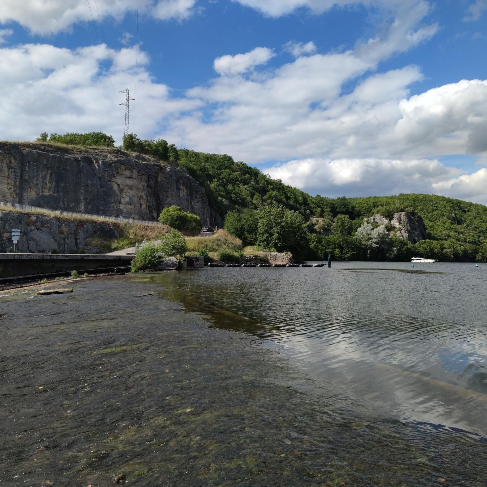
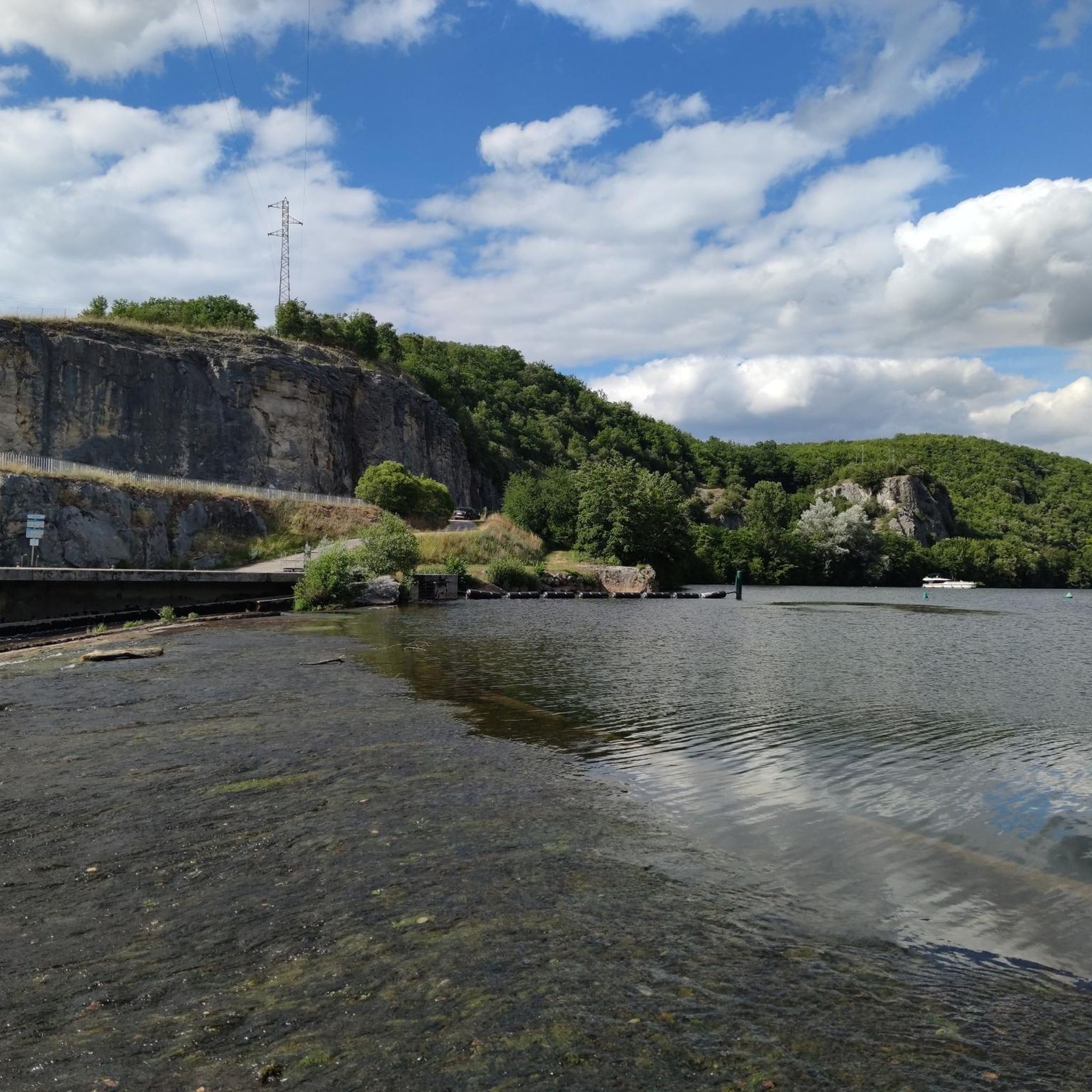
In addition to everything that's been said, the road runs alongside magnificent cliffs, and you even pass under the rock several times – it's amazing!!
0
0
A lovely place full of history! We walked along a white path and observed these buildings in a beautiful landscape!
0
0

The path under the cliff is perhaps 500 meters long, and the surface isn't particularly bike-friendly. You also have to share the path with hikers. It's still a really beautiful path, though; the official bike path goes over the cliff, so you can save yourself some elevation gain.
0
0

These wells are aligned on a geological fold characterized by a layer of impermeable clay located under the outcropping limestone. Each well is built above a "cistern" dug into the rock. The wells are therefore independent of each other. The "cisterns" are filled in two ways: by vertical infiltration of rainwater and by lateral flow of water. Here we can see the determination and ingenuity of the Caussenards to capture water that is particularly rare in the region.
2
0

One of the most popular photo motifs in the Lot Valley. It's incredible how this structure was built into the rock and is accessible!
3
0

beautiful ride along the Lot river
1
0

From the 1st century BC to the 1st century AD, the Fontaine des Chartreux was a center of worship of Divona, goddess of the waters in the Celtic tradition, as evidenced by the Roman coins found during archaeological explorations in 1989. In the Middle Ages, a mill used the waters of the spring: the spring was ceded to the Charterhouse of Cahors and was known thereafter by the name of this religious order. In the 19th century, some of the stones lining the pool were replaced by tombstones from the church of Notre Dame de la Daurade, destroyed in 1808. Since 1853, when the Cabazat pumping station (now Maison de l'Eau) was put into operation, this Vauclusian spring, whose depth of 137 meters acts as a real filtering system, supplies the town with drinking water. From 1926, electric pumps were installed in this building, right next to the Fontaine des Chartreux, and this is still the pumping station today. The water is pumped into reservoirs hollowed out of the cliffs and then through pipes laid under the
0
0

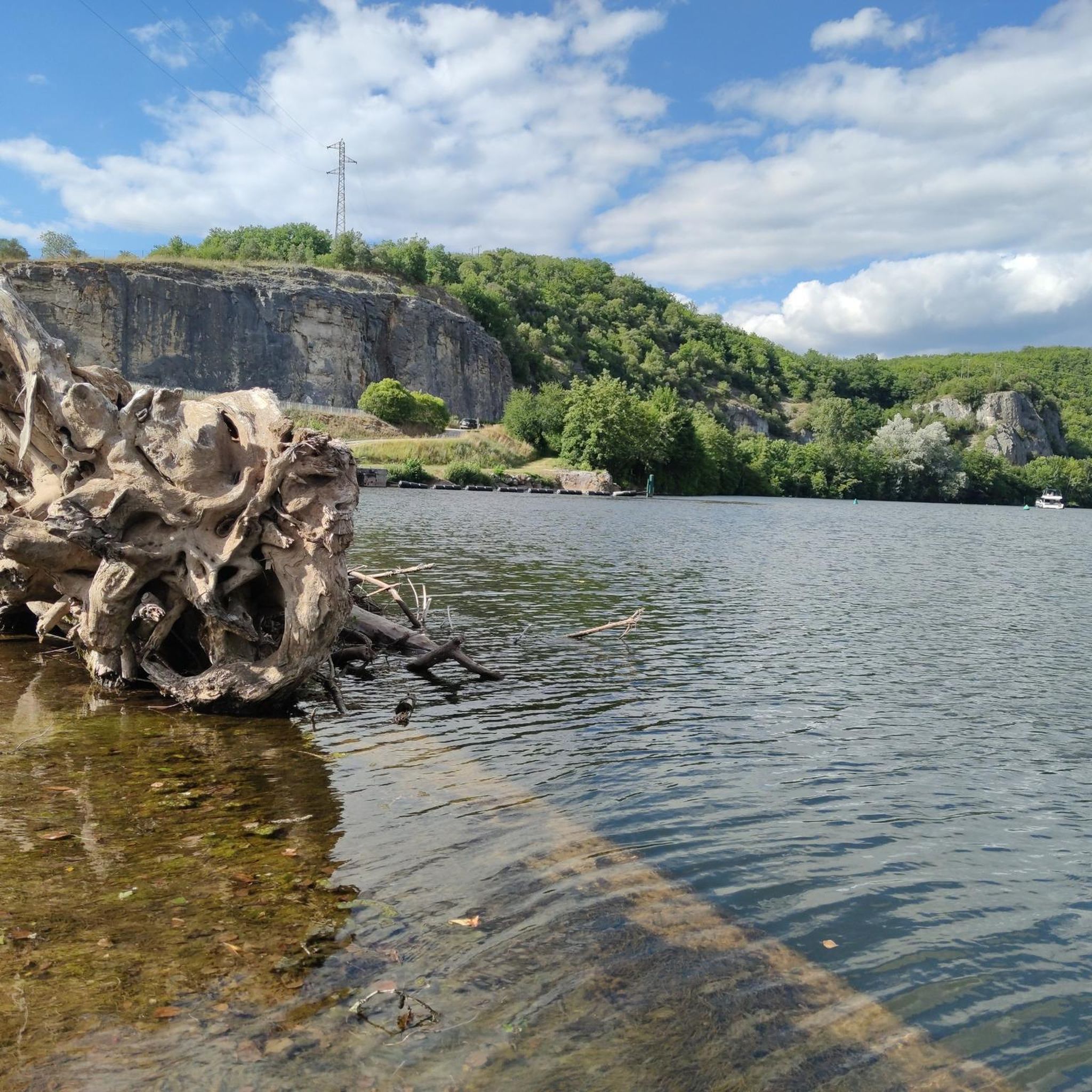
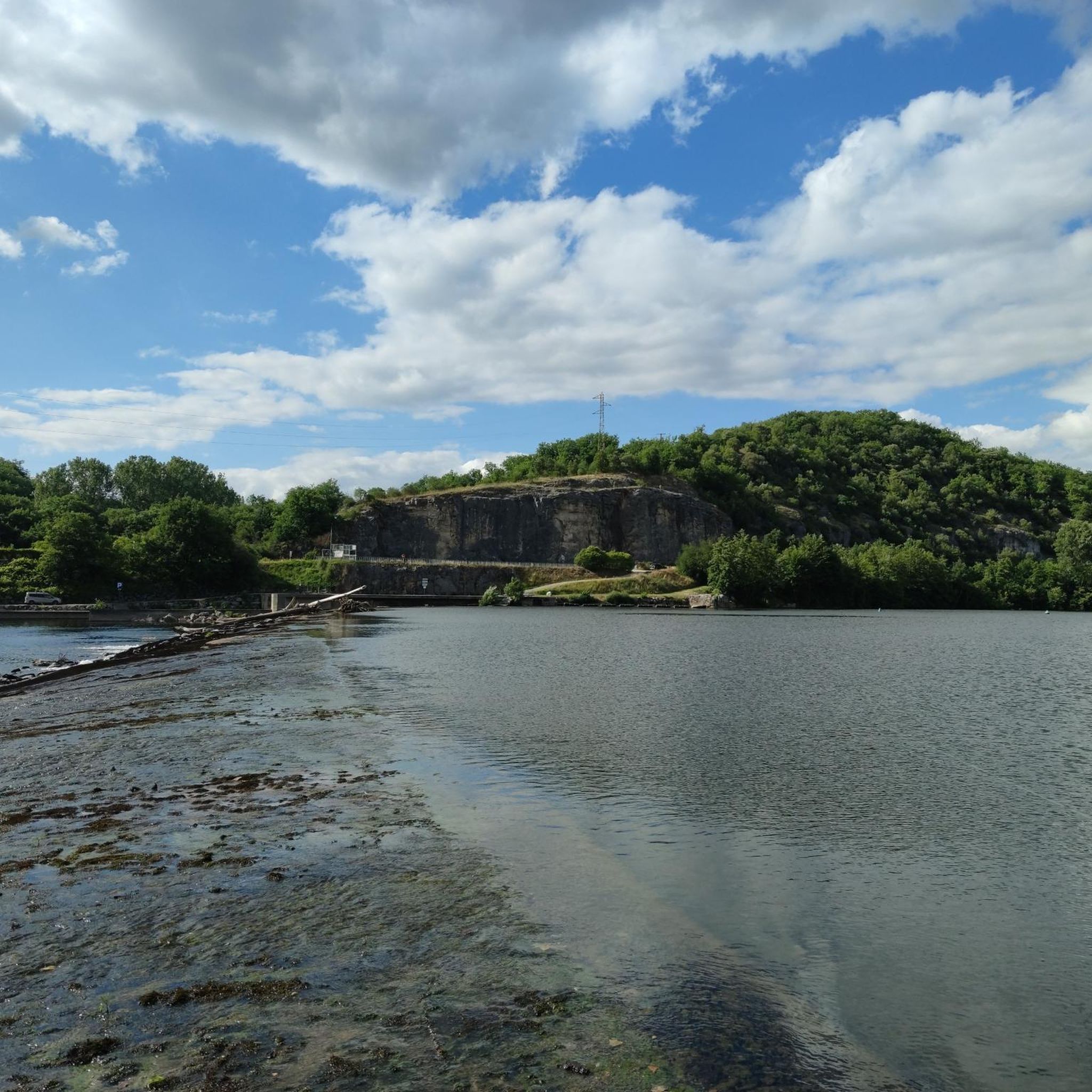
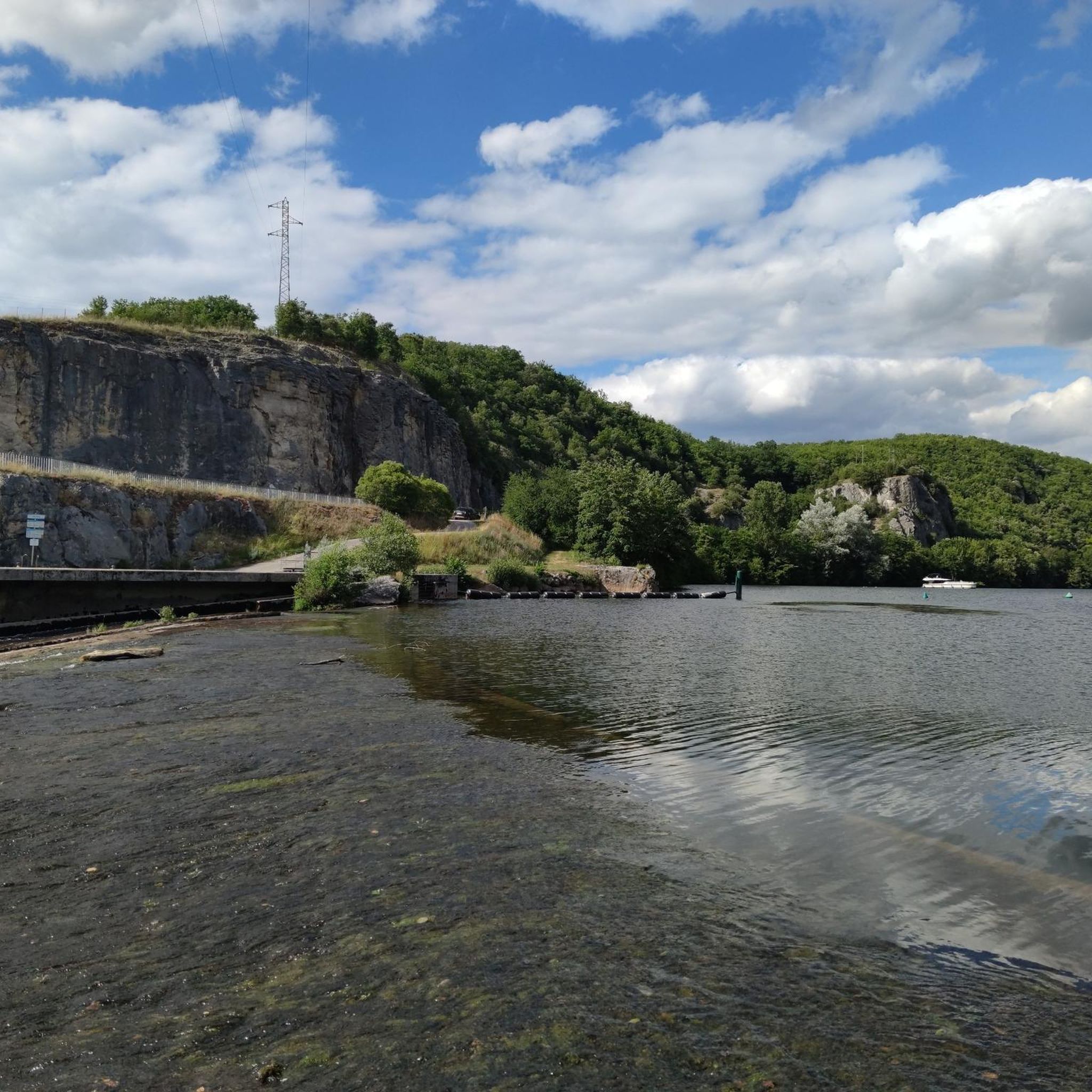
The Lot is a French river that rises in the Massif Central. The source of the river is in the area of Mont Lozère. The Lot runs from Mont Lozère to Aiguillon, where the river flows into the Garonne. The Lot has a length of 481 km, of which only 200 km as the crow flies.
4
0
Frequently Asked Questions
What are the most popular natural monuments around Lamagdelaine?
Visitors frequently enjoy the unique experience of The English Castle of Bouziès, a castle anchored directly into the limestone rock. Another favorite is the scenic Under the cliff… trail, which runs along the base of a cliff, offering stunning river views. The View of the Lot also provides panoramic vistas of the river and its natural surroundings.
What natural features can I explore within the Causses du Quercy Natural Regional Park?
The Causses du Quercy Natural Regional Park, a UNESCO Global Geopark, is characterized by its distinctive karst landscapes. You can explore a complex network of caves, sinkholes, and underground rivers, alongside impressive gorges and vast limestone plateaus known as 'causses'. The park also features unique flora like wild orchids and provides habitats for various bird species, including peregrine falcons and griffon vultures.
Are there any significant prehistoric sites among the natural monuments?
Yes, the Grotte du Pech-Merle, located within the Causses du Quercy, is a famous prehistoric cave. It's renowned for its well-preserved prehistoric cave paintings, including iconic polka-dot horses and negative human handprints, offering a profound journey back in time amidst natural rock formations.
What is the Gouffre de Padirac and can I visit it?
The Gouffre de Padirac is a dramatic chasm that plunges 103 meters into the Earth. It's classified as a natural monument and a Great Site of the Lot department. Visitors can explore more than 40 kilometers of galleries by foot and by boat along an underground river, witnessing impressive geological formations. Its 35-meter-diameter entrance alone is a spectacle.
Are there family-friendly natural monuments around Lamagdelaine?
Many natural monuments in the region are suitable for families. The View of the Lot is a great spot for all ages to enjoy panoramic river views. Additionally, The wells of Laburgade offer an interesting historical and natural site that is family-friendly, showcasing the ingenuity of past inhabitants in managing water resources.
What outdoor activities can I do near these natural monuments?
The region offers a variety of outdoor activities. You can find numerous hiking trails, such as the 'Saint Roch Chapel loop' or 'Lot 180 degrees loop'. For cycling enthusiasts, there are MTB trails like the 'Saint-Cirq-Lapopie – Cliffs Along the Lot River loop' and road cycling routes like the 'Luzech – Albas loop'. You can find more details on these activities in the hiking guide, MTB guide, and road cycling guide for Lamagdelaine.
Where can I find panoramic viewpoints of the Lot River and surrounding area?
The View of the Lot offers excellent panoramic vistas. Additionally, the Mont Saint-Cyr Viewpoint, overlooking the city of Cahors and the dramatic meander of the Lot River, provides exceptional sweeping views of both the natural beauty of the river and the historical setting. It's accessible by car or on foot via hiking trails.
Is there a unique path along the Lot River that combines nature and history?
Yes, the Ganil Lock and Towpath (Chemin de Halage) from Bouziès towards Saint-Cirq Lapopie is a remarkable feature. This path is carved directly into the bare rock face along the Lot River, offering an enchanting walk that showcases the intimate relationship between human endeavor and the natural environment of the river valley. It's an excellent way to experience the scenic beauty of the Lot River.
What is the best season to visit the natural monuments around Lamagdelaine?
The Causses du Quercy region, with its diverse landscapes, is enjoyable throughout much of the year. Spring and autumn offer pleasant temperatures for hiking and exploring, with vibrant flora in spring and beautiful colors in autumn. Summer is ideal for water activities like canoeing and kayaking, though it can be warmer. The park's exceptionally dark night sky makes it one of the best places for stargazing, particularly on clear nights year-round.
What is the significance of The Chartreux Fountain?
The Chartreux Fountain has a rich history, serving as a center of worship for Divona, the Celtic goddess of waters, from the 1st century BC to the 1st century AD. In the Middle Ages, it powered a mill and was later ceded to the Charterhouse of Cahors. Since 1853, this deep Vauclusian spring has been a primary source of drinking water for the town, with its 137-meter depth acting as a natural filtering system.
What makes the Causses du Quercy Natural Regional Park unique for stargazing?
The Causses du Quercy Natural Regional Park is renowned for its exceptionally dark night sky, earning it the nickname 'black triangle'. This makes it one of the best places in mainland France for stargazing, offering unparalleled views of the cosmos away from light pollution.
What do visitors enjoy most about the natural monuments in this area?
Visitors are often captivated by the unique blend of natural beauty and historical significance. They appreciate the incredible engineering of structures like The English Castle of Bouziès built into the rock, and the scenic beauty of paths like Under the cliff…. The ingenuity of past inhabitants, as seen in The wells of Laburgade, also leaves a lasting impression.
Most popular routes around Lamagdelaine
Most popular attractions around Lamagdelaine

Get inspired with the komoot mobile app


Explore more
Extend your search for the best caves by checking out these guides of the top ones around Lamagdelaine:
