The best cycling routes around Lamagdelaine
4.5
(283)
2,461
riders
187
rides
Touring cycling routes around Lamagdelaine traverse the picturesque Lot Valley, characterized by its scenic river routes and limestone cliffs. The region offers diverse landscapes, from gentle paths along the river to more challenging ascents through varied terrain. Cyclists can explore historical features and natural formations, including sections of old towpaths. The area's geography provides a mix of flat stretches and undulating hills, suitable for different cycling preferences.
Best touring cycling routes around Lamagdelaine
- The most popular touring cycling route is…
Last updated: October 11, 2026
5.0
(1)
55
riders
93.3km
05:55
1,030m
1,030m
Hard bike ride. Very good fitness required. You may need to push your bike for some segments of this route.
5.0
(4)
14
riders
52.6km
03:20
590m
590m
Hard bike ride. Very good fitness required. Mostly paved surfaces. Suitable for all skill levels.

4.0
(3)
20
riders
13.2km
00:47
80m
80m
Easy bike ride. Great for any fitness level. Mostly paved surfaces. Suitable for all skill levels.
20
riders
55.6km
03:45
880m
880m
Hard bike ride. Very good fitness required. Mostly paved surfaces. Suitable for all skill levels.
4.7
(3)
15
riders
22.0km
01:27
290m
290m
Moderate bike ride. Good fitness required. Mostly paved surfaces. Suitable for all skill levels.
Get access to more routes and recommendations from other explorers.
Already have an account?
Our route recommendations are based on thousands of hikes, rides, and runs completed by other people on komoot.
Start today with a free account
Your next adventure awaits.
Tips from the Community

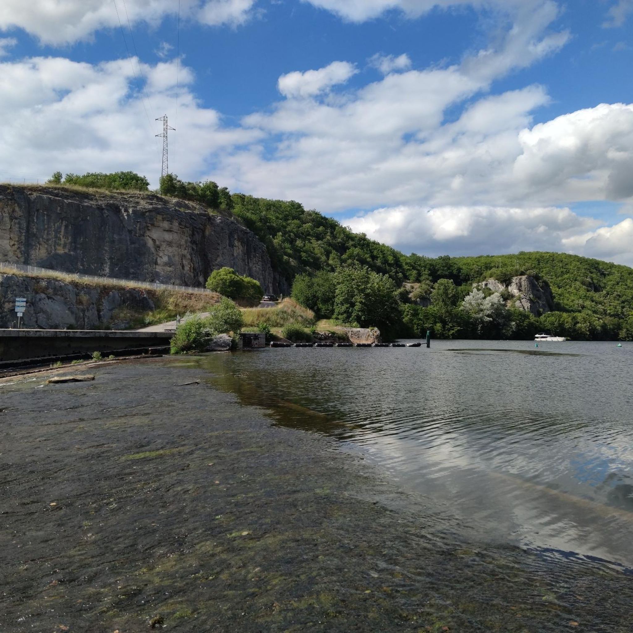
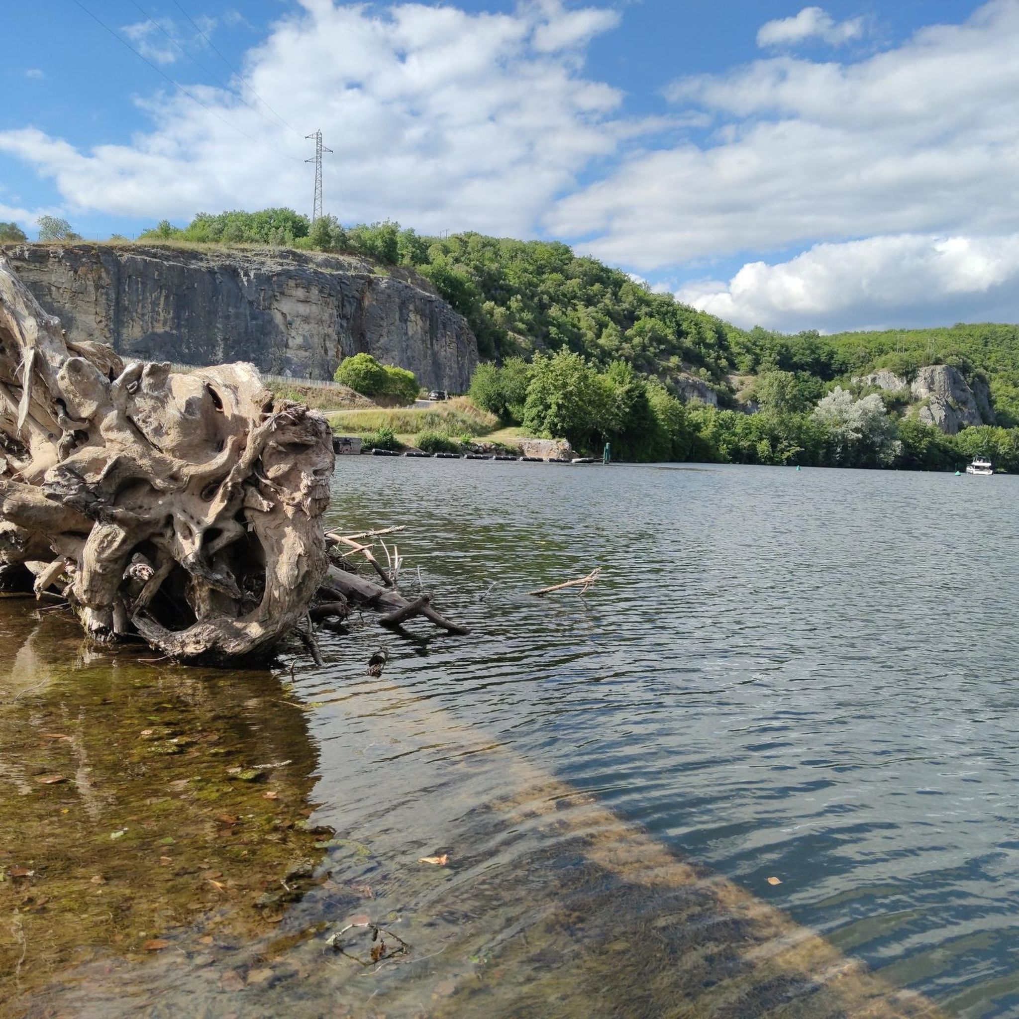
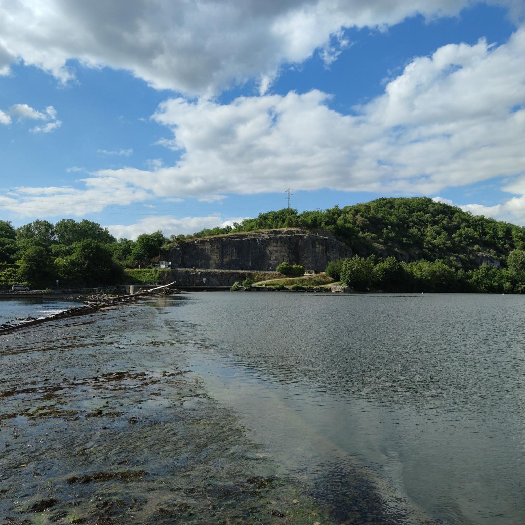
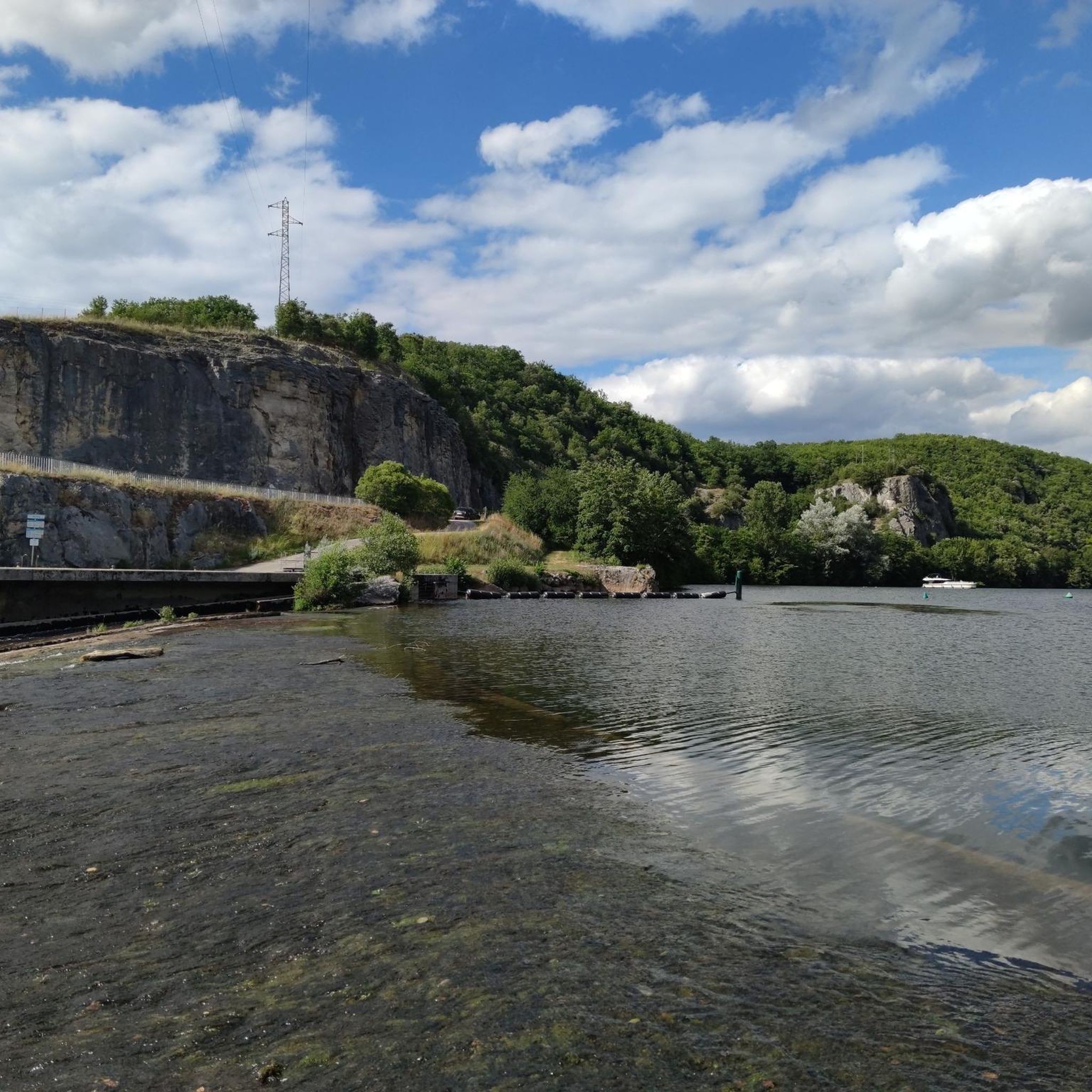
The magnificent corniche road overlooking the meanders of the river is located in the spectacular Lot valley, particularly on the heights of the limestone causse and cliffs. In Saint-Cirq-Lapopie: The Lapopie rock and the Bancourel dovecote offer a spectacular 360-degree plunging view over the river.
0
0
The Ganil towpath: Carved into the limestone cliff rock in 1845, it once allowed horses to tow barges up the Lot river. Between 1985 and 1989, the artist Daniel Monnier sculpted an impressive bas-relief here, representing local fauna and flora. The path connects Bouziès to Saint-Cirq-Lapopie over about 4 to 5 km of easy walking.
0
0
The Ganil towpath: Carved into the limestone cliff face in 1845, it once allowed horses to tow barges up the Lot. Between 1985 and 1989, artist Daniel Monnier sculpted an impressive bas-relief there depicting local fauna and flora. The path connects Bouziès to Saint-Cirq-Lapopie over about 4 to 5 km of easy walking.
0
0
In the heart of the Causses du Quercy Regional Natural Park. Located at the confluence of the Lot and Célé valleys, the village of Bouziès, with around 90 inhabitants, is world-renowned for its spectacular natural and historical heritage. The Château des Anglais: Fortifications from the 11th and 12th centuries anchored directly into the vertical cliff face overlooking the road and the river. This site once served as a fortified refuge for the inhabitants during conflicts.
0
0
The Voie Verte de la Vallée du Lot is gradually developing around Cahors by reusing the footprint of the old railway line (Soturac – Capdenac-Gare). It integrates more broadly into the region's major cycle route: the V86 (La Vallée du Lot à vélo).
0
0
The Valentré Bridge is one of the few fortified medieval bridges remaining in the world. Its Gothic military architecture makes it a masterpiece of defense and engineering. 1308: The start of construction: The decision to build the bridge was made by the consuls of Cahors to secure the western access to the city and adapt to the flourishing trade. 1308-1378: An endless construction site: The work lasted nearly 70 years, slowed down by the Black Death and the Hundred Years' War. It is from this legendary slowness that the famous legend of the Devil was born. 1879: The great restoration: Having become dilapidated, the bridge underwent a major restoration led by the architect Paul Gout (a student of Viollet-le-Duc). He chose to add the famous sculpture of the little devil on the central tower to immortalize the legend. 1998: Worldwide recognition: The bridge was inscribed on the UNESCO World Heritage list as part of the Routes of Santiago de Compostela.
0
0
The first bridge of Cabessut, called the "Pont Neuf", was built of stone in the 13th century by the consuls and clergy of the town. It originally had two defensive towers which were destroyed in 1816. The old stone bridge was demolished in the early 20th century (around 1906) to make way for a wider structure.
0
0
Frequently Asked Questions
What types of touring cycling routes can I expect around Lamagdelaine?
Lamagdelaine offers a diverse range of touring cycling routes, from gentle paths along the picturesque Lot Valley to more challenging ascents through varied terrain. You'll find options suitable for different preferences, including river paths, sections of old towpaths carved into rock, and routes with views of historical castles. The region's geography provides a mix of flat stretches and undulating hills.
Are there any easy touring cycling routes suitable for beginners or families?
Yes, Lamagdelaine has several easy routes perfect for a relaxed ride. A great option is the Poppy Field – Saint Bartholomew Church loop from Lamagdelaine, which is a 12.3 km trail offering a gentle ride through local landscapes.
What are some challenging touring cycling routes for experienced riders?
For experienced touring cyclists seeking a challenge, Lamagdelaine offers routes with significant elevation gain. Consider the The English Castle of Bouziès – Saint-Cirq-Lapopie loop from Arcambal, a 59.3 km trail leading through the Lot Valley, or the even longer The English Castle of Bouziès – Bouzies loop from Quercy, which spans over 106 km with substantial climbing.
What historical landmarks or natural features can I see along the cycling routes?
Many routes in the Lamagdelaine area offer views of significant landmarks and natural features. You can explore the unique Ganil lock and towpath, notably carved into bare rock. The impressive The English Castle of Bouziès, perched on cliffs, is visible on several routes. In nearby Cahors, the emblematic Valentré Bridge is a must-see, and the Mont Saint-Cyr viewpoint offers panoramic views of Cahors and the Lot River.
Are there any circular touring cycling routes in the area?
Yes, many of the touring cycling routes around Lamagdelaine are designed as loops, allowing you to start and end in the same location. Examples include the easy Poppy Field – Saint Bartholomew Church loop from Lamagdelaine and the more challenging The English Castle of Bouziès – Bouzies loop from Arcambal.
What do other touring cyclists say about the routes in Lamagdelaine?
The touring cycling routes around Lamagdelaine are highly regarded by the komoot community, with an average rating of 4.4 stars from over 270 reviews. Cyclists often praise the scenic beauty of the Lot Valley, the variety of terrain, and the opportunity to discover historical sites and unique natural features.
What is the best time of year to go touring cycling in Lamagdelaine?
The region is generally pleasant for cycling from spring through autumn. These seasons offer comfortable temperatures and lush landscapes, making it ideal to enjoy the scenic river routes and explore the area's natural beauty. Summer can be warm, but the Lot Valley often provides shaded sections.
Are there any routes that pass by the Lot River?
Absolutely. Lamagdelaine is situated in the picturesque Lot Valley, and many touring cycling routes follow the Lot River, offering serene backdrops and opportunities to ride along old towpaths. The Saint-Géry Bridge – Vers loop from Arcambal is one such route that features varied terrain and passes by the Saint-Géry Bridge over the Lot.
How many touring cycling routes are available in the Lamagdelaine area?
There are over 170 touring cycling routes available around Lamagdelaine, catering to a wide range of skill levels from easy to difficult. This extensive network ensures there's always a new path to explore.
Can I find places to rest or picnic along the routes?
Yes, the Lot Valley region is known for its well-maintained picnic areas. You'll find numerous spots along the scenic routes where you can take a break, enjoy a meal, and soak in the beautiful outdoors.
What kind of terrain should I expect on the touring cycling routes?
The terrain around Lamagdelaine is quite varied. You can expect mostly paved surfaces on easier routes, especially those following the river. More challenging routes will include undulating hills and significant elevation gains, often traversing through limestone cliffs and varied landscapes. Some paths may include sections of old towpaths.
Most popular routes around Lamagdelaine
Most popular attractions around Lamagdelaine

Get inspired with the komoot mobile app


Explore more
Browse the best Cycling routes in other regions.
