Top 7 Mountain Passes around San Andrés Y Sauces
Best mountain passes around San Andrés Y Sauces are found in the northern part of La Palma, a region characterized by dramatic mountainous terrain and deep ravines. The landscape features slopes extending from the Caldera de Taburiente down to the sea. This area offers exceptional hiking trails and routes through mountainous landscapes, providing challenging experiences with significant elevation changes. These paths traverse unique ecosystems, making them key attractions for those seeking mountain adventures.
Best mountain passes around San Andrés Y…
Last updated: July 1, 2026
Ascent to Roque de los Muchachos from Santa Cruz de la Palma
Highlight (Segment) • Mountain Pass
Especially back you can use the many trails left and right as a shortcut
take. On the approximately 33 …
Translated by Google •
Tip by

Cumbre Nueva Ridge Trail
Highlight • Trail
Translated by Google •
Tip by

Sign up now to discover places like this
Get recommendations on the best single tracks, peaks, & plenty of other exciting outdoor places.
Sign up for free
La Palma: Caldera, crater rim at Reventón Pass
Highlight • Mountain Pass
Translated by Google •
Tip by

GR 131 El Bastion
Highlight • Trail
Translated by Google •
Tip by

Llano Negro Ascent
Highlight (Segment) • Climb
Translated by Google •
Tip by

Sign up for free to discover even more mountain passes around San Andrés Y Sauces.
Sign up for free
Already have an account?
Start today with a free account
Your next adventure awaits.
Login or Signup
Popular around San Andrés Y Sauces

La Palma, El Hierro y La Gomera – explore the Canaries’ Green Islands on foot
Hiking around San Andrés Y Sauces
Running Trails around San Andrés Y Sauces
MTB Trails around San Andrés Y Sauces
Cycling around San Andrés Y Sauces
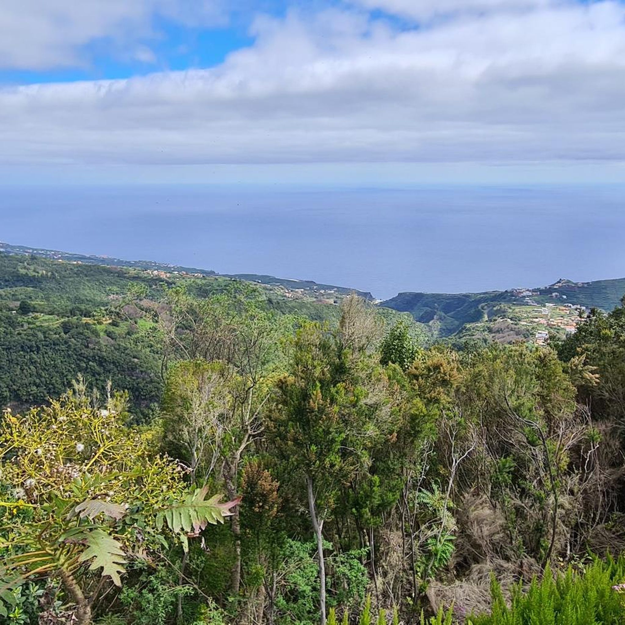
Road Cycling Routes around San Andrés Y Sauces
Mountain Hikes around San Andrés Y Sauces
Other adventures around San Andrés Y Sauces

Tips from the Community


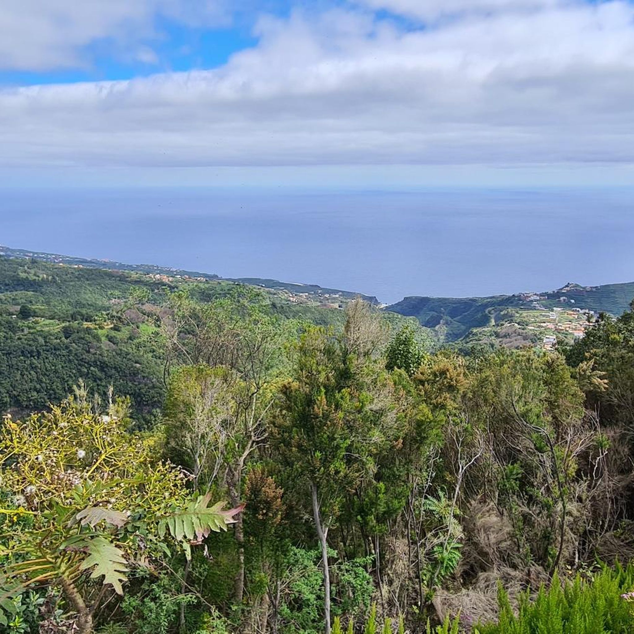
A beautiful king stage with impressive views, changing vegetation. The climb is a bit strenuous. Approx. 30% gradient (600 HM), the path is easy to walk. The long ridge path is equivalent to a road. If you like, you can walk this or choose the shady hiking path next to it. If you don't want to hike the long circuit, you have the opportunity to travel by bus or car to the El Pilar area and from there take a beautiful walk along the ridge path.
0
0

The "Llano Negro" climb leads from the coastal town of Santo Domingo 8 kilometers uphill to LP-1. Once you reach the top you also have the opportunity to get some food, as there is a supermarket and a gas station with a snack restaurant there. The pass itself is pleasant to drive at 6.8 percent; you will climb 688 meters here. The road is in great condition. In addition, you don't have to worry about much traffic here. The vegetation on the climb is relatively similar from bottom to top; at first you will pass individual houses directly on the road. At the top there are always vantage points on the side of the road where you can pause. The entire pass is relatively open and unforested, making it very vulnerable to wind on stormy days. This can be a bit uncomfortable, especially in the last stretch, on the long straight if there is a headwind. Once you have reached the top, you have the decision to continue towards the Roque de los Muchachos, or you can take the route towards Roque del Faro and thus towards the north of the island.
2
0

Very long and quite demanding climb that from the center of Santa Cruz leads up to the "Roque de Los Muchachos" at 2426 meters above sea level. In total there are almost 41 kilometers that must be covered to reach the desired summit, but during the entire journey you can admire the wonderful landscapes that gradually open up to our eyes. Overall it is a street with little traffic and very quiet; I highly recommend checking the weather conditions before venturing towards the top because temperatures can drop significantly in winter and finding yourself pedaling in temperatures close to zero is not such a remote eventuality as you might expect from an island of the Canaries
1
0

https://www.youtube.com/watch?v=dR59PSJ4vA8 The LP-4 highway, known as Carretera del Roque, is an impressive route in La Palma that extends for 47.84 kilometers. This mountain road leads to the Roque de Los Muchachos Astrophysical Observatory and the highest point of the island, connecting with the LP-403 in its final section. It begins in the Mirca neighborhood, in Santa Cruz de La Palma, goes up to the observatory and then descends to Hoya Grande in the Villa de Garafía. It is a spectacular route to enjoy panoramic views of the island.
0
0
The LP-4 highway, known as Carretera del Roque, is an impressive route in La Palma that extends for 47.84 kilometers. This mountain road leads to the Roque de Los Muchachos Astrophysical Observatory and the highest point of the island, connecting with the LP-403 in its final section. It begins in the Mirca neighborhood, in Santa Cruz de La Palma, goes up to the observatory and then descends to Hoya Grande in the Villa de Garafía. It is a spectacular route to enjoy panoramic views of the island.
0
0
Hard descent with continuous descents of the bike and some dangerous sections. The views are from another galaxy but I consider that unless you take it as a walk to take out the bike and push, there are more fun tracks and trials in other areas of the island. In my case, I abandoned the GR a few meters further on and after crossing a hell of stones and burned forest I reached a point where the descent was continuous for 60 minutes along some cartoonish tracks and paths.
1
0

Very long climb !!, at the top there is a small fountain.
0
0
Frequently Asked Questions
What are some challenging mountain passes or routes for experienced hikers and cyclists in San Andrés y Sauces?
For experienced adventurers, the Ascent to Roque de los Muchachos from Santa Cruz de la Palma is a demanding climb, covering almost 41 kilometers to over 2400 meters above sea level. Hikers can also tackle the Marcos y Cordero Springs Trail, a difficult 20.4 km hike with significant elevation changes through tunnels and laurel forests. Cyclists might also consider the Llano Negro Ascent, an 8-kilometer uphill climb with a consistent 6.8% gradient.
Which mountain trails offer the best panoramic views in San Andrés y Sauces?
Many trails provide stunning vistas. The Cumbre Nueva Ridge Trail is known for its impressive views and changing vegetation. After exploring Cubo de la Galga, you can ascend to the Mirador of Somada Alta, which offers panoramic views of Tenerife and La Gomera on clear days. The La Palma: Caldera, crater rim at Reventón Pass also provides very nice views from the Cumbre Nueva.
What unique natural features can I explore on the mountain trails around San Andrés y Sauces?
The region is rich in unique natural features. The Marcos y Cordero Springs Trail guides you through 13 rock-cut tunnels and past impressive springs. Cubo de la Galga immerses you in an ancient laurisilva forest, creating an 'enchanted forest' ambiance. Los Tilos Forest, a Biosphere Reserve, hosts one of the most significant laurel forests in the Canary Islands, featuring the striking 22-meter-high Cascada de Los Tilos waterfall.
What is the best time of year to visit the mountain passes and trails in San Andrés y Sauces?
La Palma generally enjoys a mild climate year-round. However, for mountain trails, it's advisable to check weather conditions, especially for higher altitudes. Temperatures can drop significantly in winter, and paths can be slippery during or after rain. Spring and autumn often offer pleasant temperatures for hiking, while summer can be warm but still suitable for higher-altitude trails.
Are there any specific safety precautions I should take when hiking these mountain trails?
Yes, caution is advised, especially on trails like Marcos y Cordero due to potential hazards like falling stones, landslides, or slippery paths, particularly during or after rain. Wearing a helmet is recommended for this trail. Always check weather conditions before heading out, as high-altitude areas can experience significant temperature drops and strong winds. Sturdy hiking footwear is essential for rocky sections.
What kind of hiking trails are available near the mountain passes in San Andrés y Sauces?
San Andrés y Sauces offers a variety of hiking trails. You can find difficult routes like the Marcos y Cordero Trail (20.4 km) or the Parque Natural de las Nieves circular route (10.5 km). Moderate options include the Cubo de la Galga circular route (7 km) and a shorter version of The springs of Marcos y Cordero (11.4 km). For easier walks, consider the San Andrés Village Center – El Guindaste Lime Kiln loop (3.1 km). You can find more details on these and other routes in the Hiking around San Andrés Y Sauces guide.
Are there any circular hiking routes in the mountainous areas of San Andrés y Sauces?
Yes, there are several circular hiking routes. The Cubo de la Galga offers a moderate circular route of roughly 7 km through its ancient laurisilva forest. Within Los Tilos Forest, a popular circular trail covers 10.5 km, leading through the natural park and past impressive waterfalls. You can explore more circular options in the Hiking around San Andrés Y Sauces guide.
Can I find easy or moderate hiking options suitable for families in San Andrés y Sauces?
While many trails involve significant elevation changes, there are moderate options like the Cubo de la Galga circular route (7 km), which offers an immersive experience in an ancient forest. The San Andrés Village Center – El Guindaste Lime Kiln loop (3.1 km) is an easy option. When planning with family, always consider the duration and difficulty grade of the specific route. Check the Hiking around San Andrés Y Sauces guide for more details on difficulty.
Are there cycling routes that incorporate mountain passes in the region?
Yes, San Andrés y Sauces and the surrounding areas offer challenging cycling routes. The Ascent to Roque de los Muchachos from Santa Cruz de la Palma is a well-known, demanding cycle way. The Llano Negro Ascent is another pleasant climb with good road conditions. You can find more cycling routes, including difficult and moderate options, in the Cycling around San Andrés Y Sauces guide and the Road Cycling Routes around San Andrés Y Sauces guide.
What do visitors particularly enjoy about the mountain passes and trails in San Andrés y Sauces?
Visitors frequently praise the breathtaking scenery, the unique ecosystems, and the challenging yet rewarding experiences. The changing vegetation and impressive views along trails like the Cumbre Nueva Ridge Trail are highly appreciated. Cyclists enjoy the long, quiet climbs and the stunning landscapes that unfold on routes like the Ascent to Roque de los Muchachos. The ancient laurel forests and the 'enchanted forest' ambiance of areas like Cubo de la Galga also leave a lasting impression.
What should I wear or bring for hiking in the mountainous areas of San Andrés y Sauces?
Given the varied terrain and potential for changing weather, sturdy hiking footwear is highly recommended, especially for rocky sections. Layers of clothing are advisable, as temperatures can vary significantly from lower to higher altitudes. For trails like Marcos y Cordero, a helmet is suggested due to potential falling stones. Always carry enough water, snacks, and a map or GPS device. A headlamp might be useful for tunnels or if you anticipate being out late.
Are there options for food or refreshments near the mountain trails?
While specific cafes directly on all trails are not guaranteed, some areas offer amenities. For instance, at the top of the Llano Negro Ascent, you can find a supermarket and a gas station with a snack restaurant. Some visitor centers, like the Los Tilos information center, may also have facilities. It's always a good idea to pack your own provisions, especially for longer or more remote hikes.
Most popular attractions around San Andrés Y Sauces

Get inspired with the komoot mobile app


Explore more
See even more epic mountain passes by checking out these guides around San Andrés Y Sauces:
