The best MTB trails around San Andrés Y Sauces
4.6
(79)
468
riders
38
rides
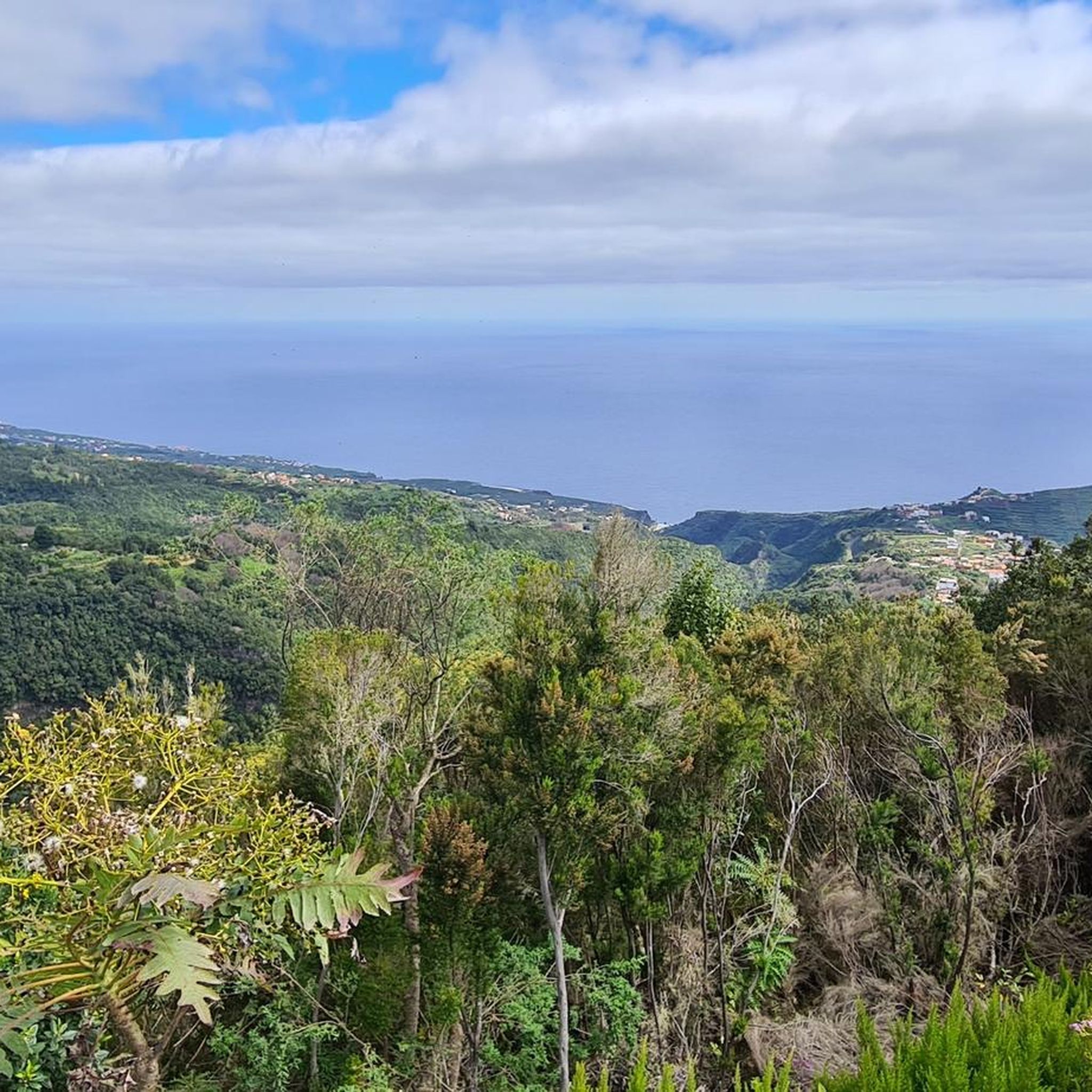
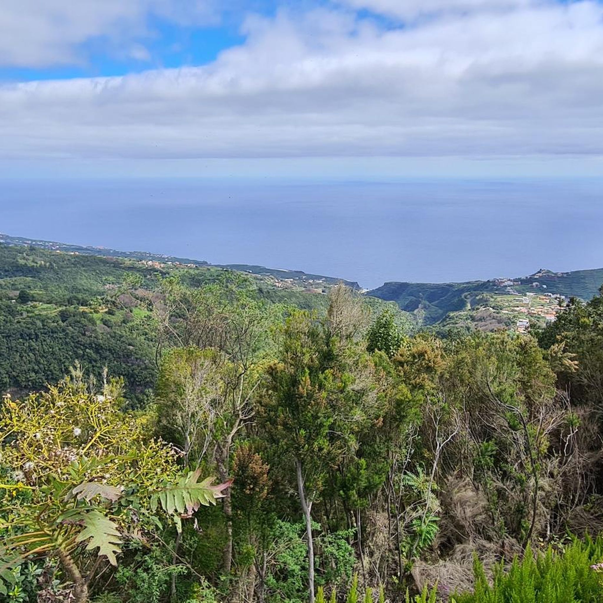
Mountain biking around San Andrés Y Sauces is characterized by a diverse and dramatic natural landscape on La Palma. The region features a green, lush environment with abundant water resources, defined by steep slopes and deep ravines that descend from the Caldera de Taburiente. Ancient laurel forests, such as the Forest of Los Tilos, provide unique subtropical terrain for mountain bike trails. The topography offers varied and challenging routes for cyclists.
Best mountain bike trails around San Andrés Y Sauces
…Last updated: October 18, 2026
5
riders
14.8km
01:33
520m
520m
Hard mountain bike ride. Good fitness required. Advanced riding skills necessary. Some portions of the route may require you to push your bike.
1
riders
15.3km
01:59
710m
700m
Hard mountain bike ride. Good fitness required. Advanced riding skills necessary. Some portions of the route may require you to push your bike.

1
riders
42.7km
05:49
2,510m
2,510m
Hard mountain bike ride. Very good fitness required. Suitable for all skill levels.
5.0
(4)
36
riders
27.8km
04:19
1,360m
1,360m
Hard mountain bike ride. Very good fitness required. Advanced riding skills necessary. Some portions of the route may require you to push your bike.
4.5
(2)
18
riders
39.3km
04:03
1,510m
1,510m
Hard mountain bike ride. Very good fitness required. Advanced riding skills necessary.
Get access to more routes and recommendations from other explorers.
Already have an account?
Our route recommendations are based on thousands of hikes, rides, and runs completed by other people on komoot.
Start today with a free account
Your next adventure awaits.
Popular around San Andrés Y Sauces


Other adventures around San Andrés Y Sauces

Tips from the Community

From the summit of Pico de la Cruz, there's a beautiful view that's well worth every effort! You won't be at the summit long before the summit lords come looking to see if they can find anything. In any case, I consider a visit to the summit a must.
0
0

Geologically speaking, this is an extremely fascinating erosion crater, whose 2 million-year-old volcanic history is evident in its spectacular steep slopes. Inside the 9-kilometer-diameter crater lies the famous national park of the same name, which offers beautiful hiking trails.
0
0

Make sure you bring everything you need. There are two camp sites for 20 people. There's electricity (if there's been enough sun), but no electrical outlets. There's no running water, but there's a cistern with filtered rainwater, which I drank.
4
0

If the weather is good, the short walk to the Pico de la Cruz is worth it. Great views across to Tenerife, Teide and Gomera, and if you're lucky you can also see El Hierro.
0
0

You can actually see one of the observatories from here on the other side of the Caldera.
1
0

The route runs through the middle of broom, pine forests and with a view of Teide from Tenerife. Simply a brilliant panoramic view
1
0

This is the last place to refill water on the way up.
0
0

The views are spectacular but if it is not on foot, prepare to suffer as much as you can imagine to get to this point, and access by e-bike or MTB is also prohibited. The Pico de la Cruz closes the Caldera de Taburiente in its northeastern area. It reaches an altitude of 2351 m above sea level. n. m. Access The PR-LP 7 trail is a Short Distance trail in La Palma (Canary Islands, Spain) that connects Pico de la Cruz with Los Sauces. The total length of the route is 16,300 meters. There are 2150 meters of elevation gain. The PR-LP trail is a Short Distance trail in La Palma (Canary Islands, Spain) that connects Pico de la Cruz with Barlovento. The total length of the route is 17,200 meters. There are 1810 meters of elevation difference.
0
0
Frequently Asked Questions
How many mountain bike trails are available in San Andrés y Sauces?
There are over 30 mountain bike trails around San Andrés y Sauces listed on komoot. These routes cater to various skill levels, though many are technically demanding due to the region's diverse and dramatic natural landscape.
What is the general difficulty level of mountain biking trails in San Andrés y Sauces?
The mountain biking trails in San Andrés y Sauces are predominantly challenging. Out of the 30 routes, 22 are rated as difficult, and 8 are moderate. The region's steep slopes, deep ravines, and varied terrain, including rocky sections and red soil, contribute to their technical nature.
Are there any family-friendly mountain bike trails in San Andrés y Sauces?
While the region is known for its challenging terrain, there are no trails specifically rated as easy for mountain biking in San Andrés y Sauces. However, some of the moderate routes might be suitable for families with older, experienced riders. For a more relaxed experience, consider exploring the area around Charco Azul, which offers natural swimming pools and a comfortable 1.5-kilometer walk, though not a dedicated bike trail.
What kind of natural features can I expect to see on the mountain bike trails?
Mountain biking in San Andrés y Sauces offers a rich variety of natural features. You can expect to ride through ancient laurel forests, such as the Forest of Los Tilos, which is a prime example of laurisilva. The trails also traverse steep volcanic slopes and deep ravines, offering dramatic landscapes and panoramic views. Some routes might even transition from alpine-style forests to deep jungle and out to the coastline.
Are there any trails that feature waterfalls or natural springs?
Yes, the region is rich in water features. The Forest of Los Tilos, a significant natural attraction, has a waterfall near its Interpretation Center. Additionally, the area is home to Los Nacientes de Marcos y Cordero, natural springs that are a major water source. While primarily a hiking trail, the Pista de Gallegos and Marcos y Cordero Loop leads through the lush Forest of Los Tilos, where you can experience the abundant vegetation fed by these waters. You can also find the Colorful Waterfall nearby.
Are there any circular mountain bike routes in San Andrés y Sauces?
Yes, there are circular routes available. For example, the Pista de Gallegos and Marcos y Cordero Loop is a substantial 42.7 km (26.5 miles) trail that takes you through the lush Forest of Los Tilos, typically completed in about 5 hours 49 minutes.
What do other mountain bikers enjoy most about the trails in San Andrés y Sauces?
The mountain bike trails in San Andrés y Sauces are highly rated by the komoot community, with an average score of 4.7 stars from over 60 reviews. Riders often praise the diverse and dramatic natural landscapes, the challenging terrain, and the unique experience of riding through ancient laurel forests and steep volcanic slopes.
Are there any notable viewpoints or landmarks along the mountain bike trails?
Absolutely. Many trails offer amazing views from top to bottom, traversing volcanic landscapes with panoramic vistas across the island. While not directly within San Andrés y Sauces, trails connect to Roque de los Muchachos, the highest point on La Palma, which offers spectacular views and is a starting point for demanding routes. The deep ravines and steep slopes themselves provide dramatic scenery throughout your ride.
What is the best time of year for mountain biking in San Andrés y Sauces?
La Palma generally enjoys a mild climate year-round, making mountain biking possible in most seasons. However, the lush environment and abundant water resources suggest that the region can experience rain, especially in the laurel forests. It's always advisable to check local weather forecasts before heading out, as red soil can become slippery when wet. Spring and autumn often offer pleasant temperatures for riding.
Is it possible to reach the mountain bike trails using public transport?
While specific public transport connections directly to trailheads can vary, San Andrés y Sauces is a municipality on La Palma. For detailed information on bus routes and schedules that might connect to areas near trail access points, it is best to consult the local public transport provider's website or inquire locally upon arrival. Having your own transport or arranging a shuttle is often the most convenient option for reaching more remote trailheads.
Are there any specific permits required for mountain biking on certain trails in La Palma?
Some protected natural areas in La Palma, particularly within national parks or sensitive ecological zones, may require permits for certain activities, including mountain biking. It is crucial to check with the local authorities or the Natural Park of Las Nieves administration, which includes the Forest of Los Tilos, for any specific permit requirements before planning your ride. You can find more general information about the municipality at visitlapalma.es.
Are dogs allowed on the mountain bike trails in San Andrés y Sauces?
Regulations regarding dogs on trails can vary, especially in protected natural areas like the Forest of Los Tilos. While some trails may permit dogs on a leash, others might have restrictions to protect wildlife or maintain the natural environment. It is recommended to check specific trail regulations or contact local park authorities before bringing your dog on a mountain bike ride.
Most popular attractions around San Andrés Y Sauces

Get inspired with the komoot mobile app


Explore more
Browse the best MTB trails in other regions.
