Top 5 Mountain Passes around Santa María De La Alameda
Best mountain passes around Santa María De La Alameda are situated within the Sierra de Guadarrama, offering a diverse landscape for outdoor activities. The region features varied terrain, from dense forests to open, rugged sections. This area provides numerous routes and trails for exploration, including historical sites and natural features. It is known for its natural beauty and varied altitudes, supporting diverse flora and fauna.
Best mountain passes around Santa María De La Alameda
- The most popular mountain pass is…
Last updated: July 1, 2026
Puerto de Malagón
Highlight • Mountain Pass
Translated by Google •
Tip by

Cruz Verde Pass
Highlight • Mountain Pass
Translated by Google •
Tip by

Sign up now to discover places like this
Get recommendations on the best single tracks, peaks, & plenty of other exciting outdoor places.
Sign up for free
Collado del Hornillo
Highlight • Mountain Pass
Translated by Google •
Tip by

Puerto de la Lancha
Highlight • Mountain Pass
Translated by Google •
Tip by

Start today with a free account
Your next adventure awaits.
Login or Signup
Popular around Santa María De La Alameda


Tips from the Community

The port of Malagón, also known as Alto de Abantos or Puerto de San Juan de Malagón, is a mountain pass located in the southwest area of the Sierra de Guadarrama. It has an altitude of 1590 meters and separates the Spanish provinces of Madrid and Ávila.
0
0

Legendary peak that not only has magnificent views but also plays a great role in the history of sports in Spain.
0
0

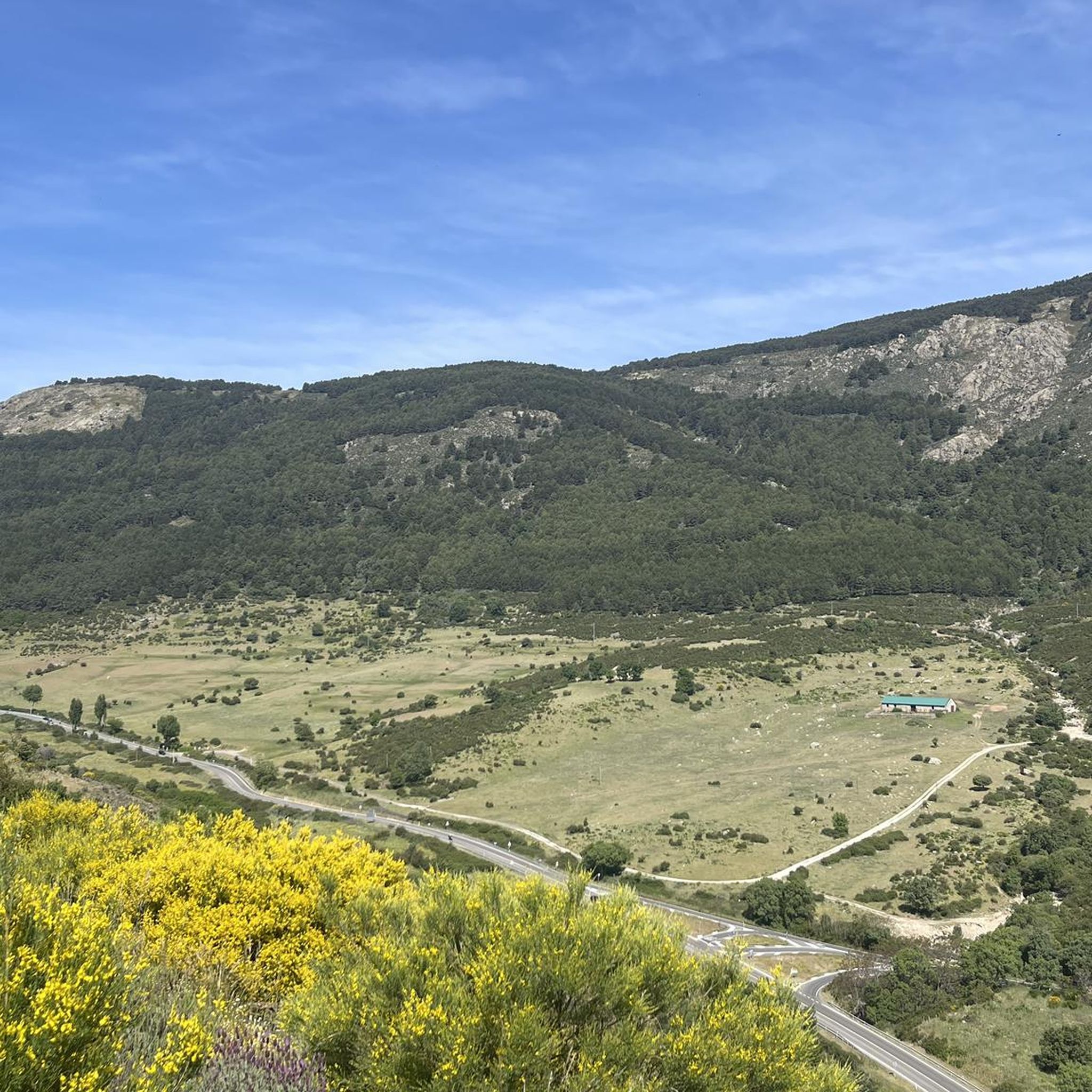
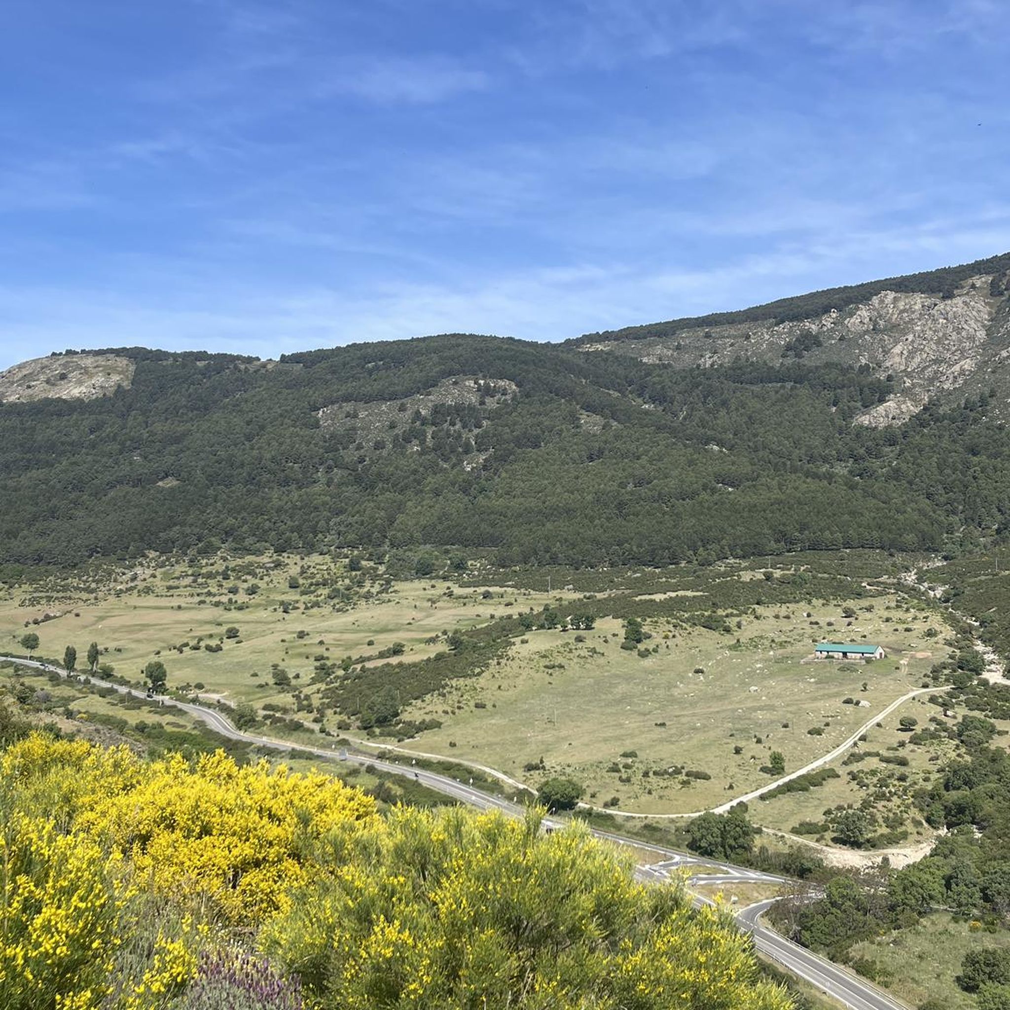
The port of Malagón, also known as Alto de Abantos or Puerto de San Juan de Malagón, is a mountain pass located in the southwest area of the Sierra de Guadarrama (mountain belonging to the Central System). It has an altitude of 1590 meters and separates the Spanish provinces of Madrid and Ávila. The regional road that crosses it connects the municipalities of San Lorenzo de El Escorial (Madrid) and Peguerinos (Ávila). To the west of the port extends the Malagón mountain range, which gives it its name. The mountain pass is located on the southern slope of Mount Abantos, which is why it constitutes the starting point of a path that leads to the top of said mountain.
0
0

Located on the forest track that connects Peguerinos with San Lorenzo de El Escorial, it has been crowned on several occasions by the Cycling Tour of Spain, this border port between Madrid and Ávila rewards us for the effort of the climb with amazing views of the community of Madrid. The ideal place to take a souvenir photo and enjoy the summit.
0
0
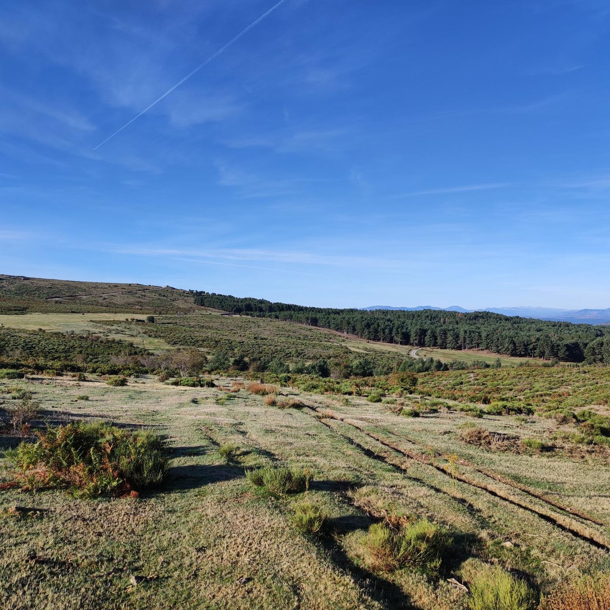
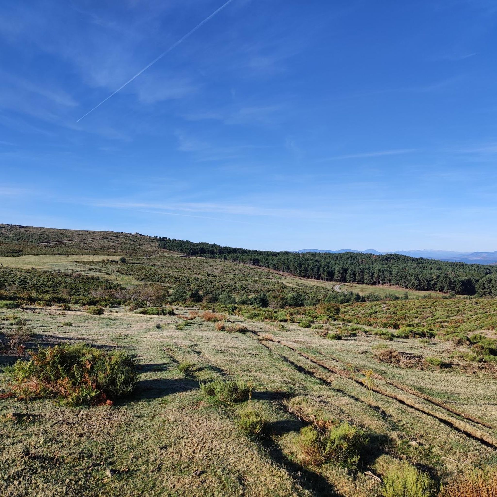
Located in the Cañada Real Leonesa as it passes through the province of Ávila arriving at Segovia, it can be a good resting point to have a snack in the tranquility of nature.
1
0

With its 125 meters, the Cruz Verde port is one of the best known by cyclists in Madrid. You can climb three totally different slopes, both in length and difficulty. From Zarzalejo, San Lorenzo de El Escorial or Robledo de Chavela. On weekends there are many motorcycles on the course.
1
0
The port of Malagón is located at an altitude of 1,590 meters at a crossroads on the road between San Lorenzo de El Escorial —Madrid— and Peguerinos —Ávila—. In either direction the climb is demanding.
0
0

Beautiful mountain pass located in the Sierra de Guadarrama and joining La Cruz de Hierro port, together with La Lancha, create a tough but beautiful route!
0
0
Frequently Asked Questions
What are some popular mountain passes for cyclists in Santa María de la Alameda?
Cyclists frequently visit the Cruz Verde Pass, known for its three distinct ascents varying in length and difficulty, and the Puerto de Malagón, which has been a significant part of many editions of the Tour of Spain. Both offer challenging climbs and rewarding views.
Are there challenging mountain passes for experienced cyclists in the region?
Yes, for experienced cyclists, the Puerto de Robledondo offers a significant climb with an average gradient of 6.7% and sections up to 11.4%. The Alto de Santa María de la Alameda, especially from Río Cofio, presents a demanding ascent with gradients reaching 14-15% on narrow, rough roads. These can be integrated into longer, challenging cycling routes.
What kind of natural scenery can I expect to see around the mountain passes?
The mountain passes are nestled within the Sierra de Guadarrama, offering diverse landscapes. You'll find dense forests, open rugged sections, and varied altitudes supporting rich flora and fauna. Routes often wind through pine forests, alongside rivers and streams, and feature viewpoints with expansive vistas, such as those along the Senda del Hornillo.
Are there any historical sites or cultural points of interest near the mountain passes?
Yes, the region has historical significance. Some trails pass by restored Civil War fortines, adding a cultural dimension to your outdoor experience. Additionally, the nearby 'Chair of Philip II' offers panoramic views of the El Escorial Monastery and the surrounding Guadarrama Valley.
What is the best time of year to visit the mountain passes in Santa María de la Alameda?
The Sierra de Guadarrama offers varied experiences throughout the year. Spring and autumn are ideal for pleasant temperatures for cycling and hiking. Summer provides warmer conditions, while winter can bring snow to higher altitudes, offering a different, often more challenging, landscape for those prepared for cold weather activities.
What outdoor activities can I do near these mountain passes?
Beyond exploring the passes themselves, the area is excellent for various outdoor activities. You can find numerous routes for gravel biking, cycling, and running. For example, there are challenging gravel biking loops like the 'Puerto de Malagón – Abantos Summit Sign loop' and extensive cycling routes such as the 'Cruz Verde Pass – Cruz Verde Pass loop'. You can explore more options on the Gravel biking around Santa María De La Alameda and Cycling around Santa María De La Alameda guide pages.
Are there specific hiking or running trails in the area?
Absolutely. The region is crisscrossed by numerous trails suitable for hiking and running. Notable routes include the Senda del Hornillo, known for its unique natural features like a waterfall and shaded forests, and the 'Seat of Philip II and La Herrería Forest Loop'. You can discover more trails on the Running Trails around Santa María De La Alameda guide page.
Are there any less-known or 'hidden gem' passes worth exploring?
While popular passes attract many, the Collado del Hornillo is a less-trafficked mountain pass located in the Cañada Real Leonesa. It offers a tranquil resting point amidst nature and is part of routes not typically suitable for beginners, providing a more secluded experience.
What do visitors particularly enjoy about the mountain passes in this area?
Visitors appreciate the blend of physical challenge and breathtaking natural scenery. Cyclists often highlight the demanding ascents and the historical significance of passes like Puerto de Malagón. The diverse terrain, from dense forests to rugged sections, and the opportunities for both strenuous activity and serene exploration are also highly valued.
Is there public transport access to the mountain passes or nearby trails?
While specific public transport details for each pass vary, Santa María de la Alameda itself is accessible. For detailed information on reaching specific trailheads or passes via public transport, it's recommended to check local transport schedules and routes for the Sierra de Guadarrama region.
Are there any family-friendly options for exploring the mountain passes or nearby areas?
While many mountain passes present challenging climbs, the broader Santa María de la Alameda area offers trails suitable for families. Routes like the Senda del Hornillo provide pleasant walks through shaded forests with natural features, which can be enjoyed by families looking for less strenuous options. Always check the difficulty rating of specific routes before heading out.
Most popular routes around Santa María De La Alameda
Most popular attractions around Santa María De La Alameda

Get inspired with the komoot mobile app


Explore more
See even more epic mountain passes by checking out these guides around Santa María De La Alameda:
