The best running trails around Santa María De La Alameda
4.5
(20)
1,679
runners
138
runs
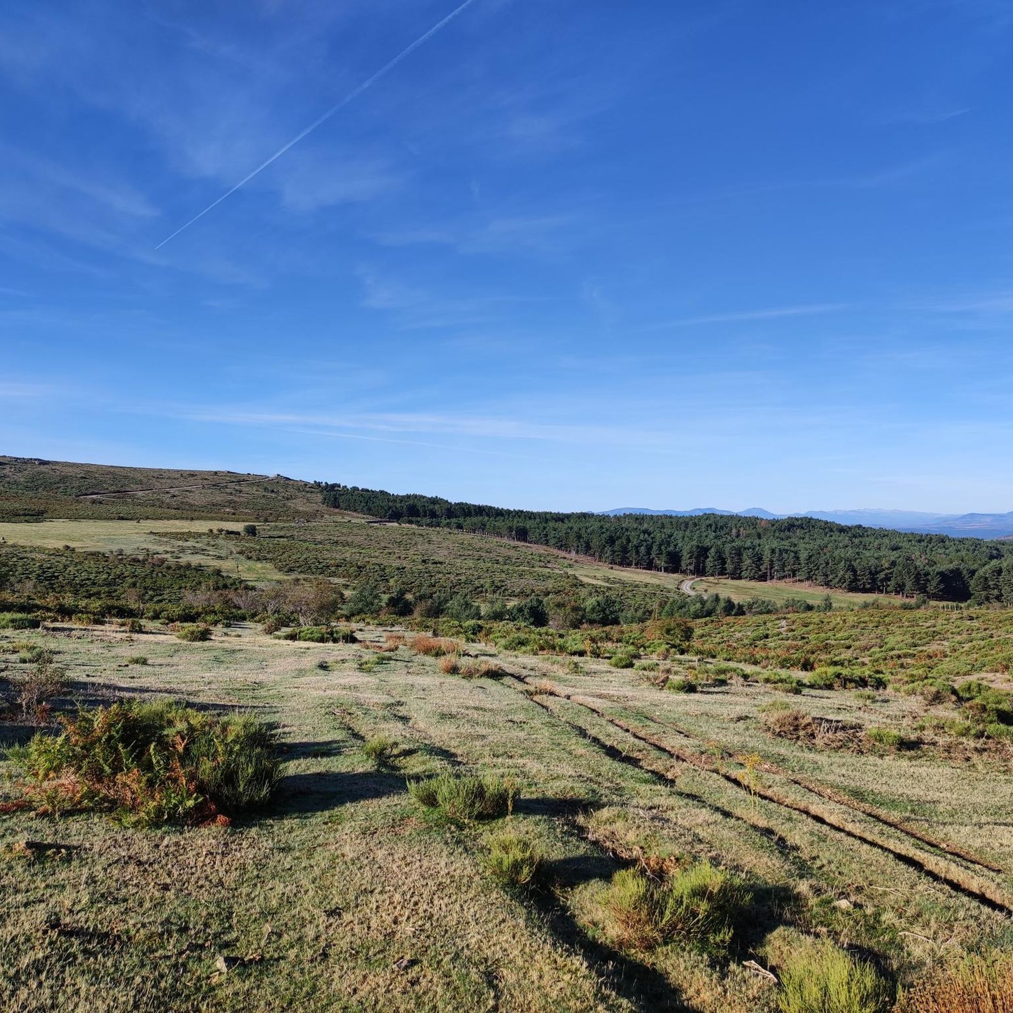
Jogging routes around Santa María De La Alameda are set within the Sierra de Guadarrama mountains, offering diverse natural landscapes for outdoor activity. The region features a varied terrain with granite rock formations, wooded pastures, and fertile river valleys carved by the Alberche, Cofio, and Perales rivers. This area is also part of a Special Protection Area for Birds, highlighting its ecological importance. Joggers can explore a mix of mountainous formations and expansive green areas.
Best jogging routes around Santa…
Last updated: July 7, 2026
8
runners
5.79km
00:44
130m
130m
This difficult 3.6-mile jogging route through Parque de La Herrería offers panoramic views from La Silla de Felipe II and historic intrigue.
8.40km
01:11
300m
290m
Jog the Senda del Hornillo, a difficult 5.2-mile (8.4 km) loop in Sierra de Guadarrama, featuring the Hornillo Waterfall and Aceña Reservoir

Sign up for free
4.0
(1)
52
runners
9.24km
01:46
620m
620m
Hard run. Very good fitness required. Sure-footedness, sturdy shoes and alpine experience required.
30
runners
Hard run. Very good fitness required. Sure-footedness, sturdy shoes and alpine experience required.
11
runners
Hard run. Good fitness required. Sure-footedness, sturdy shoes and alpine experience required.
Get access to more routes and recommendations from other explorers.
Sign up for free
Already have an account?
Our route recommendations are based on thousands of hikes, rides, and runs completed by other people on komoot.
Start today with a free account
Your next adventure awaits.
Login or Signup


Tips from the Community

One of the best MTB ports in Madrid
0
0
They say (I don't know how true this is) that Philip II used to watch the progress of the construction of the colossal monastery from this very spot during his hunting trips, which he was very fond of. Whether true or not, it makes for a beautiful viewpoint, especially in autumn.
1
0

The Chair of Philip II is a famous granite viewpoint in San Lorenzo de El Escorial, near Madrid. Legend has it that King Philip II used it to view the construction of the Monastery of El Escorial. However, experts believe it was actually an ancient Celtic altar, possibly used for rituals. Today, it's a popular hiking spot with stunning views of the monastery and its surroundings.
3
0

The Bear Cave in San Lorenzo de El Escorial is not a real, deep cave in the geological sense, but rather a peculiar rock formation in the Bosque de la Herrería. It is a natural cavity formed by the arrangement of large granite boulders that create a kind of shelter or "cave." It is located in the Bosque de la Herrería, a protected natural area declared a UNESCO World Heritage Site. It is on a very popular hiking trail, relatively close to the Chair of Philip II and the Fuente de los Hermanitos. Its name comes from the fact that its shape and size might evoke the idea of a bear's den, although no real bear ever lived there. Rather, it is a visual attraction, especially for children. Beyond being a "real" cave, it is a point of interest on the hiking trails in the Bosque de la Herrería.
0
0

The Chair of Philip II is a group of platforms and seats carved in granite. According to tradition, Philip II used this site as an observatory during the construction of the Monastery of El Escorial. However, some theories suggest that it could be an ancient Vetton altar. This site offers spectacular views of the Monastery of El Escorial and its surroundings, including the La Herrería forest. The route to reach the Chair of Philip II is quite accessible and can be done in approximately one hour from the San Lorenzo de El Escorial Tourist Office.
1
0
The Chair of Philip II is a group of platforms and seats carved in granite. According to tradition, Philip II used this site as an observatory during the construction of the Monastery of El Escorial. However, some theories suggest that it could be an ancient Vetton altar. This site offers spectacular views of the Monastery of El Escorial and its surroundings, including the La Herrería forest. The route to reach the Chair of Philip II is quite accessible and can be done in approximately one hour from the San Lorenzo de El Escorial Tourist Office.
1
0

In this living museum of forest species you can learn a lot about the ecosystems of the area, traditional forestry practices or the relationship that has existed over the years between the Sierra and its surroundings. There is a signposted itinerary of about two kilometers that can be done as long as it is within the Center's hours. For more information, you can consult: https://arboretoluisceballos.blogspot.com/
0
0

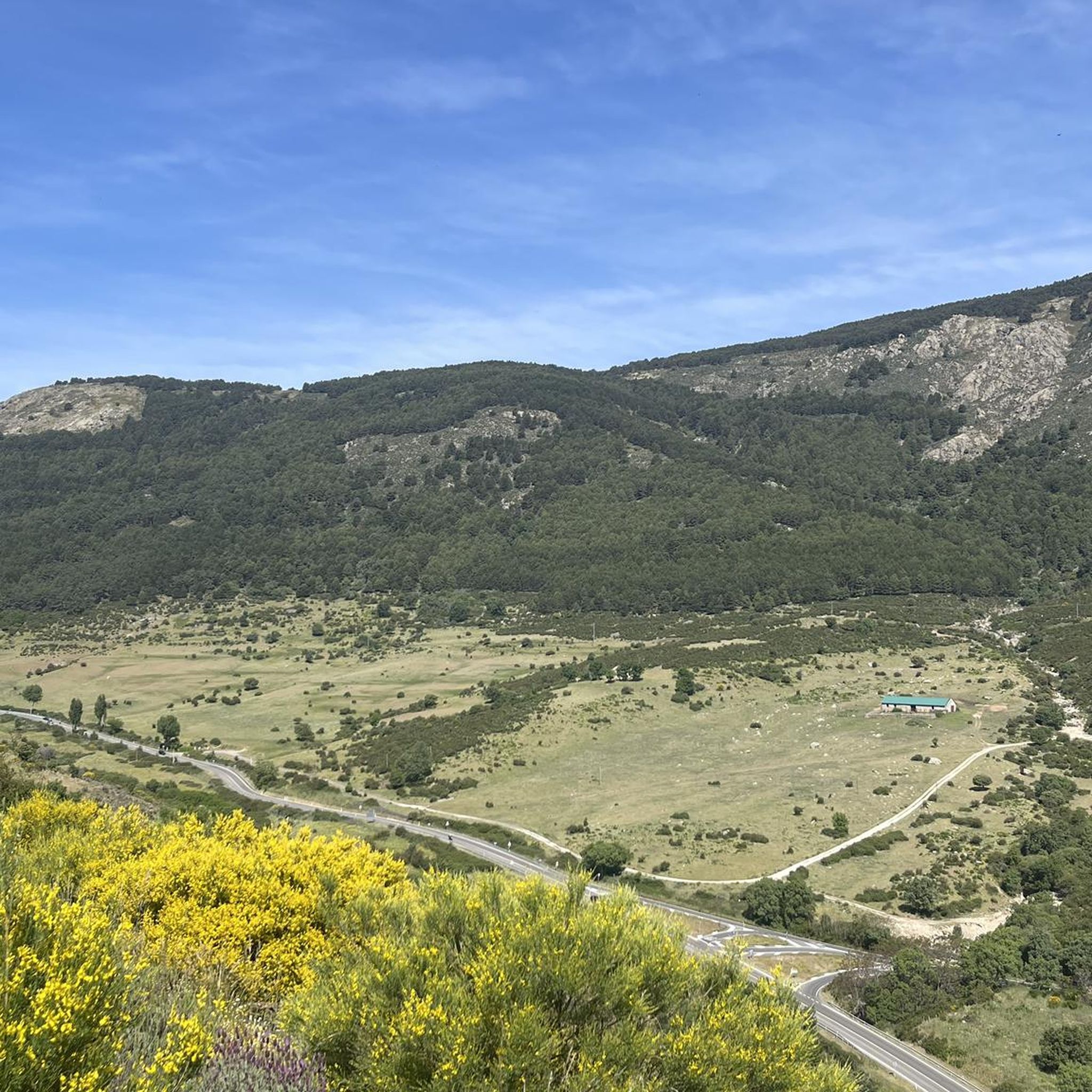
The port of Malagón, also known as Alto de Abantos or Puerto de San Juan de Malagón, is a mountain pass located in the southwest area of the Sierra de Guadarrama. It has an altitude of 1590 meters and separates the Spanish provinces of Madrid and Ávila.
0
0
Frequently Asked Questions
How many running routes are available in Santa María De La Alameda?
Santa María De La Alameda offers a wide selection of over 130 running routes, catering to various preferences and fitness levels. The terrain is diverse, ranging from river valleys to mountainous paths within the Sierra de Guadarrama.
Are there easy running routes suitable for beginners in Santa María De La Alameda?
Yes, for those new to running or looking for a less strenuous experience, there are 8 easy running routes available in Santa María De La Alameda. These paths often wind through expansive green areas and offer a gentle introduction to the region's natural beauty.
Can I find routes with waterfalls in the Santa María De La Alameda area?
Absolutely! The region is home to the impressive Chorrera del Hornillo waterfall. You can explore it via routes like the Senda del Hornillo, which follows a river and ascends through forest tracks, offering a rewarding experience for nature lovers.
Are there any circular running routes in Santa María De La Alameda?
Many of the running paths in Santa María De La Alameda are circular, allowing you to start and finish at the same point. A popular option is the Seat of Philip II and La Herrería Forest Loop, which offers scenic views and a varied terrain.
What kind of natural landscapes can I expect to see while running here?
The region boasts diverse natural landscapes, including granite rock formations, dehesas (wooded pastures) with holm oaks, and fertile river valleys carved by the Alberche, Cofio, and Perales rivers. You'll encounter a mix of mountainous formations and expansive green areas, providing a rich ecological environment for your run.
Are there any historical or notable landmarks along the running trails?
Yes, the area is rich in history and notable landmarks. You can run past sites like the Seat of Philip II, a granite viewpoint offering spectacular panoramic views. Other attractions include Mount Abantos and the Royal Monastery of San Lorenzo de El Escorial in the broader area.
What do other runners enjoy most about the trails in Santa María De La Alameda?
The running routes in Santa María De La Alameda are highly rated by the komoot community, with an average score of 4.4 stars from over 24 reviews. Runners often praise the stunning scenery, the variety of terrain from mountain peaks to river valleys, and the well-defined paths that cater to different ability levels.
Are there running routes that are suitable for families?
While specific 'family-friendly' designations aren't always explicit, many of the easier and moderate routes, particularly those along river valleys or through less challenging wooded areas, can be enjoyed by families. Look for routes with lower elevation gain and shorter distances for a comfortable family outing.
Can I bring my dog on the running trails in Santa María De La Alameda?
Many natural trails in Spain, including those in Santa María De La Alameda, are generally dog-friendly, especially if your dog is on a leash. However, it's always advisable to check local regulations or specific route details for any restrictions, particularly in protected areas or during certain seasons.
What is the best time of year for running in Santa María De La Alameda?
Santa María De La Alameda experiences a temperate Mediterranean climate. Spring and autumn generally offer the most pleasant temperatures for running, with lush landscapes and comfortable conditions. Summer can be warm, especially at midday, while winter offers cooler, crisp air, though some higher elevation paths might be affected by weather.
Are there opportunities for wildlife spotting while running?
Yes, the area is part of a Special Protection Area for Birds (ZEPA), known as 'Encinares del río Alberche y río Cofio.' This highlights its ecological importance and rich biodiversity. Runners might spot various bird species, including the Iberian Imperial Eagle and Black Vulture, especially in quieter, less trafficked areas.
How challenging are the running routes in this region?
The routes in Santa María De La Alameda offer a good mix of challenges. While there are 8 easy routes, the majority are classified as moderate (45 routes) or difficult (79 routes), featuring significant elevation changes and varied terrain. For example, the Abantos – Mount Abantos loop is a difficult trail with substantial elevation gain.
Most popular routes around Santa María De La Alameda
Most popular attractions around Santa María De La Alameda

Get inspired with the komoot mobile app


Explore more
Browse the best Running Trails & Routes in other regions.
