The best MTB trails around Santa María De La Alameda
4.6
(341)
3,392
riders
14
rides
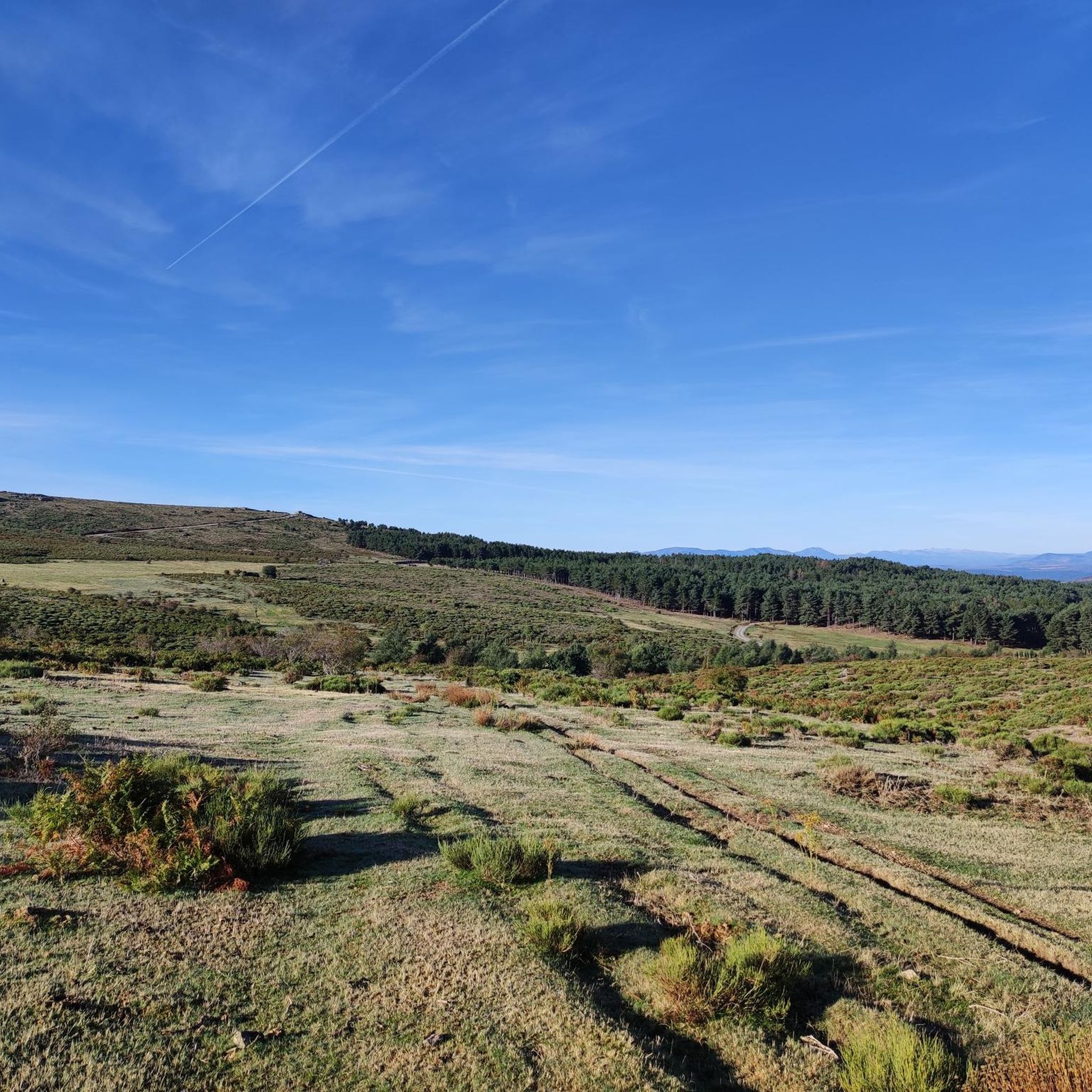
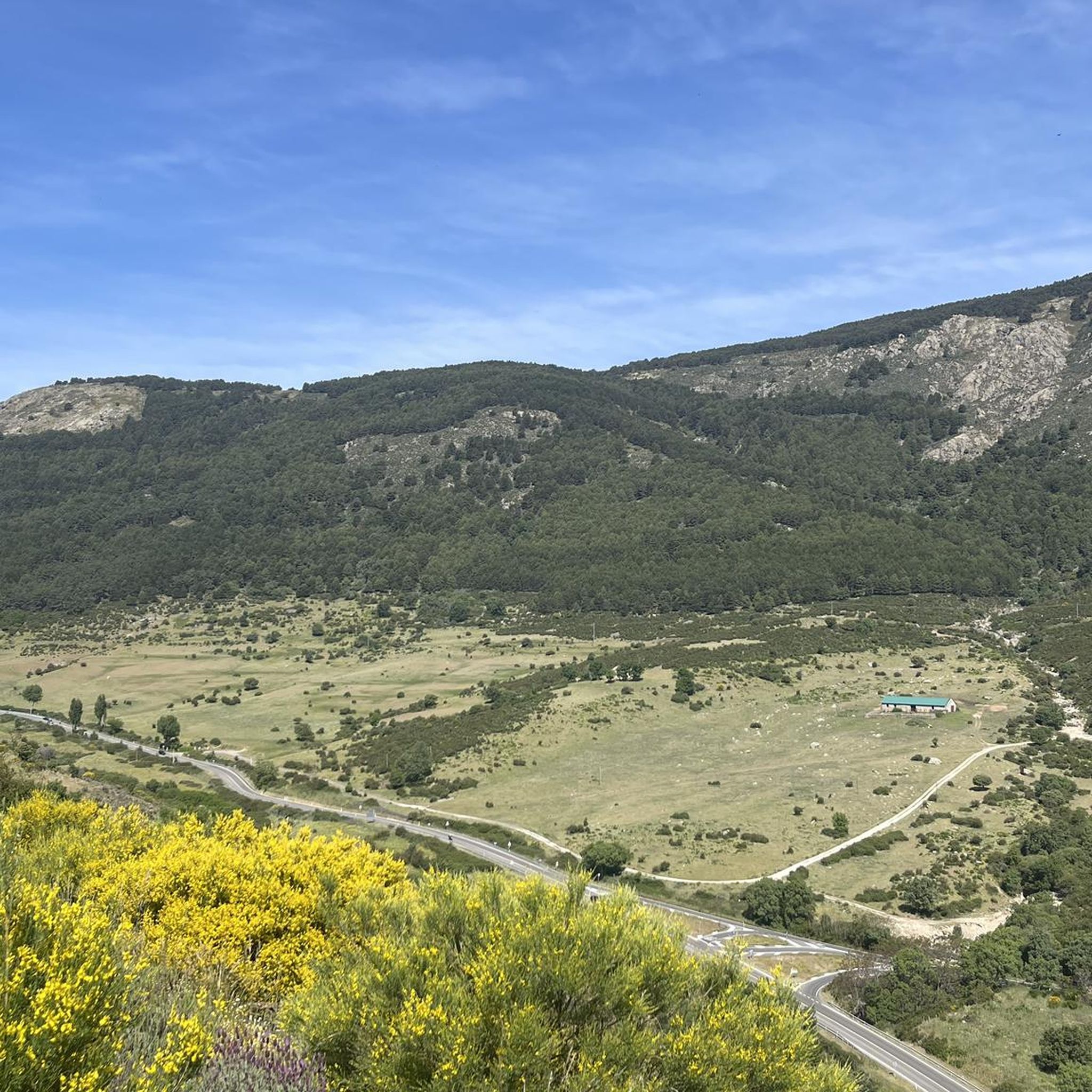
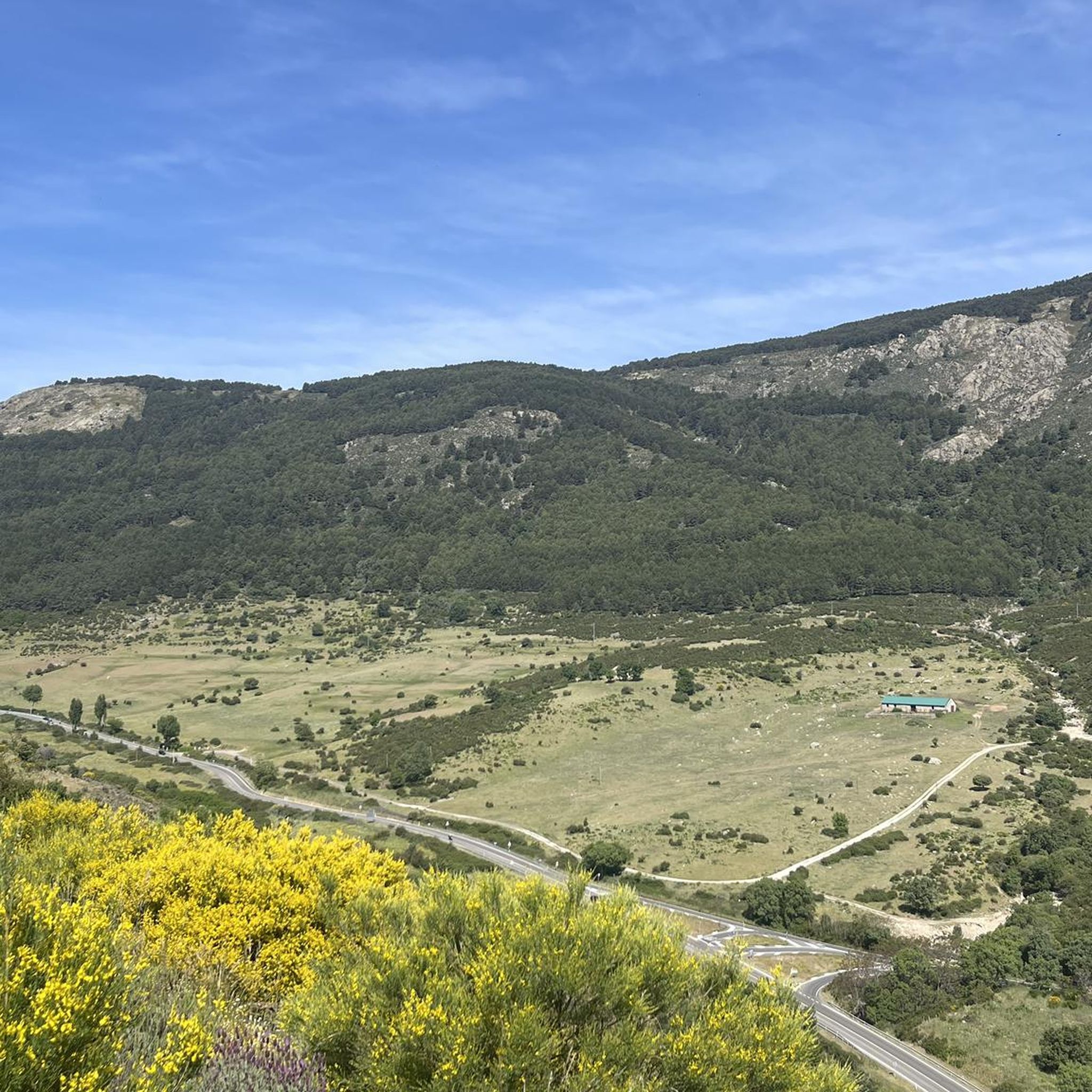
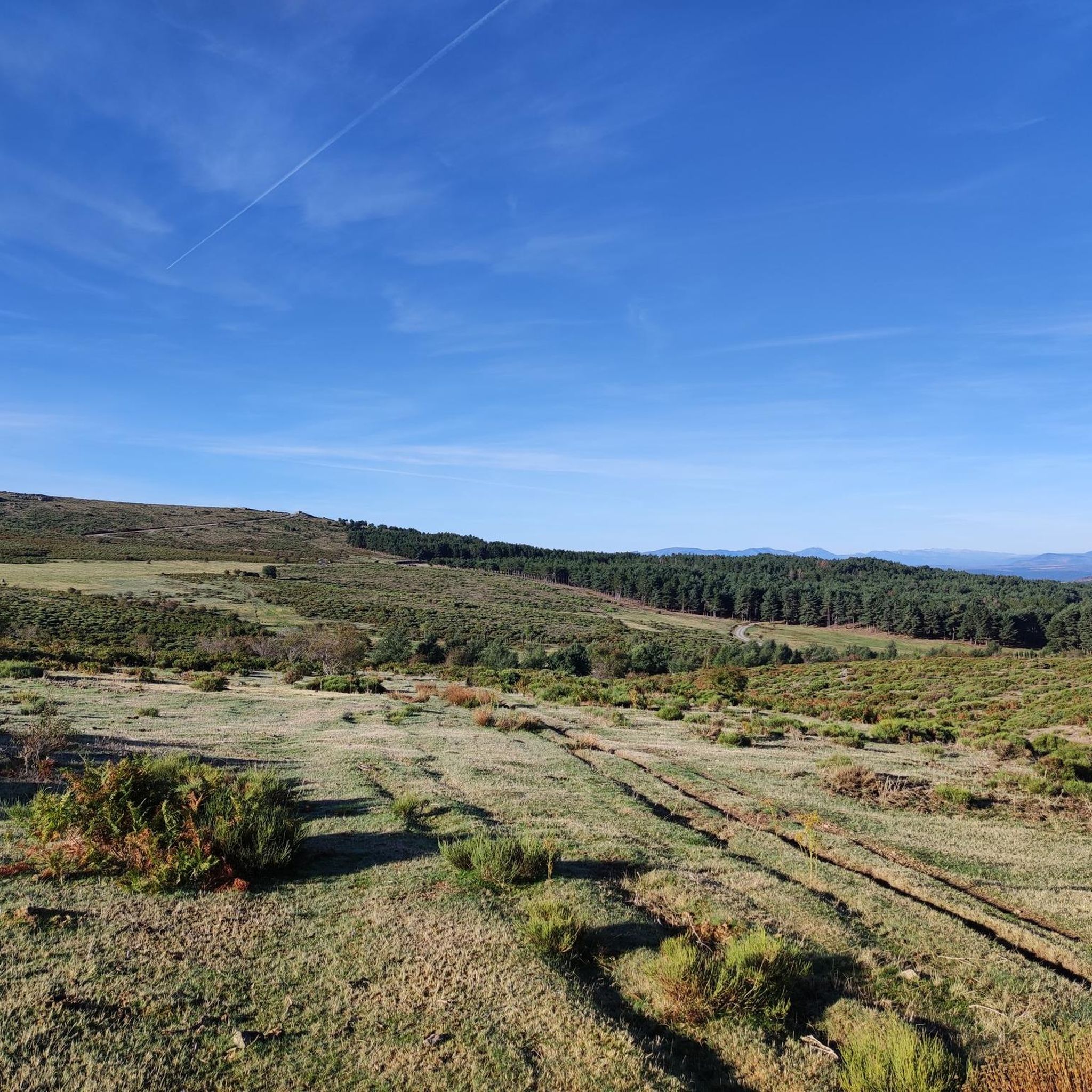
Mountain biking around Santa María De La Alameda offers diverse landscapes within the Sierra Oeste of Madrid. The region is characterized by mountainous terrain, including significant elevations like Los Tientos-Abantos, and a network of rivers such as the Alberche and Cofio. Extensive holm oak forests and granite formations contribute to varied and rugged riding conditions. This area acts as a natural corridor through the Central System, providing a mix of challenging climbs and scenic routes.
Best mountain bike trails around Santa María De La Alameda
- The most popular mountain bike trail is Mount Abantos and La Aceña Reservoir Loop, a 21.5 miles (34.6 km) trail that takes 3 hours 21 minutes to complete, offering diverse terrain and scenic reservoir views.
- Another top favourite among local mountain bikers is Cerro de la Cabeza and Cerro de la Cancha Loop, a moderate 11.2 miles (18.0 km) path exploring the area's hills and varied landscapes.
- Local mountain bikers also love the To the Three Provinces from Sta. Mía de la Alameda via the Engineer — Sierra de Guadarrama, a 51.5 miles (82.9 km) trail leading through the Sierra de Guadarrama, often completed in about 8 hours 27 minutes.
- Mountain biking around Santa María De La Alameda is defined by mountainous terrain, holm oak forests, and granitic formations. The network offers options for different ability levels, with routes ranging from moderate to difficult.
- The routes in Santa María De La Alameda are highly rated by the komoot community with an average score of 4.6 stars from over 300 reviews. More than 3,600 mountain bikers have used komoot to explore Santa María De La Alameda's varied terrain.
Last updated: July 7, 2026
3
riders
34.6km
03:22
890m
890m
This moderate 21.5-mile mountain biking route in Sierra de Guadarrama offers diverse terrain, challenging climbs, and scenic reservoir views
1
riders
18.0km
02:04
640m
640m
This moderate 11.2-mile mountain biking loop in Sierra de Guadarrama offers 2094 feet of elevation gain and takes just over 2 hours.

Sign up for free
Hard mountain bike ride. Very good fitness required. Advanced riding skills necessary. Some portions of the route may require you to push your bike.
5.0
(5)
73
riders
63.6km
05:49
1,410m
1,410m
Hard mountain bike ride. Very good fitness required. Advanced riding skills necessary. Some portions of the route may require you to push your bike.
36
riders
76.9km
07:47
1,720m
1,720m
Hard mountain bike ride. Very good fitness required. Advanced riding skills necessary.
Get access to more routes and recommendations from other explorers.
Sign up for free
Already have an account?
Our route recommendations are based on thousands of hikes, rides, and runs completed by other people on komoot.
Start today with a free account
Your next adventure awaits.
Login or Signup

Tips from the Community

Precious and mythical trail in the Sierra de Guadarrama. It has everything: stones, roots, clean trail with flow, steps, etc.
0
0

The Monastery of El Escorial was built by King Philip II in the 16th century to commemorate a military victory and serve as a royal pantheon for the Habsburg dynasty. Designed by architects Juan Bautista de Toledo and Juan de Herrera, it is characterized by its sober, Renaissance style. Today it is a UNESCO World Heritage Site.
5
0
Nice climb along a forest track from the Aceña reservoir to the Casa de la Cueva.
0
0
Hostel 8 km from the town of Peguerinos (Avila) and 14 km from El Escorial and Alto de los Leones. In a beautiful spot in the Sierra de Guadarrama.
0
0
Nice climb from the Aceña Reservoir to the Casa de la Cueva Hostel that goes up the Navalacuerda stream.
0
0

The monastery of El Escorial, also known as San Lorenzo del Escorial, is located in Spain, in the autonomous community of Madrid, in the municipality of San Lorenzo de El Escorial. It was built by Philip II as a residence and pantheon of the kings of Spain; it was built between 1563 and 1584 to be a monastery and church, as well as a royal residence. In 1984 it was declared a UNESCO World Heritage Site. San Lorenzo de El Escorial is considered the eighth wonder of the world.
1
0

Nice monument to Draeselia, easy to see from the road
1
0
Beautiful lake in the Ciudad Ducal urbanization, near Navas del Marqués, one of the first urbanizations in Spain.
0
0
Frequently Asked Questions
What kind of terrain can I expect on mountain bike trails in Santa María De La Alameda?
The region offers diverse and rugged terrain, characterized by mountainous areas with significant elevations like Los Tientos-Abantos, Barranco de la Cabeza, and Cerro de la Cancha. You'll also find extensive holm oak forests, 'dehesas' (Mediterranean open woodlands), and granite formations. Rivers like the Alberche and Cofio crisscross the area, adding to the varied landscape.
Are there mountain bike routes suitable for beginners in Santa María De La Alameda?
While Santa María De La Alameda is known for its challenging terrain, there are routes that cater to different skill levels. The guide lists 14 mountain bike routes, with 6 classified as moderate. For example, the Mount Abantos and La Aceña Reservoir Loop is a moderate 34.6 km route offering diverse terrain and scenic reservoir views.
What are some of the longer or more challenging mountain bike routes available?
For experienced riders seeking a challenge, there are 8 difficult routes in the area. A notable option is the To the Three Provinces from Sta. Mía de la Alameda via the Engineer — Sierra de Guadarrama, an 82.9 km trail with significant elevation gain, typically taking over 8 hours to complete. Another challenging option is the Puerto de Malagón – Abantos Summit Sign loop from Robledondo, which covers 63.6 km.
Are there any circular mountain bike routes in the area?
Yes, many of the mountain bike routes in Santa María De La Alameda are circular, allowing you to start and end in the same location. Examples include the Mount Abantos and La Aceña Reservoir Loop and the Cerro de la Cabeza and Cerro de la Cancha Loop, both offering varied landscapes.
What kind of natural attractions can I see along the mountain bike trails?
The trails often pass through areas with significant natural beauty. You might encounter notable peaks like Mount Abantos or Cabeza Líjar Summit. The region also features natural monuments such as the Seat of Philip II viewpoint, the Hornillo Waterfall, and the Bear Cave.
Are there any historical or cultural points of interest near the mountain bike routes?
Beyond the natural landscapes, Santa María de la Alameda and its hamlets (like Navalespino, Robledondo, and Las Herreras) retain examples of traditional agricultural architecture. You can also find historic sites such as the 16th-century church of Nuestra Señora de la Alameda, the Canal del Escorial, and remnants of Civil War fortifications like machine-gun nests and trenches in the surrounding areas.
What do other mountain bikers say about the trails in Santa María De La Alameda?
The mountain bike routes in Santa María De La Alameda are highly rated by the komoot community, with an average score of 4.6 stars from over 300 reviews. More than 3,600 mountain bikers have used komoot to explore the area's varied terrain, often praising the diverse landscapes and challenging climbs.
Is there public transport access to the mountain bike trails in Santa María De La Alameda?
Santa María de la Alameda is accessible, and while specific public transport options for bikes vary, the region is part of the Madrid community, which generally offers connections. It's advisable to check local bus or train schedules for routes that accommodate bicycles to the starting points of your chosen trails.
Are there any routes that offer particularly scenic views?
Many routes in Santa María De La Alameda offer rewarding views due to the mountainous terrain. The Mount Abantos and La Aceña Reservoir Loop provides scenic reservoir views, and routes exploring peaks like Los Tientos-Abantos and Cerro de la Cancha offer panoramic vistas of the Sierra Oeste and the Central System.
What is the best season for mountain biking in Santa María De La Alameda?
The varied climate of the Sierra Oeste means that spring and autumn generally offer the most pleasant conditions for mountain biking, with milder temperatures and lush landscapes. Summer can be hot, especially at lower elevations, while winter may bring colder temperatures and potential snow at higher altitudes, requiring appropriate gear.
Are there any mountain bike routes that pass by rivers or water features?
Yes, the region is crisscrossed by a dense network of rivers and streams, including the Alberche, Cofio, and Perales rivers. These watercourses contribute to a lush environment with fertile plains. Routes often follow or cross these rivers, providing picturesque sections, such as those along the clean and natural Cofio river.
What are the typical elevation gains on mountain bike trails in this area?
The mountainous terrain means significant elevation gains are common. For example, the moderate Mount Abantos and La Aceña Reservoir Loop has an elevation gain of around 890 meters, while more difficult routes like the To the Three Provinces from Sta. Mía de la Alameda via the Engineer — Sierra de Guadarrama can involve over 1,800 meters of climbing.
Most popular routes around Santa María De La Alameda
Most popular attractions around Santa María De La Alameda

Get inspired with the komoot mobile app


Explore more
Browse the best MTB trails in other regions.
