Top 5 Mountain Passes around Pollino National Park
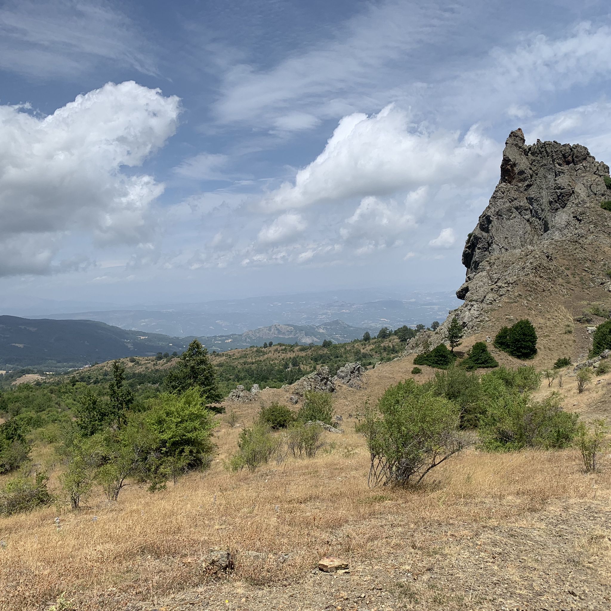
Best mountain passes around Pollino National Park are located within Italy's largest national park, spanning the regions of Basilicata and Calabria. This protected mountainous area features diverse terrain, including dolomitic rocks, limestone ramparts, deep gorges, and high-altitude pastures. The park is characterized by significant peaks, extensive forests, and a variety of natural features that serve as important access points and viewpoints.
Best mountain passes around Pollino National Park
- The most popular mountain passes is Grande Porta del Pollino from Piani…
Last updated: July 11, 2026
Colle dell'Impiso
Highlight • Mountain Pass
Translated by Google •
Tip by

Grande Porta del Pollino from Piani del Pollino
Highlight • Mountain Pass
Translated by Google •
Tip by

Sign up now to discover places like this
Get recommendations on the best single tracks, peaks, & plenty of other exciting outdoor places.
Sign up for free
Scalone Pass
Highlight • Mountain Pass
Translated by Google •
Tip by

Pollino National Park
Highlight • Natural Monument
Translated by Google •
Tip by

Scenic route from Scalea to Papasidero in Parco Nazionale del Pollino
Highlight (Segment) • Trail
Translated by Google •
Tip by

Start today with a free account
Your next adventure awaits.
Login or Signup
Popular around Pollino National Park
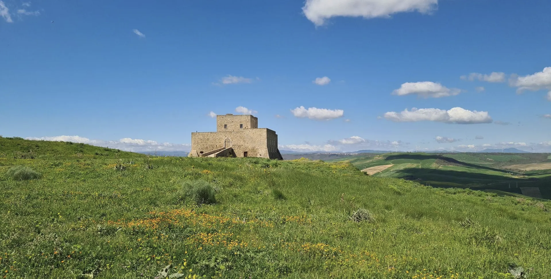
Basilicata by bike – discover itineraries in this unique land
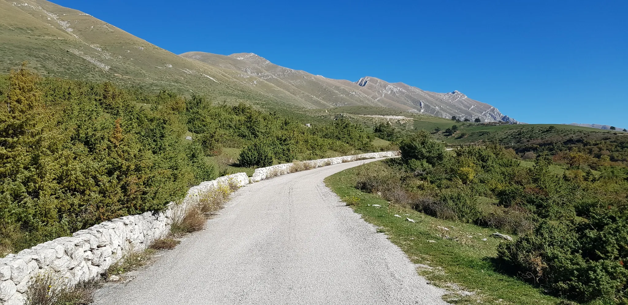
The Apennine Cycleway (Part 2) - From Umbria to Calabria
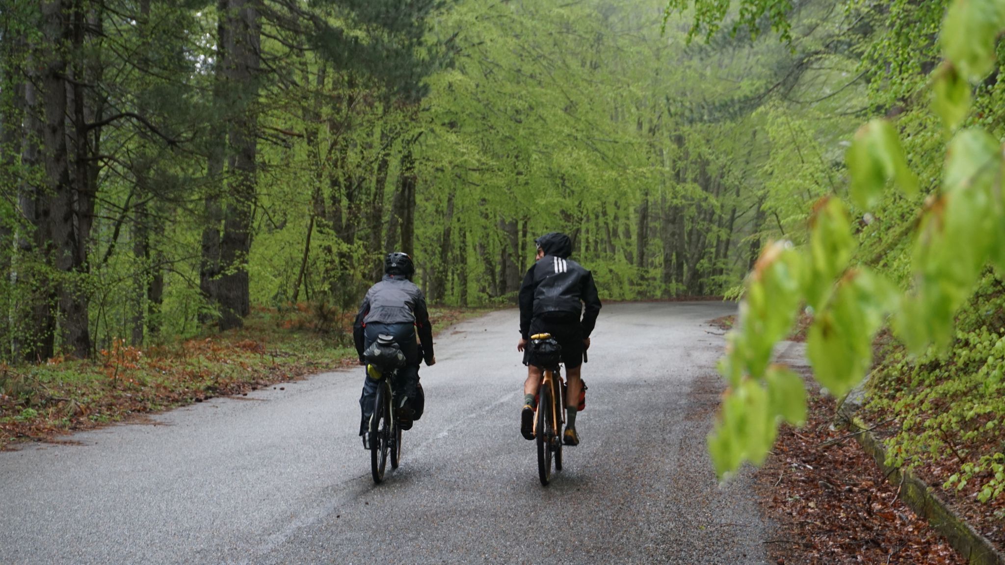
The unexpected mountain – Ciclovia Parchi Calabria
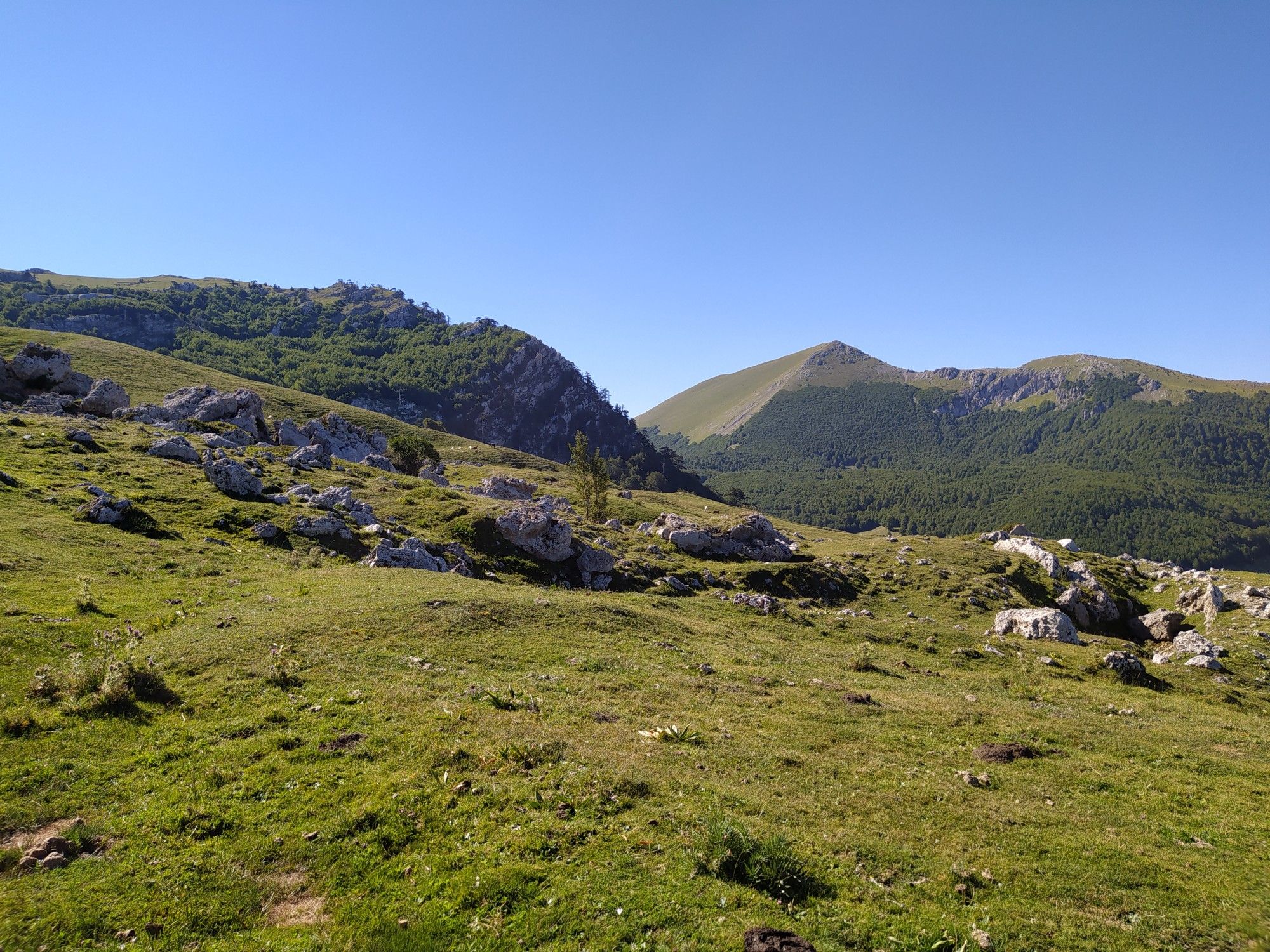
Among the ancient villages and lush forests – Sentiero Italia

Along the backbone of Calabria – Sentiero Italia
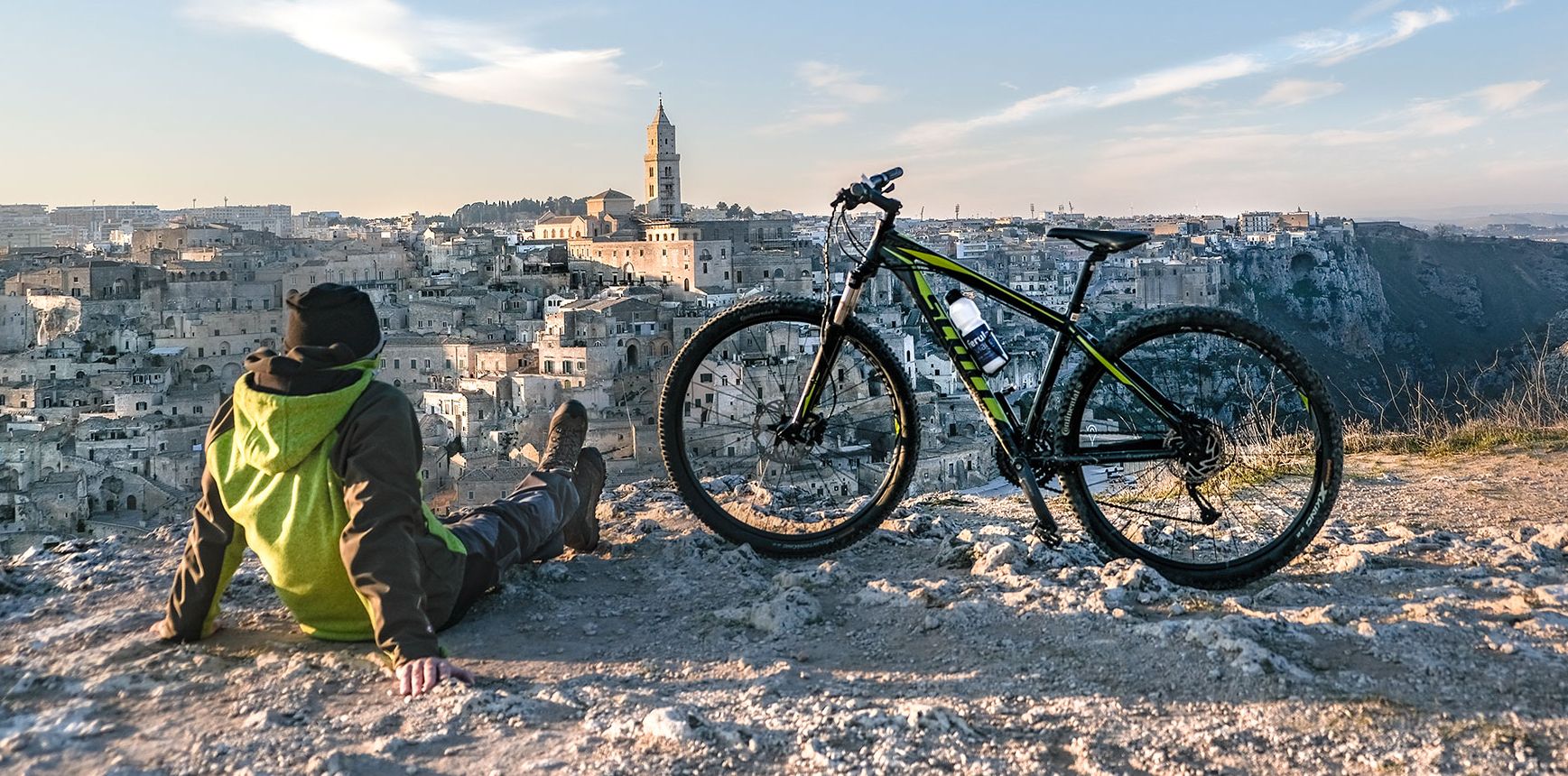
Between unspoilt nature and millenary history — Italy’s Basilicata by bike
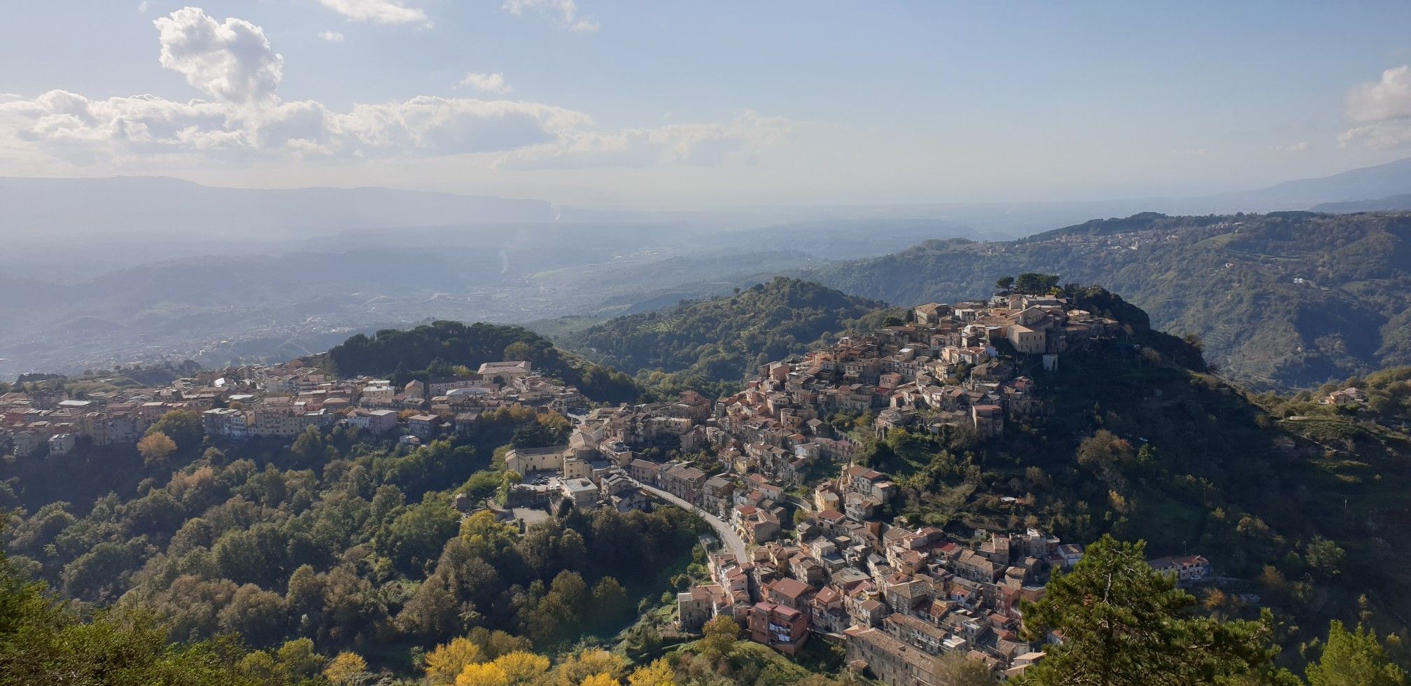
Explore art and culture in Italy – cycling Tours in Calabria's National Parks
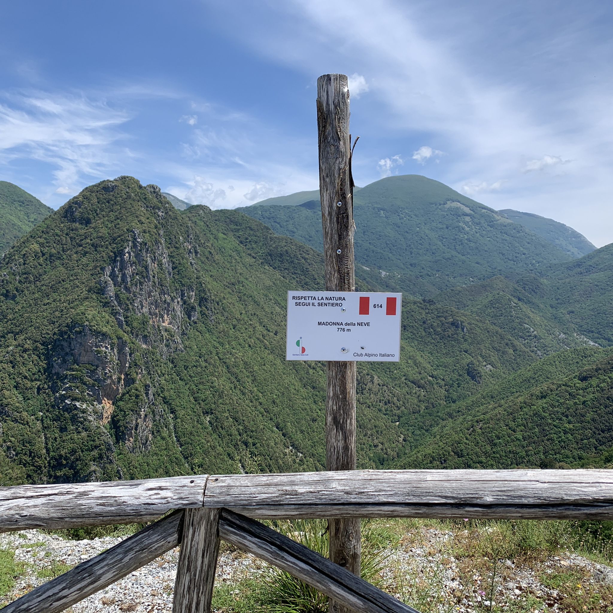
Hiking around Pollino National Park
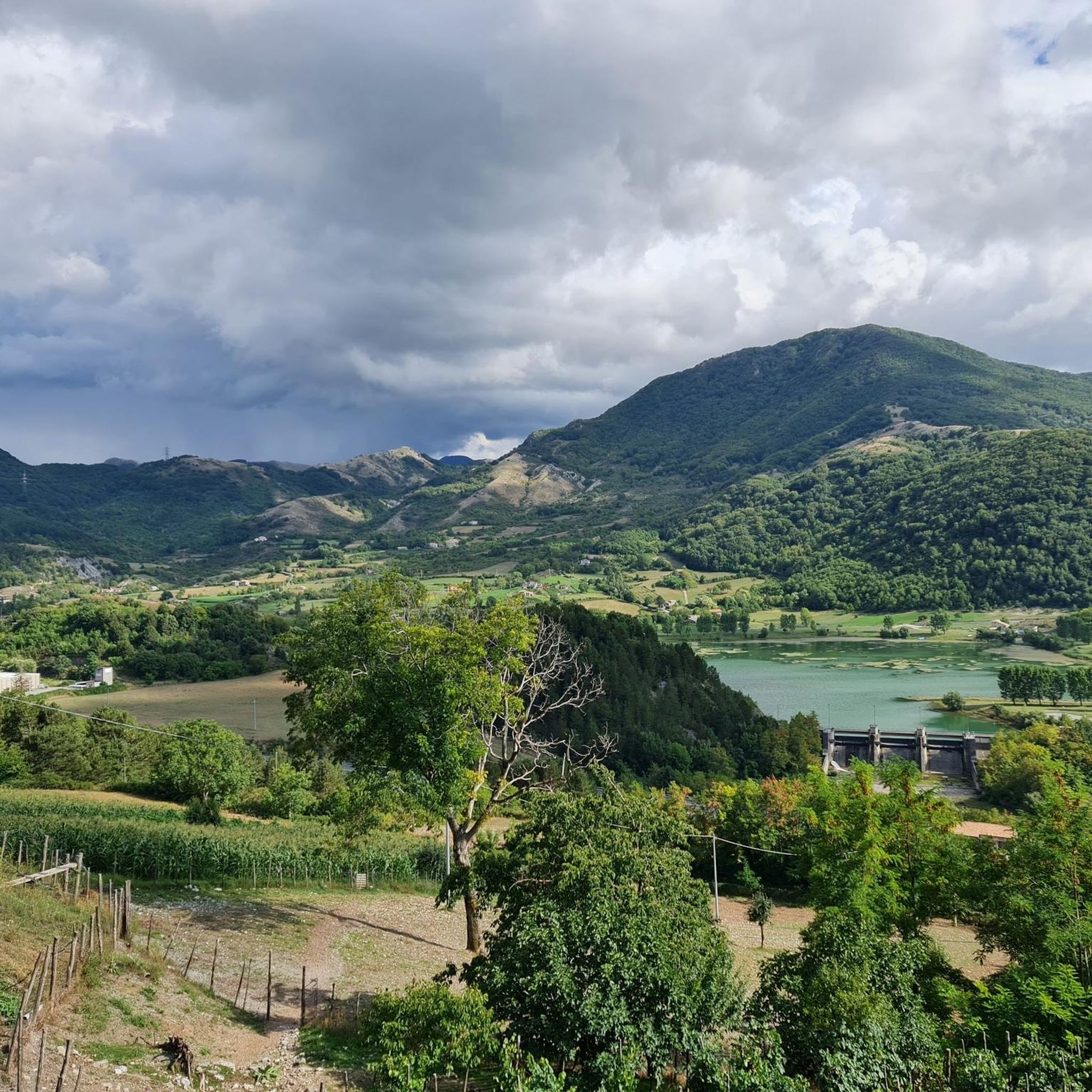
Running Trails around Pollino National Park
MTB Trails around Pollino National Park
Other adventures around Pollino National Park


Tips from the Community

Collateral route to the Calabrian parks cycle path
0
0

Beautiful road that leads to Passo dello Scalone from S. Agata D'Esaro, surrounded by mountains and nature
1
0

The name could derive from codda impisa, or steep, steep pass. Source: Davide of InfoPollino
1
0

Between the Lucanian Apennines and the Calabrian Apennines.
1
0

The Scalone pass is a pass at an altitude of 740 meters which divides the Lucanian and Calabrian Apennines. It is located in the Pollino National Park along the road that connects Belvedere Marittino and Sant'Agata di Esaro.
1
0

Colle dell'Impiso is the starting point of numerous paths, mostly traveled by hikers on foot but which can also be followed by mountain bike lovers. A ride in the Pollino Park is an unforgettable experience.
1
0
The Impiso hill is a starting point for many itineraries in the Pollino National Park. A fabulous place immersed in the greenery of this beautiful land.
0
0

It is the largest national park in Italy and is located between Calabria and Basilicata. The headquarters of the park is located in the municipality of Rotonda (PZ)
2
0
Frequently Asked Questions
What are the most notable mountain passes and high-altitude access points in Pollino National Park?
Among the significant points are Grande Porta del Pollino from Piani del Pollino, a natural monument at about 1,900 meters above sea level, serving as an entrance to Piani del Pollino. Another key location is Scalone Pass, situated at 740 meters, which divides the Lucanian and Calabrian Apennines. Additionally, Colle Impiso, at 1,573 meters, is a popular starting point for many hikes, offering access to panoramic views from Piano Ruggio.
What kind of natural features can I expect to see around the mountain passes in Pollino National Park?
The region boasts a diverse landscape, including dolomitic rocks, limestone ramparts, deep gorges, and high-altitude pastures. You'll find extensive forests, significant peaks like Serra Dolcedorme and Monte Pollino, and unique geological formations such as karst caves and glacial cirques. The ancient Heldreich's pine, the park's symbol, is often found at higher altitudes.
Are there challenging trails or excursions accessible from these mountain passes?
Yes, areas like Passo dello Scalone serve as starting points for challenging excursions within the park. From Colle Impiso, you can embark on hikes to summits like Serra del Prete, and the broader Pollino Massif offers numerous high-altitude points and challenging trails for experienced hikers.
What wildlife might I encounter while exploring the mountain passes?
Pollino National Park is home to exceptional biodiversity. While exploring, you might spot golden eagles, Italian wolves, and various other wildlife species that thrive in this protected mountainous environment.
What outdoor activities can I do near the mountain passes in Pollino National Park?
The park offers a wide range of outdoor activities. You can find numerous running trails, mountain biking routes, and cycling tours. Many of these routes provide access to the park's scenic beauty and high-altitude areas.
Are there any scenic driving routes through the mountain pass areas?
Yes, the Scenic route from Scalea to Papasidero in Parco Nazionale del Pollino is a popular choice. This trail offers a beautiful drive through the park's natural landscape, with gradients never steeper than 8%, making it a pleasant journey.
What is the significance of Colle Impiso in Pollino National Park?
Colle Impiso, located at 1,573 meters, is a crucial access point and a common starting point for many of the park's hikes. It provides access to Piano Ruggio, a plateau offering panoramic views of prominent peaks like Timpone di Viggianello, Coppola di Paola, and Serra del Prete. It's also known for the iconic Loricato pines in the surrounding areas.
What is the best time of year to visit the mountain passes in Pollino National Park?
The high peaks of the Pollino Massif remain snow-capped from November to May. For hiking and exploring the passes, late spring (May-June) and early autumn (September-October) generally offer pleasant weather and clear trails. Summer can also be a good time, especially for higher altitudes, but be prepared for warmer temperatures.
What makes Grande Porta del Pollino a significant natural monument?
The Grande Porta del Pollino, at approximately 1,900 meters above sea level, is considered the entrance area to Piani del Pollino. It offers clear, expansive views from the summits of Monte Pollino or Serra del Prete, making it a prominent landmark and a natural gateway to the high plains.
What are the highest points accessible in Pollino National Park?
The Pollino Massif features five summits over 2,000 meters. The highest peaks include Serra Dolcedorme at 2,267 meters and Monte Pollino at 2,248 meters. These challenging trails offer rewarding panoramas and a true sense of wilderness.
How do visitors rate the mountain passes around Pollino National Park?
The mountain passes and related highlights around Pollino National Park are well-regarded by the komoot community, with 28 upvotes and 12 photos contributed by visitors, indicating their appreciation for the scenic beauty and outdoor opportunities.
Most popular routes around Pollino National Park
Most popular attractions around Pollino National Park

Get inspired with the komoot mobile app


