Top 20 Natural Monuments around Parco Naturale Regionale del Beigua
Best natural monuments around Parco Naturale Regionale del Beigua are found within a UNESCO Global Geopark, the largest protected area in Liguria. This region features a blend of Alpine, Apennine, and Mediterranean environments, showcasing diverse landscapes and unique geological formations. The park offers a variety of natural features, from high mountain peaks to coastal terraces and deep canyons. It is a destination for those interested in Earth sciences and natural beauty.
Best natural monuments around Parco Naturale Regionale del Beigua
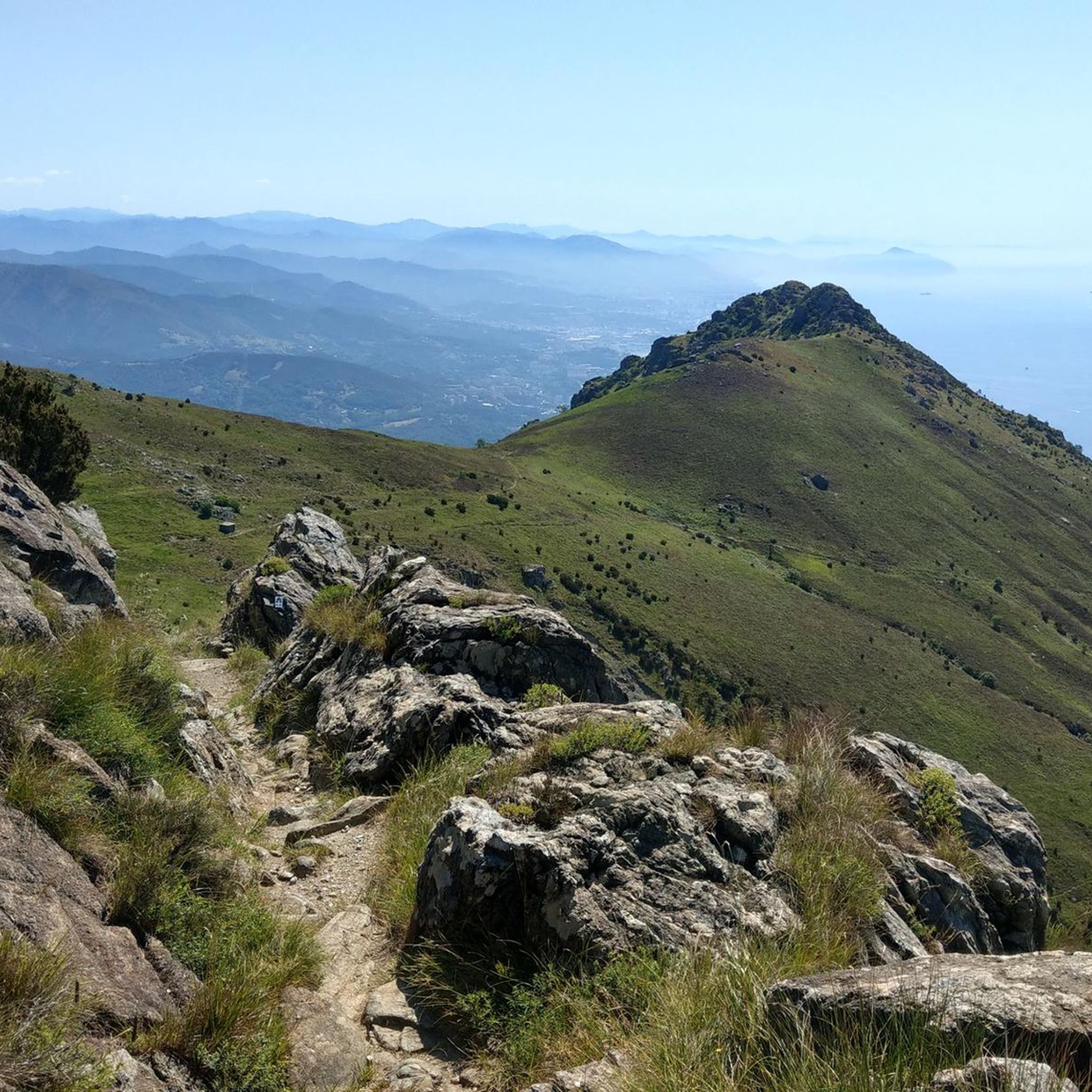
- The most popular natural monuments is Monte Reixa, a summit that offers panoramic views and is a junction point for three municipalities. Its rounded peak is covered with meadows and flowers, providing a hiking itinerary without particular difficulties.
- Another must-see spot is Negrone Bridge, a historical bridge crossing a deep rocky gorge. This ancient structure is built on two floors, with the lower level originally designed to convey water, similar to Roman aqueducts.
- Visitors also love Medieval Bridge and Monumental Oak Tree, Tiglieto, a site featuring a centuries-old oak tree next to a medieval bridge. This location is part of a suggestive itinerary between woods and the Orba stream, where gorges and waterfalls can be observed.
- Parco Naturale Regionale del Beigua is known for its summits, bridges, and unique geological formations. The region offers a variety of natural monuments to see and explore, including canyons, block fields, and diverse forest ecosystems.
- The natural monuments around Parco Naturale Regionale del Beigua are appreciated by the komoot community, with more than 160 upvotes and nearly 100 photos shared by visitors.
Last updated: July 10, 2026
Monte Reixa
Highlight • Summit
Due to the characteristics of the mountain, access to the summit of Mount Reixa is a hiking itinerary without particular difficulties.
The quickest access route is from the Faiallo pass, with a short walk. It is possible to insert the summit of Reixa in longer, circular itineraries, starting from different locations in the municipality of Genoa (for example Sambuco or Fabbriche) and also covering sections of the Alta Via.
I reached it from Passo della Gava with great satisfaction and a breathtaking view all along the way.
Translated by Google •
Tip by

Rocca Vaccaria
Highlight • Summit
We pass in front of the La Nuvola sul Mare hotel where a dirt road begins that descends for a stretch towards the south. We arrive near two obvious houses in the woods, the Palazzina Tassara dates back to 1935 and its history is still unknown. We continue left uphill among the beech trees where the path climbs up to meadows dotted with boulders.
We thus arrive at the Vaccaria Pass, its name derives from an ancient seasonal shelter for cattle. We are just under 5 km from the beaches of Arenzano and it is the point of the Apennine-Alpine chain closest to the sea.
Translated by Google •
Tip by

Sign up now to discover places like this
Get recommendations on the best single tracks, peaks, & plenty of other exciting outdoor places.
Sign up for free
Monte Beigua
Highlight • Summit
Translated by Google •
Tip by

Medieval Bridge and Monumental Oak Tree, Tiglieto
Highlight • Bridge
Translated by Google •
Tip by

Negrone Bridge
Highlight • Bridge
After crossing the Negrone Bridge, continue for a nice sliding and very scenic stretch to the junction of Case Freghee from which the path starts to climb.
Translated by Google •
Tip by
Sign up for free to discover even more natural monuments around Parco Naturale Regionale del Beigua.
Sign up for free
Already have an account?
Start today with a free account
Your next adventure awaits.
Login or Signup
Popular around Parco Naturale Regionale del Beigua
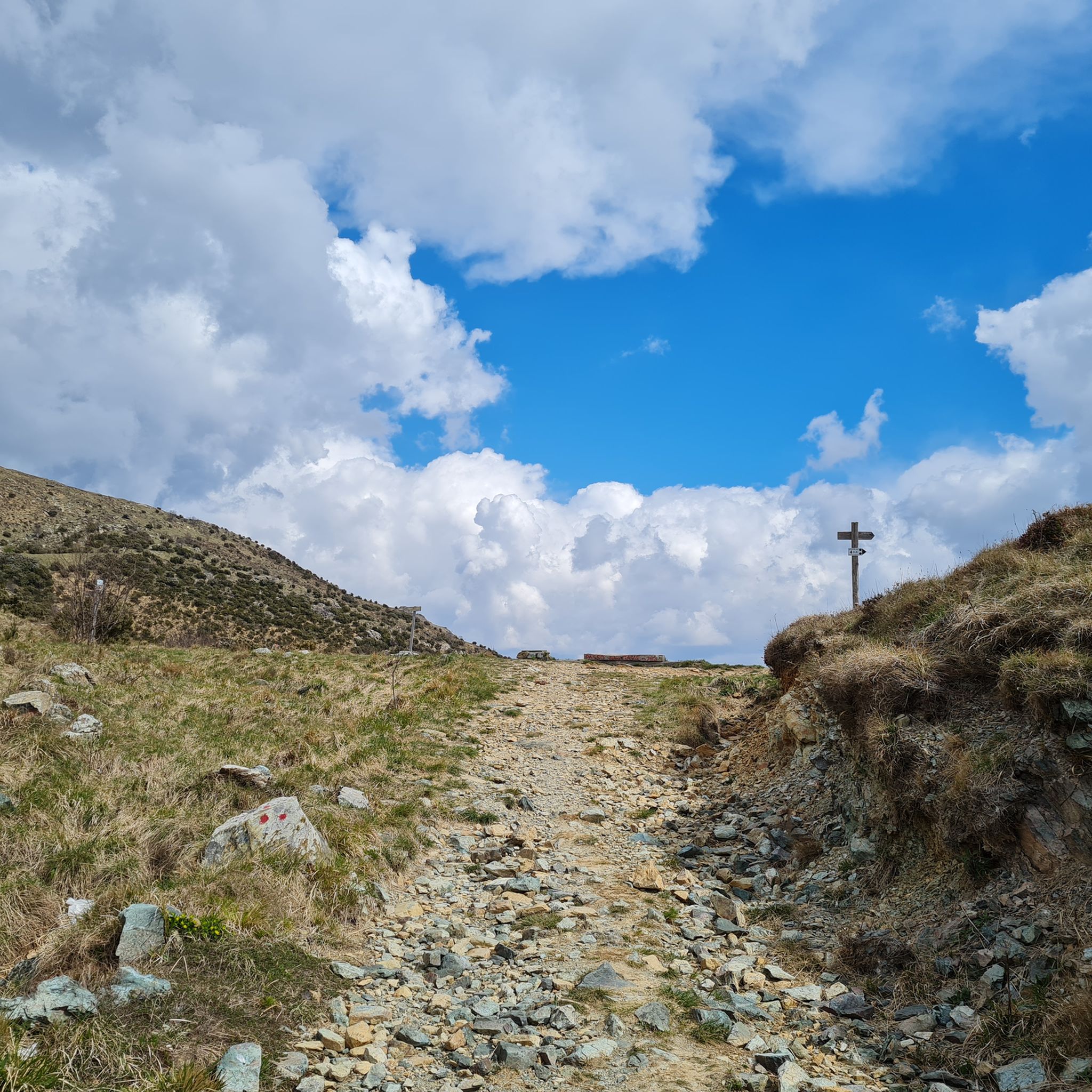
Hiking around Parco Naturale Regionale del Beigua
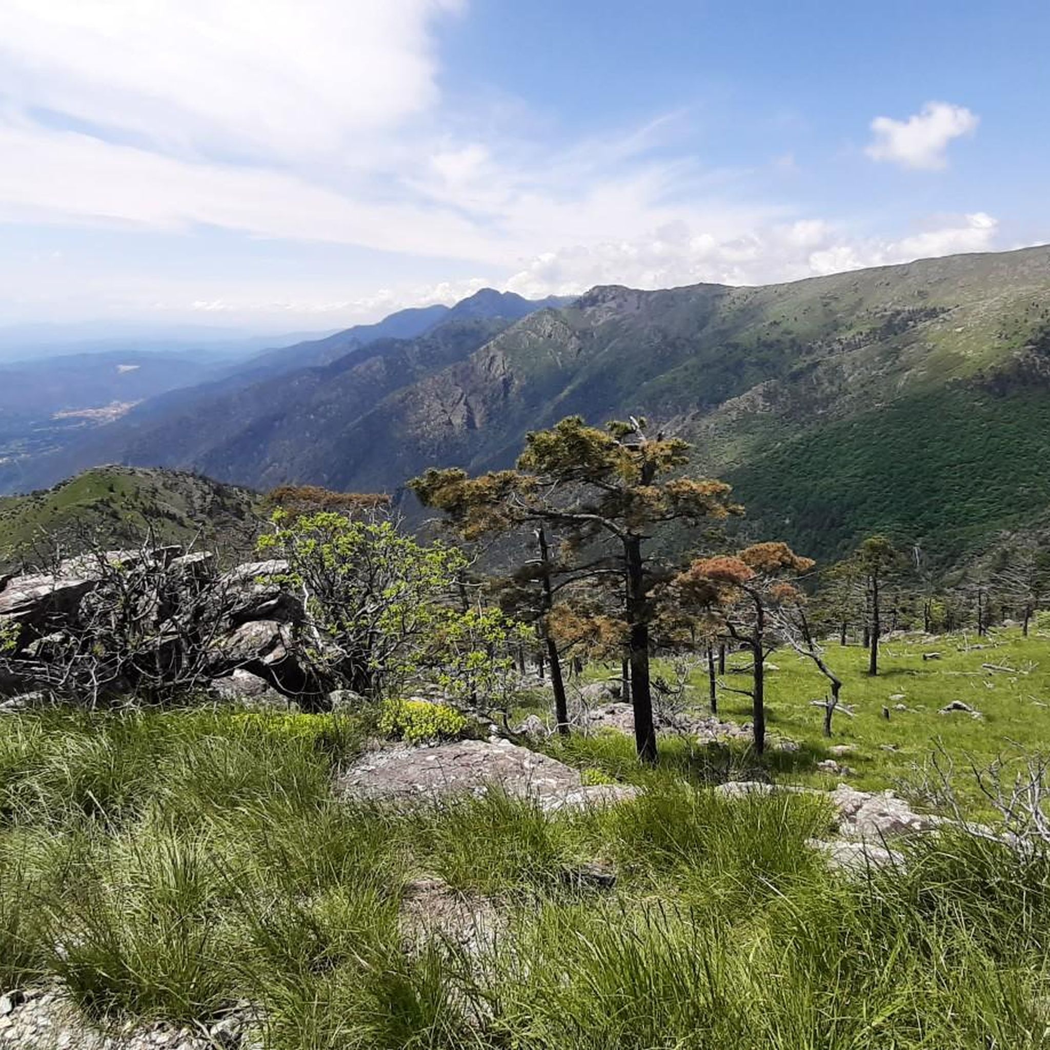
Running Trails around Parco Naturale Regionale del Beigua
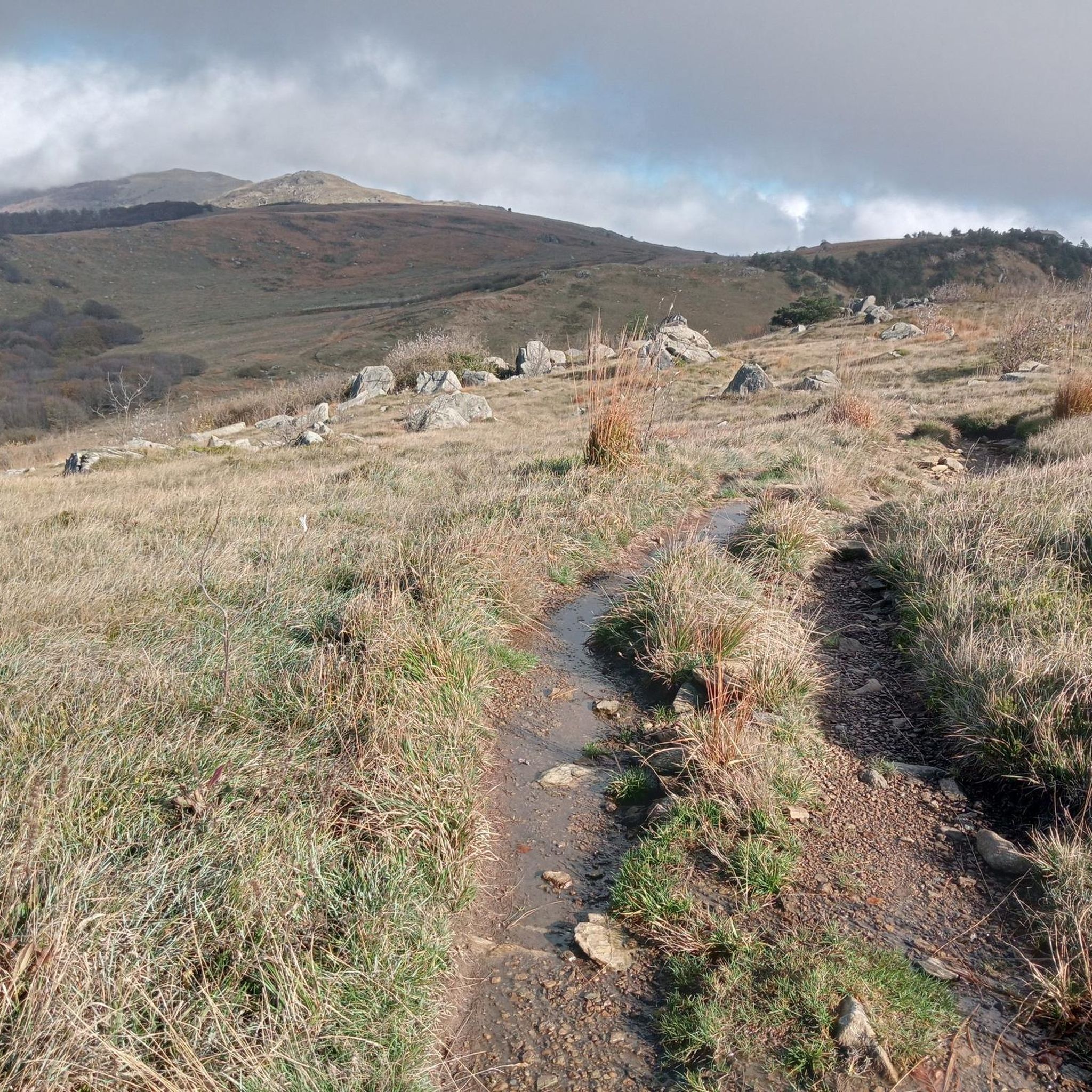
Cycling around Parco Naturale Regionale del Beigua
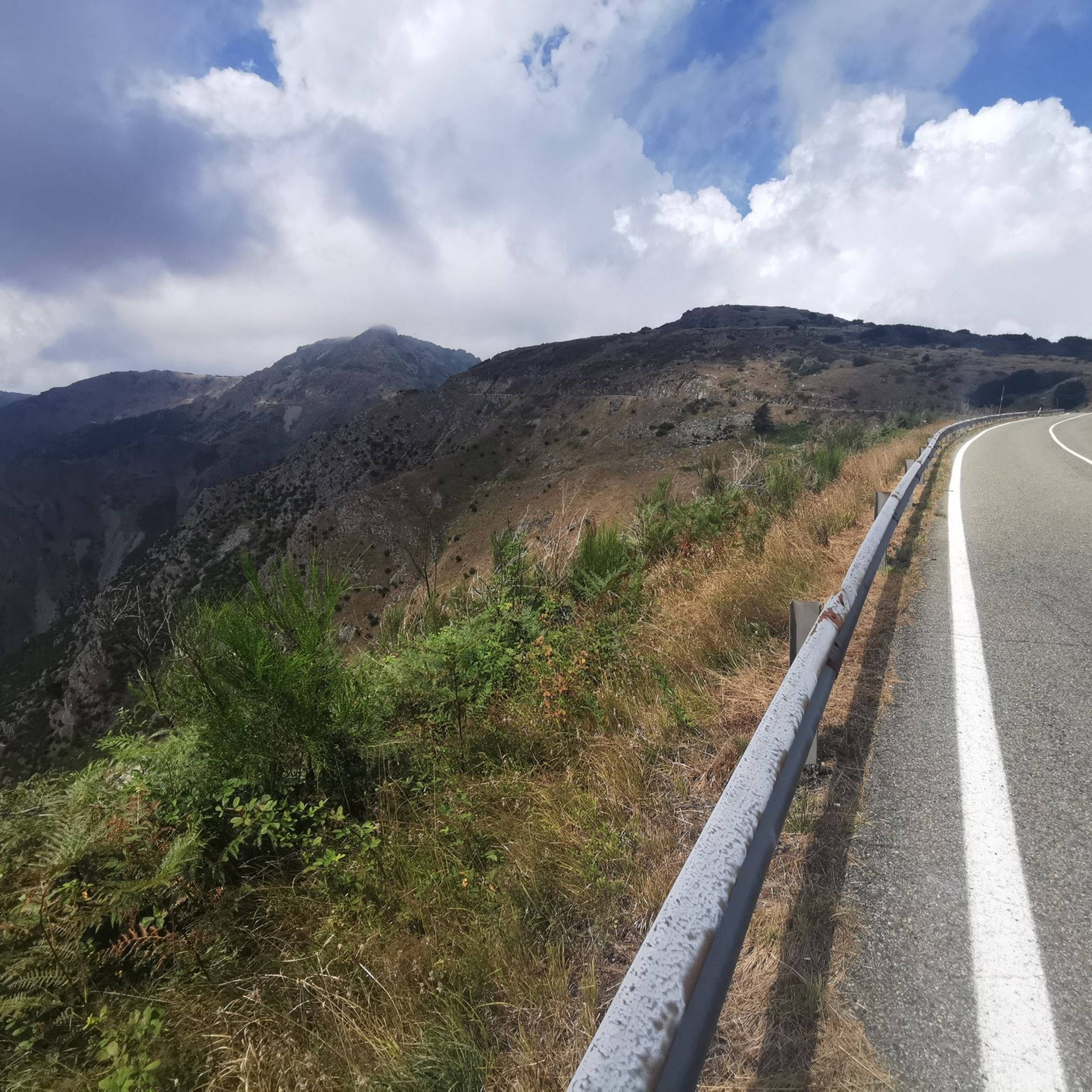
Road Cycling Routes around Parco Naturale Regionale del Beigua
MTB Trails around Parco Naturale Regionale del Beigua

Gravel biking around Parco Naturale Regionale del Beigua
Tips from the Community

Mount Beigua is a mountain range in the Ligurian Apennines, 1,287 meters above sea level, located on the Ligurian-Po watershed. It is the highest peak of the so-called "Beigua group," which includes nearby Mount Grosso, Mount Ermetta, and Bric Veciri.
11
0

The weather is not the best but the place is very beautiful
0
0
Despite the bad weather the place had a special charm
0
0


Popular legends linked to its origin and age gather around the Rovere di Tiglieto. In fact, it was said that it had been planted by Napoleon's troops during the Italian Campaign. Other sources report that a horseshoe bearing the symbol "N", the imperial monogram, was nailed to the trunk of the plant. It is said that a Dragoon of the French army, passing through the area and forced to change his horse's shoes, wanted to leave a sign of his passage. Some old people in the town say that as children they saw iron sticking out of the trunk. Today, on the surface of the trunk, there is no longer any trace of it, perhaps completely incorporated into the bark.
0
0
Mount Beigua (Munte Beigua or Mount Beigoa in Ligurian) is a mountainous relief in the Ligurian Apennines, 1287 m high above sea level, which rises on the Ligurian-Po Valley watershed. It is the highest peak of the so-called "Beigua group", which includes the nearby Monte Grosso (1265 m), Monte Ermetta (1267 m), Bric Veciri (1264 m), Monte Avzè (1022 m).
1
0

Fantastic view and satisfaction of getting there
1
0

Hi Emiliano but where do you get there?? From Rifugio Argentea to Cogoleto or Arenzano what is the best route for bikes?? The one marked black 4 that starts from the refuge is decidedly portage and not at all smooth. Can you let me know something Thanks!
0
0
Frequently Asked Questions
What unique geological formations can I explore in Parco Naturale Regionale del Beigua?
The park, a UNESCO Global Geopark, is rich in geological wonders. You can explore the Monte Beigua area, which offers insights into the formation of the Alps and Apennines. The Val Gargassa Canyon features unique rock formations carved by water over millennia, creating a distinct landscape with lakes. Additionally, the Block Field at Pratorotondo presents a fascinating 'Campo di Pietre' (field of stones) at 1,100 meters, offering stunning panoramic views.
Are there family-friendly natural monuments or trails suitable for children in the Beigua region?
Yes, several natural monuments are suitable for families. The 'Sentiero Natura' (Nature Trail) in the Val Gargassa Canyon is a relatively easy 5 km loop, perfect for exploring its unique hydrological features. The Medieval Bridge and Monumental Oak Tree, Tiglieto, offers a suggestive itinerary between woods and the Orba stream, where gorges and waterfalls can be admired, making it an engaging spot for families. Monte Beigua is also listed as family-friendly, though some ascents can be challenging.
What kind of views can I expect from the natural monuments in Parco Naturale Regionale del Beigua?
Many natural monuments in the park offer spectacular views. From the summit of Monte Beigua, you can enjoy panoramic vistas of the Ligurian Gulf, the Apennines, and even the Piedmontese Alps, with Corsica visible on clear days. Monte Reixa also provides breathtaking views that show how the ridge divides the Sassello area from the sea. The Block Field at Pratorotondo offers sensational views of the Ligurian Gulf and the Apennine stretch.
What historical or cultural sites are integrated with the natural monuments in this area?
The region blends natural beauty with historical elements. The Negrone Bridge is a very old structure built on two floors, with the lower level originally designed to convey water, similar to Roman aqueducts. It crosses a deep rocky gorge where the Rio Negrone and Rio Leone converge. The Medieval Bridge and Monumental Oak Tree, Tiglieto, features a centuries-old oak tree next to a medieval bridge, with popular legends linked to its origin and age, including tales of Napoleon's troops.
What outdoor activities can I do near the natural monuments in Parco Naturale Regionale del Beigua?
The park offers a wide range of outdoor activities. You can find numerous running trails, such as the 'Monte Rama from Beigua via the Pratorotondo refuge' or 'Lago della Tinetta loop from Arenzano'. For hiking, explore easy routes like the 'Gola del Rio Masone Trail – Val Gargassa Canyon loop from Rossiglione'. Mountain biking enthusiasts can tackle trails like 'From the Beigua cross to the Argentea refuge'. You can find more details and routes on the Running Trails, Easy Hikes, and MTB Trails guides for Parco Naturale Regionale del Beigua.
What is the best time of year to visit the natural monuments in Parco Naturale Regionale del Beigua?
The Parco Naturale Regionale del Beigua is beautiful year-round, but spring and early fall are particularly recommended. During these seasons, the weather is generally pleasant for hiking and exploring. The park is also a significant birdwatching spot, especially during spring and early fall, as it lies along a major migratory route. While winter access is possible, some higher altitude areas might be challenging due to snow.
Are there any specific natural monuments known for birdwatching?
The entire Parco Naturale Regionale del Beigua is a significant birdwatching spot, particularly during spring and early fall. Its location along a major migratory route means visitors can spot various birds of prey, including the short-toed eagle, eagle owl, peregrine, kestrel, honey buzzard, and even the golden eagle. Areas around Monte Beigua with its diverse vegetation are especially good for observing these species.
Where can I find coastal natural monuments in the Beigua region?
The coastal strip between Arenzano and Varazze features marine terraces, showcasing evidence of fluctuating sea levels and ancient earthquakes. Along the 'Lungomare Europa,' a promenade on a former railway site, you'll find small rocky coves and cliffs plunging steeply into the sea. The rocks change color from Varazze to Cogoleto, offering a unique interplay of the Apennines meeting the sea. This area is ideal for leisurely walks and observing geological history.
What are some of the prominent forests within the park that are considered natural monuments?
The park is home to several significant forests that contribute to its rich biodiversity. These include Lerone Forest, stretching from Arenzano to Cogoleto, characterized by meadows, cliffs, and serpentine rocks. Deiva Forest, located in Sassello, features spruce, Douglas fir, pines, and English oaks. Tiglieto Forest, which covers multiple municipalities, hosts an interesting variety of species. These forests are excellent for hiking and experiencing the park's diverse flora and fauna.
What do visitors enjoy most about the natural monuments around Parco Naturale Regionale del Beigua?
Visitors frequently praise the breathtaking panoramic views, especially from summits like Monte Reixa and Monte Beigua. The unique geological formations, such as the Val Gargassa Canyon and the Block Field at Pratorotondo, are also highly appreciated. The blend of diverse landscapes, from high mountains to coastal areas, and the opportunity to explore historical structures like the Negrone Bridge, make the region a compelling destination for nature enthusiasts and hikers alike.
Are there any natural monuments that are particularly good for Nordic walking?
Yes, the Block Field at Pratorotondo is a popular destination for Nordic walking. The trail leading to this 'Campo di Pietre' (field of stones) offers a unique geological experience combined with stunning landscapes and panoramic coastal views. It's an excellent choice for those who enjoy Nordic walking while appreciating geological curiosities.
How accessible are the natural monuments by public transport or car, and is parking available?
While specific details on public transport to every natural monument can vary, many trailheads and access points within the Parco Naturale Regionale del Beigua are reachable by car. For instance, the quickest access route to Monte Reixa is from the Faiallo pass, which typically has parking options. Similarly, to reach Rocca Vaccaria, you can leave your car at the Faiallo Pass. It's advisable to check local transport schedules and parking availability for specific starting points before your visit.
Most popular routes around Parco Naturale Regionale del Beigua
Most popular attractions around Parco Naturale Regionale del Beigua

Get inspired with the komoot mobile app


Explore more
Extend your search for the best caves by checking out these guides of the top ones around Parco Naturale Regionale del Beigua:
