Top 20 Natural Monuments in the Trans-Mexican Volcanic Belt
Natural monuments in the Trans-Mexican Volcanic Belt showcase a prominent geological feature stretching across central-southern Mexico. This active volcanic belt, also known as the Sierra Nevada, features some of Mexico's highest peaks, many of which are volcanoes. The region is characterized by diverse ecosystems and significant volcanic landscapes, including craters, stratovolcanoes, and unique geological formations. It offers a variety of natural features for exploration and appreciation of the forces that shaped the area.
Best natural monuments in the Trans-Mexican Volcanic…
Last updated: July 10, 2026
Nevado de Toluca Summit
Highlight • Summit
Tip by

Pico del Águila and Cruz del Marqués (Ajusco)
Highlight • Summit
Translated by Google •
Tip by

Sign up now to discover places like this
Get recommendations on the best single tracks, peaks, & plenty of other exciting outdoor places.
Sign up for free
Summit of Nevado de Colima
Highlight • Summit
Tip by
La Malinche Summit
Highlight • Summit
Tip by
Cruz del Marqués
Highlight • Summit
Tip by
La Virgen del Ajusco
Highlight • Religious Site
Translated by Google •
Tip by

Pico del Águila
Highlight • Summit
Translated by Google •
Tip by

Cofre de Perote Summit
Highlight • Summit
Tip by
Descent from Pico del Fraile to Lake of the Sun (Nevado de Toluca)
Highlight (Segment) • Trail
Tip by
Peña de Bernal
Highlight • Natural Monument
Translated by Google •
Tip by

Sign up for free to discover even more natural monuments in the Trans-Mexican Volcanic Belt.
Sign up for free
Already have an account?
Start today with a free account
Your next adventure awaits.
Login or Signup
Popular around Trans-Mexican Volcanic Belt

Triathlon 360 – my journey around the world
From the Arctic Ocean to the Panama Canal — North American Epic
Hiking in the Trans-Mexican Volcanic Belt
Running Trails in the Trans-Mexican Volcanic Belt
Cycling in the Trans-Mexican Volcanic Belt
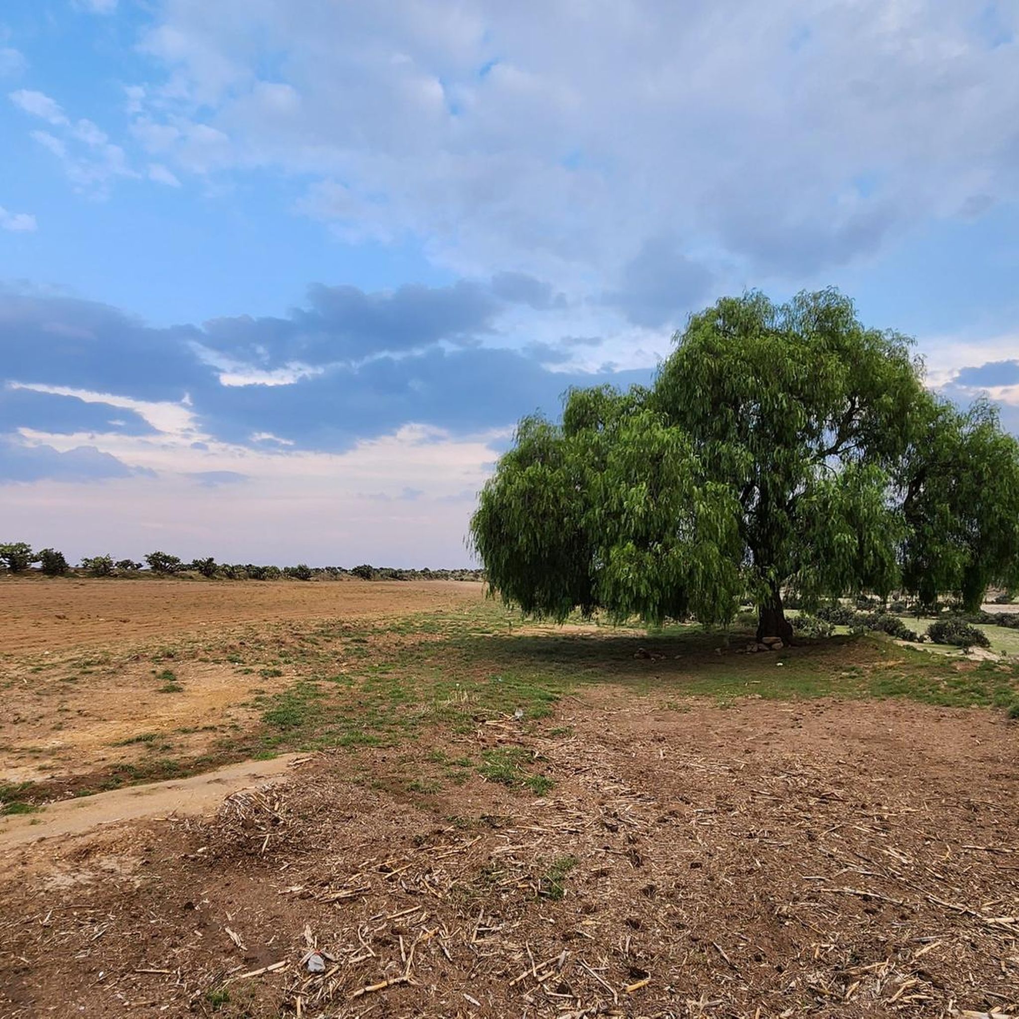
Road Cycling Routes in the Trans-Mexican Volcanic Belt
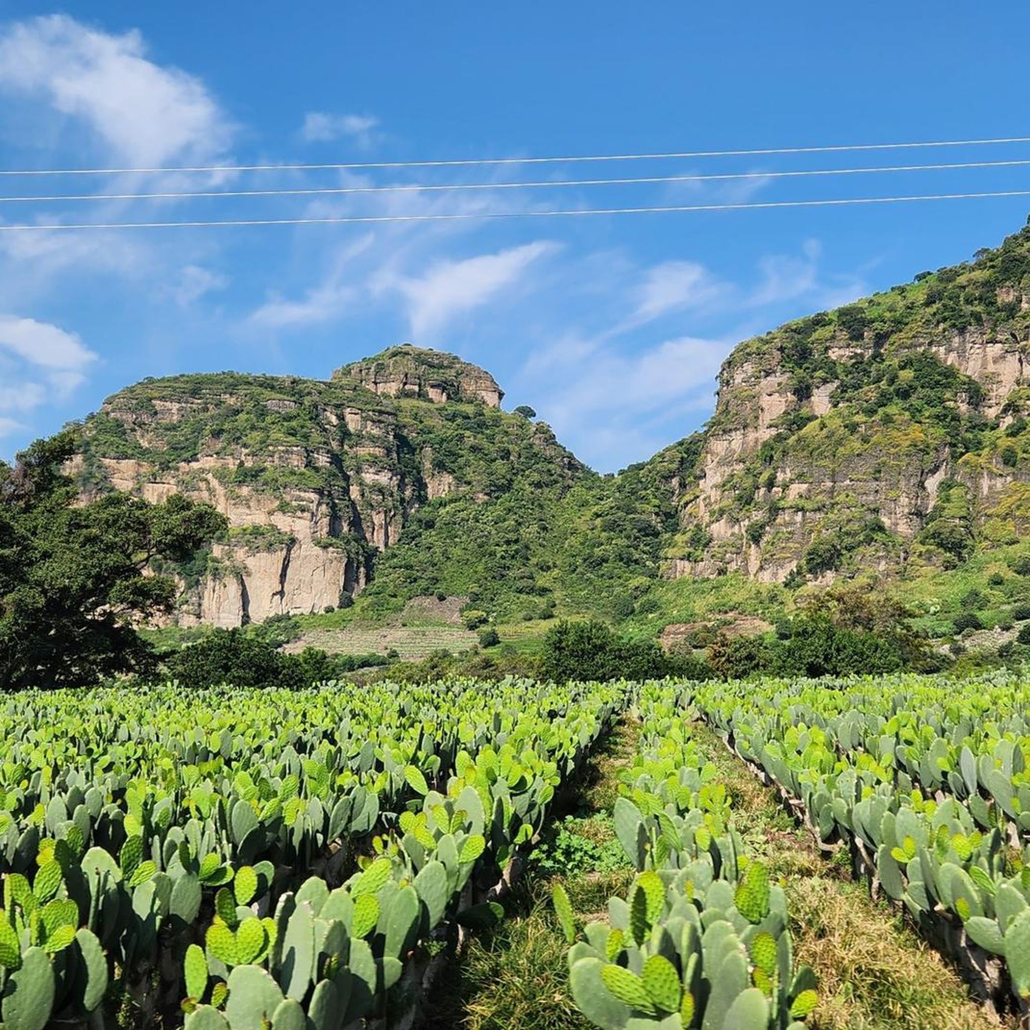
MTB Trails in the Trans-Mexican Volcanic Belt

Mountain Hikes in the Trans-Mexican Volcanic Belt

Gravel biking in the Trans-Mexican Volcanic Belt
Other adventures in the Trans-Mexican Volcanic Belt


Tips from the Community

Challenging, great views, easy to navigate.
0
0

This iconic spot, known as La Virgen del Ajusco, is located within the San Nicolás Totolapan Ejidal Park, in the area popularly known as Las Llantas. It is one of the most visited spots by mountain bikers, trail runners, and hikers in Mexico City. The site houses an image of the Virgin of Guadalupe carved into volcanic rock and surrounded by offerings, flowers, and banners. More than just an altar, it has become a meeting point and spiritual reference for those training or hiking in the Ajusco forests. Why visit? • It is a moderate but challenging access route: approximately 2.5 km uphill with a positive gradient of more than 600 meters, reaching 3,400 meters above sea level. • It is surrounded by a dense and cool forest, ideal for escaping the city heat. • From here, you can extend your route to longer routes, such as the Marlboro Valley, or even connect with Los Dinamos. • The park has signage, security, camping areas, and constant maintenance thanks to the recovery fee. What you'll see • The altar of the Virgin is moving for its simplicity and context: carved directly into stone, surrounded by silence and nature. • Abundant coniferous vegetation, red-earth trails, seasonal streams, and wildlife such as squirrels, birds, and butterflies. • Spectacular views of the forest and, on clear days, panoramic views that allow you to see part of the southern part of the city. Recommendations Bring enough water, some energy-boosting food, mountain clothing, and, if you're riding a bike, make sure your brakes are in top condition: the descent can be technical. Respect the environment, avoid leaving trash, and, if you reach the Virgin, treat yourself to a few minutes of silence. A short but intense route, both physically and symbolically. Ideal for training at altitude, reconnecting with the mountains, or simply breathing better.
1
0

A wonderful place to visit, it's currently easier to access by vehicle (to a certain extent) and with parking. However, if you're someone who enjoys climbing mountains over 4,000 meters from the bottom, I'm sure you'll love the challenge. Don't forget that these are mountains, and weather changes can happen at unexpected times, so it's best to be prepared for anything, bringing hydration and food necessary for the effort and the weather. In the craters, you'll find two bodies of fresh water that form the Laguna del Sol and Laguna de la Luna. In the 1990s, you could dive at altitude in the icy waters. Visibility is very low, so it was done with instruments and good orientation, a dry suit, or a wetsuit for icy waters. Currently, only research personnel can do so with a special permit, as it is an ecological and archaeological reserve. Admission is fee-based, and on weekends, it's very crowded, so be patient and always respect the place. Leave it better than you found it, and enjoy! You can also get there by gravel bike or mountain bike, but achieving this requires good training due to the incline and altitude. Always remember: Respect the Mountain.
2
0
The highest point in Mexico City! A beautiful panoramic view that you simply must experience. Remember to bring enough supplies, no matter which route you take, and don't leave any trash behind. Remember to respect the mountains, and you should be prepared for any eventuality, always alert and enjoying yourself, taking care, and breathing fresh air. Enjoy! ⛰️
0
0

A breathtaking view of Mexico City from the rest area at the Virgen/Jungfrau at 3190m altitude
1
0

Don't leave your trash up here.
0
0
Your trash goes back with you.
1
0

Frequently Asked Questions
What unique geological features define the natural monuments in the Trans-Mexican Volcanic Belt?
The Trans-Mexican Volcanic Belt is characterized by a diverse range of geological formations. You can explore unique volcanic craters, such as the seven maars found in the Siete Luminarias Volcanic Region in Guanajuato. The region also boasts majestic stratovolcanoes like Nevado de Toluca Summit, which uniquely features two picturesque crater lakes, Laguna del Sol and Laguna de la Luna. Other notable features include the world's youngest volcano, Paricutin, and the impressive monolith of Peña de Bernal.
Are there challenging hiking opportunities among the natural monuments in this region?
Yes, the Trans-Mexican Volcanic Belt offers numerous challenging hikes, especially to its volcanic summits. For instance, mountaineers often seek out Pico de Orizaba, Mexico's highest peak, which offers demanding routes and breathtaking views. Another challenging ascent is to La Malinche Summit, a prominent volcano with significant elevation gain. For those looking for a strenuous climb, the Summit of Nevado de Colima also presents a formidable challenge.
What are some family-friendly natural monuments or activities in the Trans-Mexican Volcanic Belt?
While many natural monuments involve challenging terrain, areas like the Cofre de Perote National Park offer more accessible experiences. Its lush pine and fir forests are suitable for family walks and nature observation. Additionally, some parts of the Nevado de Toluca National Park allow for easier access to the crater rim by road, making it possible to enjoy the stunning views of the crater lakes without extensive hiking. For easy walks, you can explore routes like the 'Lago Mayor Circuit' or 'Sendero ex convento de las Carmelitas Descalzas' which are part of the Easy hikes in the Trans-Mexican Volcanic Belt guide.
What is the best time of year to visit the natural monuments in the Trans-Mexican Volcanic Belt?
The best time to visit the Trans-Mexican Volcanic Belt generally depends on the specific activity. For mountaineering and high-altitude hikes, the dry season from November to April offers clearer skies and more stable weather conditions, though temperatures can still be very cold at higher elevations. During the rainy season (May to October), the landscapes are lush and green, but afternoon showers are common, and visibility can be reduced. Always check local weather forecasts before your visit, especially for higher peaks.
Are there any natural monuments with significant cultural or historical importance in the region?
Yes, several natural monuments hold deep cultural and historical significance. The Popocatépetl and Iztaccíhuatl volcanoes, for example, are central to indigenous mythology, representing a tragic love story. Nevado de Toluca's crater lakes also contain evidence of pre-Hispanic offerings, indicating their sacred status. Paricutin, while a relatively young volcano, is historically significant as the only volcano whose birth was witnessed and recorded by humans, leaving behind the haunting, partially buried ruins of the San Juan church.
What kind of outdoor activities can I do near the natural monuments?
The region offers a wide range of outdoor activities. Hiking is very popular, with options ranging from moderate trails like 'San Miguel Circuit via Ex-Convent of Desierto de los Leones' to challenging mountain ascents. You can find more details in the Hiking in the Trans-Mexican Volcanic Belt guide. Mountain biking is also popular, especially in areas like Cofre de Perote National Park. Horseback riding is available in some areas, such as Nevado de Toluca. For mountaineering, guides like Mountain Hikes in the Trans-Mexican Volcanic Belt provide routes for challenging peaks like La Malinche and Popocatépetl.
Are there any viewpoints offering spectacular panoramic views of the volcanic landscapes?
Absolutely. Many natural monuments double as incredible viewpoints. The summit of Pico de Orizaba offers unparalleled panoramic views from Mexico's highest point. Pico del Águila, part of the Ajusco mountain range, is another excellent spot for spectacular vistas. For a more accessible viewpoint, Mirador de la Virgen provides wonderful views and is a popular cycling classic spot.
What should I pack for a visit to the natural monuments, especially for hiking?
Given the varied terrain and elevations, it's crucial to pack appropriately. For hiking, always bring layers of clothing as weather can change rapidly, especially at higher altitudes. Essential items include sturdy hiking boots, water, snacks, sun protection (hat, sunscreen, sunglasses), and a waterproof jacket. For more challenging climbs, specialized mountaineering gear may be necessary. Even for day trips, it's wise to carry enough water and food, as amenities can be sparse near some remote natural monuments.
Are permits required to visit certain natural monuments or national parks in the Trans-Mexican Volcanic Belt?
While many areas are freely accessible, some national parks and protected areas within the Trans-Mexican Volcanic Belt may require entrance fees or permits, especially for specific activities like climbing or camping. For instance, areas within Pico de Orizaba National Park, Nevado de Toluca National Park, and Izta-Popo Zoquiapan National Park might have regulations. It's always recommended to check the official websites or local visitor centers for the specific monument you plan to visit to confirm any permit requirements or fees.
What is the difference between a natural monument and a national park in this region?
In Mexico, both natural monuments and national parks are protected areas, but they often differ in their primary focus and size. Natural monuments, like the Siete Luminarias Volcanic Region, are typically smaller areas designated to protect a specific, outstanding natural feature or a few features of exceptional aesthetic, scientific, or historical value. National parks, such as Pico de Orizaba National Park or Nevado de Toluca National Park, are generally larger areas established to protect broader ecosystems, biodiversity, and landscapes, often allowing for a wider range of recreational activities while ensuring conservation.
Can I find easy day hikes around the natural monuments?
Yes, there are options for easy day hikes. While many natural monuments are associated with challenging climbs, surrounding areas often feature less strenuous trails. For example, the Bosque de Tlalpan offers a pleasant forest trail that is great for a good workout without extreme difficulty. Additionally, the Easy hikes in the Trans-Mexican Volcanic Belt guide lists several routes like 'Malecón de Puerto Vallarta' and 'Circuito por El Ocotal' that are suitable for leisurely exploration.
What do visitors enjoy most about the natural monuments in the Trans-Mexican Volcanic Belt?
Visitors frequently highlight the spectacular views and the sense of achievement from reaching summits. For instance, the climb to Pico del Águila and Cruz del Marqués (Ajusco) is often praised for its incredible sunrises and panoramic vistas. The unique geological formations, such as the crater lakes of Nevado de Toluca and the striking monolith of Peña de Bernal, also leave a lasting impression. Many appreciate the opportunity to connect with nature and experience the raw power of volcanic landscapes.
Most popular routes in the Trans-Mexican Volcanic Belt
Most popular attractions in the Trans-Mexican Volcanic Belt

Get inspired with the komoot mobile app


Explore more
Extend your search for the best caves by checking out these guides of the top ones in the Trans-Mexican Volcanic Belt:
