The best walks and hikes in the Trans-Mexican Volcanic Belt
4.7
(1150)
9,128
hikers
330
hikes
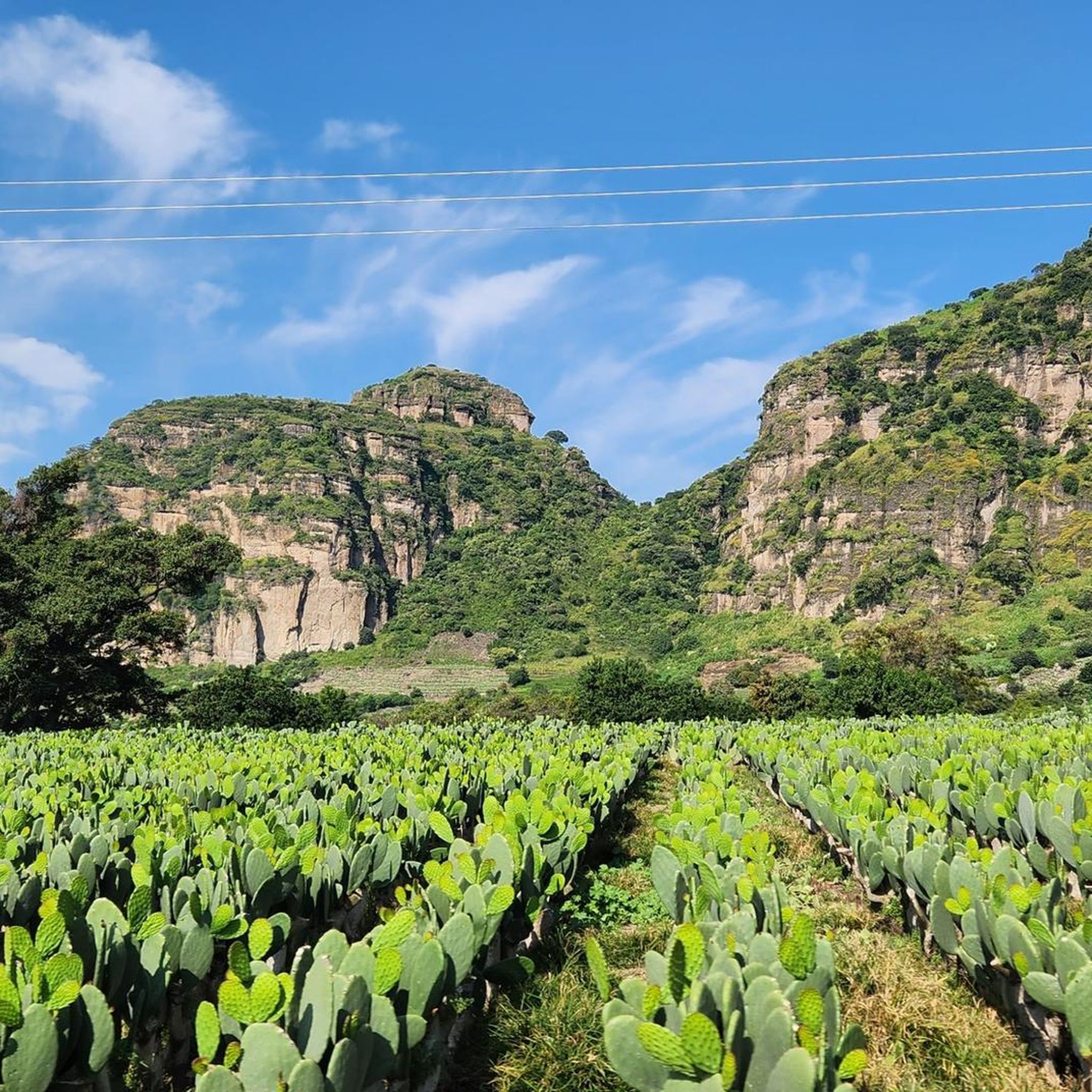
Hiking in the Trans-Mexican Volcanic Belt offers diverse landscapes shaped by volcanic activity, stretching across central-southern Mexico. The region is characterized by towering volcanic peaks, including Mexico's highest, Pico de Orizaba, and features like the crater lakes of Nevado de Toluca. Hikers can explore subtropical coniferous forests, which vary with altitude from Montezuma pines to sacred firs. This geological belt provides varied terrain for outdoor activities.
Best hiking trails in the Trans-Mexican Volcanic Belt
- The most popular hiking route is…
Last updated: July 7, 2026
4.5
(21)
139
hikers
11.0km
03:55
650m
650m
Hike the Circuito San Miguel via ex convento Desierto de los Leones, a moderate 6.8-mile route with significant elevation gain and forest vi
4.8
(16)
113
hikers
8.74km
03:00
490m
490m
Moderate hike. Good fitness required. Easily-accessible paths. Suitable for all skill levels.

Sign up for free
5.0
(3)
85
hikers
8.19km
02:17
150m
150m
Moderate hike. Good fitness required. Easily-accessible paths. Suitable for all skill levels.
5.0
(3)
85
hikers
8.19km
02:17
150m
150m
Hike the moderate 5.1-mile coastal trail from Boca de Tomatlán to Las Ánimas Beach, exploring jungles and secluded coves.
4.6
(19)
59
hikers
10.1km
02:56
260m
260m
Hike the moderate 6.3-mile De La Venta al Exconvento de los Leones trail in Desierto de los Leones National Park, featuring forests and a hi
5.0
(1)
55
hikers
14.5km
03:43
70m
70m
Moderate hike. Good fitness required. Easily-accessible paths. Suitable for all skill levels.
5.0
(9)
43
hikers
15.0km
05:07
780m
780m
Hike Cerro San Miguel in Desierto de los Leones National Park, a difficult 9.3-mile route with panoramic views and significant elevation gai
4.6
(8)
27
hikers
9.88km
03:24
540m
540m
Hike 6.1 miles (9.9 km) to the Piedra Viewpoint in Desierto de los Leones National Park for forest scenery and city views.
4.0
(1)
47
hikers
5.15km
01:21
50m
40m
This easy 3.2-mile (5.2 km) circular hike in Bosque de Chapultepec offers a blend of lush nature and cultural landmarks in Mexico City.
51
hikers
3.03km
00:46
10m
10m
Easy hike. Great for any fitness level. Easily-accessible paths. Suitable for all skill levels.
Get access to more routes and recommendations from other explorers.
Sign up for free
Already have an account?
Our route recommendations are based on thousands of hikes, rides, and runs completed by other people on komoot.
Start today with a free account
Your next adventure awaits.
Login or Signup
Popular around Trans-Mexican Volcanic Belt
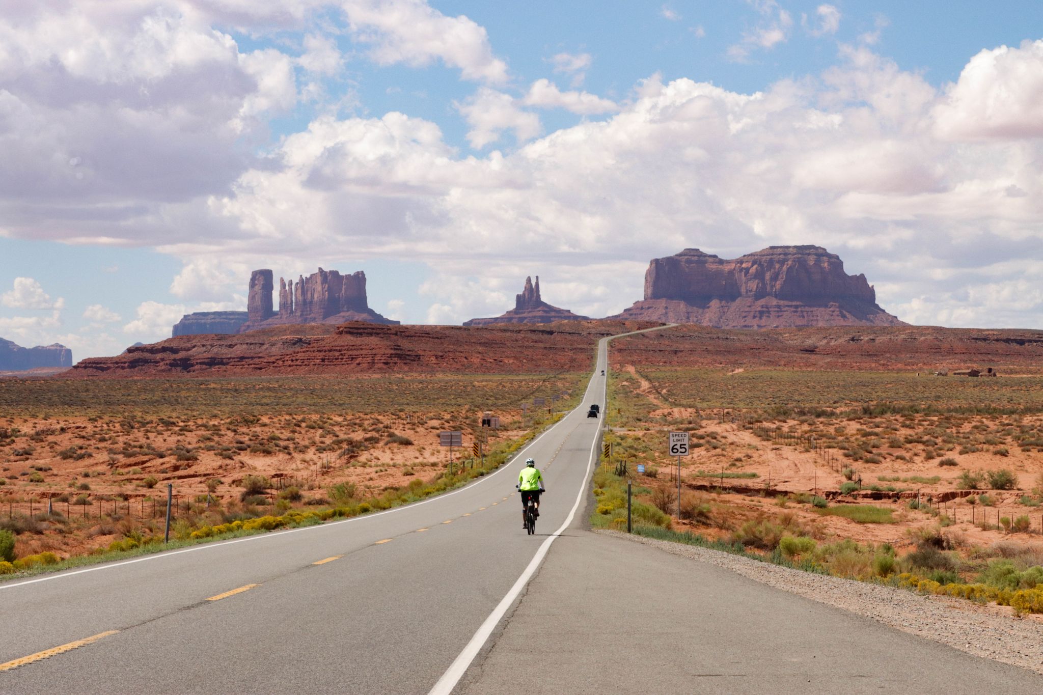
From the Arctic Ocean to the Panama Canal — North American Epic

Triathlon 360 – my journey around the world
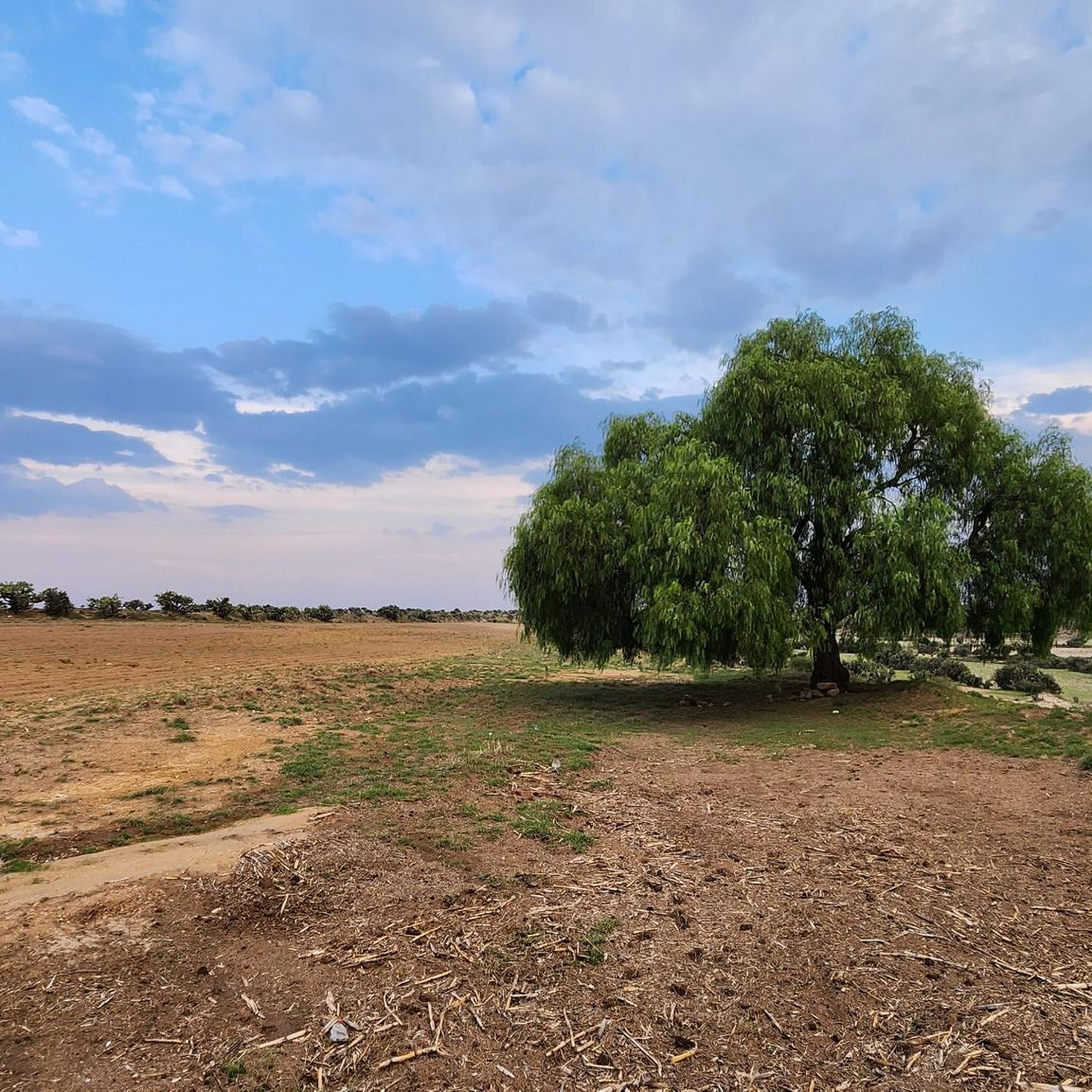
Running Trails in the Trans-Mexican Volcanic Belt
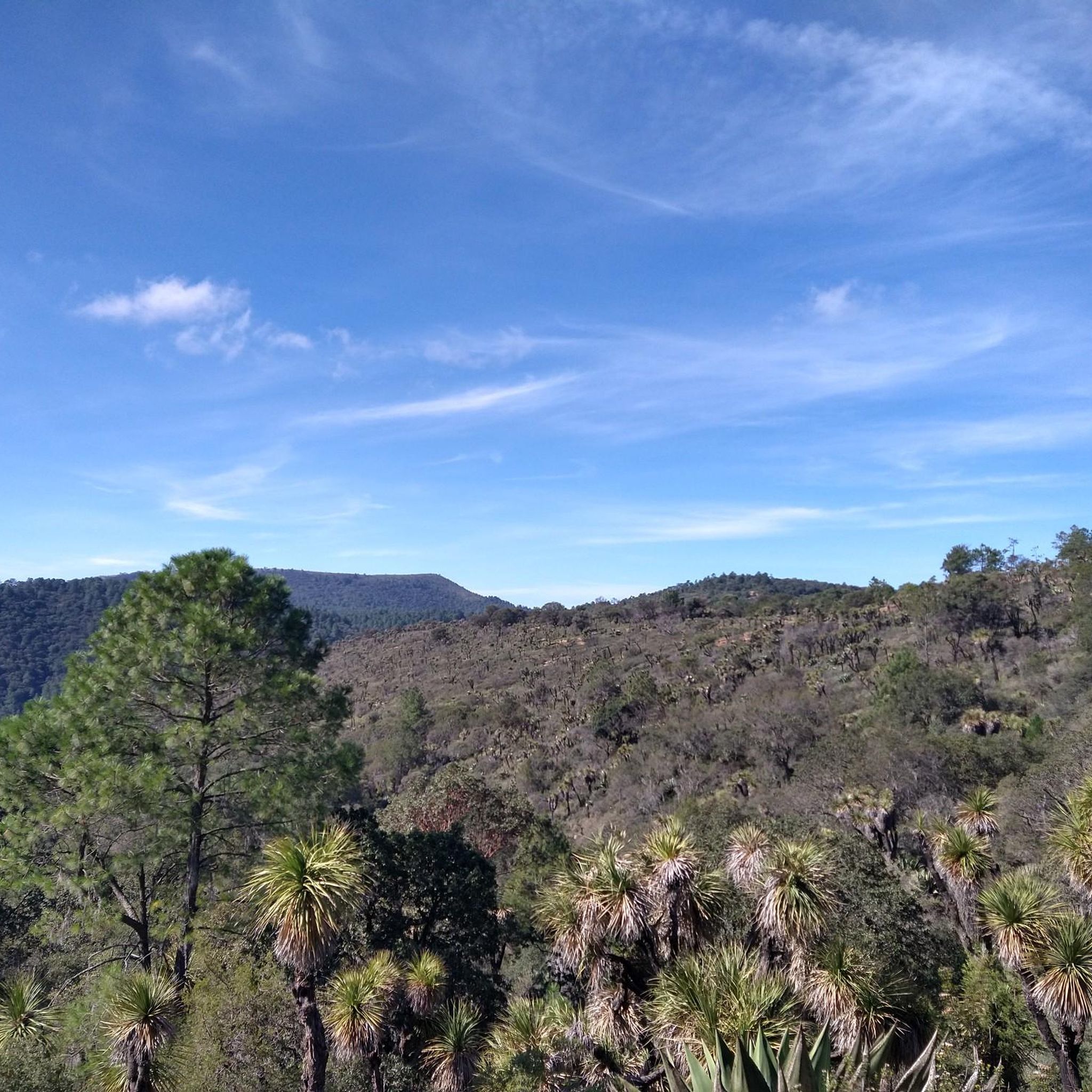
Cycling in the Trans-Mexican Volcanic Belt
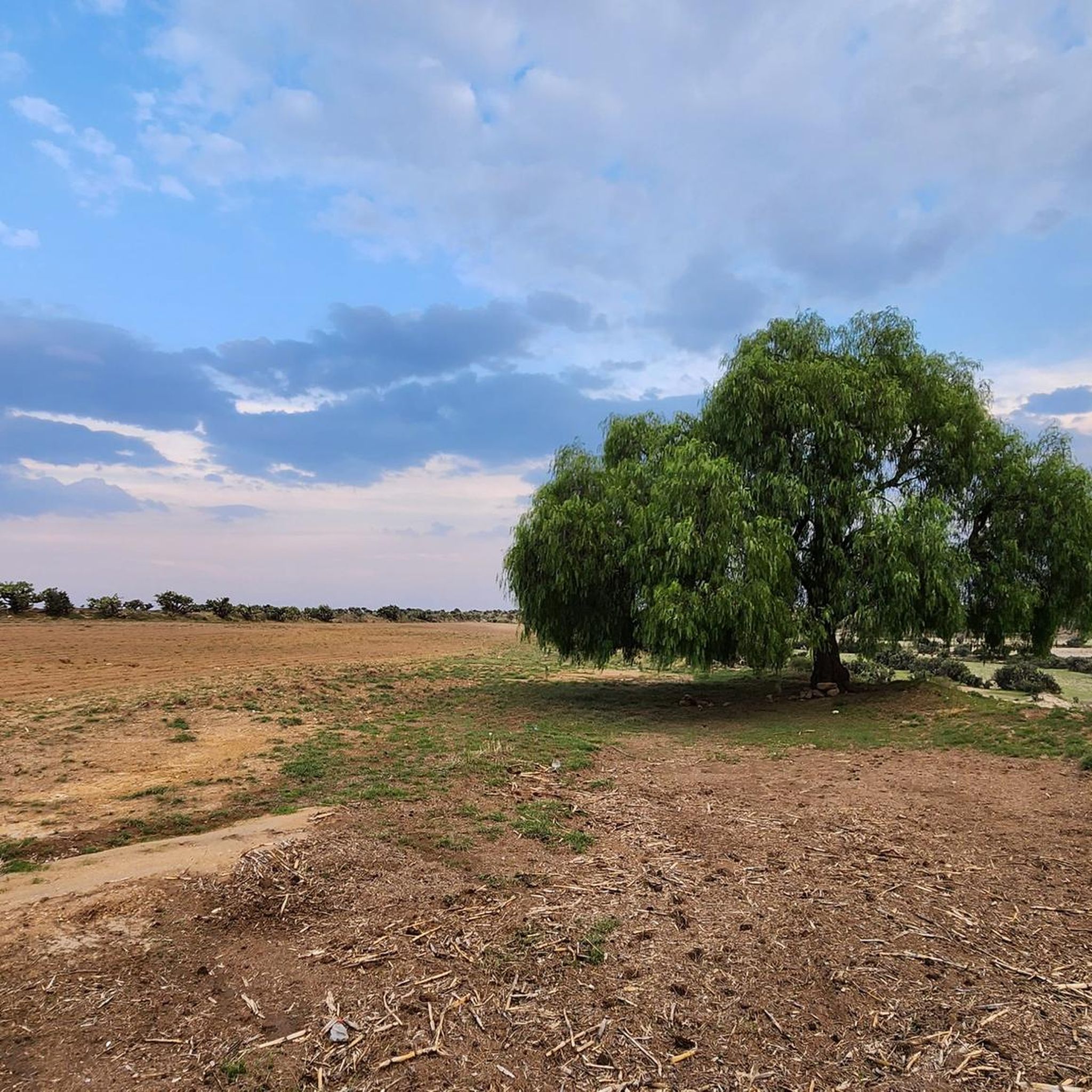
Road Cycling Routes in the Trans-Mexican Volcanic Belt
MTB Trails in the Trans-Mexican Volcanic Belt

Mountain Hikes in the Trans-Mexican Volcanic Belt

Gravel biking in the Trans-Mexican Volcanic Belt
Other adventures in the Trans-Mexican Volcanic Belt


Tips from the Community

Puerto Vallarta is a popular tourist destination on the Pacific coast of Jalisco, Mexico. Many outdoor activities are possible in the interior (jungle). Numerous cruises are also offered. The best time to travel is from November to April.
1
0

The National Museum of Anthropology blends seamlessly into Chapultepec Forest with its open courtyards and the monumental Tláloc fountain that flows outwards. Its architecture, designed by Ramírez Vázquez, engages in a dialogue with nature, evoking pre-Hispanic rituals. It is recognized worldwide as one of the finest anthropological museums for its iconic collection and innovative design.
0
0
At this point on the Malecón of Puerto Vallarta, a colorful and eye-catching sign has been placed where visitors can capture a snapshot to remember the occasion.
0
0

One of the most beautiful green spaces in Mexico City, it is particularly worth visiting, especially in springtime when everything is in bloom.
0
0

La Troza beach is a quiet, secluded cove south of Puerto Vallarta, surrounded by jungle and with clear waters ideal for swimming. It's usually accessed by water taxi or via more challenging coastal trails, so good shoes and water are recommended if you're hiking. It's a perfect spot to relax away from the busier atmosphere of the bay.
0
0
The trail to Colomitos Beach is a short, steep path through a dense forest, with roots and rocks that require careful footing. It connects Boca de Tomatlán with one of the area's most beautiful coves, making it a popular hike. Wear sturdy shoes with good traction, and bring water and sunscreen.
0
0
Las Ánimas Beach is a tranquil cove south of Puerto Vallarta, known for its white sand and calm waters perfect for swimming and snorkeling. It can be reached by water taxi or via a beautiful coastal path, so comfortable shoes and water are recommended if you choose the walk. It's a great place to relax and enjoy the laid-back atmosphere of this part of the bay.
0
0

This is another of the beautiful stretches through the woods that the paths in this interesting area offer. Sometimes you'll find structures made of branches.
0
0
Frequently Asked Questions
How many hiking trails are available in the Trans-Mexican Volcanic Belt?
The Trans-Mexican Volcanic Belt offers a wide array of hiking opportunities, with over 330 routes recorded on komoot. These trails cater to various skill levels, from easy walks to challenging high-altitude ascents.
What kind of landscapes can I expect to see while hiking in this region?
Hikers in the Trans-Mexican Volcanic Belt will encounter dramatic volcanic landscapes, towering peaks, and diverse forest ecosystems. The region is characterized by subtropical coniferous forests, which transition from Montezuma pines at lower elevations to pine-oak and sacred fir forests at higher altitudes. You'll also find unique features like picturesque crater lakes, such as those within Nevado de Toluca.
Are there any family-friendly hiking options in the Trans-Mexican Volcanic Belt?
Yes, the region offers numerous easier routes suitable for families. Approximately 130 of the trails are rated as easy, providing gentler terrain and shorter distances. For example, the Malecón de Puerto Vallarta offers a pleasant, accessible walk, and the Lago Mayor Circuit is another easy option.
What are some notable natural features or landmarks to look out for?
The Trans-Mexican Volcanic Belt is rich in natural wonders. You can explore impressive volcanic peaks like Nevado de Toluca Summit, known for its stunning crater lakes, or the La Malinche Summit. Other significant points include the Pico del Águila and Cruz del Marqués (Ajusco), offering panoramic views. The diverse forests themselves are a major attraction, providing a 'rain trap' that replenishes underground aquifers.
What is the best time of year to go hiking in the Trans-Mexican Volcanic Belt?
The Trans-Mexican Volcanic Belt generally offers good hiking conditions for much of the year. The dry season, typically from November to May, is often preferred for high-altitude treks due to clearer skies and less rain. However, the lushness of the forests during the rainy season (June to October) can also be very appealing, though afternoon showers are common.
What kind of wildlife might I encounter while hiking?
The region's varied microhabitats support a high degree of biodiversity. Keep an eye out for unique species such as the volcano rabbit (teporingo or zacatuche), which is the second smallest rabbit in the world, and the Mexican volcano mouse. Over 50% of Mexico's mammals can be found here, alongside endemic birds like the Transvolcanic jay and Sierra Madre sparrow.
Are there any circular routes recommended for hiking?
Yes, many hikers enjoy circular routes for their varied scenery. A popular option is the San Miguel Circuit via Ex-Convent of Desierto de los Leones, a moderate trail that takes nearly 4 hours to complete and features significant elevation gain through forested areas.
What is the general difficulty level of hikes in the Trans-Mexican Volcanic Belt?
The Trans-Mexican Volcanic Belt offers a range of difficulties. While there are over 130 easy routes, the majority of trails (around 170) are rated as moderate, providing a good balance of challenge and accessibility. For experienced hikers seeking a greater test, there are also about 40 difficult routes, often involving significant elevation changes and high-altitude conditions.
What do other hikers enjoy the most about hiking in the Trans-Mexican Volcanic Belt?
The area is highly rated by the komoot community, with an average score of 4.8 stars from over 1000 reviews. Reviewers often praise the diverse landscapes, from challenging volcanic ascents to serene forest paths, and the opportunity to explore unique natural features. The accessibility of many trails from major urban centers is also frequently highlighted.
Are there mountain huts or shelters available for longer treks?
For those planning multi-day hikes or high-altitude expeditions, there are mountain huts and shelters available. Examples include the Las Plumas Mountain Hut and the Piedra Grande Hut, Pico de Orizaba. These facilities can provide essential rest stops and shelter in more remote areas.
Are there any trails that offer coastal views or lead to beaches?
While the Trans-Mexican Volcanic Belt is primarily known for its inland volcanic and forest landscapes, some routes, particularly on its western edges, can offer different scenery. For example, the Boca de Tomatlán to Las Ánimas Beach Trail leads through coastal and jungle landscapes to a beach, providing a unique contrast to the typical volcanic terrain.
What kind of forests will I hike through?
You will primarily hike through the Trans-Mexican Volcanic Belt pine-oak forests ecoregion. These are subtropical coniferous forests that change with altitude. At lower elevations (2,275–2,600 m), you'll find dominant Montezuma pines. Mid-elevations (2,470–2,600m) feature pine-oak forests with white oak species and Mexican Juniper, while higher altitudes (above 2,700m) are characterized by pine-cedar forests with Hartweg's pine and sacred fir.
Most popular routes in the Trans-Mexican Volcanic Belt
Most popular attractions in the Trans-Mexican Volcanic Belt

Get inspired with the komoot mobile app


Explore more
Browse the best Hikes in other regions.
