The best road cycling routes in the Trans-Mexican Volcanic Belt
4.8
(528)
6,950
riders
280
rides
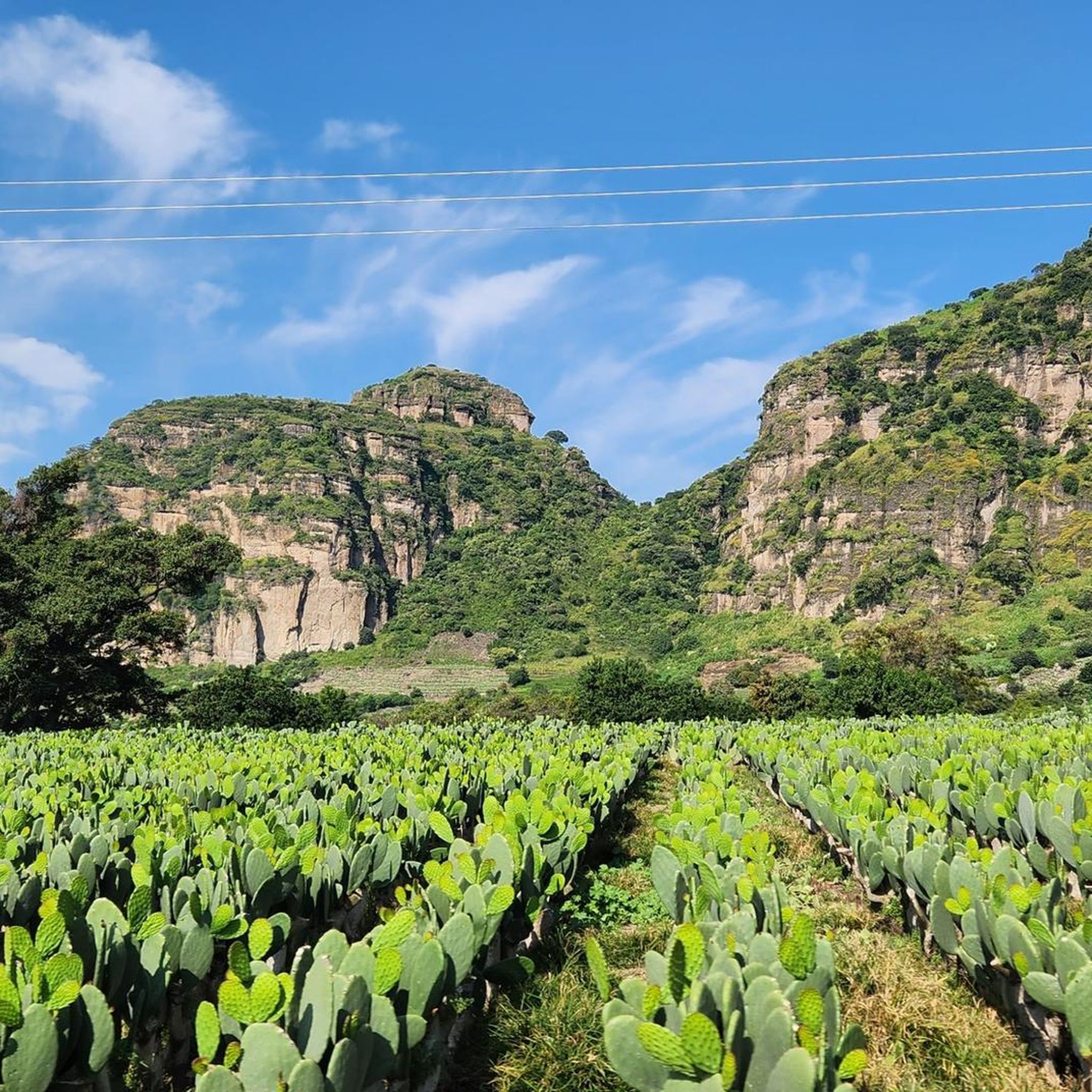
Road cycling in the Trans-Mexican Volcanic Belt offers diverse landscapes and challenging terrain across central-southern Mexico. This region is characterized by numerous volcanic peaks, providing significant elevation changes and high-altitude climbs. Cyclists encounter varied ecosystems, including extensive pine-oak forests and semi-desert zones, ensuring constantly changing scenery. The topography naturally creates a multitude of road cycling routes suitable for different fitness levels.
Best road cycling routes in the Trans-Mexican Volcanic Belt
- The most popular road cycling route is Tree-Lined Road in…
Last updated: July 5, 2026
5.0
(18)
429
riders
91.5km
04:31
1,370m
1,370m
Hard road ride. Very good fitness required. Mostly well-paved surfaces and easy to ride.
4.4
(5)
380
riders
48.9km
02:42
890m
890m
Moderate road ride. Good fitness required. Mostly well-paved surfaces and easy to ride.

Sign up for free
5.0
(3)
260
riders
72.1km
04:02
1,520m
1,520m
Hard road ride. Very good fitness required. Mostly well-paved surfaces and easy to ride.
4.4
(11)
257
riders
74.1km
04:04
1,270m
1,270m
Hard road ride. Very good fitness required. Mostly well-paved surfaces and easy to ride.
4.7
(12)
227
riders
Hard road ride. Very good fitness required. Mostly well-paved surfaces and easy to ride.
5.0
(2)
222
riders
66.9km
03:23
830m
830m
Moderate road ride. Good fitness required. Mostly well-paved surfaces and easy to ride.
5.0
(1)
113
riders
Easy road ride. Great for any fitness level. Mostly well-paved surfaces and easy to ride.
177
riders
61.4km
03:28
1,360m
1,360m
Hard road ride. Very good fitness required. Mostly well-paved surfaces and easy to ride.
4.2
(11)
167
riders
Moderate road ride. Good fitness required. Mostly well-paved surfaces and easy to ride.
3.0
(1)
174
riders
93.8km
05:03
1,790m
1,790m
Hard road ride. Very good fitness required. Mostly well-paved surfaces and easy to ride.
Get access to more routes and recommendations from other explorers.
Sign up for free
Already have an account?
Our route recommendations are based on thousands of hikes, rides, and runs completed by other people on komoot.
Start today with a free account
Your next adventure awaits.
Login or Signup
Popular around Trans-Mexican Volcanic Belt
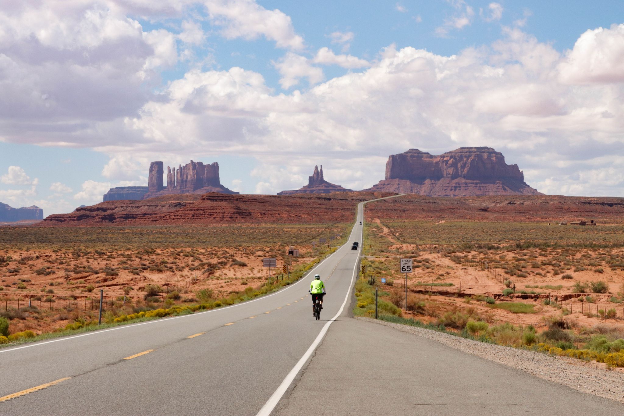
From the Arctic Ocean to the Panama Canal — North American Epic

Triathlon 360 – my journey around the world
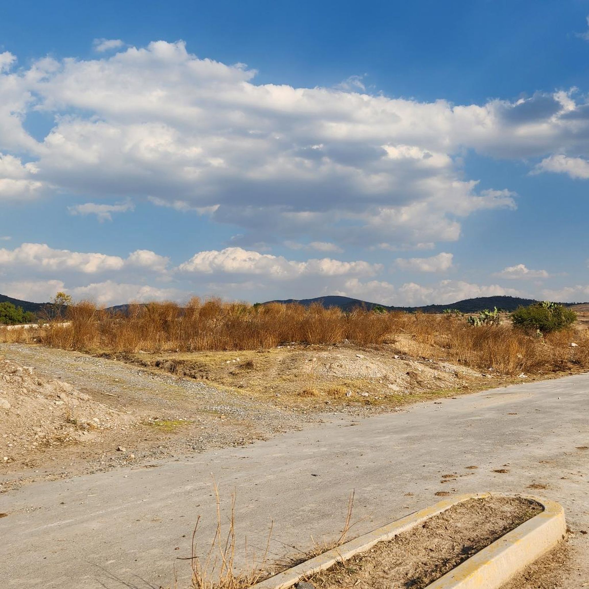
Hiking in the Trans-Mexican Volcanic Belt
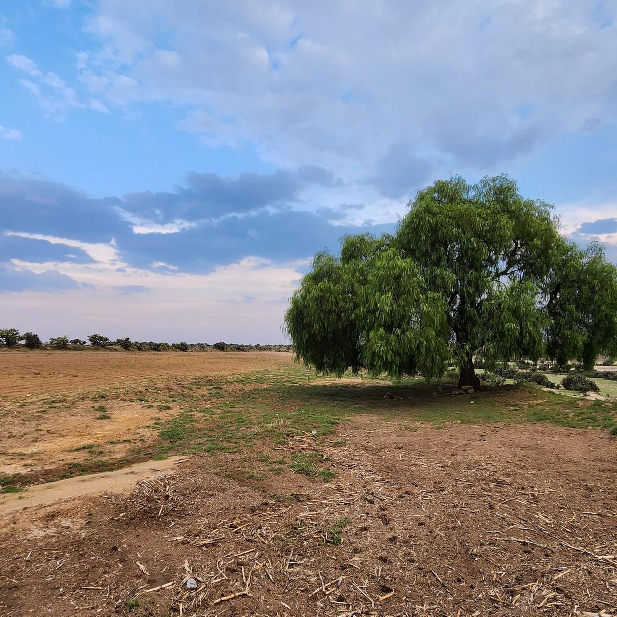
Running Trails in the Trans-Mexican Volcanic Belt
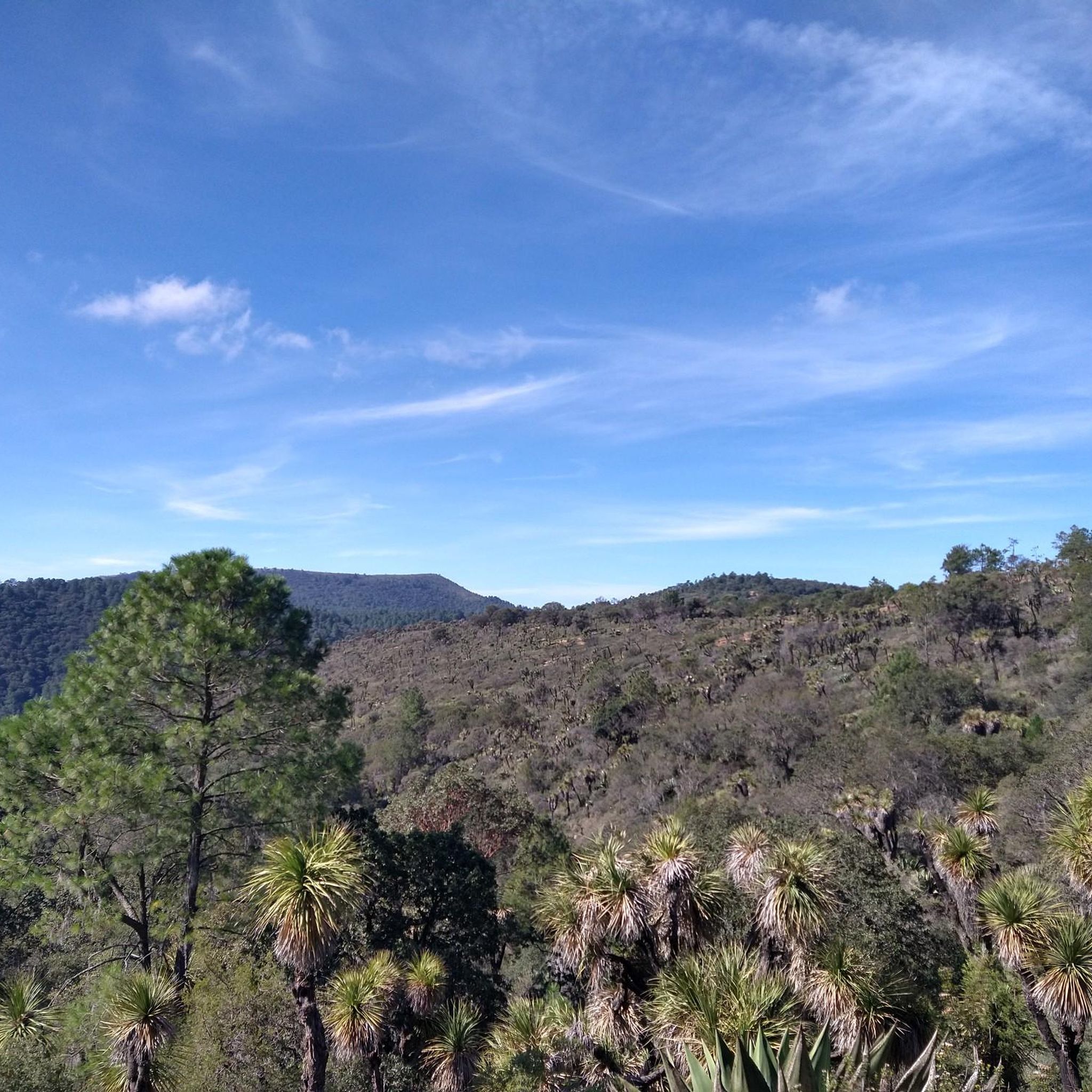
Cycling in the Trans-Mexican Volcanic Belt
MTB Trails in the Trans-Mexican Volcanic Belt

Mountain Hikes in the Trans-Mexican Volcanic Belt

Gravel biking in the Trans-Mexican Volcanic Belt
Other adventures in the Trans-Mexican Volcanic Belt


Tips from the Community

This is a spectacular bronze statue representing the Roman goddess of the hunt. It was unveiled in 1942.
0
0

Beside the road stands a small image of Our Lady of Guadalupe, watched over with devotion by passersby. Many people stop for a few minutes to leave flowers, candles, or other offerings, giving thanks for favors received or asking for protection on their journey. It's a simple spot, but full of faith and meaning.
0
0
This interesting convent, built in the 17th century by Carmelite monks, later converted into a military barracks and which holds many "paranormal" stories, is now open to visitors and serves as a base for numerous walks in the area.
0
0

The route is shared with cyclists in some sections.
0
0

It's a pleasant route and suitable for all cyclists...
0
0

Excellent vibe, very good rides and the food is quite delicious. Don't forget to try the sweet and savory toust.
0
0

The Holtz House, also known as the residence of engineer Ignacio Holtz, is an Art Nouveau house located in Lomas de Chapultepec, Mexico City. Considered the largest Art Nouveau building in the world, it measures 2,300 square meters and is spread over four floors.
0
0

Just before the Xalatlaco highway crossing, before the Cantimplora Valley, is the abandoned cabin where food was prepared many years ago. Now it's roofless, and only the remains of the fireplace, tables, and walls with their windows remain. Once, it served as a shelter in bad weather when everything was closed, but now, without a roof, all that remains is a memory of what once was.
2
0
Frequently Asked Questions
How many road cycling routes are available in the Trans-Mexican Volcanic Belt?
The Trans-Mexican Volcanic Belt offers a wide array of road cycling routes, with nearly 300 tours available on komoot. These routes cater to various fitness levels, including 69 easy, 130 moderate, and 97 difficult options, ensuring there's a ride for every cyclist.
What kind of terrain can I expect when road cycling in the Trans-Mexican Volcanic Belt?
Road cycling in the Trans-Mexican Volcanic Belt features incredibly diverse and challenging terrain. You'll encounter significant elevation changes due to numerous volcanic peaks, including high-altitude climbs. The landscape transitions from extensive pine-oak forests, offering shaded routes, to semi-desert zones, valleys, and basins, providing constantly changing scenery. Expect routes with substantial climbs and descents, often exceeding 3,000 feet in elevation gain.
Are there any beginner-friendly road cycling routes in the Trans-Mexican Volcanic Belt?
Yes, while the region is known for its challenging climbs, there are 69 easy road cycling routes available. These routes are designed to be more accessible, allowing beginners to enjoy the unique landscapes without overly demanding climbs. You can find options that offer a gentler introduction to the region's beauty.
What are some challenging road cycling routes for experienced riders?
For experienced riders seeking a challenge, the Trans-Mexican Volcanic Belt offers 97 difficult routes. One such demanding route is the Tree-Lined Road in Mexico – View of Pico del Águila loop from Nativitas, a 56.8-mile (91.4 km) ride with over 1,300 meters of elevation gain. Another challenging option is the Ventanas to Santa Fe – Ahuehuetes Sur loop from Estación Vasco de Quiroga, covering 72.2 km with over 1,500 meters of ascent.
What do other road cyclists say about the routes in the Trans-Mexican Volcanic Belt?
The road cycling routes in the Trans-Mexican Volcanic Belt are highly regarded by the komoot community, holding an impressive average rating of 4.7 stars from over 580 reviews. Cyclists often praise the stunning panoramic views from high-altitude sections, the diverse ecosystems encountered, and the rewarding challenge of the climbs.
Are there any circular road cycling routes in the Trans-Mexican Volcanic Belt?
Many of the road cycling routes in the Trans-Mexican Volcanic Belt are designed as loops, offering a complete circular experience. For example, the Ahuehuetes Sur – Petroleum Fountain loop from San Lorenzo Acopilco is a moderate 30.5-mile (49.0 km) path that takes you through varied terrain. Another popular loop is the Desierto de los Leones Viewpoint – Mobile food stand loop from Estación Santa Fe, which is 22.7 miles (36.5 km) long and passes through scenic viewpoints.
What natural features or landmarks can I see along the road cycling routes?
The Trans-Mexican Volcanic Belt is rich in natural beauty. You can cycle past significant volcanic peaks like Pico de Orizaba and Iztaccíhuatl, offering breathtaking vistas. The region is also home to diverse ecosystems, including extensive pine-oak forests. For those interested in natural attractions, there are several waterfalls nearby, such as the Frozen Waterfall and Tulimán Waterfall, which can be explored as part of your cycling adventure.
Are there any routes that pass by historical or cultural sites?
While many routes focus on natural landscapes, the broader Trans-Mexican Volcanic Belt region has a rich history. For instance, Nevado de Toluca National Park, a prominent volcanic area, contains eighteen archaeological sites. Some routes, like the Cuarto Dínamo Ruins – 4th Dinamo Viewpoint loop from San Pedro de los Pinos, may lead you near historical areas or offer glimpses into the region's past.
What is the best time of year for road cycling in the Trans-Mexican Volcanic Belt?
The Trans-Mexican Volcanic Belt offers varied conditions due to its high altitudes. Generally, the dry season (roughly November to May) provides more stable weather and clearer skies, which is ideal for road cycling, especially for routes involving higher elevations. During the wet season (June to October), afternoon showers are common, which can affect road conditions and visibility, particularly in mountainous areas.
Are there any routes suitable for families with children?
While many routes in the Trans-Mexican Volcanic Belt involve significant elevation, the 69 easy routes are generally more suitable for families or those looking for a less strenuous ride. These routes often feature gentler gradients and can be a good starting point for family cycling outings. Always check the specific route details on komoot for distance, elevation, and terrain to ensure it matches your family's ability.
Can I find routes that offer scenic viewpoints?
Absolutely. The volcanic topography of the Trans-Mexican Volcanic Belt naturally creates numerous opportunities for stunning scenic viewpoints. Routes like the Diana the Huntress Fountain – View of Pico del Águila loop from San Cosme offer panoramic views of prominent peaks. Many routes also traverse areas with breathtaking vistas over pine-oak forests and valleys, providing rewarding sights after climbs.
Are there any road cycling routes accessible from major urban centers like Mexico City?
Yes, many prominent volcanic peaks and natural attractions within the Trans-Mexican Volcanic Belt are relatively accessible from major urban centers, including Mexico City. This makes them convenient for day trips or longer cycling tours. Routes often start or pass near areas that are reachable by car or public transport from the city, allowing for easier access to the region's cycling opportunities.
Most popular routes in the Trans-Mexican Volcanic Belt
Most popular attractions in the Trans-Mexican Volcanic Belt

Get inspired with the komoot mobile app


Explore more
Browse the best Road cycling routes in other regions.
