The best gravel rides around Embalse de Aguilar
5.0
(2)
38
riders
7
rides
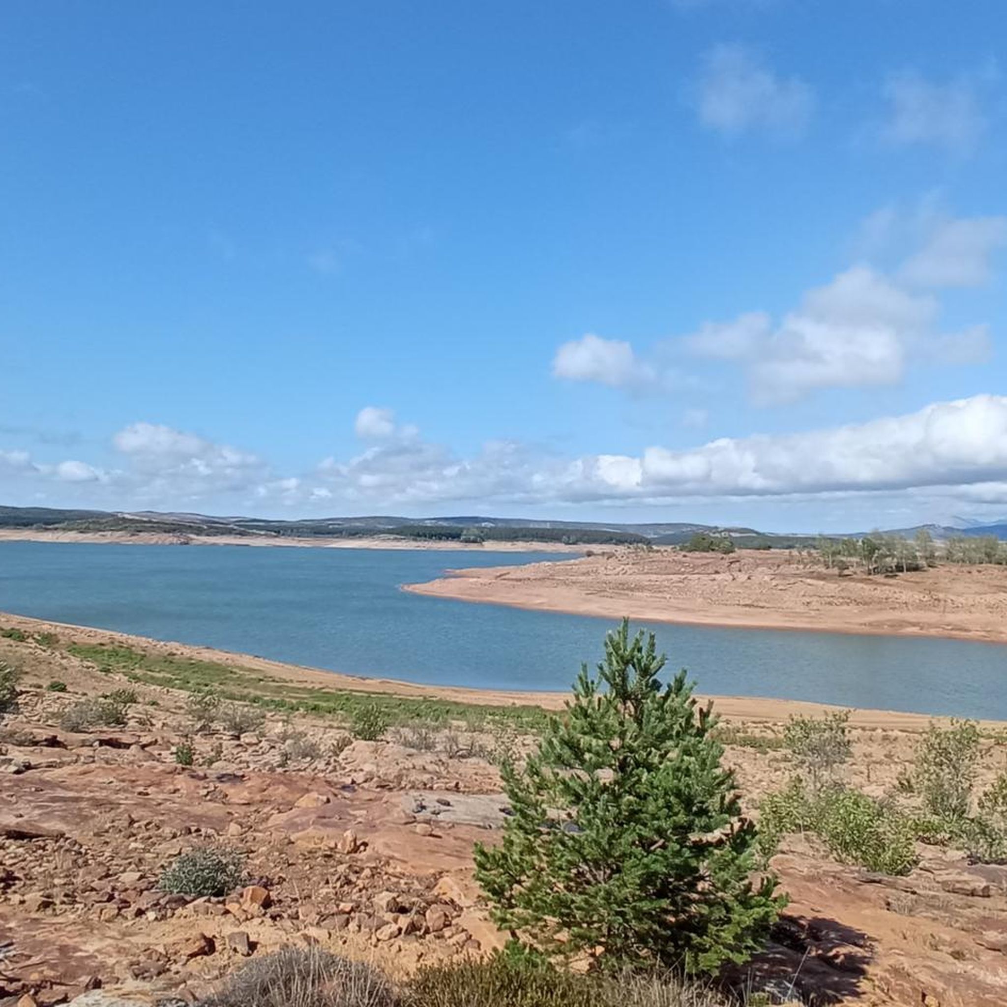
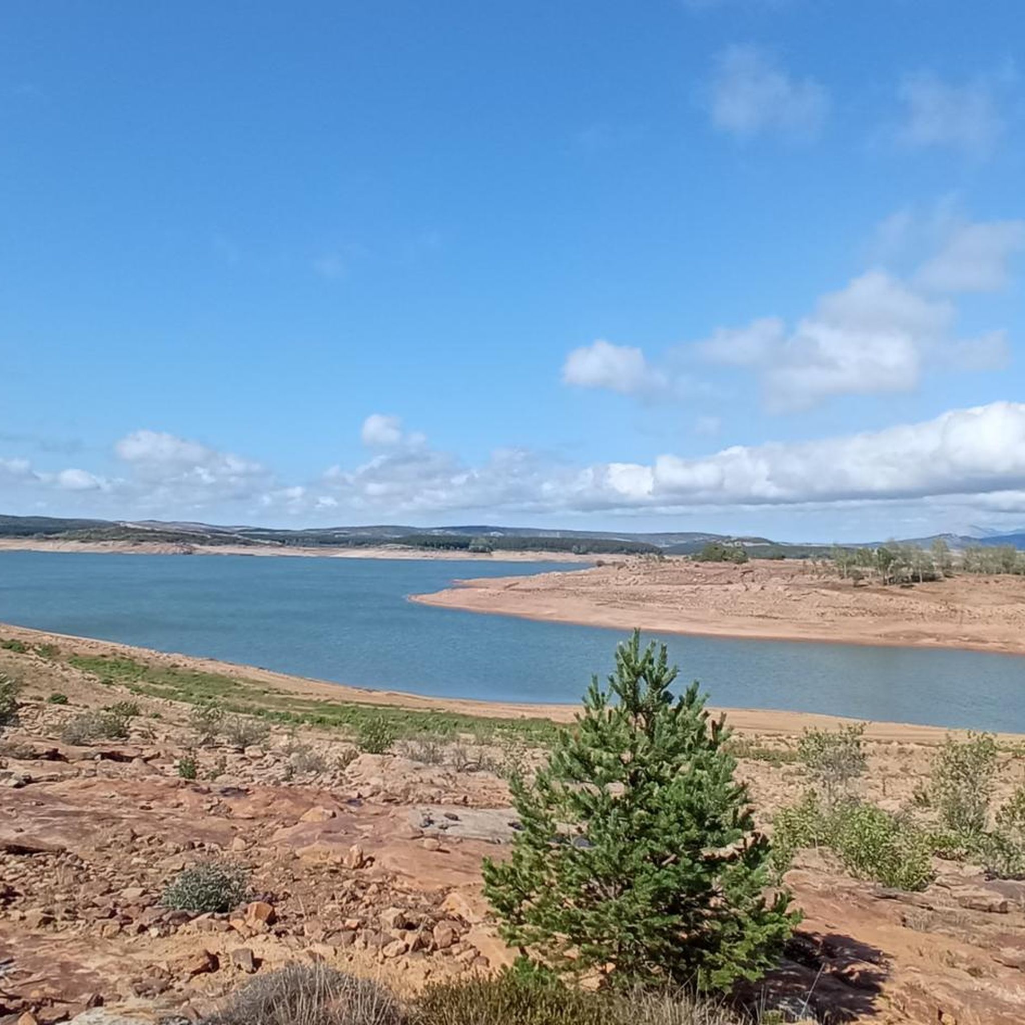
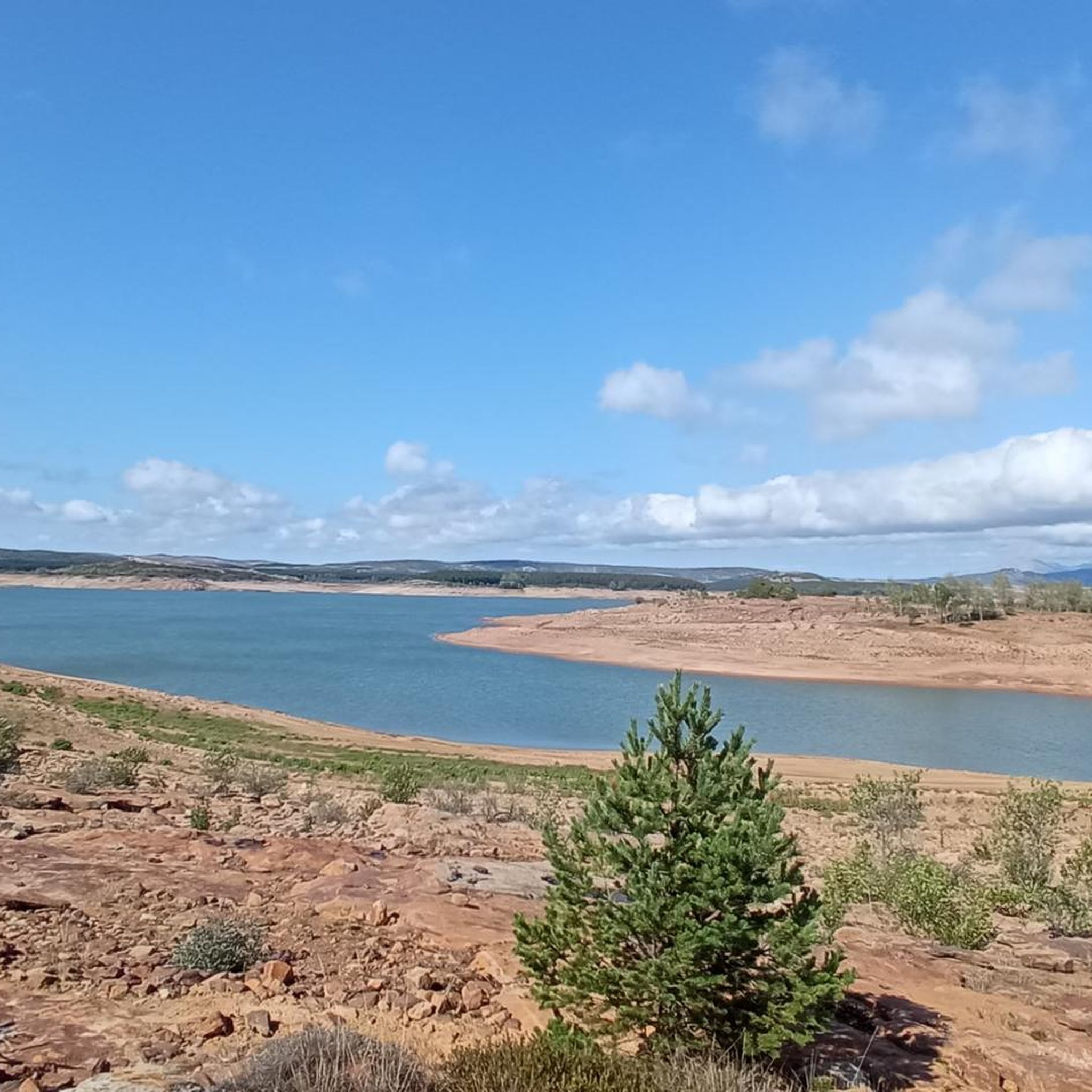
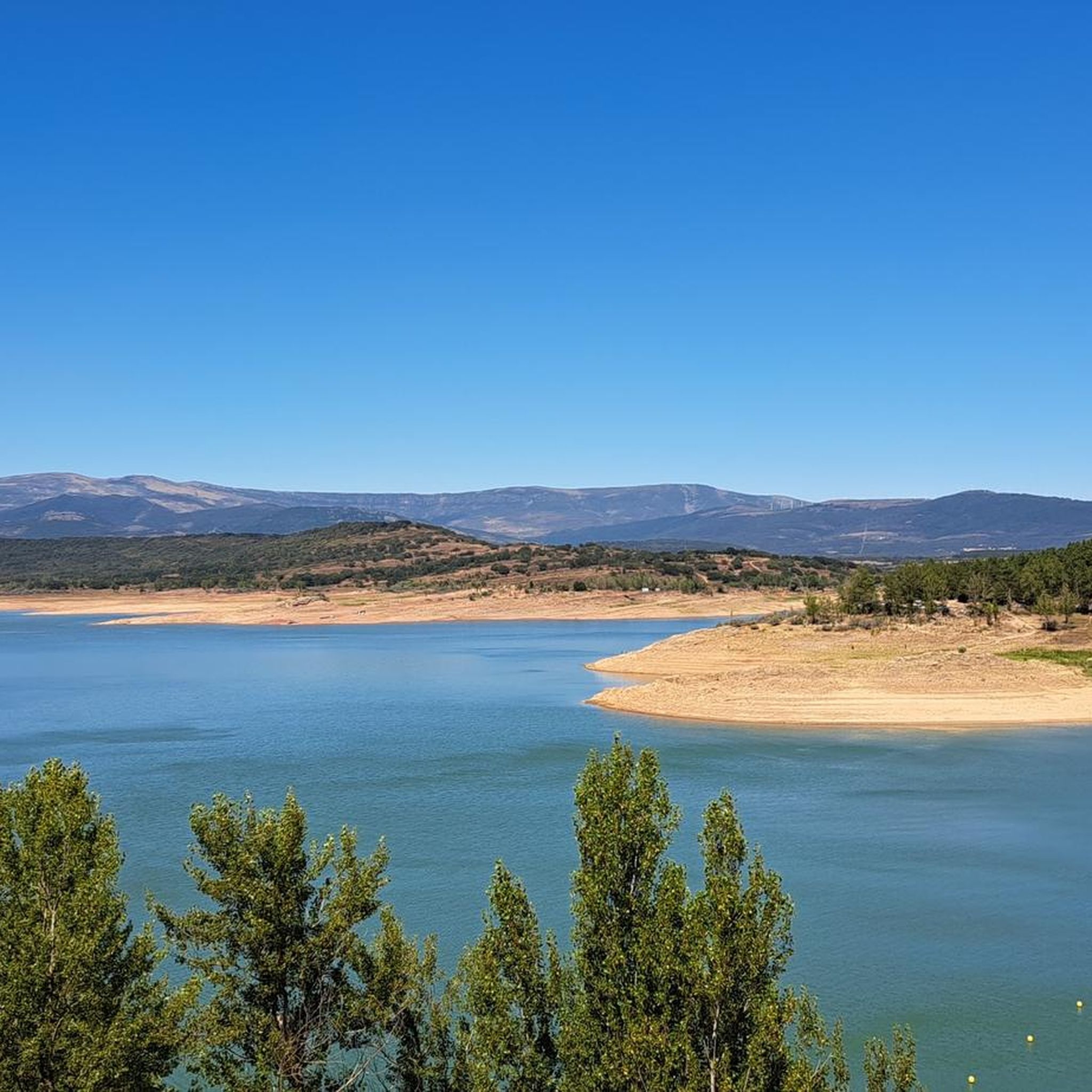
Gravel biking around Embalse de Aguilar offers routes through varied mountainous terrain and lush greenery surrounding the largest reservoir in Palencia. The region features distinctive geological formations, including karst landscapes and river valleys. These routes often traverse the diverse landscapes of the Montaña Palentina, providing a mix of challenging ascents and scenic paths. The area's blend of Atlantic and Mediterranean climates supports a rich variety of vegetation, enhancing the riding experience.
Best gravel bike trails around Embalse de Aguilar
- The…
Last updated: July 13, 2026
6
riders
Hard gravel ride. Very good fitness required. Mostly paved surfaces. Suitable for all skill levels.
3
riders
Hard gravel ride. Very good fitness required. You may need to push your bike for some segments of this route.

Sign up for free
2
riders
30.8km
02:15
220m
220m
Hard gravel ride. Good fitness required. You may need to push your bike for some segments of this route.
2
riders
Hard gravel ride. Very good fitness required. You may need to push your bike for some segments of this route.
2
riders
57.8km
04:00
800m
800m
Hard gravel ride. Very good fitness required. Mostly paved surfaces. Suitable for all skill levels.
Get access to more routes and recommendations from other explorers.
Sign up for free
Already have an account?
Our route recommendations are based on thousands of hikes, rides, and runs completed by other people on komoot.
Start today with a free account
Your next adventure awaits.
Login or Signup
Tips from the Community

It is a small bridge that crosses the waters of the Rubagón river. On one side there is a clearing with information panels. A perfect spot for a short stop on your route.
0
0


In the Plaza de España, the nerve centre of the town.
1
0
The amount of water this river carries is always surprising.
1
0

Puente Mayor over the Pisuerga River is of medieval origin. We can see the small islands in the river and the castle hill.
2
0

The next town is Vallespinoso de Aguilar. The hermitage of Santa Cecilia, immediately standing out on a castle hill, is dated to the 12th century and was declared a historical-artistic monument in 1951. The portico has well-carved capitals and the location conveys the atmosphere of a fortress sanctuary.
0
0

Nice railway bridge that crosses the Pisuerga river on the outskirts of Salinas de Pisuerga.
1
0
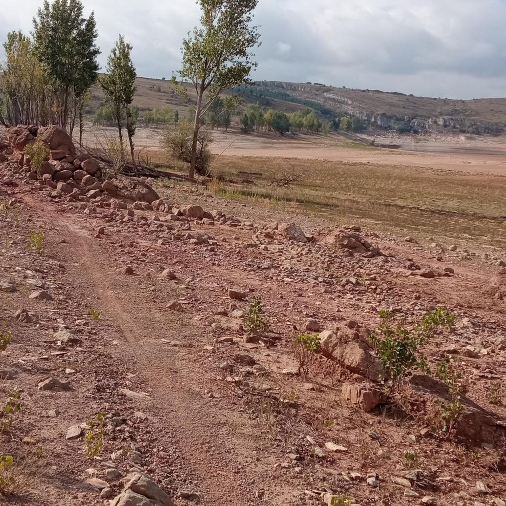
Section of gravel track with small ups and downs and a nice view with the mountains in the distance.
1
0
Frequently Asked Questions
How many gravel bike trails are available around Embalse de Aguilar?
There are 7 gravel bike routes documented on komoot for the Embalse de Aguilar area. These routes primarily cater to experienced riders, as all are rated as difficult.
What is the overall difficulty level of gravel biking in this region?
The gravel biking routes around Embalse de Aguilar are generally considered challenging. All 7 routes listed in this guide are rated as difficult, often involving significant elevation gains and longer distances, making them suitable for riders with good fitness and advanced skills.
What do other gravel bikers say about the trails around Embalse de Aguilar?
The komoot community highly rates the gravel biking experience around Embalse de Aguilar, with an average score of 5.0 stars based on 2 ratings. Riders often praise the diverse landscapes, from the expansive reservoir views to the mountainous terrain of Montaña Palentina, and the challenging nature of the routes.
When is the best time of year to go gravel biking near Embalse de Aguilar?
The Embalse de Aguilar region offers enjoyable gravel biking conditions for much of the year. Spring and autumn generally provide the most pleasant temperatures and vibrant scenery. Summer can be warm, but the reservoir offers opportunities for water sports to cool off. Winter riding is possible, but conditions can be colder and some higher elevation areas might be affected by snow or ice.
Are there any circular gravel bike routes around Embalse de Aguilar?
Yes, many of the gravel routes in the area are circular, allowing you to start and end in the same location. For example, the Salinas de Pisuerga Bridge – Aguilar Reservoir loop from Aguilar de Campoo is a challenging 49.7 km circular route with over 600 meters of elevation gain.
Are there any family-friendly gravel bike routes in the Embalse de Aguilar area?
While the routes listed in this guide are rated as difficult and are generally suited for experienced riders, the Embalse de Aguilar area does offer other outdoor activities. For families looking for less strenuous options, there are easier hiking trails around the reservoir, and the reservoir beach is a popular spot for swimming and picnicking.
Where can I park my car when visiting the gravel bike trails?
Many of the gravel bike routes around Embalse de Aguilar start from the town of Aguilar de Campoo, where you can typically find parking. For instance, routes like the Collegiate Church of San Miguel – Salinas de Pisuerga Bridge loop from Aguilar de Campoo begin and end in Aguilar de Campoo, making it a convenient base for parking.
Is it possible to reach the gravel bike trails around Embalse de Aguilar using public transport?
Public transport options to the Embalse de Aguilar region, particularly for accessing specific trailheads, can be limited. Aguilar de Campoo, the main town in the area, may have bus connections, but it's advisable to check local schedules in advance. For maximum flexibility, traveling by car is generally recommended for reaching the starting points of these gravel routes.
What interesting sights or landmarks can I see while gravel biking around Embalse de Aguilar?
The region is rich in natural beauty and historical sites. You can encounter landmarks like the Aguilar de Campoo Castle, the Collegiate Church of San Miguel, and unique geological formations such as those in the Natural Space of Las Tuerces, known for its karst landscapes. Routes like the Aguilar de Campoo Castle – Pisuerga River loop from Aguilar de Campoo will take you past some of these points of interest.
Are there any routes that offer particularly scenic views of the reservoir or mountains?
Absolutely. The entire Embalse de Aguilar area is known for its picturesque scenery. Routes that traverse the reservoir's perimeter or climb into the Montaña Palentina will offer expansive views of the turquoise waters meeting the mountainous terrain. The Salinas de Pisuerga Bridge – Pista de Grilleras loop from Aguilar de Campoo, for example, provides varied scenery including views of the reservoir and surrounding natural landscapes.
Are there any longer, challenging gravel routes for experienced riders?
Yes, the Embalse de Aguilar region is ideal for experienced gravel bikers seeking a challenge. The Menhir El Peñuco de Bercedo loop from Aguilar de Campoo is a demanding 57.8 km route with nearly 800 meters of elevation gain, offering a significant test of endurance and skill through varied terrain.
Most popular routes around Embalse de Aguilar

Get inspired with the komoot mobile app


Explore more
Browse the best Gravel rides in other regions.
