The best road cycling routes around Embalse de Aguilar
4.3
(20)
1,119
riders
65
rides
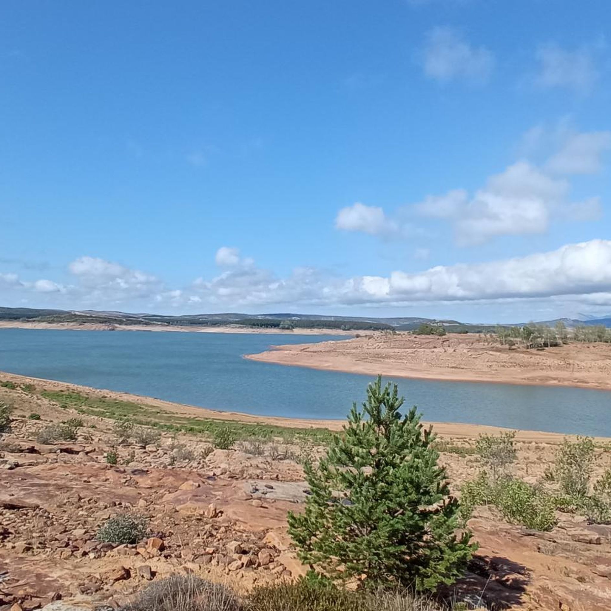
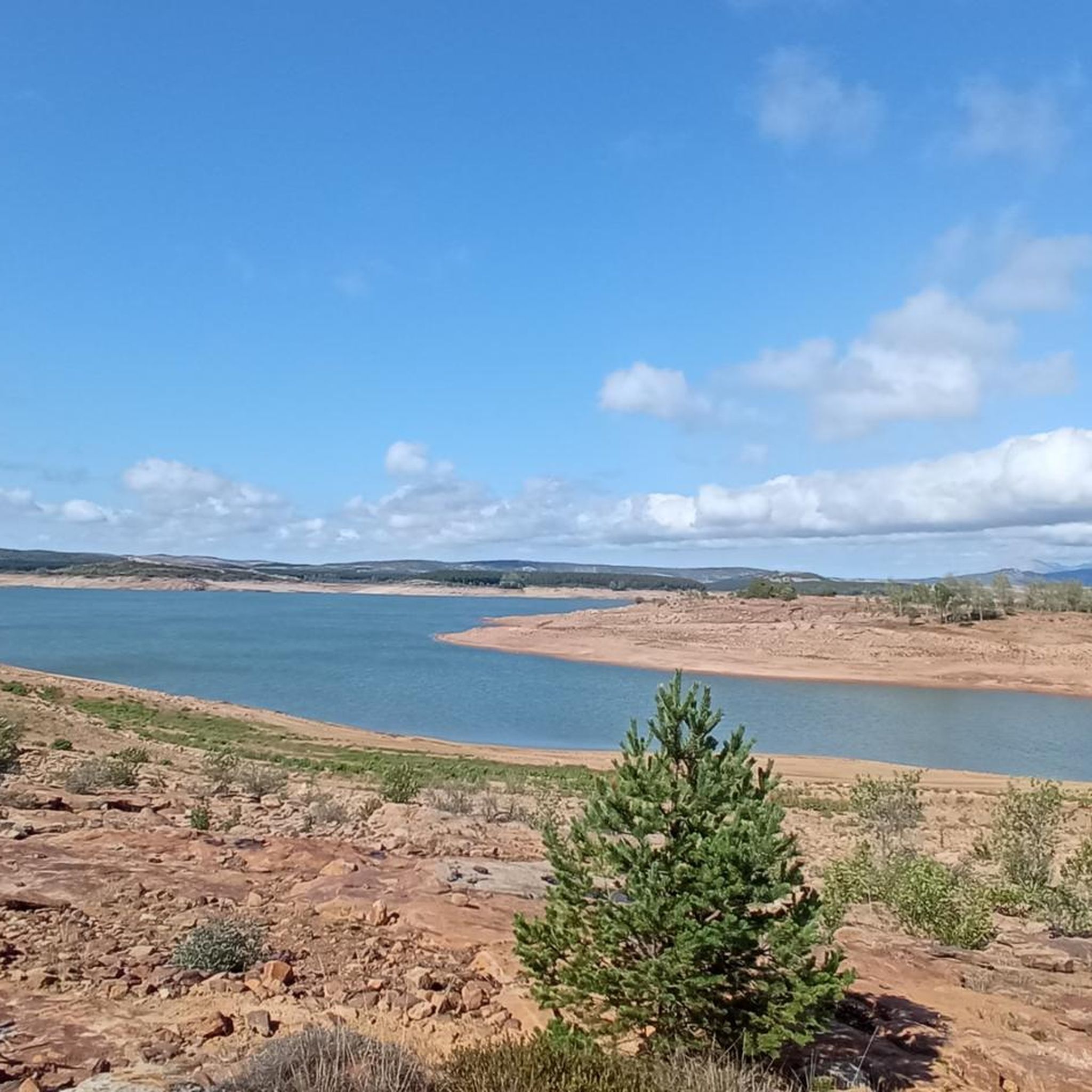
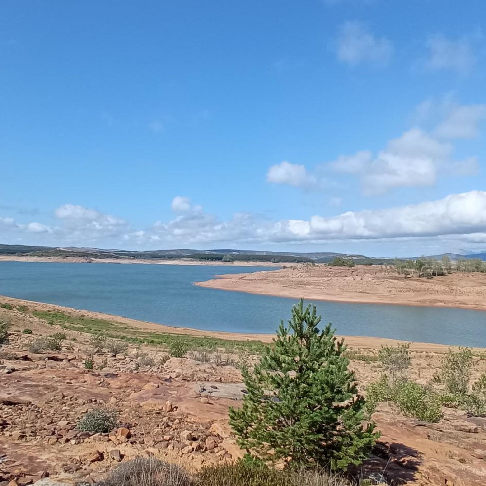
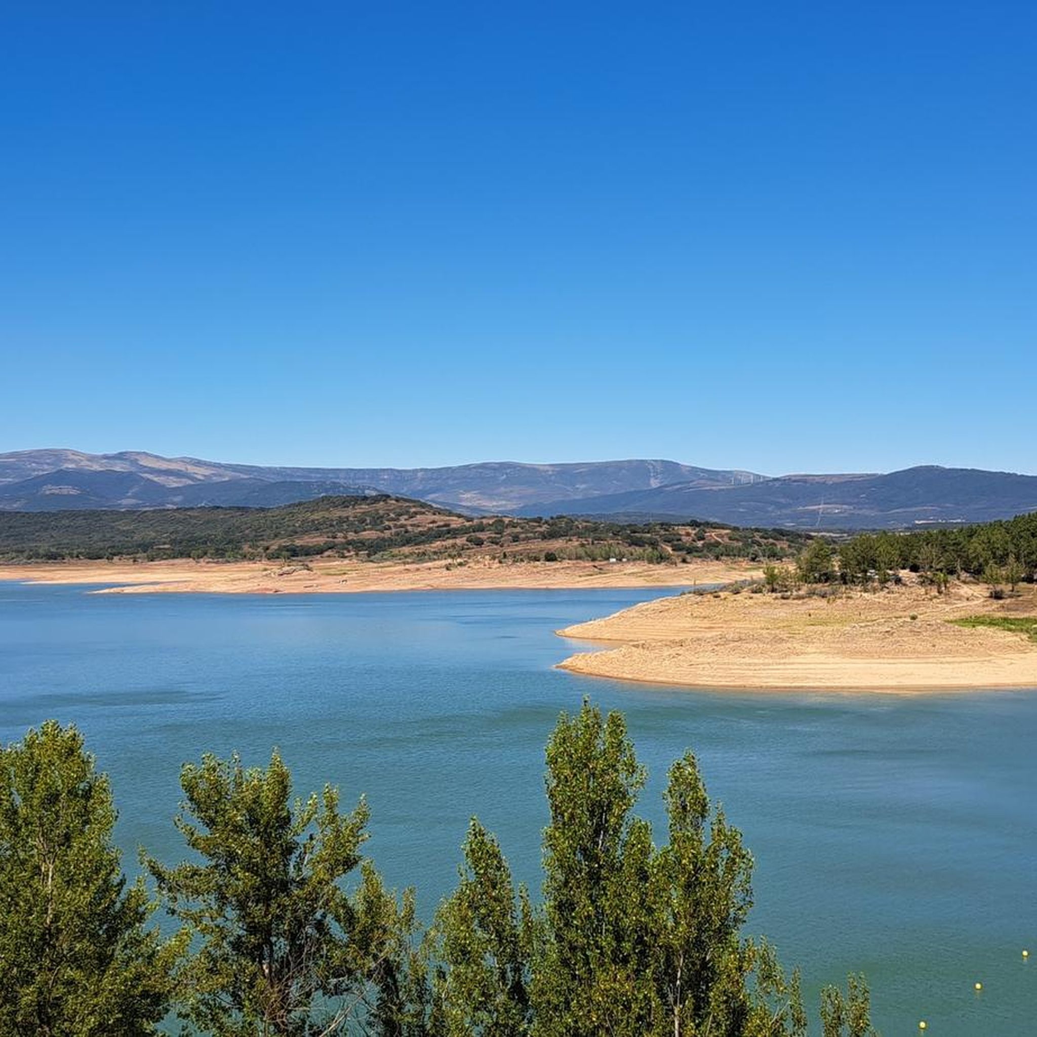
Road cycling around Embalse de Aguilar offers diverse landscapes where the Cantabrian Mountains meet the Duero River basin, providing varied and scenic terrain. Cyclists can expect grand stone blocks and picturesque views across mostly paved surfaces. The region features a large reservoir, artificial beaches, and pine forests, creating a pleasant environment for rides. Panoramic views of the reservoir and the Palentina mountain range are common along the routes.
Best road cycling routes around Embalse de Aguilar
- The most popular road…
Last updated: July 15, 2026
4.0
(2)
94
riders
75.1km
03:23
810m
810m
Moderate road ride. Good fitness required. Some segments of this route may be unpaved and difficult to ride.
5.0
(1)
70
riders
86.3km
04:12
1,190m
1,190m
Hard road ride. Very good fitness required. Mostly well-paved surfaces and easy to ride.

Sign up for free
14
riders
Moderate road ride. Good fitness required. Some segments of this route may be unpaved and difficult to ride.
10
riders
Moderate road ride. Good fitness required. Mostly well-paved surfaces and easy to ride.
9
riders
129km
05:38
1,250m
1,250m
Hard road ride. Very good fitness required. Mostly well-paved surfaces and easy to ride.
Get access to more routes and recommendations from other explorers.
Sign up for free
Already have an account?
Our route recommendations are based on thousands of hikes, rides, and runs completed by other people on komoot.
Start today with a free account
Your next adventure awaits.
Login or Signup

Tips from the Community

Steep but short and manageable climb
0
0

Very beautiful surroundings
0
0
Comfortable and pleasant route
0
0

The amount of water this river carries is always surprising.
1
0

Puente Mayor over the Pisuerga River is of medieval origin. We can see the small islands in the river and the castle hill.
2
0

Perapertú, located in the Mudá Valley, in the Palencia Mountain, offers a spectacular environment to enjoy nature and the mountains. Its town center has ashlar constructions and a church dedicated to San Quirico and Santa Juliana.
1
0
Ruins of the Castillo de Aguilar located on top of a strategic hill, watching over the beautiful biscuit town. The keep dates from the 9th and 10th centuries, while most of the walls are from the 14th and 15th centuries. Next to the Romanesque church of Santa Cecilia, on the same hill, it creates an impressive photographic image.
2
0

Small town in the province of Palencia, in the beautiful region of the Montaña Palencia. We find the Romanesque church of San Bartolomé.
2
0
Frequently Asked Questions
What kind of terrain can I expect when road cycling around Embalse de Aguilar?
The Embalse de Aguilar area offers diverse landscapes where the Cantabrian Mountains meet the Duero River basin. You'll encounter varied and scenic terrain, often featuring grand stone blocks and picturesque views. Most surfaces are paved, making them ideal for road cycling, though the overall landscape provides a dynamic riding experience.
How challenging are the road cycling routes in Embalse de Aguilar?
The region caters to various fitness levels. You'll find a good mix of routes, with 5 easy options perfect for a relaxed ride, 36 moderate routes for those seeking a bit more challenge, and 24 difficult routes for experienced cyclists looking for demanding climbs and longer distances.
Are there road cycling routes suitable for beginners or families in Embalse de Aguilar?
Yes, there are several easy road cycling routes around Embalse de Aguilar. For instance, the Aguilar Reservoir loop from Aguilar de Campoo is an easy 9.1 km (5.6 miles) trail that offers pleasant views of the reservoir and is suitable for those new to road cycling or looking for a gentle ride.
What scenic views and natural attractions can I enjoy while road cycling in the Embalse de Aguilar area?
Cyclists can enjoy exceptional panoramic views of the Embalse de Aguilar, the Palentina mountain range, and the town of Aguilar, especially near the dam. The routes often pass through magnificent pine forests and by artificial beaches, offering pleasant scenery. The wider 'Ruta de los Pantanos' also provides spectacular landscapes across the Montaña Palentina.
Are there any historical or cultural points of interest along the road cycling routes?
Yes, the area holds historical significance. When water levels are low, submerged medieval ruins of villages like Cenera de Zalima and Villanueva del Río, flooded during the reservoir's construction, can become visible. The Hermitage of the Virgen del Llano, patroness of the Villa, is also located nearby and can be an interesting stop.
What is the best time of year for road cycling around Embalse de Aguilar?
The region is generally pleasant for cycling, but the best time to visit is typically during spring and autumn when temperatures are milder. Summer can also be enjoyable, especially with the recreational areas around the reservoir, though it might be warmer. Winter conditions can vary, with some routes potentially affected by colder weather or precipitation in the Cantabrian Mountains.
Are there any circular road cycling routes around Embalse de Aguilar?
Yes, many routes in the area are designed as loops, allowing you to start and finish in the same location. A notable example is the Aguilar Reservoir loop from Aguilar de Campoo. The broader 'Ruta de los Pantanos' also forms an extensive loop around multiple reservoirs, offering a longer circular option.
Where can I find parking when planning a road cycling trip to Embalse de Aguilar?
The town of Aguilar de Campoo, located just two kilometers from the reservoir, serves as a convenient base and offers various parking options. Many routes also start from towns like Salinas de Pisuerga, where you can typically find parking facilities suitable for cyclists.
Are there cafes or pubs near the road cycling routes for a break?
Aguilar de Campoo is a good place to find cafes, pubs, and restaurants to refuel before or after your ride. Smaller villages along the routes, such as Salinas de Pisuerga, may also offer local establishments where you can take a break and enjoy some local gastronomy.
What do other road cyclists enjoy most about road cycling in Embalse de Aguilar?
The area is highly rated by the komoot community, with an average score of 4.2 stars. Reviewers often praise the varied terrain where mountains meet the river basin, the stunning reservoir views, and the presence of pine forests. The network of routes offers options for all ability levels, which is also highly appreciated.
Can I bring my dog on the road cycling routes around Embalse de Aguilar?
While the region is generally outdoor-friendly, road cycling routes are primarily designed for bikes on paved surfaces. If you plan to bring a dog, ensure it is accustomed to cycling alongside you or can be safely transported. Always keep dogs on a leash and be mindful of other cyclists and local regulations, especially in populated areas or protected natural spaces.
How many road cycling routes are available in Embalse de Aguilar?
There are over 65 road cycling routes available around Embalse de Aguilar. This extensive network provides numerous options for exploring the diverse landscapes, from easy loops to challenging mountain ascents.
Is there a particularly long or challenging road cycling route in the area?
For a longer and more challenging ride, consider the Salinas de Pisuerga Bridge – Alto del Bardal loop from Salinas de Pisuerga. This difficult 86.3 km (53.6 miles) trail leads through the Cantabrian Mountains and involves significant elevation gain, typically taking over 4 hours to complete.
Most popular routes around Embalse de Aguilar

Get inspired with the komoot mobile app


Explore more
Browse the best Road cycling routes in other regions.
