The best gravel rides in Forêt Noire
4.2
(4)
28
riders
5
rides
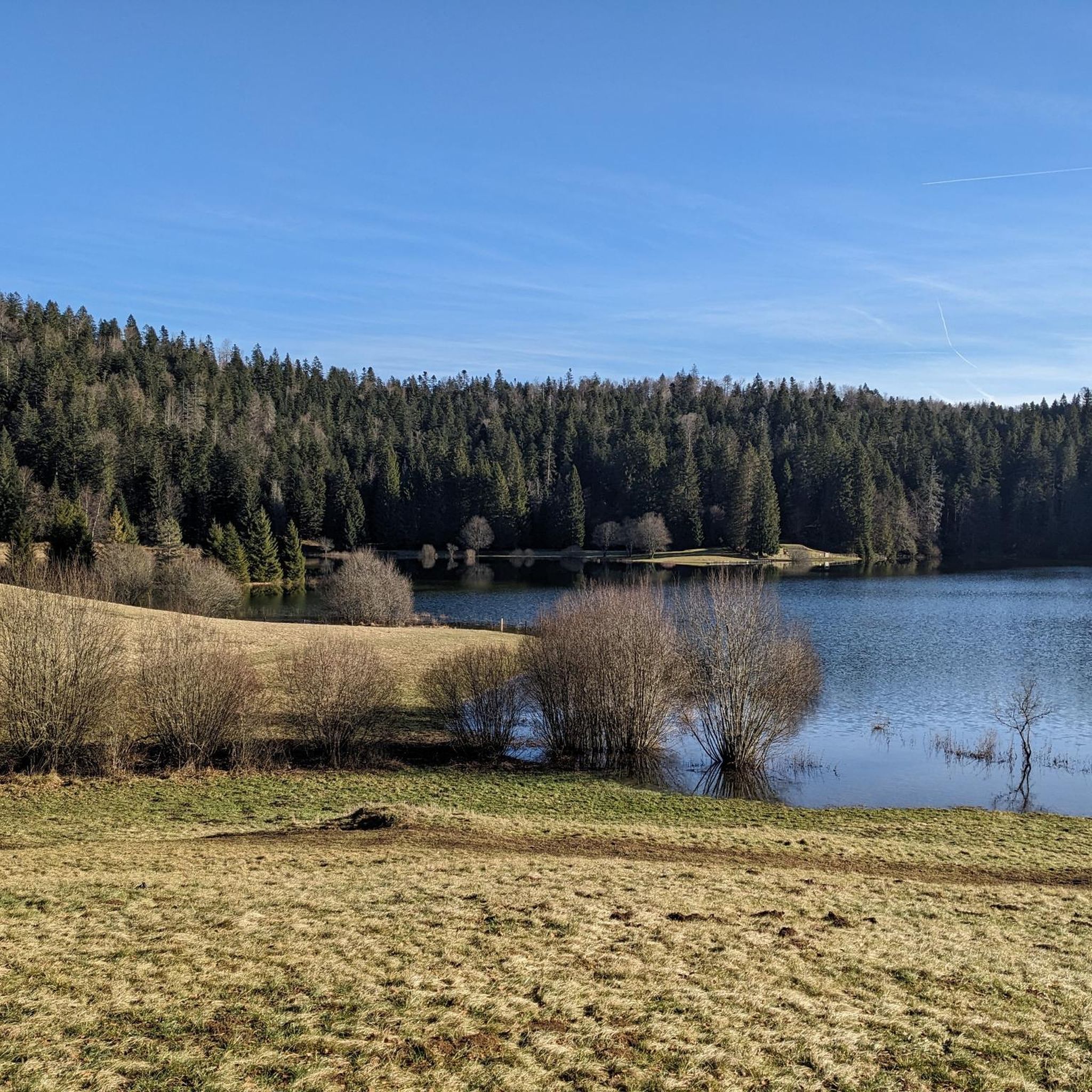
Gravel biking in Forêt Noire features a diverse topography of rolling hills, dense evergreen forests, and winding rivers. The region is characterized by varied terrain, from lush valleys to elevated ridges, providing an extensive network of trails. Expansive forests offer numerous shaded routes, while areas with vineyards add to the scenic variety. This landscape provides varied experiences for all levels of gravel biking.
Best gravel bike trails in Forêt Noire
- The most popular gravel bike trail is Lake Genin –…
Last updated: July 4, 2026
5.0
(1)
2
riders
30.8km
02:14
760m
760m
Hard gravel ride. Very good fitness required. Mostly paved surfaces. Suitable for all skill levels.
4.5
(2)
13
riders
39.8km
02:48
760m
760m
Hard gravel ride. Very good fitness required. You may need to push your bike for some segments of this route.

Sign up for free
3
riders
34.0km
02:31
660m
660m
Hard gravel ride. Very good fitness required. You may need to push your bike for some segments of this route.
2
riders
40.7km
02:52
770m
770m
Hard gravel ride. Very good fitness required. Mostly paved surfaces. Suitable for all skill levels.
3.0
(1)
8
riders
133km
10:05
2,840m
2,840m
Hard gravel ride. Very good fitness required. Mostly paved surfaces. Suitable for all skill levels.
Our route recommendations are based on thousands of hikes, rides, and runs completed by other people on komoot.
Start today with a free account
Your next adventure awaits.
Login or Signup
Tips from the Community

The ruin is very beautiful, panels indicate the history of the site, very instructive! Calm and relaxing, the site offers a magnificent setting and allows for nice picnic breaks!
0
0

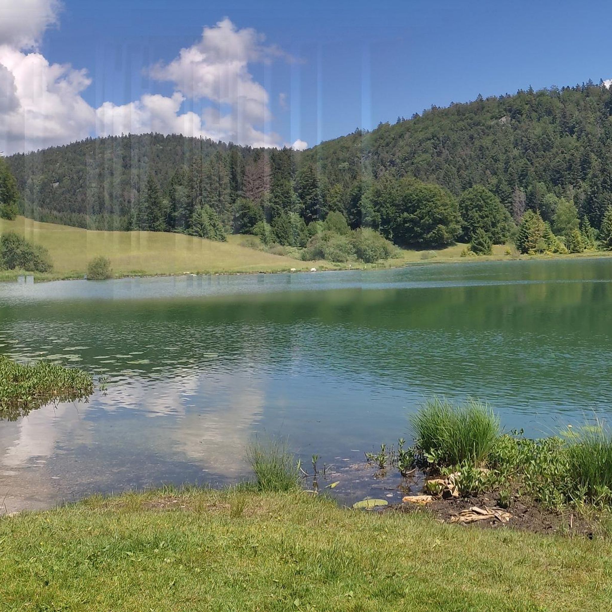
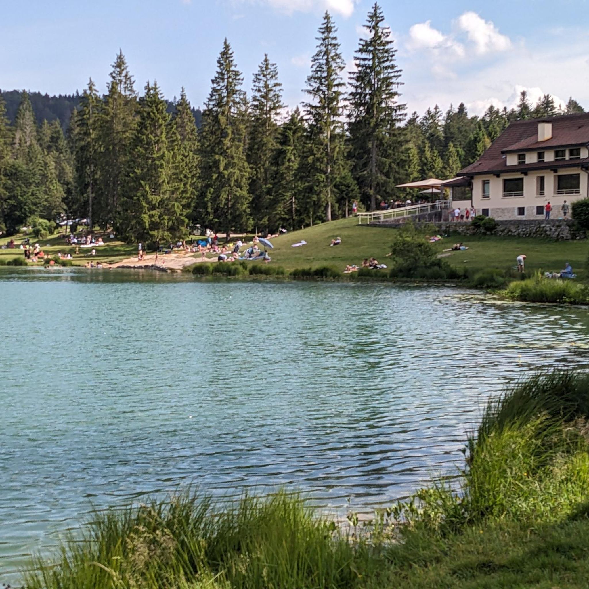
The Lac de Nantua is a superb body of water of 141 hectares. In the heart of the Jura, it offers an ideal setting for practicing a multitude of sports. It is even possible to swim in its waters.
1
0
The Peney viewpoint overlooks Lake Sylans, on which it offers a beautiful view. Classified since 1909, one can distinguish on its banks the ruins of the old ice factories which commercialized the ice extracted from the lake until 1917. The passage is located at the level of the tunnel of the same name.
0
0
The Marron ponds are named after a family from Brénod, it is not a reference to the color of the water. Only one of them remains filled with water all year round. This one served as a water reserve and fishing spot for the monks of the Meyriat abbey. In spring, a multitude of water lilies cover the surface.
0
0

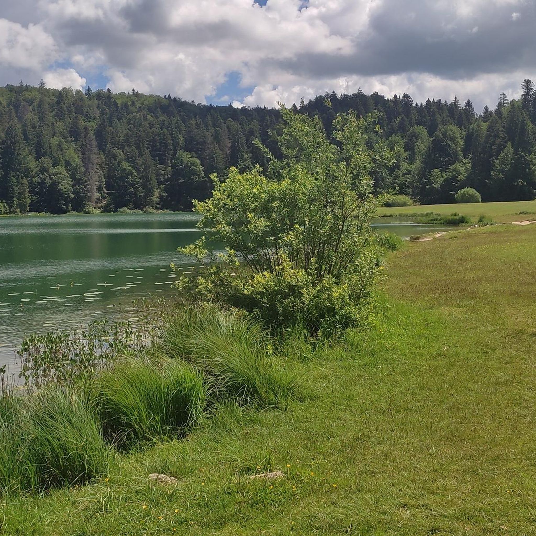
Pretty little lake in the heart of the small Jura mountains
0
0
Beautiful, simple, easy walk; lots of traffic noise on the "road" section, a bit of a shame, but the color of the water is magical
1
0

beautiful pass, quite rolling especially through St Germain de Joux, a little tougher on the Saint Claude side. lots of writing on the ground since the Tour de France passed through.
0
0

The Col de Bérentin connects the Valserine Valley to the Retord Plateau, passing through the beautiful Jura forests. Its ascent is gradual and the road is little traveled.
0
0
Frequently Asked Questions
What kind of terrain can I expect on gravel bike trails in Forêt Noire?
Forêt Noire offers a diverse topography for gravel biking. You'll encounter rolling hills, dense evergreen forests, and winding rivers. The trails feature varied terrain, from lush valleys to elevated ridges, providing a wide network of routes. Expansive forests offer numerous shaded paths, while areas around lakes add to the scenic variety. The region is known for its extensive network of fine gravel roads and forest tracks.
How many gravel bike trails are available in Forêt Noire?
There are several gravel bike trails in Forêt Noire, with komoot featuring 4 routes in this guide. These routes are generally considered difficult, offering a good challenge for experienced riders.
Are there any circular gravel bike routes in Forêt Noire?
Yes, Forêt Noire features several excellent circular gravel bike routes. For example, the Lake Genin – Lake Genin loop from Oyonnax is a popular option, covering 30.8 km with significant elevation gain through varied forest terrain. Another great choice is the Lake Nantua – View of Lake Nantua loop from Nantua, which offers scenic views around Lake Nantua over 31.5 km.
What is the typical difficulty level of gravel bike trails in Forêt Noire?
The gravel bike trails listed in this guide for Forêt Noire are generally rated as difficult. They often involve significant elevation gain and varied terrain, making them suitable for riders looking for a challenging experience. For instance, the Lake Nantua – Lac de Nantua loop from Brion - Montréal-la-Cluse covers 44.8 km with nearly 700 meters of ascent.
What are some notable natural features or landmarks I might see on a gravel bike ride in Forêt Noire?
While riding in Forêt Noire, you'll encounter dense forests, rolling hills, and winding rivers. Many routes, such as those around Lake Genin and Lake Nantua, offer picturesque lakeside views. The region's landscape is characterized by its natural beauty, with opportunities to explore lush valleys and elevated ridges.
What do other gravel bikers enjoy most about gravel biking in Forêt Noire?
The area is highly rated by the komoot community, with an average score of 5.0 stars. Reviewers often praise the varied terrain, challenging climbs, and the scenic beauty of the lakes and forests.
Are there any long-distance gravel biking options in Forêt Noire?
While the routes in this guide are typically day trips, the region's extensive network of gravel roads and forest tracks allows for longer, multi-day bikepacking adventures. You can combine several routes or explore different sections to create an extended tour, taking advantage of the diverse landscapes.
When is the best time of year for gravel biking in Forêt Noire?
Spring and autumn generally offer mild temperatures and vibrant scenery, making them ideal for gravel biking. Summer provides longer daylight hours for extended rides, though some forest trails offer welcome shade. It's always a good idea to check local weather conditions before heading out.
Are there any routes that pass by lakes in Forêt Noire?
Yes, several routes prominently feature lakes. The Lake Nantua – View of Lake Nantua loop from Nantua and the Lake Nantua – Lac de Nantua loop from Brion - Montréal-la-Cluse both offer stunning views around Lake Nantua. The Lake Genin – Lake Genin loop from Oyonnax also circles a beautiful lake, providing a refreshing backdrop to your ride.
What kind of elevation gain can I expect on these trails?
The gravel bike trails in Forêt Noire often feature significant elevation gain. For example, the Lake Genin – Lake Genin loop from Oyonnax has over 750 meters of ascent, and the Lake Nantua – View of Lake Nantua loop from Nantua includes over 650 meters of climbing. Be prepared for challenging ascents and rewarding descents.
Most popular routes in Forêt Noire

Get inspired with the komoot mobile app


Explore more
Browse the best Gravel rides in other regions.
