The 5 Most Amazing Peaks around Aguas Cándidas
Mountain peaks around Aguas Cándidas offer diverse experiences for hikers and nature enthusiasts. This region, known for its natural beauty, features several notable summits. These peaks provide panoramic views and present varying levels of challenge. The area is characterized by its mountainous landscape, making it suitable for outdoor exploration.
Best mountain peaks around Aguas Cándidas
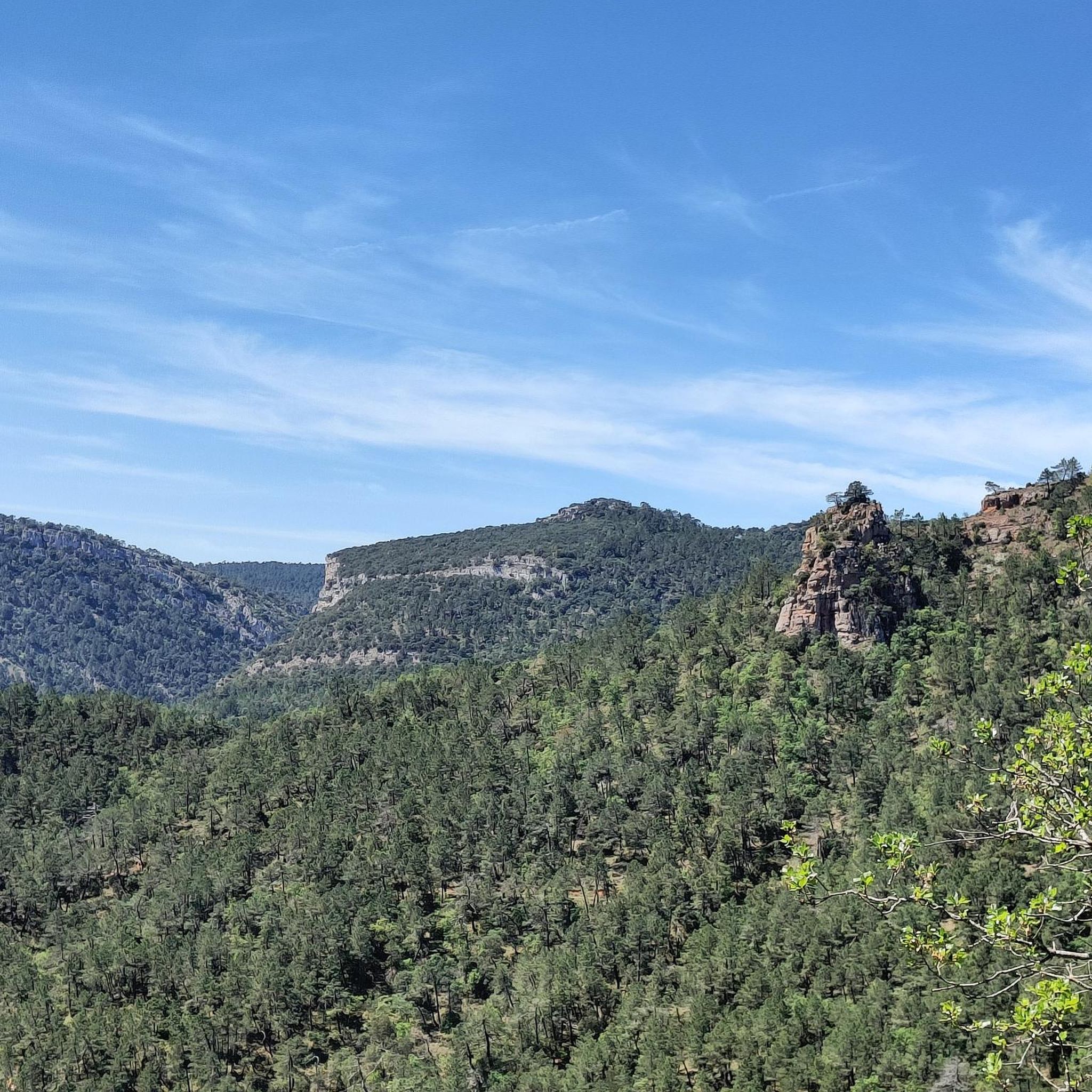
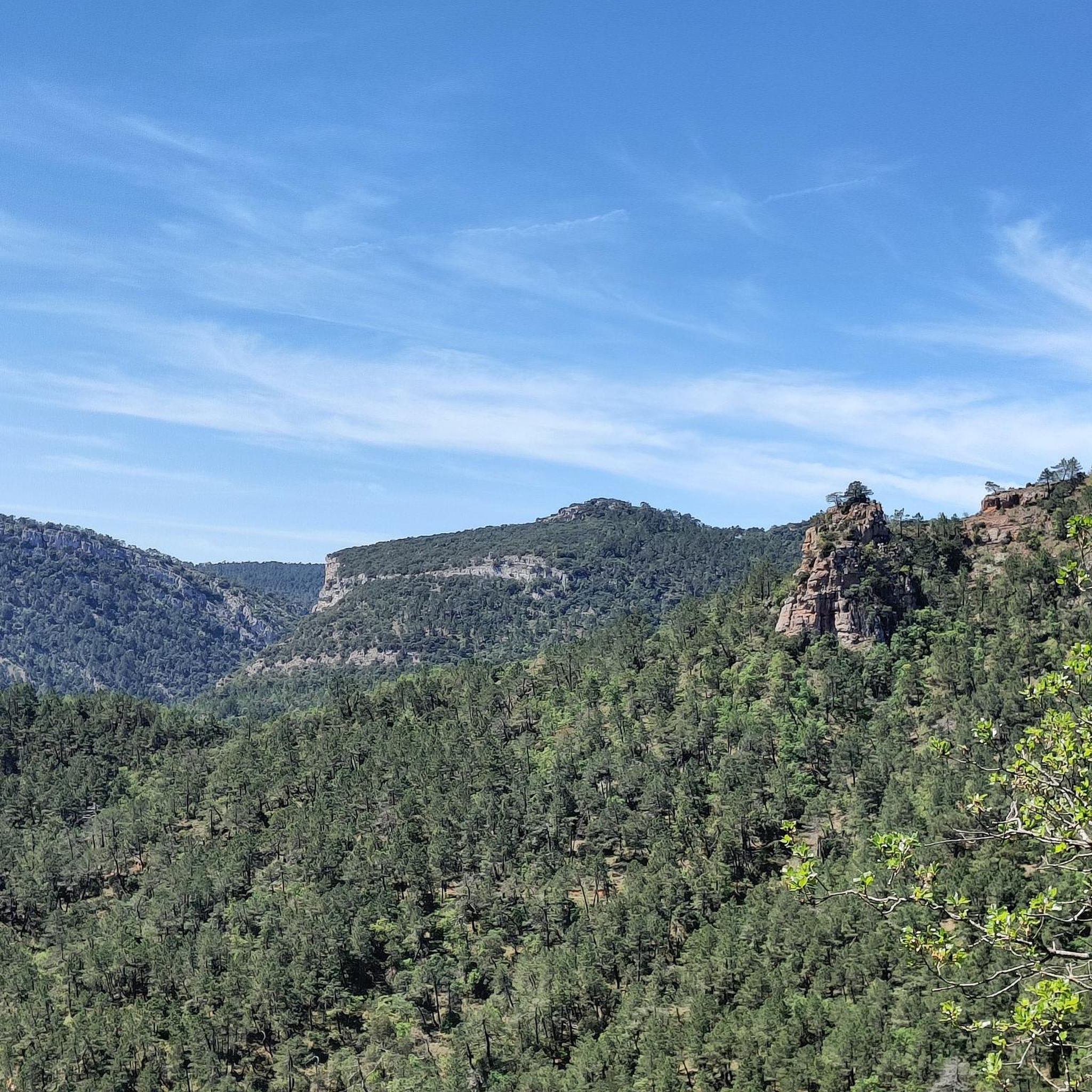
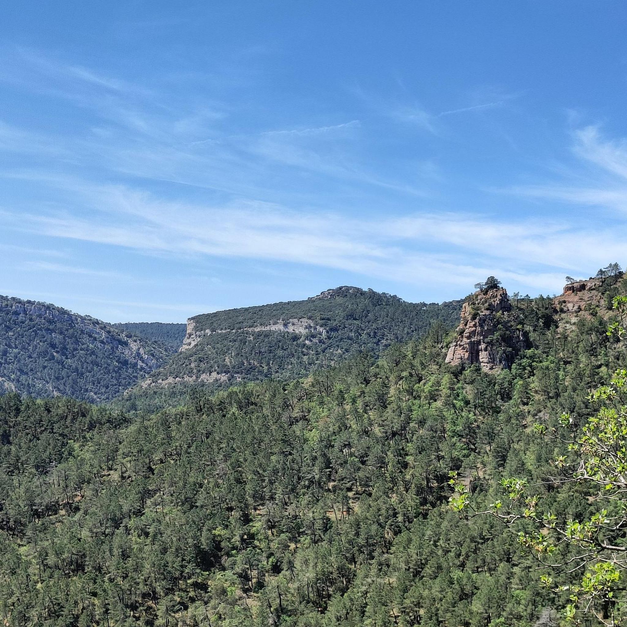
- The most popular mountain peaks is Coronilla Summit (1,172 m), a summit that offers fabulous views after an uphill climb. The final ascent to…
Last updated: July 4, 2026
Coronilla Summit (1,172 m)
Highlight • Summit
Translated by Google •
Tip by

MesaDeOña (summit)
Highlight • Summit
Translated by Google •
Tip by
Sign up now to discover places like this
Get recommendations on the best single tracks, peaks, & plenty of other exciting outdoor places.
Sign up for free
AltoDeTesla
Highlight • Summit
Translated by Google •
Tip by
Mesa de Oña
Highlight • Summit
Translated by Google •
Tip by
Cuchillos
Highlight • Summit
Translated by Google •
Tip by
Sign up for free to discover even more peaks around Aguas Cándidas.
Sign up for free
Already have an account?
Start today with a free account
Your next adventure awaits.
Login or Signup

Tips from the Community

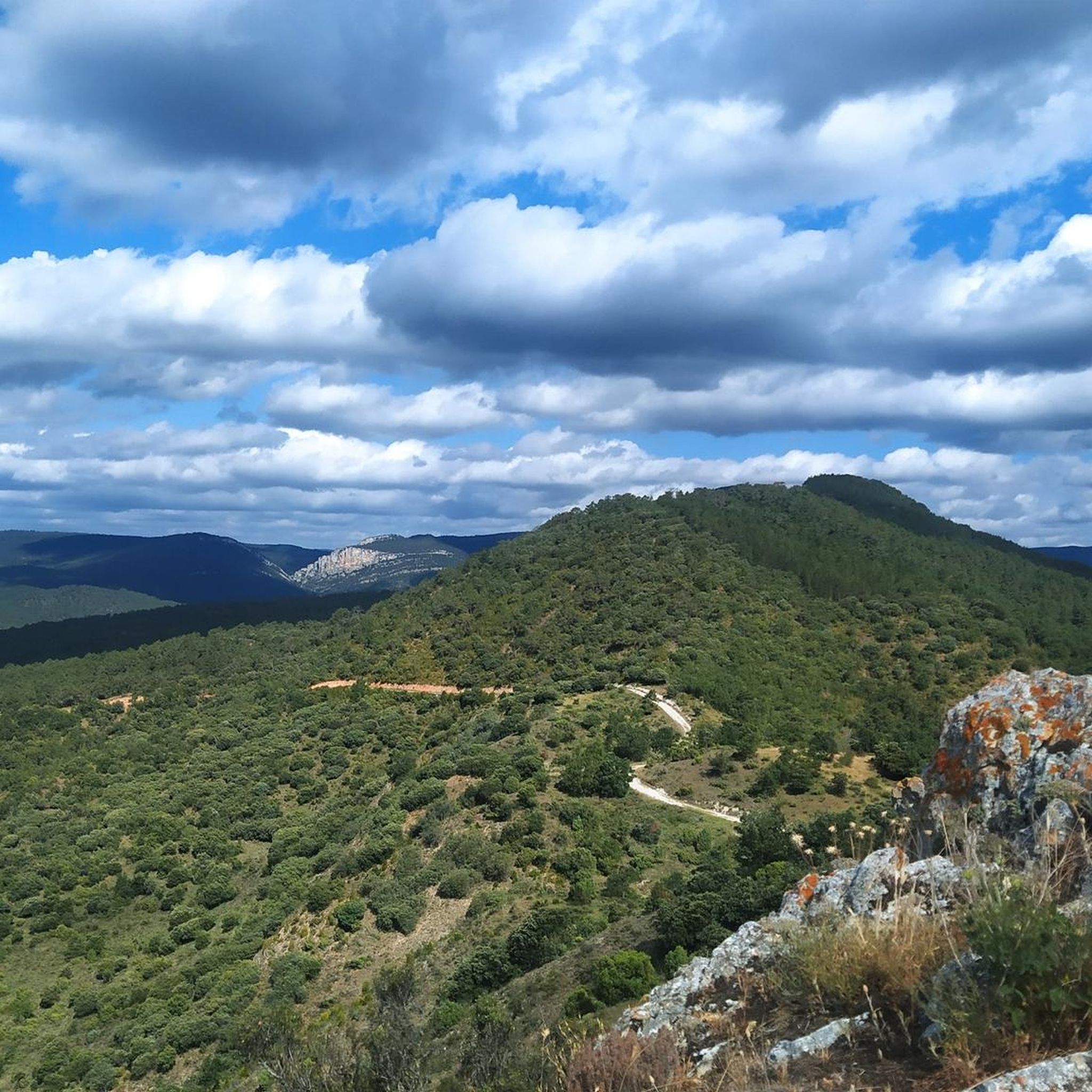
Hard slope, but not complicated, to access the authentic natural viewpoint offered by the Alto de Tesla or Alto de la Muñeca. Spectacular.
2
0
Fabulous views after a long uphill stretch. Worth. It is only 2 meters that you have to climb to get to the mailbox, but it was difficult for me to do it (although I am quite clumsy)
3
0
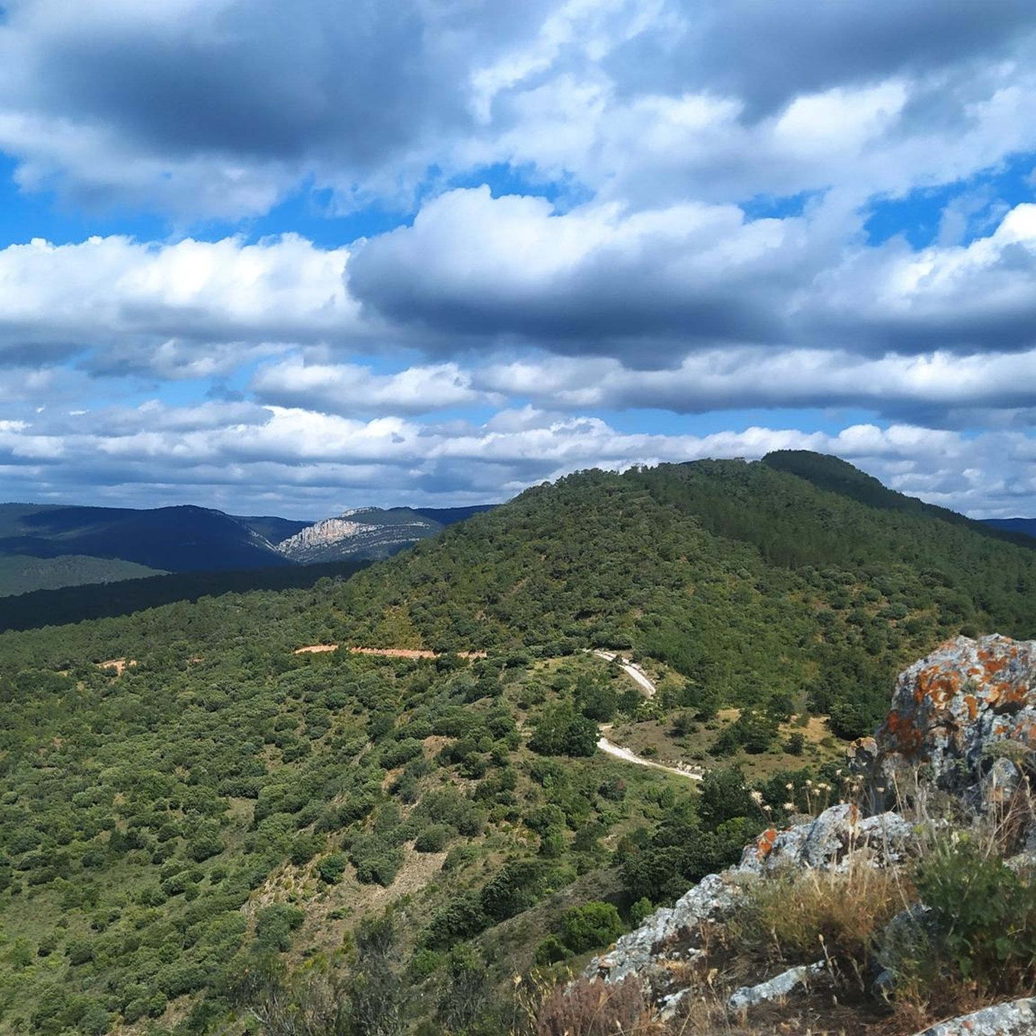
More than mailbox... mailboxes, one of them is a pressure cooker. And the views from here are impressive.
1
0
In this place there is a large pile of stones and a sign indicating the "official" peak, but it is much more beautiful 500 meters further on, when you find the mailbox and the viewpoint.
1
0
There is no marked path, but it is not difficult on any side of the esplanade, other than getting around the boxwoods.
1
0
Frequently Asked Questions
What kind of views can I expect from the mountain peaks in Aguas Cándidas?
The mountain peaks in Aguas Cándidas are renowned for their spectacular vistas. For instance, Coronilla Summit (1,172 m) offers fabulous views after an uphill climb. Similarly, AltoDeTesla is an authentic natural viewpoint providing breathtaking panoramas of the surrounding landscape.
What are the difficulty levels of the mountain peaks in Aguas Cándidas?
The peaks around Aguas Cándidas offer a range of difficulty levels. Some, like Coronilla Summit (1,172 m), involve challenging ascents, particularly the final meters. AltoDeTesla has a hard but manageable slope. For a more rugged experience, Arrantalon is quite difficult to reach due to a very closed and challenging path, while Cuchillos lacks a marked path, appealing to those who prefer off-trail exploration.
Are there specific hiking trails near these mountain peaks?
Yes, there are various hiking opportunities around Aguas Cándidas. You can find a range of routes, from moderate to difficult, that often incorporate these peaks or offer views of them. For detailed hiking trails, you can explore the Hiking around Aguas Cándidas guide, which includes routes like the 'Goblins' Trail' and 'Peña Escalera Trail'.
What other outdoor activities can I do near the mountain peaks?
Beyond hiking, the region around Aguas Cándidas offers opportunities for other outdoor sports. You can find Road Cycling Routes, including challenging loops like 'Poza de la Sal and Valle de las Caderechas Loop'. There are also Running Trails for those who enjoy jogging in nature, such as the 'Depósito Iberdrola loop'.
What is the best time of year to hike the peaks in Aguas Cándidas?
While specific seasonal data isn't provided, generally, spring and autumn offer the most pleasant weather for hiking in mountainous regions like Aguas Cándidas, with milder temperatures and beautiful natural scenery. Summer can also be suitable, especially in the mornings or late afternoons, but be prepared for warmer conditions. Winter hiking is possible for experienced individuals, but trails may be more challenging due to weather conditions.
Do I need any permits to hike the mountain peaks in Aguas Cándidas?
There is no information indicating that permits are required for hiking the mountain peaks in Aguas Cándidas. However, it's always advisable to respect local regulations and private property signs, especially when exploring unmarked paths like those found near Cuchillos.
Are there family-friendly mountain peaks or trails in the region?
While some peaks present challenges, the region offers a range of experiences. For family-friendly options, it's best to look for trails described as 'moderate' in difficulty within the Hiking around Aguas Cándidas guide, as these are generally more accessible. Always check the specific route details and elevation gain to ensure it suits your family's fitness level.
Are the mountain peaks and trails around Aguas Cándidas dog-friendly?
Many natural areas in Spain are dog-friendly, especially if dogs are kept on a leash. While specific regulations for Aguas Cándidas are not detailed, it's generally recommended to keep dogs under control, especially in areas with wildlife or livestock. Always carry water for your dog and clean up after them. Check local signage for any specific restrictions on trails or protected areas.
What makes Coronilla Summit a unique experience?
Coronilla Summit (1,172 m) is unique not just for its fabulous views after a significant uphill stretch, but also for its final ascent. The last two meters to the mailbox at the very top, though short, are described as challenging, providing a distinct sense of accomplishment for those who reach it.
What should I know about hiking to Arrantalon?
Reaching Arrantalon can be quite difficult due to a very closed and challenging path. Visitors are advised to follow the return journey route, as it is generally better than the one used for the ascent. This peak is suited for those seeking a more rugged and adventurous experience rather than a well-defined trail.
Is there a peak that offers an off-trail exploration experience?
Yes, Cuchillos is a peak that appeals to those who prefer off-trail exploration. It lacks a marked path but is not considered difficult to navigate from various sides of the esplanade, apart from maneuvering around boxwoods. This provides a more natural and less-trafficked hiking experience.
What do visitors enjoy most about the mountain peaks in Aguas Cándidas?
Visitors particularly enjoy the rewarding panoramic views after an uphill climb, the sense of accomplishment from challenging ascents, and the diverse natural beauty of the region. The komoot community has shared 11 photos and given 4 upvotes for these highlights, indicating a positive experience with the scenic landscapes and varied hiking opportunities.
Most popular routes around Aguas Cándidas
Most popular attractions around Aguas Cándidas

Get inspired with the komoot mobile app


Explore more
See even more amazing summits around Aguas Cándidas with these guides:
