The best cycling routes around Aguas Cándidas
4.7
(32)
340
riders
34
rides
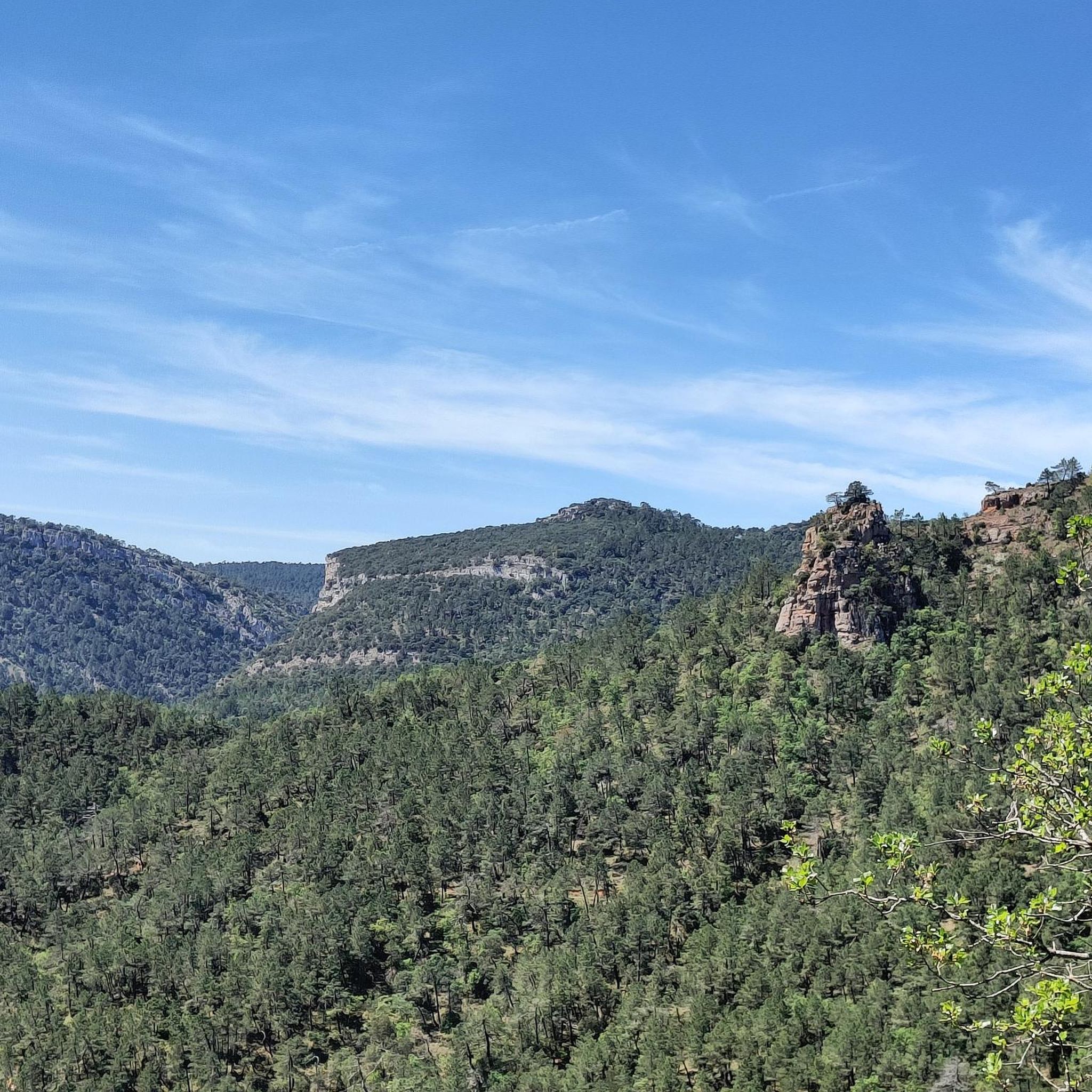
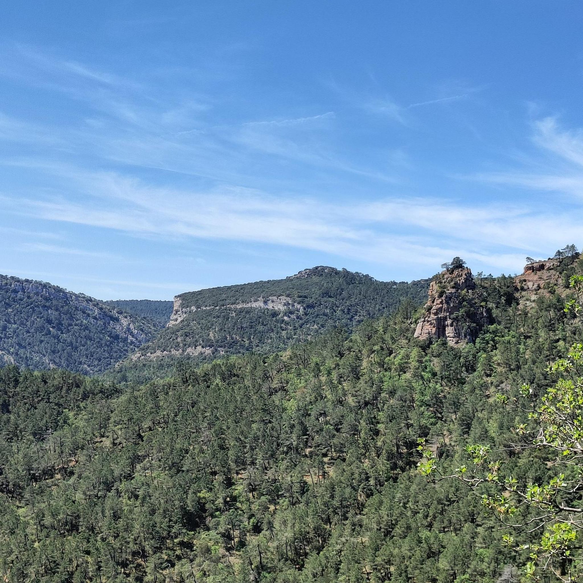
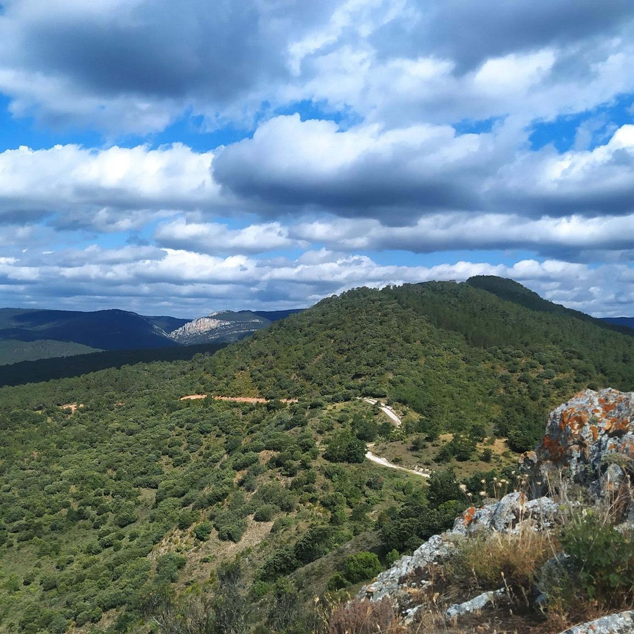
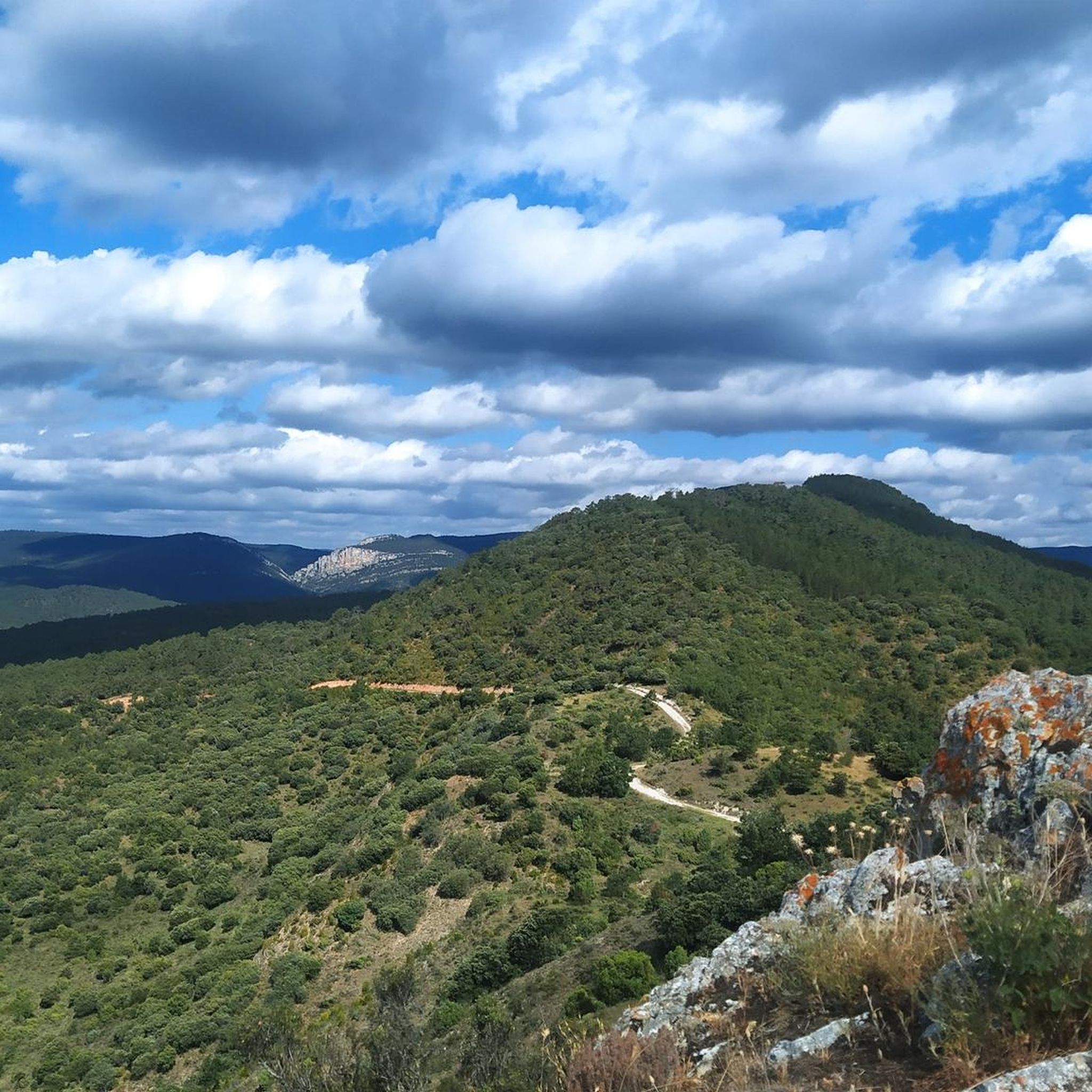
Touring cycling routes around Aguas Cándidas are situated within the scenic Valle de Las Caderechas, characterized by rolling hills and rural landscapes. The region, part of the Burgos province, features natural water elements, including springs and canals, and is surrounded by areas with varied terrain suitable for cycling. Proximity to natural parks like Hoces del Alto Ebro y Rudrón offers opportunities for exploring deep canyons and diverse flora.
Best touring cycling routes around Aguas Cándidas
- The most popular touring cycling…
Last updated: June 28, 2026
2
riders
73.7km
05:19
1,030m
1,030m
Hard bike ride. Very good fitness required. Mostly paved surfaces. Suitable for all skill levels.
1
riders
34.4km
02:43
660m
660m
Hard bike ride. Very good fitness required. Mostly paved surfaces. Suitable for all skill levels.

Sign up for free
4.7
(6)
50
riders
71.1km
04:35
460m
460m
Hard bike ride. Very good fitness required. Mostly paved surfaces. Suitable for all skill levels.
4.9
(7)
42
riders
64.1km
05:34
320m
320m
Hard bike ride. Very good fitness required. Mostly paved surfaces. Suitable for all skill levels.
4.0
(3)
24
riders
27.9km
01:59
230m
230m
Moderate bike ride. Good fitness required. Mostly paved surfaces. Suitable for all skill levels.
Get access to more routes and recommendations from other explorers.
Sign up for free
Already have an account?
Our route recommendations are based on thousands of hikes, rides, and runs completed by other people on komoot.
Start today with a free account
Your next adventure awaits.
Login or Signup

Tips from the Community

next to the road
0
0


Lermilla's rest area, ideal for getting water and relaxing. Cool fountain.
0
0
Beautiful landscape on the greenway with layers of different colors.
0
0
Next to the greenway, a good place to rest and get supplies in town.
0
0
A beautiful town in a privileged location. It's well worth a visit, and take a stroll around the surrounding area.
1
0
Beautiful and surprising place. It's somewhat hidden if you don't look closely; a very curious cave-like structure opens up in the canyon. Its origin is unclear, but they have plenty of hypotheses! Definitely a must-see if you're passing by this road!
0
0
Caves dug into the road from Trespaderne to Oña. A very cool place whose origin is unclear, whether they were used to shelter nomads or as cells for monks.
0
0
Frequently Asked Questions
What kind of terrain can I expect on touring cycling routes around Aguas Cándidas?
The touring cycling routes around Aguas Cándidas are primarily characterized by picturesque valleys, rolling hills, and rural roads within the scenic Valle de Las Caderechas. The broader Burgos province offers varied terrain, including some routes with significant elevation gains, suitable for different fitness levels.
How many touring cycling routes are available in the Aguas Cándidas area?
There are over 30 touring cycling routes recorded around Aguas Cándidas on komoot. These routes offer a mix of moderate and difficult challenges, catering to various experience levels.
Are there any circular touring cycling routes in Aguas Cándidas?
Yes, many routes in the area are circular. For example, you can explore the challenging Oña — circular from Poza de la Sal, which covers 45.8 miles (73.7 km), or the equally demanding Hoz de Valdivielso — circular from Oña, a 21.4-mile (34.4 km) path with substantial elevation changes.
What is the best time of year for touring cycling in Aguas Cándidas?
The Valle de Las Caderechas, where Aguas Cándidas is located, is ideal for cycling during spring and autumn when temperatures are milder. Summer can also be pleasant, especially in the mornings or late afternoons, but always check local weather forecasts. Winters can be cold, and some routes might be less accessible.
What are some notable natural features or viewpoints along the cycling routes?
The region is known for its 'white or transparent waters,' with springs and canals throughout Aguas Cándidas. Cyclists can also find panoramic views from elevated points like Peña Castilviejo, which hosts ancient fortress ruins. The nearby Parque Natural Hoces del Alto Ebro y Rudrón also features deep canyons and diverse flora.
Are there any family-friendly touring cycling options in the Aguas Cándidas area?
While many routes are rated moderate to difficult, the varied terrain suggests that with careful planning, some sections or shorter routes could be suitable for families. Look for routes with less elevation gain and paved surfaces. Always check the route details for distance and elevation before heading out with children.
What historical or cultural attractions can I visit while cycling in the region?
The area is rich in history. You can visit the Church of San Juan Bautista in Aguas Cándidas, or explore the 12th-century Romanesque Hermitage of San Emeterio y San Celedonio in Río Quintanilla. The Oña Historic Center and the Poza de la Sal Salt Flats and Old Railway Station are also popular points of interest accessible from various routes.
Are there any waterfalls or gorges to see near the cycling routes?
Yes, the region boasts several natural water features. The very name 'Aguas Cándidas' refers to its transparent waters and decorative canals. You can find the Tartalés de los Montes Waterfall and explore the Valle de las Caderechas gorge, which offers stunning natural scenery.
What do other touring cyclists say about the routes in Aguas Cándidas?
The touring cycling routes around Aguas Cándidas are highly rated by the komoot community, with an average score of 4.8 stars from over 30 reviews. Cyclists often praise the picturesque valleys, rolling hills, and the rural charm of the roads, making for a rewarding outdoor experience.
Where can I park my car to access the cycling trails in Aguas Cándidas?
While specific parking areas for each trail are not detailed, Aguas Cándidas and nearby villages like Poza de la Sal or Oña, which serve as starting points for many routes, typically offer public parking options. It's advisable to check local village information for designated parking zones.
Are there any moderate difficulty touring cycling routes available?
Yes, out of the 33 routes in the area, 10 are classified as moderate. An example is the Town Hall Arch – Oña Historic Town Center loop from Poza de la Sal, a 27.6-mile (44.5 km) route that provides a good balance of challenge and enjoyment.
Can I combine cycling with other outdoor activities in the Aguas Cándidas region?
Absolutely. Beyond cycling, the region offers opportunities for hiking and walking, with numerous 'Rutas y senderos' (routes and paths). The natural parks in the Burgos province, such as the Parque Natural Hoces del Alto Ebro y Rudrón, are also excellent for exploring deep canyons and diverse wildlife.
Most popular routes around Aguas Cándidas
Most popular attractions around Aguas Cándidas

Get inspired with the komoot mobile app


Explore more
Browse the best Cycling routes in other regions.
