The best walks and hikes around Aguas Cándidas
4.7
(56)
408
hikers
55
hikes
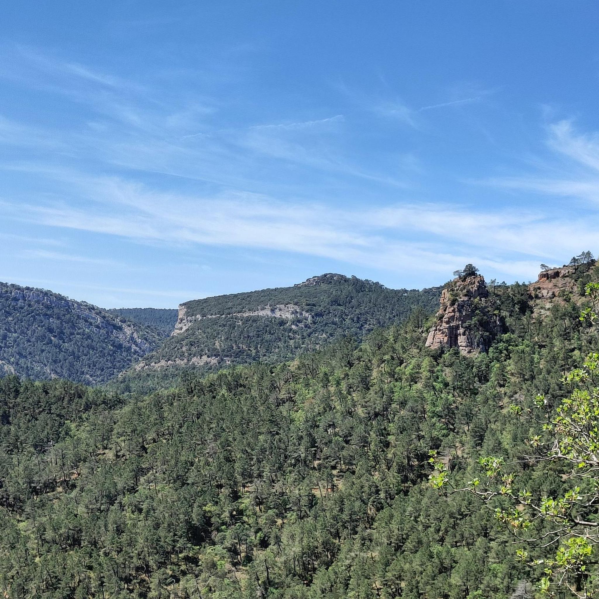
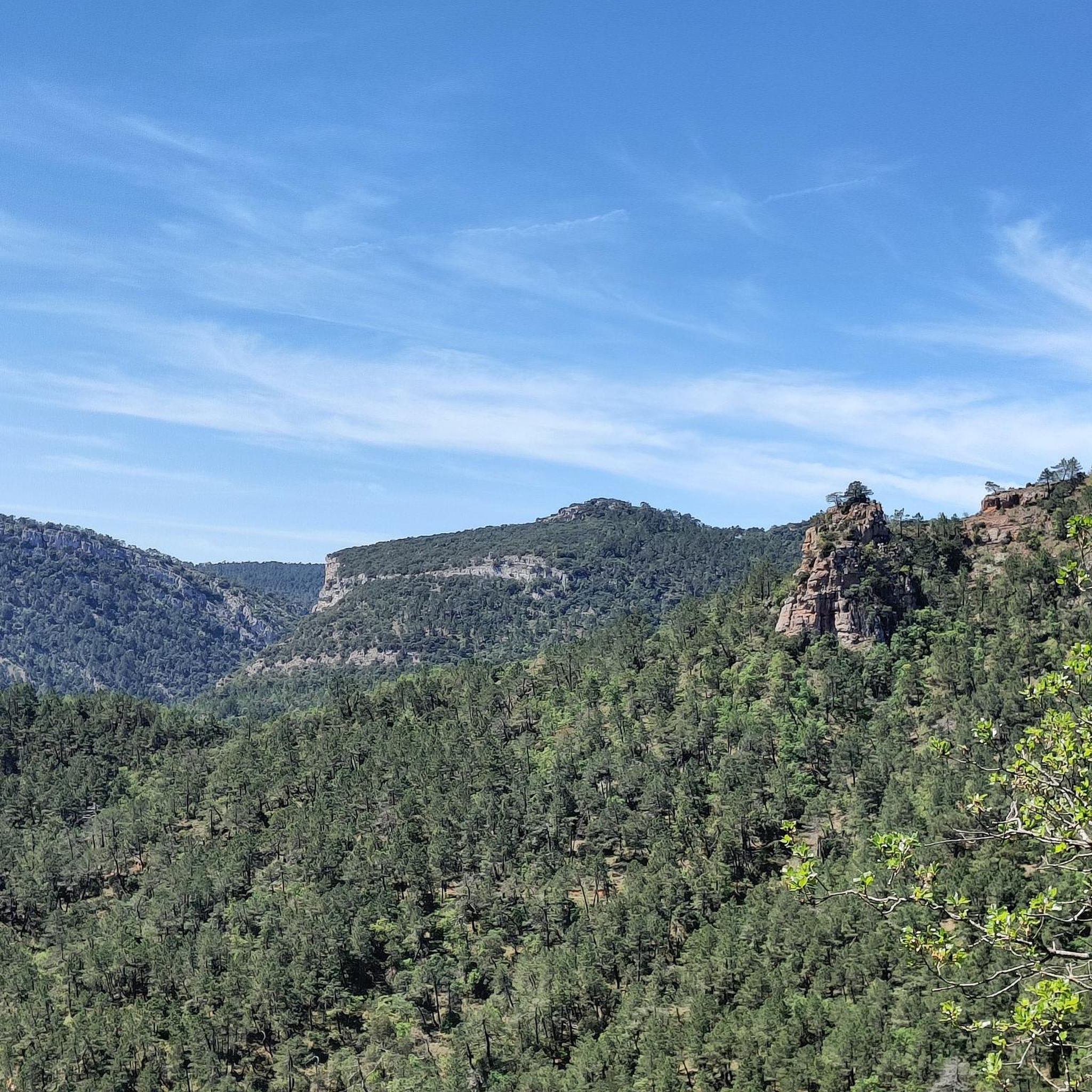
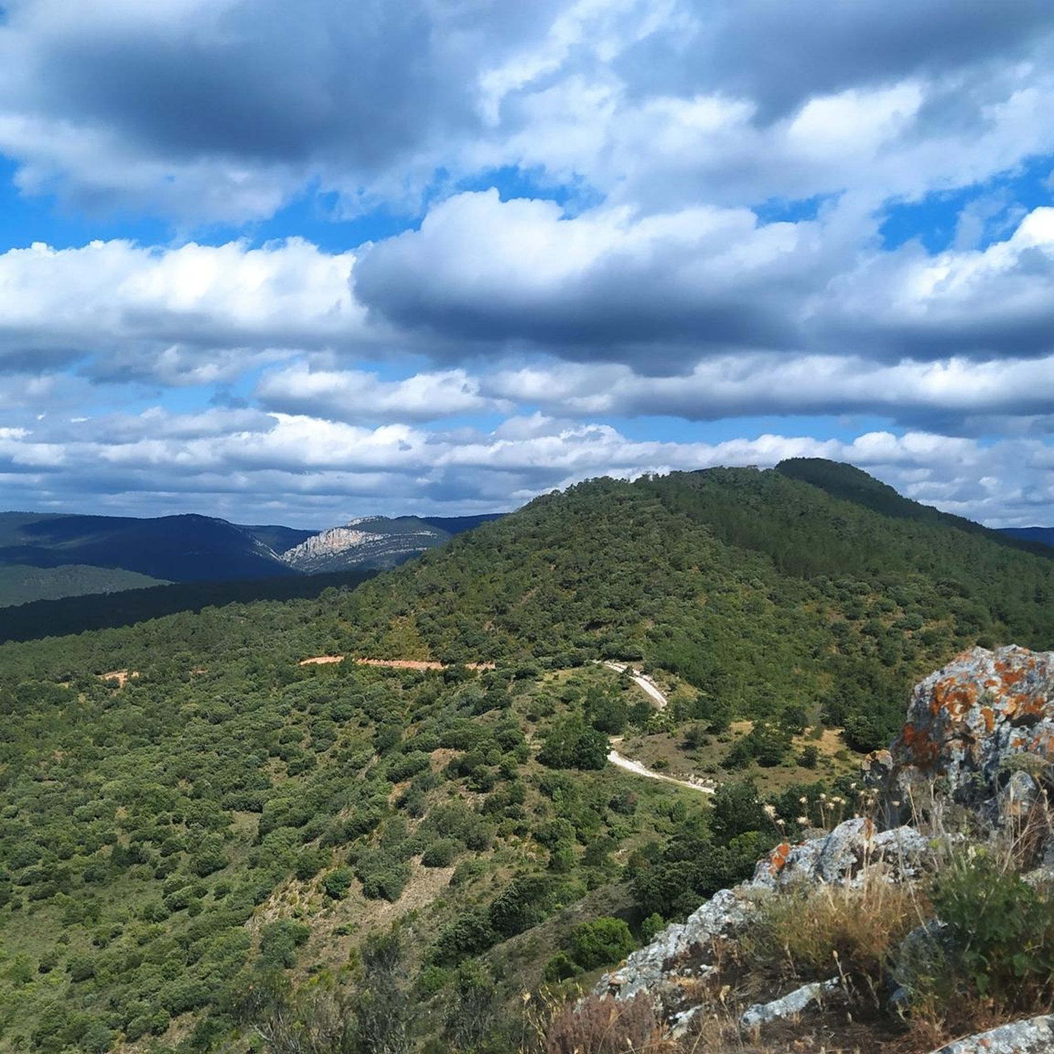
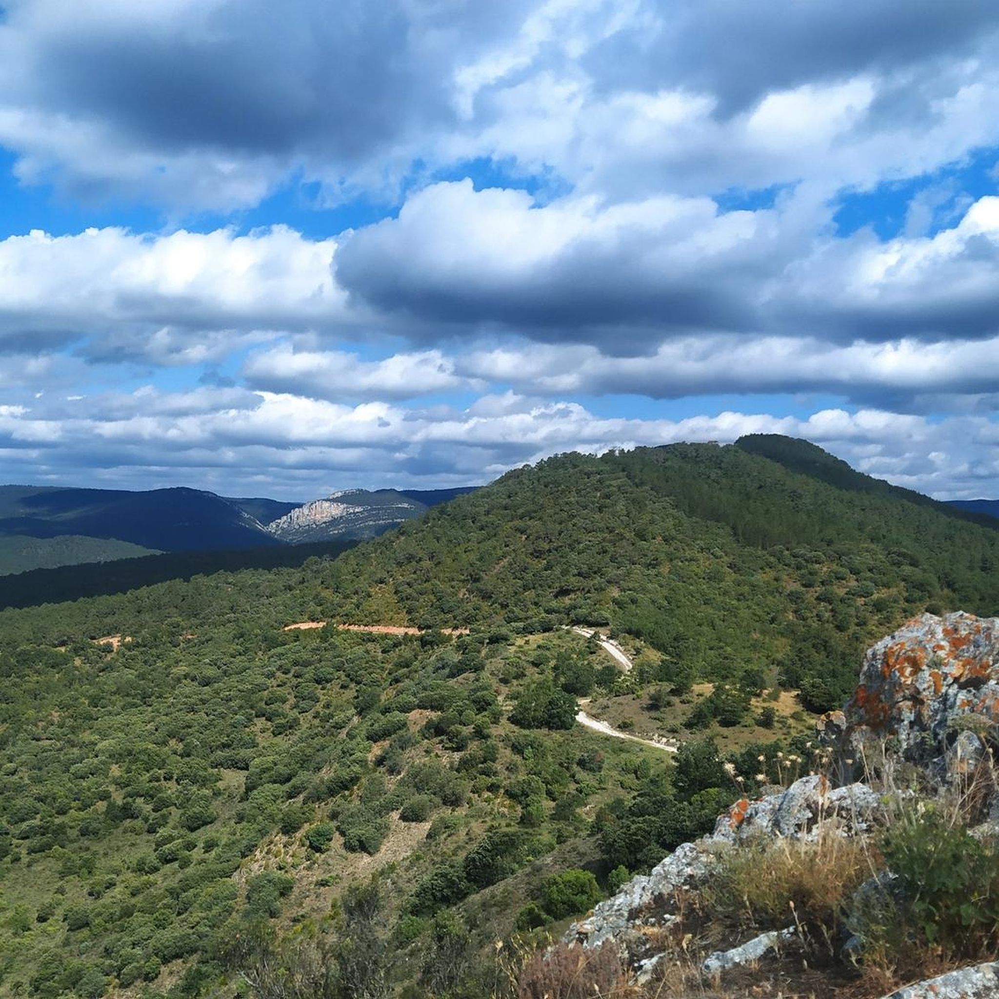
Hiking around Aguas Cándidas offers a diverse landscape for outdoor exploration. The region features a mix of moderate hills and valleys, with routes often traversing through woodlands and open countryside. Water features, such as the CascadaDeLaHuevera, are present, adding to the varied terrain. Hikers can expect paths that lead to viewpoints and connect small villages.
Best hiking trails around Aguas Cándidas
- The most popular hiking route is Goblins' Trail, a 4.4 miles (7.0 km) trail that takes 2 hours…
Last updated: July 1, 2026
5.0
(6)
29
hikers
7.01km
02:23
350m
340m
Moderate hike. Good fitness required. Easily-accessible paths. Suitable for all skill levels.
5.0
(3)
9
hikers
8.47km
02:59
480m
480m
Moderate hike. Good fitness required. Mostly accessible paths. Sure-footedness required.

Sign up for free
5.0
(2)
10
hikers
10.7km
03:15
360m
360m
Moderate hike. Good fitness required. Easily-accessible paths. Suitable for all skill levels.
6
hikers
18.3km
06:26
1,000m
1,000m
Hard hike. Very good fitness required. Easily-accessible paths. Suitable for all skill levels.
6
hikers
9.99km
02:45
160m
160m
Moderate hike. Good fitness required. Easily-accessible paths. Suitable for all skill levels.
Get access to more routes and recommendations from other explorers.
Sign up for free
Already have an account?
Our route recommendations are based on thousands of hikes, rides, and runs completed by other people on komoot.
Start today with a free account
Your next adventure awaits.
Login or Signup

Tips from the Community

A nice area for activities.
0
0

Impressive church on a small hill.
3
0
Perhaps the name for this small pool is a little pretentious...
5
0
Small image of the Virgin in a hollow in the rock.
5
0
A rock watchtower pass to see in 360 degrees, a haven of peace.
5
0
Curious name and interesting place to stop and contemplate the landscape.
5
0
A beautiful environment and a small adventure climbing the stairs, helped by ropes and chains. The pity is that it was completely dry.
5
0
Splendid place to grow up and be as it was.
2
0
Frequently Asked Questions
How many hiking trails are available around Aguas Cándidas?
There are over 50 hiking routes in the Aguas Cándidas region, catering to various skill levels. This includes 10 easy routes, 39 moderate routes, and 6 difficult trails for more experienced hikers.
Are there any easy or beginner-friendly hikes in Aguas Cándidas?
Yes, Aguas Cándidas offers 10 easy routes perfect for beginners or those looking for a relaxed walk. These trails typically feature gentler terrain and shorter distances, allowing for an enjoyable introduction to the region's natural beauty.
Are there any circular walks in Aguas Cándidas?
Yes, many trails in Aguas Cándidas are designed as circular routes, allowing you to start and end at the same point. An example is the San Mamés Mártir Church – CascadaDeLaHuevera loop from Padrones de Bureba, which is a moderate 6.9-mile (11.0 km) trail.
What are the best times of year to go hiking in Aguas Cándidas?
The best times to hike in Aguas Cándidas are generally spring and autumn, when the weather is mild and the landscapes are vibrant. Summer offers warmer temperatures, ideal for early morning or late afternoon hikes, while winter can be beautiful but may require appropriate gear for colder conditions.
Are there any waterfalls to see on hikes in Aguas Cándidas?
Yes, the region features beautiful water features. You can find a waterfall along the San Mamés Mártir Church – CascadaDeLaHuevera loop from Padrones de Bureba. Additionally, the Tartalés de los Montes Waterfall is a notable highlight in the wider area.
What kind of wildlife can I expect to see while hiking in Aguas Cándidas?
Aguas Cándidas, with its woodlands and open countryside, provides opportunities for wildlife spotting. Hikers might encounter various bird species, small mammals, and local flora. Early mornings or late afternoons are often the best times for observing wildlife.
What do other hikers enjoy most about the trails in Aguas Cándidas?
The trails in Aguas Cándidas are highly rated by the komoot community, with an average score of 4.8 stars from over 50 reviews. Reviewers often praise the varied terrain, scenic viewpoints, and the peaceful atmosphere of the woodlands and rural landscapes.
Are there any family-friendly hiking options in Aguas Cándidas?
Yes, with 10 easy routes available, Aguas Cándidas offers several family-friendly options. These trails are typically shorter and have less elevation gain, making them suitable for children and those looking for a more relaxed outing. Consider the shorter sections of the Goblins' Trail for a moderate, engaging experience.
What are some interesting places to explore near the hiking trails?
Beyond the trails, you can explore several historical and natural attractions. Consider visiting the Oña Historic Center or the Poza de la Sal Salt Flats and Old Railway Station. For nature lovers, the Santander–Mediterranean Railway Greenway: Oña Gorge and Tunnels offers a unique experience.
Are there any challenging hikes for experienced trekkers?
Yes, for experienced trekkers, Aguas Cándidas offers 6 difficult routes. A notable challenging option is the Coronilla Summit (1,172 m) – Peña Escalera Viewpoint loop from Panizares, which covers 11.3 miles (18.2 km) with significant elevation gain, providing expansive views.
Are there options for longer hikes in the region?
Yes, if you're looking for longer hikes, Aguas Cándidas has several routes that extend beyond a few hours. The Coronilla Summit (1,172 m) – Peña Escalera Viewpoint loop from Panizares is a difficult 11.3-mile (18.2 km) trail, offering a full day's adventure.
Are there any trails that pass through villages or offer amenities like cafes?
While specific cafes on trails are not always guaranteed, many routes in Aguas Cándidas connect small villages. For example, the FuenteBuena – Iglesia Santa Maria loop from Salas de Bureba starts and ends in Salas de Bureba, where you might find local amenities. Planning your route through these settlements can offer opportunities for refreshments.
Most popular routes around Aguas Cándidas
Most popular attractions around Aguas Cándidas

Get inspired with the komoot mobile app


Explore more
Browse the best Hikes in other regions.
