The 6 Most Amazing Peaks around Monterotondo Marittimo
Mountain peaks around Monterotondo Marittimo are characterized by the unique geothermal activity and hilly terrain of the Metalliferous Hills in Tuscany, Italy. This region offers a distinctive landscape with features like geysers and fumaroles, particularly visible in the Parco Naturale delle Biancane. The area provides extensive trails for hiking and biking through chestnut woods and Mediterranean shrubland, leading to various viewpoints. Monterotondo Marittimo also features historical elements, including medieval structures, adding a cultural dimension to its natural setting.
Best mountain…
Last updated: June 30, 2026
Trail to the Le Cornate summit
Highlight • Trail
Absolute peace. Surefootedness required.
Translated by Google •
Tip by

Poggio Croce di Prata
Highlight • Summit
Showing Translation
Tip by

Sign up now to discover places like this
Get recommendations on the best single tracks, peaks, & plenty of other exciting outdoor places.
Sign up for free
Poggio di Montieri Summit and La Faggeta Trail
Highlight • Summit
Translated by Google •
Tip by

View of Massa Marittima and the sea from Monte Arsenti
Highlight • Viewpoint
Translated by Google •
Tip by

Monte Calvi summit and panoramic view
Highlight • Summit
Translated by Google •
Tip by
Sign up for free to discover even more peaks around Monterotondo Marittimo.
Sign up for free
Already have an account?
Start today with a free account
Your next adventure awaits.
Login or Signup
Popular around Monterotondo Marittimo
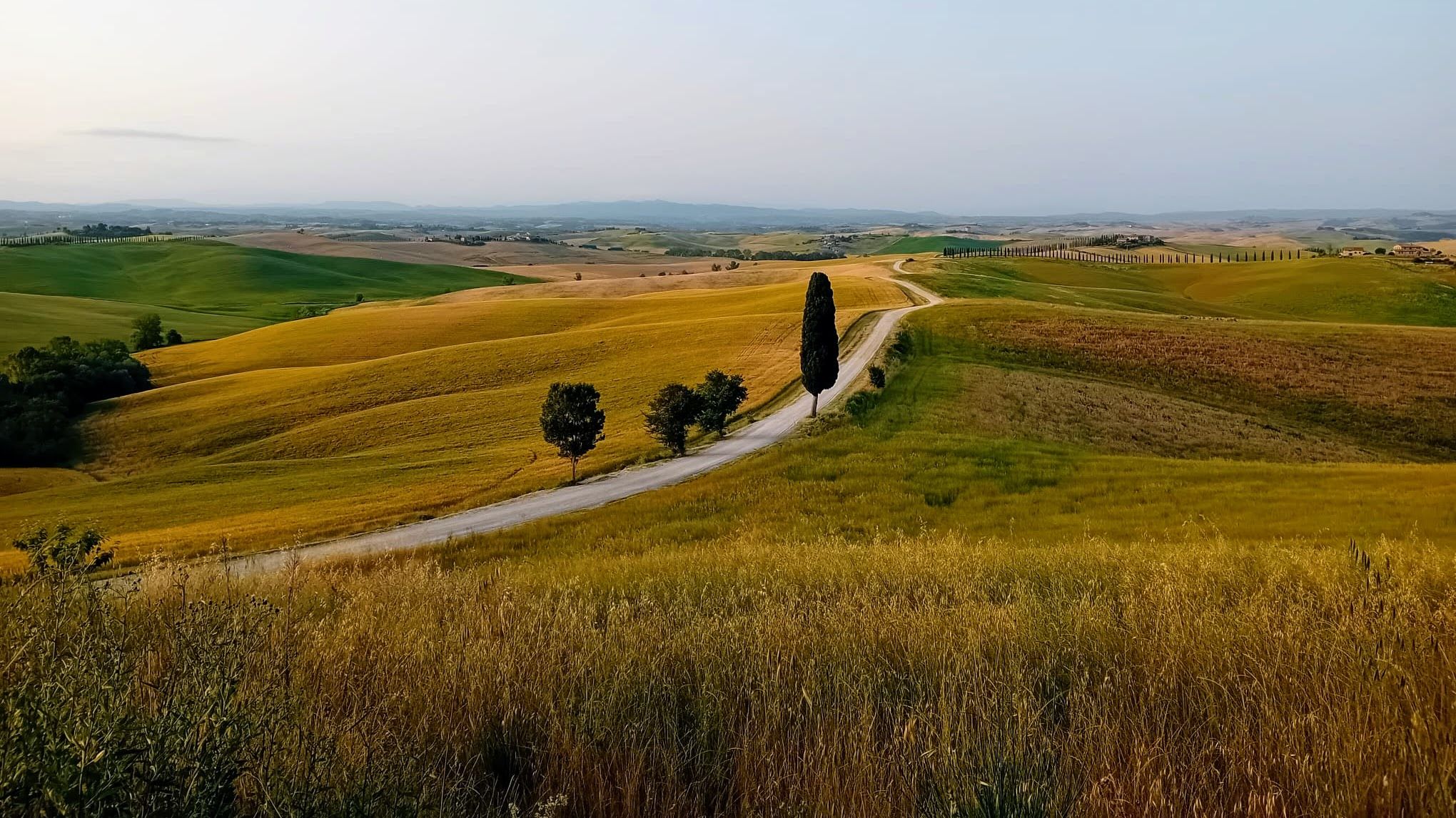
Tuscany by bike – history, cypresses and the Strade Bianche
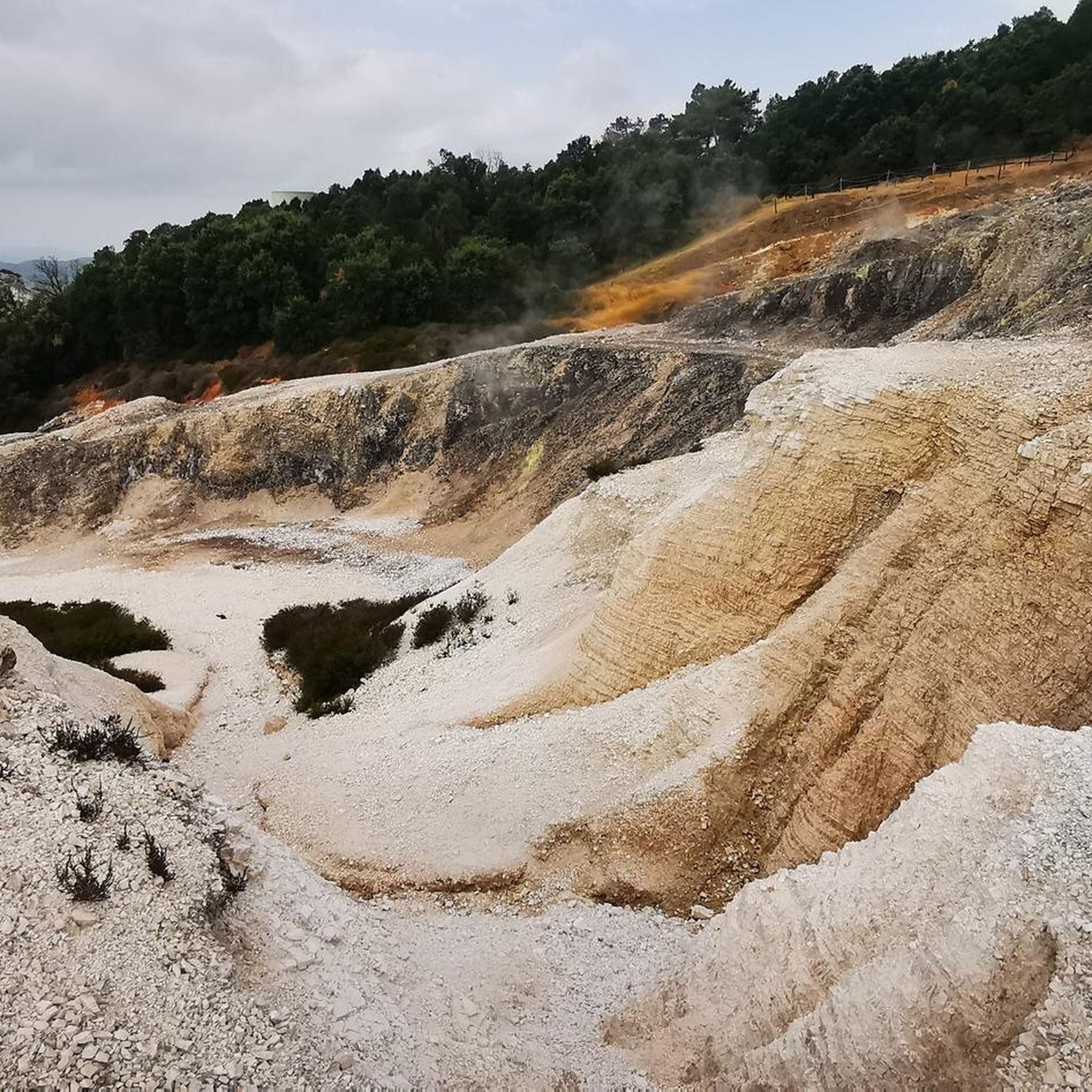
Road Cycling Routes around Monterotondo Marittimo
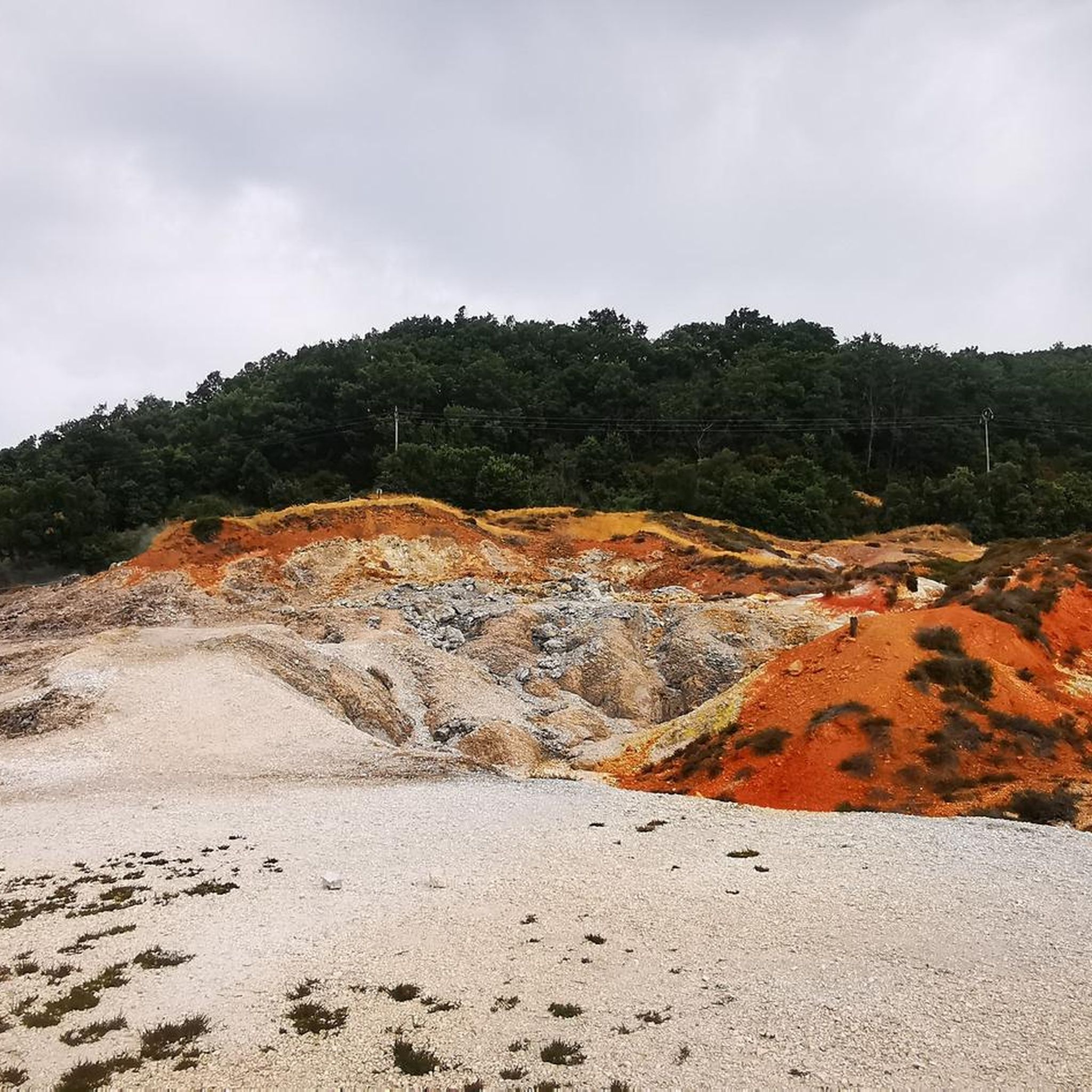
Hiking around Monterotondo Marittimo

Cycling around Monterotondo Marittimo
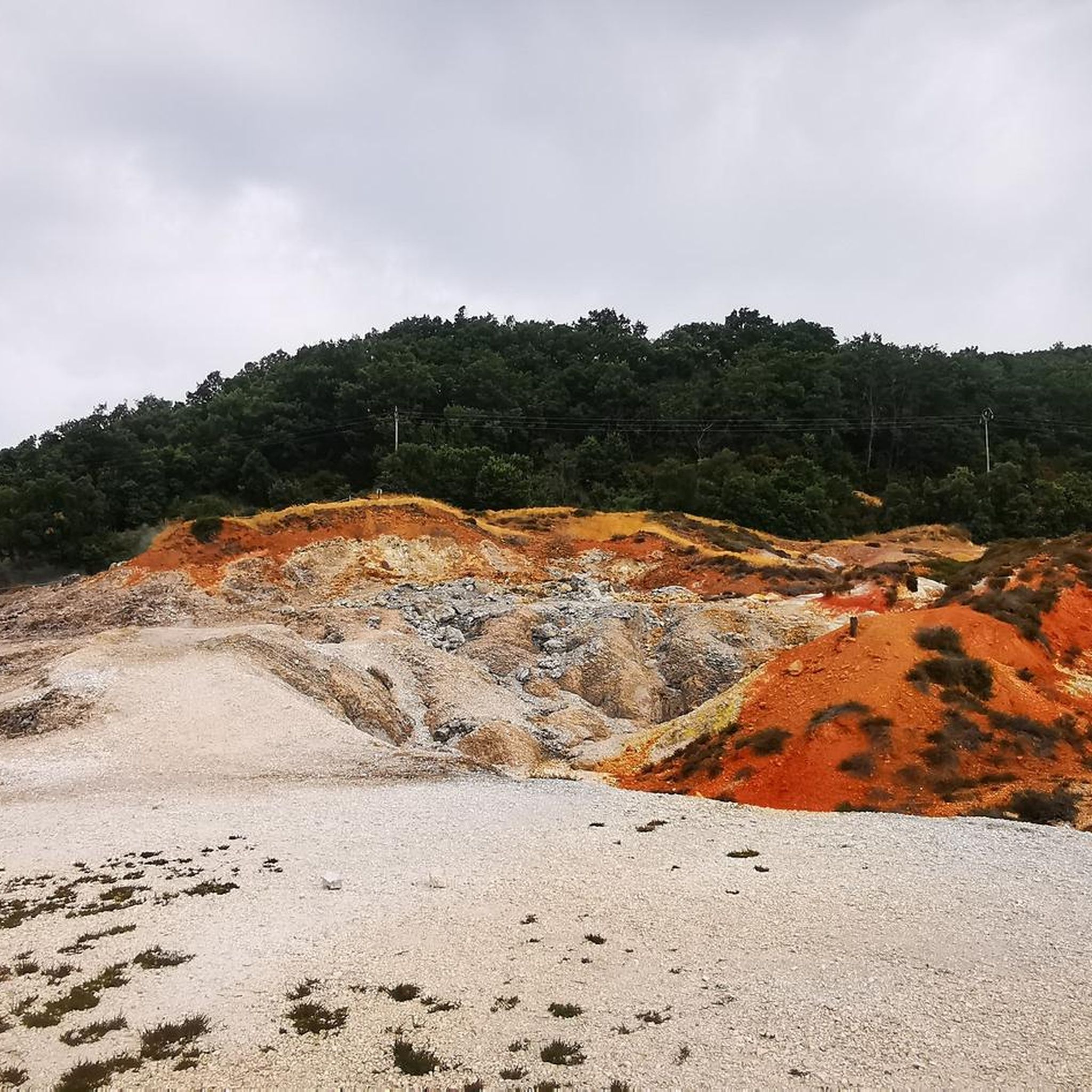
Running Trails around Monterotondo Marittimo
Gravel biking around Monterotondo Marittimo
MTB Trails around Monterotondo Marittimo
Other adventures around Monterotondo Marittimo

Tips from the Community

Le Cornate di Gerfalco (1060-1081 m a.s.l.) represent the highest peak of the Metalliferous Hills in Tuscany, located between the provinces of Grosseto and Siena. They are part of the Cornate and Fosini Nature Reserve and offer a panorama that ranges from the Tuscan Archipelago to Corsica and the Apennines.
0
0
I Poggi di Prata are wide, rounded reliefs of limestone, with grassy summits and slopes largely covered by oak and chestnut woods. They take their name from the village of Prata, which stands on an elongated hill on the southeastern slopes of the hills themselves. There are two main peaks: Il Poggione, which is the highest and most prominent summit, and Poggio Croce di Prata, overlooking the village of the same name.
0
0

A great view towards the sea. Enjoy it once more before heading down.
1
0

Once you arrive at the entrance to the Monte Arsenti trails, it is worth going up to the top a few dozen meters away, from where you can admire a beautiful panorama of the coast.
1
0

Great view from Monte Arsenti towards the southwest. Great place for a rest or a great photo.
1
0
Path towards the trails and the top of Monte Calvi which, after cutting the wood, can all be cycled up to the crossroads of Cima di monte Calvi, Trail and Cancellini.
1
0

Departure of all Monte Arsenti trails
1
0
From the top, where it is only necessary to push the bike in the last 150 m, you can enjoy a wonderful panorama over the whole coast and part of the hinterland.
0
0
Frequently Asked Questions
What unique natural features can I explore around Monterotondo Marittimo?
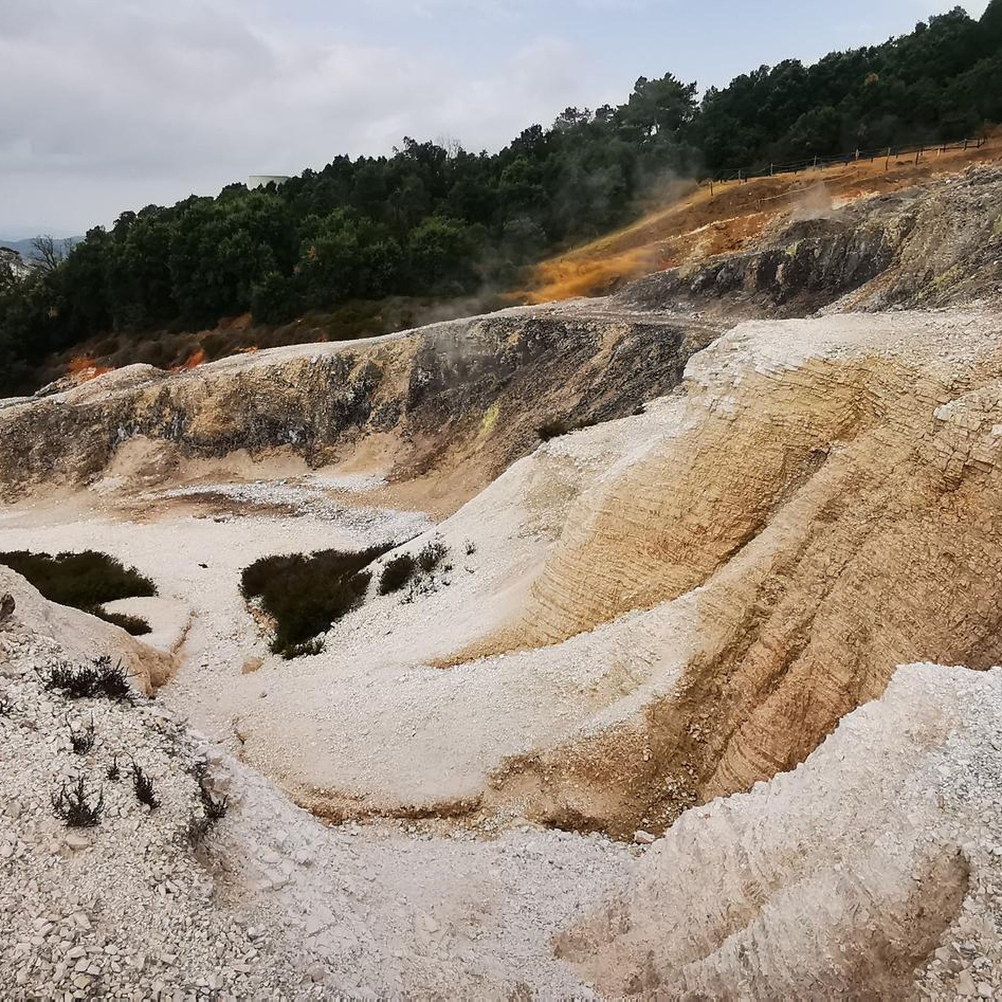
The region is renowned for its significant geothermal activity. You can witness geysers and fumaroles at the Parco Naturale delle Biancane, where steam emerges from the ground, creating a surreal landscape with unusual rock colors due to mineral crystallizations. This area is a prime example of the unique geology of the Metalliferous Hills.
What are some of the most rewarding mountain peaks or elevated spots to visit for views?
For stunning vistas, consider the Monte Calvi summit and panoramic view, which offers expansive views of Grosseto and Punta Ala. Another excellent choice is the Poggio di Montieri Summit and La Faggeta Trail, which is the highest point in the area and rewards visitors with a wonderful view. The Monte Spinosa IGM Survey Marker and Panoramic View also provides spectacular panoramas.
Are there hiking trails suitable for families or those looking for an easier walk?
Yes, the area offers trails for various skill levels. For an easy and unique experience, consider routes like the Natural Lagoon of the Biancane – View of the Steaming Fumaroles loop from Monterotondo Marittimo. This allows families to explore the geothermal landscape without extreme difficulty. Many trails are also dog-friendly, but always check local signage.
What kind of outdoor activities can I do near the mountain peaks of Monterotondo Marittimo?
Beyond hiking, the hilly terrain is crisscrossed with numerous trails perfect for mountain biking and road cycling. You can explore extensive chestnut woods and Mediterranean shrubland. For specific cycling routes, check out the Road Cycling Routes around Monterotondo Marittimo or Cycling around Monterotondo Marittimo guides for detailed options.
What is the best time of year to visit the mountain peaks and geothermal areas?
The spring and autumn months are generally ideal for visiting. The weather is milder, making hiking and exploring the geothermal areas more comfortable. In spring, the landscape is lush and green, while autumn offers pleasant temperatures and beautiful fall colors. Summer can be quite hot, especially in the open geothermal areas.
Can I find historical or cultural sites while exploring the mountainous region?
Absolutely. Monterotondo Marittimo itself is a medieval town with a rich history. As you explore the natural landscape, you'll find ancient ruins, medieval walls, and the Rocca degli Alberti fortress, adding a cultural dimension to your visit. The Biancane Geomuseum also provides historical context on the region's geothermal energy exploitation.
Are there any challenging hiking trails for experienced trekkers?
Yes, for those seeking a more challenging experience, the region offers trails with intermediate difficulty. The Trail to the Le Cornate summit requires surefootedness, and the ascent to Monte Calvi summit can be demanding but offers great rewards. Many routes in the Hiking around Monterotondo Marittimo guide are rated moderate, providing a good challenge.
What do visitors enjoy most about the mountain peaks and trails around Monterotondo Marittimo?
Visitors frequently highlight the unique geothermal landscape, especially the steaming fumaroles and colorful rock formations at Le Biancane. The panoramic views from summits like Monte Calvi and Poggio di Montieri are also highly praised. Many appreciate the absolute peace found on trails and the opportunity to combine nature exploration with historical discovery.
Is public transport available to reach the hiking areas or Biancane Nature Park?
While Monterotondo Marittimo is accessible, public transport options directly to specific trailheads or the more remote parts of the Biancane Nature Park can be limited. It's often recommended to have a car for greater flexibility in exploring the various hiking and geothermal sites. Always check local transport schedules if relying on public options.
Are there specific permits required for hiking in the Biancane Nature Park or other areas?
Generally, no specific permits are required for hiking on the established trails within the Biancane Nature Park or the broader Metalliferous Hills. However, it's always good practice to respect local regulations, stay on marked paths, and be mindful of private property. There are no fees for entry to the natural park itself.
What should I wear for hiking in the Monterotondo Marittimo region?
Given the varied terrain and potential for geothermal activity, it's advisable to wear sturdy, comfortable hiking shoes or boots. Layered clothing is recommended as temperatures can change, especially when ascending. Don't forget sun protection, a hat, and plenty of water, particularly during warmer months. For geothermal areas, closed-toe shoes are a must.
Most popular routes around Monterotondo Marittimo
Most popular attractions around Monterotondo Marittimo

Get inspired with the komoot mobile app


Explore more
See even more amazing summits around Monterotondo Marittimo with these guides:
