Top 8 Gorges in Sierra Norte De Guadalajara
Best canyons in Sierra Norte de Guadalajara are found within a mountainous region in Spain, characterized by impressive natural landscapes. The area features canyons carved by rivers, notably within the Barranco del Río Dulce Natural Park and the Alto Tajo Natural Park. This region offers diverse geological formations, lush vegetation, and rich fauna, making it a significant natural area. The terrain includes river valleys, extensive canyon systems, and unique hillside formations.
Best canyons in Sierra Norte de Guadalajara
- The most…
Last updated: July 13, 2026
Aljibe Waterfall
Highlight • Waterfall
Translated by Google •
Tip by

Cañada de la Caleriza Trail
Highlight (Segment) • Trail
Translated by Google •
Tip by

Sign up now to discover places like this
Get recommendations on the best single tracks, peaks, & plenty of other exciting outdoor places.
Sign up for free
Las Cárcavas - Pontón de la Oliva
Highlight • Gorge
Translated by Google •
Tip by

Hoces del Jarama
Highlight • Gorge
Translated by Google •
Tip by
Close-up view of Las Cárcavas del Monte Guadarrama
Highlight • Gorge
Translated by Google •
Tip by
Sign up for free to discover even more gorges in Sierra Norte De Guadalajara.
Sign up for free
Already have an account?
Start today with a free account
Your next adventure awaits.
Login or Signup
Popular around Sierra Norte De Guadalajara
Unexpectedly wild – Jarama on a gravel bike

The Black Towns – Sierra Norte de Guadalajara on foot (GR 60)
Hiking in Sierra Norte De Guadalajara
Running Trails in Sierra Norte De Guadalajara
Road Cycling Routes in Sierra Norte De Guadalajara
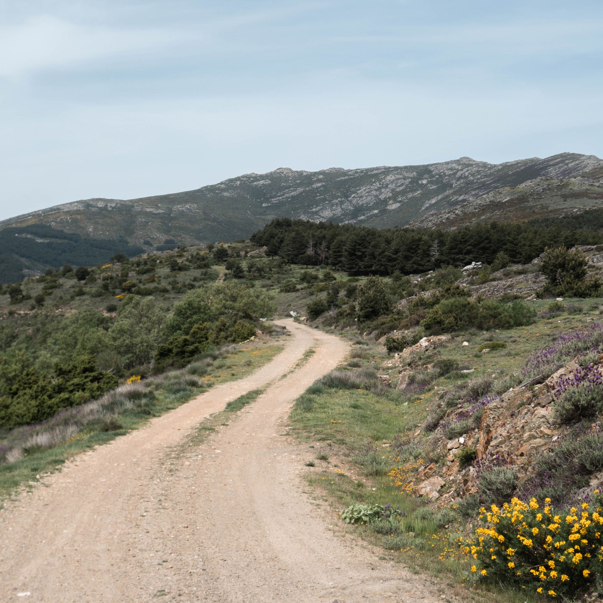
MTB Trails in Sierra Norte De Guadalajara
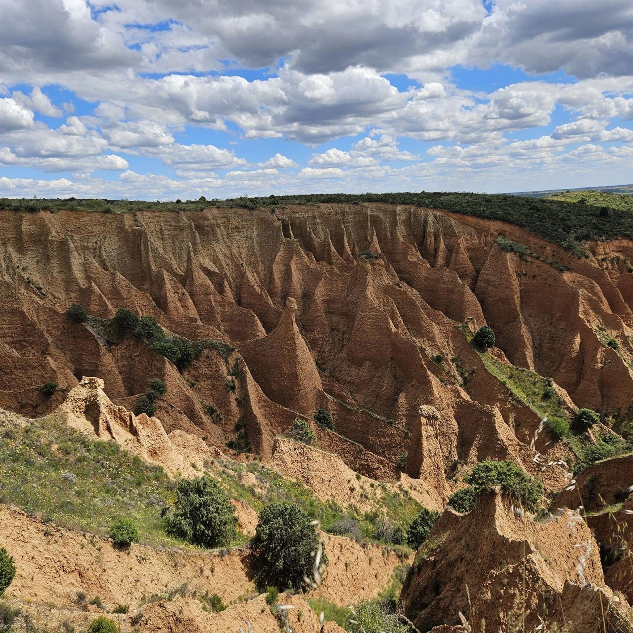
Cycling in Sierra Norte De Guadalajara
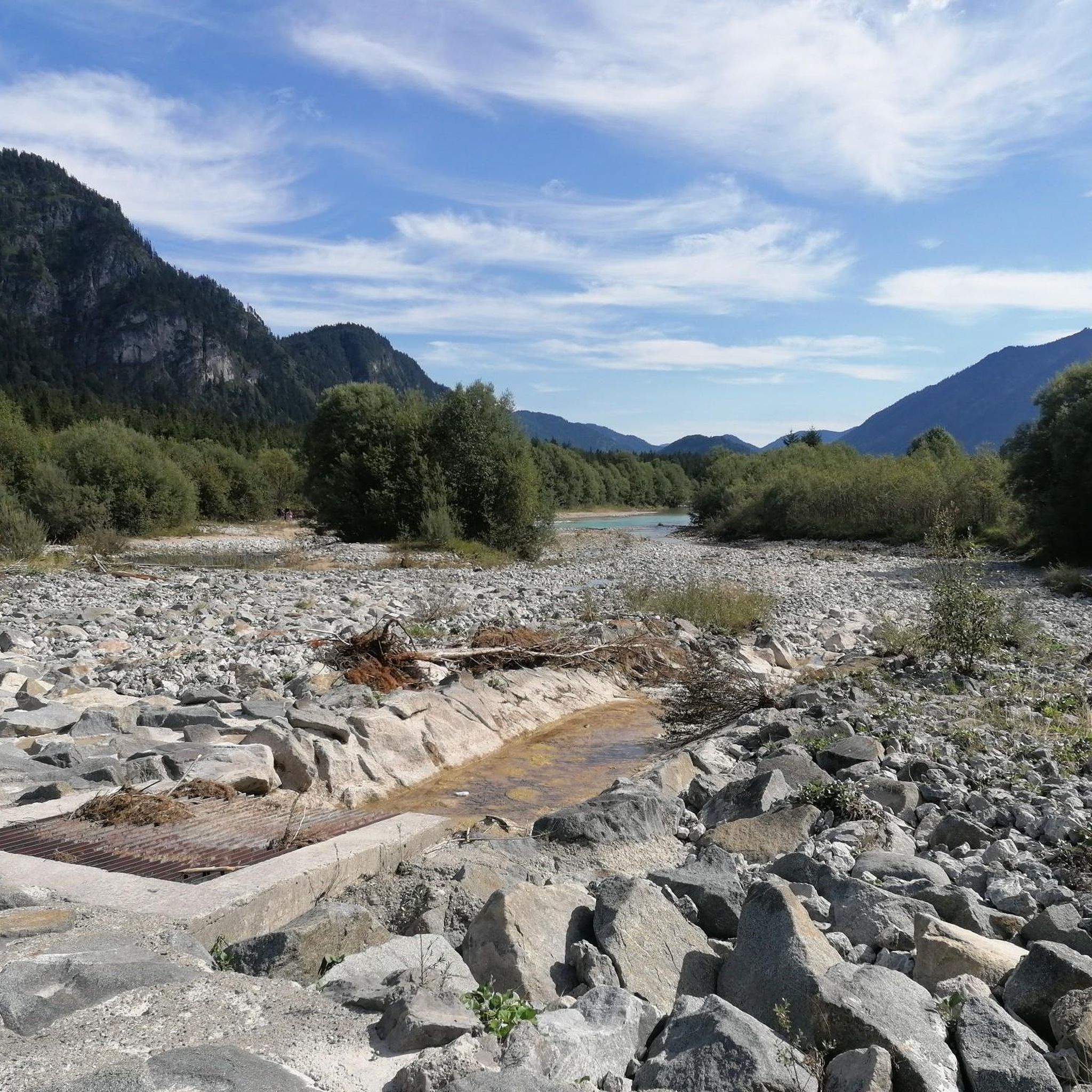
Gravel biking in Sierra Norte De Guadalajara
Other adventures in Sierra Norte De Guadalajara


Tips from the Community

Although its access is steep and difficult, the Aljibe Waterfall is a popular place for hiking lovers. The path that leads to it offers spectacular views and is part of the Aljibe Waterfall Route. For long stretches, the trail runs close to the ravine without side protection, so caution should be taken.
3
0

A good mid-hill path allows you to enjoy the Hoces from El Monasterio de Bonaval to the Medieval Bridge of Valdesotos. In the Caves of the walls, there is a lot of history and prehistory.
1
0
Visit them when the Arroyo del Soto carries a lot of water.
1
0

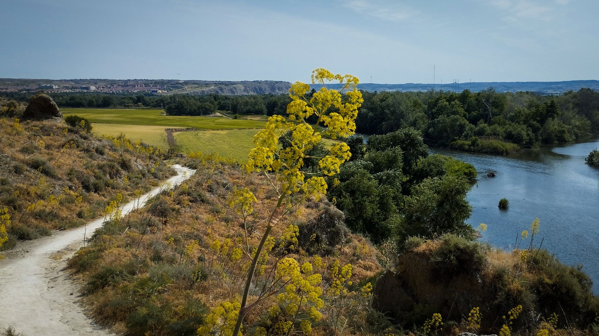
The Cañada de la Caleriza is a winding path that runs along the banks of the Lozoya River. This section coincides with the beginning of the GR 88, which runs through the provinces of Madrid, Segovia and Guadalajara. The Lozoya is a tributary of the Jarama along whose 91-kilometer route six reservoirs have been built.
2
0

Nice waterfall with pool 2 pools that have the same name. It is recommended to come and see them after a rainy episode.
1
1
Path along the Loyaza river
2
1

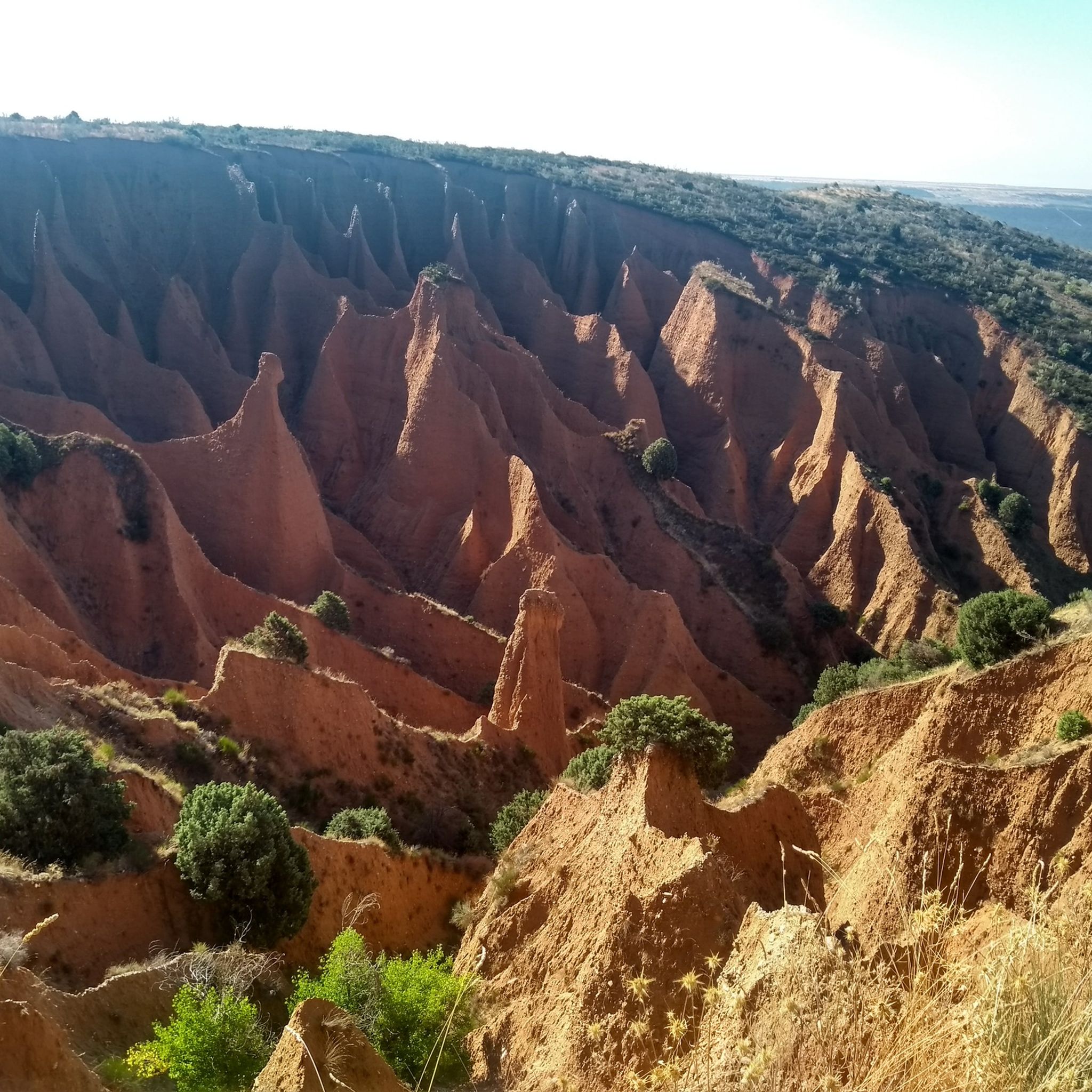
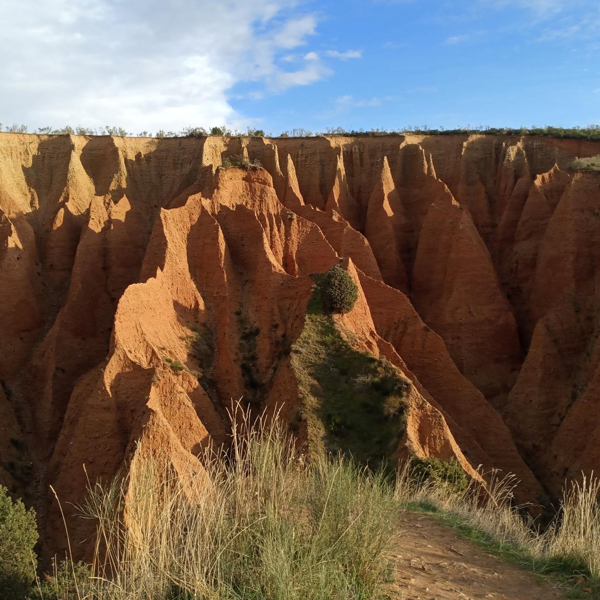
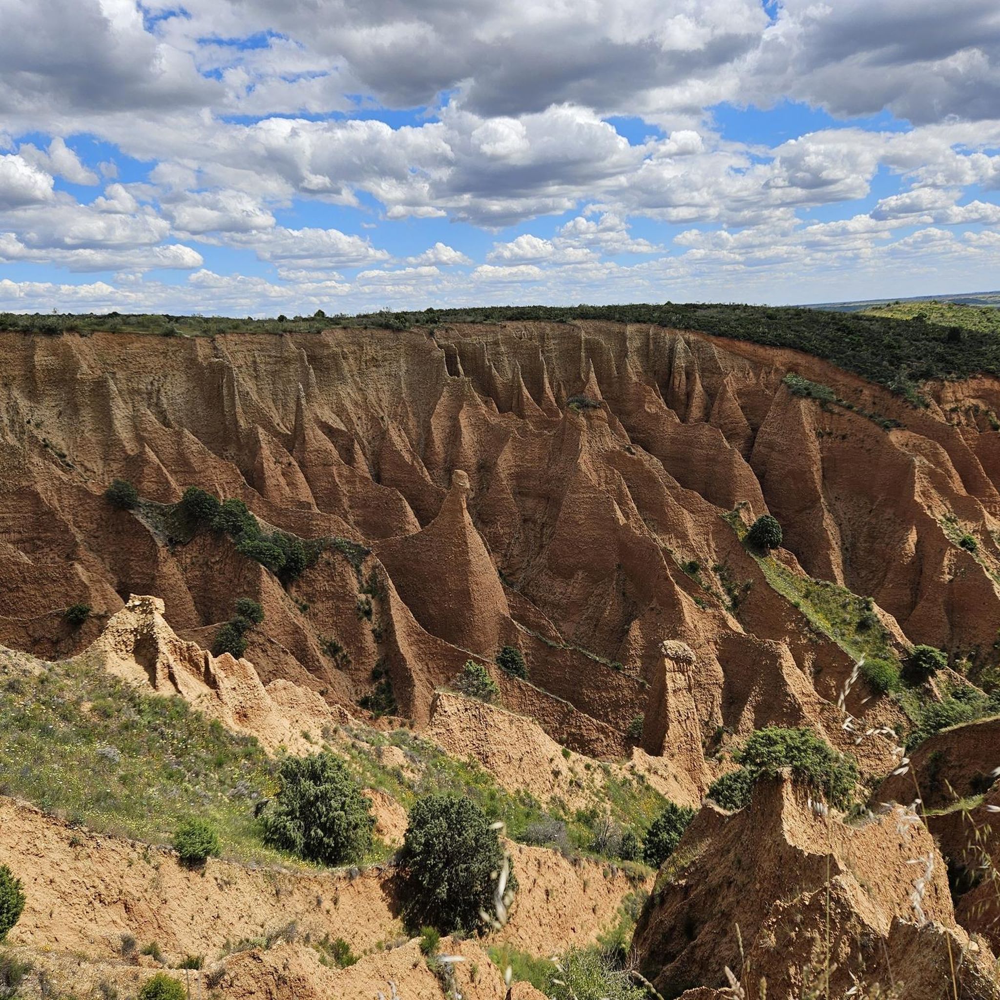
This Martian landscape has been caused by strong water erosion on the clayey slope, forming these ditches that make up a science fiction landscape. It is also beautiful because of the surrounding environment, be careful and respect the signs, there are paths where it is forbidden to ride a bike so you will have to get off it.
2
0

There are no railings, home one is responsible for their safety
1
0
Frequently Asked Questions
What kind of geological formations can I expect to see in the canyons of Sierra Norte de Guadalajara?
The region is known for diverse geological formations. You'll find impressive fluvial erosion creating vertical escarpments in limestone rock, displaying striking orange and grey hues, especially in Barranco del Río Dulce Natural Park. Alto Tajo Natural Park features unique hillside formations like "cuchillos" (knives), "agujas" (needles), and "monolitos" (monoliths). Additionally, areas like Las Cárcavas del Monte Guadarrama and Las Cárcavas - Pontón de la Oliva showcase gullies and sinkholes formed by rainwater erosion on clayey slopes, creating a distinctive, almost Martian landscape.
Are there any notable waterfalls in the canyons of Sierra Norte de Guadalajara?
Yes, the region features beautiful waterfalls. The Barranco del Río Dulce Natural Park is home to the Gollorio Waterfall, a 50-meter high cascade best seen from autumn to spring. Another significant waterfall is Aljibe Waterfall, which, despite its steep access, offers spectacular views and is a popular spot for hikers, especially after rainy periods.
What wildlife can be observed in the canyon areas of Sierra Norte de Guadalajara?
The canyons are rich in biodiversity. Barranco del Río Dulce Natural Park is a protected area for birds, including vultures, eagles, and falcons. Mammals like martens, badgers, genets, wildcats, otters, and water shrews also inhabit the area. Alto Tajo Natural Park is a haven for diverse flora and fauna, supporting a significant population of birds of prey such as golden eagles, Egyptian vultures, griffon vultures, and peregrine falcons. Its pristine rivers host otters and various fish species.
What are the main natural parks featuring canyons in Sierra Norte de Guadalajara?
The two most significant natural parks featuring impressive canyons in Sierra Norte de Guadalajara are the Barranco del Río Dulce Natural Park and the Alto Tajo Natural Park. Both offer extensive networks of gorges and unique geological formations carved by rivers like the Dulce and Tagus.
Are there family-friendly hiking options in the canyons of Sierra Norte de Guadalajara?
While some canyon areas involve challenging terrain, there are options suitable for families. Barranco del Río Dulce Natural Park offers several well-marked routes, including a circular path from Pelegrina village that follows the Dulce River and passes the Gollorio Waterfall, which can be enjoyed by families. For more general hiking options, you can explore the hiking guide for Sierra Norte de Guadalajara.
What is the best time of year to visit the canyons in Sierra Norte de Guadalajara?
The best time to visit the canyons for hiking and nature appreciation is generally from autumn to spring, when the Gollorio Waterfall in Barranco del Río Dulce is particularly visible and the weather is milder. Spring also brings lush vegetation and good conditions for observing wildlife. Summer can be very hot, making early mornings or late afternoons preferable for activities.
What kind of hiking trails can I find near the canyons?
You'll find a variety of hiking trails. For instance, the Cañada de la Caleriza Trail is a winding path along the Lozoya River, coinciding with the beginning of the GR 88. The area around Hoces del Jarama offers a mid-hill path between the Bonaval Monastery and the Medieval Bridge of Valdesotos. For more options, check out the hiking guide for Sierra Norte de Guadalajara, which includes routes like the Jarama Trails Loop and the Aljibe Waterfall and Trillos Bridge circular.
Are there opportunities for canyoning in Sierra Norte de Guadalajara?
Yes, Alto Tajo Natural Park is an excellent destination for active tourism, including canyoning. Towns like Poveda de la Sierra within the park offer canyoning descents, highlighting the park's appeal for adventure sports. It's advisable to check with local visitor centers or adventure tour operators for specific routes and permit requirements.
What historical or cultural sites are near the canyon areas?
The region combines natural beauty with cultural heritage. The Barranco del Río Dulce Natural Park is near the medieval town of Sigüenza, allowing visitors to combine nature with cultural exploration. The area around Uceda offers views over the Jarama River valley and features the town of Uceda itself, with its rich history, ancient walls, and castle remains. The Hoces del Jarama is located between the Cistercian Monastery of Bonaval and the Medieval Bridge of Valdesotos, with caves in the walls holding historical and prehistoric significance.
What do visitors enjoy most about the canyons in Sierra Norte de Guadalajara?
Visitors particularly enjoy the spectacular views and unique natural formations. The challenging access to places like Aljibe Waterfall is often cited as rewarding. The 'Martian landscape' of Las Cárcavas - Pontón de la Oliva is also highly appreciated for its incredible natural formations. The overall scenic beauty, diverse wildlife, and the opportunity for immersive nature experiences are frequently highlighted.
Are there mountain biking trails near the canyons?
Yes, the Sierra Norte de Guadalajara region offers mountain biking opportunities. You can find various routes, including the Senda del Genaro - Cerro Negro Loop, and trails around Tamajón and the Hayedo Tejera Negra Natural Park. For detailed routes and difficulty levels, refer to the MTB Trails guide for Sierra Norte de Guadalajara.
Where can I find panoramic views of the canyons?
Several viewpoints offer stunning panoramic views. In Barranco del Río Dulce Natural Park, the Félix Rodríguez de la Fuente Viewpoint provides expansive views of the gorge, its rocky walls, and wildlife, including griffon vultures. Areas around Uceda also offer impressive views over the Jarama River valley. Many hiking trails, such as those leading to Aljibe Waterfall, are noted for their spectacular vistas along the path.
Most popular routes in Sierra Norte De Guadalajara
Most popular attractions in Sierra Norte De Guadalajara

Get inspired with the komoot mobile app


Explore more
Already discovered everything in this region? See additional gorges in Sierra Norte De Guadalajara for your next adventure:
