The best walks and hikes in Sierra Norte De Guadalajara
4.6
(973)
6,969
hikers
116
hikes
Hiking trails in Sierra Norte de Guadalajara traverse a rugged landscape where the Central System meets the Iberian System, featuring diverse mountain ranges like Ayllón and Pela. The region is characterized by geological formations of slate, quartzite, and gneiss, carving out distinctive ridges, valleys, and fluvial canyons. Hikers can explore varied ecosystems, including ancient beech, oak, and pine forests, alongside significant rivers such as the Jaramilla and Jarama. Prominent peaks like Pico Ocejón offer challenging ascents and expansive views across…
Last updated: October 10, 2026
5.0
(5)
43
hikers
16.3km
04:40
370m
370m
Hike a moderate 10.1-mile (16.3 km) circular route from Pontón de la Oliva to Presa de la Parra, exploring river views and limestone cliffs.
4.3
(4)
47
hikers
Hard hike. Very good fitness required. Mostly accessible paths. Sure-footedness required.

4.9
(10)
64
hikers
10.6km
03:28
160m
160m
Moderate hike. Good fitness required. Mostly accessible paths. Sure-footedness required.
4.7
(3)
4
hikers
Moderate hike. Good fitness required. Mostly accessible paths. Sure-footedness required.
4.5
(2)
15
hikers
Moderate hike. Good fitness required. Mostly accessible paths. Sure-footedness required.
Get access to more routes and recommendations from other explorers.
Already have an account?
Our route recommendations are based on thousands of hikes, rides, and runs completed by other people on komoot.
Start today with a free account
Your next adventure awaits.
Popular around Sierra Norte De Guadalajara

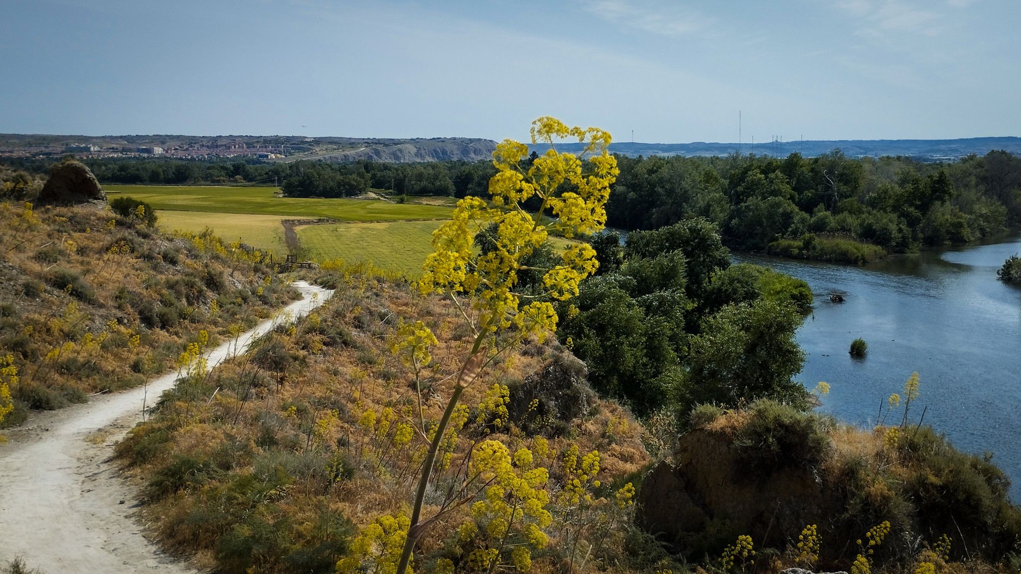
The Black Towns – Sierra Norte de Guadalajara on foot (GR 60)
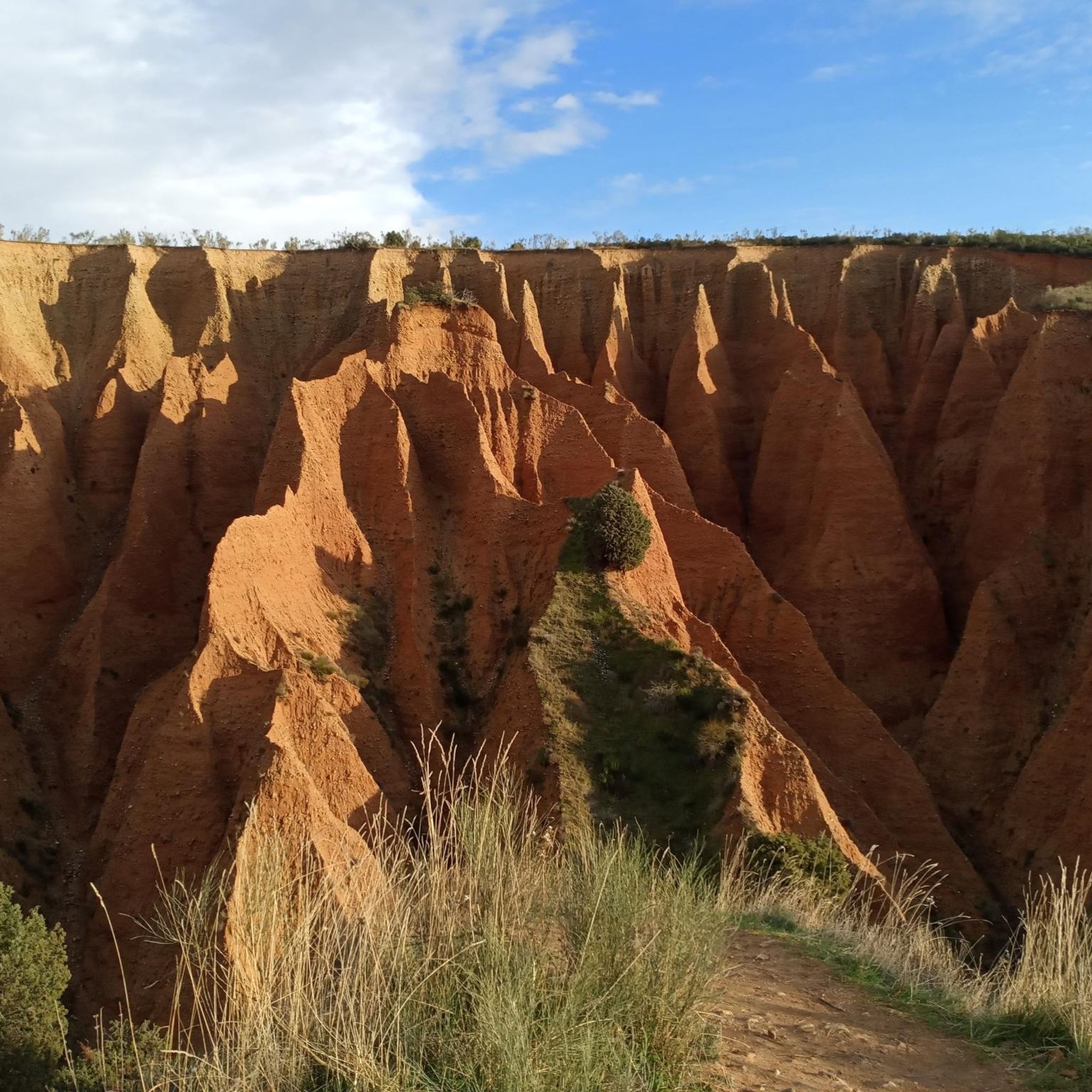
Unexpectedly wild – Jarama on a gravel bike
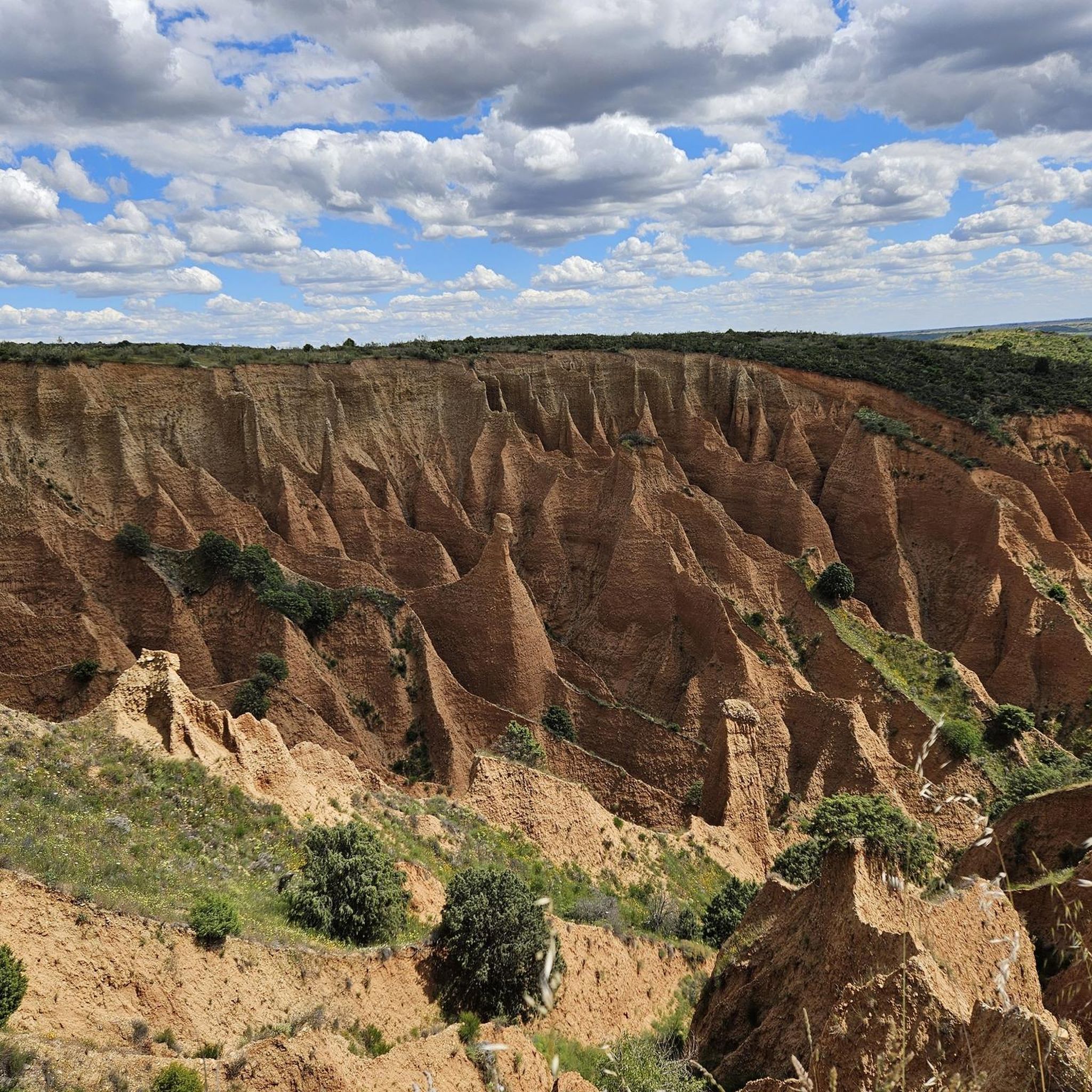
Running Trails in Sierra Norte De Guadalajara
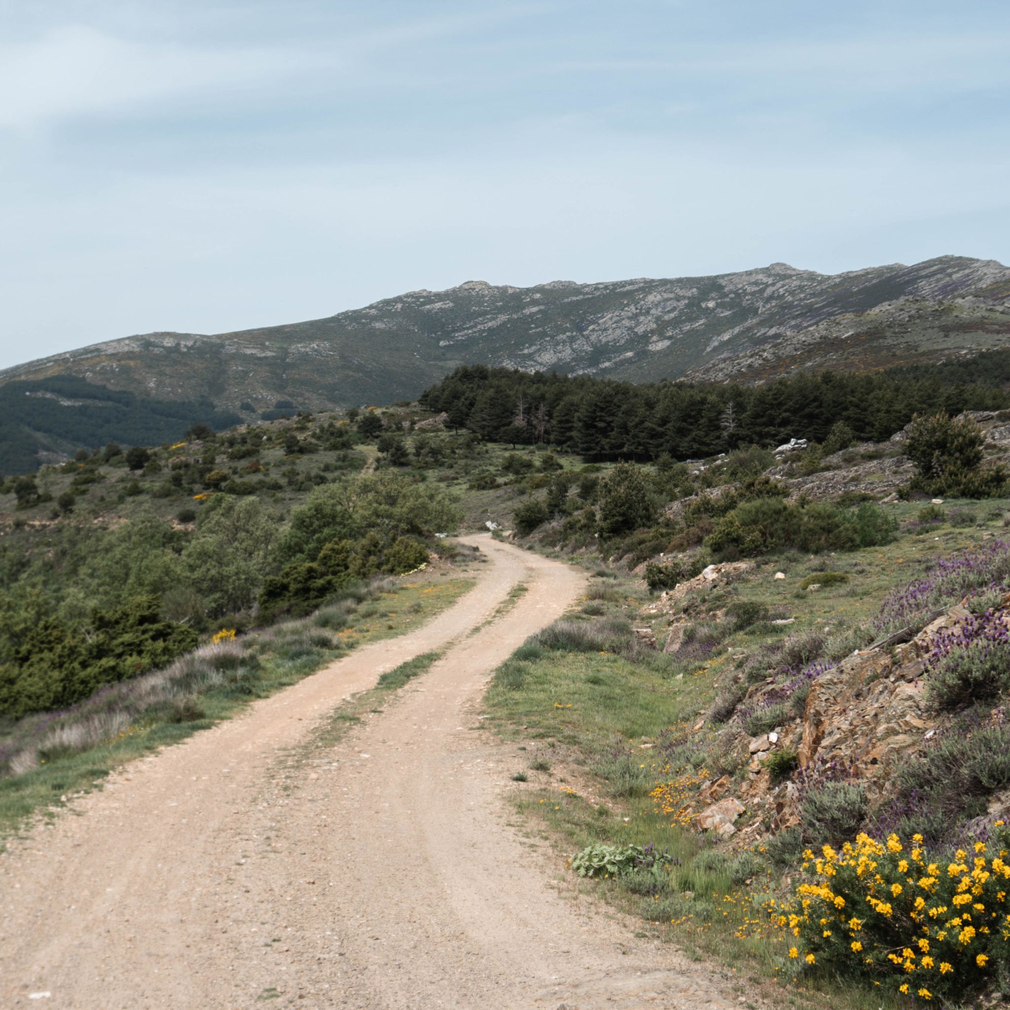
Road Cycling Routes in Sierra Norte De Guadalajara
MTB Trails in Sierra Norte De Guadalajara
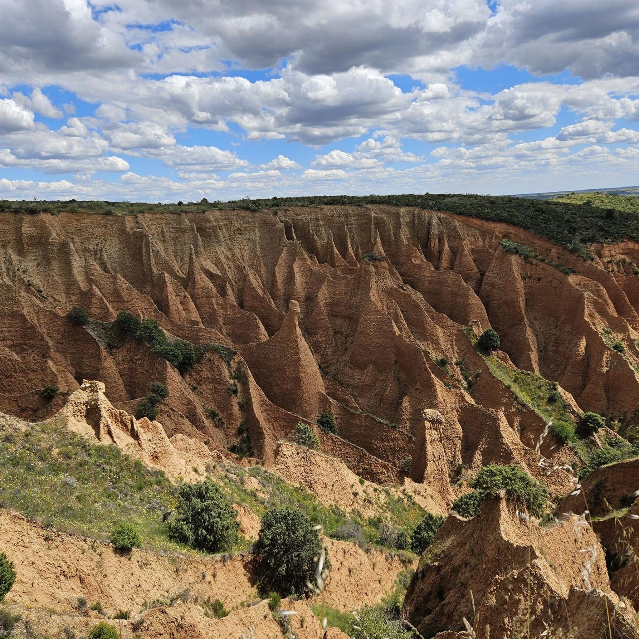
Cycling in Sierra Norte De Guadalajara
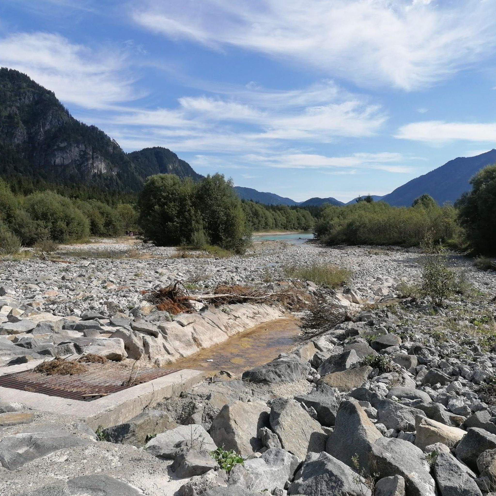
Gravel biking in Sierra Norte De Guadalajara
Other adventures in Sierra Norte De Guadalajara


Tips from the Community

(Be careful with the bridge they say is over the river... with the floods of 2025 it has disappeared)
0
1

The most popular route to ascend Pico Ocejón begins in Valverde de los Arroyos and is known for its scenic beauty and moderate difficulty. The hike is approximately 14.74 km and typically takes around 6 hours with stops. Along the way, hikers can enjoy spectacular views and the rich biodiversity of the area.
6
0

The climb is hard, but it is worth it. Although we were not lucky enough to see all the scenery that should be seen from that height. The descent is almost harder than the ascent.
1
0
A picturesque village among the black villages of Guadalajara. The food is great and it is a good starting point for hiking and mountain biking excursions.
1
0

start from the dam
1
0
The route that passes through the Puente de los Trillos is known for its natural landscapes and traditional black architecture. It is an excellent option for hiking lovers looking to explore the Sierra Norte of Guadalajara.
4
0
At 2049 metres above sea level, it is one of the highest and most popular peaks for hiking in the region. There are several routes to climb Pico Ocejón, the most common being those starting from Majaelrayo and Valverde de los Arroyos. Both routes offer stunning landscapes and the opportunity to enjoy nature at its best.
6
0

Beautiful place where people go for a walk or to climb.
1
0
Frequently Asked Questions
Are there easy hiking trails suitable for beginners or families in Sierra Norte de Guadalajara?
Yes, Sierra Norte de Guadalajara offers a range of trails for all skill levels. For a gentler experience, consider the "Senda de Carretas" in the Hayedo de Tejera Negra, which is approximately 6 km and ideal for less avid walkers or families. Komoot lists 2 easy trails and 60 moderate trails, providing plenty of options for those seeking a less strenuous hike.
Which hiking trails in Sierra Norte de Guadalajara are circular?
Many trails in Sierra Norte de Guadalajara are circular, allowing you to start and end at the same point. Popular options include the Jarama Trails Loop, a 16.3 km route offering scenic river views. Another excellent choice is the Aljibe Waterfall and Trillos Bridge - circular, which is about 11 km and showcases natural landscapes and traditional architecture.
Are there any hikes that feature waterfalls in Sierra Norte de Guadalajara?
Absolutely! The region is known for its beautiful waterfalls. You can hike to the Despeñalagua Waterfall near Valverde de los Arroyos, which is part of the challenging Pico Ocejon via the Chorrera Despenalagua - circular from Valverde de los Arroyos route. Another scenic option is the Aljibe Waterfall, accessible via the Aljibe Waterfall and Trillos Bridge - circular trail.
What kind of wildlife might I encounter while hiking in Sierra Norte de Guadalajara?
Sierra Norte de Guadalajara is rich in biodiversity. While hiking, especially in protected areas like the Hayedo de Tejera Negra Natural Park, you might spot birds of prey, roe deer, wild cats, and even wolves or otters. The diverse forest types and river basins provide habitats for a wide array of species.
Are there challenging hikes for experienced trekkers in Sierra Norte de Guadalajara?
Yes, the rugged topography of Sierra Norte de Guadalajara offers several challenging routes. Peaks like Pico Ocejón (2,049 m), Pico del Lobo (2,274 m), and Tres Provincias (2,129 m) provide demanding ascents with significant elevation gain. The Pico Ocejon via the Chorrera Despenalagua - circular from Valverde de los Arroyos is a difficult 11.3 km trail that requires good fitness.
What are some unique cultural attractions to see while hiking in the region?
Beyond natural beauty, Sierra Norte de Guadalajara is known for its distinctive "black architecture" villages like Valverde de los Arroyos and Majaelrayo, where houses are built with local slate and quartzite. You can also explore historical sites such as the Romanesque Santa Coloma church in Albendiego or the Gothic Bonaval monastery in Retiendas, which is near the Monastery of Bonaval and Medieval Bridge of Valdesotos — Gorges of Jarama route.
What is the best time of year to go hiking in Sierra Norte de Guadalajara?
The best time to hike largely depends on your preferred experience. Spring and autumn offer pleasant temperatures and vibrant landscapes, with autumn being particularly stunning in the beech forests like Hayedo de Tejera Negra. Summer can be hot, especially at lower elevations, but higher mountain trails provide cooler conditions. Winter offers unique snowy landscapes, but requires appropriate gear and experience for high-altitude routes.
How many hiking trails are available in Sierra Norte de Guadalajara?
Komoot features over 95 hiking trails in Sierra Norte de Guadalajara, ranging from easy strolls to difficult mountain ascents. This extensive network ensures there's a suitable route for nearly every hiker, with diverse landscapes to explore.
What do other hikers say about the trails in Sierra Norte de Guadalajara?
The hiking trails in Sierra Norte de Guadalajara are highly rated by the komoot community, with an average score of 4.6 stars from over 380 reviews. Hikers often praise the region's diverse landscapes, from river valleys and forests to high mountain peaks, and appreciate the well-maintained paths and stunning natural beauty.
Are there any specific natural parks or protected areas I should visit for hiking?
Yes, the Hayedo de Tejera Negra Natural Park is a must-visit. It's one of Europe's southernmost beech woods and offers stunning ecological value. Access to certain areas, like the beech forest walk, may require a day permit. The broader Sierra Norte de Guadalajara Natural Park also encompasses a wide range of trails designed for outdoor enthusiasts.
Where can I find hikes with great viewpoints in Sierra Norte de Guadalajara?
Many of the higher peaks in the region offer spectacular panoramic views. For instance, the ascent to Pico Ocejón provides expansive vistas. Additionally, the The viewpoints of the Hayedo Tejera Negra Natural Park - circular via the Carretas path route is specifically designed to showcase scenic overlooks within the beautiful beech forest.
Are there any huts or shelters available along the hiking routes?
Yes, there are several huts and shelters in Sierra Norte de Guadalajara that can be useful for longer hikes or as resting spots. Notable options include the Choza del Majadal, the Hijasalvas free shelter hut, and the Sierra del Atazar Shelter. Always check their availability and condition before planning your trip.
Most popular routes in Sierra Norte De Guadalajara
Most popular attractions in Sierra Norte De Guadalajara

Get inspired with the komoot mobile app


Explore more
Browse the best Hikes in other regions.
