The best MTB trails in Sierra Norte De Guadalajara
4.4
(44)
935
riders
16
rides
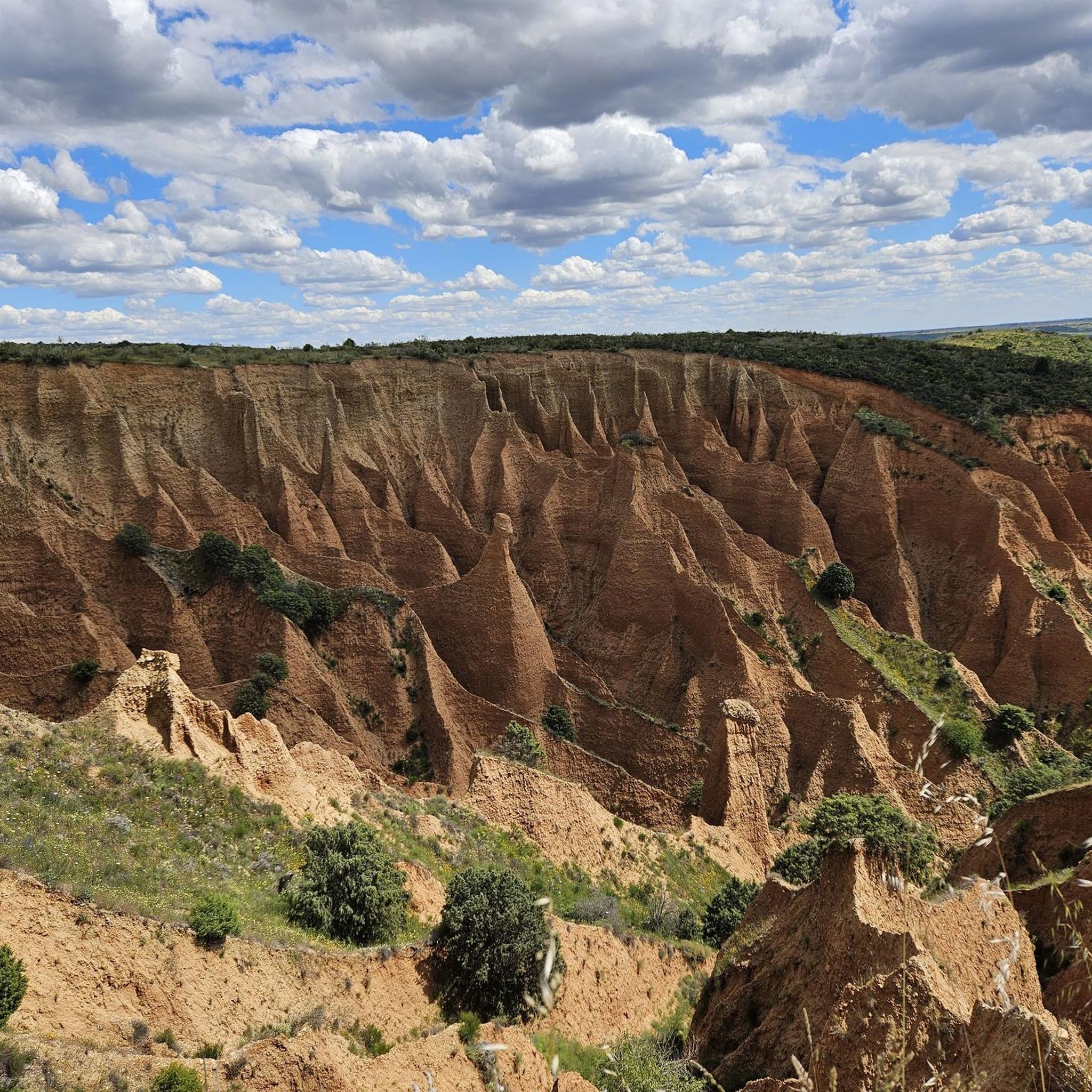
Mountain biking in Sierra Norte De Guadalajara offers a diverse landscape characterized by mountain ranges like Ayllón and Pela, connecting the Central System and the Iberian System. The region features significant altitudinal diversity, from towering peaks exceeding 2,000 meters to river valleys and vast forests. Its unique geology includes uplifted gneiss ridges and red, jagged clay landscapes, providing varied terrain for mountain bike trails. This area, located just 100 km from Madrid, is a convenient natural escape for outdoor enthusiasts.
…Last updated: July 7, 2026
3.3
(3)
17
riders
27.7km
02:53
680m
680m
Moderate mountain bike ride. Good fitness required. Advanced riding skills necessary.
1
riders
21.9km
01:51
260m
260m
Easy mountain bike ride. Great for any fitness level. Suitable for all skill levels.

Sign up for free
24
riders
57.2km
04:15
1,130m
1,130m
Hard mountain bike ride. Very good fitness required. Advanced riding skills necessary. Some portions of the route may require you to push your bike.
22
riders
41.4km
03:41
1,110m
1,110m
Hard mountain bike ride. Very good fitness required. Advanced riding skills necessary. Some portions of the route may require you to push your bike.
5.0
(2)
20
riders
27.7km
02:34
510m
510m
Moderate mountain bike ride. Good fitness required. Suitable for all skill levels.
Get access to more routes and recommendations from other explorers.
Sign up for free
Already have an account?
Our route recommendations are based on thousands of hikes, rides, and runs completed by other people on komoot.
Start today with a free account
Your next adventure awaits.
Login or Signup
Popular around Sierra Norte De Guadalajara
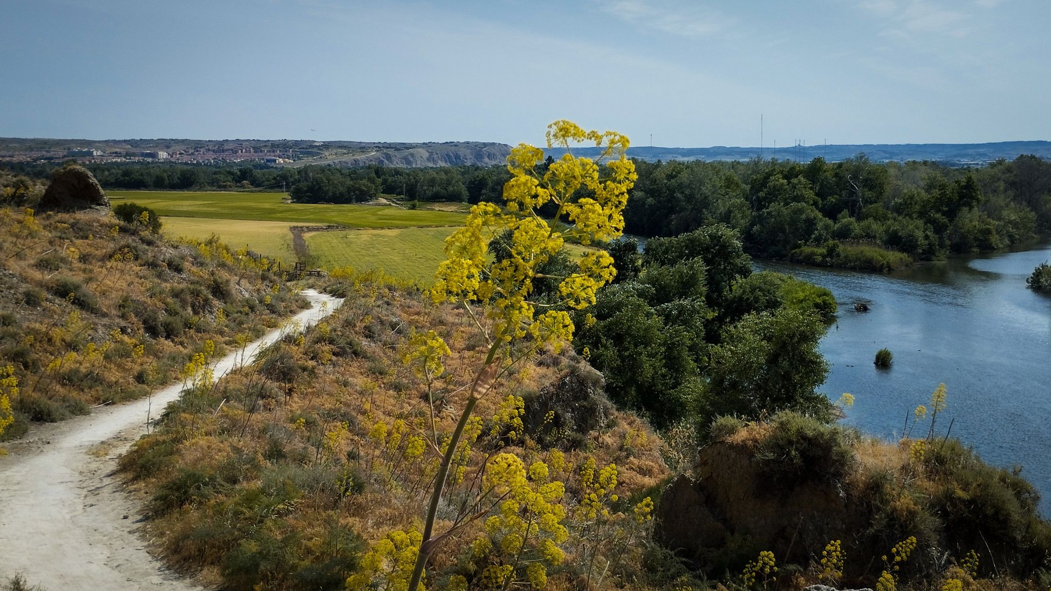
Unexpectedly wild – Jarama on a gravel bike

The Black Towns – Sierra Norte de Guadalajara on foot (GR 60)
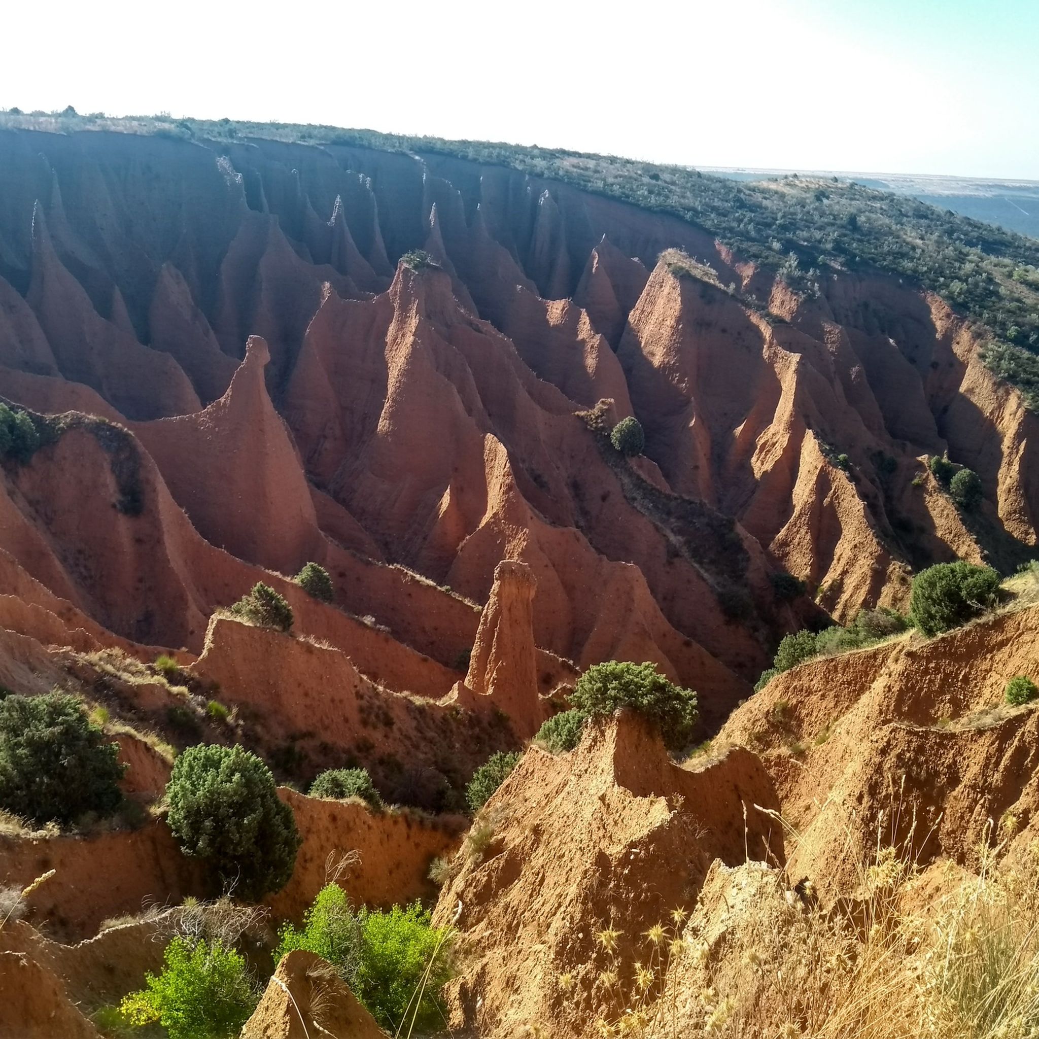
Hiking in Sierra Norte De Guadalajara
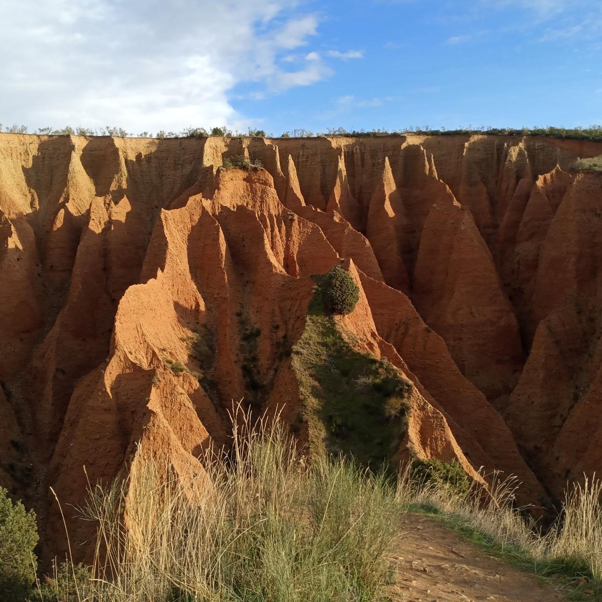
Running Trails in Sierra Norte De Guadalajara
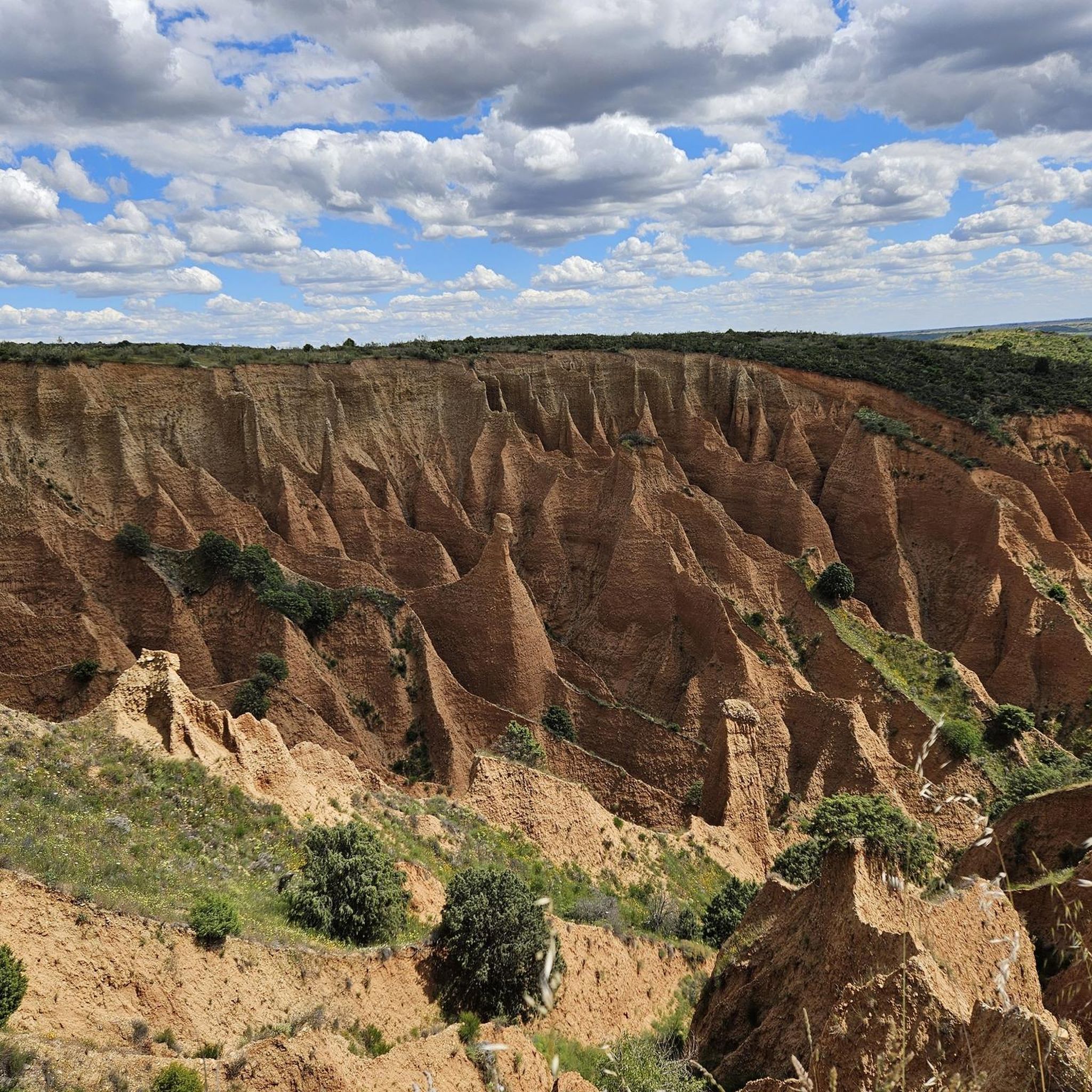
Road Cycling Routes in Sierra Norte De Guadalajara
Cycling in Sierra Norte De Guadalajara
Gravel biking in Sierra Norte De Guadalajara
Other adventures in Sierra Norte De Guadalajara


Tips from the Community

Ingang Park Sierda Norta de Guadalajara, Parc Natural
14
0
Behind this is the information center, which even has a small cinema. You can easily get all the information you need here.
9
0
Forest fires occur regularly here, all access roads are immediately closed.
9
0

(Be careful with the bridge they say is over the river... with the floods of 2025 it has disappeared)
0
1

The route that passes through the Puente de los Trillos is known for its natural landscapes and traditional black architecture. It is an excellent option for hiking lovers looking to explore the Sierra Norte of Guadalajara.
4
0

A hill between mountains and at the same time a crossroads of various paths. Strategic point in El Hayedo de Tejera Negra.
0
0

Access bridge to the black town of Matallana over the Jarama River. Matallana is located on a mountain that it shares with two other small but very representative villages of black architecture: La Vereda and El Vado, the latter flooded by the swamp to which it gives its name and from which we can only enjoy its old and charming church. of Nuestra Señora de la Blanca, saved in extremis from flooding by damming thanks to its location on a hill.
0
0
Nice walk between the Black towns. The downhill slopes must be done without haste, and the uphill slopes must be done calmly.
1
0
Frequently Asked Questions
What kind of mountain bike trails can I expect in Sierra Norte de Guadalajara, and are there options for different skill levels?
Sierra Norte de Guadalajara offers a diverse range of mountain bike trails, from moderate to difficult, catering to various skill levels. You'll find routes through mountain ranges, extensive forests, and river valleys. For example, the Senda del Genaro - Cerro Negro Loop is a moderate route, while more challenging options like the Choza del Majadal – Great Wall Bridge loop from Campillo de Ranas offer significant elevation gains.
Are there family-friendly mountain bike trails suitable for beginners or children?
Yes, there are easier routes suitable for families and beginners. The region provides options that are less strenuous, allowing for a more relaxed experience. An example is the Los Huertos - Tamajón – circular a las ruinas del Monasterio Bonaval, which is an easy 13.6-mile (21.9 km) path exploring the area around Tamajón.
What are some notable natural features or landmarks I can see along the mountain bike routes?
The Sierra Norte de Guadalajara is rich in natural beauty and unique geological features. You can encounter stunning beech tree forests like the Hayedo de Tejera Negra Natural Park, and ride past impressive peaks such as Pico Ocejón or Pico del Lobo. The region is also crisscrossed by rivers like the Jaramilla and Jarama, and features reservoirs like Vado and Beleña. Some routes, like the Closed due to forest fire loop from Parque Natural Hayedo Tejera Negra, take you through these scenic areas.
What is the best time of year to go mountain biking in Sierra Norte de Guadalajara?
The Sierra Norte de Guadalajara offers a diverse climate due to its altitudinal range. While specific recommendations depend on the route's elevation, generally, spring and autumn provide pleasant temperatures and vibrant landscapes, making them ideal for mountain biking. Summers can be hot, especially at lower elevations, while winters can bring snow to higher peaks, offering a different kind of challenge.
Are there any circular mountain bike routes available?
Yes, many mountain bike routes in Sierra Norte de Guadalajara are designed as circular loops, allowing you to start and end at the same point. Examples include the Senda del Genaro - Cerro Negro Loop and the Los Huertos - Tamajón – circular a las ruinas del Monasterio Bonaval, which are popular circular options.
What do other mountain bikers enjoy most about mountain biking in Sierra Norte de Guadalajara?
The komoot community highly rates mountain biking in Sierra Norte de Guadalajara, with an average score of 4.4 stars from over 40 reviews. Riders often praise the region's diverse landscapes, from towering peaks to river valleys and vast forests, as well as the variety of terrain that caters to different skill levels. The convenience of being just 100 km from Madrid is also frequently appreciated.
Are there any specific permits required for mountain biking in Sierra Norte de Guadalajara, especially within natural parks?
The Sierra Norte de Guadalajara includes protected areas like the Hayedo de Tejera Negra Natural Park. While many trails are generally accessible, it's always advisable to check the official regulations of specific natural parks or protected zones you plan to enter, as some may require permits or have restrictions on certain activities or times of year to protect wildlife and natural habitats.
Are there options for parking near the mountain bike trailheads?
Yes, many mountain bike trailheads in Sierra Norte de Guadalajara, particularly those starting from villages or popular natural areas, offer designated parking facilities. It's recommended to check the specific route details on komoot for information on parking availability at the starting point of your chosen tour.
Can I access mountain bike trails in Sierra Norte de Guadalajara using public transport?
While the Sierra Norte de Guadalajara is accessible by road, public transport options directly to all trailheads might be limited, especially in more remote areas. It's best to research bus routes to key towns or villages within the region, such as Tamajón or Campillo de Ranas, and plan your route from there. Some areas might require a short ride or taxi to reach the exact starting point.
Are there places to eat or stay near the mountain bike trails?
Yes, the Sierra Norte de Guadalajara has charming villages known for their 'black architecture,' such as Valverde de los Arroyos and Majaelrayo, which often provide amenities like cafes, restaurants, and accommodation. These villages serve as excellent bases for exploring the surrounding mountain bike trails and experiencing local culture.
Are there any particularly long or demanding mountain bike routes for advanced riders?
For advanced riders seeking a significant challenge, the Sierra Norte de Guadalajara offers several demanding routes. An example is the Puerto de la Quesera – Choza del Majadal loop from La Hiruela, which is a difficult 69.5-mile (111.7 km) trail with substantial elevation gain, requiring very good fitness and technical skill.
Most popular routes in Sierra Norte De Guadalajara
Most popular attractions in Sierra Norte De Guadalajara

Get inspired with the komoot mobile app


Explore more
Browse the best MTB trails in other regions.
