The 5 Most Amazing Peaks around Leitzweiler
Best mountain peaks around Leitzweiler are situated in the Saar-Nahe-Bergland region, bordering the Saar-Hunsrück Nature Park. This area, while not featuring towering peaks like major mountain ranges, offers several elevated points and natural attractions. Visitors can explore diverse landscapes and historical sites, providing opportunities for hiking and scenic views. The municipality itself is located at an elevation of 485 meters.
Best mountain peaks around Leitzweiler
- The most popular mountain peaks is Nahekopf Plateau and Kaiserallee, a historical site that…
Last updated: May 23, 2026
Weiselberg Summit and Steinerne Meer
Highlight • Summit
From a geological point of view, the »Steinernes Meer« is a heap of scree made from weathered material from the Weiselberg. From a geological point of view, this …
Translated by Google •
Tip by

View of the Potzberg
Highlight • Viewpoint
Translated by Google •
Tip by

Sign up now to discover places like this
Get recommendations on the best single tracks, peaks, & plenty of other exciting outdoor places.
Sign up for free
Start and finish of the Weiselberg Summit Tour
Highlight • Trail
The approximately 16 km long Weiselberg summit tour in Oberkirchen leads through a varied hilly landscape around the Weiselberg (569m). Light-flooded beech forests allow spectacular views over and over …
Translated by Google •
Tip by
View from Trautzberg
Highlight • Viewpoint
Translated by Google •
Tip by

Start today with a free account
Your next adventure awaits.
Login or Signup
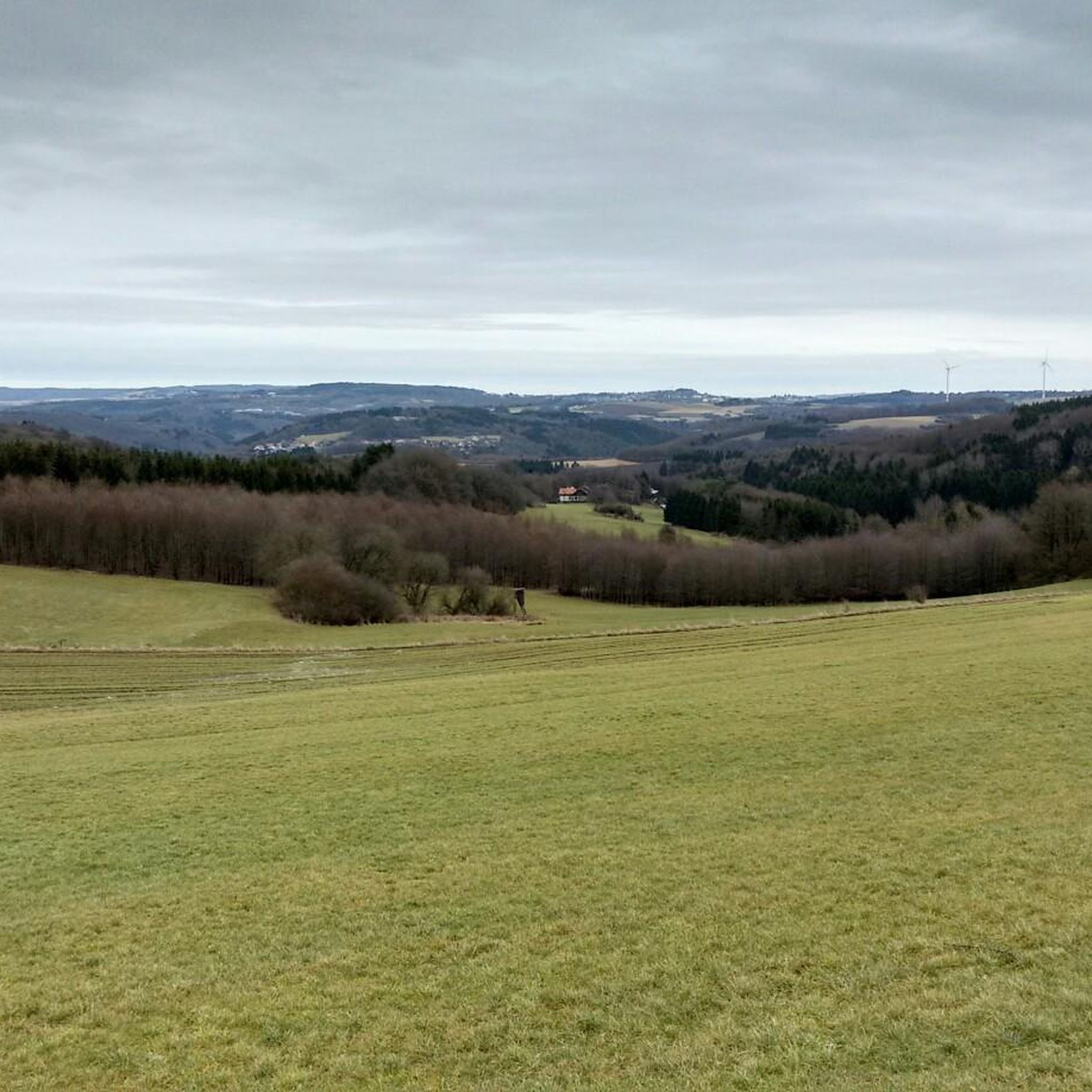
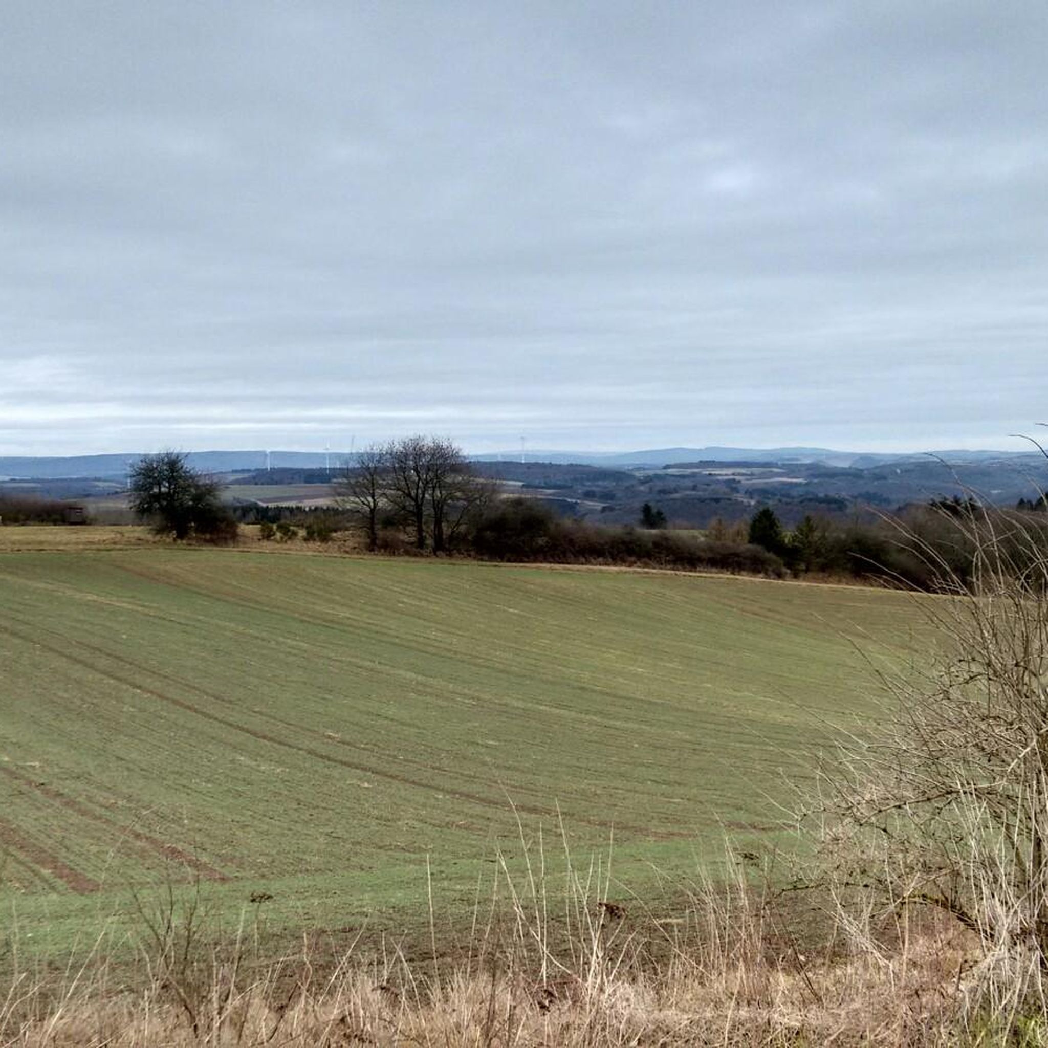
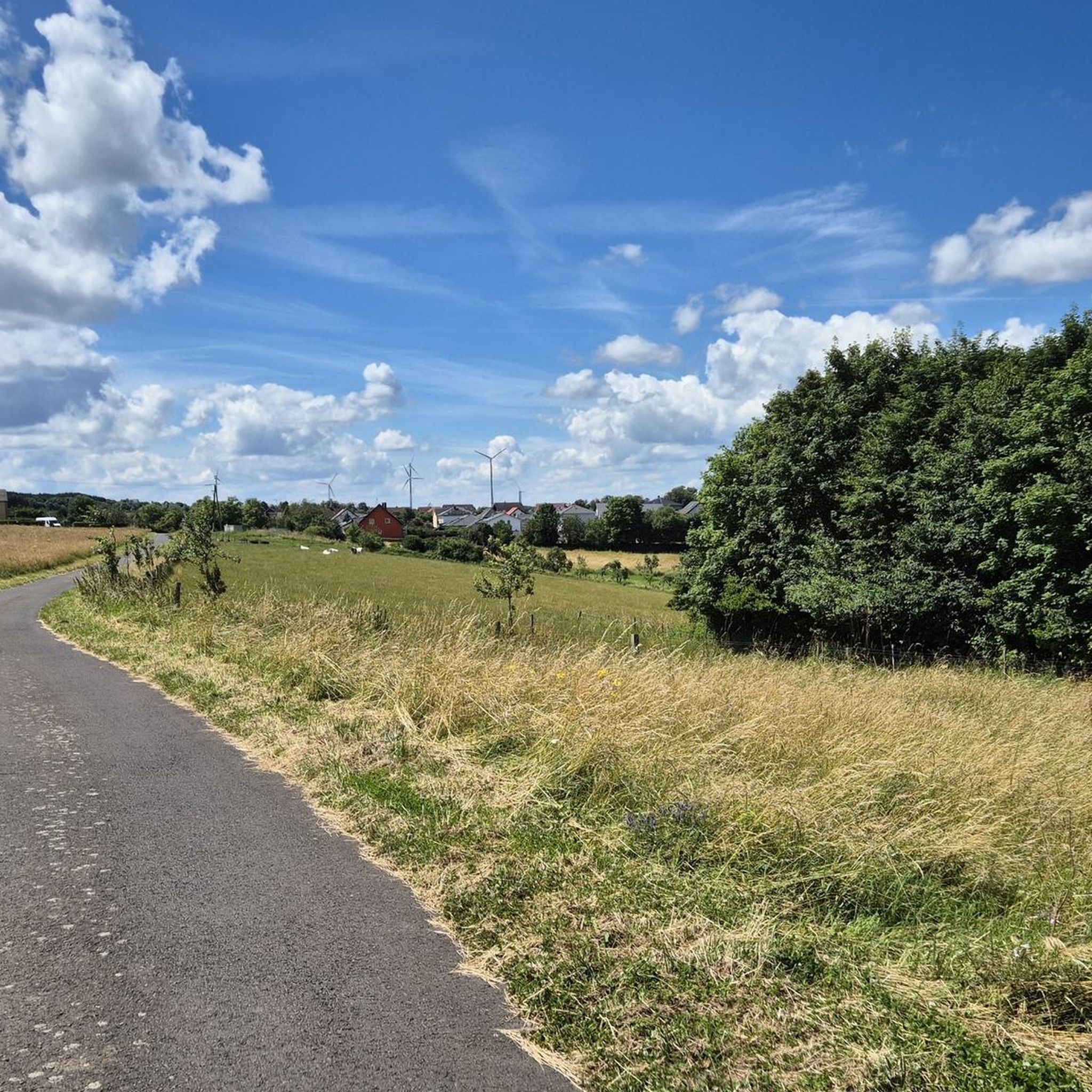
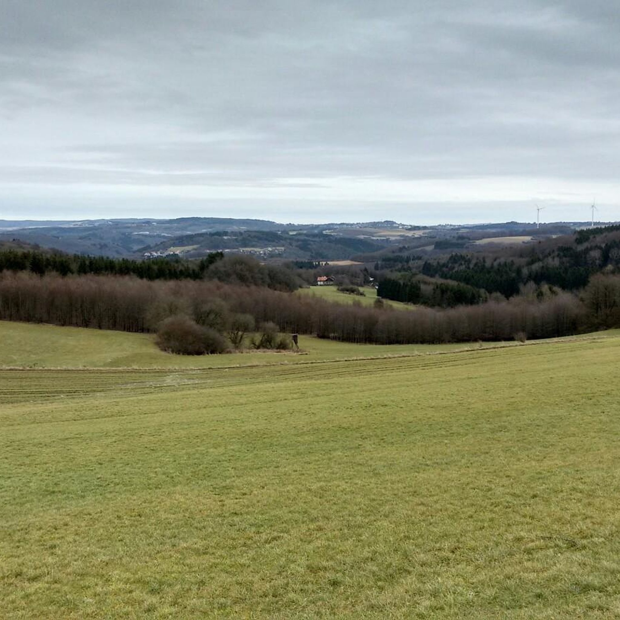

Tips from the Community

Great view over Saar, Hunsrück and Palatinate.
0
0

Somewhat hidden away are some great trails here - otherwise nice view!
1
0

The Potzberg, known as the "King of Westrich", is a wooded hill, 562 m above sea level, in the North Palatinate Uplands in Rhineland-Palatinate. (Source: Wikipedia)
0
0

𝗔𝘂𝘀𝘀𝗶𝗰𝗵𝘁 𝗮𝘂𝗳 𝗱𝗲𝗻 𝗣𝗼𝘁𝘇𝗯𝗲𝗿𝗴 The Potzberg is a 562m high wooded mountain in the North Palatinate Uplands and is nicknamed "King of Westrich". Today the Potzberg wildlife park, the Potzberg tower, a military tower and a hotel are located on the summit. The Potzbergturm is a 53.5m high viewing and transmission tower. Originally, a 18.5m high radio antenna on the platform completed the structure. The radio programs of what was then Südwestfunk were broadcast from here until the 1990s. The approx. 30ha large area of the wildlife park offers, favored by its altitude, an indescribable panorama of the North Palatinate mountains, with a visibility of more than 30km. Source: text information board
1
0
𝐒𝐭𝐞𝐢𝐧𝐞𝐫𝐧𝐞 𝐌𝐞𝐞𝐫 From a geological point of view, the »Steinernes Meer« is a heap of scree made from weathered material from the Weiselberg. From a geological point of view, this sea of rocks at the foot of the mountain is a work of the Ice Age. The last ice age only ended around 10,000 years ago. Magma rising underground got stuck under the earth's surface and solidified into mostly pentagonal column formations, quite typical of slowly cooling basalt rock. Over the course of millions of years, the surrounding softer sedimentary rock was removed by erosion. In geology, the very hard rock, which shines deep black when cut and is reminiscent of a starry sky with its bright feldspar particles, has been given the name »Weiselbergite«. The frost change climate during this geological epoch caused extreme weathering and erosion processes that were able to separate the blocks and columns weighing several tons from the rock structure. Not least because of the extreme daily temperature fluctuations, the steep southern slope of the Weiselberg with the typical vertical basalt columns offered the best conditions for the formation of the Felsenmeer. The boulders collected on the mountainside and have since been exposed to weathering. Covered with mosses, the »Steinernes Meer« repeatedly gave rise to eerie legends: Whether wild cyclopes played with it or the remains of an enchanted castle are left to the imagination of the observer. The Romans were already digging for agates on the surface of the Weiselberg. From the 15th century, when only little was to be found above ground and a veritable agate boom began, the agate seekers went deep. Some tunnels buried today bear witness to this. After the war there were concrete considerations to dismantle the Weiselberg as a quarry. This was prevented by the designation as a nature reserve in October 1950. In earlier times, the minerals of this region such as agate, chalcedony, jasper and petrified wood were processed in the gemstone metropolis of Idar-Oberstein. 3000 of these precious stones can be viewed in the Mineralogical Museum in the old school in Oberkirchen (0 68 55/332) and in the Mineral Museum (2000 exhibits) in Freisen (0 68 55/13 25). In the Gemstone Dorado in Freisen, treasure hunters can search for gemstones themselves. (0 68 55/1849 31) Source: Text information board
7
0
𝐊𝐮𝐫𝐳𝐛𝐞𝐬𝐜𝐡𝐫𝐞𝐢𝐛𝐮𝐧𝐠 The approximately 16 km long Weiselberg summit tour in Oberkirchen leads through a varied hilly landscape around the Weiselberg (569m). Light-flooded beech forests allow spectacular views over and over again. Mighty rock formations, a waterfall and many other natural gems promise an eventful hiking tour. Particularly impressive are the "Eulental", a narrow Kerbtal, the "Steinern Cabinet", the Oberkirchen Viaduct, the Weiselberg summit with wonderful views and the "Steinernes Meer" on the Weiselberg. You can refresh your tired feet at the water treading facility in Oberkirchen. A visit is recommended In the natural game park Freisen with a bird of prey show. The wonderful Weiselbergbad Oberkirchen invites you to relax at the end of the hiking tour. The two mineral musts in Freisen and Oberkirchen show many local rocks. Source: Text information board Starting point: Weiselbergbad Oberkirchen Route length: 15.6km Elevation gain: 565 m Difficulty level: medium Walking time: 4 - 5 hours Recommended walking direction: counterclockwise 𝐖𝐞𝐠𝐛𝐞𝐬𝐜𝐡𝐫𝐞𝐢𝐛𝐮𝐧𝐠 https://www.urlaub.saarland/Media/Touren/Weiselberg-Gipfeltour
7
1


Frequently Asked Questions
What are the most notable elevated points and natural features around Leitzweiler?
While Leitzweiler doesn't feature towering peaks, the region offers several significant elevated points and natural attractions. Key highlights include the Weiselberg Summit and Steinerne Meer, known for its unique geological formations. You can also find scenic vistas at View of the Potzberg and View from Trautzberg, one of the highest points in the Freisener Land.
Are there historical sites or cultural landmarks on the mountain peaks near Leitzweiler?
Yes, the Nahekopf Plateau and Kaiserallee is a significant historical site. It features remnants of Celtic and Roman fortifications, along with a modern replica of a Kaiserallee adorned with portraits of Roman emperors. This area provides a fascinating glimpse into the region's ancient past.
What kind of geological features can I expect to see?
The Weiselberg Summit and Steinerne Meer is a prime example. Here, you'll discover the 'Steinerne Meer' (sea of rocks), a unique scree heap formed from weathered material during the Ice Age. The area is also known for 'Weiselbergite,' a very hard, dark rock with bright feldspar particles, and historically, for agate mining.
Are there family-friendly options for exploring the elevated areas?
Absolutely. The Nahekopf Plateau and Kaiserallee is categorized as family-friendly, offering an engaging historical experience. Additionally, the broader Saar-Hunsrück Nature Park provides numerous trails suitable for families, allowing for enjoyable outdoor experiences amidst tranquil landscapes.
What hiking opportunities are available around Leitzweiler's elevated points?
The region offers diverse hiking experiences. A notable option is the Weiselberg Summit Tour, an approximately 16 km long route that takes you through varied hilly landscapes, light-filled beech forests, and past impressive rock formations and a waterfall. This tour is generally considered of medium to difficult intensity.
How long does the Weiselberg Summit Tour take to complete?
The Weiselberg Summit Tour typically takes between 4 to 5 hours to walk. It covers a distance of 15.6 km with an elevation gain of 565 meters, making it a rewarding half-day to full-day excursion.
What other outdoor activities can I do near these elevated points?
Beyond hiking, the area around Leitzweiler is excellent for cycling and running. You can find various routes for mountain biking, road cycling, and jogging. For example, explore the Traffic-free bike rides around Leitzweiler, discover Road Cycling Routes around Leitzweiler, or check out the Running Trails around Leitzweiler.
What makes the Weiselberg Summit Tour challenging?
While often described as medium difficulty, the Weiselberg Summit Tour includes several strenuous climbs that require a good basic fitness level. The varied terrain and significant elevation gain contribute to its challenging nature, offering a rewarding experience for those seeking a more demanding hike.
What can I expect to see from the View of the Potzberg?
From the View of the Potzberg, you'll get a great view of the Potzberg itself, a 562-meter high wooded mountain known as the 'King of the Westrich.' The area offers an expansive panorama of the North Palatinate mountains, with visibility often exceeding 30 km on clear days.
Are there any unique natural monuments or features to look out for?
Yes, the Weiselberg Summit and Steinerne Meer is a designated natural monument. Beyond the 'Steinerne Meer' itself, the area is rich in geological history, including the formation of unique basalt columns. The Weiselberg Summit Tour also highlights features like the 'Eulental' (a narrow Kerbtal) and the 'Steinern Cabinet,' showcasing the region's diverse natural beauty.
What do visitors enjoy most about the elevated points around Leitzweiler?
Visitors particularly appreciate the tranquil, unspoiled nature and the diverse landscapes. The combination of historical sites like the Nahekopf Plateau and Kaiserallee, unique geological formations at the Weiselberg Summit, and panoramic views from spots like the View of the Potzberg offers a rich experience for outdoor enthusiasts and history buffs alike.
Most popular routes around Leitzweiler
Most popular attractions around Leitzweiler

Get inspired with the komoot mobile app


Explore more
See even more amazing summits around Leitzweiler with these guides:
