The best running trails around Leitzweiler
4.0
(169)
1,641
runners
102
runs
Jogging routes Leitzweiler are situated within the Saar-Hunsrück Nature Park, offering a diverse landscape for runners. The region features picturesque forests and rolling hills, providing varied terrain from shaded woodland paths to more challenging inclines. Clear rivers, such as the Nahe, also offer flat and pleasant running routes along their banks. This natural setting, combined with well-marked trails, makes Leitzweiler a suitable destination for outdoor running.
Best jogging routes around Leitzweiler
- The most popular jogging route is Running loop from…
Last updated: October 13, 2026
5.0
(1)
94
runners
9.18km
01:00
180m
180m
Moderate run. Good fitness required. Mostly paved surfaces. Suitable for all skill levels.
5.0
(2)
53
runners
14.8km
01:37
200m
200m
Moderate run. Good fitness required. Mostly paved surfaces. Suitable for all skill levels.

17
runners
3.75km
00:23
10m
10m
Easy run. Great for any fitness level. Mostly paved surfaces. Suitable for all skill levels.
15
runners
14.1km
01:40
310m
310m
Hard run. Very good fitness required. Mostly paved surfaces. Suitable for all skill levels.
1.0
(1)
32
runners
11.8km
01:24
270m
270m
Moderate run. Good fitness required. Mostly paved surfaces. Suitable for all skill levels.
Get access to more routes and recommendations from other explorers.
Already have an account?
Our route recommendations are based on thousands of hikes, rides, and runs completed by other people on komoot.
Start today with a free account
Your next adventure awaits.
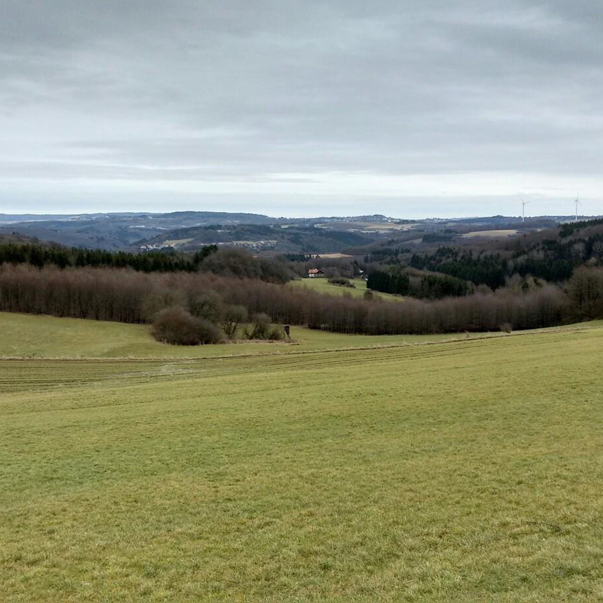
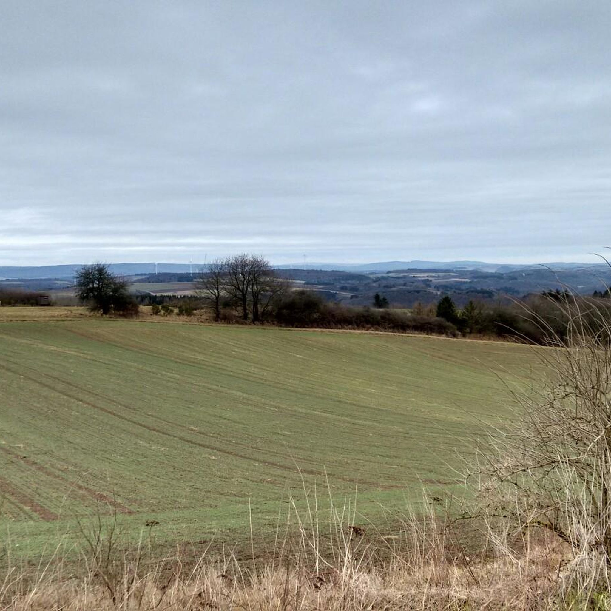
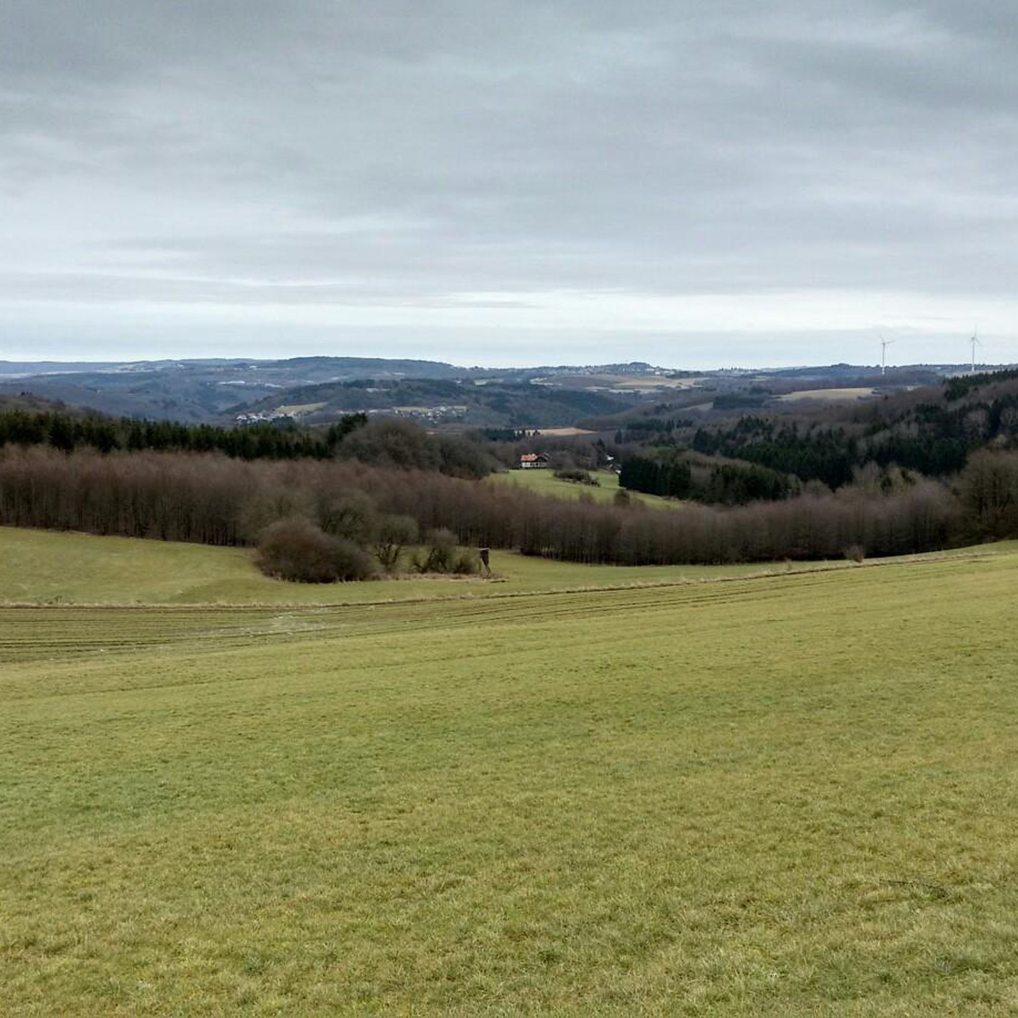
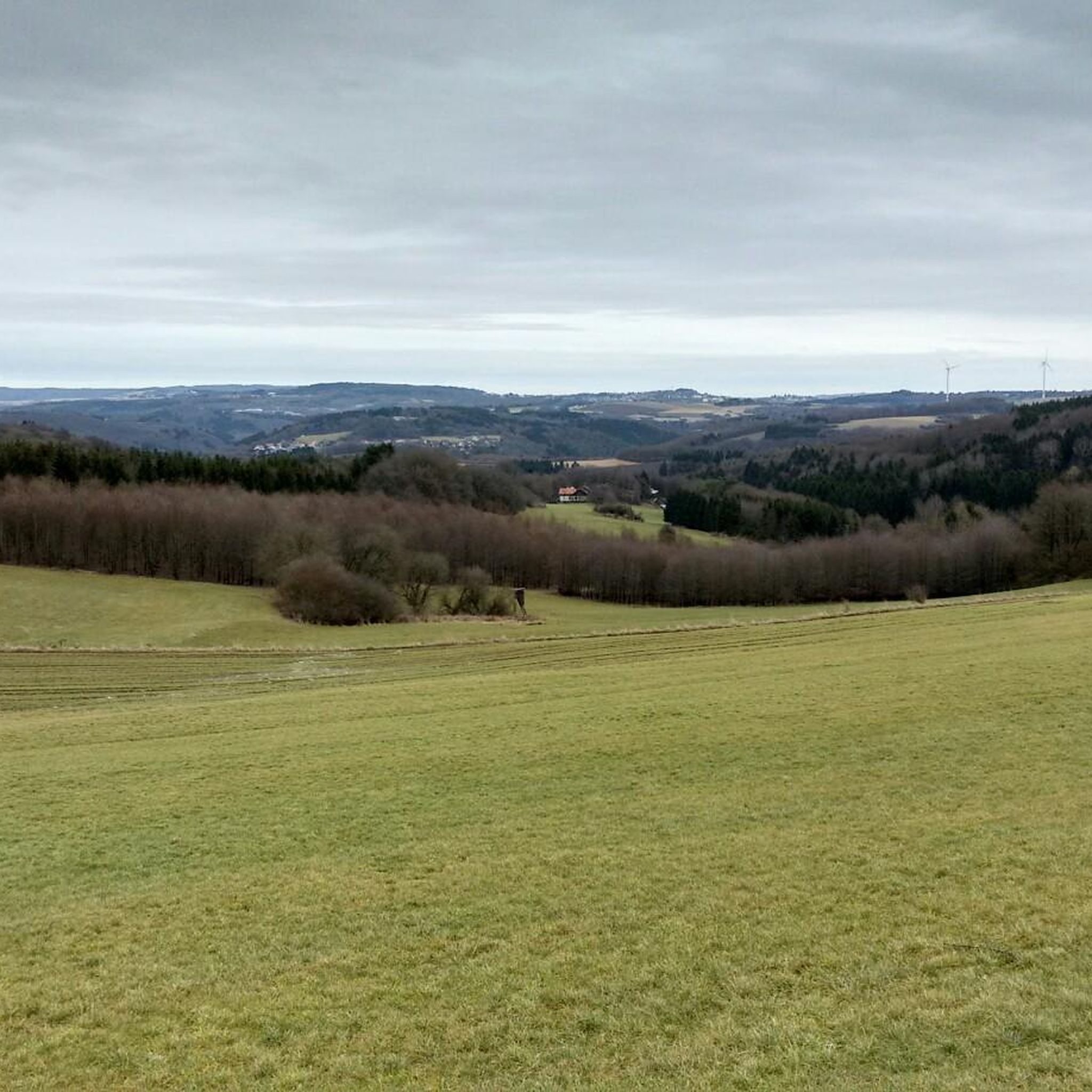

Tips from the Community

Indeed a big oak. I couldn't quickly read how old it is, but the tree is certainly impressive, although it is a bit hidden among other trees.
1
0

🪨 Bärenfels rock outcrop – a striking vantage point above the valley The Bärenfels is a striking rock formation at the edge of the forest, offering expansive views over the region's forests, hills, and valleys. The rock outcrop juts slightly above the terrain and offers a natural panoramic viewpoint for hikers with a head for heights. Tip: In dry weather, the rock is easy to climb – sturdy shoes are a must! Ideal for a short rest with a view and a great photo opportunity.
0
0


Cycle paths are the cyclist's recreation :D
1
1

From here you have a good view of the quarry. The path up is rocky and rooty. ;)
0
0

The landscape along the Nahe River is almost jungle-like. But the climbs and descents are quite steep, although the steepest sections are fortunately paved.
1
1

The Bärenpfad is always worth a trip!
1
0
In the Nahe area, you can rest well in summer.
1
0
Frequently Asked Questions
How many running routes are available around Leitzweiler?
There are over 90 running routes documented around Leitzweiler on komoot, offering a wide variety of options for joggers of all levels. These trails are situated within the picturesque Saar-Hunsrück Nature Park.
What kind of terrain can I expect on jogging trails near Leitzweiler?
The region around Leitzweiler is characterized by diverse terrain, including picturesque forests and rolling hills, providing both shaded woodland paths and more challenging inclines. You can also find pleasant, flatter routes along clear rivers like the Nahe.
Are there running options for different fitness levels?
Yes, Leitzweiler offers a good mix of running routes for various fitness levels. You'll find 14 easy routes perfect for a gentle jog, 67 moderate trails for a more dynamic workout, and 10 difficult routes for those seeking a greater challenge with significant elevation changes.
What do other runners appreciate about the jogging routes in Leitzweiler?
The running routes in Leitzweiler are highly rated by the komoot community, with an average score of 4.1 stars from over 113 reviews. Runners often praise the varied terrain, the beautiful natural scenery of the Saar-Hunsrück Nature Park, and the well-marked paths.
Are there any circular running routes in the Leitzweiler area?
Absolutely. Many routes are designed as loops, allowing you to start and finish in the same location. For example, the Running loop from Hoppstädten-Weiersbach is an easy 2.7-mile (4.4 km) circular trail that takes about 27 minutes to complete.
Can I find family-friendly jogging paths around Leitzweiler?
Yes, there are several easy running paths suitable for families. The Running loop from Hoppstädten (Nahe) is a gentle 3.0-mile (4.9 km) trail through rolling hills and forest paths, often completed in about 31 minutes, making it a great option for a family outing.
Are the running trails around Leitzweiler suitable for dogs?
Many of the natural trails within the Saar-Hunsrück Nature Park are dog-friendly, allowing you to enjoy a run with your canine companion. It's always a good idea to keep your dog on a leash, especially in areas with wildlife or near other visitors, and to check local regulations for specific trails.
What are some scenic landmarks or natural features I might see while jogging?
While jogging around Leitzweiler, you'll encounter beautiful forests, rolling hills, and clear rivers. The area is also rich in history, with nearby attractions such as the Frauenburg Castle Ruins or Veldenz Castle (Nohfelden), which you might pass or be near on some routes.
Are there any challenging running trails for experienced runners?
For experienced runners seeking a challenge, Leitzweiler offers several difficult routes. An example is the Old Birkenfeld Railway Station – Nahesteig Trailhead loop from Neubrücke (Nahe), a demanding 12-mile (19.2 km) route with significant elevation changes, providing a strenuous workout.
Can I combine my run with a visit to a nearby lake?
While not directly in Leitzweiler, the nearby Bostalsee is a popular recreational area. Lakeside paths around such bodies of water often provide flat, scenic routes perfect for jogging, offering open views and a refreshing environment. You might find routes that connect to or pass near the lake.
Are there any longer running routes for endurance training?
Yes, for those looking for longer distances, routes like the Nahesteig Trailhead – Nahe River loop from Hoppstädten (Nahe) offer a substantial run. This moderate 6.6-mile (10.7 km) trail provides a good endurance challenge through varied landscapes.
What is the best time of year to go jogging in Leitzweiler?
Leitzweiler's natural setting makes it suitable for jogging throughout much of the year. Spring and autumn offer pleasant temperatures and beautiful scenery with blooming flowers or vibrant fall foliage. Summer mornings and evenings are ideal to avoid the midday heat, while winter runs can be invigorating, especially on cleared paths, though conditions may vary.
Most popular routes around Leitzweiler
Most popular attractions around Leitzweiler

Get inspired with the komoot mobile app


Explore more
Browse the best Running Trails & Routes in other regions.
