The best road cycling routes around Leitzweiler
4.6
(142)
2,068
riders
118
rides
Road cycling around Leitzweiler, situated within the Saar-Hunsrück Nature Park, offers diverse landscapes for cyclists. The region features picturesque forests, rolling hills, and clear rivers, providing varied terrain for road cycling routes. Its proximity to the Hunsrück-Hochwald National Park ensures access to unspoilt nature with rustic forests and scenic vistas. This topography allows for both challenging routes with elevation gain and more leisurely riverside paths.
Best road cycling routes around Leitzweiler
- The most popular road cycling route is Iron Bridge…
Last updated: July 5, 2026
4.6
(7)
38
riders
Moderate road ride. Good fitness required. Mostly well-paved surfaces and easy to ride.
5.0
(4)
37
riders
77.9km
03:22
630m
630m
Moderate road ride. Good fitness required. Mostly well-paved surfaces and easy to ride.

Sign up for free
4.2
(6)
31
riders
Easy road ride. Great for any fitness level. Mostly well-paved surfaces and easy to ride.
3.0
(1)
17
riders
Moderate road ride. Good fitness required. Some segments of this route may be unpaved and difficult to ride.
5.0
(2)
20
riders
30.6km
01:21
280m
280m
Easy road ride. Great for any fitness level. Mostly well-paved surfaces and easy to ride.
Get access to more routes and recommendations from other explorers.
Sign up for free
Already have an account?
Our route recommendations are based on thousands of hikes, rides, and runs completed by other people on komoot.
Start today with a free account
Your next adventure awaits.
Login or Signup
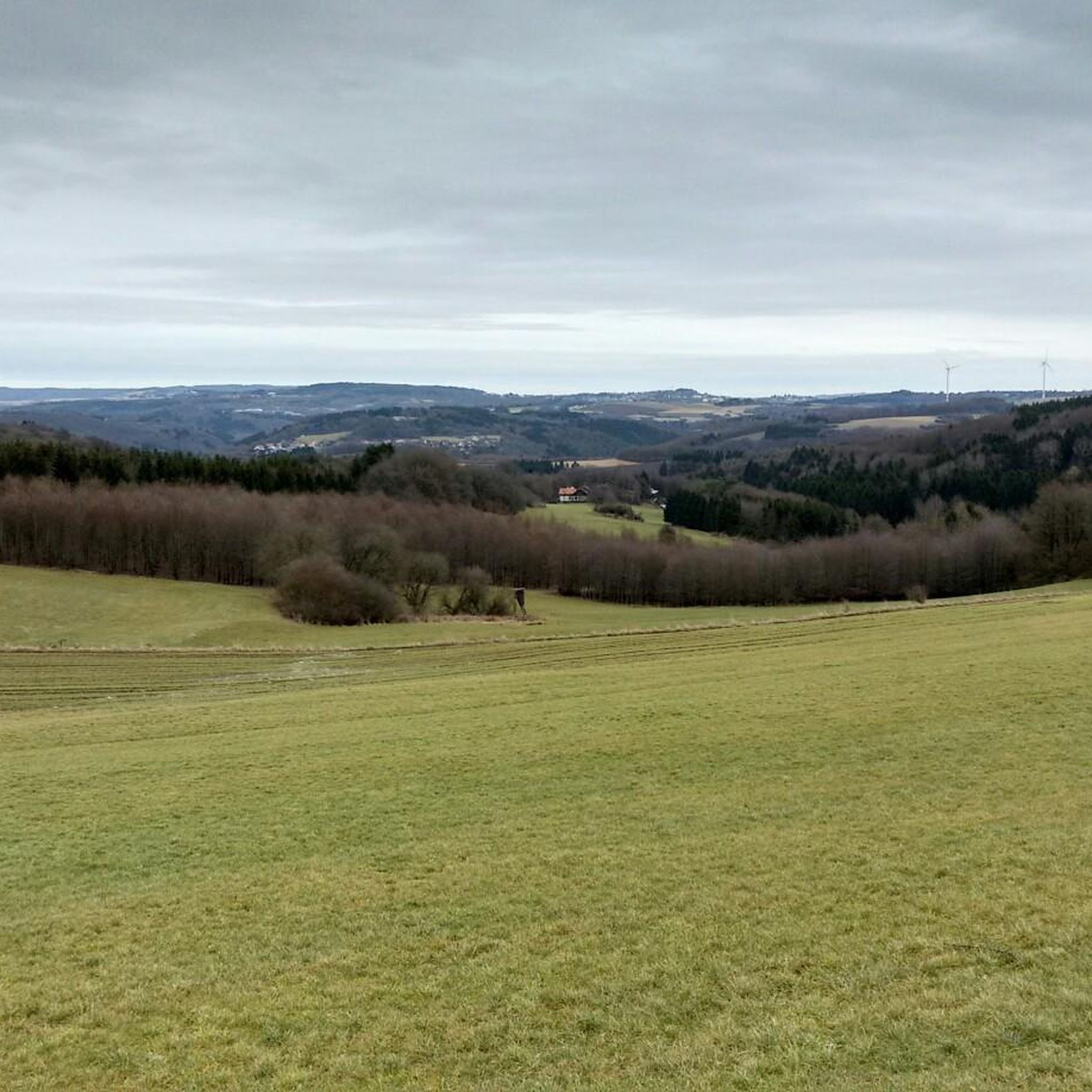
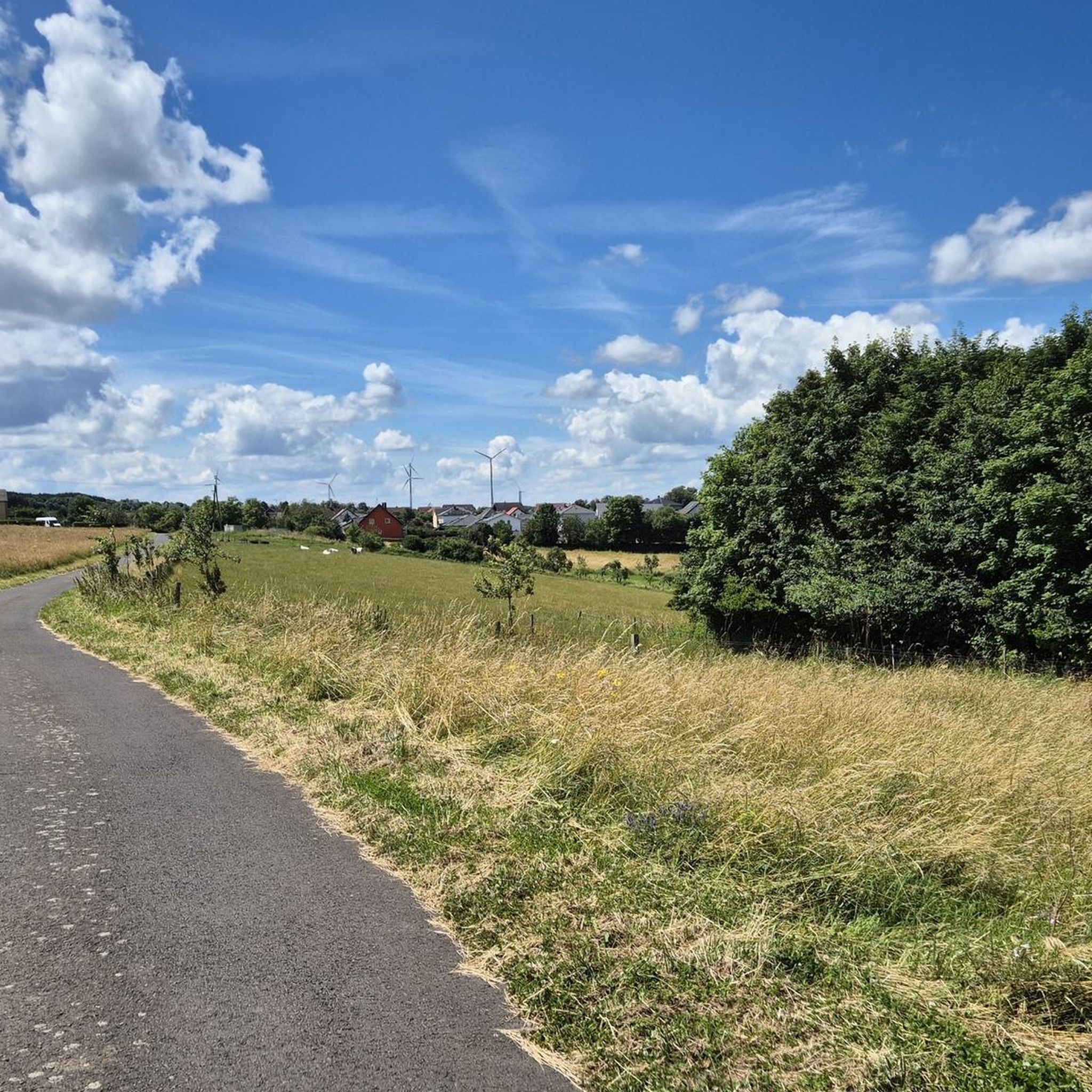
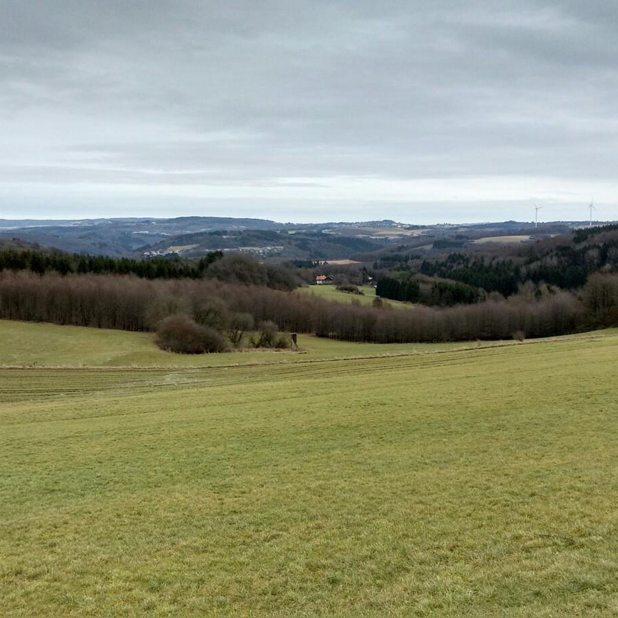
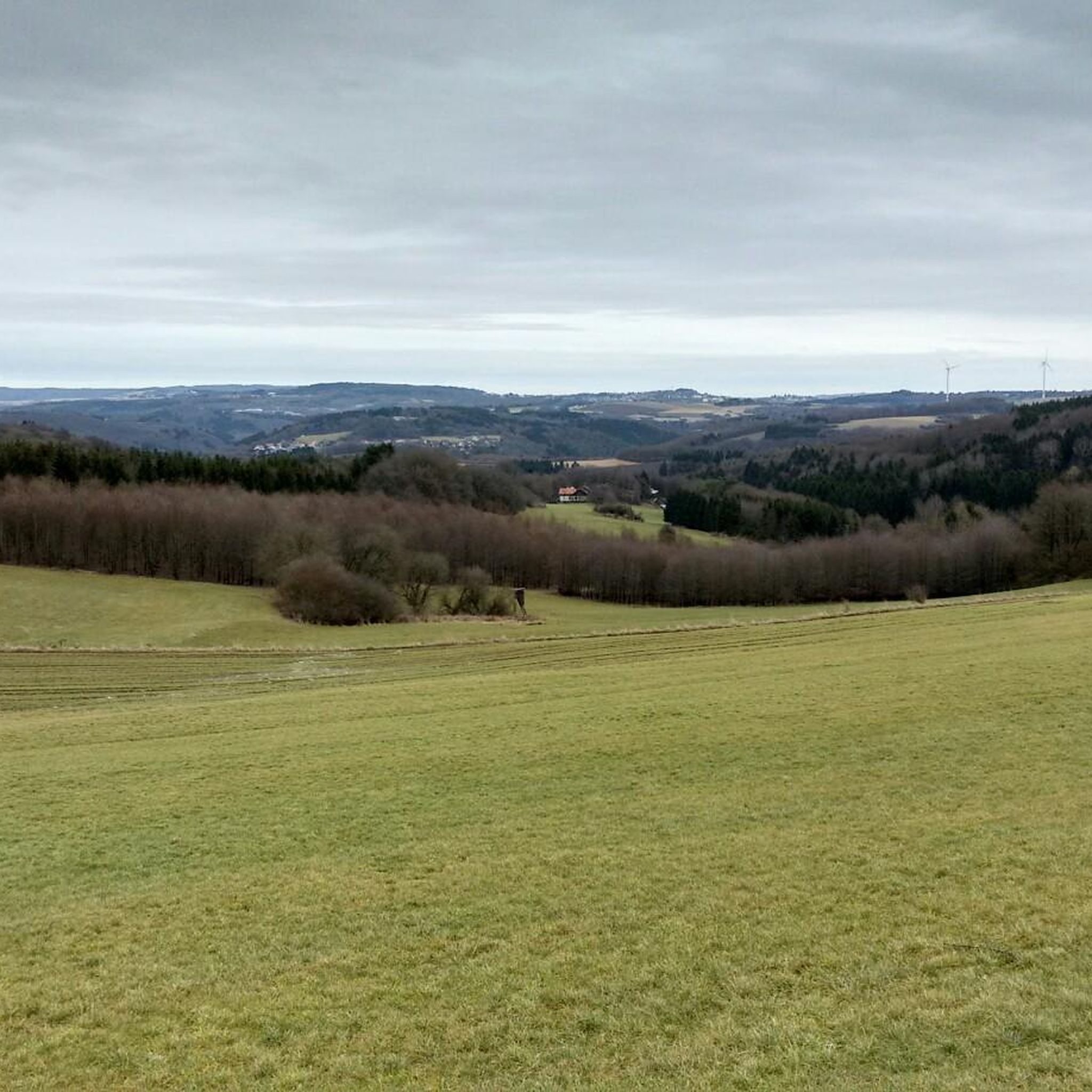

Tips from the Community

Great route, usually little traffic
0
0

That's not the deer watering hole; that's much further up in the forest. That's the bridge over the Traunbach stream.
0
0

below the Rosselhalde
0
0

The Türkismühle information point is a popular spot for cyclists and hikers in the St. Wendeler Land region. It is located near the former mill, dating back to 1747, and features information panels about its history. The surrounding area is ideal for hikes and bike rides through the picturesque landscape.
2
0
On the Sankt Wendeler Land Railway Cycle Route, a rest area with a historic carriage invites you to take a special break. The lovingly preserved carriage is a reminder of the route's railway past. Here, you can take a leisurely rest, enjoy a bite to eat, or simply enjoy the atmosphere.
4
0

We passed through here on the third day of our Trier-Grünstadt tour. It's one of the most beautiful bike paths we've ever ridden.
3
0

Frequently Asked Questions
How many road cycling routes are available around Leitzweiler?
There are over 100 road cycling routes around Leitzweiler, offering diverse options for various skill levels. You'll find 13 easy routes, 82 moderate routes, and 24 difficult routes to explore.
What kind of terrain can I expect on road cycling routes near Leitzweiler?
Road cycling around Leitzweiler features a varied terrain of picturesque forests, rolling hills, and clear rivers. The routes predominantly use paved roads, making them ideal for road bikes, and offer a dynamic experience with both challenging climbs and more leisurely paths.
What is the best time of year for road cycling in Leitzweiler?
The best seasons for road cycling in Leitzweiler are spring and summer. During these months, the weather is most favorable for enjoying the region's natural beauty and the extensive network of routes.
Are there road cycling routes suitable for beginners or families in Leitzweiler?
Yes, Leitzweiler offers several routes suitable for beginners and families. For example, the Martin Train Station – Old Birkenfeld Railway Station loop from Hoppstädten (Nahe) is an easy 30.4 km trail, and the Baumholder Pond – Breitsesterhof loop from Hoppstädten (Nahe) is another easy option at 30.6 km.
Can I find challenging road cycling routes with significant elevation gain around Leitzweiler?
Absolutely. The rolling hills of the Saar-Hunsrück Nature Park provide opportunities for challenging routes with significant elevation gain. An example is the Saar-Hunsrück Nature Park – Bridge Over the Traunbach loop from Neubrücke (Nahe), a moderate 58.8 km route with over 770 meters of elevation gain.
What natural features or viewpoints can I see along road cycling routes?
Many routes offer stunning natural features and viewpoints. You can enjoy views of the Bostalsee from the dam, explore the Weiselberg Summit and Steinerne Meer, or take in the View of the Potzberg. The region is rich with picturesque forests and clear rivers.
Are there any historical sites or cultural landmarks to explore while road cycling?
Yes, the region around Leitzweiler offers several historical and cultural landmarks. You can cycle past the Nahekopf Plateau and Kaiserallee, or visit the historic old town of Birkenfeld with its charming half-timbered houses. Lichtenberg Castle and Birkenfeld Castle are also notable points of interest in the vicinity.
Is public transport available to access road cycling routes in Leitzweiler?
Leitzweiler is situated within a region with various transport options. While specific public transport connections directly to all trailheads might vary, the area is generally accessible, and some routes, like those starting from Hoppstädten (Nahe), are often near transport hubs.
Where can I find parking for road cycling routes in Leitzweiler?
Many popular road cycling routes around Leitzweiler, especially those starting from towns like Hoppstädten (Nahe) or Heimbach Ort, typically have designated parking areas nearby. It's advisable to check the specific route details on komoot for parking information at the trailhead.
Are there places to stop for refreshments or accommodation for cyclists in Leitzweiler?
Yes, cycling through idyllic villages in the Leitzweiler region often brings you past cafes, pubs, and guesthouses. The nearby Bostalsee also offers various facilities, including places for refreshments. For specific recommendations, check the highlight section on komoot for facilities along your chosen route, such as the Rest Area on the Sankt Wendeler Land Rail Trail.
What do other road cyclists enjoy most about the routes in Leitzweiler?
The road cycling routes in Leitzweiler are highly rated by the komoot community, with an average score of 4.6 stars from over 160 reviews. Cyclists often praise the diverse landscapes, including picturesque forests and rolling hills, and the well-maintained, predominantly paved roads that make for an excellent road biking experience.
Are there any long-distance road cycling options around Leitzweiler?
Yes, the region offers options for longer tours. Routes like the View of Bostalsee – Türkismühle Information Point loop from Heimbach Ort cover 78 km. Additionally, the area's extensive network allows for connections to longer regional paths like the Bahnradweg Sankt Wendel or the Ruwer-Hochwald Cycle Path, expanding your long-distance possibilities.
Are there specific scenic routes recommended for road cycling?
Many routes in the Leitzweiler area are known for their scenic beauty. The Iron Bridge in Türkismühle – Türkismühle Information Point loop from Hoppstädten (Nahe) is a popular choice, navigating through the picturesque Saar-Hunsrück Nature Park. The Sankt Wendeler Land Cycle Path is also highly praised for its beautiful scenery.
Most popular routes around Leitzweiler
Most popular attractions around Leitzweiler

Get inspired with the komoot mobile app


Explore more
Browse the best Road cycling routes in other regions.
