Top 6 Mountain Passes around Champcella
Best mountain passes around Champcella are found in the Hautes-Alpes region, offering access to diverse terrain for outdoor activities. This area is characterized by its mountainous landscape, providing various routes for hikers and mountain bikers. The passes serve as natural gateways between valleys, often featuring panoramic views. Champcella acts as a base for exploring these natural attractions within the French Alps.
Best mountain passes around Champcella
- The most popular mountain passes is Col de la Pousterle, a mountain pass…
Last updated: October 13, 2026
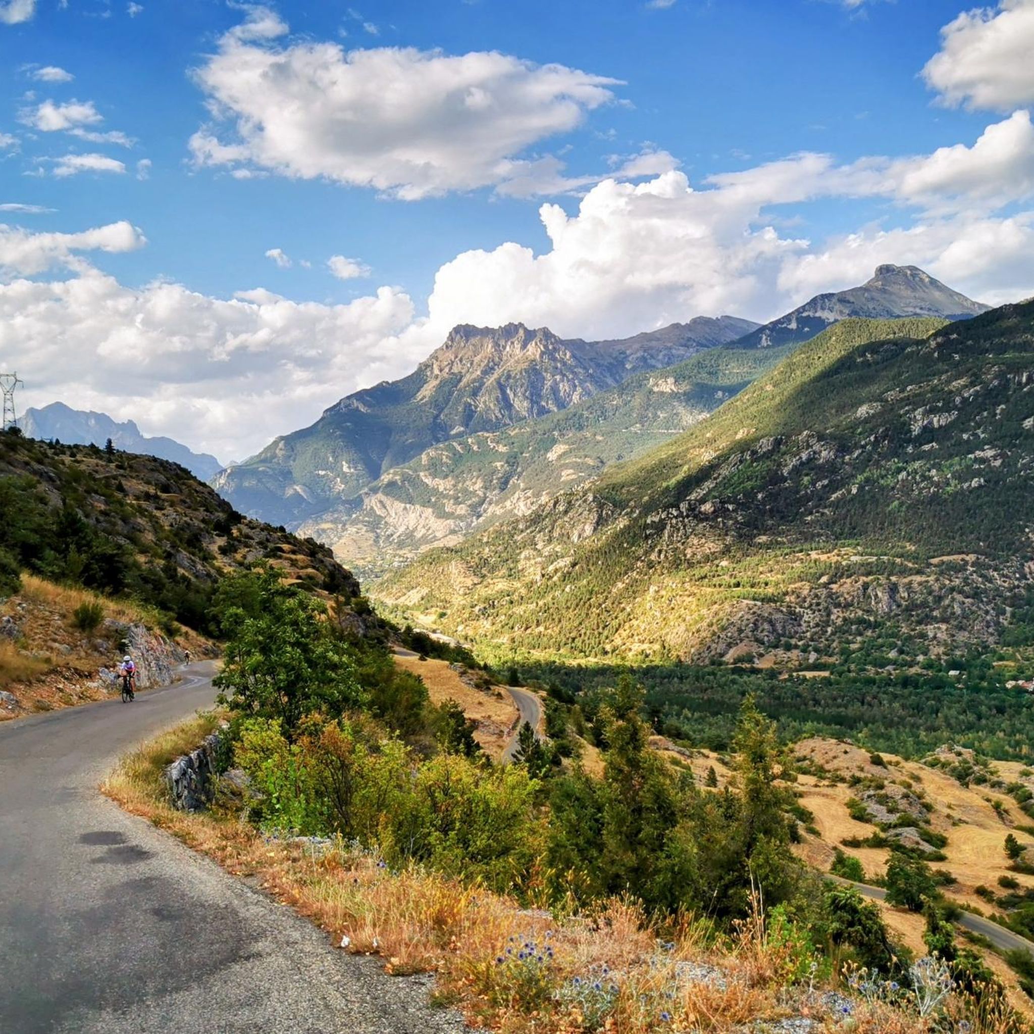
Col de la Pousterle
Highlight • Mountain Pass
Translated by Google •
Tip by

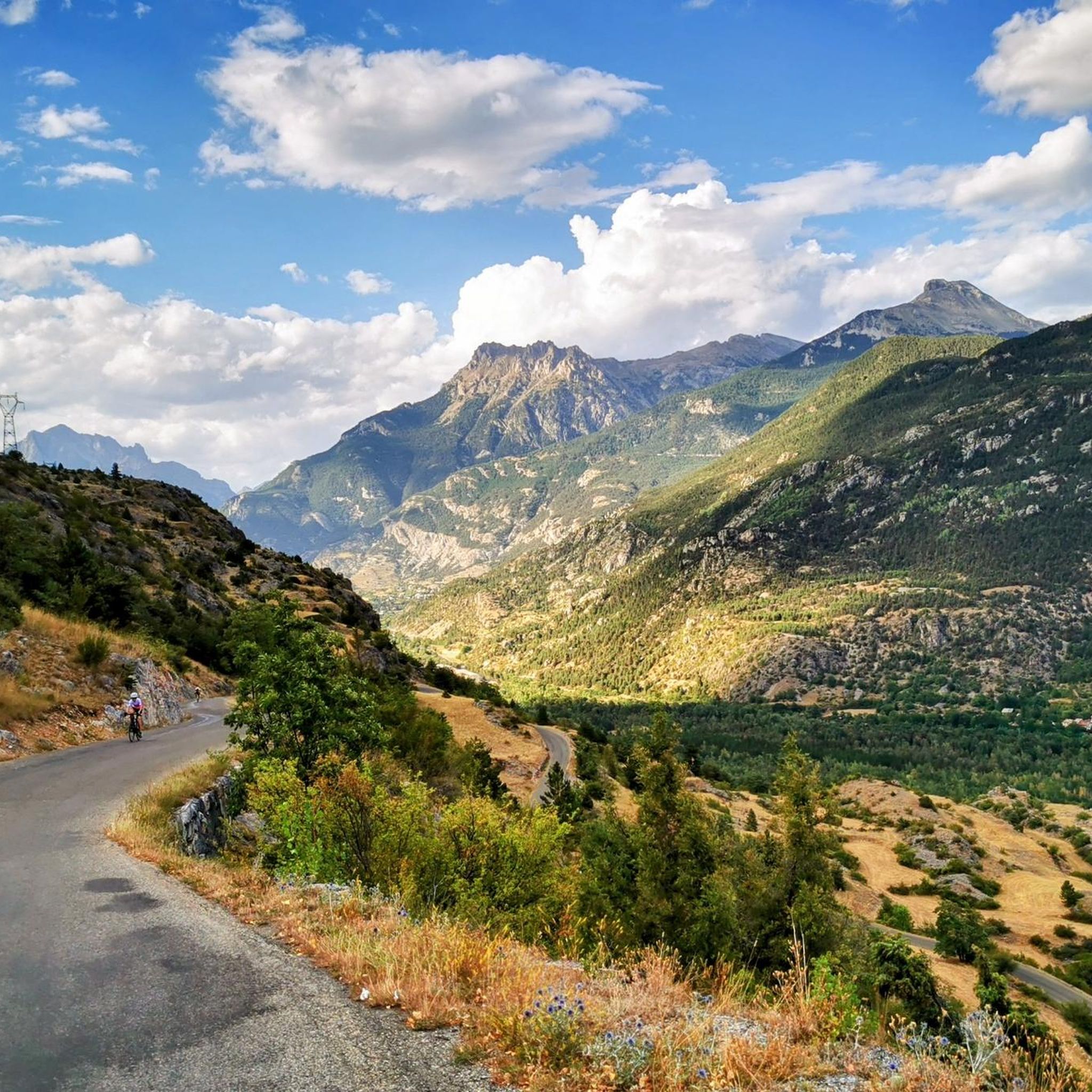
Ascent of the Col de Vars from Guillestre
Highlight (Segment) • Mountain Pass
Translated by Google •
Tip by

Sign up now to discover places like this
Get recommendations on the best single tracks, peaks, & plenty of other exciting outdoor places.
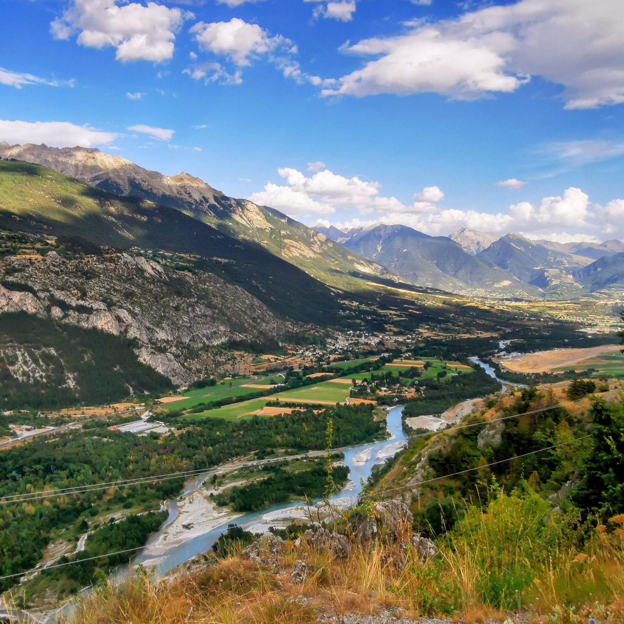
Col de Freissinières (2,787 m)
Highlight • Mountain Pass
Translated by Google •
Tip by

Col du Bal (2,601 m)
Highlight • Mountain Pass
Translated by Google •
Tip by

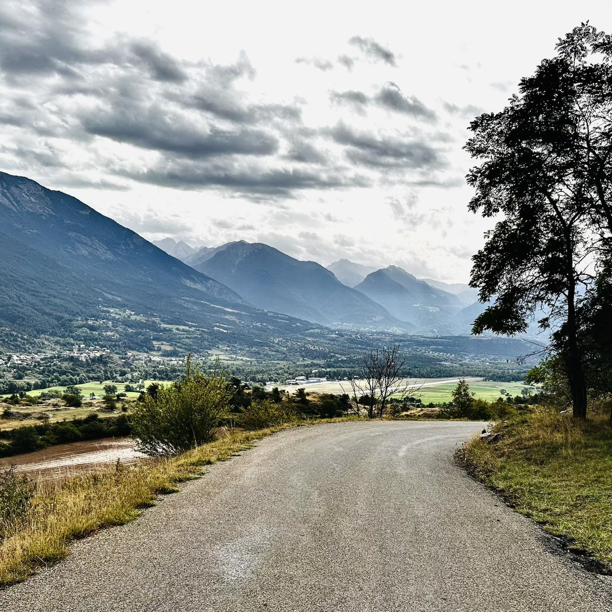
View Between Col de Furfande and Col Garnier
Highlight (Segment) • Viewpoint
Translated by Google •
Tip by

Sign up for free to discover even more mountain passes around Champcella.
Already have an account?
Start today with a free account
Your next adventure awaits.
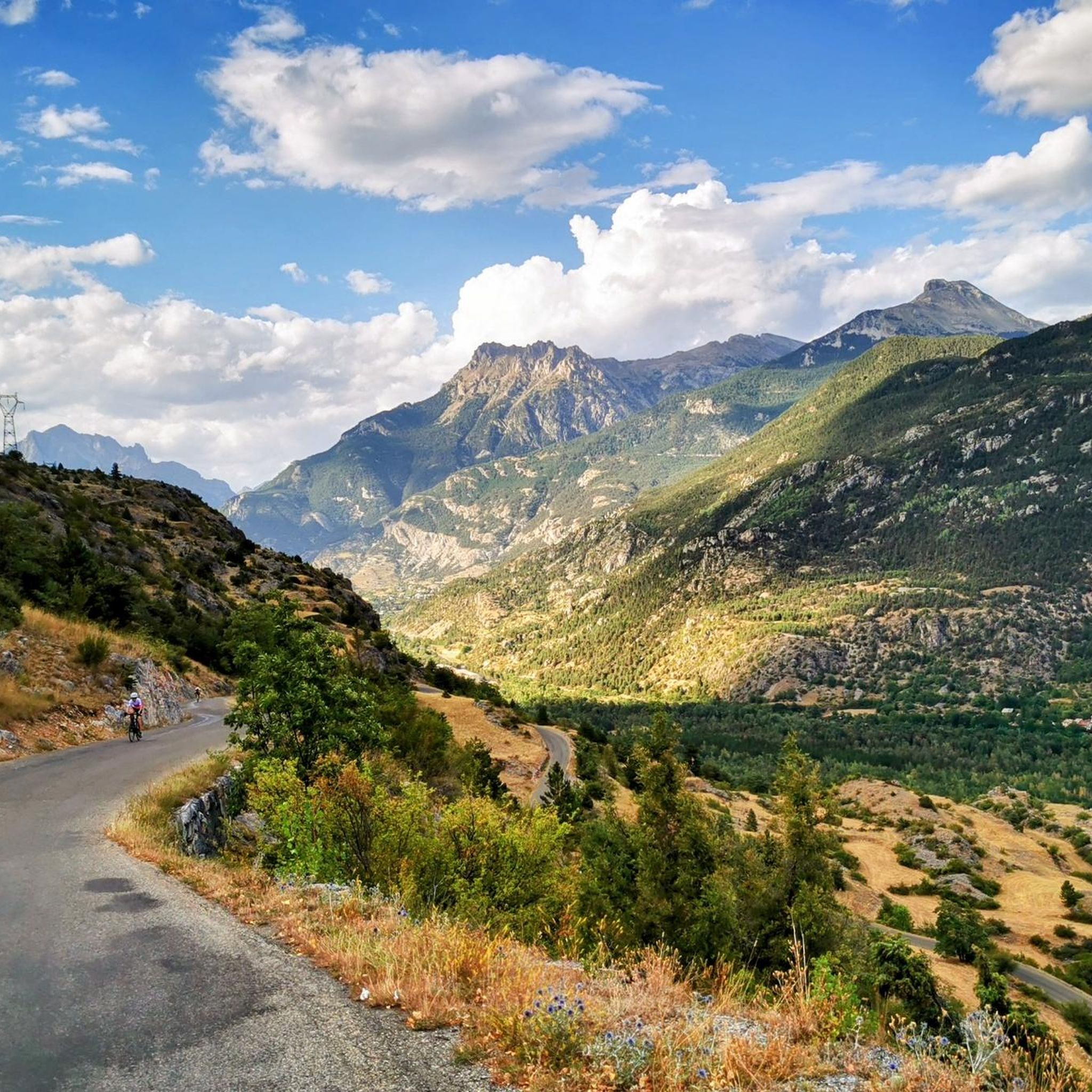

Tips from the Community

Beautiful plateau that is reached after a long climb with a beautiful view
0
0

Never too hard jump with exceptional views.
13
0

In the Greater Briançon region, the ascent of the Col de Vars from Guillestre is a first-category pass, 19 kilometers long, with an average gradient of 5.9%. Beware of steep sections that can reach 14%. A respite in the middle, however, at Saint-Marcellin, allows you to catch your breath.
2
0

Belvedere 200 meters from Col de Furfande going down towards the refuge
0
0

In Occitan, the pousterle is a small gate (a postern). It comes from the Latin posterula, which means the back door. This toponym sometimes refers to a pass, which is a gate between two valleys. Glaciers carved out this gate where an arm passed between the glacier that occupied the Fournel valley and the one that flowed into the Vallouise valley.
0
0

Col de la Pousterle, our home climb and place to have bbq's. Views over the Ecrins.
0
0

The pass offers a small wooded plateau from which many hikes and cross-country skiing or hiking trails start. A car park not far away as well as a refuge allow easy access. A rock bar has been converted into a climbing spot for the summer.
0
0

Col du Bal is a col at 2601 that leads you to the Crête de la Pendine. In winter, this col is a favorite with ski tourers, who cross here from the ski area of Puy Saint Vincent to descend into the Narreyroux valley.
0
1
Frequently Asked Questions
Which mountain passes around Champcella offer the most challenging experiences?
For experienced adventurers seeking a challenge, Col d'Anon and Col des Lauzes are featured in demanding mountain biking trails near Champcella, including a 31.7 km loop leading to Lac de Lauze within the Ecrins National Park. The Ascent of the Col de Vars from Guillestre is another challenging option, a first-category pass with steep sections reaching 14%.
Which mountain passes provide the best panoramic views?
The Col de Peyron is renowned for its magnificent panoramic views, allowing visitors to admire two valleys, three lakes, and the entire cirque. Similarly, Col de Freissinières (2,787 m) offers spectacular views of Lake Estaris, situated on the edge of the Ecrins National Park. Col de la Pousterle also provides impressive views over the Fournel Valley.
Are there mountain passes suitable for mountain biking or gravel biking?
Yes, several passes are excellent for biking. Col de la Pousterle is highly recommended for gravel biking and mountain biking, featuring unpaved climbs and a beautiful road surface. The Col de Peyron is part of the 'Lac du Lauzet – Peyron Pass loop,' a significant mountain biking route from Champcella. Additionally, Col d'Anon and Col des Lauzes are key features in challenging mountain biking trails.
What activities can I do at Col de Tramouillon?
Col de Tramouillon is a popular hiking destination, with routes winding through forests and opening to clearings at the pass. In winter, it transforms into a starting point for ski touring. A circular route from the village of Les Faures to Col de Tramouillon is particularly recommended.
Are there any mountain passes that are good for ski touring in winter?
Yes, Col de Tramouillon is a popular starting point for ski touring during the winter months. Additionally, Col du Bal (2,601 m) is a favorite with ski tourers who cross here from the ski area of Puy Saint Vincent to descend into the Narreyroux valley.
What kind of terrain can I expect on the mountain passes around Champcella?
The terrain around Champcella's mountain passes is diverse. You can expect routes through forests, unpaved climbs, and alpine vistas. Some passes, like Col de Tramouillon, feature forest paths, while others, such as Col de Peyron, offer open panoramic views of valleys and lakes. Challenging trails, like those around Col d'Anon and Col des Lauzes, include technical descents and alpine scenery.
What is the best time of year to visit the mountain passes near Champcella?
The best time to visit depends on your desired activity. Summer offers ideal conditions for hiking, mountain biking, and enjoying the panoramic views. For ski touring, the winter months are suitable. Always check local weather conditions before heading out, as mountain weather can change rapidly.
Are there circular routes that include mountain passes near Champcella?
Yes, the Col de Peyron is situated on a loop trail that leads to the Ascension lakes. The 'Lac du Lauzet – Peyron Pass loop' is also a significant mountain biking route starting from Champcella. For hikers, a circular route to Col de Tramouillon can begin from the village of Les Faures.
What outdoor activities can I do near these mountain passes?
Beyond exploring the passes themselves, the region offers a variety of outdoor activities. You can find numerous cycling routes, such as the 'Le Guil – Risoul loop' or the 'Lac Napoléon – Col de Vars loop.' For hikers, there are mountain hikes like the 'Palluel Lake loop.' You can explore more options on the Cycling around Champcella and Mountain Hikes around Champcella guide pages.
Are there any easy or family-friendly mountain passes for beginners or children?
While many passes offer challenging terrain, some routes provide more accessible sections. For instance, the return journey from Col de Peyron along the forest path can be less varied and potentially easier. When planning a family outing, look for shorter, well-maintained trails or consider the less technical sections of passes like Col de Tramouillon, which winds through forests. Always check specific route details for difficulty and elevation before starting.
What do visitors enjoy most about the mountain passes around Champcella?
Visitors consistently praise the stunning panoramic views, especially from passes like Col de Peyron and Col de Freissinières (2,787 m). The diverse terrain for hiking, mountain biking, and ski touring is also highly appreciated. Many enjoy the challenging climbs and rewarding descents, as well as the opportunity to explore the natural beauty of the Hautes-Alpes within the Ecrins National Park.
Most popular routes around Champcella
Most popular attractions around Champcella

Get inspired with the komoot mobile app


Explore more
See even more epic mountain passes by checking out these guides around Champcella:
