The best road cycling routes around Champcella
4.6
(340)
15,941
riders
58
rides
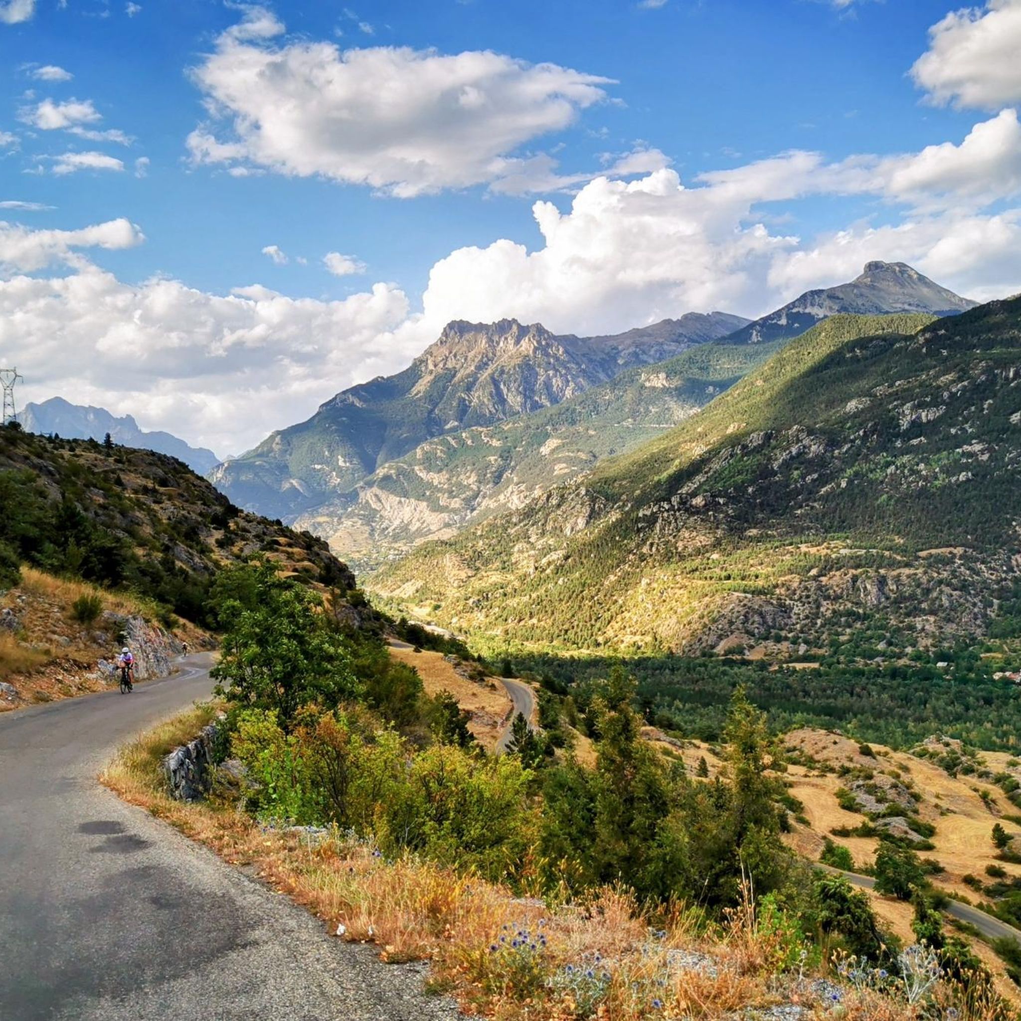
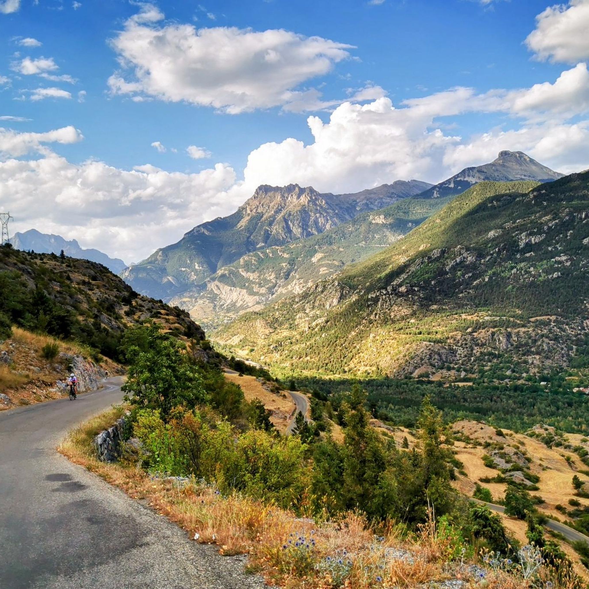
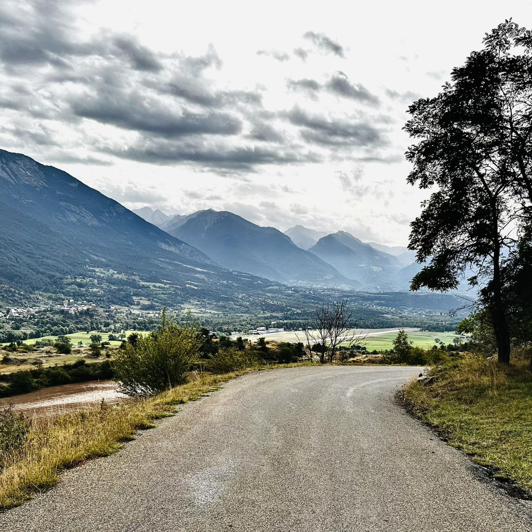
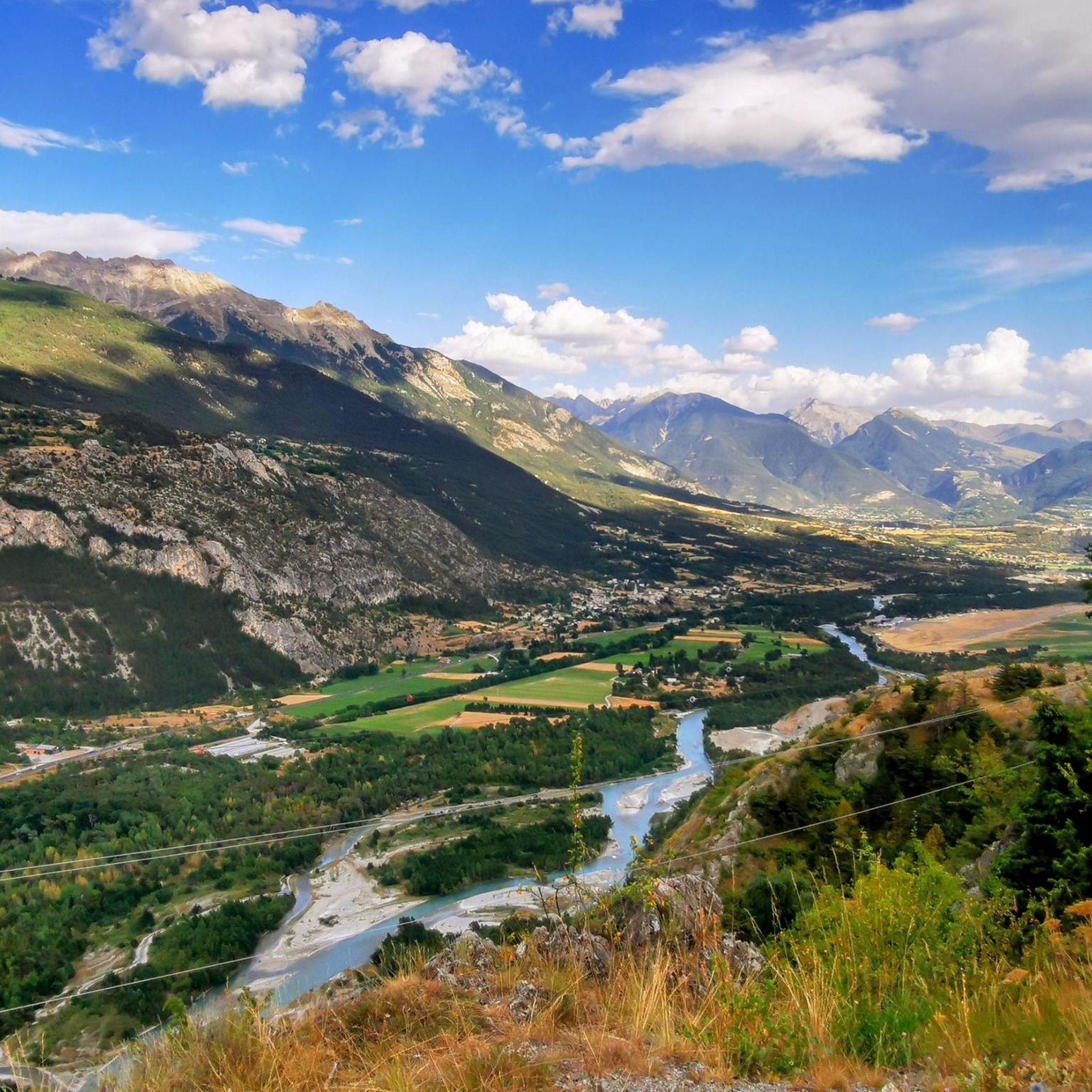
Road cycling routes around Champcella are set in the Hautes-Alpes department of southeastern France, offering diverse landscapes for cyclists. The region is characterized by a stepped landscape that transitions from the Durance river valley to mountain pastures, providing varied terrain. Cyclists can access routes near the Écrins National Park and challenge themselves on iconic Alpine passes in the broader Hautes-Alpes region.
Best road cycling routes around Champcella
- The most popular road cycling route is Climb to Le Chambon – Through…
Last updated: July 1, 2026
4.9
(20)
987
riders
90.6km
05:22
2,260m
2,260m
Hard road ride. Very good fitness required. Some segments of this route may be unpaved and difficult to ride.
4.6
(11)
621
riders
60.2km
03:30
1,440m
1,440m
Hard road ride. Very good fitness required. Mostly well-paved surfaces and easy to ride.

Sign up for free
4.3
(9)
437
riders
38.4km
02:32
1,170m
1,170m
Challenge yourself on this difficult 23.8-mile road cycling route around Le Mont Dauphin, a UNESCO World Heritage site, with stunning mounta
4.7
(32)
2,313
riders
160km
09:30
3,980m
3,980m
Hard road ride. Very good fitness required. Some segments of this route may be unpaved and difficult to ride.
4.9
(31)
1,423
riders
84.6km
05:20
2,410m
2,410m
Hard road ride. Very good fitness required. Mostly well-paved surfaces and easy to ride.
Get access to more routes and recommendations from other explorers.
Sign up for free
Already have an account?
Our route recommendations are based on thousands of hikes, rides, and runs completed by other people on komoot.
Start today with a free account
Your next adventure awaits.
Login or Signup

Tips from the Community

There are some tunnels, better to have lights on the bikes
0
0

Once you reach the top of this long climb you can enjoy the beauty of Risoul and its landscapes.
4
0
Small village within the beautiful Queyras park.
15
0
Very pretty town just after Briançon.
22
0
Nature created this incredible mountain.
17
0
Very pretty little village that you pass through on your way to the Izoard climb.
17
0
An almost fairytale passage, the Guil has carved the rock over millions of years.
14
0
Frequently Asked Questions
How many road cycling routes are available around Champcella?
The region offers over 60 road cycling routes, catering to various skill levels. You'll find 11 easy routes, 33 moderate, and 17 difficult options, ensuring there's something for every cyclist.
What kind of terrain can I expect when road cycling in Champcella?
Champcella's landscape is characterized by a 'stepped landscape' that transitions from the Durance river valley to mountain pastures. This means you'll encounter a mix of long uphill climbs, hairpin bends, and quiet, scenic roads, offering diverse challenges and views. The broader Hautes-Alpes region also provides access to iconic Alpine passes like Col du Lautaret and Col du Galibier for those seeking significant physical challenges.
Are there any notable natural features or landmarks to see along the road cycling routes?
Yes, the routes often provide views of the Durance river valley and lead towards the Massif des Écrins. You can also find routes that pass by natural attractions such as the Byasse Waterfall. For stunning views, consider routes near mountain passes like Col de la Pousterle or View Between Col de Furfande and Col Garnier. The region also features beautiful lakes such as Lac des Sirènes and Lake Orceyrette.
What do other road cyclists enjoy the most about road cycling in Champcella?
The area is highly rated by the komoot community, with an average score of 4.6 stars from over 370 reviews. Cyclists often praise the varied terrain, the stunning views of the Durance valley, and the proximity to the Écrins National Park, which offers a unique blend of natural beauty and challenging rides.
Are there any easy road cycling routes suitable for beginners or families?
Yes, Champcella offers 11 easy road cycling routes. A great option for a scenic and less strenuous ride is the Mur du Pallon – L'Argentière-la-Bessée loop from Champcella, which is an easy 10.9-mile (17.5 km) path. Another accessible route is the Mont-Dauphin – Through meadows and fields loop from Saint-Crépin, which is 20.8 km long.
Can I find long-distance or advanced road cycling routes near Champcella?
Absolutely. For those seeking a challenge, there are 17 difficult routes available. The broader Hautes-Alpes region, where Champcella is located, is famous for its legendary mountain passes like Col du Lautaret, Col du Galibier, and Col d'Izoard, which are frequently featured in the Tour de France. The 'Route des Grandes Alpes' also traverses this region, offering an unforgettable long-distance adventure.
Are there any circular road cycling routes around Champcella?
Many of the routes around Champcella are designed as loops, allowing you to start and finish in the same location. Examples include the popular Climb to Le Chambon – Through meadows and fields loop from Champcella and the Gravel in the Vallouise valley – Views of the Durance loop from L'Argentière-la-Bessée.
What is the best time of year for road cycling in Champcella?
The region benefits from generous sunshine and a southern climate. While specific seasonal advice isn't detailed, the spring, summer, and early autumn months are generally ideal for road cycling in the French Alps, offering pleasant temperatures and clear roads. Some high mountain passes may be closed due to snow in late autumn, winter, and early spring.
Are there any car-free cycling opportunities in the region?
Yes, the Hautes-Alpes region offers the 'Cols réservés' initiative, which transforms legendary roads into car-free cycling paths on specific mornings. This provides a unique opportunity to enjoy challenging climbs without motorized traffic, though specific dates and locations would need to be checked locally.
What kind of views can I expect on the road cycling routes?
Road cycling routes around Champcella offer diverse and stunning views. You can expect panoramas of the Durance river valley, glimpses of the Massif des Écrins, and vistas of traditional villages and mountain pastures. Higher routes and passes provide breathtaking views of sparkling glaciers and the vast Alpine landscape.
Are there any routes that pass through historical or cultural sites?
While the routes primarily focus on natural landscapes, Champcella itself has architectural heritage including old ovens, fountains, and the Saint-Laurent-de-Rame chapel. Nearby, you can explore the fortified town of Mont-Dauphin or the historic center of Embrun, which could be incorporated into a cycling day trip or visited post-ride.
Most popular routes around Champcella
Most popular attractions around Champcella

Get inspired with the komoot mobile app


Explore more
Browse the best Road cycling routes in other regions.
