The best mountain hikes in Forstmühler Forst
4.0
(2)
13
hikers
5
hikes
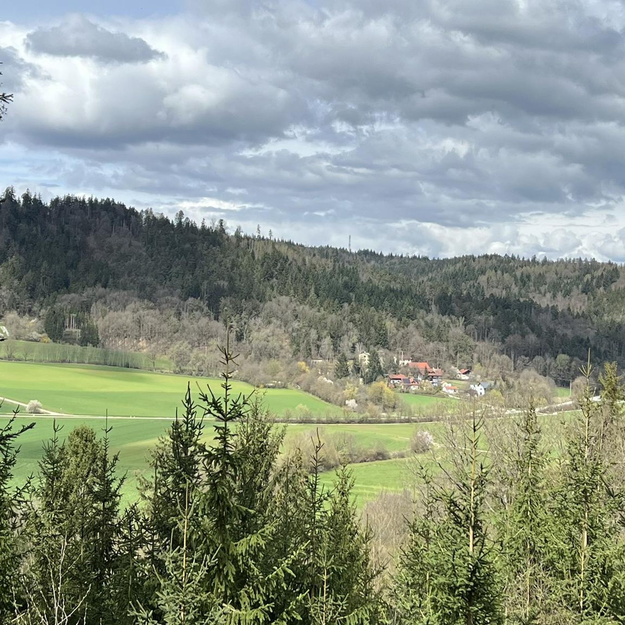
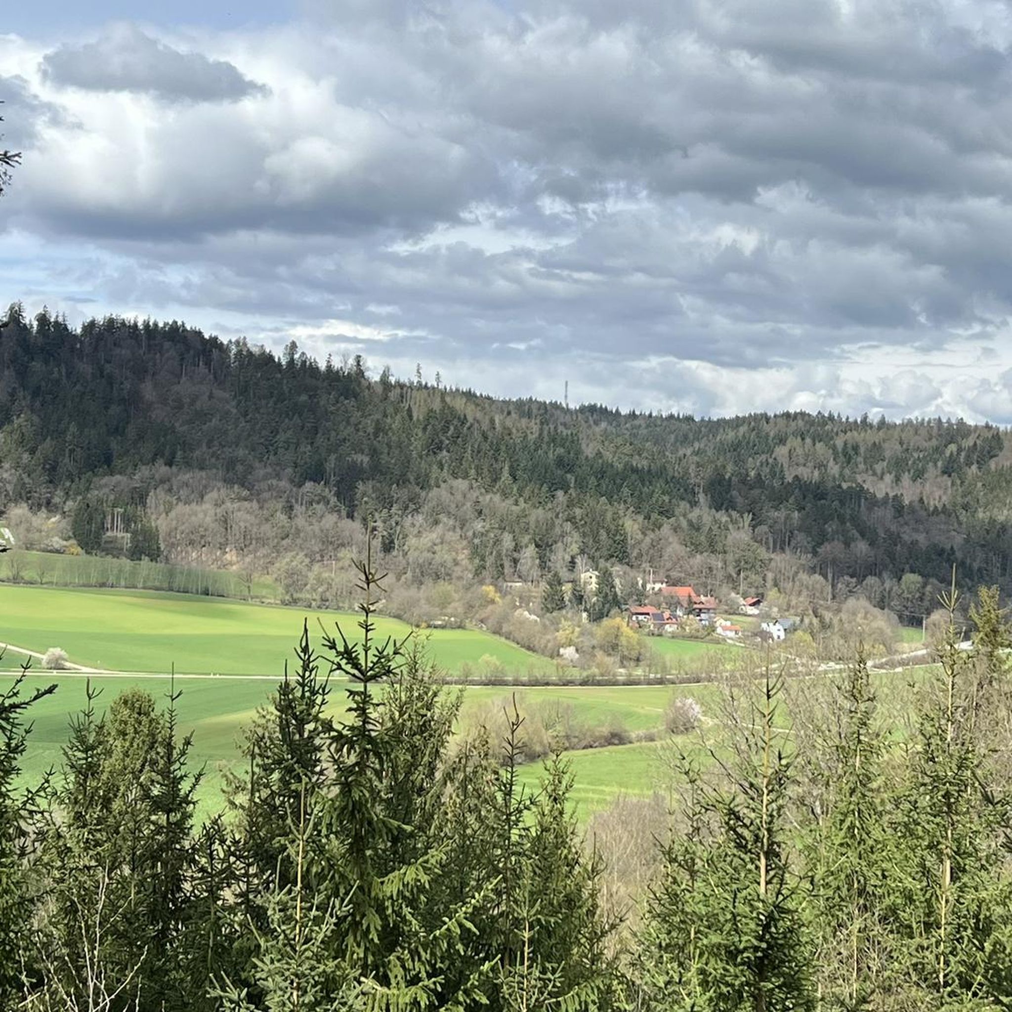
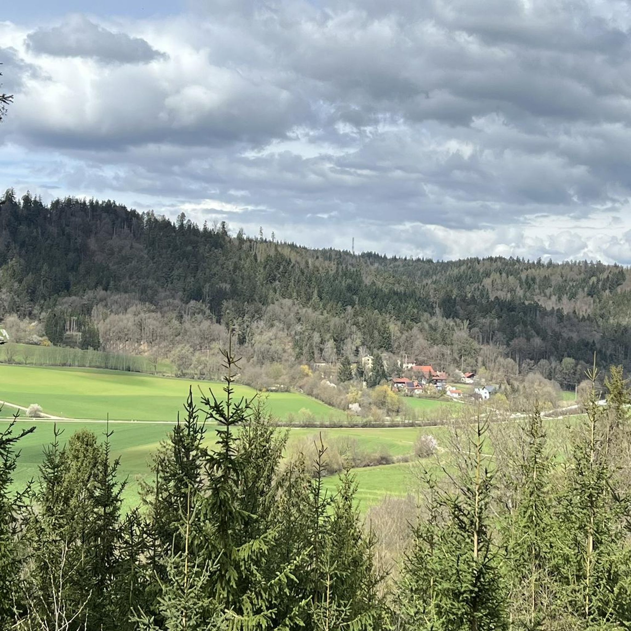
Mountaineering routes in Forstmühler Forst primarily traverse an extensive, predominantly wooded landscape in Bavaria, Germany. The region is characterized by undulating terrain, dense forests, and picturesque valleys like the Otterbach Valley, rather than high mountain peaks. While not suited for technical mountaineering, it offers a network of trails for challenging mountain hiking and nature exploration. Elevations are generally moderate, with the highest point being the Altweiberhöhe at 601 meters.
Best mountaineering routes in Forstmühler Forst
- The most popular mountaineering route…
Last updated: June 26, 2026
5.0
(1)
2
hikers
4.22km
01:11
70m
70m
Moderate mountaineering route. Great for any fitness level. Mostly accessible paths. Sure-footedness required.
4
hikers
9.81km
02:47
200m
200m
Moderate mountaineering route. Good fitness required. Mostly accessible paths. Sure-footedness required.

Sign up for free
3
hikers
10.0km
02:50
200m
200m
Moderate mountaineering route. Good fitness required. Mostly accessible paths. Sure-footedness required.
3.0
(1)
2
hikers
6.91km
02:04
210m
210m
Moderate mountaineering route. Good fitness required. Easily-accessible paths. Suitable for all skill levels.
2
hikers
3.65km
01:05
110m
110m
Easy mountaineering route. Great for any fitness level. Easily-accessible paths. Suitable for all skill levels.
Our route recommendations are based on thousands of hikes, rides, and runs completed by other people on komoot.
Start today with a free account
Your next adventure awaits.
Login or Signup
Tips from the Community

Hidden behind bushes & hedges... a real lost place!
4
0

There are two parking lots. One is a little higher up.
0
0

it's a dream here
0
1

A magnificent view of the Danube Valley and all the way to Regensburg. The geotrail also features an overview map and information panels with many explanations about the flora and fauna.
4
0
A magnificent view of the Danube Valley and all the way to Regensburg. There's also an overview map and information panels with many explanations about the flora and fauna along the Geotrail.
4
0

Perfect starting points for countless hikes
0
0
Beautiful surroundings, quiet location and great rock formations
1
1

Great view with a wide view
1
1
Frequently Asked Questions
What kind of hiking experience can I expect in Forstmühler Forst?
Forstmühler Forst offers a diverse hiking experience through extensive forests and undulating landscapes. While not suited for technical mountaineering, you'll find a network of trails perfect for challenging forest walks and nature exploration, with moderate elevations and picturesque valleys.
How many hiking routes are available in Forstmühler Forst?
There are 5 distinct hiking routes available in Forstmühler Forst, catering to various fitness levels. These include easy forest walks and more moderate mountain hikes.
Are there any easy routes suitable for beginners or families?
Yes, there is one easy route available. The Flowing trail – Dynamite Trail at Keilstein loop from Tegernheim is a 3.6 km trail that takes about 1 hour 5 minutes to complete, perfect for a relaxed outing.
What are some notable natural features or landmarks I can see along the routes?
Forstmühler Forst is rich in natural beauty. You can explore the scenic Otterbach Valley with its splashing streams, discover the discreetly located Face in the Rock, or find refreshing natural springs like the Kaltenbrunnen along certain paths.
Are there any viewpoints offering expansive vistas?
Yes, several routes feature viewpoints. For instance, the Hetzenbacher Höhe loop from Wald (VGem) offers expansive views across the surrounding forest landscape. The region research also mentions viewpoints along the Reitersteig and near Walhalla at Donaustauf.
Are the hiking trails in Forstmühler Forst circular?
Many of the routes in Forstmühler Forst are designed as circular trails, allowing you to start and end at the same point. Examples include the Höllbachtal Trail – Höllbach Wooden Bridge loop from Rettenbach and the Fellinger Berg – Marien Chapel in the dense forest loop from Tegernheim.
Is Forstmühler Forst suitable for hiking with dogs?
Yes, Forstmühler Forst is generally dog-friendly. Its extensive forest paths and natural environment provide a great setting for walks with your canine companion. Always ensure your dog is on a leash where required and respect local wildlife.
What do other hikers enjoy most about Forstmühler Forst?
The area is highly rated by the komoot community, with an average score of 4.0 stars. Hikers often praise the varied terrain, the peaceful forest atmosphere, and the picturesque valleys like the Otterbach Valley.
Are there any places to eat or drink near the trails?
Yes, the region offers some options. The Otterbach Valley Forest Inn (Der Korea Wirt) is a notable spot where you can find refreshments and meals after your hike.
What is the best time of year to visit Forstmühler Forst for hiking?
Forstmühler Forst is enjoyable year-round. Spring brings lush greenery, summer offers shaded forest paths, autumn showcases vibrant foliage, and winter provides a serene, quiet landscape. The best time depends on your preference for weather and scenery.
Are there any historical or cultural points of interest in the area?
Beyond natural beauty, you can find historical markers such as old boundary stones and 'Marterl' (votive pillars). The nearby Walhalla at Donaustauf, a classical temple with wide views over the Danube, is also a significant cultural attraction that can be combined with a visit to Forstmühler Forst.
What is the highest point in Forstmühler Forst?
The highest elevation within Forstmühler Forst is the Altweiberhöhe, reaching 601 meters. While not a towering peak, it offers a prominent point within the forest landscape.
Most popular routes in Forstmühler Forst
Most popular attractions in Forstmühler Forst

Get inspired with the komoot mobile app


Explore more
Browse the best Mountain Hikes & Routes in other regions.
