The best running trails in Forstmühler Forst
4.4
(591)
11,329
runners
568
runs
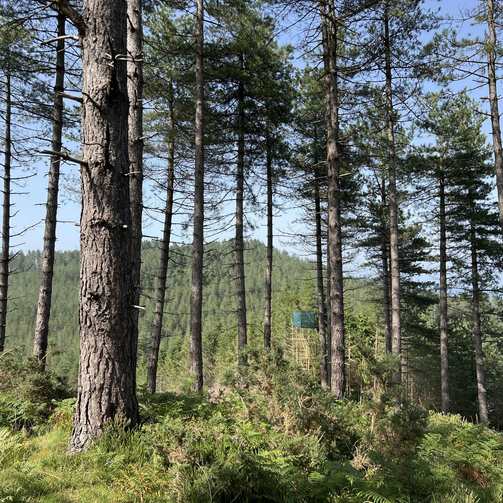
Jogging routes in Forstmühler Forst traverse extensive forested landscapes characterized by varied terrain and natural features. The region, primarily used for forestry, offers a network of paths suitable for different fitness levels, including forest paths and trails with varying elevations. The topography includes valleys, such as the Otterbachtal, and elevated sections, providing a dynamic running experience.
Best jogging routes in Forstmühler Forst
- The most popular jogging route is Unterlichtenwald – View of Hammermühle loop from Sulzbach an der Donau,…
Last updated: October 13, 2026
5.0
(2)
39
runners
17.8km
02:02
320m
320m
Hard run. Very good fitness required. Sure-footedness, sturdy shoes and alpine experience required.
5.0
(2)
26
runners
14.5km
01:39
280m
280m
Moderate run. Good fitness required. Mostly paved surfaces. Suitable for all skill levels.

5.0
(1)
9
runners
13.0km
01:27
280m
280m
Moderate run. Good fitness required. Mostly paved surfaces. Suitable for all skill levels.
9
runners
13.7km
01:30
110m
110m
Moderate run. Good fitness required. Mostly paved surfaces. Suitable for all skill levels.
9
runners
15.0km
01:34
30m
30m
Hard run. Very good fitness required. Mostly paved surfaces. Suitable for all skill levels.
Get access to more routes and recommendations from other explorers.
Already have an account?
Our route recommendations are based on thousands of hikes, rides, and runs completed by other people on komoot.
Start today with a free account
Your next adventure awaits.
Tips from the Community

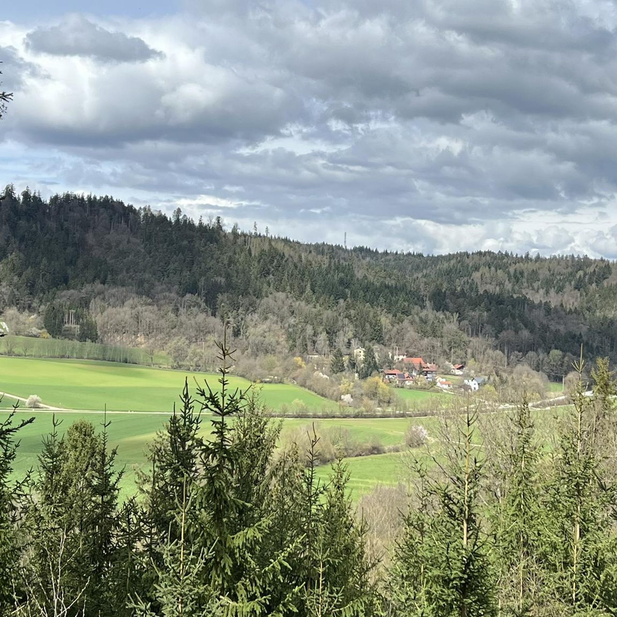
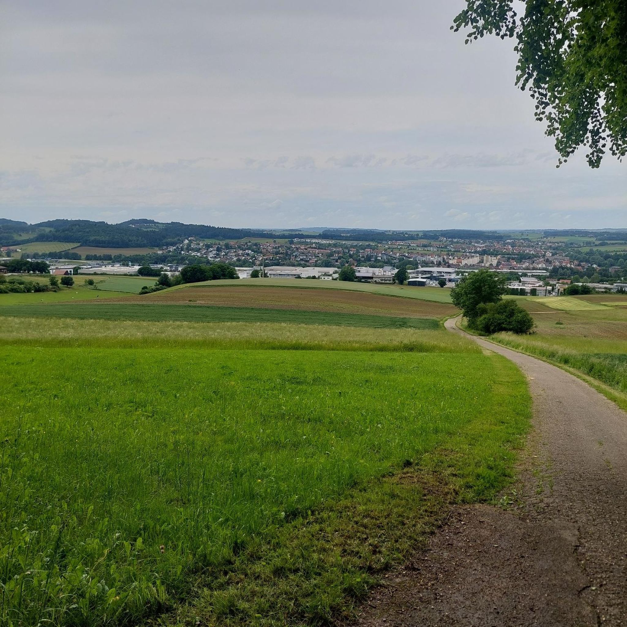
From above you have a great view of the Otterbach stream and the rock formations below.
1
0

The Otterbach The Otterbach originates in the church village of Süssenbach, in the municipality of Wald in the Chams district, at approximately 477 m above sea level, through the confluence of the Weismühlbach and Steinbach streams. From there, it flows steadily southwestward, initially also called the Süssenbach, in loops that are particularly wide at the beginning. After passing through about a dozen smaller villages in Wald, it crosses the border into the Regensburg district and enters the municipality of Altenthann, passing through the village of Forstmühle there, and then flows northwest past the large, unincorporated forest area of the Forstmühle Forest. It passes successively the Altenthann hamlet of Bruckhäusl on the left bank, its church village of Heuweg on the right bank and on the heights above the valley, the village of Oberlichtenwald, which is located on the same bank as the stream, and the village of Unterlichtenwald on the right bank of the estuary in the wide floodplain. There, the most important tributary, the Sulzbach, flows along the other side of the village. Its upper reaches, together with its own course, even exceed the length of the Otterbach main branch up to this point, but contribute about a quarter less to the catchment area. From there, the St. 2145 state road uses the valley. The valley now narrows again between steep forest slopes, and the Otterbach enters the territory of Markt Donaustauf, where it successively passes the isolated villages of Neumühle and Klammer on its banks. The valley then widens into a large field bay, where it flows between the hamlets of Hammermühle and Dachsberg. Before Scheuchenberg, the stream, which ultimately flows almost southward, deviates to the right and southwest, crosses the church village of Sulzbach an der Donau, flows under the St. 2125 state road, which follows the stream, and flows into the Danube on the left after 17 kilometers. A popular hiking trail runs along the stream between Forstmühle and Hammermühle. Source: Excerpts from www.wikipedia.de
2
0

It's really worth stopping by at Koreawirt 👍
0
0

The chapel can be found at the end of the Way of the Cross, which leads up from Sulzbach
1
1

Nice place on the way
0
1
Beautiful forest chapel on the way
0
1

Quiet, idyllic village that we only walked through.
0
1
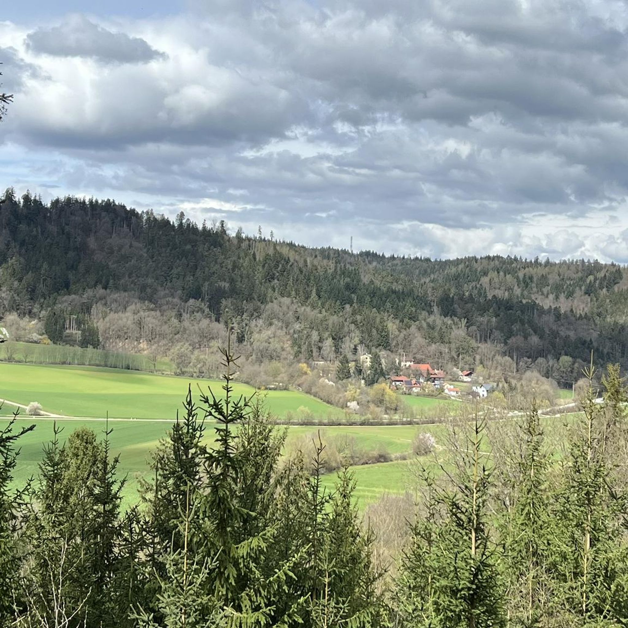
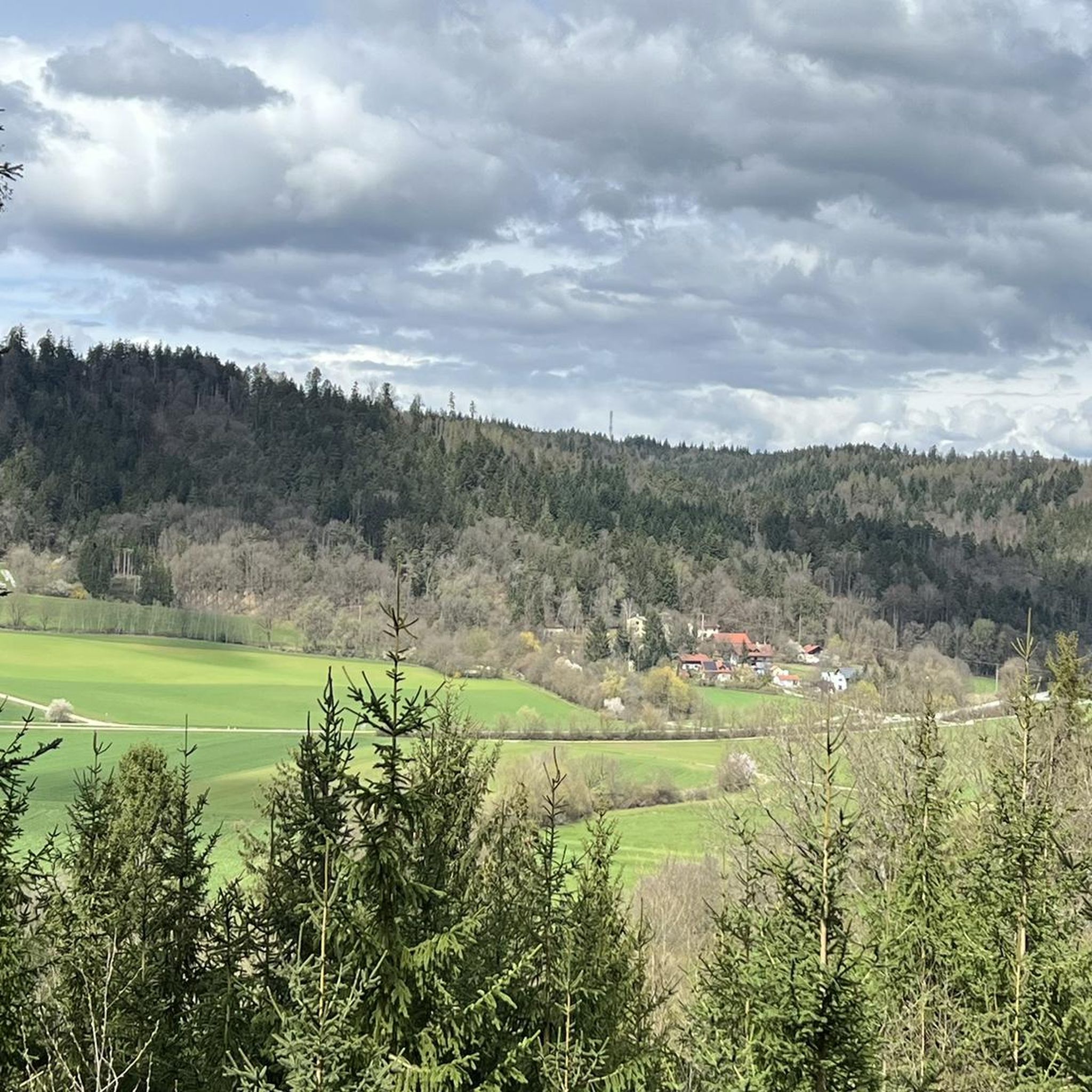
The view is worth a break or detour
3
0
Frequently Asked Questions
How many running routes are available in Forstmühler Forst?
Forstmühler Forst offers a wide selection of running routes, with over 580 different tours available. These range from easy paths to more challenging trails, ensuring options for various fitness levels.
What kind of terrain can I expect on the jogging trails in Forstmühler Forst?
The running trails in Forstmühler Forst primarily traverse extensive forested landscapes. You'll encounter varied terrain, including natural forest paths and sections with varying elevations, especially in areas like the Otterbachtal. The region's focus on forestry ensures a largely natural and undeveloped environment.
Are there any easy running routes suitable for beginners in Forstmühler Forst?
Yes, Forstmühler Forst has routes suitable for beginners. While many trails are moderate, there are approximately 57 easy routes available. These paths are generally well-maintained and cater to those looking for a less strenuous run.
What are some notable natural features or landmarks I might see while running?
Joggers can explore several natural features and landmarks. The scenic Otterbach Valley is a highlight, offering picturesque views. You might also encounter unique formations like the Face in the Rock or the Impressive Rock Formation. The region's dense woodlands themselves provide a serene backdrop.
Are there any running routes that offer scenic viewpoints?
Yes, some routes provide excellent views. From certain elevated locations, such as those near Walhalla, you can enjoy expansive views over the Danube River and the surrounding cultural landscape of forests and fields. The Danube cycle path near Demling is also noted as a viewpoint.
Are there any circular running routes in Forstmühler Forst?
Many of the running routes in Forstmühler Forst are designed as loops, offering circular experiences. For example, the moderate Unterlichtenwald – Otterbach Stream loop from Donaustauf (VGem) is a popular choice, exploring varied forest terrain around the Otterbach Stream.
Can I bring my dog on the running trails in Forstmühler Forst?
While specific regulations for dogs on every trail aren't detailed, the extensive forested landscapes and natural paths of Forstmühler Forst generally welcome dogs. It's always advisable to keep your dog on a leash, especially in areas with wildlife or near other visitors, and to clean up after them.
Are there any family-friendly jogging options in the area?
Forstmühler Forst offers paths suitable for various fitness levels, including easier routes that can be enjoyed by families. The diverse network of paths includes many that are 'easily passable,' making them suitable for a family outing. Consider routes with less elevation gain for a more relaxed experience.
What do other runners enjoy most about jogging in Forstmühler Forst?
The running experience in Forstmühler Forst is highly rated by the komoot community, with an average score of 4.5 stars from over 450 reviews. Runners often praise the dense woodlands, varied topography, and the scenic Otterbach Valley, appreciating the natural, untouched feel of the trails.
Are there places to eat or rest near the running routes?
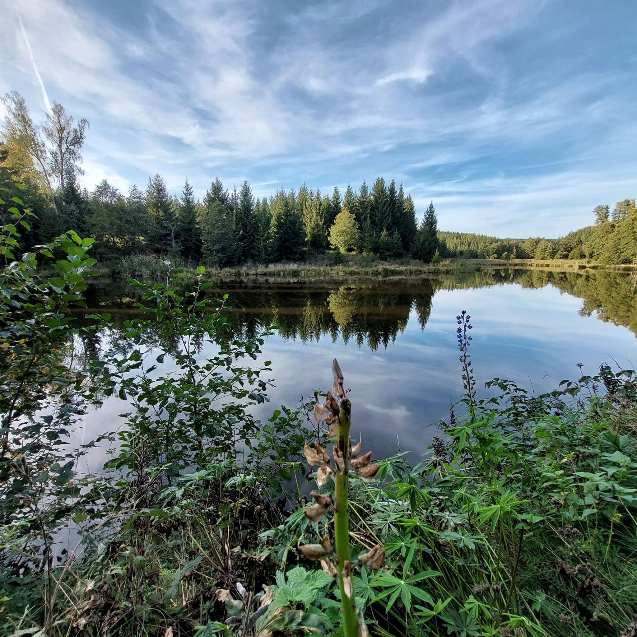
Yes, you can find spots to rest and refuel. The Otterbach Valley Forest Inn (Der Korea Wirt) is a charming forest restaurant with outdoor seating and a picturesque lake, providing a pleasant spot for a break during or after your run.
What is a good moderate running route to try in Forstmühler Forst?
A great moderate option is the Franz Josef Strauß Memorial – View of Hammermühle loop from Bach an der Donau. This 13.7 km route offers a balanced challenge with some elevation and takes you through scenic parts of the forest.
Are there any challenging routes for experienced runners?
Absolutely. For experienced runners seeking a challenge, the Unterlichtenwald – View of Hammermühle loop from Sulzbach an der Donau is a difficult 17.6 km trail with significant elevation gain through forested areas, typically taking over two hours to complete.
Most popular routes in Forstmühler Forst
Most popular attractions in Forstmühler Forst

Get inspired with the komoot mobile app


Explore more
Browse the best Running Trails & Routes in other regions.
