The best gravel rides around Condamine
4.5
(4)
29
riders
4
rides
Gravel biking around Condamine is characterized by its varied terrain, featuring plateaus, lakes, and mountain passes. The region offers a mix of forested paths and open landscapes, providing diverse conditions for gravel biking. Routes often include ascents and descents, with some trails reaching significant elevations. The landscape provides a range of surfaces suitable for gravel bikes.
Best gravel bike trails around Condamine
- The most popular gravel bike trail is Brenod plateau, a moderate 14.6 miles (23.4 km) trail that…
Last updated: July 3, 2026
4.5
(2)
4
riders
23.4km
01:53
300m
300m
Moderate gravel ride. Good fitness required. Mostly paved surfaces. Suitable for all skill levels.
4.5
(2)
13
riders
39.8km
02:48
760m
760m
Hard gravel ride. Very good fitness required. You may need to push your bike for some segments of this route.

Sign up for free
3
riders
34.0km
02:31
660m
660m
Hard gravel ride. Very good fitness required. You may need to push your bike for some segments of this route.
5
riders
105km
08:09
2,430m
2,430m
Hard gravel ride. Very good fitness required. Mostly paved surfaces. Suitable for all skill levels.
2
riders
36.8km
02:22
590m
590m
Hard gravel ride. Very good fitness required. Mostly paved surfaces. Suitable for all skill levels.
Our route recommendations are based on thousands of hikes, rides, and runs completed by other people on komoot.
Start today with a free account
Your next adventure awaits.
Login or Signup
Tips from the Community

The ruin is very beautiful, panels indicate the history of the site, very instructive! Calm and relaxing, the site offers a magnificent setting and allows for nice picnic breaks!
0
0
Magnificent brown ponds, calm and relaxing, a must-see stop!
0
0

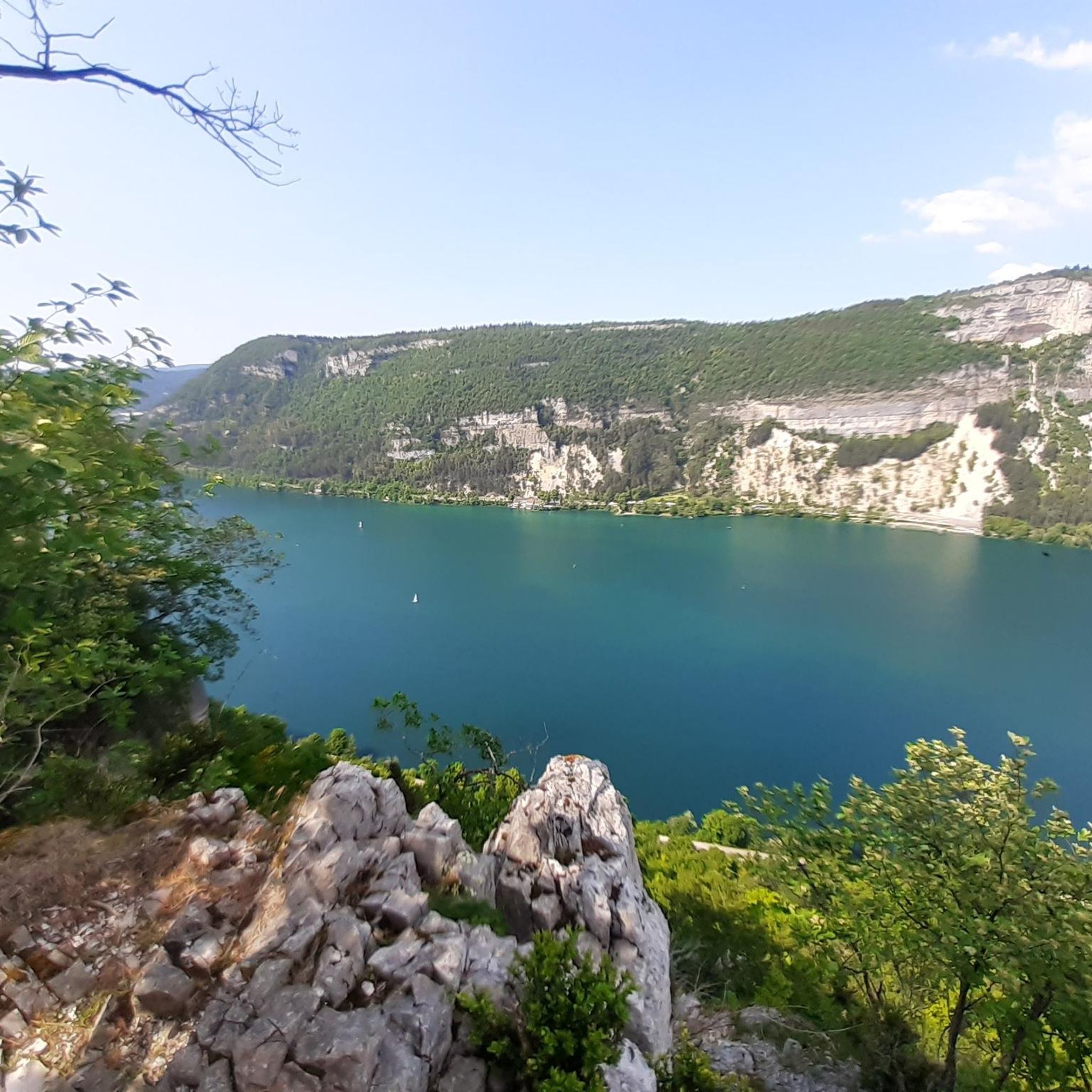
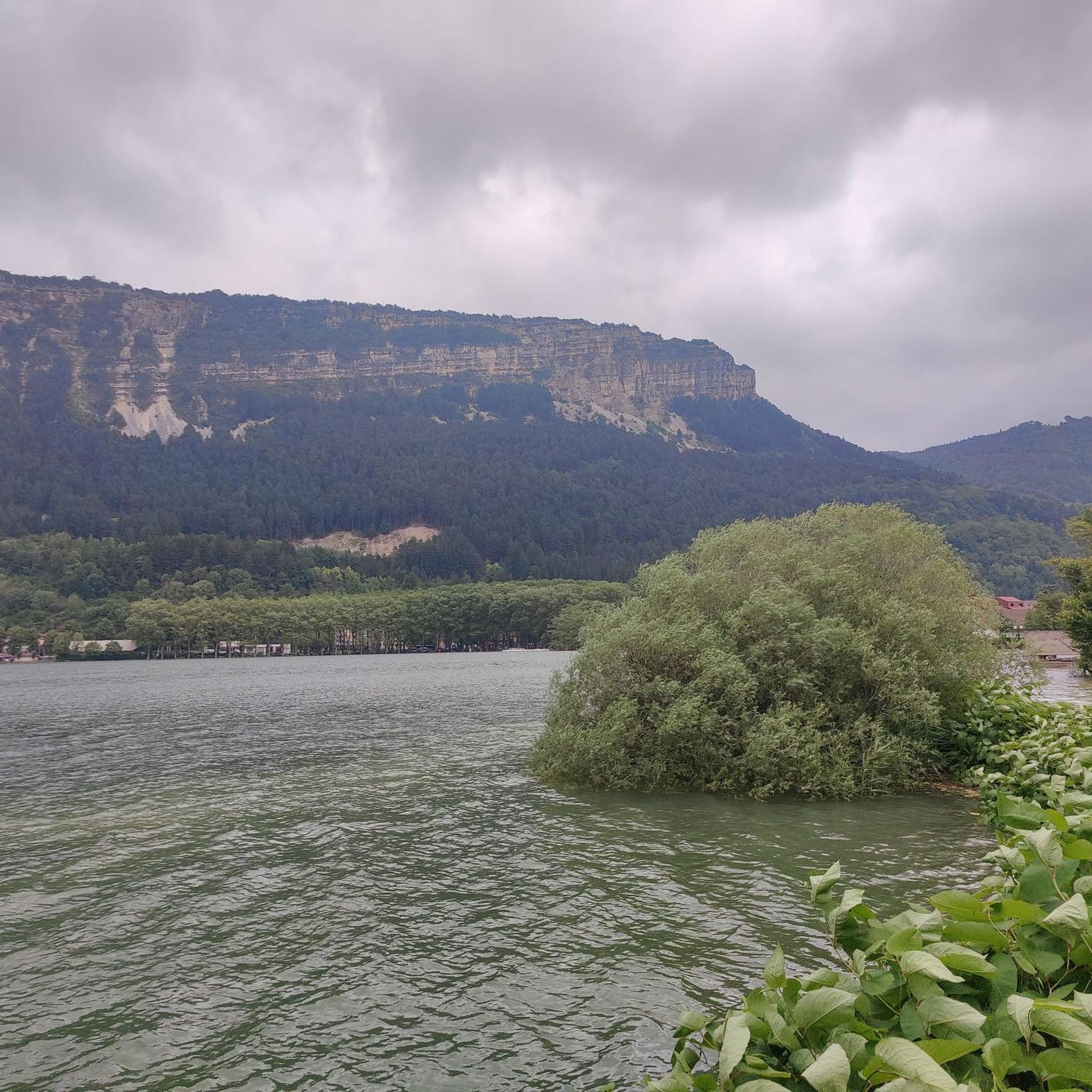
The Lac de Nantua is a superb body of water of 141 hectares. In the heart of the Jura, it offers an ideal setting for practicing a multitude of sports. It is even possible to swim in its waters.
1
0
The Peney viewpoint overlooks Lake Sylans, on which it offers a beautiful view. Classified since 1909, one can distinguish on its banks the ruins of the old ice factories which commercialized the ice extracted from the lake until 1917. The passage is located at the level of the tunnel of the same name.
0
0
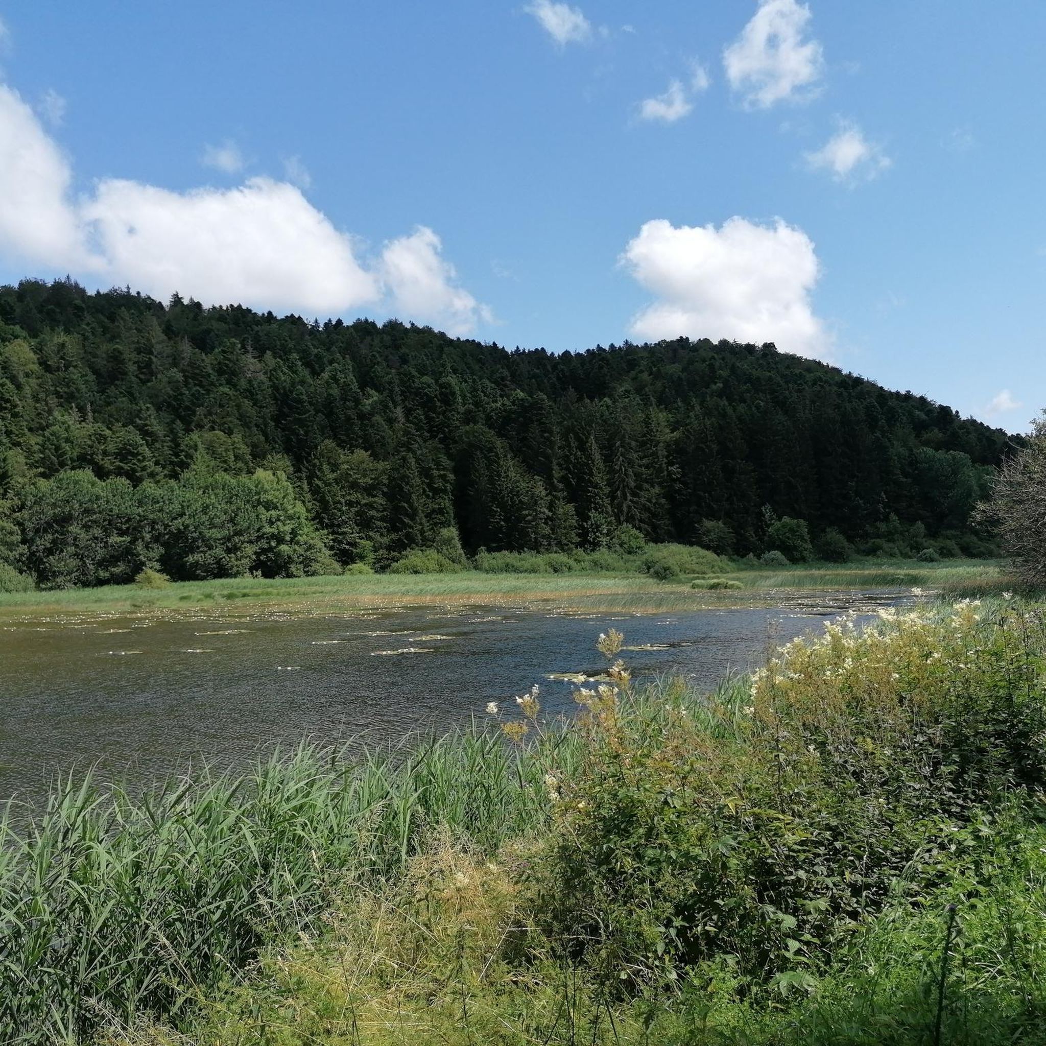
The Marron ponds are named after a family from Brénod, it is not a reference to the color of the water. Only one of them remains filled with water all year round. This one served as a water reserve and fishing spot for the monks of the Meyriat abbey. In spring, a multitude of water lilies cover the surface.
0
0

Nestled in pastures at an altitude of 1,000 meters, Giron is the highest (and sunniest!) village in the Ain. Welcoming, with breathtaking views, it is ideal for an overnight stop.
0
0
Beautiful, simple, easy walk; lots of traffic noise on the "road" section, a bit of a shame, but the color of the water is magical
1
0
Frequently Asked Questions
How difficult are the gravel bike trails around Condamine?
Gravel biking around Condamine offers a range of difficulties. While there are no easy routes listed, you'll find 1 moderate route and 5 difficult routes. The terrain often includes significant ascents and descents, with some trails reaching considerable elevations, making them suitable for riders with some experience.
Are there any beginner-friendly gravel routes in Condamine?
For those looking for a moderate challenge, the Brenod plateau route is a good option. It's a 14.6-mile (23.4 km) trail that explores open landscapes and is generally completed in under two hours, offering a less strenuous experience compared to the more difficult loops.
What are some challenging gravel routes for experienced riders in Condamine?
Experienced gravel bikers will find several challenging options. The Lake Nantua – Lac de Nantua loop from Brion - Montréal-la-Cluse is a difficult 27.9-mile (44.9 km) path with significant elevation changes. Another demanding option is the Col de Bérentin – Rochette Pass loop from Villes, which is a much longer 69-mile (111 km) route with over 2,500 meters of elevation gain.
Are there family-friendly gravel biking options in Condamine?
While most routes in Condamine are rated moderate to difficult, the Brenod plateau route is the most accessible, offering a moderate challenge over 14.6 miles (23.4 km). Families with older children or those comfortable with some climbing might find this enjoyable. Always check the route details for specific elevation and terrain before heading out.
What is the typical length of gravel bike routes in Condamine?
Gravel bike routes in Condamine vary significantly in length. You'll find routes ranging from moderate 14.6-mile (23.4 km) trails like the Brenod plateau to extensive difficult routes such as the Col de Bérentin – Rochette Pass loop from Villes, which spans over 69 miles (111 km).
Are there circular gravel bike routes available in Condamine?
Yes, many of the gravel bike routes around Condamine are designed as loops. Popular circular options include the Lake Nantua – View of Lake Nantua loop from Le Chateau, a 19.6-mile (31.6 km) trail, and the longer Lake Genin – Lake Nantua loop from Nurieux-Volognat, which covers about 38 miles (61.1 km).
What attractions or scenic viewpoints can I see along the gravel bike trails?
Many routes offer stunning views and pass by notable attractions. You can often enjoy views of Lake Nantua, a prominent feature in the region. Other natural highlights include the Cascade de la Fouge waterfall and the Cerdon Caves. Some trails also pass by the Col de Bérentin mountain pass.
When is the best time of year for gravel biking in Condamine?
The best time for gravel biking in Condamine is typically from spring through autumn (roughly April to October). During these months, the weather is generally milder, and trails are more accessible. The region's varied terrain, including plateaus and mountain passes, is best enjoyed when conditions are dry and temperatures are comfortable.
What are the conditions like for gravel biking in Condamine during winter?
Gravel biking in Condamine during winter can be challenging. The region's mountain passes and higher plateaus may experience snow and ice, making some trails impassable or requiring specialized equipment. Lower elevation routes might still be rideable, but expect colder temperatures and potentially wet or muddy conditions. Always check local weather and trail conditions before planning a winter ride.
What do other gravel bikers say about the trails in Condamine?
The gravel biking routes in Condamine are highly regarded by the komoot community, holding an average rating of 4.8 stars. Over 30 gravel bikers have explored the area using komoot, often praising the diverse terrain, from forested paths to open landscapes, and the scenic beauty of the lakes and mountain passes.
Where can I find parking for gravel bike trails near Condamine?
Specific parking information often varies by trailhead. For many routes, you can typically find parking in nearby villages or designated areas at the start of the trail. For detailed parking suggestions, it's best to check the individual tour pages on komoot, as users often share practical tips and starting points.
Most popular attractions around Condamine

Get inspired with the komoot mobile app


Explore more
Browse the best Gravel rides in other regions.
