The best gravel rides around Maillat
4.5
(4)
26
riders
5
rides
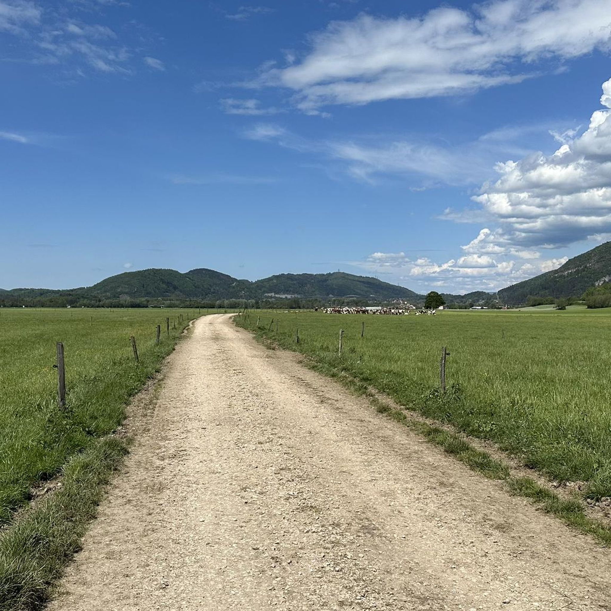
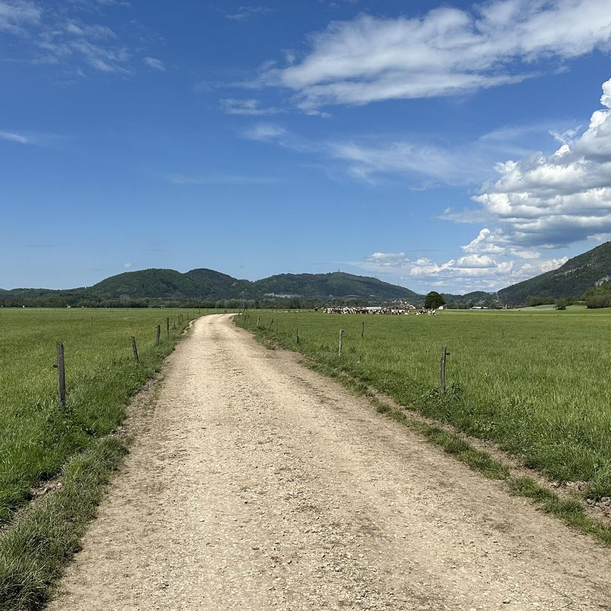
Gravel biking around Maillat offers diverse terrain within the Ain department of the Auvergne Rhône-Alpes region. The landscape features quiet roads, including sections of the Ain à Vélo cycle route along the Ain River, and unpaved dirt tracks. Cyclists can explore areas around Lake Nantua, known for its glacial waters and limestone cliffs, providing varied backdrops for rides. The region combines serene riverside paths with more rugged natural surroundings.
Best gravel bike trails around Maillat
- The most popular gravel bike…
Last updated: July 3, 2026
4.5
(2)
4
riders
23.4km
01:53
300m
300m
Moderate gravel ride. Good fitness required. Mostly paved surfaces. Suitable for all skill levels.
4.5
(2)
13
riders
39.8km
02:48
760m
760m
Hard gravel ride. Very good fitness required. You may need to push your bike for some segments of this route.

Sign up for free
3
riders
34.0km
02:31
660m
660m
Hard gravel ride. Very good fitness required. You may need to push your bike for some segments of this route.
4
riders
21.0km
01:30
350m
350m
Moderate gravel ride. Good fitness required. Mostly paved surfaces. Suitable for all skill levels.
2
riders
40.7km
02:52
770m
770m
Hard gravel ride. Very good fitness required. Mostly paved surfaces. Suitable for all skill levels.
Our route recommendations are based on thousands of hikes, rides, and runs completed by other people on komoot.
Start today with a free account
Your next adventure awaits.
Login or Signup
Tips from the Community

The ruin is very beautiful, panels indicate the history of the site, very instructive! Calm and relaxing, the site offers a magnificent setting and allows for nice picnic breaks!
0
0
Magnificent brown ponds, calm and relaxing, a must-see stop!
0
0

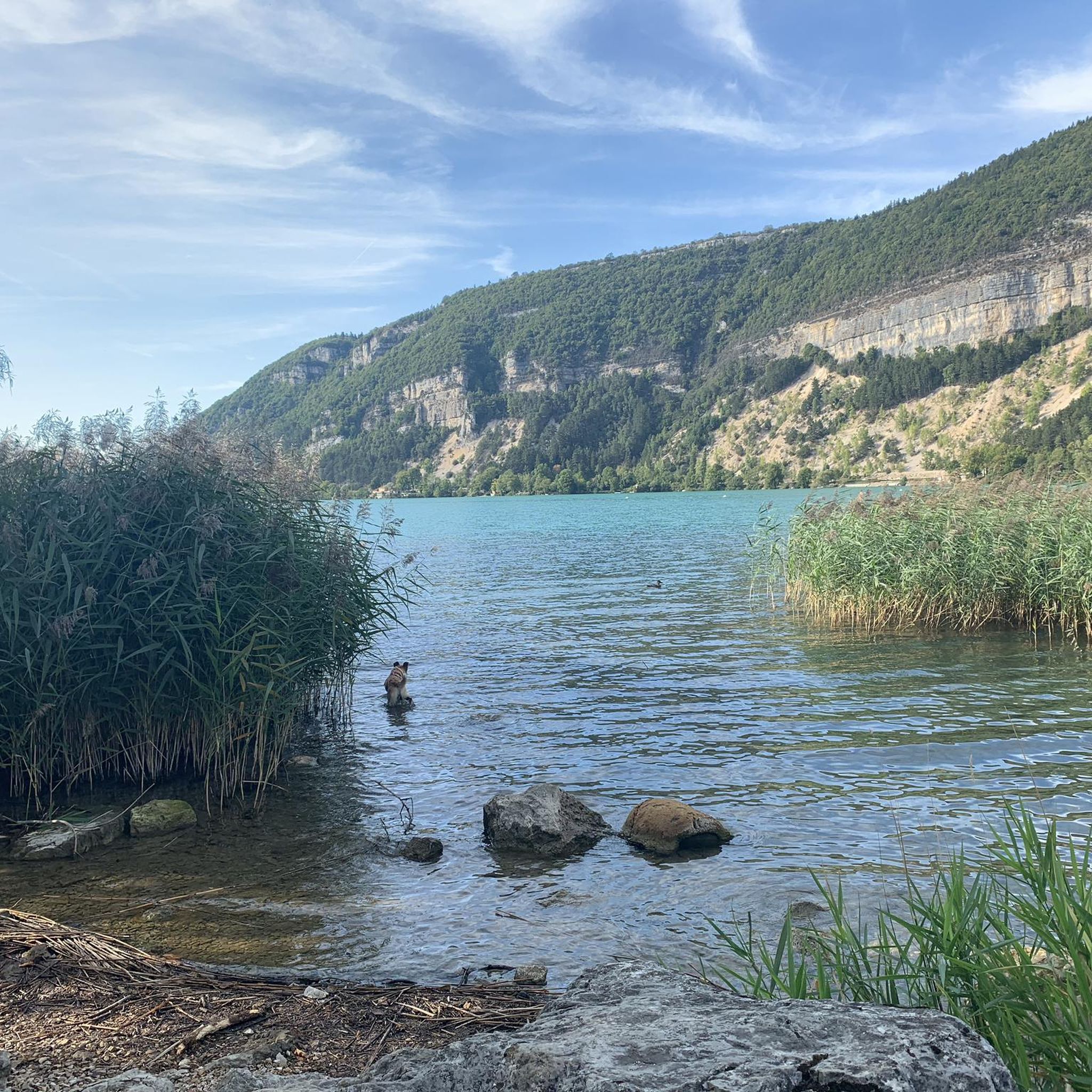
The Lac de Nantua is a superb body of water of 141 hectares. In the heart of the Jura, it offers an ideal setting for practicing a multitude of sports. It is even possible to swim in its waters.
1
0
The Peney viewpoint overlooks Lake Sylans, on which it offers a beautiful view. Classified since 1909, one can distinguish on its banks the ruins of the old ice factories which commercialized the ice extracted from the lake until 1917. The passage is located at the level of the tunnel of the same name.
0
0
The Marron ponds are named after a family from Brénod, it is not a reference to the color of the water. Only one of them remains filled with water all year round. This one served as a water reserve and fishing spot for the monks of the Meyriat abbey. In spring, a multitude of water lilies cover the surface.
0
0
Beautiful, simple, easy walk; lots of traffic noise on the "road" section, a bit of a shame, but the color of the water is magical
1
0

My phone was dead, and the tour was 38 km long with 1,100 meters of elevation gain. The terrain was very wet and snowy. In dry weather, the hike must be even more enjoyable, but you need to be in good physical condition; there are some really nice sections with beautiful views.
0
0
Frequently Asked Questions
What kind of terrain can I expect on gravel bike trails around Maillat?
Gravel biking around Maillat offers a mix of quiet paved roads, including sections of the Ain à Vélo cycle route along the Ain River, and unpaved dirt tracks. You'll encounter varied landscapes, from serene riverside paths to more rugged natural surroundings and areas with limestone cliffs, particularly around Lake Nantua.
Are there any easy or beginner-friendly gravel bike routes in Maillat?
While many routes offer a moderate to difficult challenge, you can find options suitable for varying skill levels. For example, the Brenod plateau route is rated as moderate and provides a good mix of terrain without being overly strenuous.
Can I find challenging gravel bike routes with significant elevation around Maillat?
Yes, Maillat offers several challenging routes with notable elevation gains. For instance, the Lake Nantua – Lac de Nantua loop from Brion - Montréal-la-Cluse is rated difficult with over 690 meters of elevation gain, offering stunning views of the lake and its surrounding cliffs. Another demanding option is the Lake Genin – Lake Nantua loop from Nurieux-Volognat, which features over 870 meters of ascent.
What natural attractions or viewpoints can I see along the gravel bike trails?
Many routes offer scenic views, especially around Lake Nantua, known for its striking glacial waters and limestone cliffs. You might also encounter the tranquil Ain River and rugged areas like the Jarbonnet Rocks, which offer a naturally beautiful landscape. For a specific natural monument, consider visiting the Cascade de la Pisse Vache.
Are there any circular gravel bike routes available in the Maillat area?
Yes, many of the gravel routes around Maillat are designed as loops. Examples include the challenging Lake Nantua – Lac de Nantua loop from Brion - Montréal-la-Cluse, the scenic Lake Nantua – View of Lake Nantua loop from Le Chateau, and the Poncin — Medieval Village – View of the Viaduc de Poncin loop from Poncin.
What do other gravel bikers enjoy most about the trails in Maillat?
The gravel biking routes in Maillat are highly rated by the komoot community, with an average score of 4.8 stars from over 3 reviews. Cyclists often praise the diverse terrain, the serene riverside paths, and the striking beauty of Lake Nantua and its surrounding natural features.
Are there any family-friendly gravel biking options near Maillat?
While specific 'family-friendly' routes are not explicitly detailed, the region's quiet roads and sections of the Ain à Vélo cycle route along the Ain River could offer more relaxed options suitable for families. Look for routes described as moderate, which typically have less extreme elevation changes.
Is it possible to find cafes or restaurants near the gravel bike trails in Maillat?
Maillat and its surrounding villages offer local amenities where you can find cafes and restaurants. While specific establishments along the trails are not listed, towns like Poncin, which is a starting point for the Poncin — Medieval Village – View of the Viaduc de Poncin loop from Poncin, would have options for refreshments.
What is the best time of year for gravel biking in Maillat?
The region is generally appealing for outdoor activities due to its diverse landscapes. Spring and autumn typically offer pleasant temperatures and beautiful scenery, ideal for gravel biking. Summer can also be enjoyable, though it might be warmer. Winter conditions could include colder temperatures and potentially snow, especially at higher elevations.
Are there any specific regulations for cycling on forest roads or trails in the Ain department?
The Ain department, like other regions in France, generally allows cycling on designated paths and forest roads. However, it's always advisable to respect local signage, private property, and any specific regulations for protected natural areas. No special permits are typically required for recreational cycling on public trails.
Where can I park my car when starting a gravel bike ride in Maillat?
While specific parking locations are not detailed for every trailhead, starting points in or near villages like Maillat, Poncin, or Brion - Montréal-la-Cluse typically offer public parking facilities. It's recommended to check local maps or komoot tour details for parking suggestions at your chosen starting point.
Can I access gravel bike trails in Maillat using public transport with my bike?
Public transport options in the Ain department may vary. While some regional buses or trains might accommodate bikes, it's essential to check the specific policies and schedules of local transport providers in advance. Larger towns near Maillat, such as Nantua, might have better public transport connections.
Most popular attractions around Maillat

Get inspired with the komoot mobile app


Explore more
Browse the best Gravel rides in other regions.
