The best gravel rides around Charix
4.2
(5)
43
riders
12
rides
Gravel biking around Charix features routes that navigate a landscape characterized by plateaus, passes, and the vicinity of Lake Nantua. The terrain often includes significant elevation changes, indicative of a region with hills and varied natural features. These gravel bike trails provide opportunities to explore both open areas and more sheltered sections. The area offers challenging routes for experienced gravel cyclists.
Best gravel bike trails around Charix
- The most popular gravel bike trail is Plateau de Retord – Terments Cross…
Last updated: July 2, 2026
4.5
(2)
13
riders
39.8km
02:48
760m
760m
Hard gravel ride. Very good fitness required. You may need to push your bike for some segments of this route.
5.0
(2)
12
riders
24.1km
02:06
480m
480m
Hard gravel ride. Very good fitness required. Mostly paved surfaces. Suitable for all skill levels.

Sign up for free
8
riders
90.7km
07:15
2,270m
2,270m
Hard gravel ride. Very good fitness required. Mostly paved surfaces. Suitable for all skill levels.
3.0
(1)
8
riders
133km
10:05
2,840m
2,840m
Hard gravel ride. Very good fitness required. Mostly paved surfaces. Suitable for all skill levels.
1
riders
73.1km
05:40
1,750m
1,760m
Hard gravel ride. Very good fitness required. You may need to push your bike for some segments of this route.
Get access to more routes and recommendations from other explorers.
Sign up for free
Already have an account?
Our route recommendations are based on thousands of hikes, rides, and runs completed by other people on komoot.
Start today with a free account
Your next adventure awaits.
Login or Signup
Other adventures around Charix

Tips from the Community

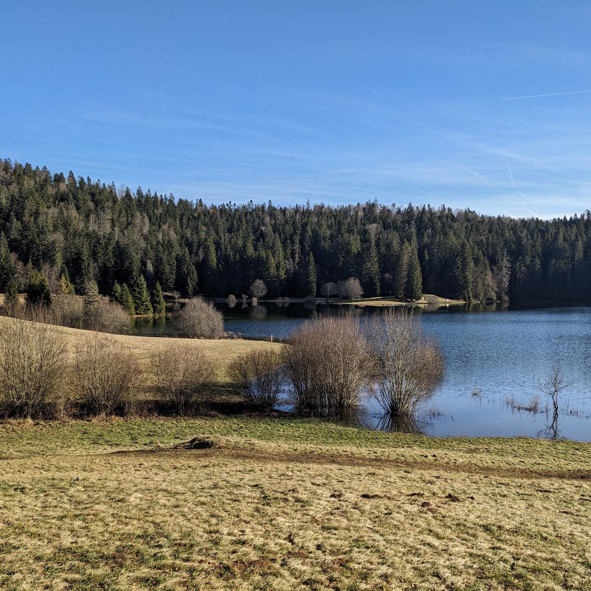
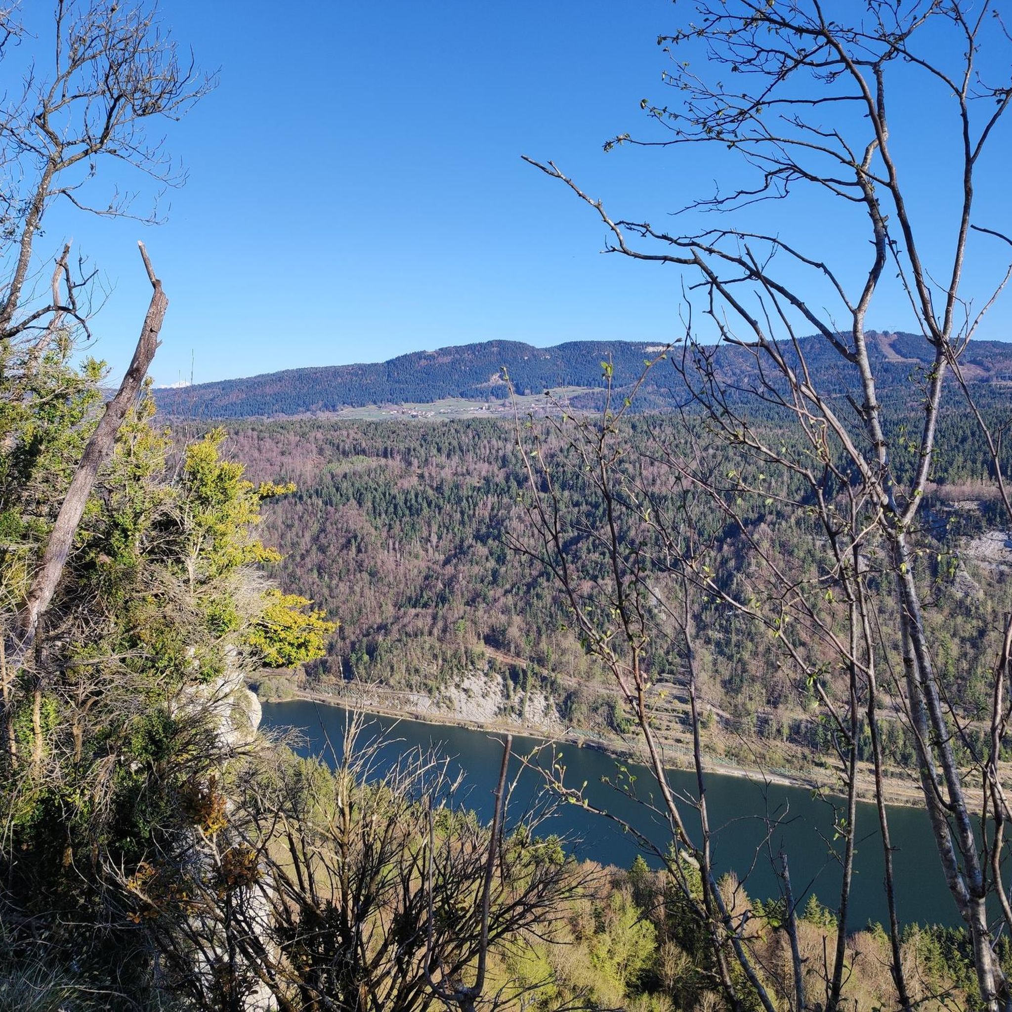
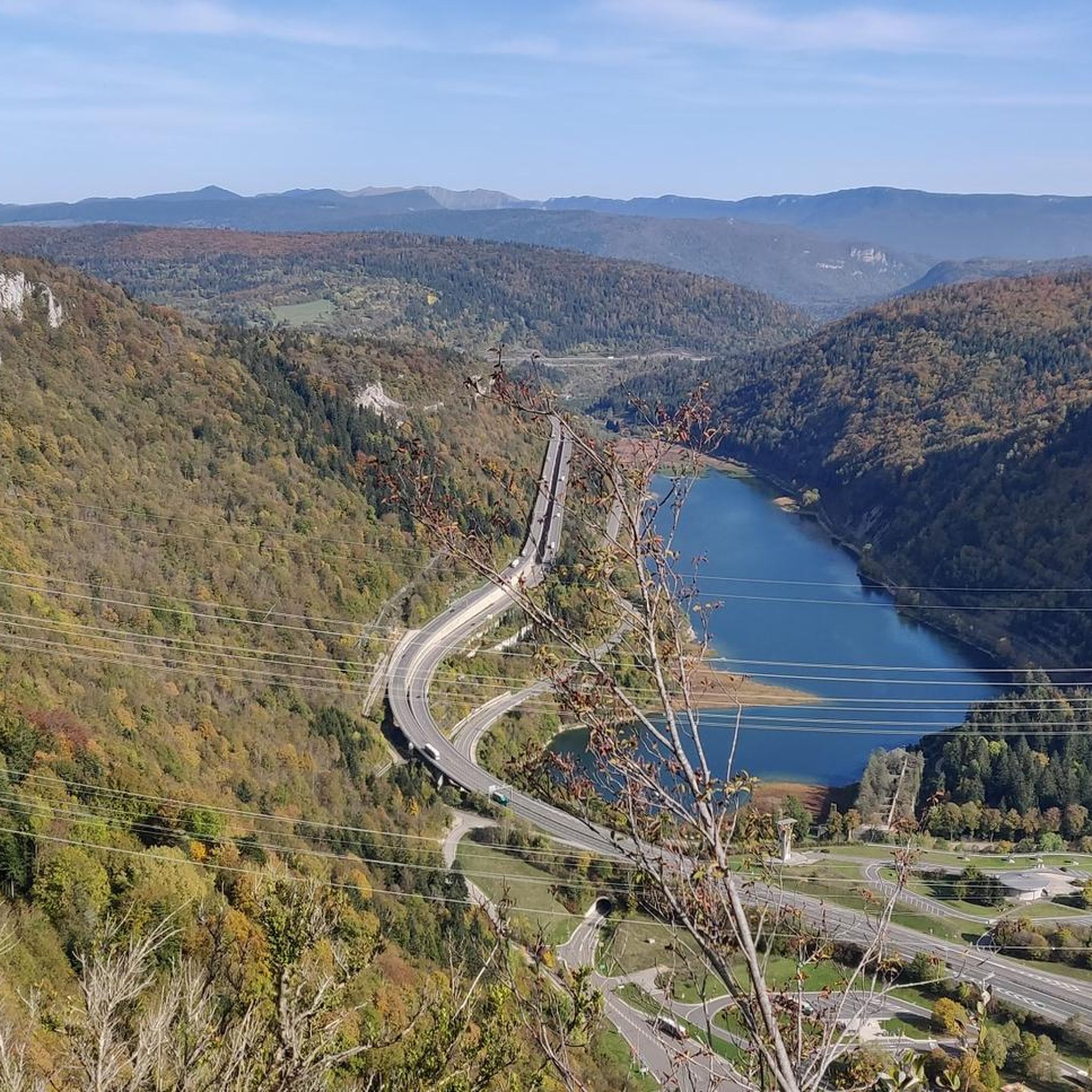
The Lac de Nantua is a superb body of water of 141 hectares. In the heart of the Jura, it offers an ideal setting for practicing a multitude of sports. It is even possible to swim in its waters.
1
0
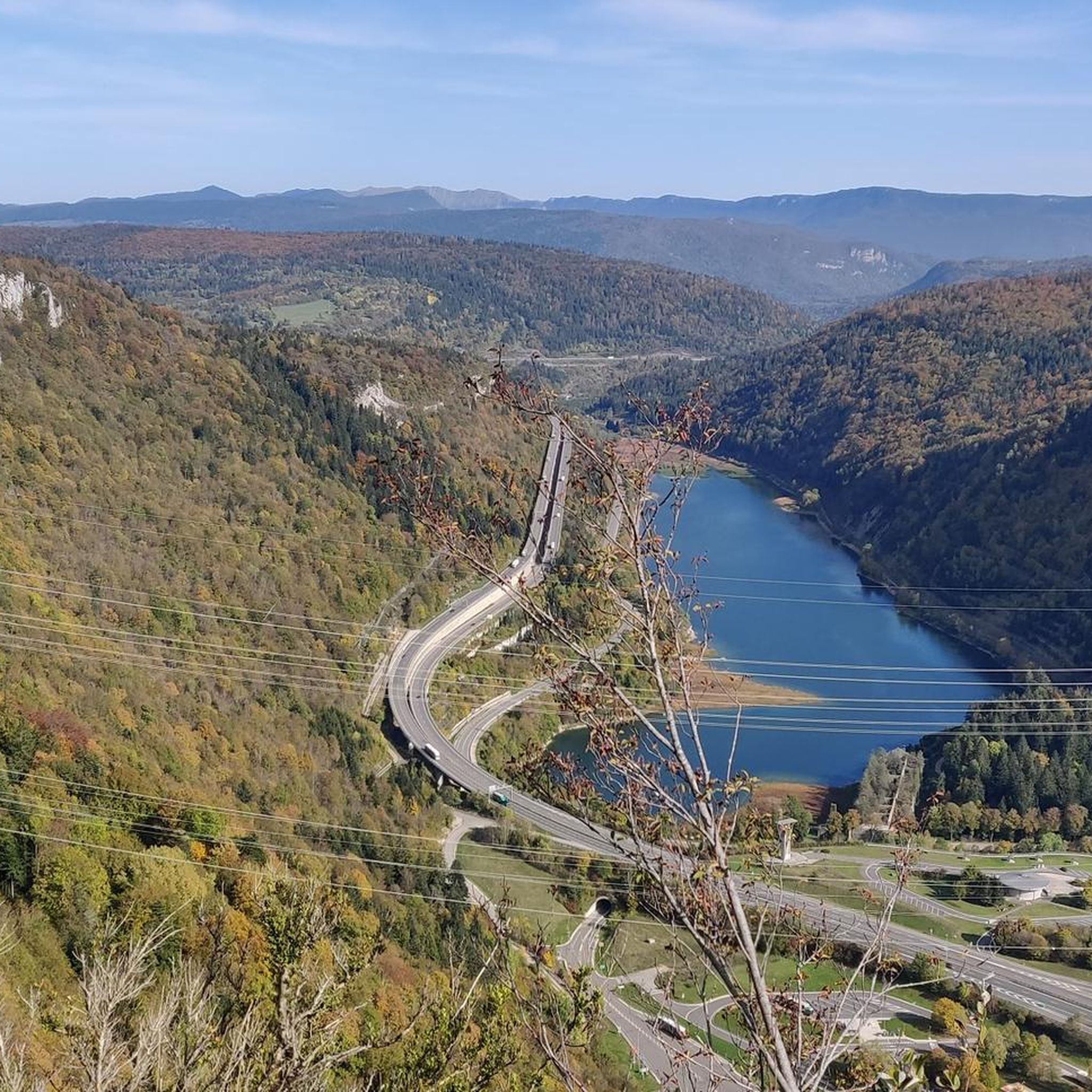
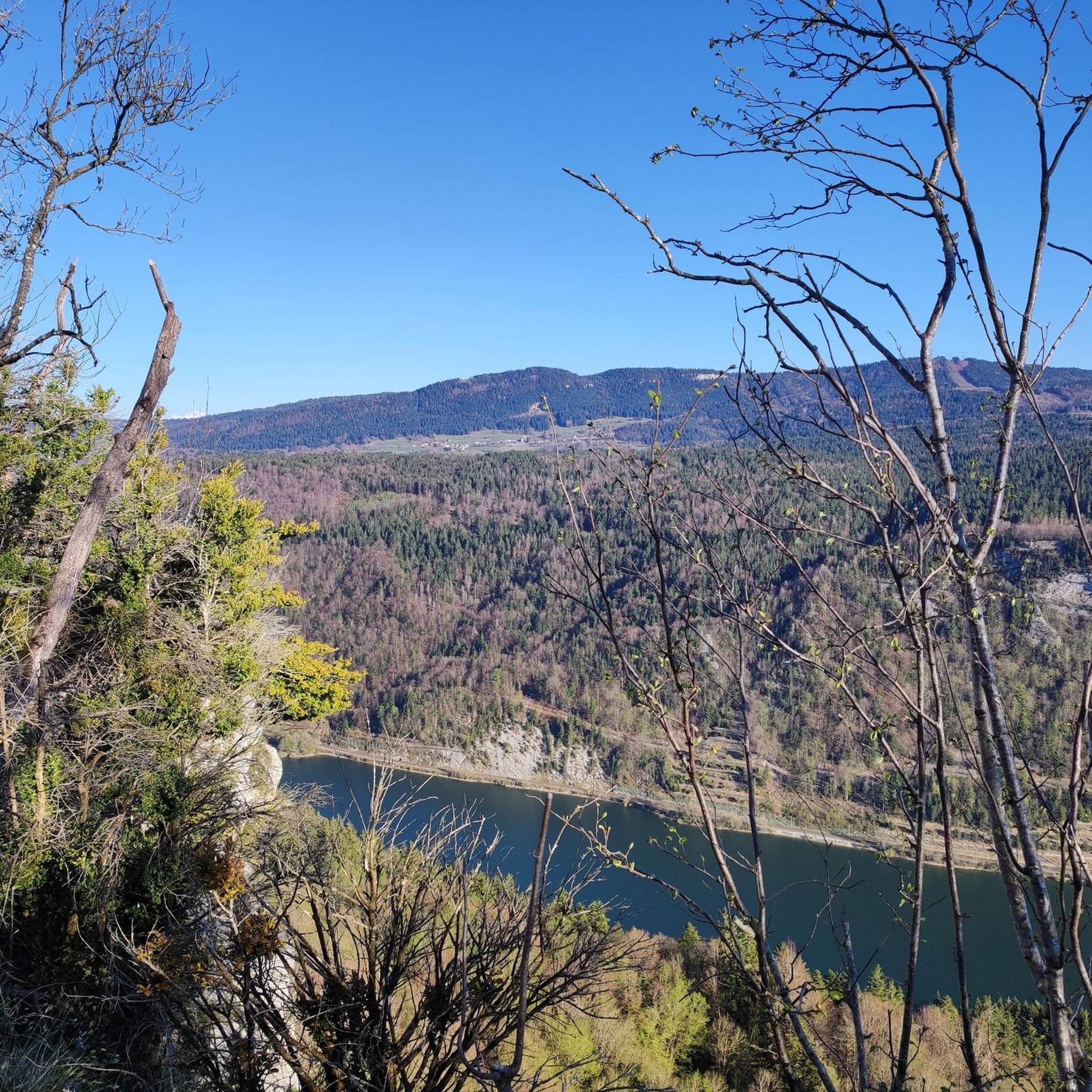
The Peney viewpoint overlooks Lake Sylans, on which it offers a beautiful view. Classified since 1909, one can distinguish on its banks the ruins of the old ice factories which commercialized the ice extracted from the lake until 1917. The passage is located at the level of the tunnel of the same name.
0
0
The Marron ponds are named after a family from Brénod, it is not a reference to the color of the water. Only one of them remains filled with water all year round. This one served as a water reserve and fishing spot for the monks of the Meyriat abbey. In spring, a multitude of water lilies cover the surface.
0
0

The Retord farm, located on the plateau of the same name, allows you to discover local products and offers a pleasant stop in a relaxing natural setting.
0
0

Nestled in the Semine valley, Saint-Germain-de-Joux offers a preserved natural setting. Don't miss the "marmites de géants" (giant's cauldrons), these rock formations carved by water, accessible from the village.
0
0

beautiful pass, quite rolling especially through St Germain de Joux, a little tougher on the Saint Claude side. lots of writing on the ground since the Tour de France passed through.
0
0

A 10 km climb from the small roundabout in Châtillon, it's more like 14 km from the Nantua road or the center of Bellegarde. The gradient is fairly steady, ranging from 5.5% to 7.2%, with about ten small steep sections at +8.5%. Very quiet, with very few cars. The road is generally in good condition, but nothing more. There are some beautiful views along the way.
1
1

This boundary stone marked the border between Franche-Comté (north) and French Bugey (south). To the east, the Pays de Gex was separated by the Sardinian Corridor, in which the Spanish Way was located.
0
0
Frequently Asked Questions
What is the general difficulty level of gravel biking routes around Charix?
Gravel biking around Charix is primarily suited for experienced cyclists. The terrain is characterized by significant elevation changes, plateaus, and passes, leading to challenging climbs. Most of the 12 available routes are rated as difficult, with only one moderate option and no easy routes.
Are there any easy or beginner-friendly gravel bike trails in Charix?
The gravel biking routes around Charix are generally challenging, with a strong focus on routes for experienced riders. There are no easy routes listed, and only one route is categorized as moderate. Beginners might find the significant elevation gains and varied terrain demanding.
Can I find routes with substantial elevation gain for a challenging ride?
Yes, Charix is known for its routes with significant elevation changes. For instance, the Cuvéry Pass – Plateau de Retord loop from Champfromier features over 2,200 meters of elevation gain, offering a truly demanding experience across mountain passes and plateaus.
What kind of scenery can I expect on gravel bike trails near Charix?
The routes around Charix offer diverse scenery, including views of natural lakes like Lake Nantua and Lake Genin. You'll also encounter plateaus, passes, and natural monuments such as the Valserine Gorges and the Valserine Valley. The La Roche Fauconnière highlight offers panoramic viewpoints.
Are there any circular gravel bike routes available in the Charix area?
Yes, many of the gravel bike routes around Charix are designed as loops. Examples include the Plateau de Retord – Terments Cross loop from Ochiaz and the Lake Nantua – Lac de Nantua loop from Brion - Montréal-la-Cluse, allowing you to start and finish at the same point.
What do other gravel bikers say about the trails in Charix?
The gravel biking routes in Charix are highly rated by the komoot community, with an average score of 5.0 stars from 3 reviews. Cyclists often praise the challenging climbs, scenic plateaus, and the rewarding views, particularly those around Lake Nantua.
Are there any gravel routes that pass by lakes or other water features?
Absolutely. The Lake Nantua – Lac de Nantua loop from Brion - Montréal-la-Cluse offers stunning views of Lake Nantua. Other routes may also pass by or offer views of lakes such as Lake Genin and Étang de Lalleyriat.
What is the typical duration for gravel bike rides in Charix?
The duration of gravel bike rides in Charix varies significantly depending on the route's length and elevation. Shorter, difficult routes like the Plateau de Retord – Terments Cross loop from Ochiaz can take around 2 hours. Longer, more challenging routes, such as the Cuvéry Pass – Plateau de Retord loop from Champfromier, can require nearly 9 hours to complete.
Is Charix a good destination for long-distance gravel biking?
Yes, Charix offers several options for longer gravel rides. Routes like the Cuvéry Pass – Plateau de Retord loop from Champfromier, at over 90 km, and La Roche Fauconnière – Col de Bérentin loop from Montanges, at over 72 km, provide extensive distances and significant climbing for endurance cyclists.
Are there any specific routes that offer particularly scenic views?
For scenic views, consider routes that incorporate Lake Nantua. The Lake Nantua – Lac de Nantua loop from Brion - Montréal-la-Cluse is a popular choice for its lake vistas. Additionally, routes traversing the plateaus and passes often provide expansive views of the surrounding natural landscape.
What are some notable natural attractions to explore near the gravel trails?
Beyond the trails, you can explore several natural attractions. These include the stunning Lake Nantua, the serene Lake Genin, and the dramatic Valserine Gorges. The La Roche Fauconnière is also a recommended viewpoint.
Is it possible to access gravel bike trails in Charix using public transport?
While specific public transport access points for each trail are not detailed, Charix is a regional hub. It's advisable to check local bus or train schedules to nearby towns like Montréal-la-Cluse or Champfromier, which serve as starting points for some routes, and plan your connection to the trailheads accordingly.
Most popular attractions around Charix

Get inspired with the komoot mobile app


Explore more
Browse the best Gravel rides in other regions.
