The best gravel rides around Underhill Center
5.0
(1)
42
riders
8
rides
Gravel biking around Underhill Center, Vermont, offers varied terrain across mountain slopes, scenic valleys, and extensive forest lands. The region features a network of routes that combine paved and unpaved surfaces, including significant portions of gravel roads. Riders encounter diverse landscapes, from challenging climbs with notable elevation gains to more gentle valley routes. This area provides access to both Underhill State Park and Mount Mansfield State Forest, which contain numerous roads suitable for gravel cycling.
Best gravel bike trails around…
Last updated: October 13, 2026
5.0
(1)
10
riders
46.8km
02:55
750m
750m
Hard gravel ride. Very good fitness required. Mostly paved surfaces. Suitable for all skill levels.
3
riders
20.6km
01:24
430m
430m
Moderate gravel ride. Good fitness required. Mostly paved surfaces. Suitable for all skill levels.

5
riders
24.3km
01:30
370m
370m
Moderate gravel ride. Good fitness required. Mostly paved surfaces. Suitable for all skill levels.
4
riders
23.0km
01:27
360m
360m
Moderate gravel ride. Good fitness required. Mostly paved surfaces. Suitable for all skill levels.
7
riders
28.9km
01:40
380m
380m
Moderate gravel ride. Good fitness required. Mostly paved surfaces. Suitable for all skill levels.
Get access to more routes and recommendations from other explorers.
Already have an account?
Our route recommendations are based on thousands of hikes, rides, and runs completed by other people on komoot.
Start today with a free account
Your next adventure awaits.

Tips from the Community

Great way to get up the Notch and avoid most of Route 107
0
0

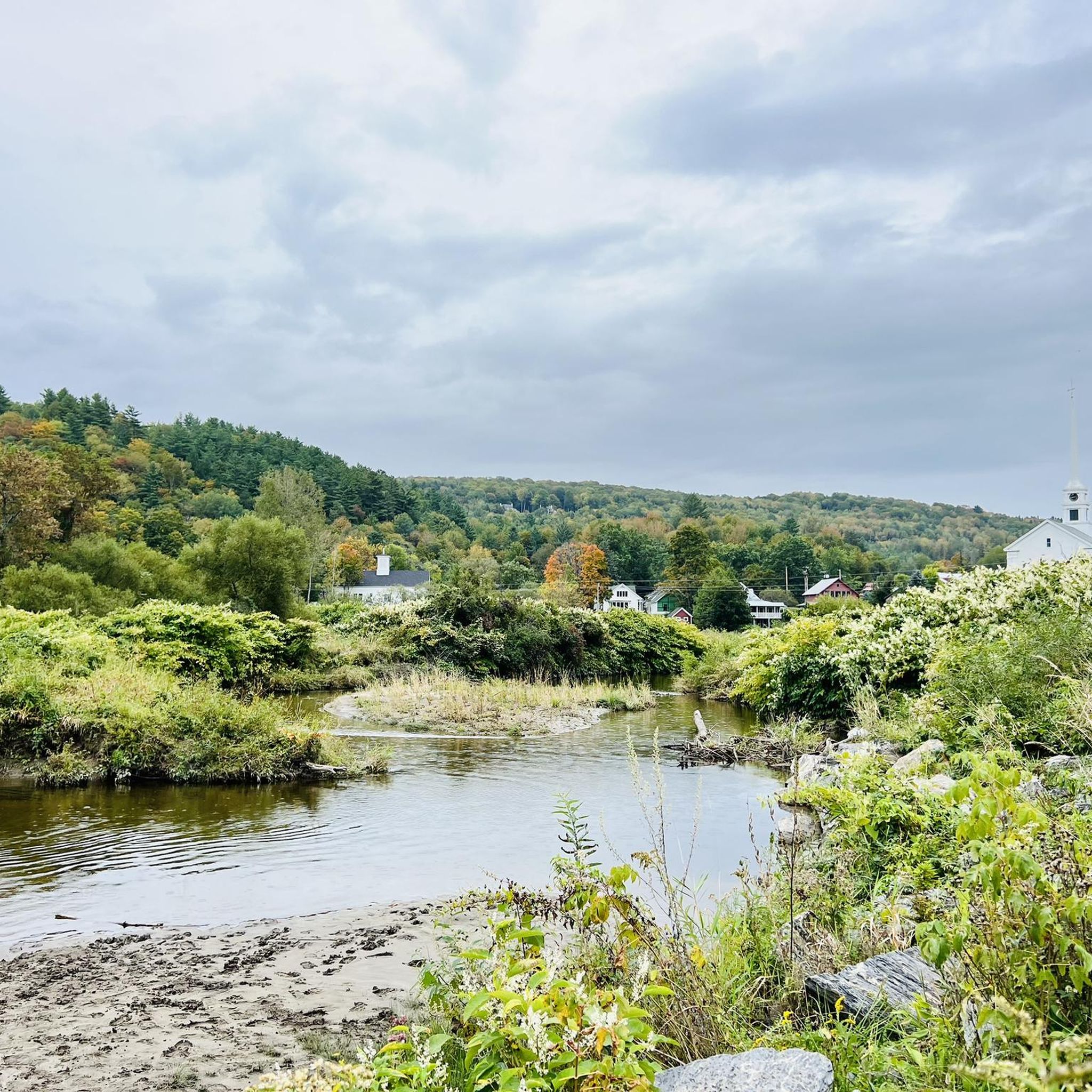
The Grist Mill Covered Bridge, which is also known as the Scott Covered Bridge, the Bryant Covered Bridge, or the Canyon Covered Bridge, spans the Brewster River near the beautiful Brewster River Gorge and falls. This bridge is one of a small number of surviving Burr arch truss bridges in the state and was built in the 19th century. In 1974 it was listed on the National Register of Historic Places. There is a nice overlook for the Brewster Falls not far from here, down a short trail if you wanted to leave your bikes and go on a short walk.
0
0
The West Farm Trail is located within the Brewster Uplands and loops through the woods northeast of the gorge, past farmlands that are still in use. There are several trails that connect to The Alden Bryan Trail, which parallels the river, and the Brewster Pond Loop, allowing you to lengthen your hike if you choose. Please note that two farms and associated fields on the property are not open to public recreation; they are working farms so please be respectful as you hike around here.
0
0
From the main parking area, you must walk back on the road and through the Grist Mill Covered Bridge. Also known as the Scott Covered Bridge, the Bryant Covered Bridge,or the Canyon Covered Bridge, this bridge is one of a small number of surviving Burr arch truss bridges in the state and was built in the 19th century. In 1974 it was listed on the National Register of Historic Places.
0
0
Frequently Asked Questions
How many gravel bike trails are available around Underhill Center?
Underhill Center offers a selection of 7 gravel bike trails, ranging from moderate to difficult. These routes explore diverse landscapes, including mountain slopes, scenic valleys, and extensive forest lands.
What kind of terrain can I expect on gravel bike trails in Underhill Center?
You can expect a mix of paved and unpaved surfaces, with many routes featuring significant portions of gravel roads, sometimes up to 72% unpaved. The terrain varies from challenging mountain climbs with substantial elevation gains to more gentle valley routes, often including features like water bars, ascents, and descents.
Are there any challenging gravel bike routes for experienced riders?
Yes, Underhill Center has several challenging routes. For a demanding ride, consider the Union Bank Cambridge loop from Stevensville, which is 29.1 miles long with over 748 meters of elevation gain. Another difficult option is the Church Converted into a Home – Huntington Gorge loop from Jericho Center, covering 38.0 miles with 536 meters of climbing.
What are some moderate gravel biking options in the area?
For a moderate experience, the West Farm Trail – Grist Mill Bridge loop from Valley Dream Farm is a great choice, navigating 15.1 miles through agricultural areas. Another moderate route is the Underhill Pond loop from Underhill, an 18.0-mile trail leading through forested areas and past the pond.
What natural attractions can I see while gravel biking near Underhill Center?
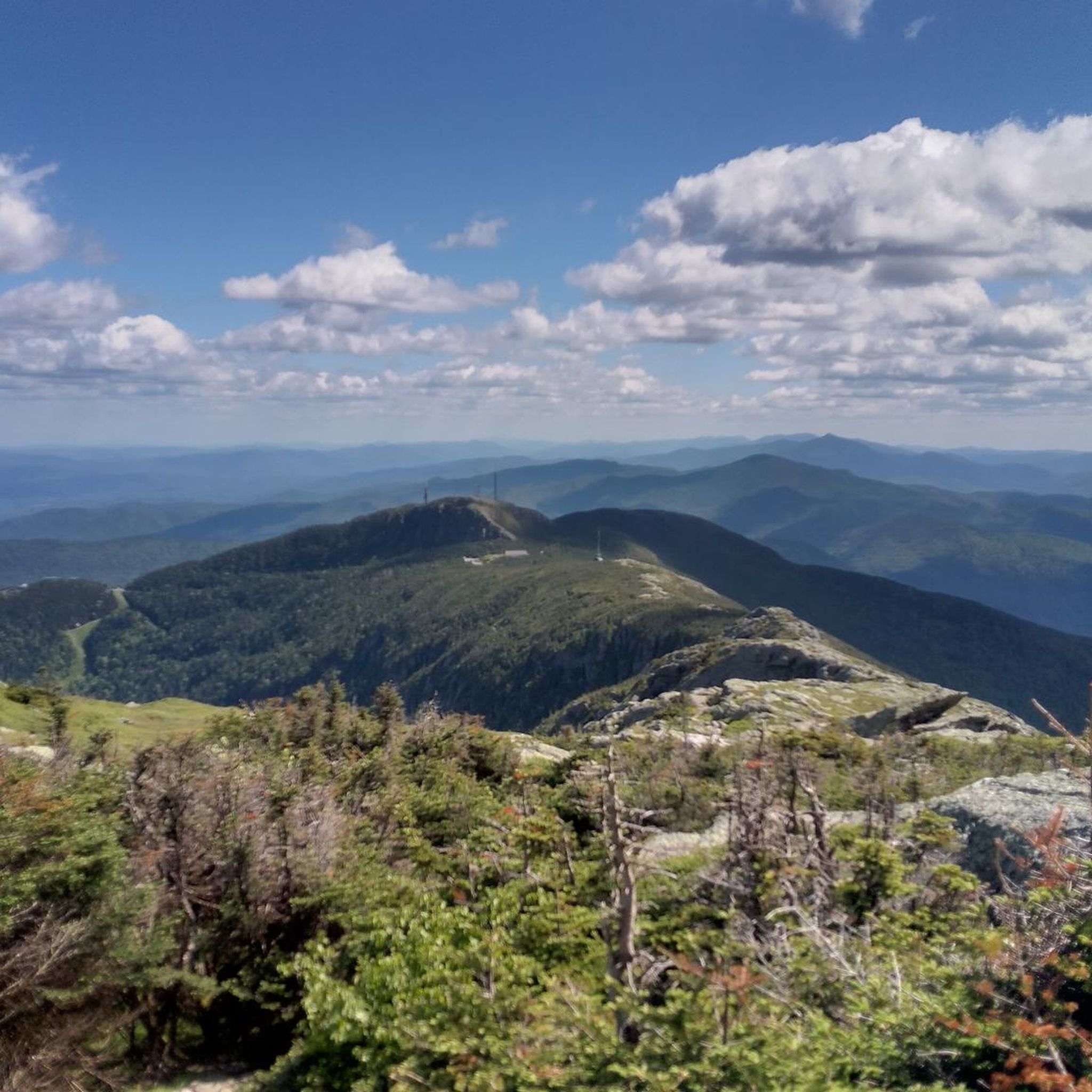
Many routes offer views of Mount Mansfield, Vermont's highest peak. You can also explore areas within Underhill State Park and Mount Mansfield State Forest. Notable natural features include the Mount Mansfield Summit, the scenic Sunset Ridge Trail, and unique geological formations like Cantilever Rock and Mansfield's Lower Lip.
Are there any circular gravel bike routes in Underhill Center?
Yes, many of the gravel bike routes in Underhill Center are circular. Examples include the Union Bank Cambridge loop from Stevensville, the West Farm Trail – Grist Mill Bridge loop from Valley Dream Farm, and the Underhill Pond loop from Underhill, all designed as loops for convenient exploration.
What do other gravel bikers enjoy most about gravel biking in Underhill Center?
The komoot community highly rates the gravel biking experience in Underhill Center, with an average score of 5.0 stars. Riders often praise the diverse terrain, the stunning natural beauty of the region, and the variety of routes that cater to different skill levels, from challenging mountain climbs to scenic valley rides.
Are there any routes that pass by water features or swimming spots?
While specific routes aren't highlighted for swimming, the region is known for its natural water features. The Underhill Pond loop from Underhill passes by Underhill Pond, which is a tranquil spot ideal for swimming and picnicking during warmer months. The Brewster River also has a 'sneaky good swimming hole' that locals enjoy.
When is the best time of year to go gravel biking in Underhill Center?
The best time for gravel biking is typically from spring through fall, when the weather is mild and trails are clear of snow. Summer offers warm conditions for exploring, while fall provides stunning foliage. Some Class IV roads might be more challenging in wet conditions, and winter brings opportunities for cross-country skiing and snowshoeing, but not typically gravel biking.
Are there any family-friendly gravel biking options in Underhill Center?
While many routes feature significant elevation and unpaved sections, the region offers diverse terrain. For a potentially gentler experience, look for routes that stick to the valley roads, such as those through Pleasant Valley. The Crane Brook Conservation District also features a gentle trail suitable for all ages, though it's primarily for hiking, skiing, and snowshoeing.
What is the longest gravel bike route available in Underhill Center?
The longest gravel bike route listed is the Union Bank Cambridge loop from Stevensville, which spans 29.1 miles (46.8 km). This difficult route offers significant elevation changes through rural landscapes.
Most popular attractions around Underhill Center

Get inspired with the komoot mobile app


Explore more
Browse the best Gravel rides in other regions.
