The best running trails around Underhill Center
51
runners
10
runs
Jogging around Underhill Center offers diverse experiences on the western slopes of Mount Mansfield, Vermont's highest peak. The region is characterized by a mix of challenging mountain trails, dense forests, and more accessible paths. Runners can encounter varied terrain, from root-filled forest floors to open ridges with expansive views. The area provides a range of running routes, from those with significant elevation gain to gentler loops.
Best jogging routes around Underhill Center
- The most popular jogging route is Sunset Ridge…
Last updated: June 29, 2026
4
runners
6.58km
00:43
140m
140m
Moderate run. Good fitness required. Mostly paved surfaces. Suitable for all skill levels.
3
runners
6.01km
00:40
90m
90m
Moderate run. Good fitness required. Mostly paved surfaces. Suitable for all skill levels.

Sign up for free
6
runners
6.71km
00:48
200m
200m
Moderate run. Good fitness required. Mostly paved surfaces. Suitable for all skill levels.
9
runners
6.67km
00:52
140m
140m
Moderate run. Good fitness required. Mostly paved surfaces. Suitable for all skill levels.
4
runners
3.25km
00:23
60m
60m
Easy run. Great for any fitness level. Mostly paved surfaces. Suitable for all skill levels.
Get access to more routes and recommendations from other explorers.
Sign up for free
Already have an account?
Our route recommendations are based on thousands of hikes, rides, and runs completed by other people on komoot.
Start today with a free account
Your next adventure awaits.
Login or Signup


Tips from the Community

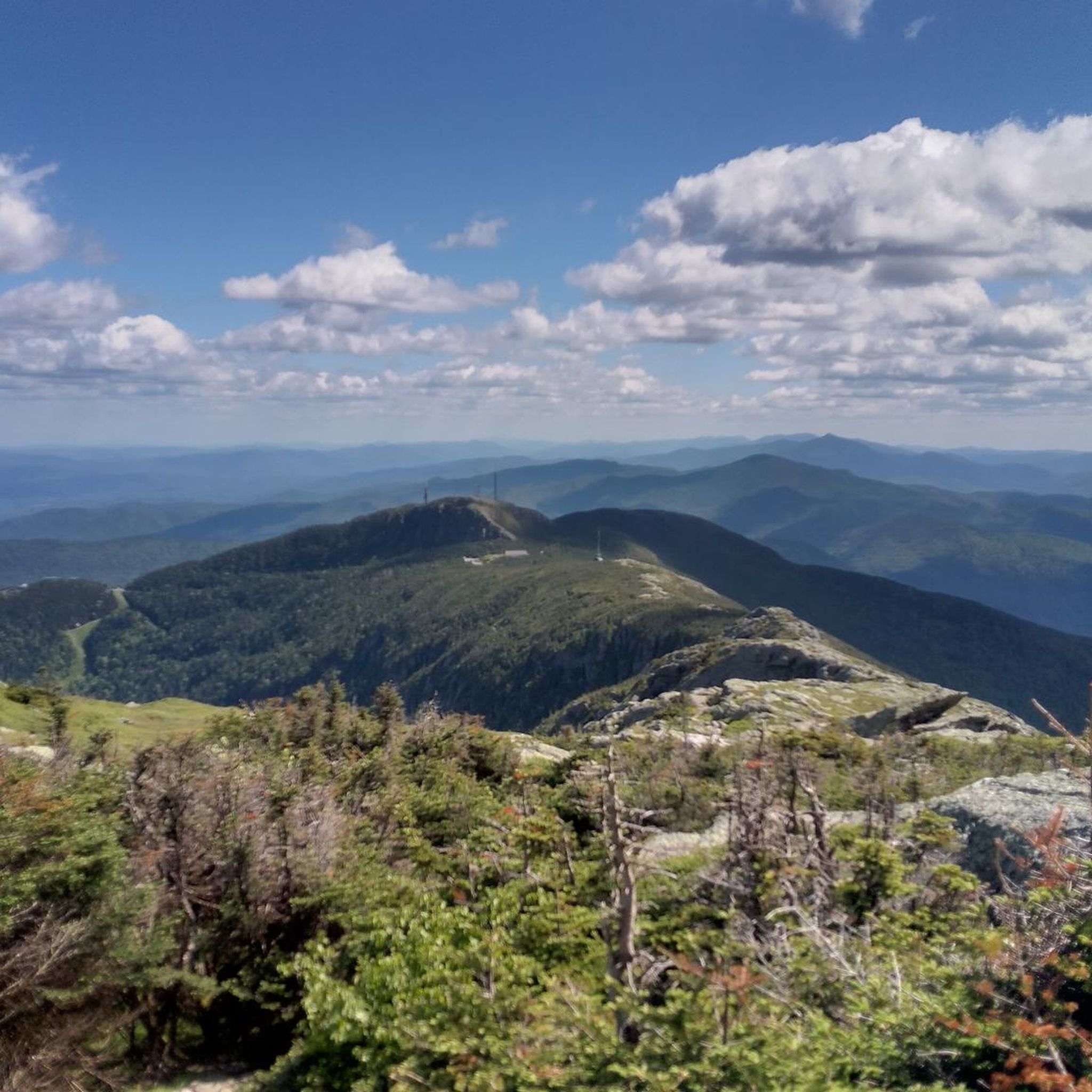
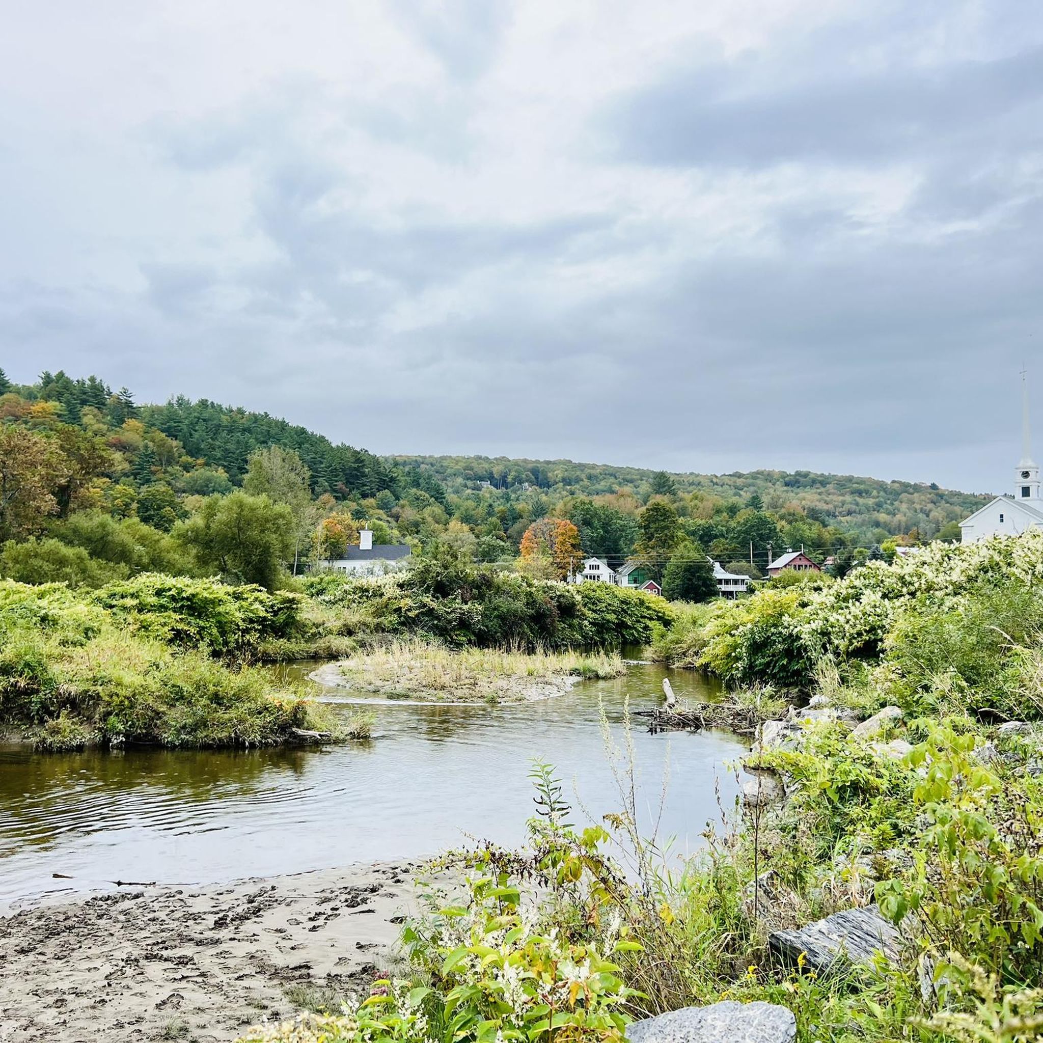
Great view from the road of the surrounding area. Smugglers' Notch is between Vermont's highest peak (Mount Mansfield), Spruce Peak and Sterling Ridge.
1
0
Frequently Asked Questions
How many running routes are available in Underhill Center?
Komoot features over 10 diverse running routes around Underhill Center. These routes cater to various fitness levels, ranging from moderate paths through woodlands to challenging mountain ascents on Mount Mansfield.
Are there any easy or beginner-friendly running paths in Underhill Center?
While many routes offer significant challenges, you can find more accessible options. For a moderate run through local woodlands and around a pond, consider the Fishing Pond loop from Underhill, which is about 4.2 miles long. Another moderate option is the Running loop from Underhill, offering a 3.7-mile path with less elevation gain.
What kind of landscapes and natural features can I expect to see while running in Underhill Center?
Running in Underhill Center offers a diverse experience. You'll encounter dense forests, open ridges with expansive views, and even alpine zones on higher elevations of Mount Mansfield. Trails often feature water crossings and scenic rock outcroppings. The area is dominated by Mount Mansfield, Vermont's highest peak, providing stunning vistas of the Champlain Valley.
Are there any specific attractions or landmarks along the running routes?
Yes, several notable attractions are accessible from the running routes. You can reach the Mount Mansfield Summit for panoramic views. The Sunset Ridge Trail itself is a highlight, known for its phenomenal views, and a short spur leads to Cantilever Rock. You might also pass by Mansfield's Lower Lip, a distinctive rock formation.
What is the best time of year for trail running in Underhill Center?
The best time for trail running is generally from late spring through early autumn when trails are clear of snow and ice. Summer offers lush greenery, while autumn provides spectacular fall foliage. Be aware that higher elevations on Mount Mansfield can have different weather conditions and may retain snow longer.
Are there any circular running routes available?
Yes, many of the routes around Underhill Center are designed as loops. For instance, the challenging Sunset Ridge Trail – Mount Mansfield Summit loop from Underhill State Park and the Mount Mansfield – Underhill State Park loop from Underhill State Park are popular circular options. For a less strenuous loop, consider the Fishing Pond loop from Underhill.
Is there parking available at the trailheads?
Many of the prominent trailheads, especially those within Underhill State Park, offer dedicated parking facilities. For example, routes like the Sunset Ridge Trail – Mount Mansfield Summit loop and the Mount Mansfield – Lower Lip loop start directly from Underhill State Park, where parking is available.
How long do the running routes typically take to complete?
The duration varies significantly based on the route's difficulty and length. Moderate routes like the Fishing Pond loop (4.2 miles) can take around 50 minutes. More challenging mountain routes, such as the Sunset Ridge Trail – Mount Mansfield Summit loop (8.4 miles with significant elevation), typically require over 2 hours.
Are there any fees or permits required to access trails, especially in Underhill State Park?
Yes, Underhill State Park, which serves as a primary access point for many trails leading up Mount Mansfield, typically requires an entrance fee. It's advisable to check the official Vermont State Parks website for current fees and any permit requirements before your visit.
What do other runners enjoy the most about the trails in Underhill Center?
Over 90 runners have used komoot to explore Underhill Center's varied terrain. Users frequently praise the region's diverse landscapes, from challenging mountain trails with panoramic views to more accessible paths through dense forests. The opportunity to experience the western slopes of Mount Mansfield is a major draw.
Can I bring my dog on the running trails in Underhill Center?
Many trails in Vermont, including some in the Underhill Center area, are dog-friendly, but rules can vary by specific park or trail. It's always best to check the regulations for the particular trail or park you plan to visit, especially within Underhill State Park, regarding leash requirements and waste disposal.
Are there any family-friendly jogging routes in the area?
For families looking for less strenuous options, the conserved Tomasi Meadow offers open space suitable for walking and gentle jogging. While not explicitly listed as 'easy' in the guide, routes like the Fishing Pond loop from Underhill provide a moderate, scenic experience through woodlands that might be suitable for active families.
Where can I find refreshments or amenities after my run in Underhill Center?
Underhill Center has local amenities where you can find refreshments. You can look for local cafes, pubs, or grocery stores within the village to refuel and relax after your run. The broader Chittenden County area also offers various options.
Most popular attractions around Underhill Center

Get inspired with the komoot mobile app


Explore more
Browse the best Running Trails & Routes in other regions.
