The best road cycling routes around Underhill Center
104
riders
12
rides
Road cycling routes around Underhill Center traverse a landscape characterized by rolling hills and varied terrain. The region features roads that wind through forested areas and open countryside, offering consistent elevation changes. Situated on the western slope of Mount Mansfield, the area provides scenic views and a backdrop of Vermont's highest peak. These routes are suitable for road cyclists seeking moderate challenges and diverse topography.
Best road cycling routes around Underhill Center
- The most popular road cycling route is Beaver…
Last updated: October 12, 2026
31
riders
123km
05:43
1,490m
1,490m
This difficult 76.7-mile road cycling loop through Mount Mansfield State Forest features the iconic Smugglers' Notch climb and stunning view
15
riders
50.0km
02:20
600m
600m
Moderate road ride. Good fitness required. Some segments of this route may be unpaved and difficult to ride.

12
riders
56.7km
02:39
610m
610m
Moderate road ride. Good fitness required. Some segments of this route may be unpaved and difficult to ride.
6
riders
Moderate road ride. Good fitness required. Mostly well-paved surfaces and easy to ride.
8
riders
98.2km
04:38
1,260m
1,260m
Hard road ride. Very good fitness required. Some segments of this route may be unpaved and difficult to ride.
Get access to more routes and recommendations from other explorers.
Already have an account?
Our route recommendations are based on thousands of hikes, rides, and runs completed by other people on komoot.
Start today with a free account
Your next adventure awaits.


Tips from the Community

Great way to get up the Notch and avoid most of Route 107
0
0
Great country store just across the Westford Green. Decent sandwiches and cold drinks!
0
0

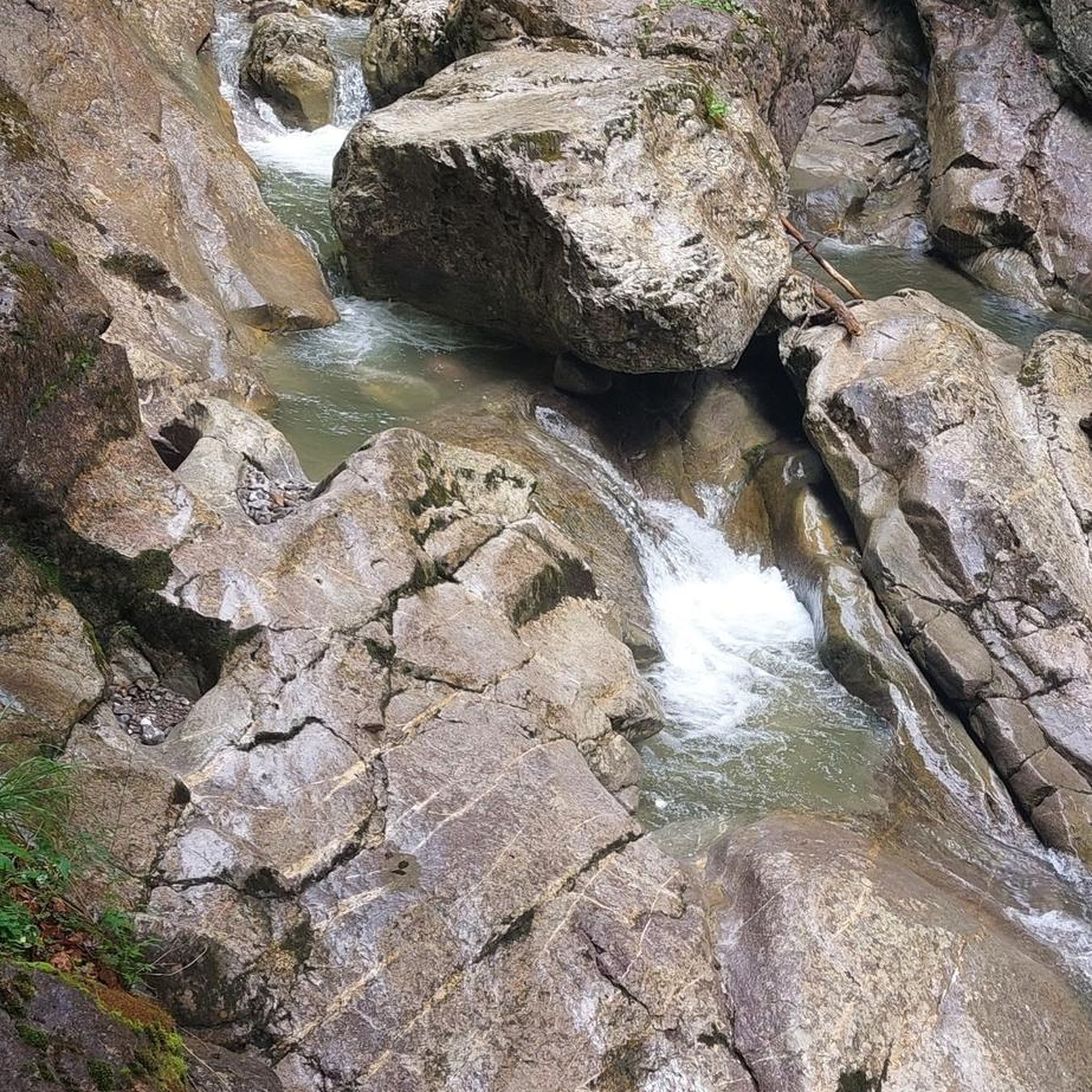
The Grist Mill Covered Bridge, which is also known as the Scott Covered Bridge, the Bryant Covered Bridge, or the Canyon Covered Bridge, spans the Brewster River near the beautiful Brewster River Gorge and falls. This bridge is one of a small number of surviving Burr arch truss bridges in the state and was built in the 19th century. In 1974 it was listed on the National Register of Historic Places. There is a nice overlook for the Brewster Falls not far from here, down a short trail if you wanted to leave your bikes and go on a short walk.
0
0
From the main parking area, you must walk back on the road and through the Grist Mill Covered Bridge. Also known as the Scott Covered Bridge, the Bryant Covered Bridge,or the Canyon Covered Bridge, this bridge is one of a small number of surviving Burr arch truss bridges in the state and was built in the 19th century. In 1974 it was listed on the National Register of Historic Places.
0
0

At this point along the tree-lined Hinesburg Road, the trees clear and you have views across Beaver Pond. The pond is a relatively small water body, with some marshy area and surrounded by trees. This is a particularly beautiful place in the fall colours.
1
0

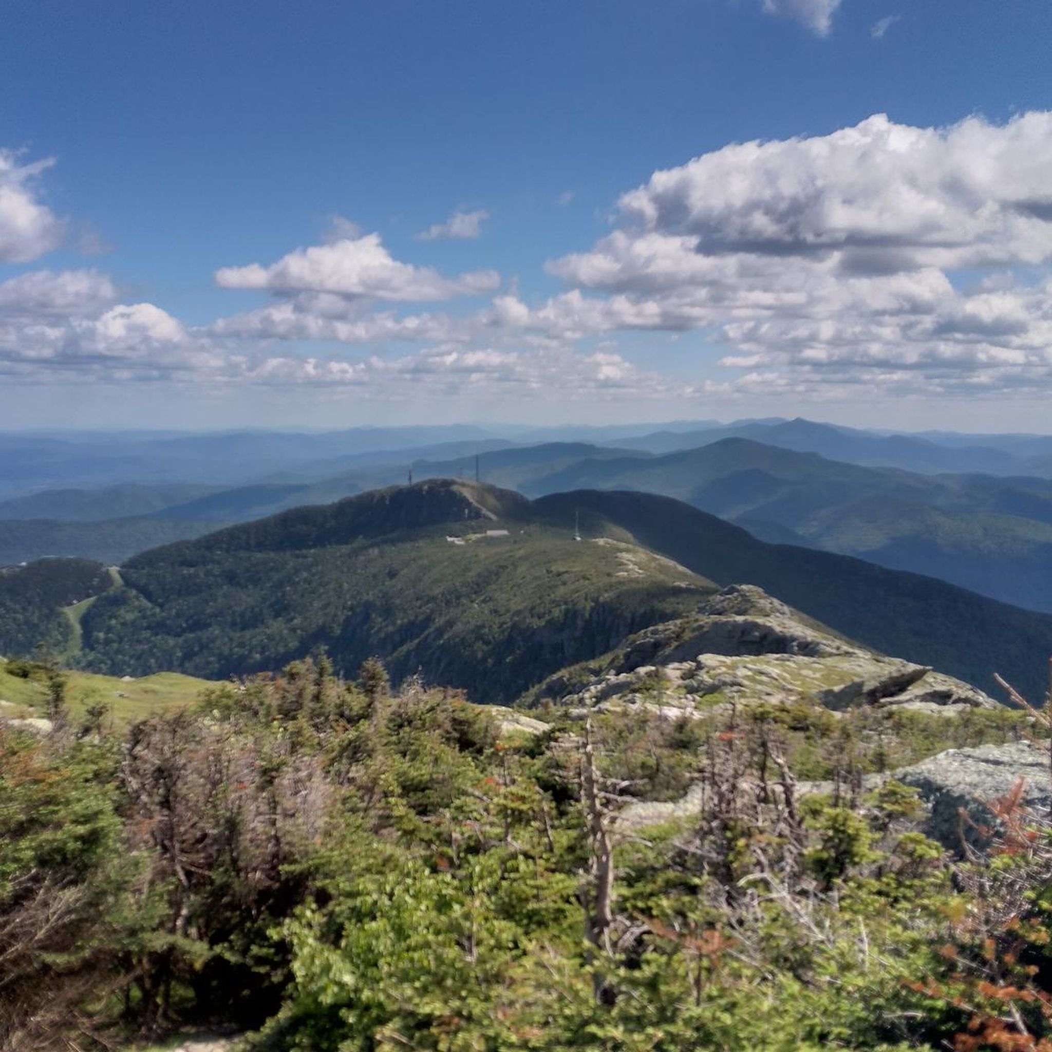
Great view from the road of the surrounding area. Smugglers' Notch is between Vermont's highest peak (Mount Mansfield), Spruce Peak and Sterling Ridge.
1
0
Historical covered bridge that was built in 1938. Currently, there is a concrete bridge to cross Brown's River, but the covered bridge has been preserved for visitors to see in its original form.
1
0
The Stowe Recreation Path is a 5.3 mile fully paved trail from Stowe Village to Top Notch Resort. It is a beautiful path to ride that is free from car traffic.
0
0
Frequently Asked Questions
What kind of terrain can I expect on road cycling routes around Underhill Center?
The road cycling routes around Underhill Center are characterized by rolling hills and varied terrain. You'll find roads winding through forested areas and open countryside, offering consistent elevation changes. The area's topography provides a mix of climbs and descents, making it suitable for cyclists seeking moderate challenges.
Are there any easy road cycling routes for beginners in Underhill Center?
While the routes listed in this guide are generally classified as moderate, the region's roads offer a range of experiences. For those newer to road cycling, routes like the Roadbike loop from Underhill, at 19.8 miles (31.8 km) with 345 meters of elevation gain, provide a good introduction to the area's rolling hills without being overly strenuous.
What is the typical length and duration of road cycling routes in Underhill Center?
Road cycling routes in Underhill Center vary in length. For instance, the Beaver Pond loop from The Cobble is about 31 miles (49.96 km) and typically takes around 2 hours 19 minutes. Longer options, such as the Underhill Pond loop from Mount Mansfield Union High School, extend to 35.2 miles (56.7 km) and can take over 2.5 hours to complete, offering sustained riding.
Are there any challenging road cycling routes for experienced riders?
The routes around Underhill Center are primarily moderate, but they do offer sustained climbs and descents that can be challenging. The Underhill Pond loop from Mount Mansfield Union High School, for example, features over 611 meters of elevation gain over 35.2 miles, providing a good workout for experienced cyclists.
What are some notable landmarks or points of interest along the road cycling routes?
While the road cycling routes themselves focus on scenic roads, the broader Underhill Center area is rich with natural attractions. Nearby, you can find highlights such as Mount Mansfield Summit, the Sunset Ridge Trail, and unique geological features like Cantilever Rock. These offer opportunities for exploration off the bike.
When is the best time of year for road biking in Underhill Center?
The best time for road biking in Underhill Center is typically from late spring through early autumn (May to October). During these months, the weather is generally mild, and the foliage offers beautiful scenic backdrops, especially in the fall. Summers are warm, and spring brings blooming landscapes, while autumn showcases vibrant colors.
Are there loop road bike routes available in Underhill Center?
Yes, all the featured road cycling routes in this guide are designed as loops, allowing you to start and finish at the same point. Examples include the Beaver Pond loop from The Cobble and the Underhill Pond loop from Mount Mansfield Union High School, providing convenient circular journeys.
What should I know about parking and trailheads for road biking in Underhill Center?
Starting points for routes often include locations like 'The Cobble' or 'Mount Mansfield Union High School', which typically offer public parking facilities. It's advisable to check local signage for any specific parking regulations or fees, especially during peak seasons. Many routes utilize existing road networks, so access points are generally straightforward.
Can I expect to find cafes or viewpoints along the road cycling routes?
The routes in Underhill Center traverse rural roads, offering numerous scenic viewpoints of the surrounding mountains and countryside. While dedicated cafes directly on the routes might be sparse, you'll find opportunities in the small towns and villages you pass through or near. Planning your route with komoot allows you to identify potential stops for refreshments.
What kind of wildlife might I spot while road biking in Underhill Center?
Road cycling through the forested and open countryside of Underhill Center offers opportunities for wildlife spotting. You might encounter various bird species, white-tailed deer, and smaller mammals. Keep an eye out, especially during quieter times of day, for a chance to observe local fauna in their natural habitat.
How does road biking in Underhill Center compare to mountain biking in the area?
Road biking in Underhill Center focuses on paved or well-maintained gravel roads, navigating rolling hills and scenic rural landscapes. Mountain biking, by contrast, would involve off-road trails, often with more technical terrain and steeper climbs, typically found in designated trail networks or state forests. The region offers distinct experiences for both disciplines.
What weather gear is recommended for road biking in Underhill Center?
Given the varied terrain and potential for changing weather, it's wise to be prepared. Layers are key, even in summer, as temperatures can fluctuate, especially at higher elevations or during early morning/late evening rides. A lightweight windbreaker or rain jacket is recommended, along with appropriate sun protection. In cooler months, warmer base layers, gloves, and headwear are essential.
Are there any hidden gem road bike routes in Underhill Center?
While the guide highlights popular routes, the charm of Underhill Center lies in its extensive network of quiet, scenic backroads. Exploring beyond the main routes can reveal less-trafficked roads with equally stunning views. Many local cyclists enjoy discovering these quieter stretches that connect the small communities and offer a true sense of Vermont's rural beauty.
Most popular routes around Underhill Center
Most popular attractions around Underhill Center

Get inspired with the komoot mobile app


Explore more
Browse the best Road cycling routes in other regions.
