Easy hikes and walks in the Allgäu Alps
4.6
(217061)
1,012,371
hikers
5,272
hikes
Easy hiking trails in the Allgäu Alps traverse a diverse landscape characterized by dramatic rocky peaks, steep grassy mountains, and picturesque mountain lakes. The region features wide valleys, vibrant green meadows, and dense spruce forests, alongside impressive gorges carved by alpine streams. This varied terrain offers numerous options for accessible walks and family-friendly excursions. The geological diversity includes varied rock formations and moorland, providing a rich natural environment for hikers.
Best easy hiking trails in the Allgäu Alps
- The most…
Last updated: June 30, 2026
4.8
(1615)
7,432
hikers
5.98km
01:51
220m
220m
Easy hike. Great for any fitness level. Easily-accessible paths. Suitable for all skill levels.
4.8
(831)
3,910
hikers
4.02km
01:15
150m
160m
Embark on an easy hike along the Breitachklamm Loop Trail, a route that takes you through Central Europe's deepest rocky gorge. As you follow the path, you will experience the…

Sign up for free
4.7
(1013)
3,884
hikers
4.86km
01:28
170m
170m
Easy hike. Great for any fitness level. Easily-accessible paths. Suitable for all skill levels.
4.8
(927)
3,338
hikers
5.82km
01:41
150m
150m
Easy hike. Great for any fitness level. Easily-accessible paths. Suitable for all skill levels.
4.8
(825)
3,063
hikers
Easy hike. Great for any fitness level. Easily-accessible paths. Suitable for all skill levels.
4.7
(254)
1,069
hikers
6.35km
01:53
190m
190m
Easy hike. Great for any fitness level. Easily-accessible paths. Suitable for all skill levels.
4.6
(176)
648
hikers
5.36km
01:50
270m
270m
Easy hike. Great for any fitness level. Easily-accessible paths. Suitable for all skill levels.
4.7
(262)
1,083
hikers
4.60km
01:15
60m
60m
Easy hike. Great for any fitness level. Easily-accessible paths. Suitable for all skill levels.
4.6
(180)
602
hikers
3.92km
01:06
80m
90m
Easy hike. Great for any fitness level. Easily-accessible paths. Suitable for all skill levels.
4.7
(59)
284
hikers
2.63km
00:55
150m
150m
Easy hike. Great for any fitness level. Easily-accessible paths. Suitable for all skill levels.
Get access to more routes and recommendations from other explorers.
Sign up for free
Already have an account?
Our route recommendations are based on thousands of hikes, rides, and runs completed by other people on komoot.
Start today with a free account
Your next adventure awaits.
Login or Signup
Popular around Allgäu Alps

Ibex Tour extended – Crossing the Allgäu Alps

Maximilian Trail in Germany — Lake Constance to Königssee

The Best of Allgäu – Tour around Oberallgäu

Min Weag long-distance hiking trail – From Lake Constance to the Alps
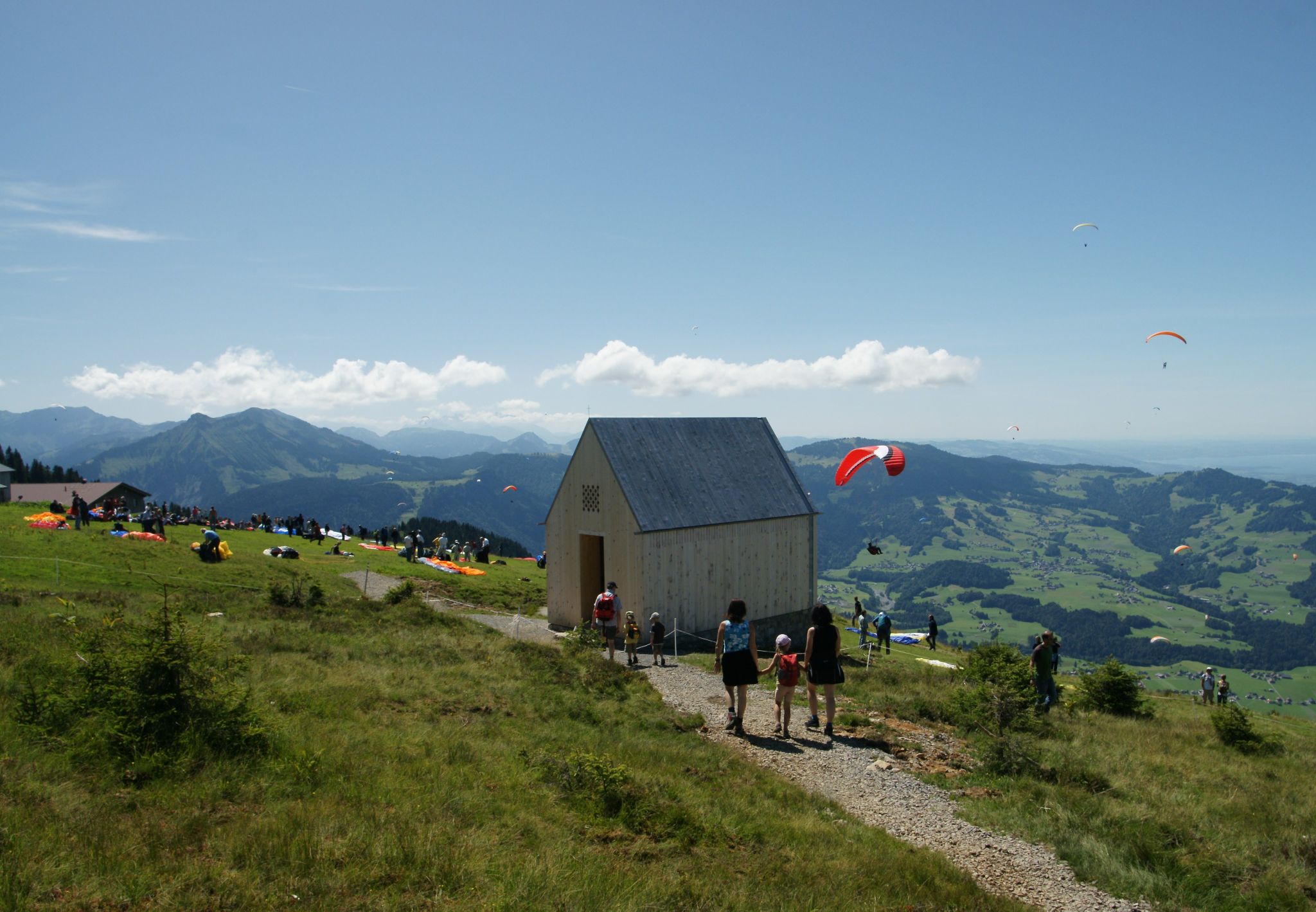
The Architecture Trail – Follow it through Austria's Bregenz Forest region
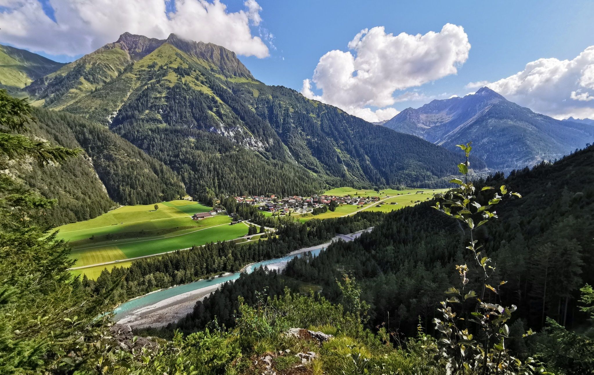
The Lechweg — eight days on Austria's wildest river

E5 – Hiking across the Alps
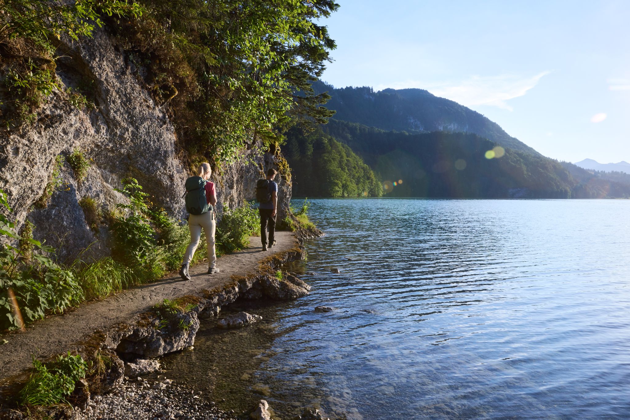
Lechloops – wonderful hiking along the wild Lech
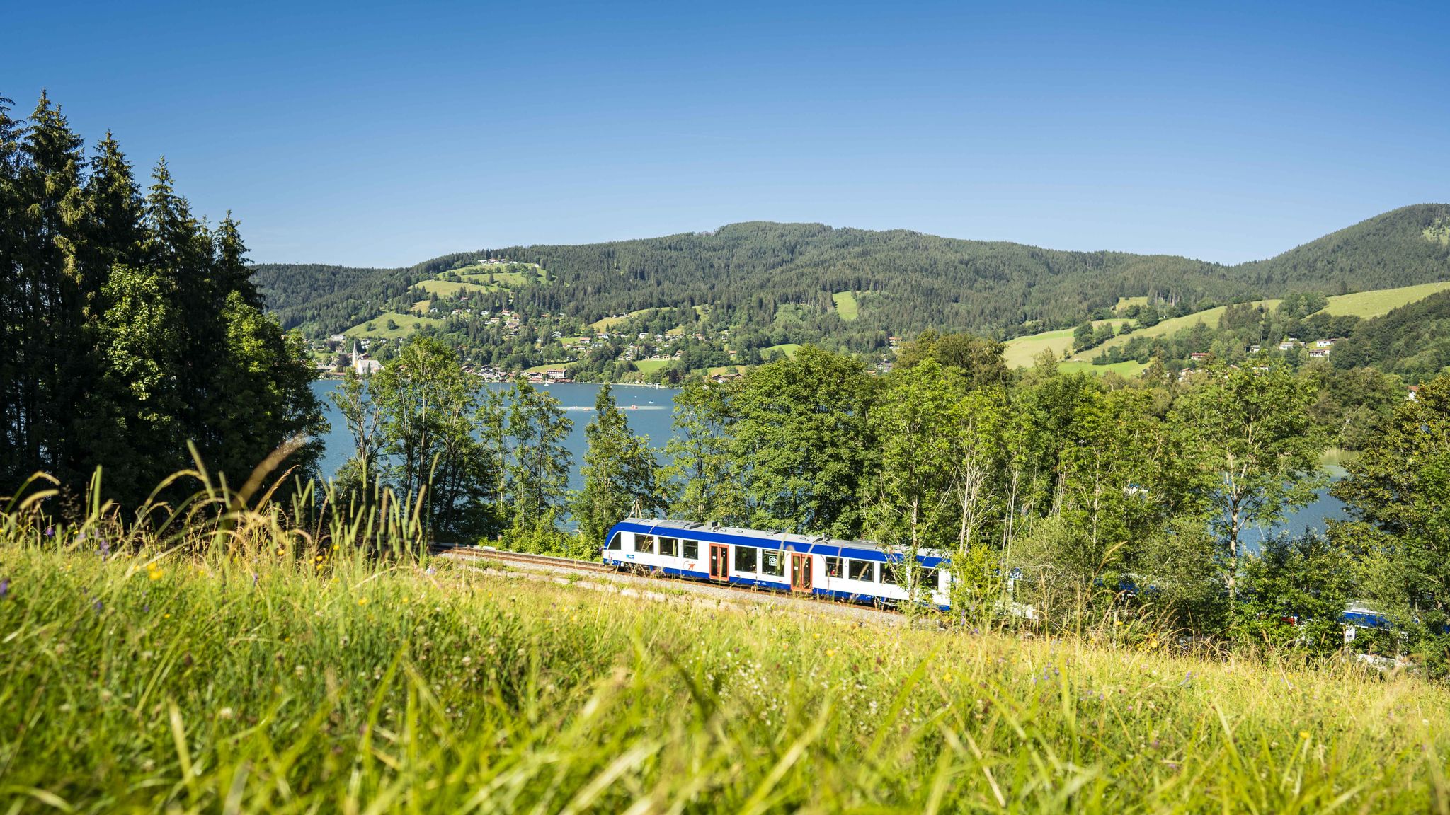
Mountain air by train – hiking in the BRB Network

The National Natural Landscapes in Bavaria
Other adventures in the Allgäu Alps


Tips from the Community

The picturesquely located church is dedicated to Saint Barbara. A predecessor building already dated from the 15th century, before the church was expanded and baroqueized over the centuries.
9
0
The parish church of St. Barbara is a Catholic church in the Tiefenbach district of the municipality of Oberstdorf in the Allgäu region.
9
0
This is indeed a beautiful perspective! The view down onto Tiefenbach, nestled in the gentle hills and against the majestic backdrop of the Alps, is simply breathtaking.
7
0
This is a beautiful starting point! The view of the Alps from Tiefenbach is truly picturesque.
7
0

A beautiful view of the Oberstdorf Alps
0
0

Great, quiet area to relax. 😘
4
0

Beautiful hiking trail to the Salober Alm
0
0

I can only recommend
0
0
Frequently Asked Questions
How many easy hiking trails are available in the Allgäu Alps?
There are over 2,100 easy hiking trails in the Allgäu Alps, offering a wide variety of landscapes from lush meadows to impressive gorges. The komoot community has rated these routes with an average score of 4.6 stars.
Are there family-friendly easy hikes in the Allgäu Alps?
Yes, many easy trails are suitable for families. The Great Naturalist Adventure in Gemsteltal is specifically designed for families. Additionally, the Breitachklamm gorge offers easily accessible and secured paths, making it a popular choice for family excursions.
Can I find easy circular walks in the Allgäu Alps?
Absolutely. The region offers several easy circular routes. Consider the Bärgunttal Loop – Kleinwalsertal, which winds through scenic valleys, or the Gemsteltal Loop – Kleinwalsertal. Another option is the Tiefenbach Loop, offering a pleasant walk.
Are there easy hikes that feature waterfalls or gorges?
Yes, the Allgäu Alps are renowned for their spectacular gorges and waterfalls. The Breitachklamm is Germany's deepest gorge and offers secured paths through impressive rock walls. The Engenlochschlucht also provides a fascinating water experience. The Starzlach Gorge and Buchenegger Waterfalls are other notable natural attractions in the region.
What is the best time of year for easy hiking in the Allgäu Alps?
The best time for hiking in the Allgäu Alps is generally from June to September. During these months, the weather is mild, and the landscapes are most vibrant, with lush meadows and blooming alpine flora. Spring and autumn also offer pleasant conditions with fewer crowds.
Are there easy trails with scenic viewpoints or natural features?
Many easy trails in the Allgäu Alps offer stunning views and access to natural features. The region is characterized by dramatic rocky peaks, picturesque mountain lakes like Alpsee, and wide valleys. The Alpine Adventure Trail on the Imberg is a good example of a route with scenic elements.
What kind of attractions can I see near easy hiking trails?
Beyond the natural beauty, the Allgäu Alps region is rich in historical and cultural attractions. You can explore various castles such as the Falkenstein Castle Ruins, High Castle Füssen, or the Vilsegg Castle Ruins. Many trails also offer views of prominent peaks like Grünten Summit or Fellhorn Summit.
Are there easy hikes accessible by public transport or with parking nearby?
The Allgäu Alps have a well-developed infrastructure. Many trailheads for easy hikes are accessible by public transport, and parking facilities are often available nearby. It's advisable to check specific route details for the most convenient access options.
Are there easy hikes that pass by places to eat or get refreshments?
Yes, several easy hiking trails in the Allgäu Alps pass by mountain huts, inns, or villages where you can find refreshments. For instance, the Gaisalpe Mountain Inn is a popular spot for hikers. Many routes in the Kleinwalsertal area also offer opportunities for a break.
What are some lesser-known easy hikes in the Allgäu Alps?
While popular spots like Breitachklamm are well-known, you can discover quieter, equally beautiful easy hikes. The Circular hiking trail Ruine Vilsegg - Salober Alm - Vils offers a pleasant experience away from the busiest paths, combining nature with historical elements.
What is the typical duration and distance for easy hikes in this region?
Easy hikes in the Allgäu Alps vary, but many are designed for shorter durations and manageable distances. For example, the Breitachklamm Loop Trail is about 2.5 miles (4 km) and takes around 1 hour 15 minutes. Other routes like Weissensee (Füssen) – Rock gate at the Weißensee loop are around 4 miles (6.4 km) and can take about 1 hour 40 minutes.
Most popular routes in the Allgäu Alps
Most popular attractions in the Allgäu Alps

Get inspired with the komoot mobile app


Explore more
Browse the best Hikes in other regions.
