Easy hikes and walks in El Hierro
4.5
(2210)
8,426
hikers
336
hikes
Easy hiking trails in El Hierro traverse a landscape shaped by volcanic origins, offering diverse ecosystems and untouched natural beauty. The island features dramatic volcanic formations, craters, and solidified lava flows, alongside lush laurisilva forests in elevated areas. Hikers can explore rugged coastlines, unique twisted juniper trees in El Sabinar, and the fertile El Golfo depression. This UNESCO Biosphere Reserve provides a tranquil setting for outdoor exploration.
Best easy hiking trails in El Hierro
- The most popular easy hiking route is Sendero Arenas Blancas to El Verodal – circular, a 3.0 miles (4.9 km) trail that takes 1 hour 18 minutes to complete. This route connects two unique beaches, one with blonde sand and another with striking red sand.
- Another top favourite among local hikers is Guinea Ecomuseum to Pozo de Los Padrones Trail, an easy 4.3 miles (6.9 km) path. This trail leads through the island's interior, offering insights into its natural and cultural heritage.
- Local hikers also love the Sendero del Mirador Roque Gaviotas — circular desde Tamaduste, a 2.5 miles (4.0 km) trail leading through coastal areas, often completed in about 1 hour 3 minutes.
- Hiking in El Hierro is defined by volcanic landscapes, laurisilva forests, and rugged cliffs, offering a variety of experiences. The network provides options for different ability levels, including many easy hiking trails.
- The routes in El Hierro are highly rated by the komoot community with an average score of 4.5 stars from over 2,000 reviews. More than 7,000 hikers have used komoot to explore El Hierro's varied terrain.
Last updated: July 7, 2026
4.9
(61)
189
hikers
4.90km
01:18
50m
50m
Easy hike. Great for any fitness level. Easily-accessible paths. Suitable for all skill levels.
4.8
(45)
227
hikers
6.91km
01:50
70m
70m
Easy hike. Great for any fitness level. Easily-accessible paths. Suitable for all skill levels.

Sign up for free
4.8
(49)
207
hikers
4.01km
01:03
30m
30m
Easy hike. Great for any fitness level. Easily-accessible paths. Suitable for all skill levels.
4.6
(5)
20
hikers
6.04km
01:54
240m
230m
Easy hike. Great for any fitness level. Easily-accessible paths. Suitable for all skill levels.
3
hikers
5.86km
01:52
240m
240m
Easy hike. Great for any fitness level. Easily-accessible paths. Suitable for all skill levels.
Get access to more routes and recommendations from other explorers.
Sign up for free
Already have an account?
Our route recommendations are based on thousands of hikes, rides, and runs completed by other people on komoot.
Start today with a free account
Your next adventure awaits.
Login or Signup
Popular around El Hierro

La Palma, El Hierro y La Gomera – explore the Canaries’ Green Islands on foot
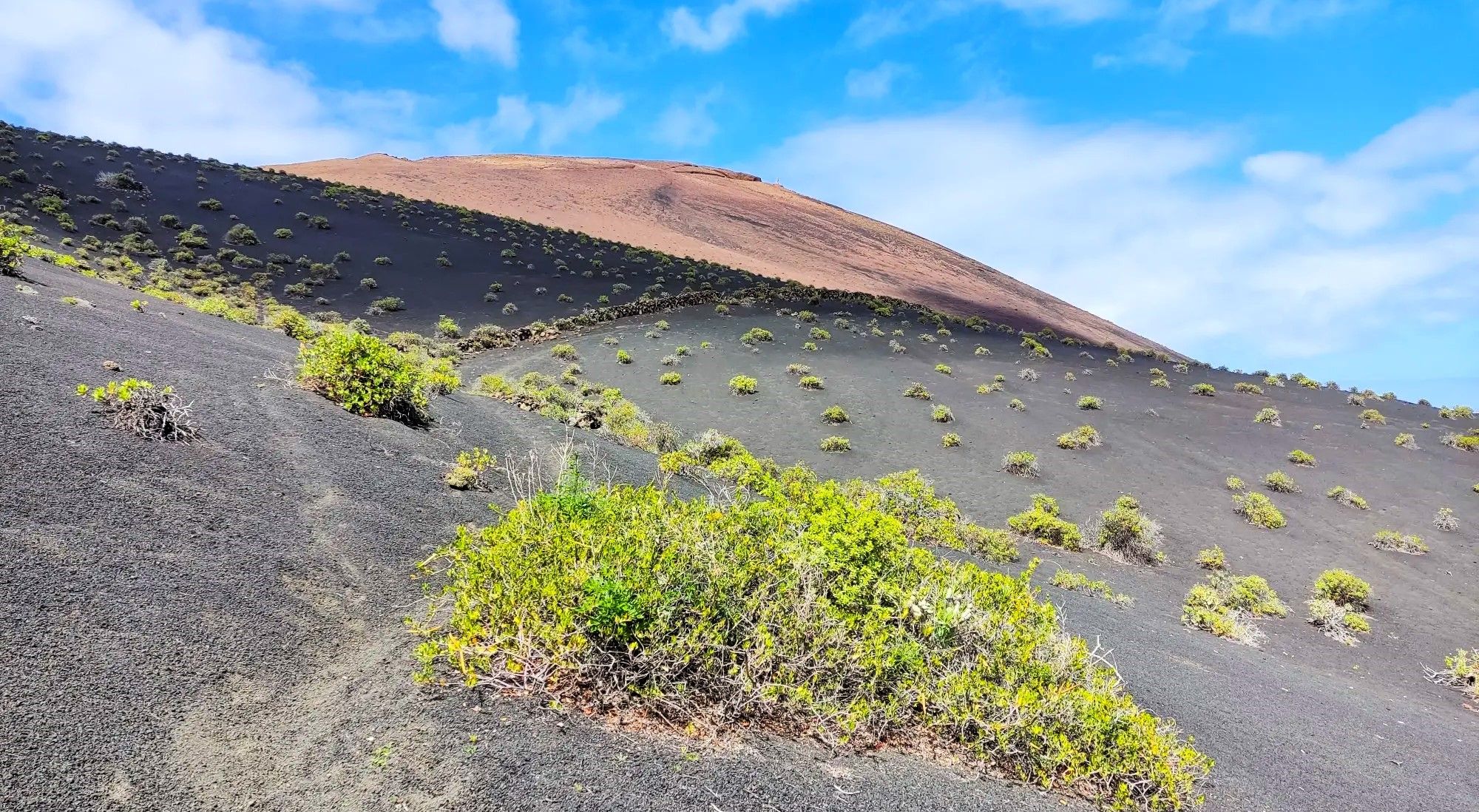
Canarian essence and traditional paths – El Hierro Loop
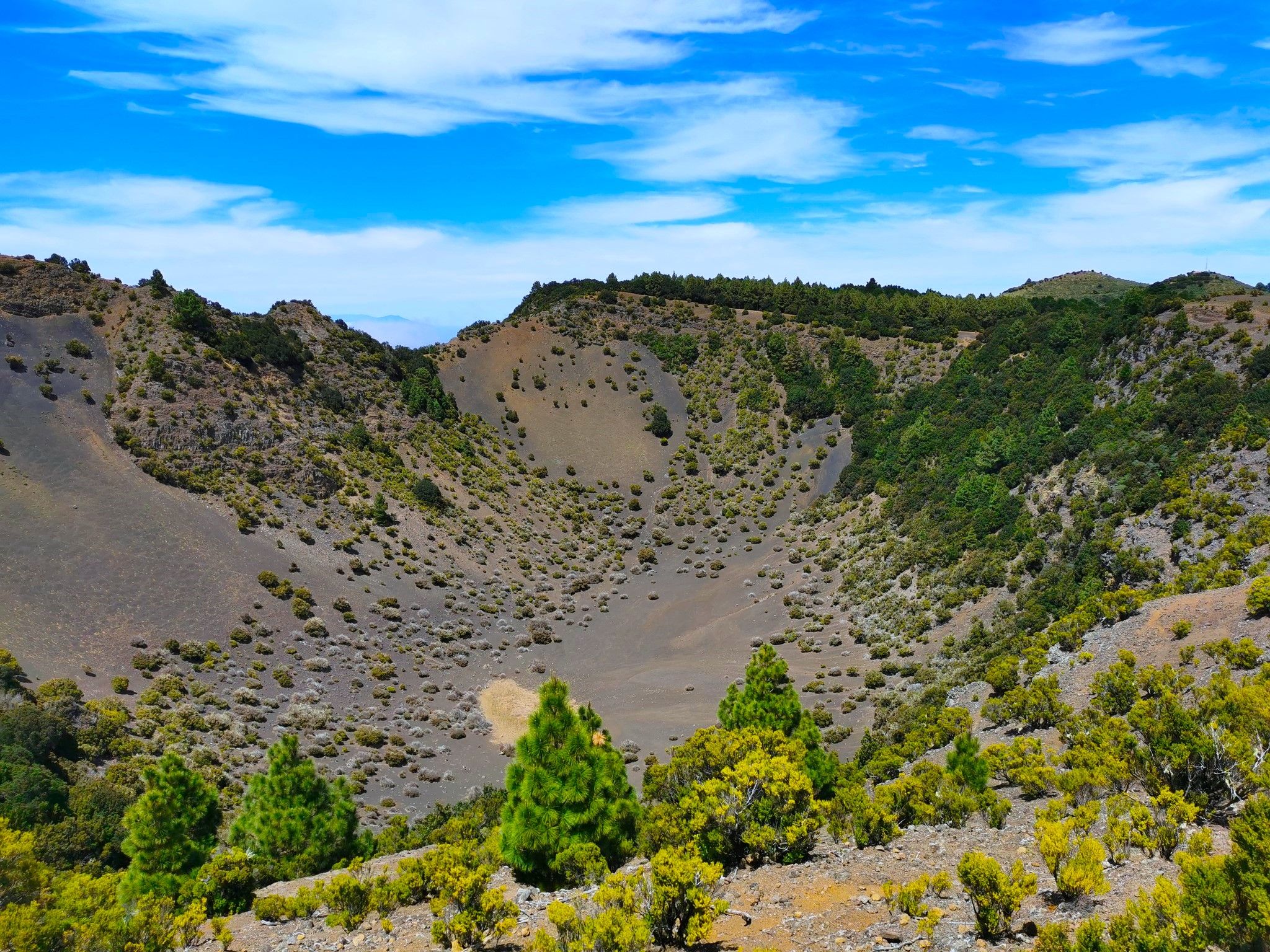
Land of secrets and volcanoes – El Hierro (GR 131)
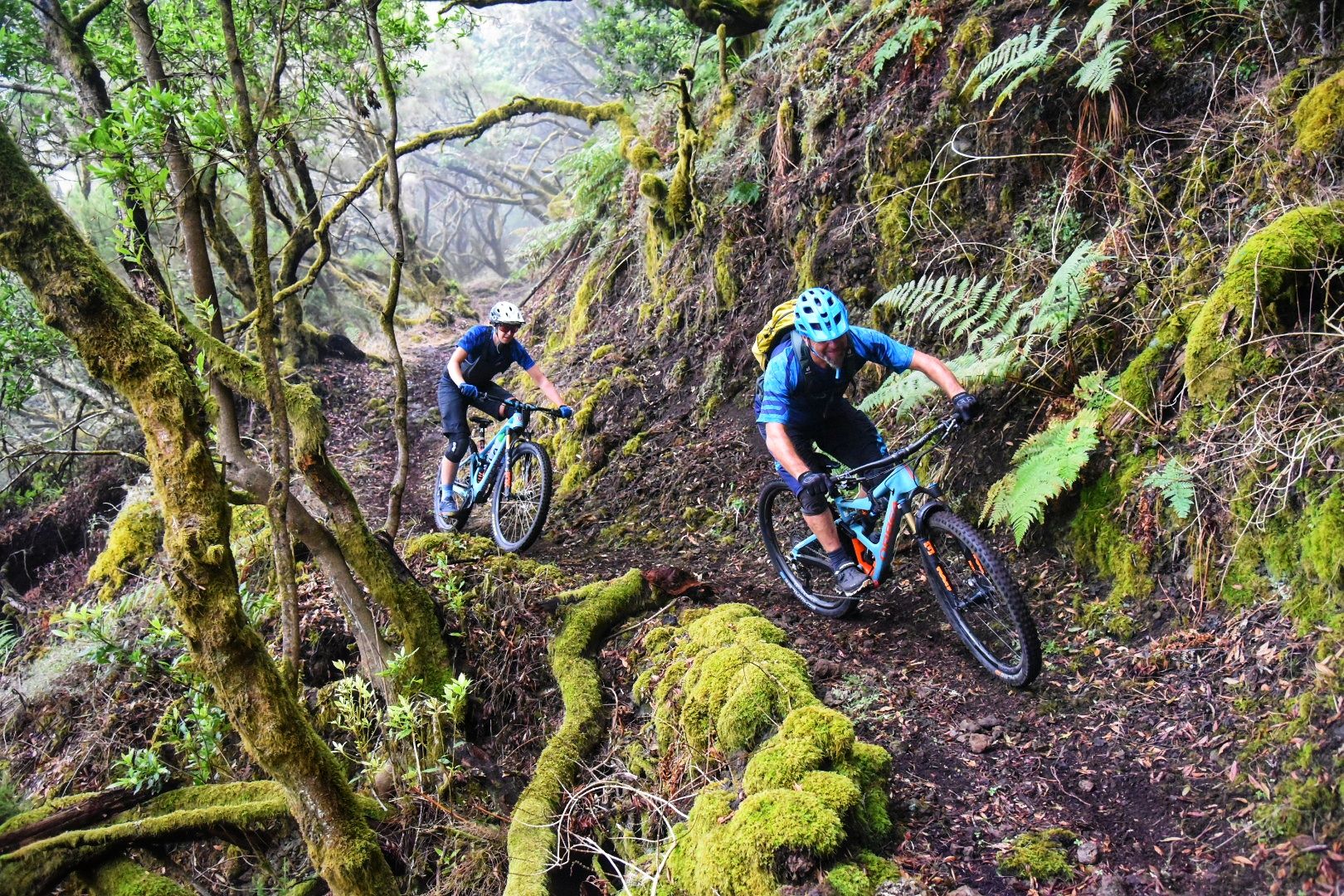
El Hierro: Cycling at the End of the World
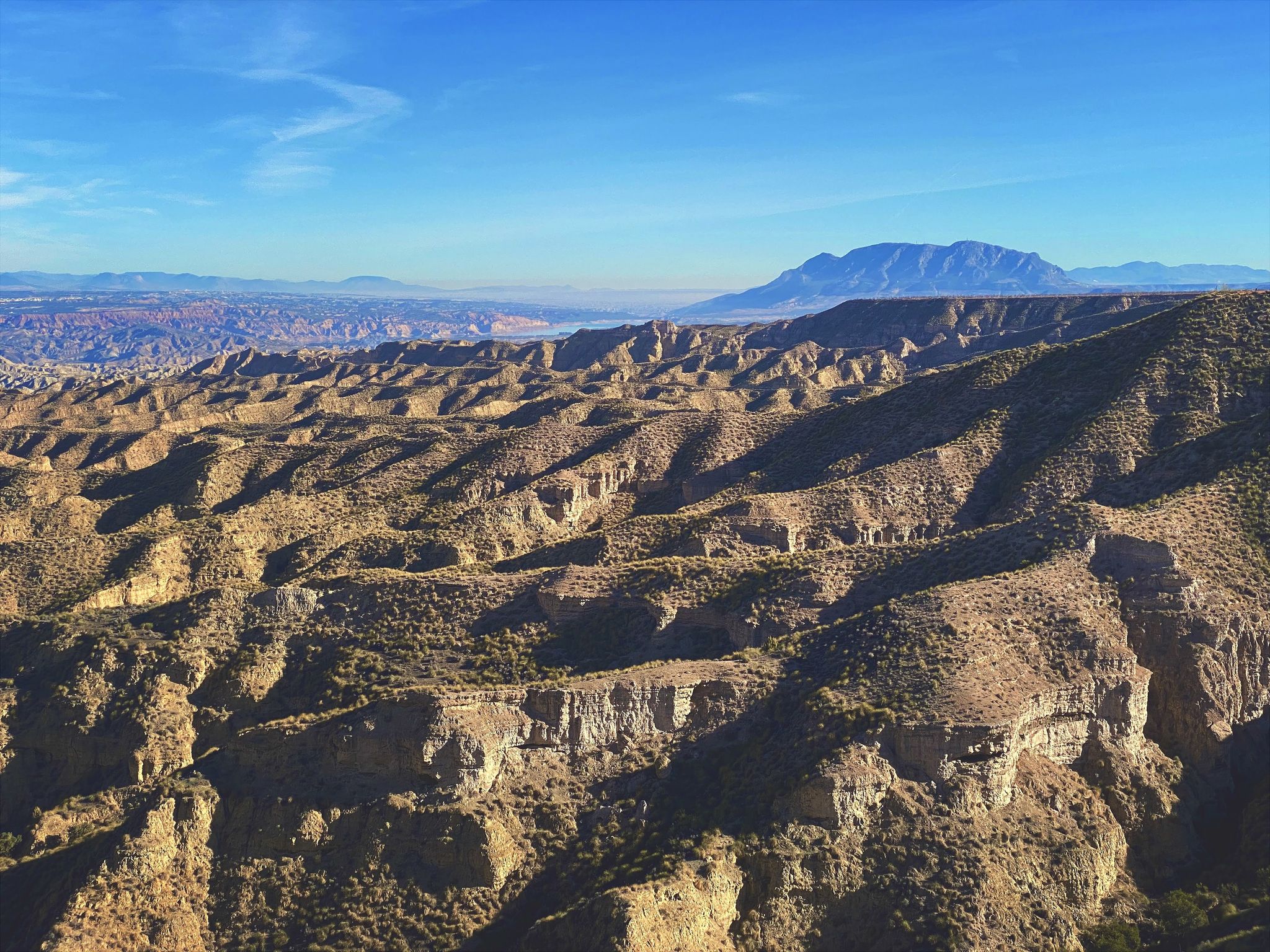
Discover Spain by gravel — a selection of must-see routes
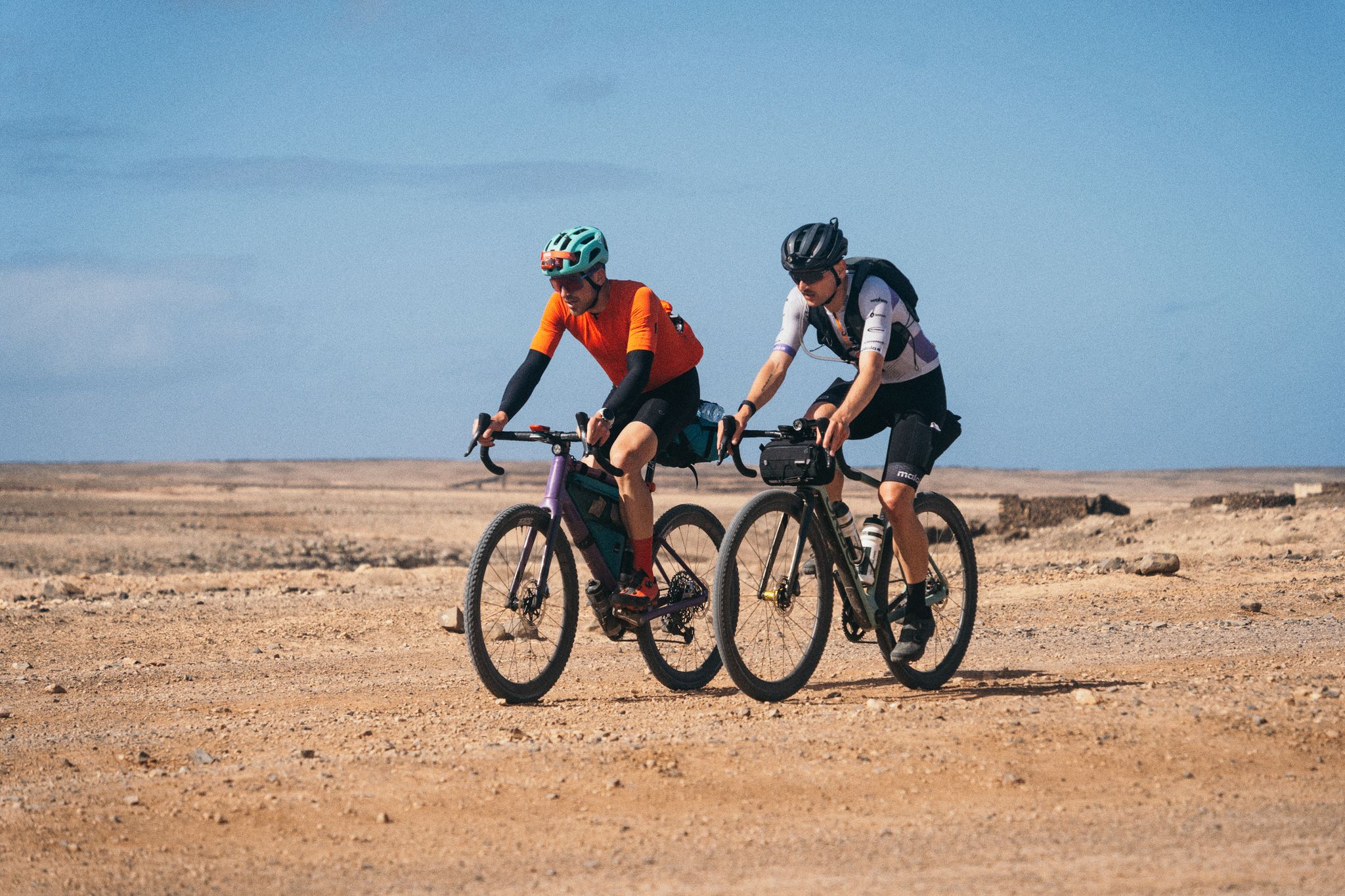
GranGuanche Audax Gravel — five islands in two and a half days
Other adventures in El Hierro


Tips from the Community

Attention, this path to the Barranco no longer exists / this path is no longer passable !!! A few meters after the tunnel / underpass, it's the end and thus the stop for this circular hike. The bushes and algaves are man-high. You also can't tell which direction to go. There is no way through to the Barranco!
0
0
Not all areas are suitable for swimming at all times.
0
0

A beautiful, independent destination with great views. It just shouldn't be too stormy.
0
0

A spectacular path has been created here. Just for us, the hikers. Many thanks to the path sponsors!
0
0

Good starting point for a road bike tour. Public toilets and a small beach bar
1
0

Reopened on 28.2.25 at 2:00 p.m. Construction site still exists, drive carefully. Greetings Eugen, El Chijo
0
0

The sea pools in Maceta are closed for renovation work until around May 2025.
1
0
Access closed due to construction work from Monday 8 a.m. to Friday 2 p.m.
1
0
Frequently Asked Questions
How many easy hiking trails are available in El Hierro?
El Hierro offers a wide selection of easy hiking trails, with over 80 routes specifically categorized as easy. In total, the island features more than 330 hiking routes, catering to various skill levels.
What kind of terrain can I expect on easy hikes in El Hierro?
Easy hikes in El Hierro showcase the island's diverse volcanic landscape. You'll encounter dramatic volcanic formations, solidified lava flows, and rugged coastlines. Elevated areas feature enchanting laurisilva (laurel) forests, while the El Golfo depression offers fertile valleys. Some trails also lead through unique areas like El Sabinar, known for its twisted juniper trees.
Are there any easy circular walks in El Hierro?
Yes, El Hierro has several easy circular walks. For instance, the Sendero Arenas Blancas to El Verodal – circular connects two unique beaches, and the Sendero del Mirador Roque Gaviotas — circular desde Tamaduste offers coastal views. Another option is the From Tiñor to Ventejís — circular by the Barranco de Tiñor.
What natural features or landmarks can I see along easy trails?
Many easy trails lead to or pass by significant natural features and landmarks. You might encounter the unique twisted juniper trees of El Sabinar, enjoy panoramic views from various miradors like La Peña Viewpoint, or discover natural pools like Charco Azul. Some routes also offer glimpses of volcanic formations and lush laurisilva forests.
Are there family-friendly easy hikes in El Hierro?
El Hierro is an excellent destination for family-friendly hikes, especially on its easy trails. The island's tranquil atmosphere and diverse, yet manageable, terrain make it suitable for children. Look for routes with minimal elevation gain and shorter distances, such as the Sendero Arenas Blancas to El Verodal – circular, which is just under 5 km.
What is the best time of year for easy hiking in El Hierro?
The mild shoulder seasons of spring and fall are ideal for easy hiking in El Hierro, offering warm temperatures and clear skies. Winter also provides pleasant conditions with fewer crowds. The island's climate generally allows for comfortable hiking year-round, but these periods are particularly recommended for their agreeable weather.
What are the typical durations for easy hikes in El Hierro?
Easy hikes in El Hierro typically range from 1 to 2.5 hours. For example, the Sendero del Mirador Roque Gaviotas — circular desde Tamaduste can be completed in about 1 hour, while the Guinea Ecomuseum to Pozo de Los Padrones Trail takes around 2 hours.
Are there any easy hikes that pass by historical or cultural sites?
Yes, some easy hikes offer a glimpse into El Hierro's rich history and culture. The Guinea Ecomuseum to Pozo de Los Padrones Trail, for instance, leads through the island's interior, offering insights into its natural and cultural heritage, and passes near the Guinea Ecomuseum and Lizardarium.
What do other hikers enjoy most about easy hiking in El Hierro?
The komoot community highly rates hiking in El Hierro, with an average score of 4.5 stars from over 2,000 reviews. Hikers often praise the island's untouched natural beauty, the tranquility away from mass tourism, and the diverse landscapes ranging from volcanic formations to lush forests. The well-preserved ecosystems and unique natural features like the twisted juniper trees and natural pools are frequently highlighted.
Are there easy trails with good viewpoints?
Absolutely. El Hierro is known for its stunning viewpoints. Many easy trails lead to or offer spectacular vistas, such as the panoramic views from the Mirador de la Peña, which overlooks the El Golfo depression. The island's rugged cliffs and volcanic peaks, like Malpaso Peak, also provide excellent natural panoramas accessible via various routes.
Can I find easy hikes near natural swimming spots or beaches?
Yes, El Hierro features easy hikes that connect to or pass by its unique natural pools ('charcos') and distinctive beaches. The Sendero Arenas Blancas to El Verodal – circular links the blonde-sand Playa de las Arenas Blancas with the red-sand Playa del Verodal. You can also find natural pools like Charco Azul and Cala de Tacorón, perfect for a refreshing dip after a walk.
Are there any easy hikes that explore the island's unique forests?
Yes, El Hierro offers easy hikes through its distinctive forest ecosystems. The elevated areas feature enchanting laurisilva (laurel) forests, providing a magical atmosphere. Additionally, the western tip of the island is home to El Sabinar, where ancient juniper trees have been dramatically sculpted by the wind, creating a truly unique and eerie forest experience on some trails.
Most popular attractions in El Hierro

Get inspired with the komoot mobile app


